


Alabama State Maps


Alabama Map Art, Elevation & Shaded Relief Maps
Whether you’re from Alabama, like to visit there with family, or the Heart of Dixie just holds a special place in your heart, our custom printed Alabama wall maps bring a slice of the American South to any home or office. From our stunning elevation maps and geological relief maps to our meticulously restored historical maps, every product we offer reflects the high quality and attention to detail our customers have come to love and expect from Muir Way.
What makes Muir Way maps of Alabama unique?
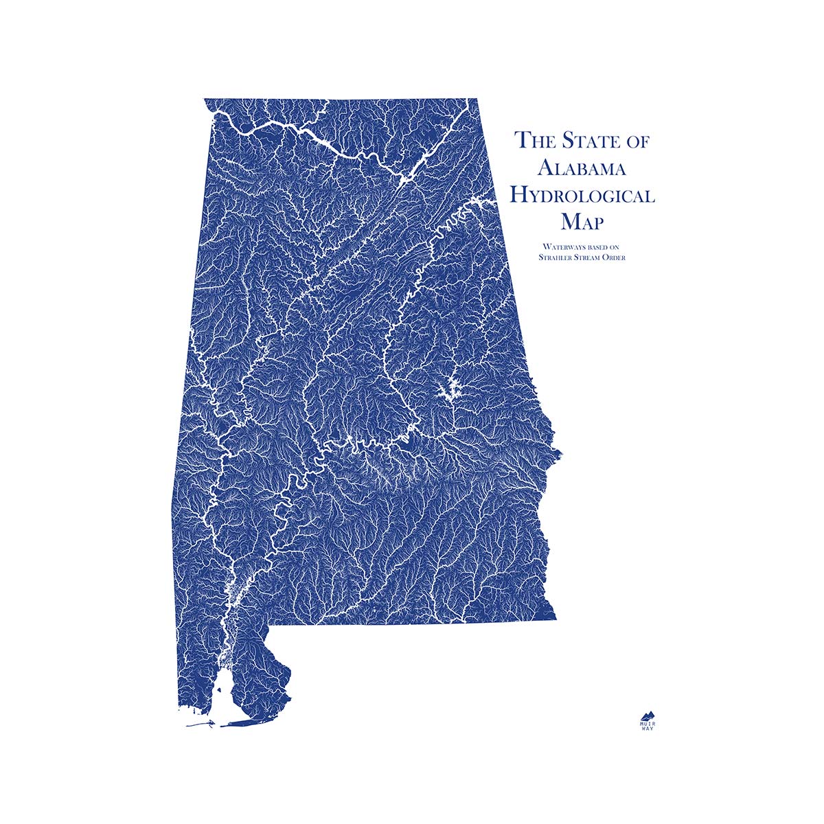
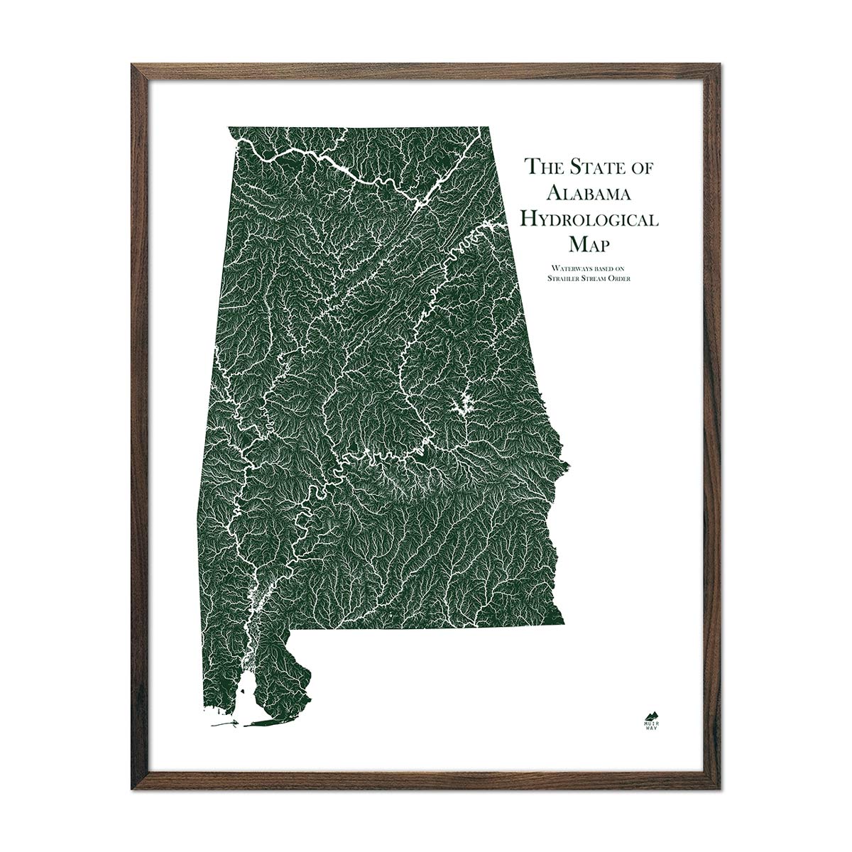
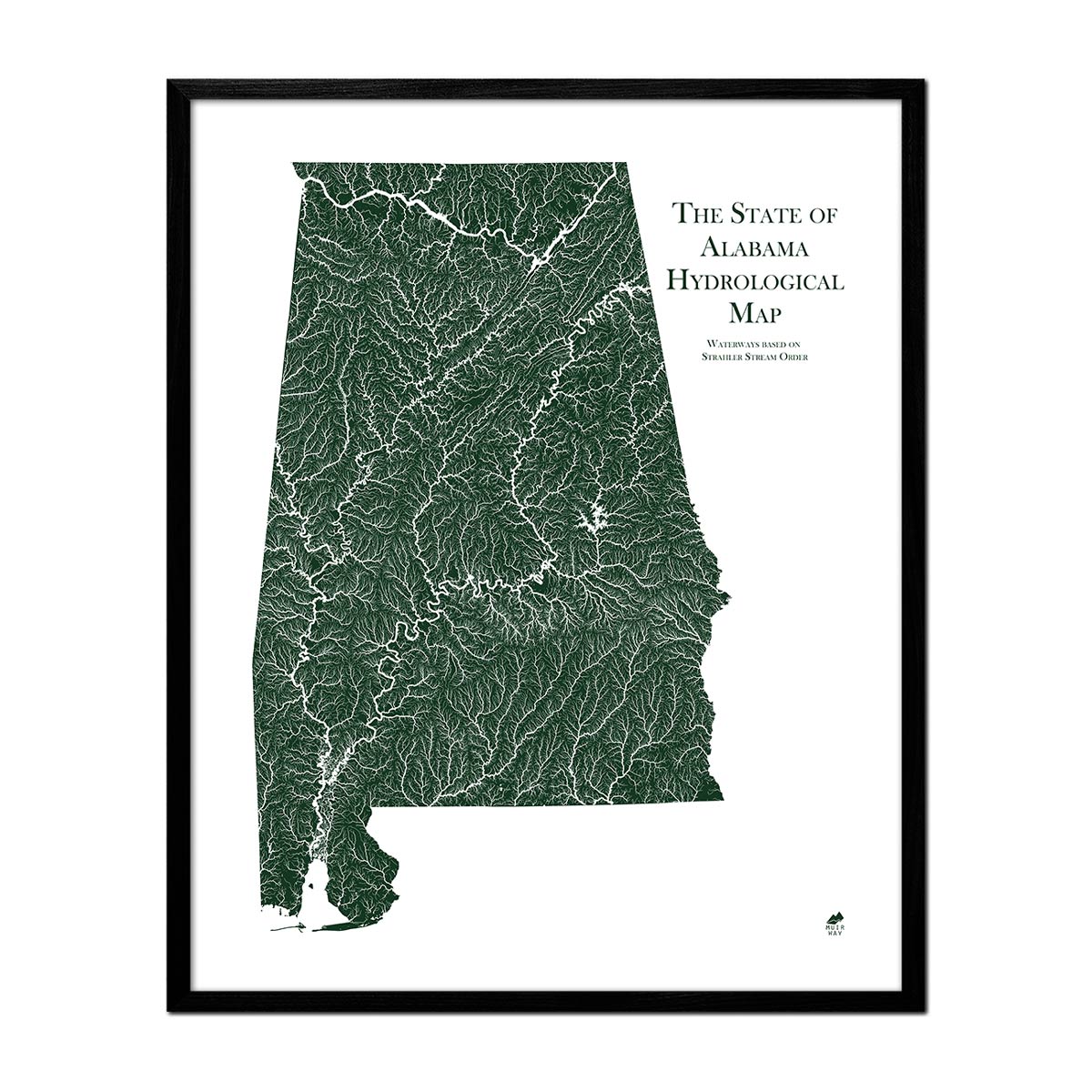
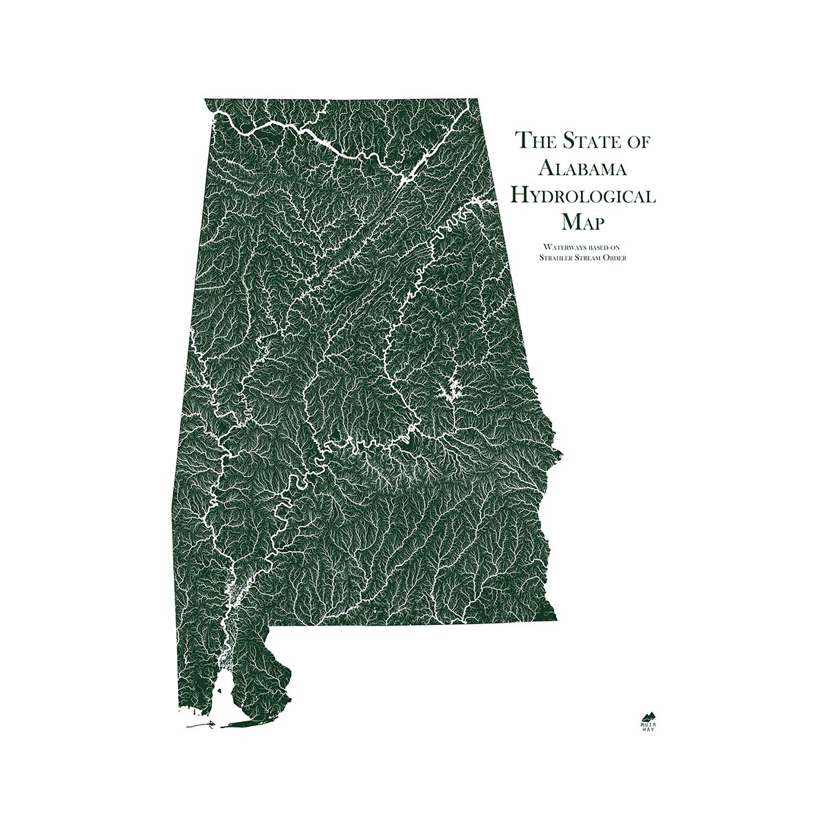
When you purchase an Alabama wall map from Muir Way, you get far more than just a poster or generic print. In addition to custom printing every Alabama map using archival inks and fine art paper certified to last 100 years, the artwork of our maps themselves is designed to bring new light to the beautiful terrain they feature. Our elevation maps incorporate hand-shaded relief and Digital Elevation Data with historical map terrain for a stunning 3D effect on a flat surface, and our hydrological maps depict every river in the state--even intermittent streams--and every body of water over 0.2 miles in diameter in crisp detail. The meticulous craftsmanship and design we bring to our maps creates heirloom quality artwork to last for generations.
Can I get my Alabama map framed?
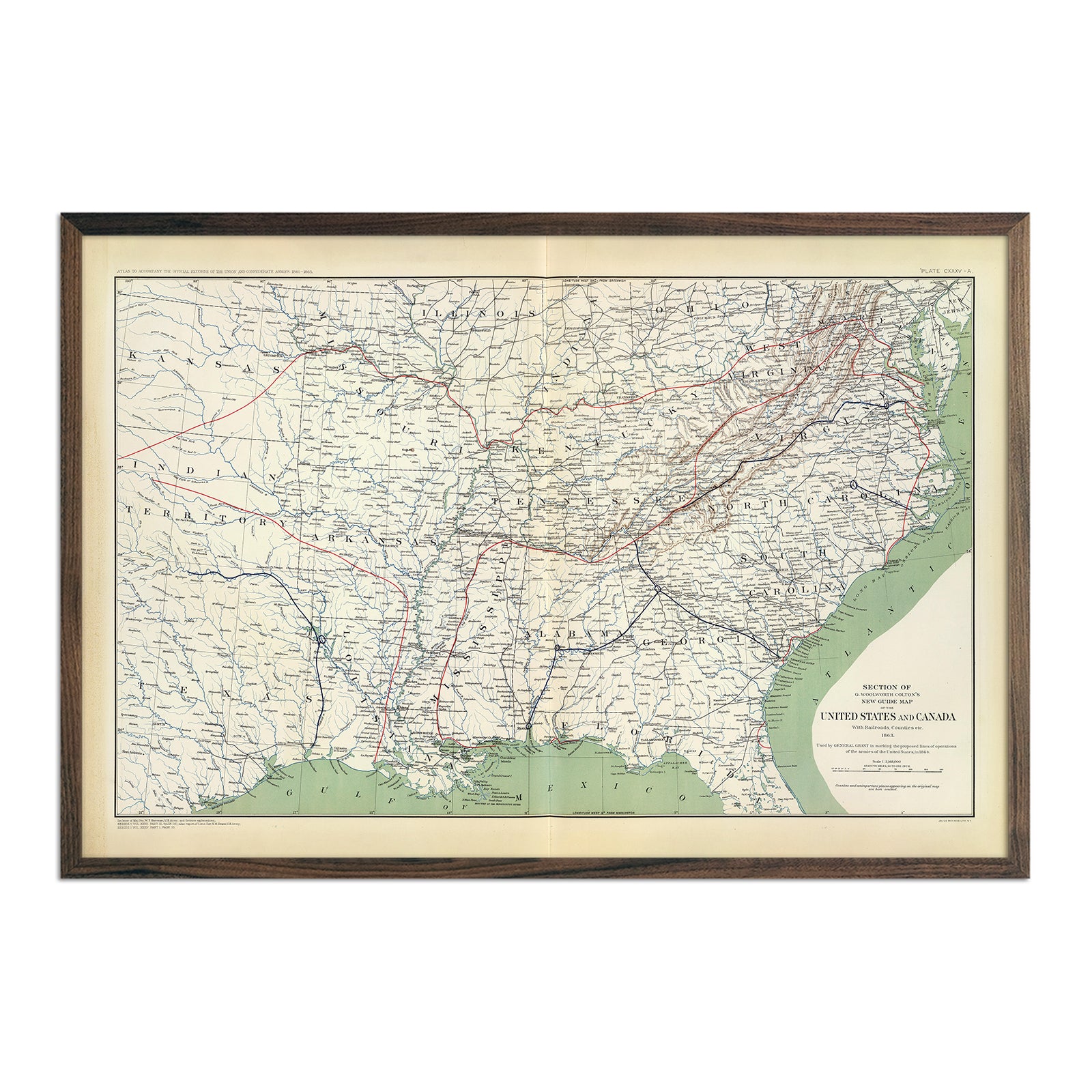
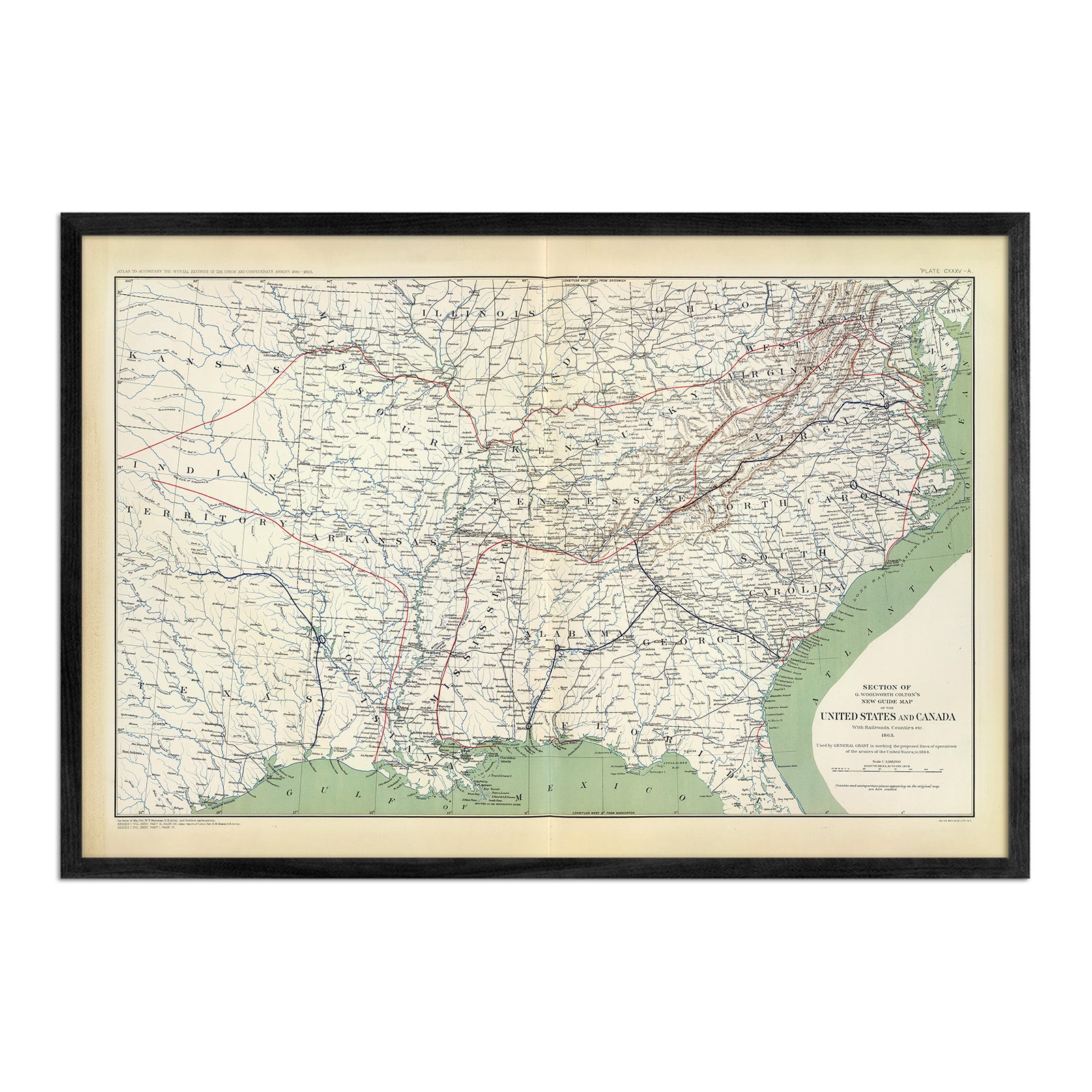
Yes! Many of our Alabama maps are available on both fine art paper and beautiful gallery-wrapped canvas, and all are available professionally custom-framed with real wood, or unframed. If you’d like to purchase your Alabama artwork framed, you can choose from several different colors and wood finishes to perfectly match your décor. If you’d prefer to use your own frame, all of our maps come in standard frameable sizes for easy gift giving.
Is a Muir Way map of Alabama a good gift idea?
Our custom-printed maps are popular gift choices for special holidays, anniversaries, or as a thank-you gift for someone special. We see our thousands of happy customer reviews as a testament to the quality we stand by when you purchase one of our maps as a gift. An Alabama wall map from Muir Way makes an ideal gift for outdoor enthusiasts, but can also be a perfect graduation gift for a student about to leave home for the first time, or a reminder of home for someone whose home state is Alabama but who no longer lives there. Our maps also make stunning corporate gifts that will remind your clients or colleagues of you every time they look at their wall.
How should I display my Alabama map?
Our maps are designed to offer crisp detail and great visual effect whether viewing up close or from across the room. Hang a framed wall map as a central focus, or purchase several and arrange them near each other for a complementary series. Our hydrological maps come in several colors or the quintessential black and white, and our geological relief maps feature brilliant colors. Don’t be afraid to bring black and white to a colorful room and vice versa. No matter which you choose, you’re sure to find an Alabama illustration that will look right at home.
What are the different types of maps of Alabama available on Muir Way?
Our Alabama maps are available in several different styles, including:
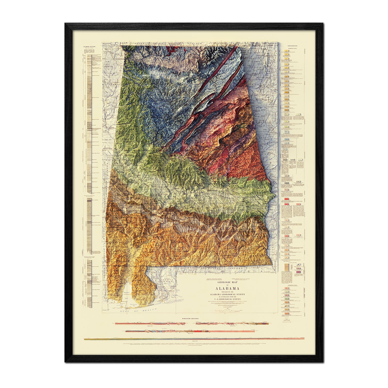
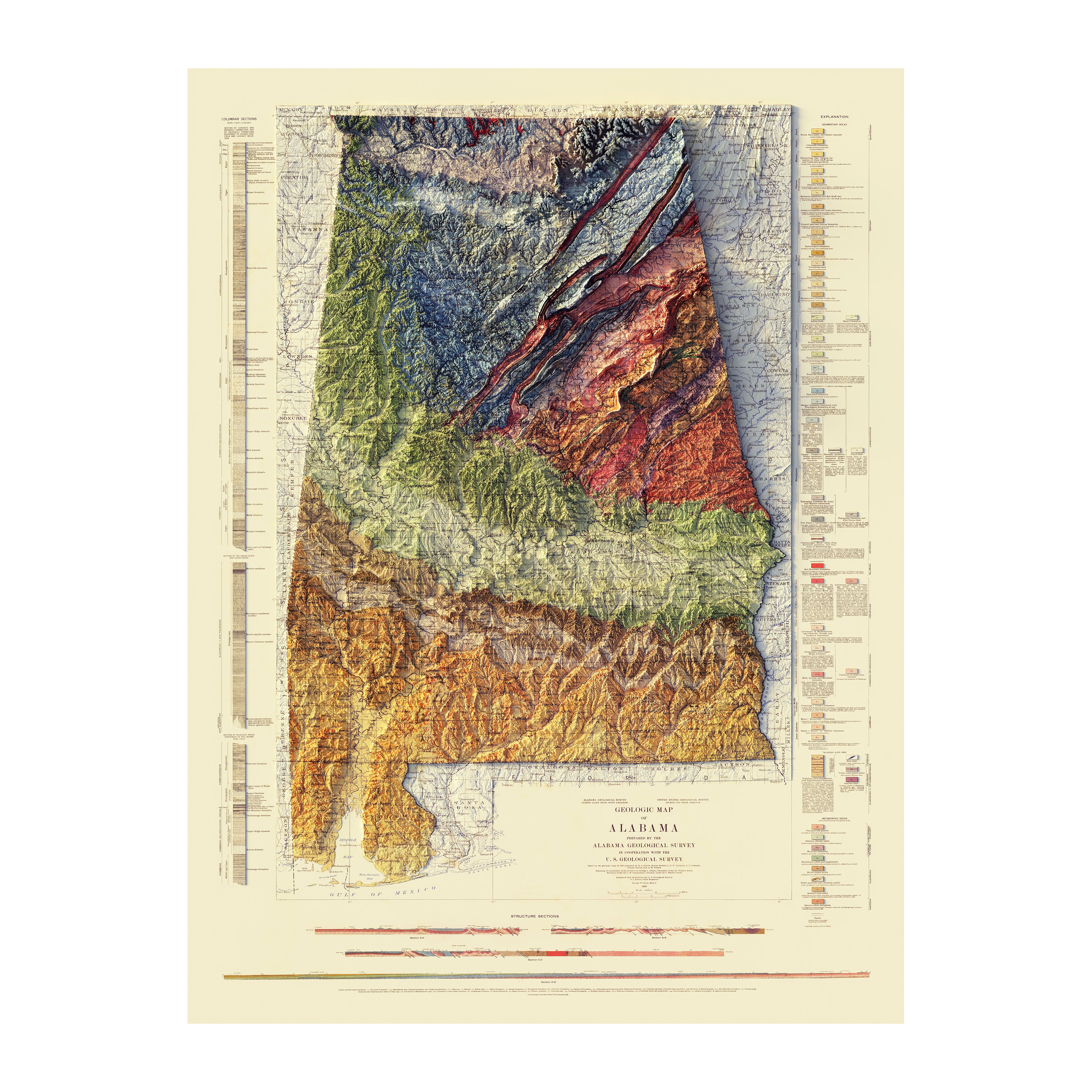
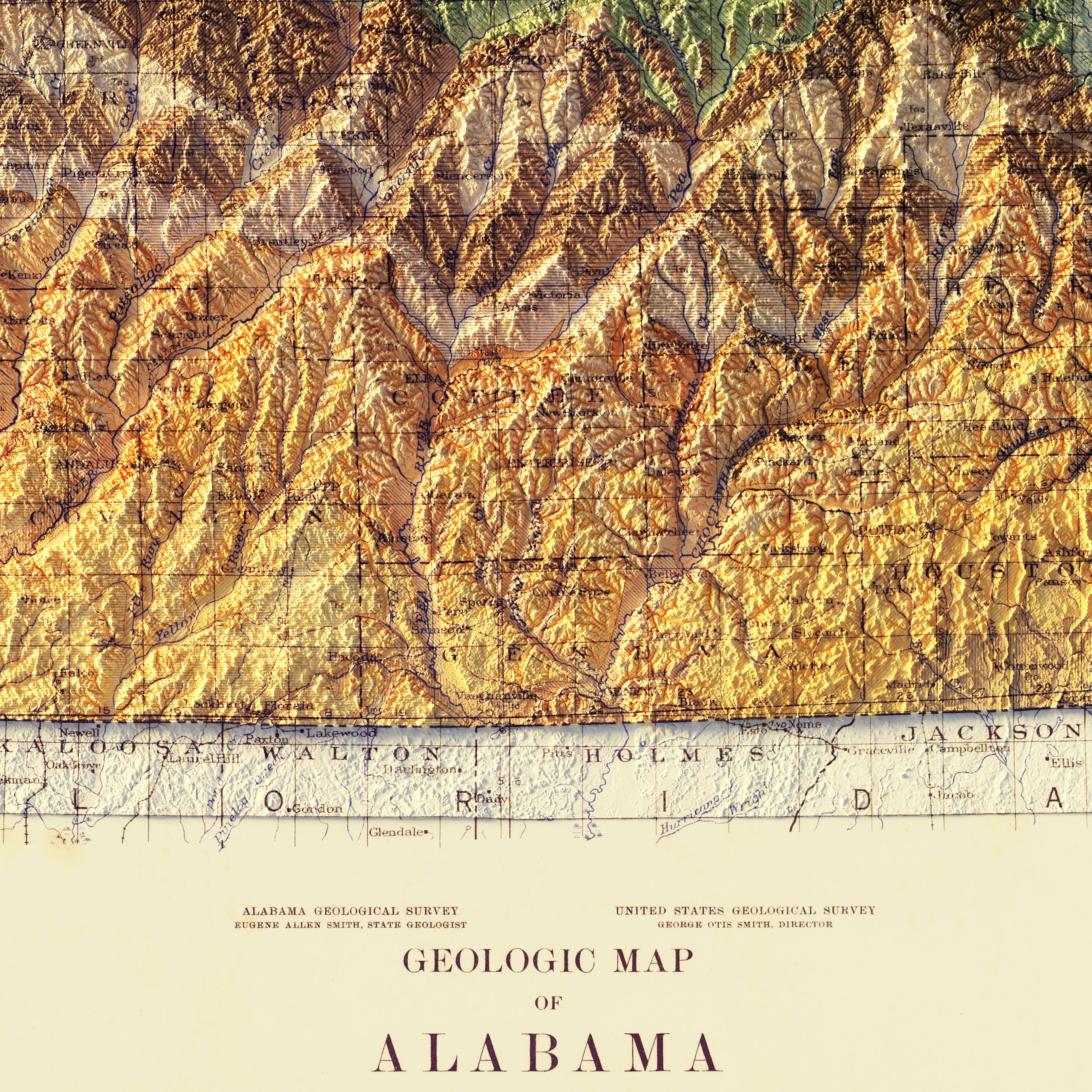
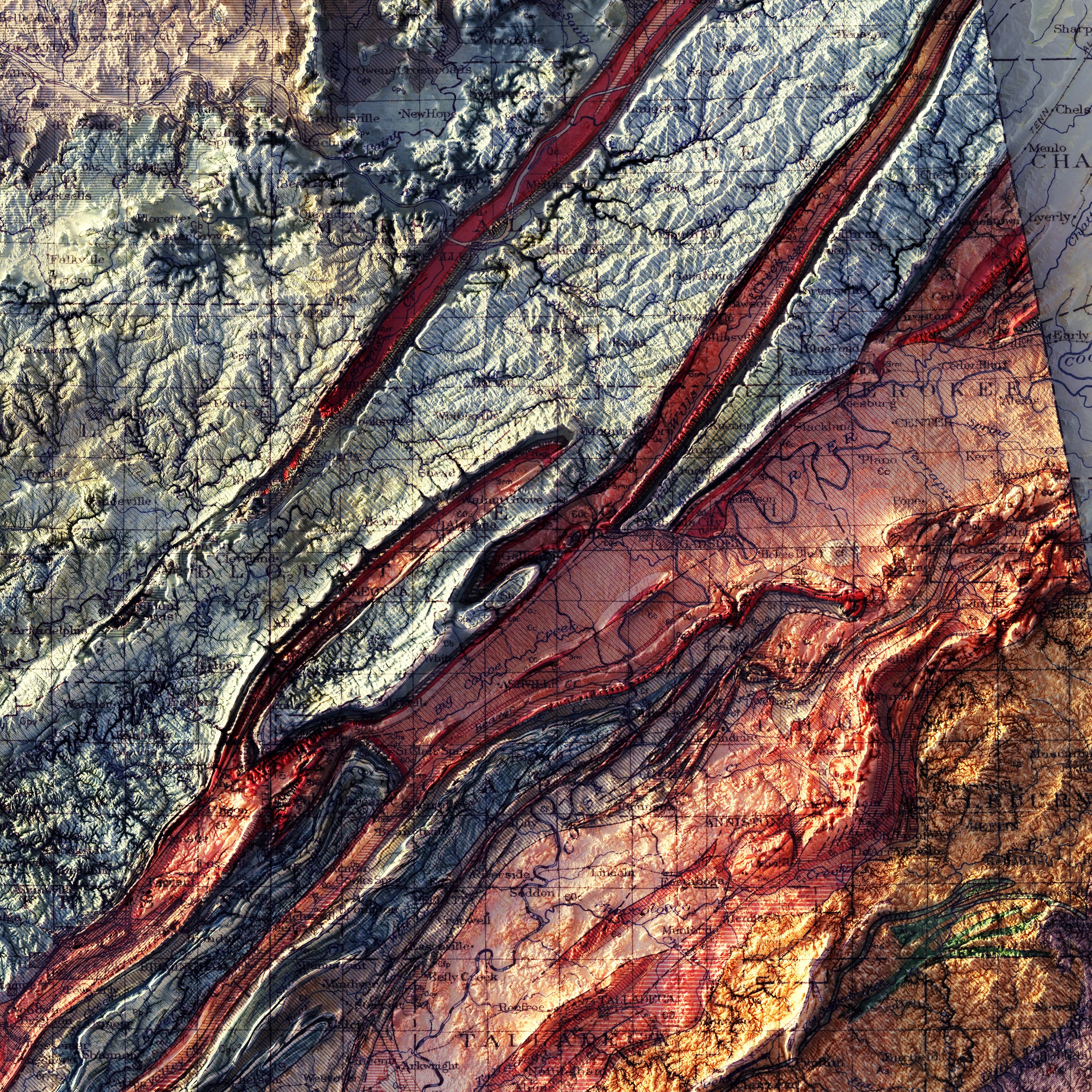
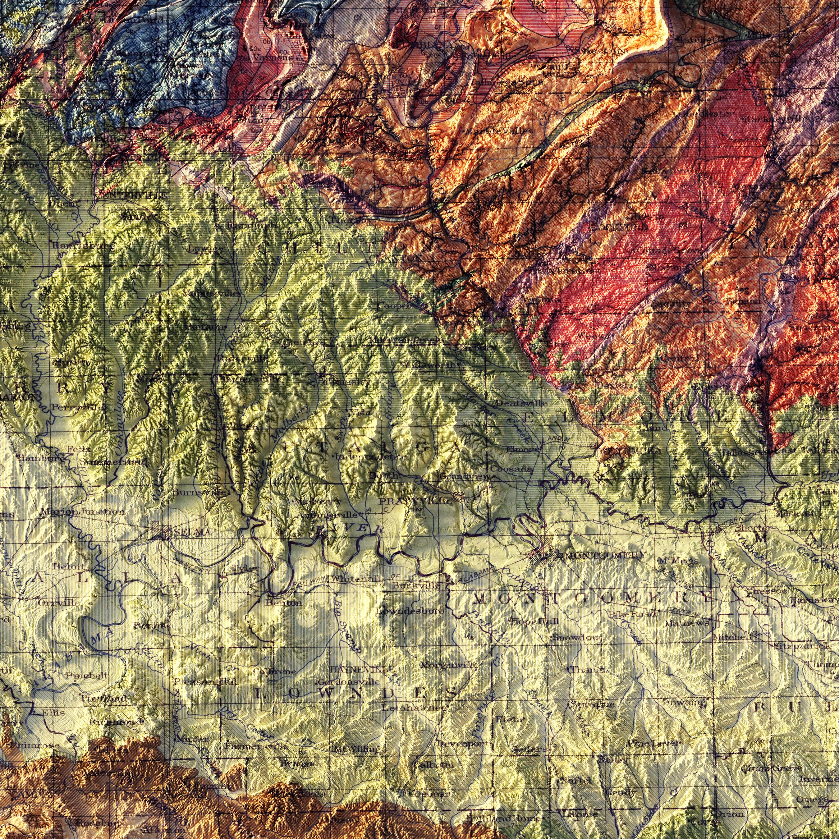
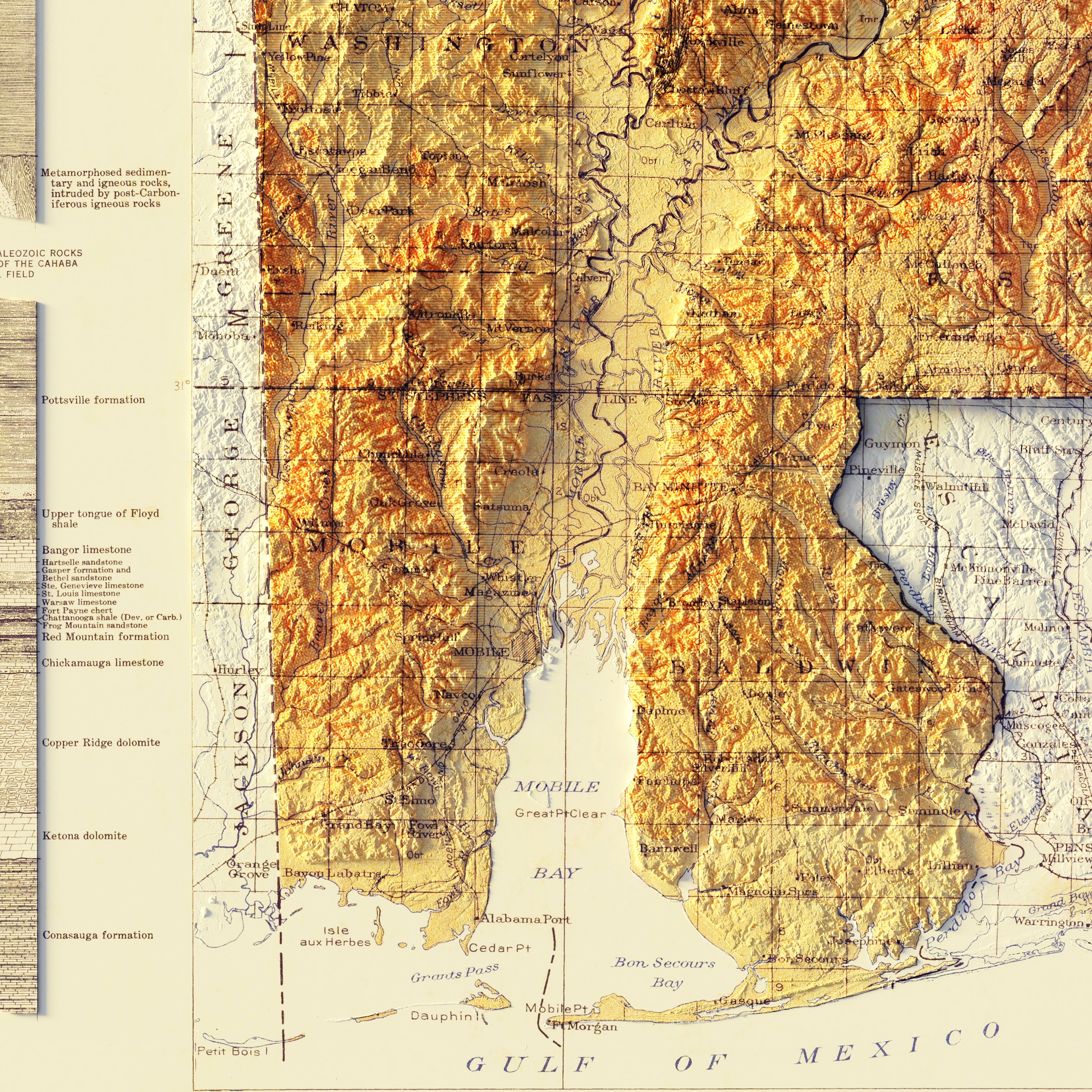
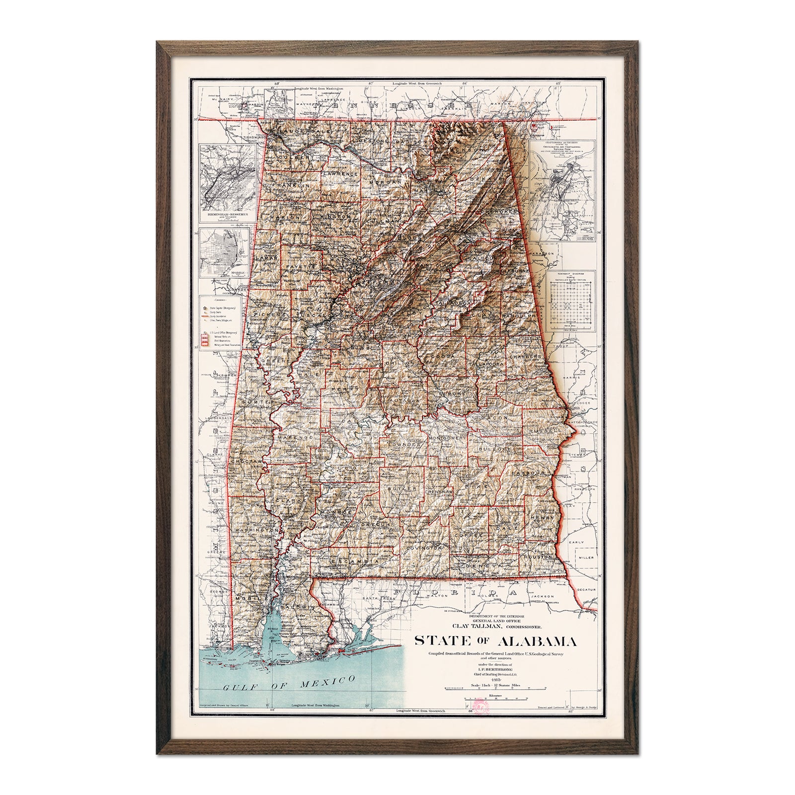
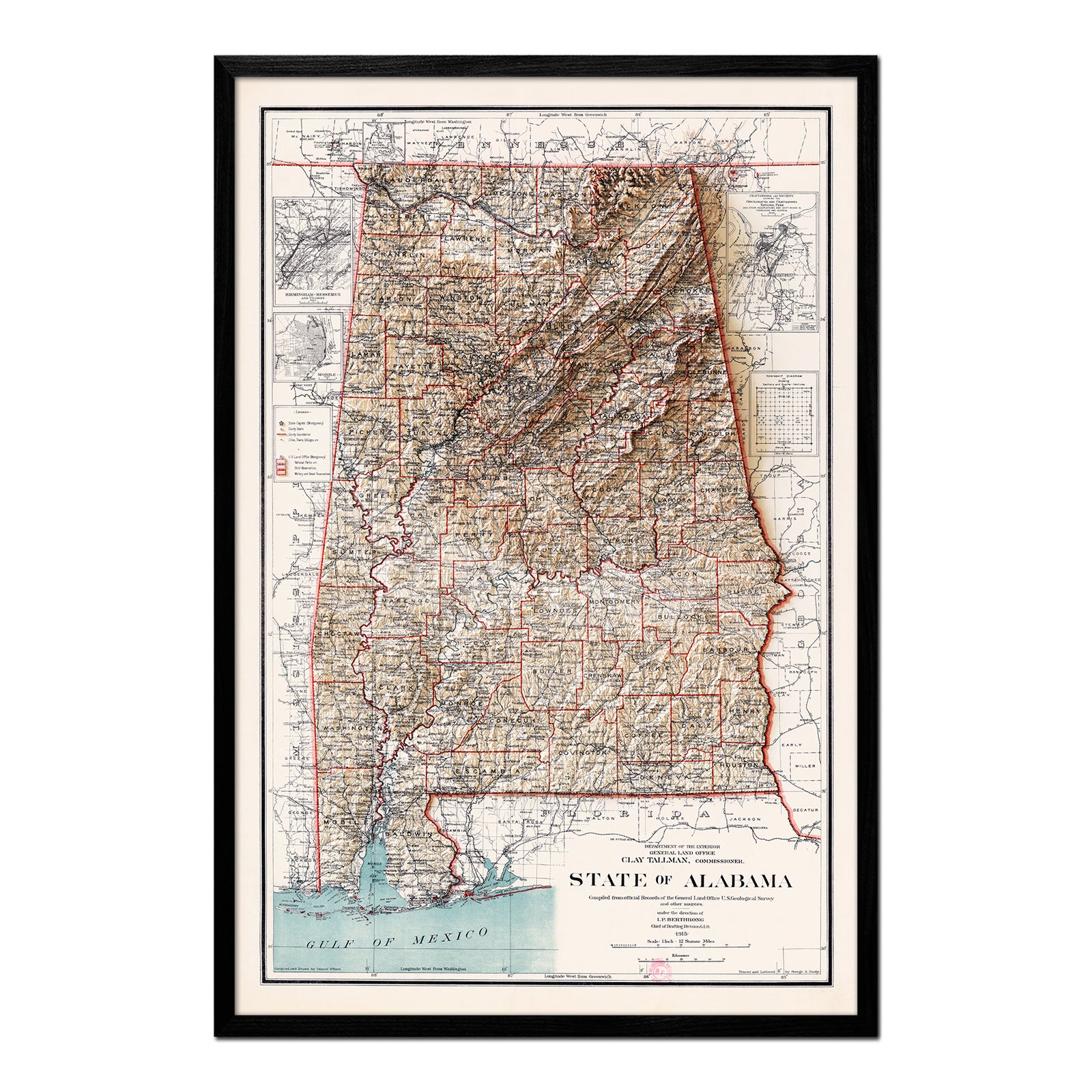
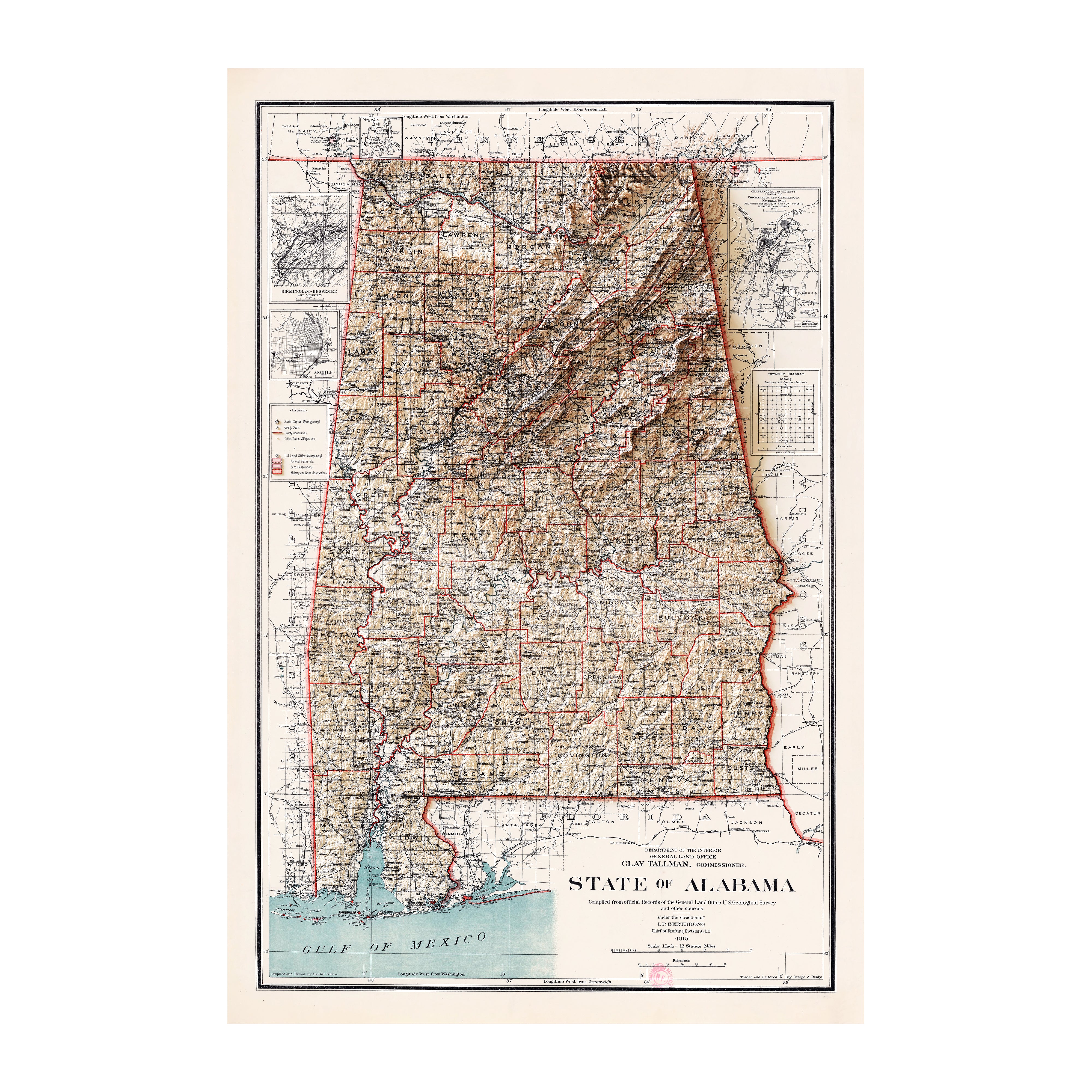
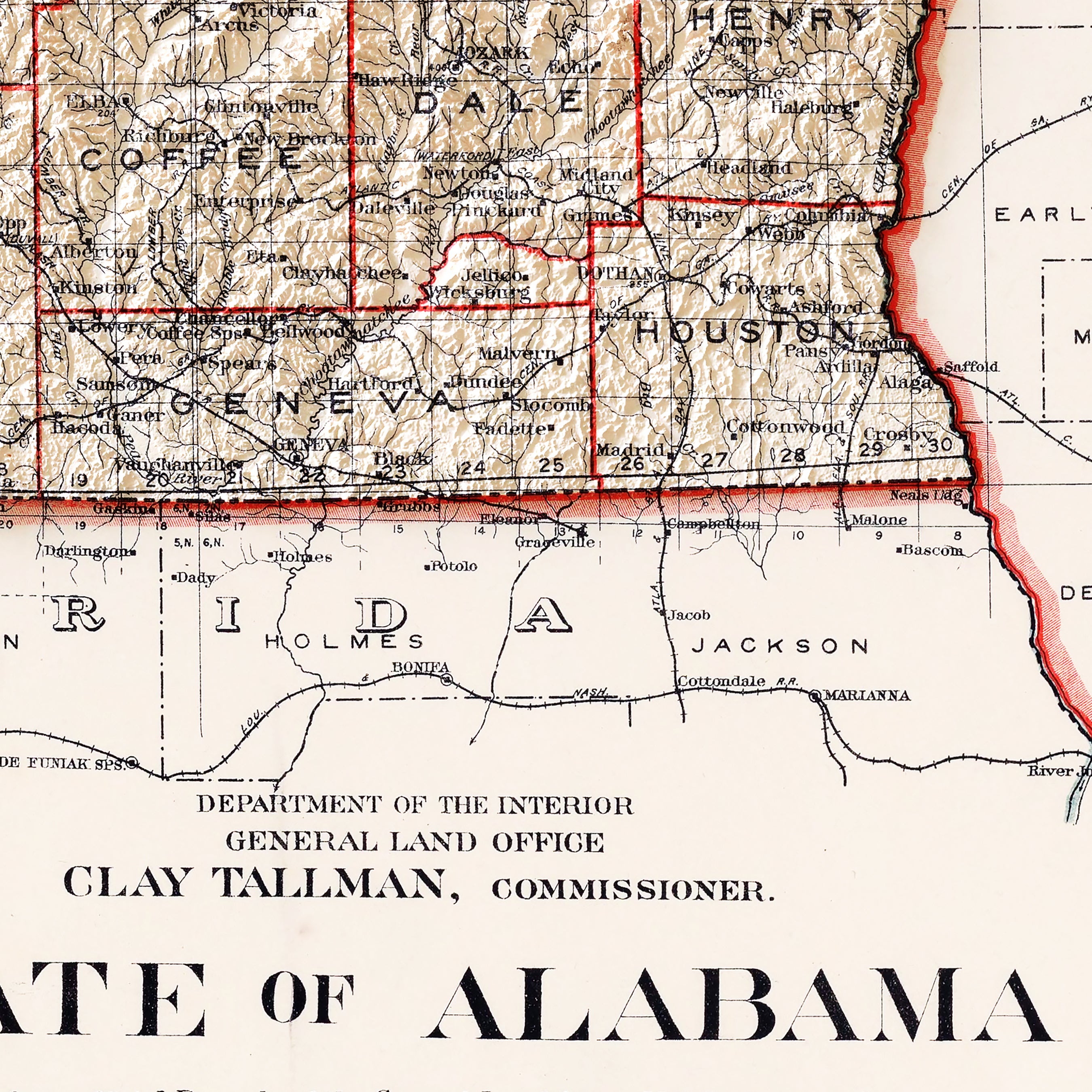
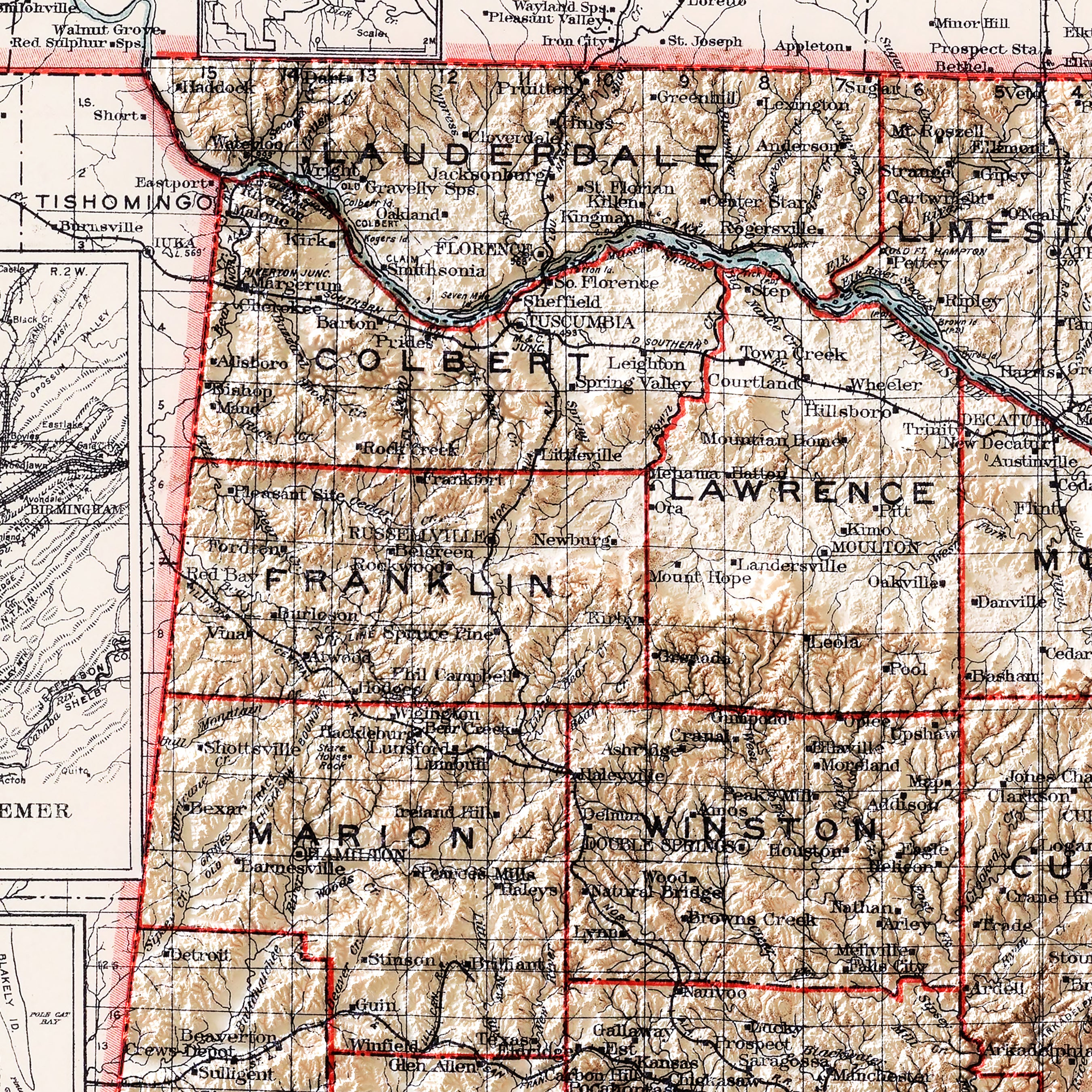
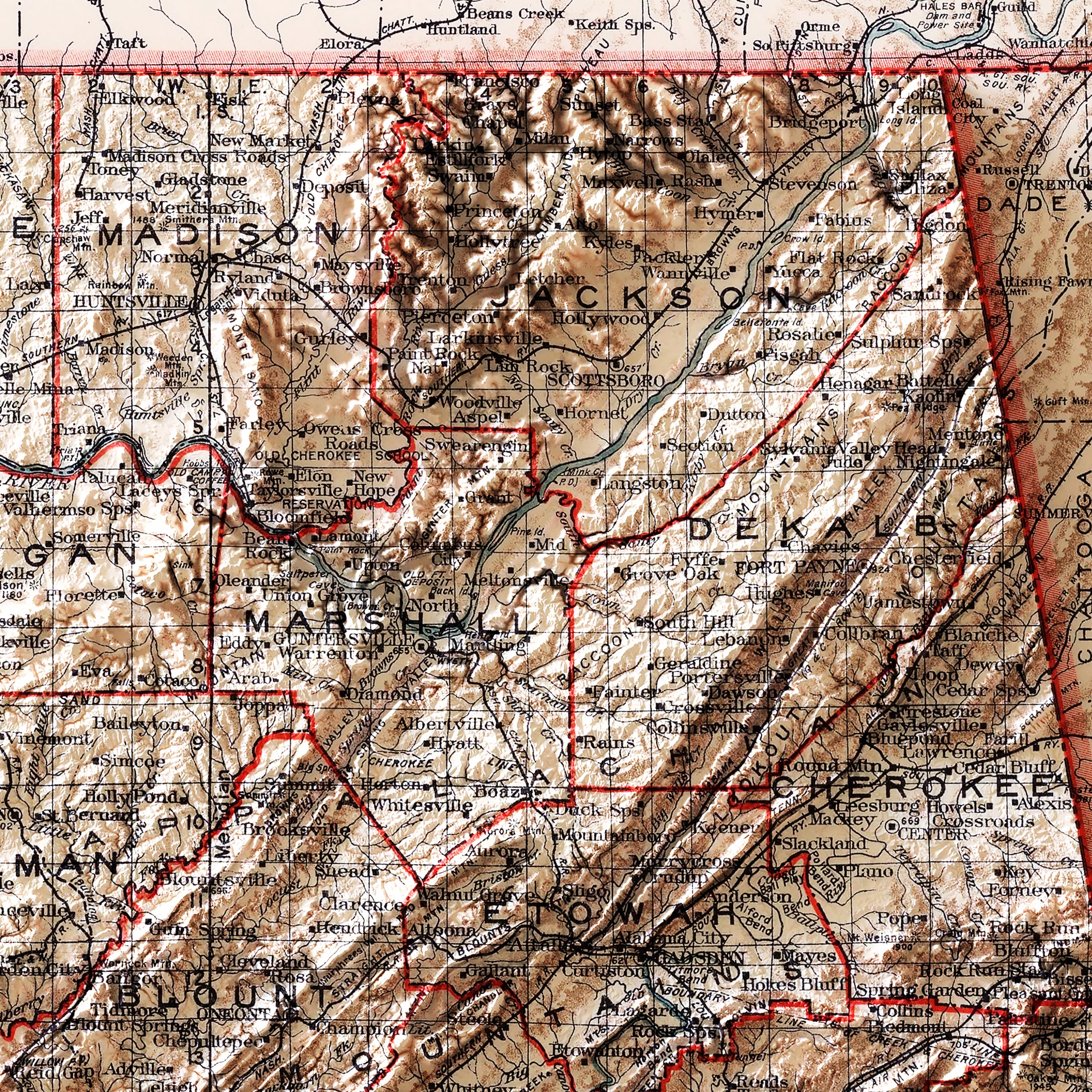
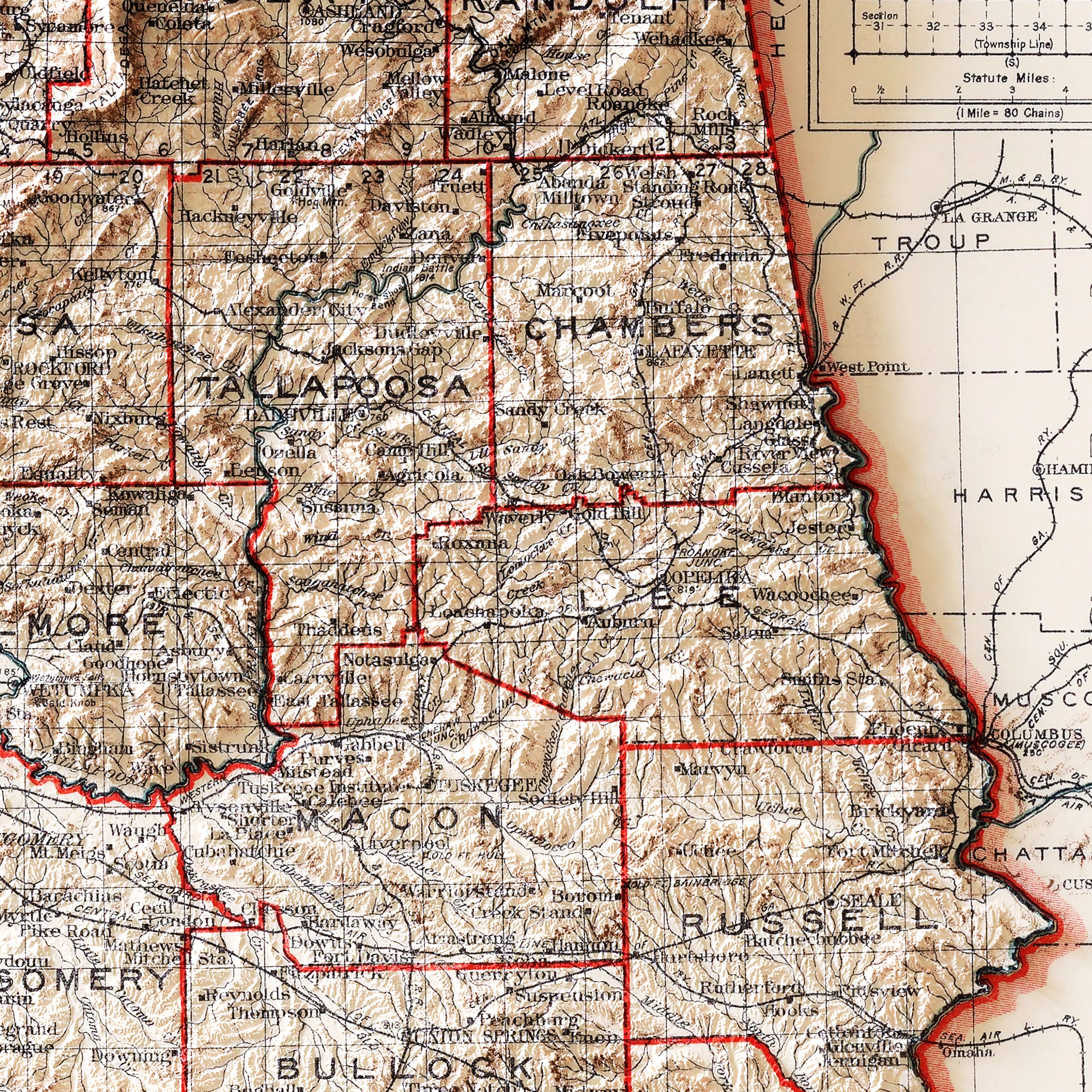
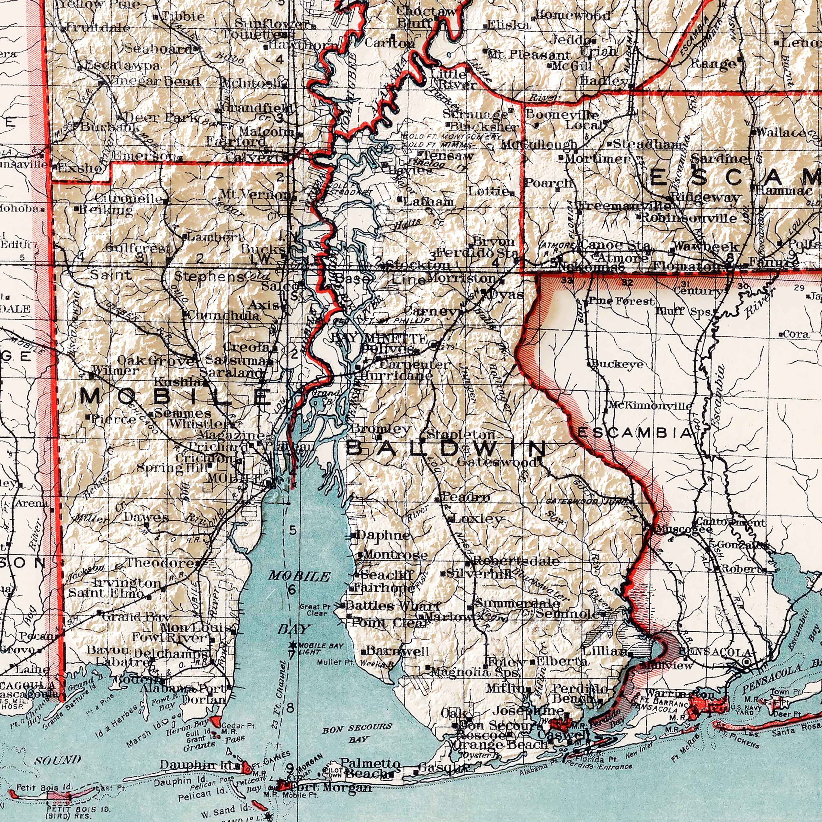
Alabama relief maps - Our relief maps of Alabama marry historical map landscapes with modern technology to showcase Alabama’s beautiful topography in an exciting new way. Using Digital Elevation Data and hand-shaded relief, we custom enhance vintage map imagery to bring a vibrant, surreal 3D effect on a flat surface. Choose from our 1926 geological relief map, showcasing Alabama’s varied elevation in a beautiful color-coded display; or our 1915 relief map where you can view variegated terrain amidst clearly marked individual state counties.
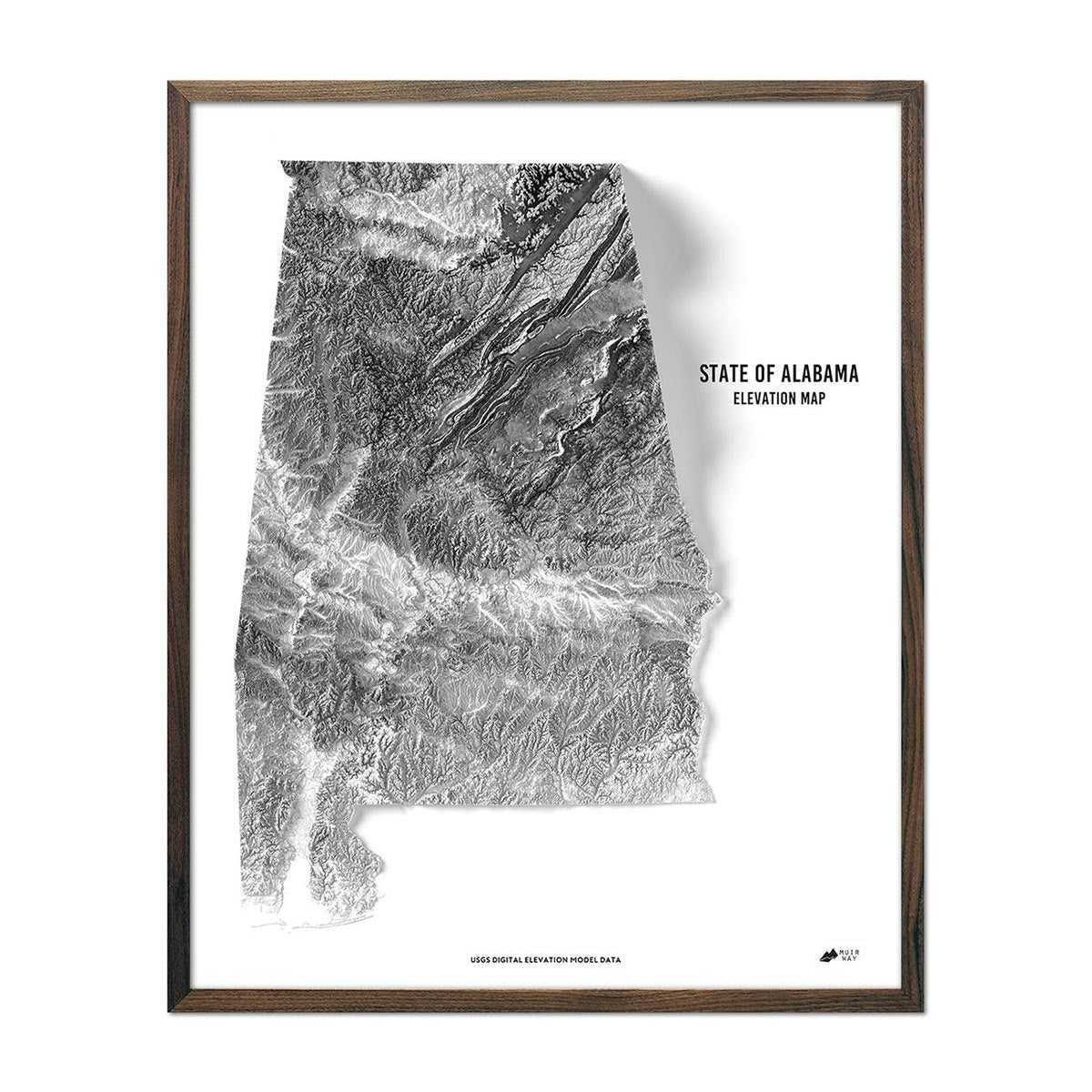
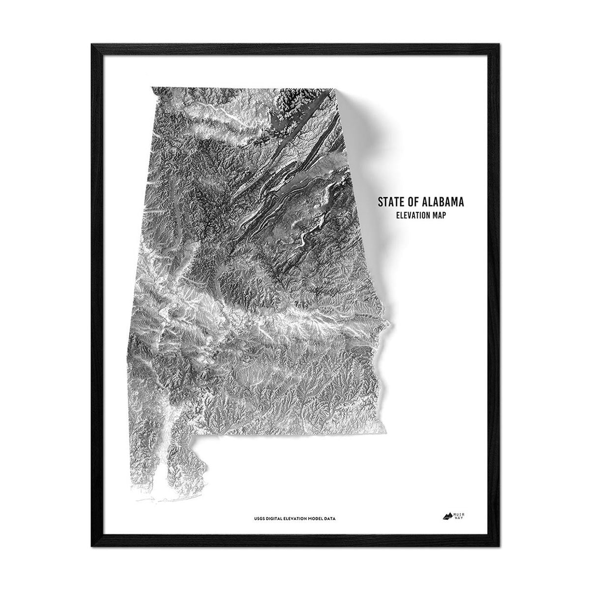
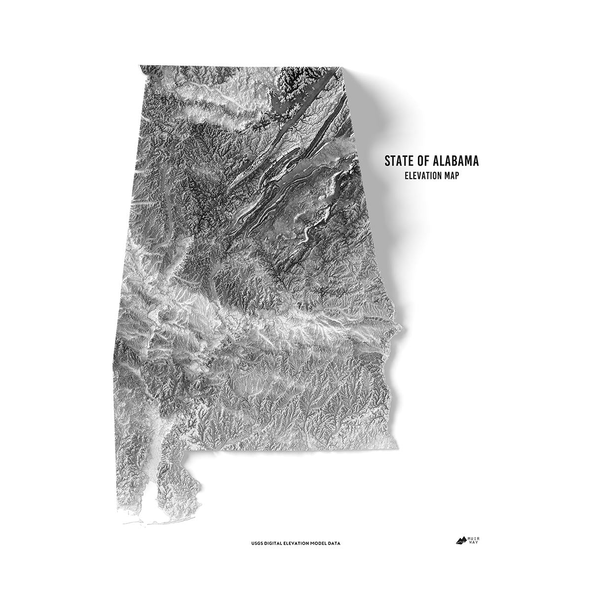
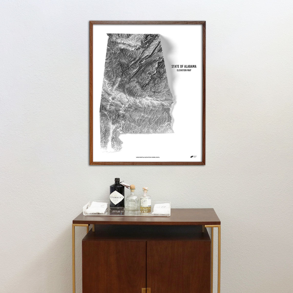
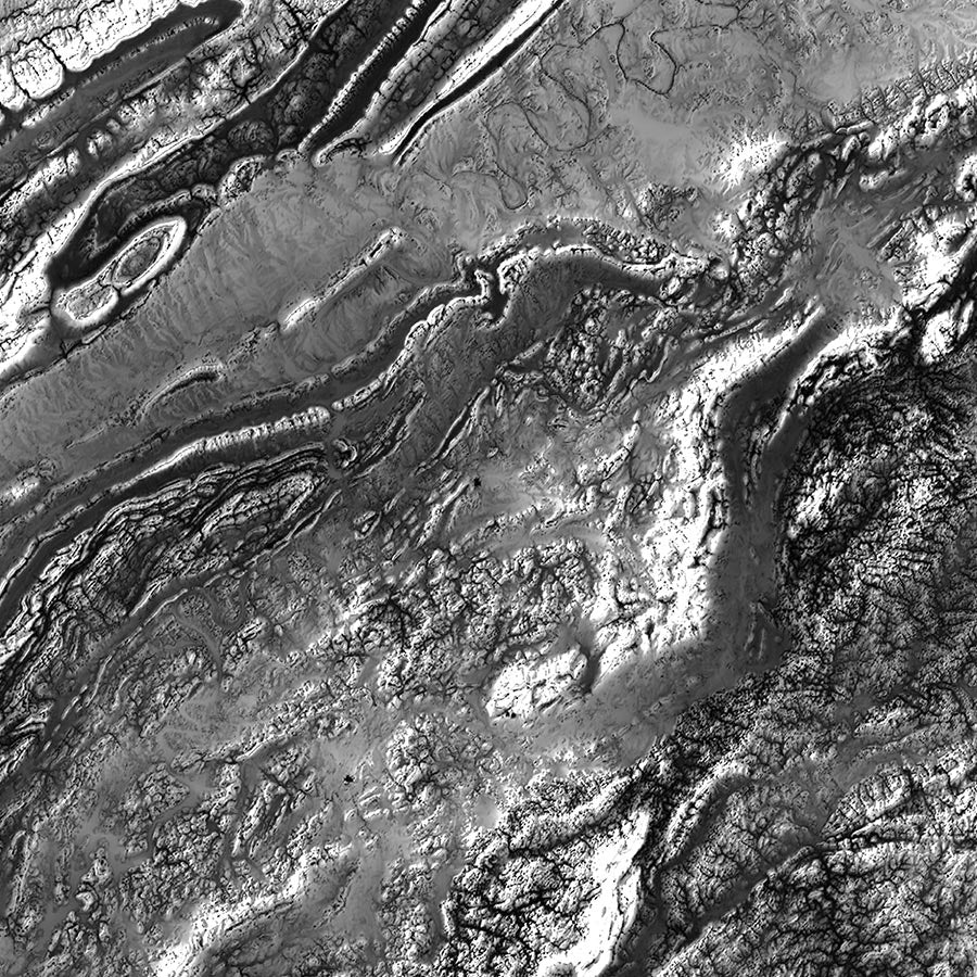
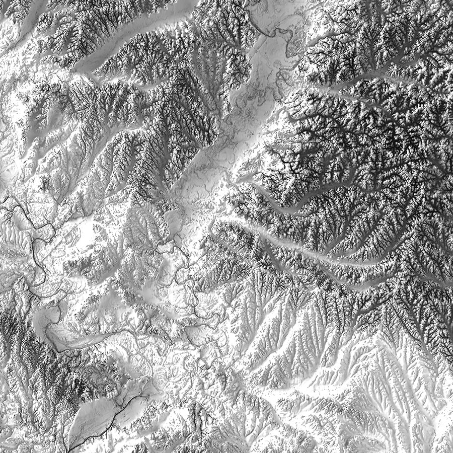
Alabama elevation maps - Our state of Alabama elevation map also uses Digital Elevation Data from the USGS to create a high-contrast 3-dimensional effect in stunning black and white, providing crisp detail and a refreshing view of Alabama’s native landscape.
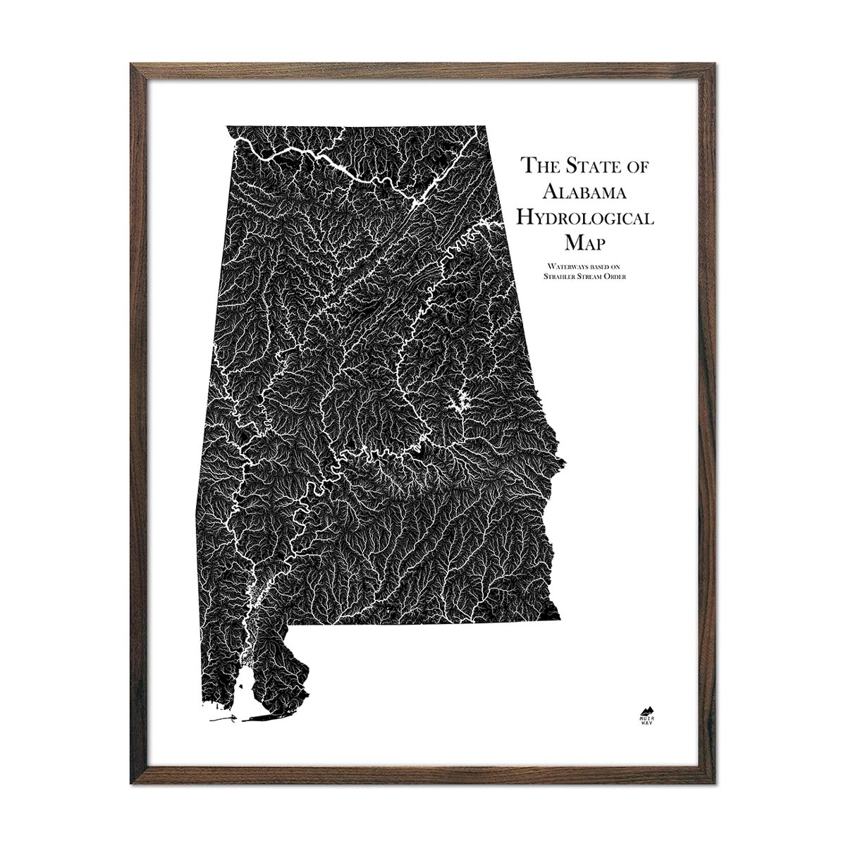
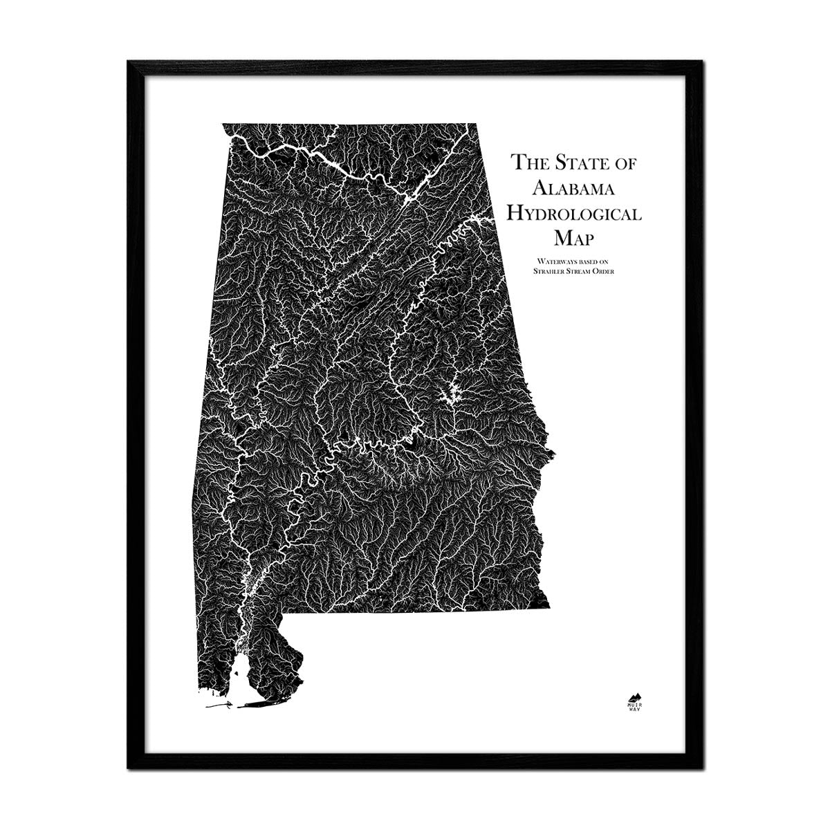
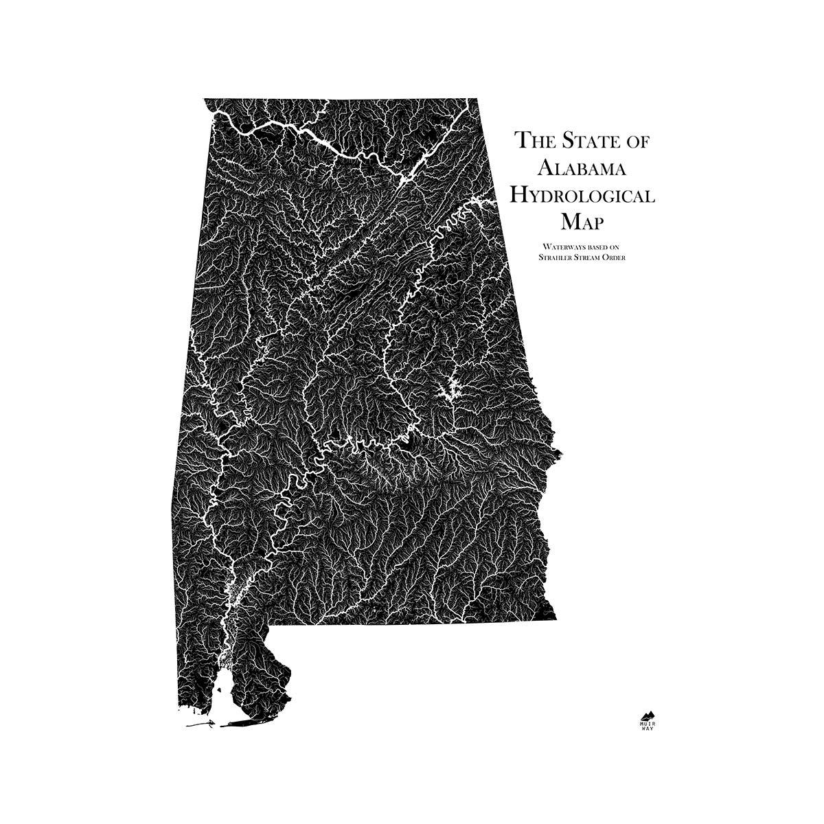
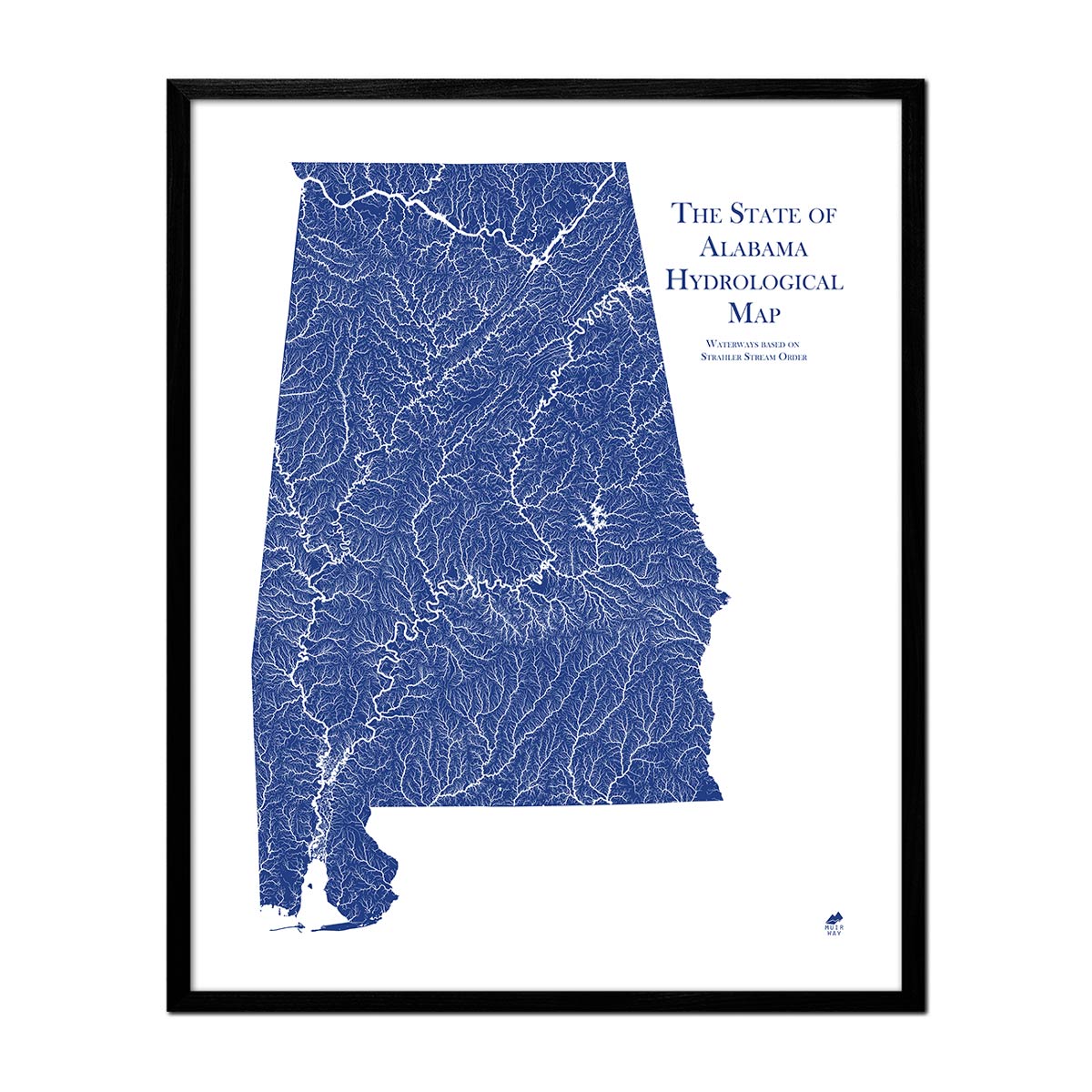
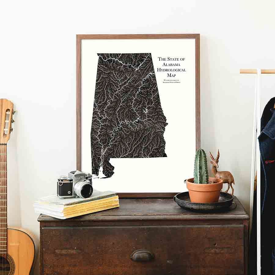
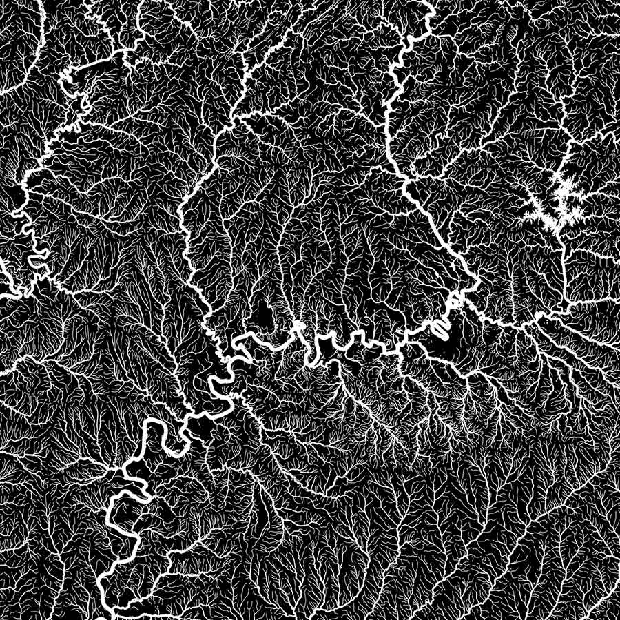
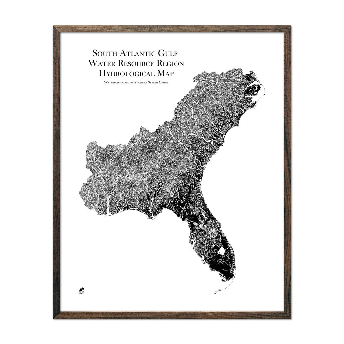
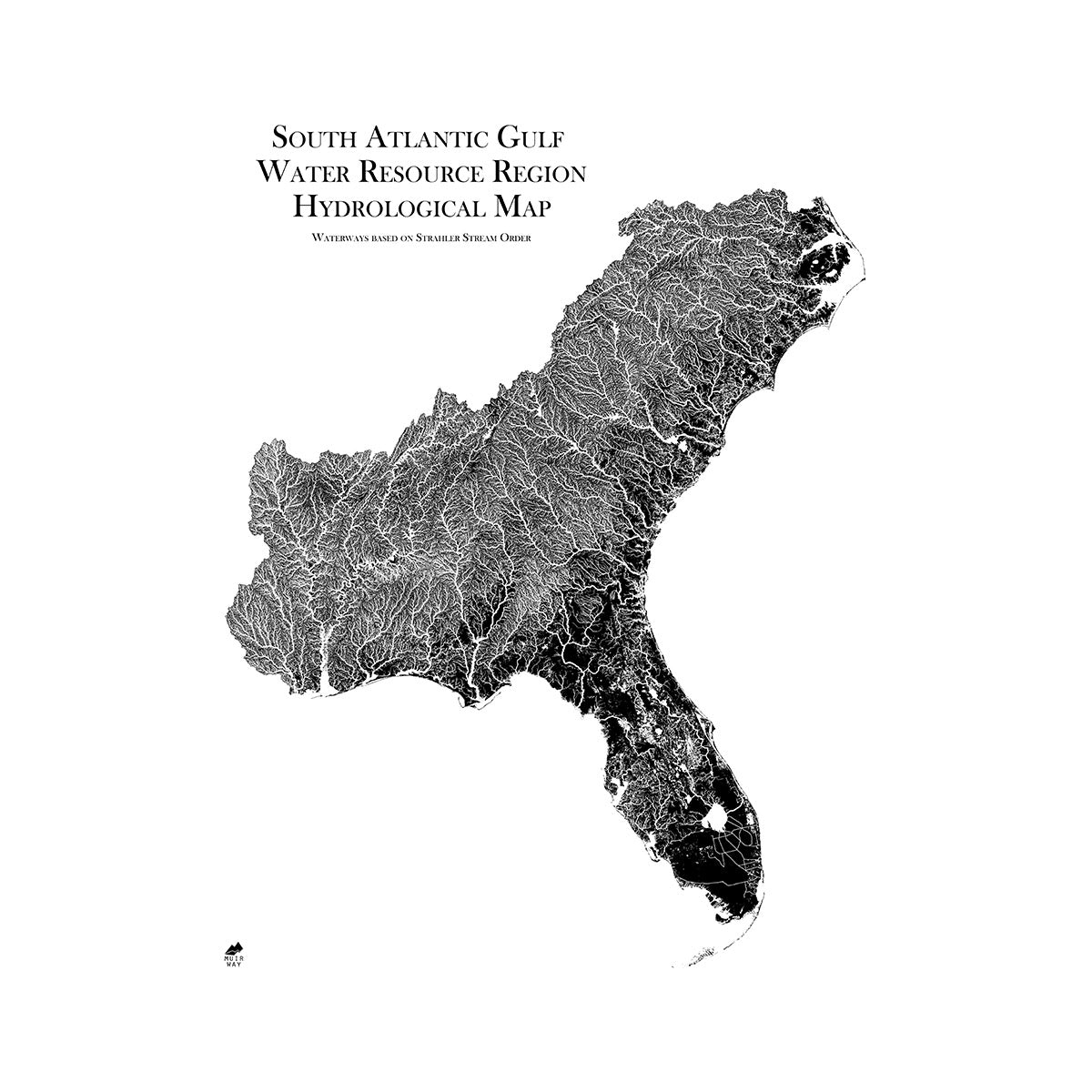
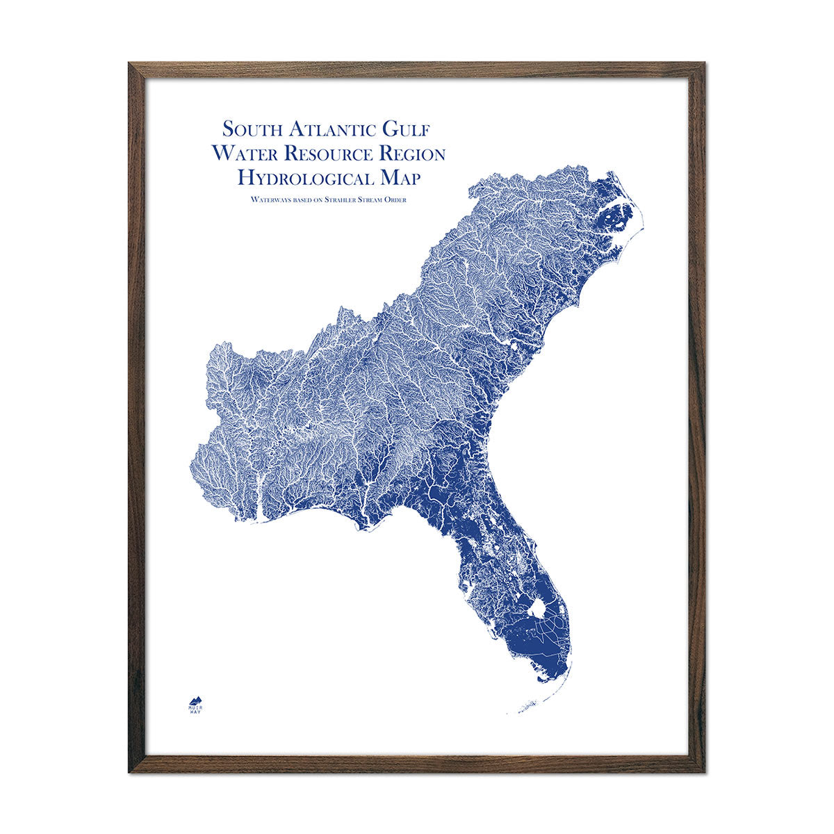
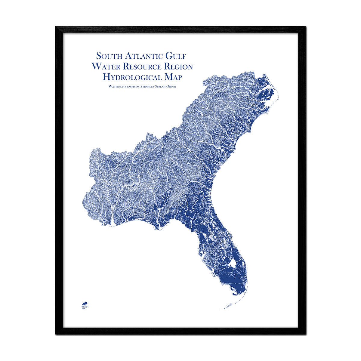
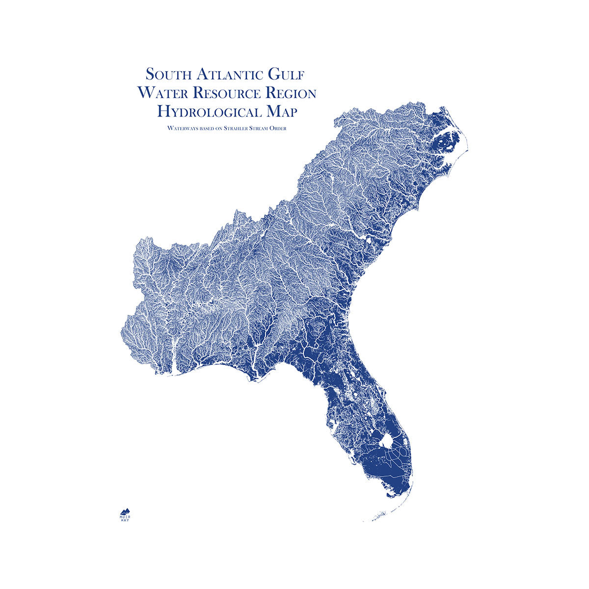
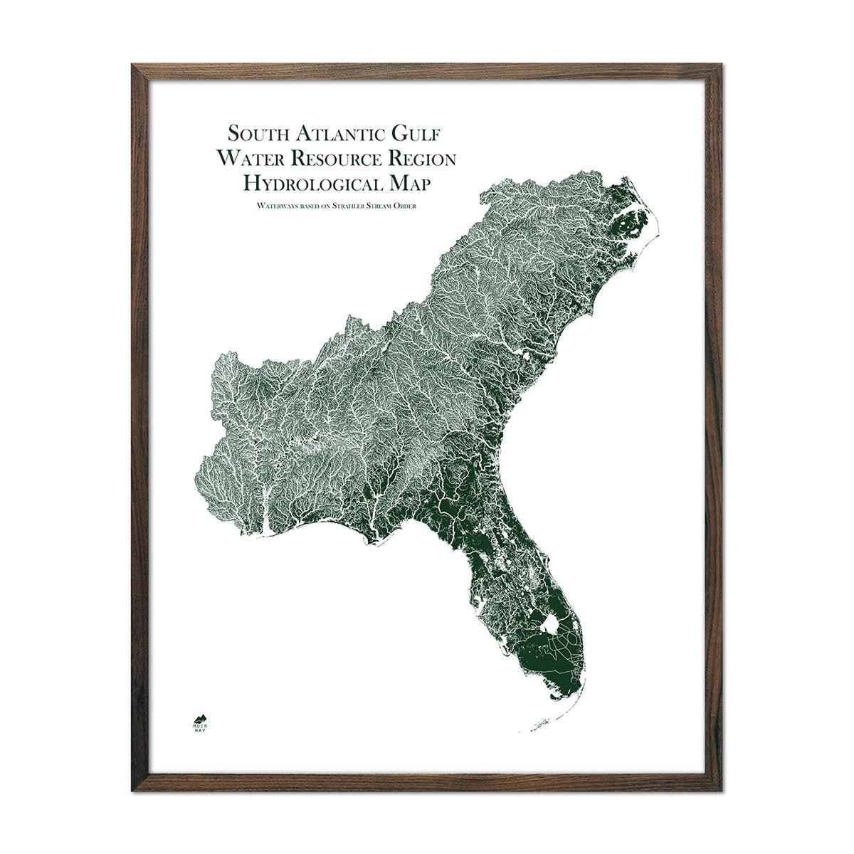
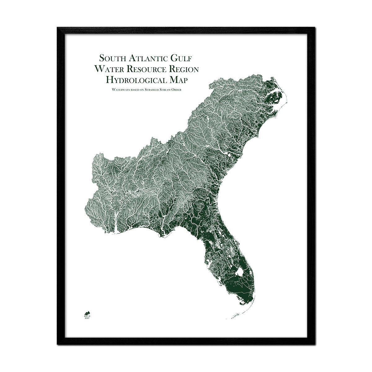
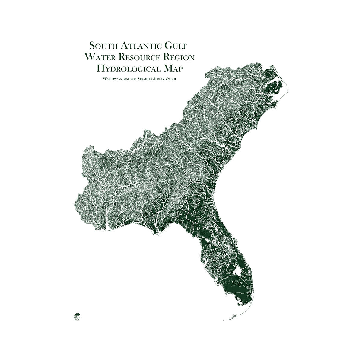
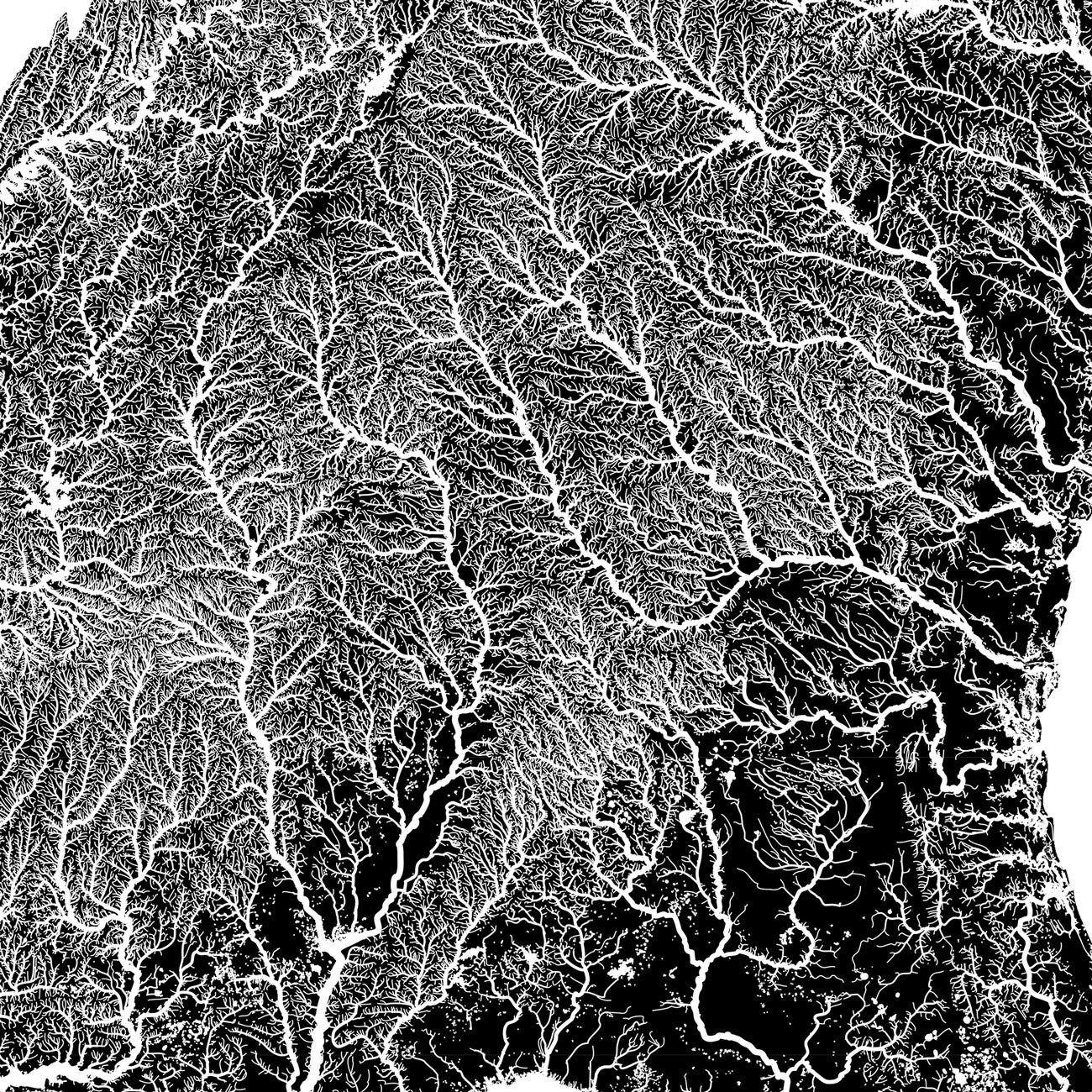
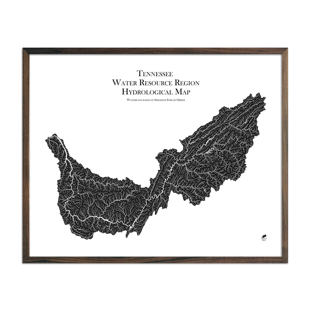
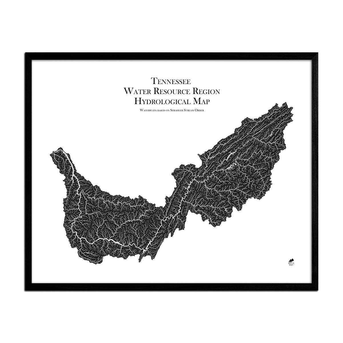
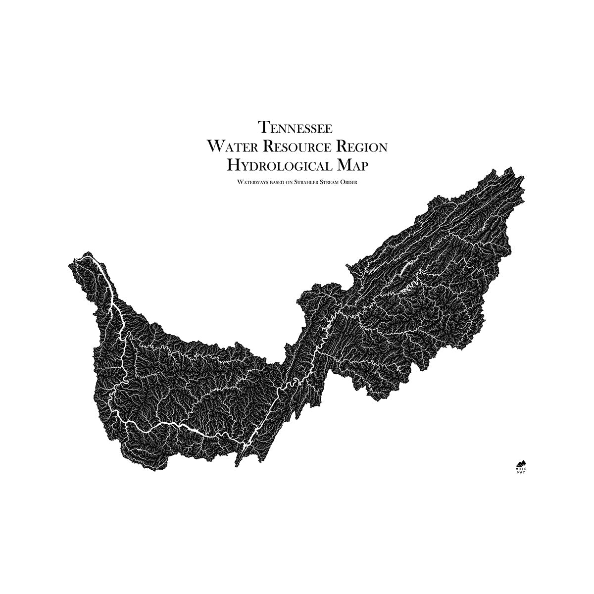
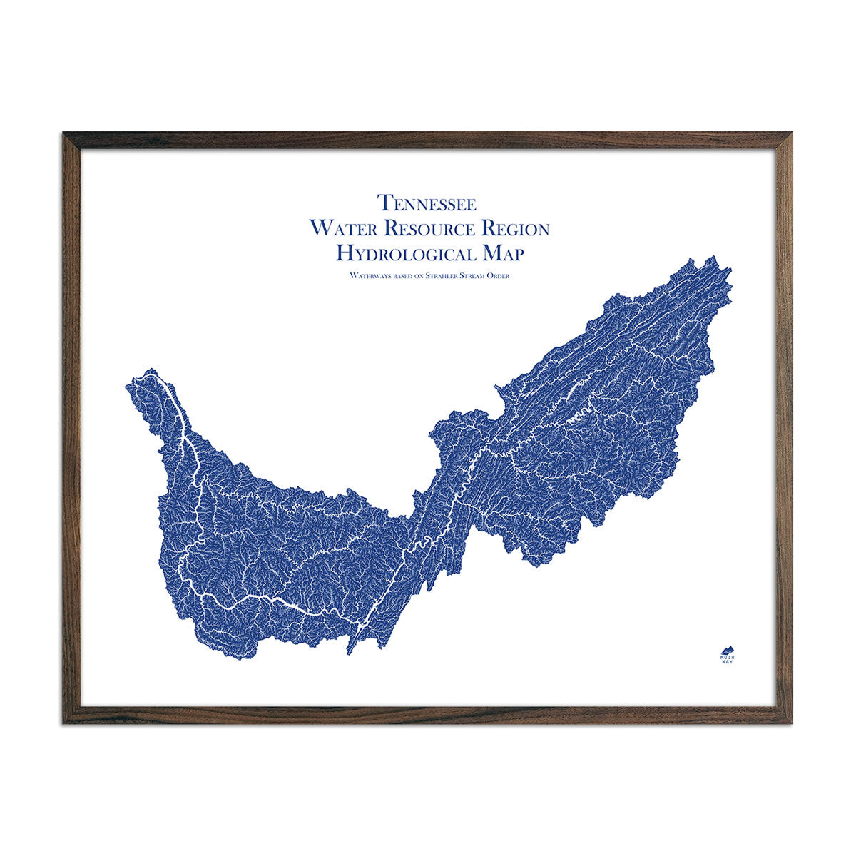
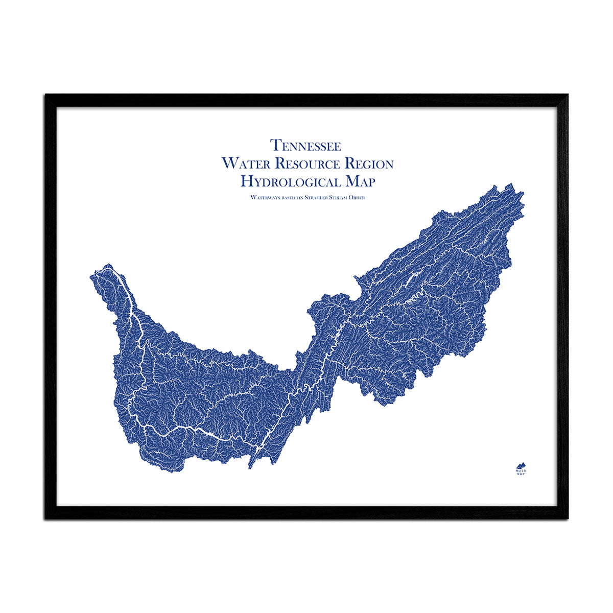
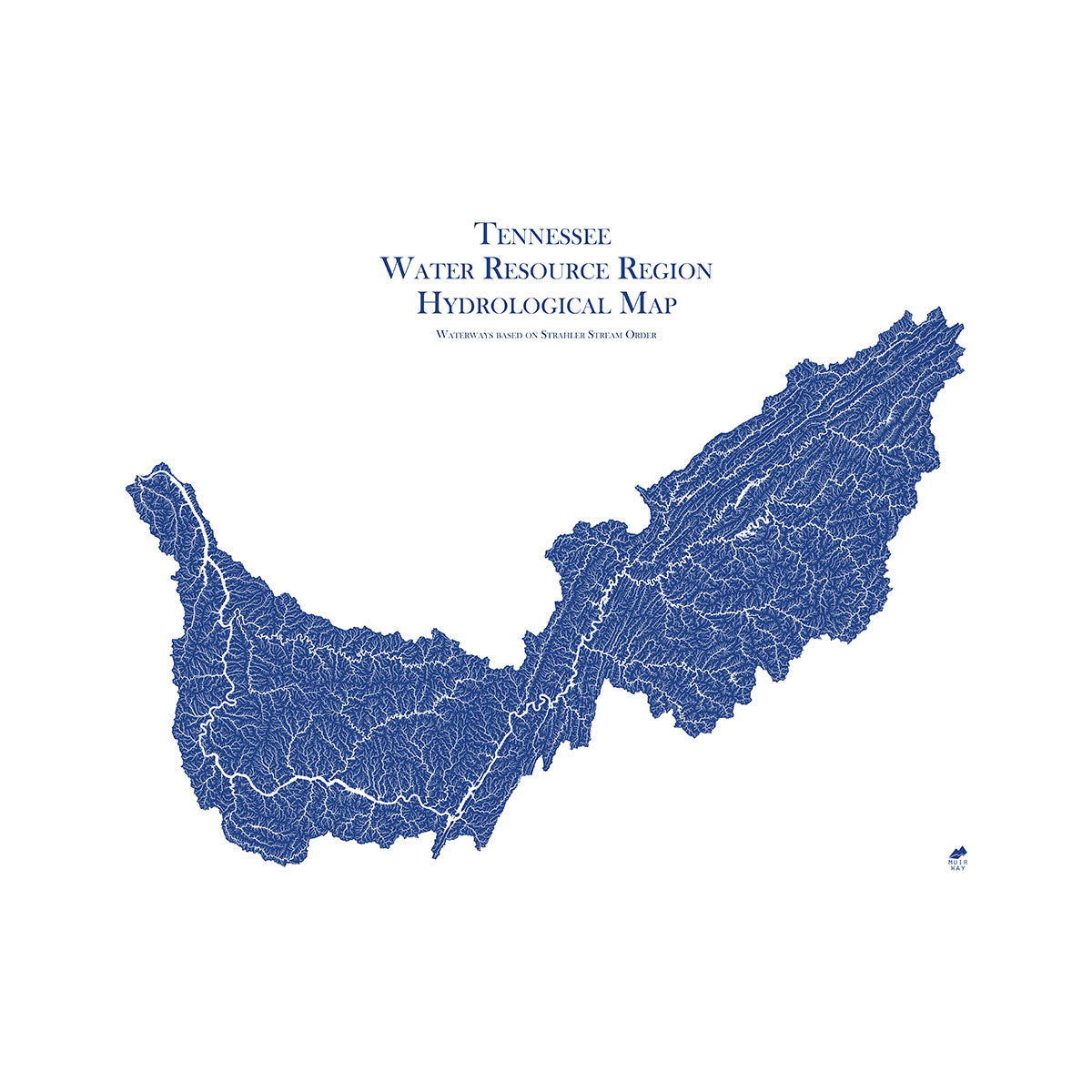
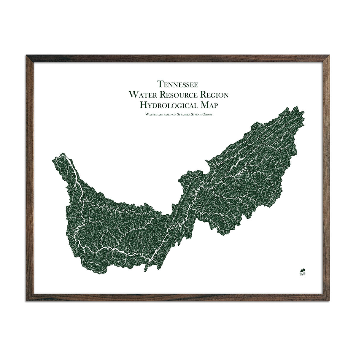
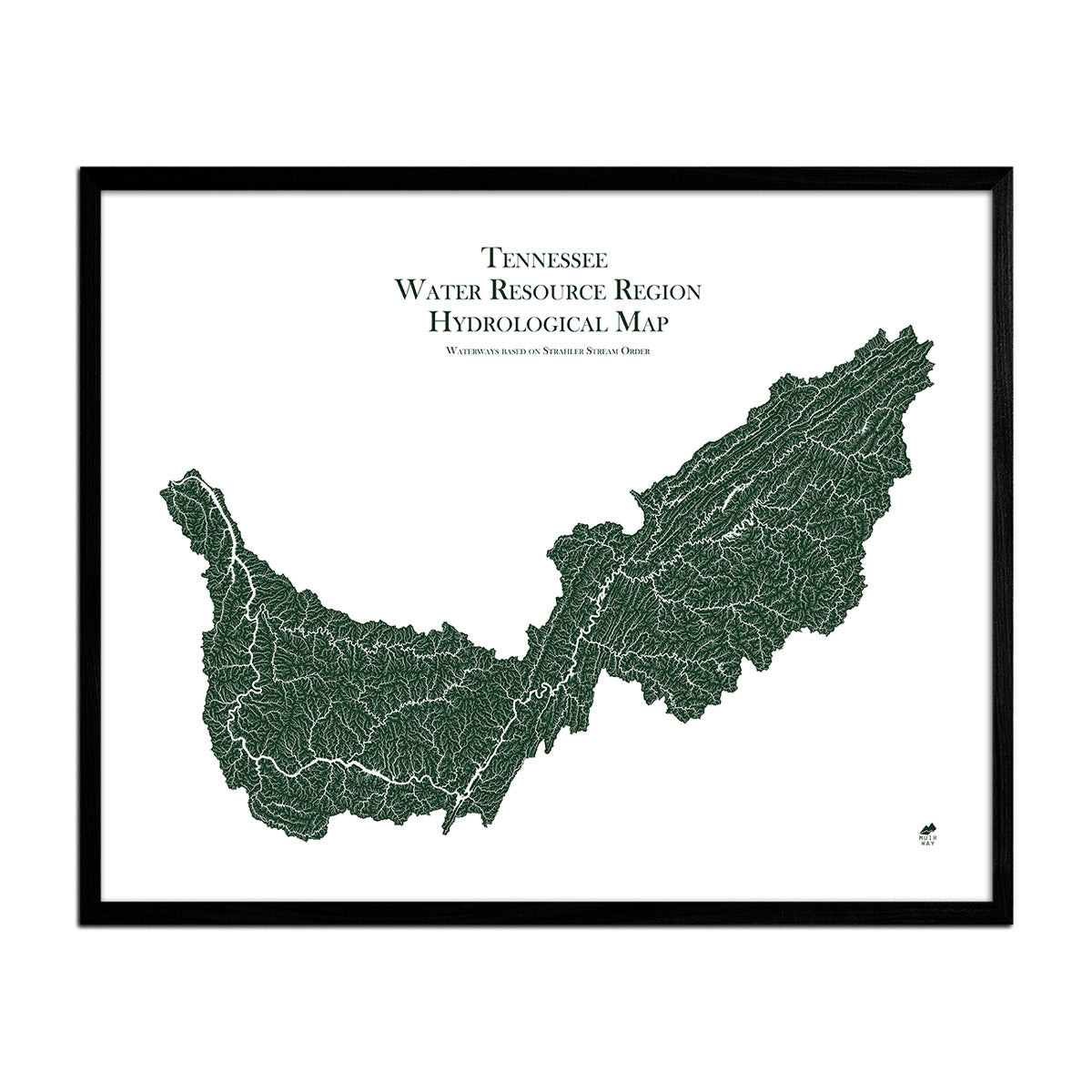
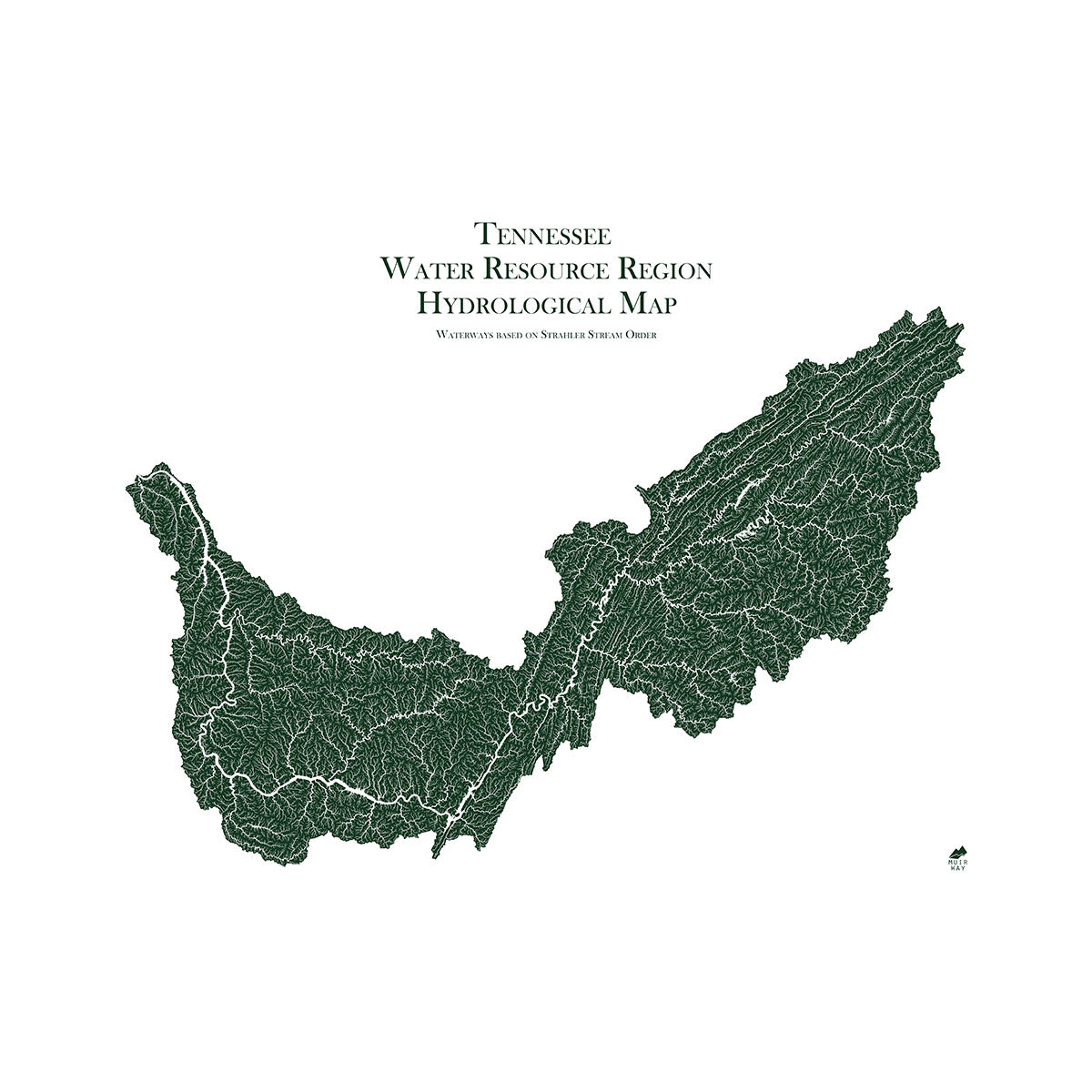
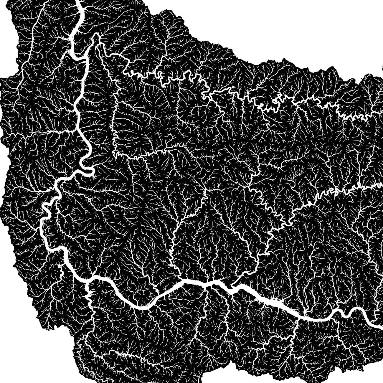
Alabama hydrological maps - Our hydrological maps are designed to look beautiful from across a room and to deliver meticulous detail up close, and are available in multiple colors. Whether following the interconnected trails of water on our Alabama state hydrology map or one of our regional hydrology maps that include Alabama, you’ll be able to view every single river and intermittent stream, as well as all bodies of water greater than 0.2 mi in diameter. For an extra aesthetic touch, we apply a method called the Strahler Stream Order to show the hierarchy of streams as they flow from their source, with rivers shown thicker as they acquire the flow of tributaries. Trace the origins and outflow of your favorite waterways and appreciate the beauty of their interconnectedness with our hydrology maps of Alabama.
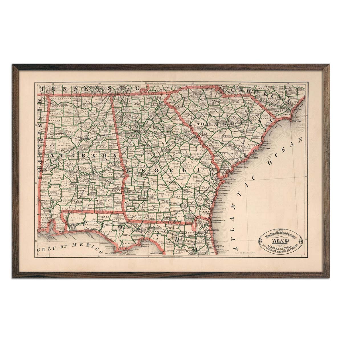
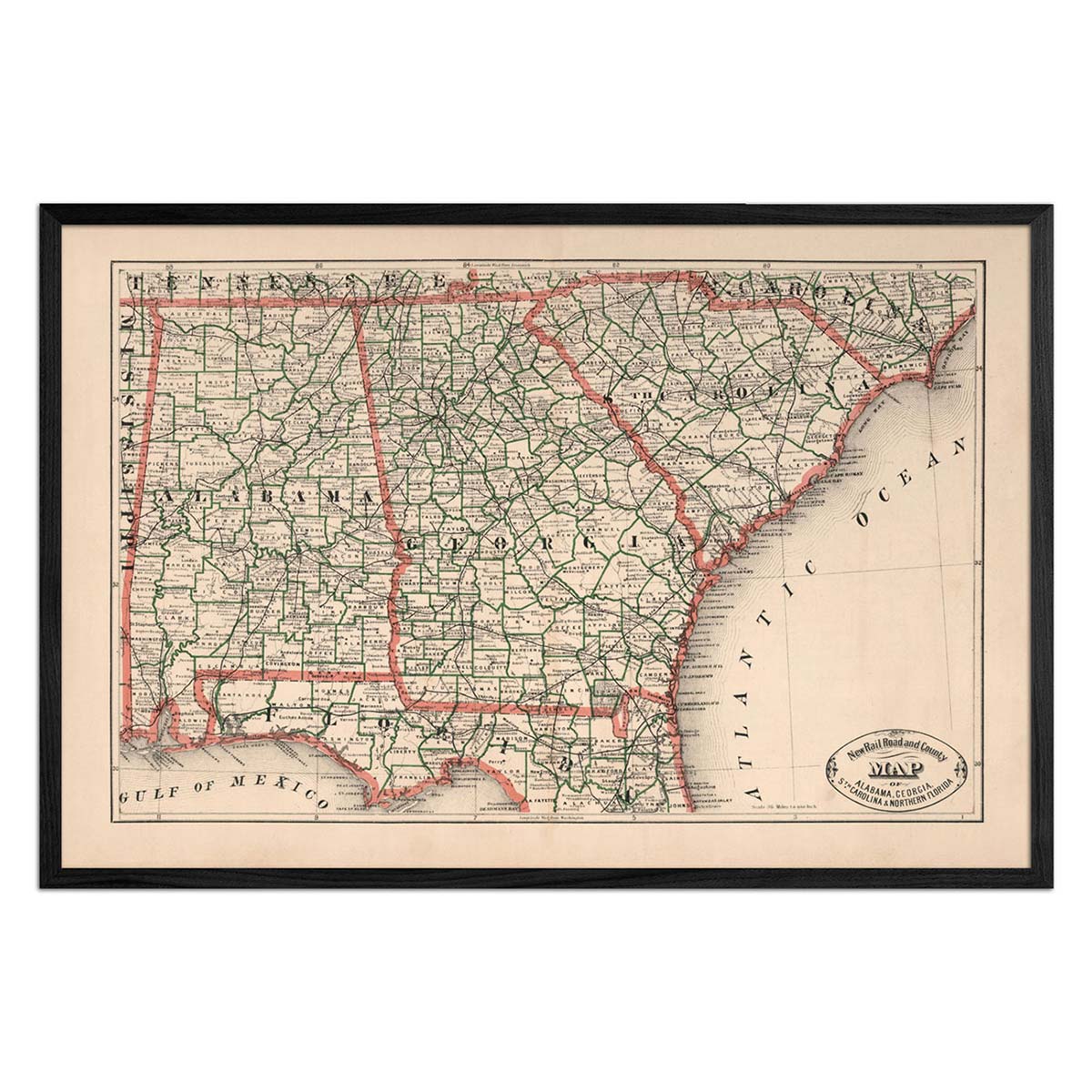
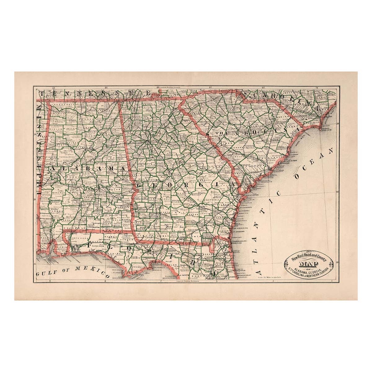
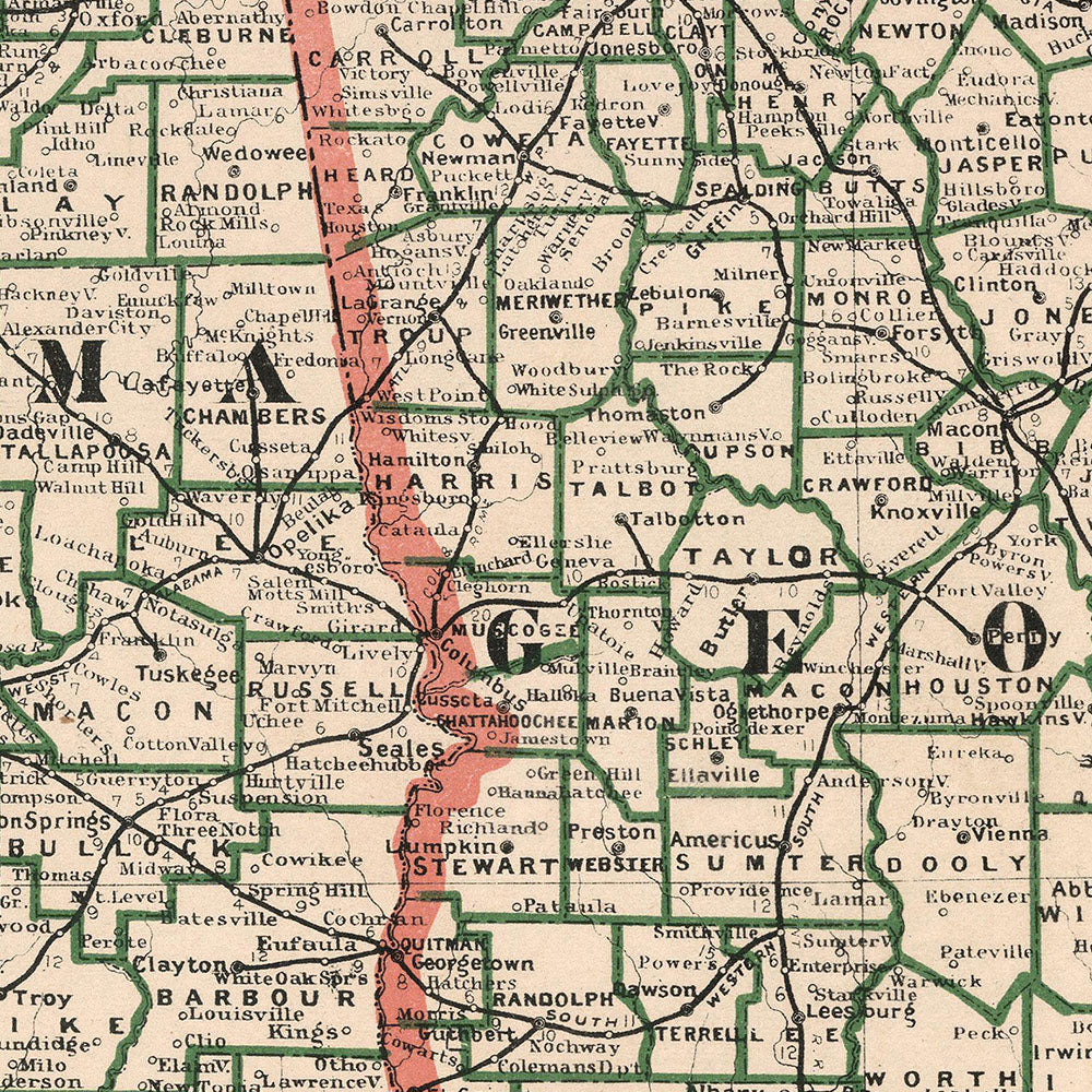
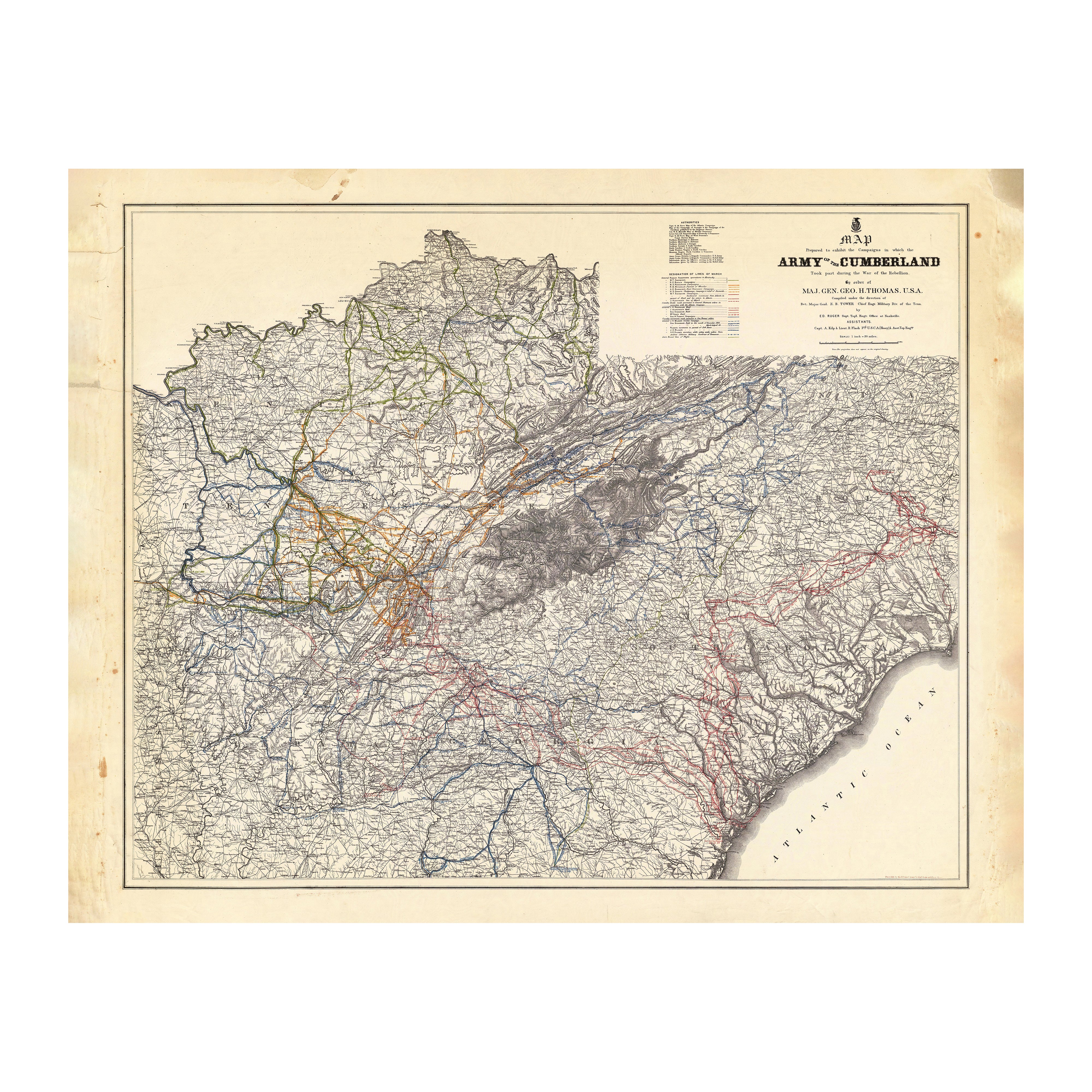
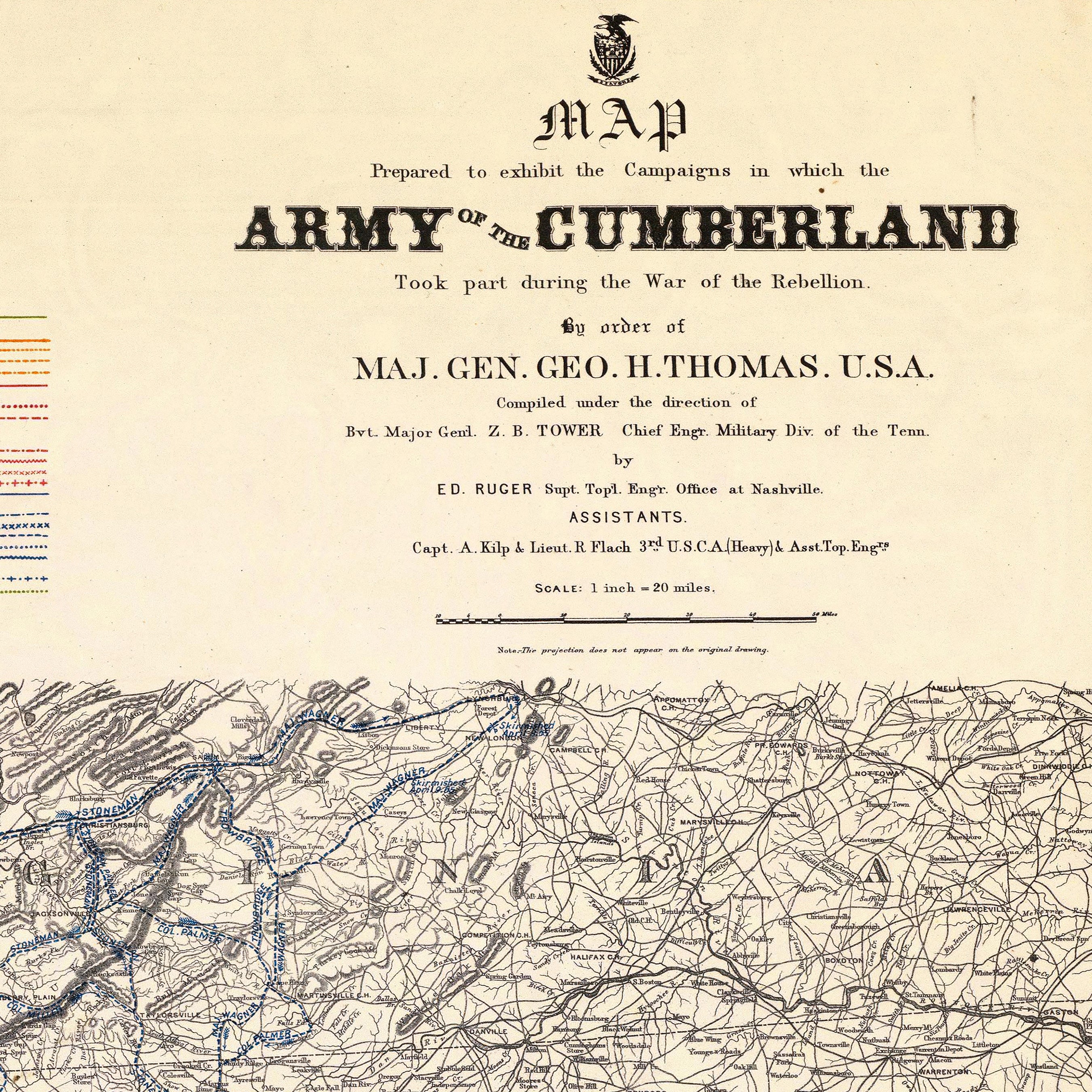
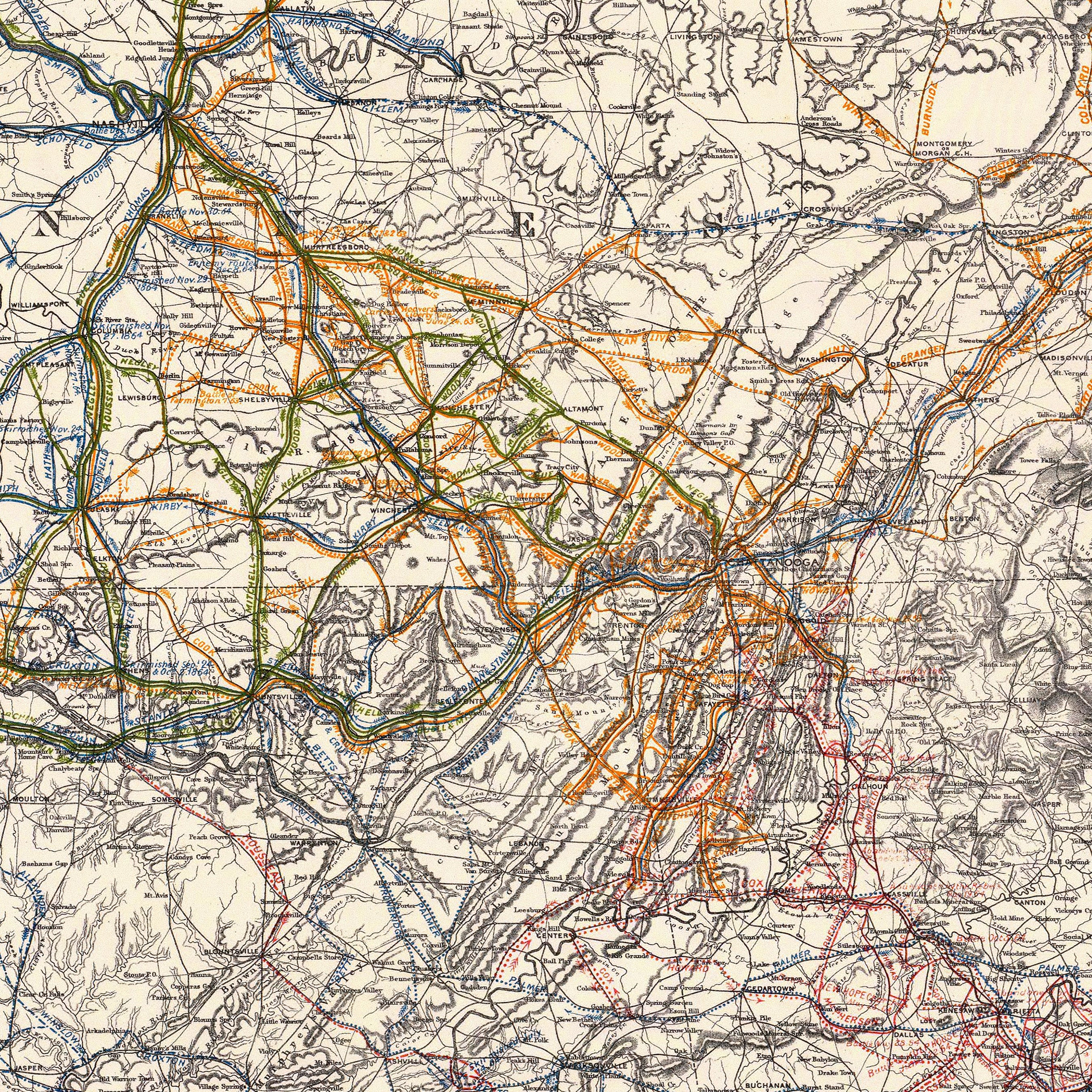
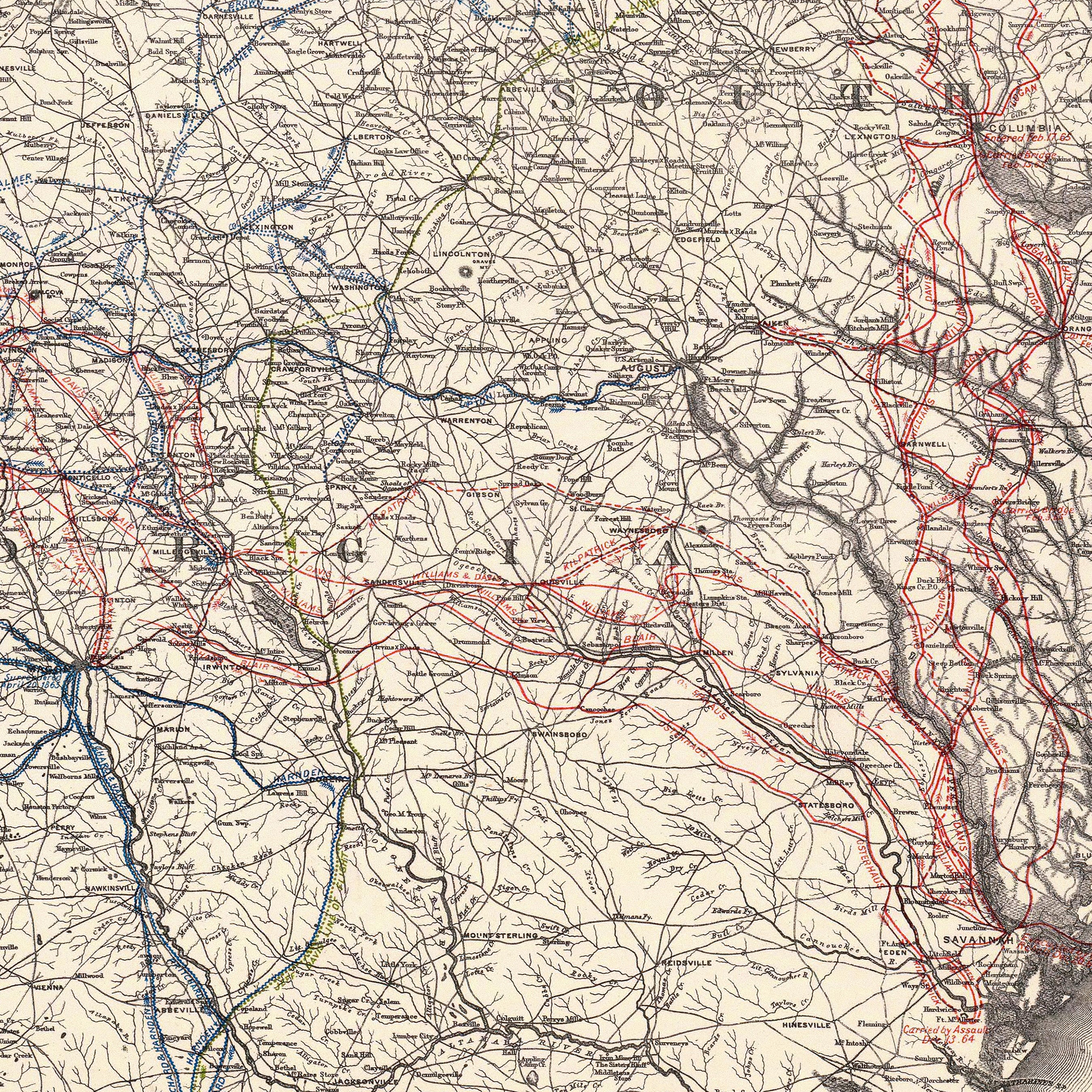
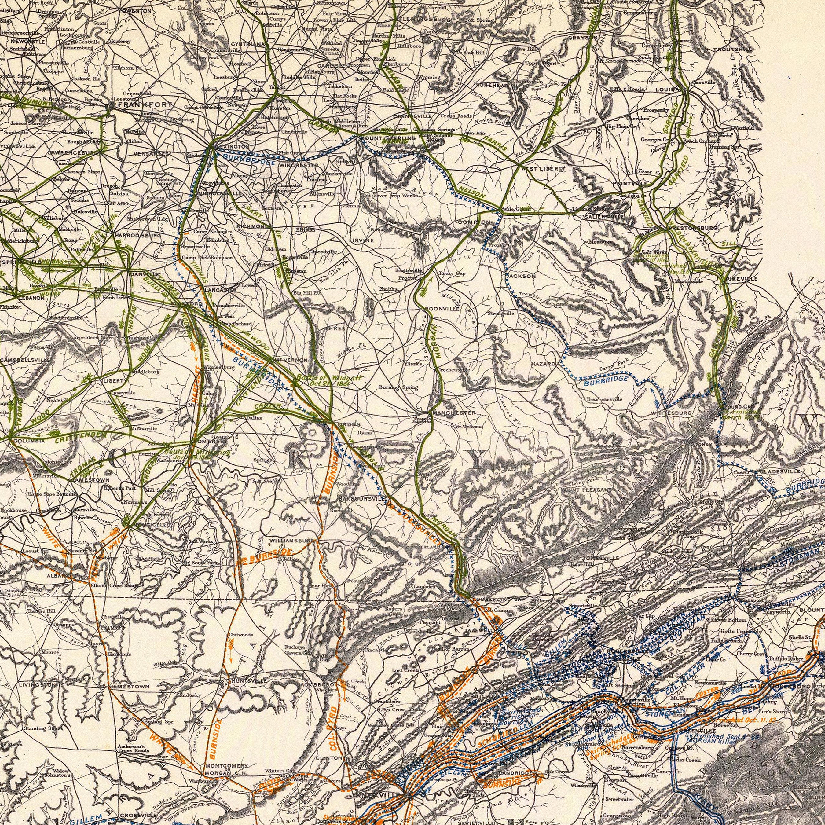
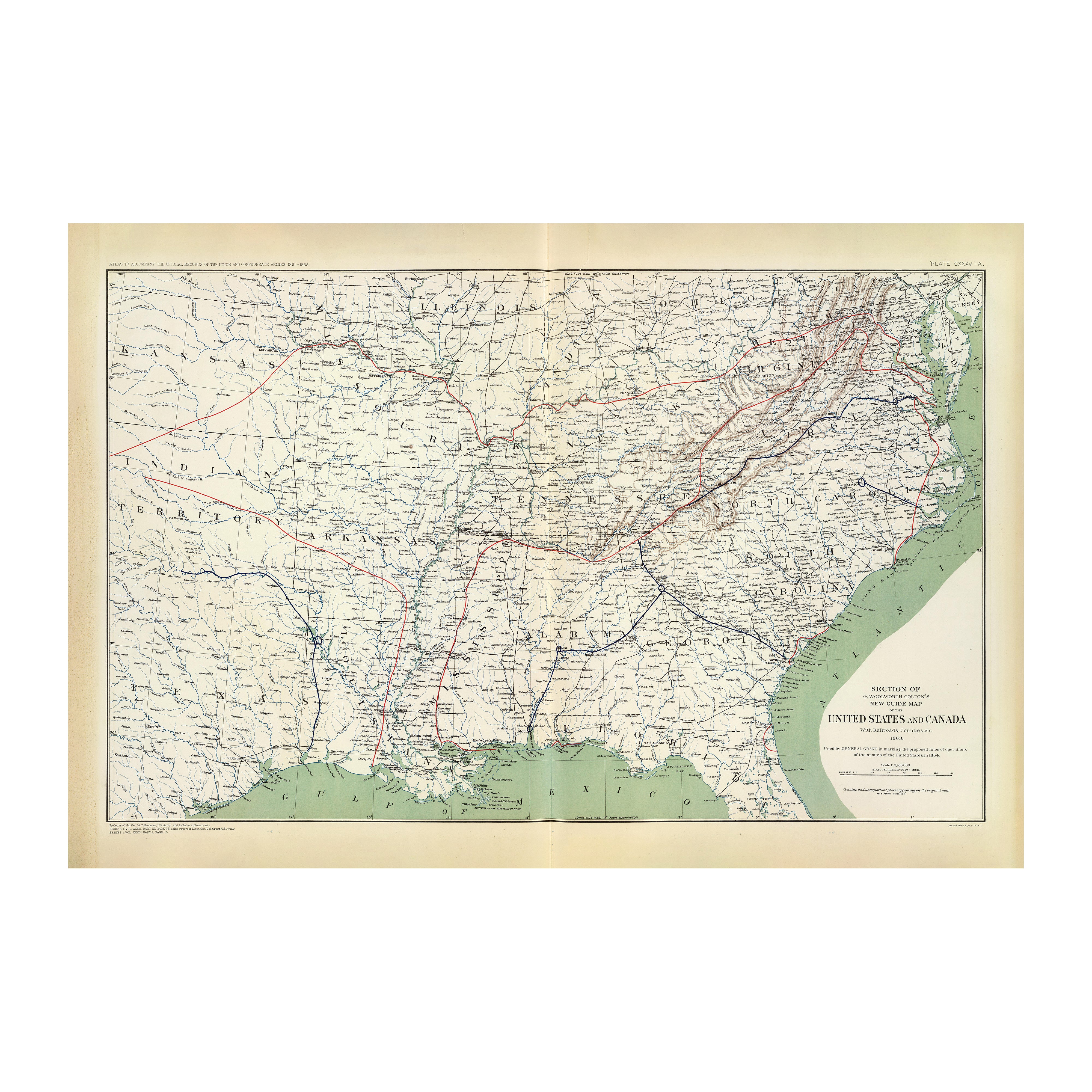
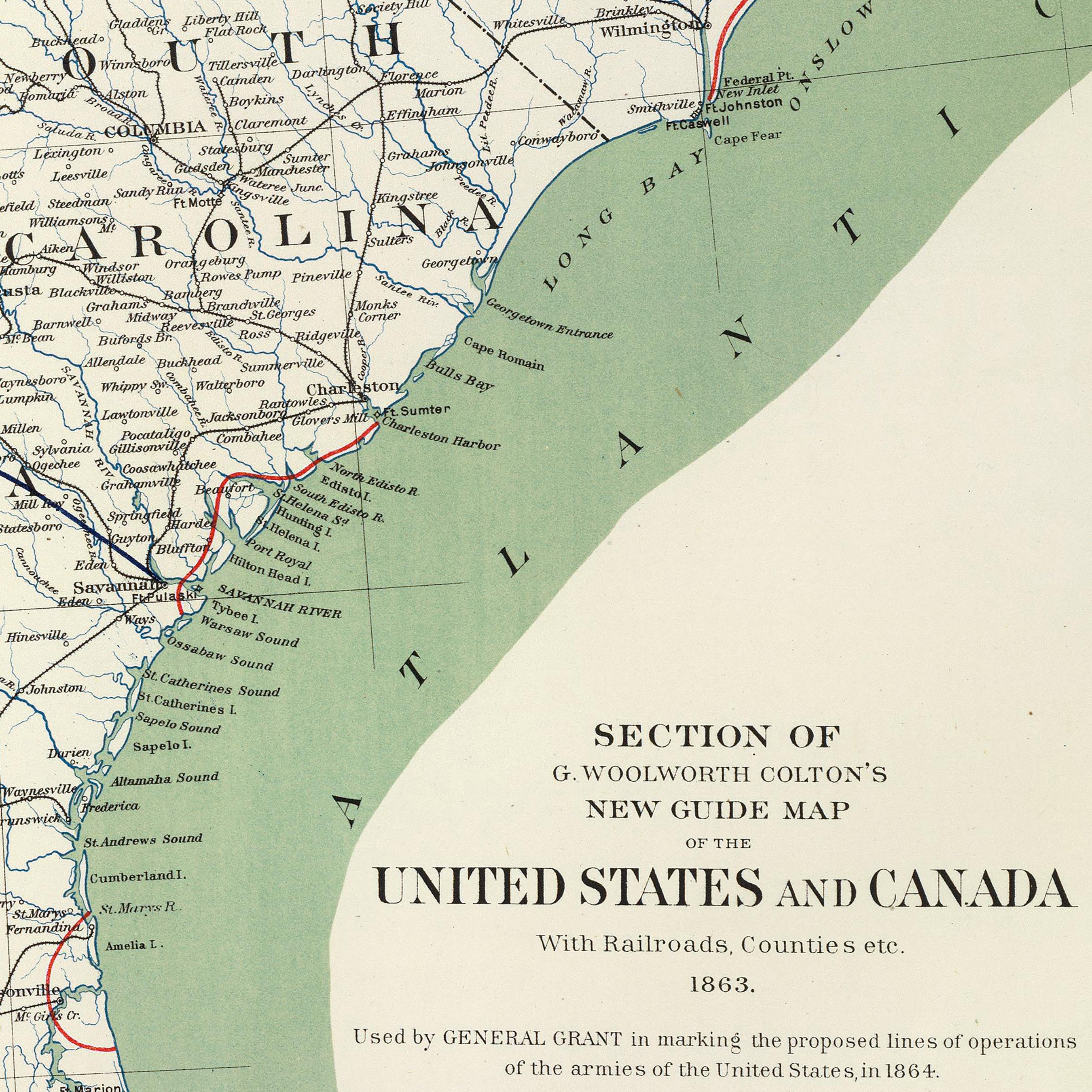
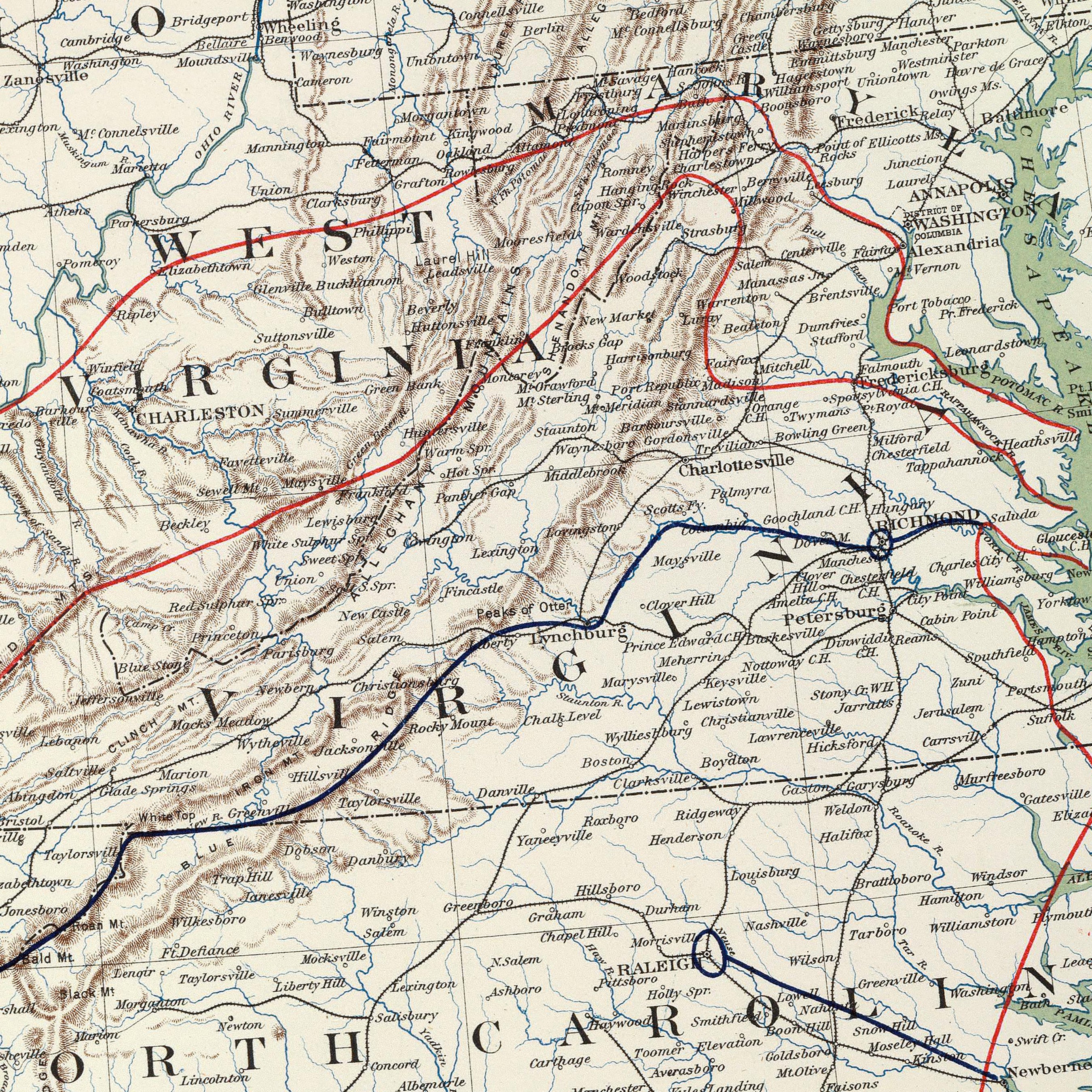
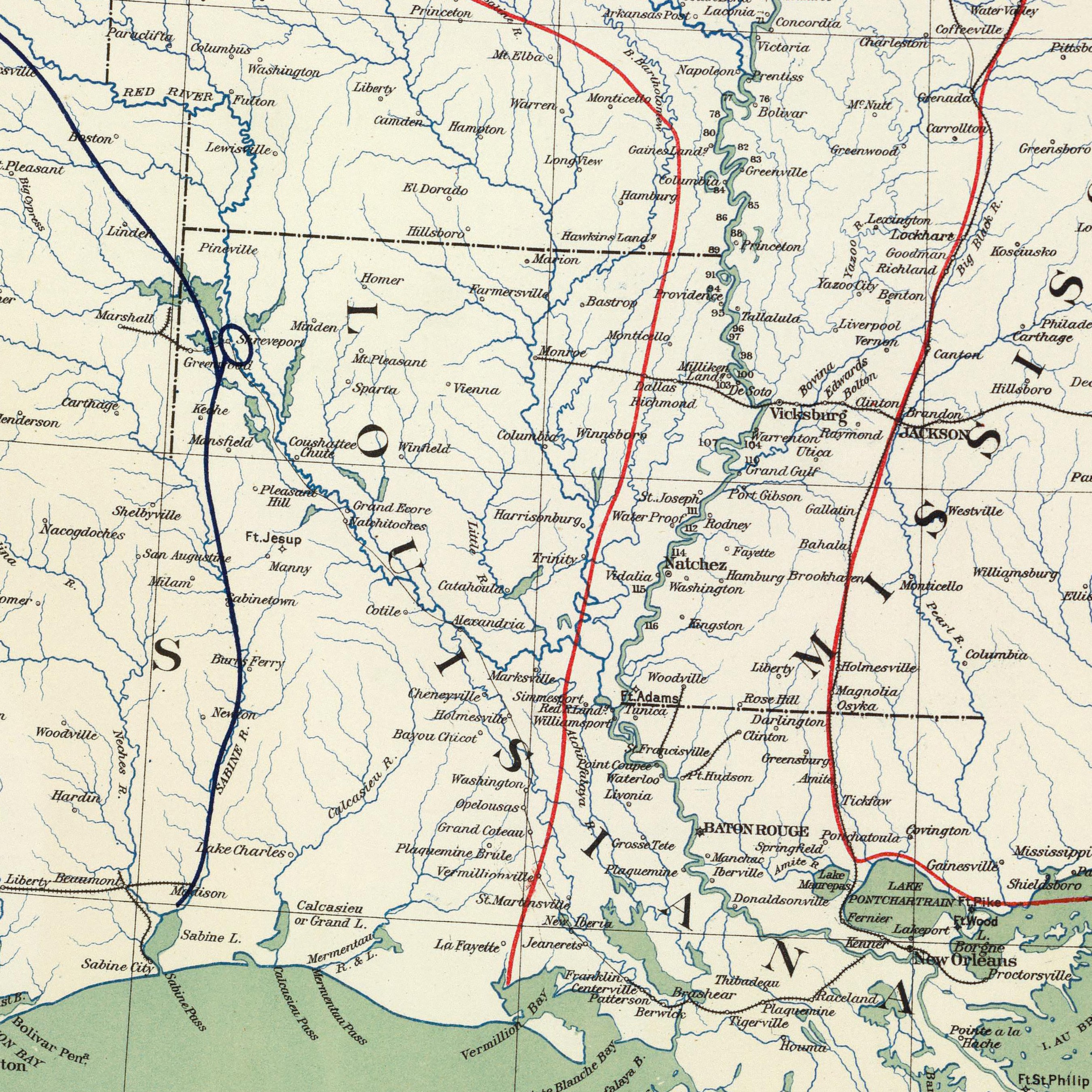
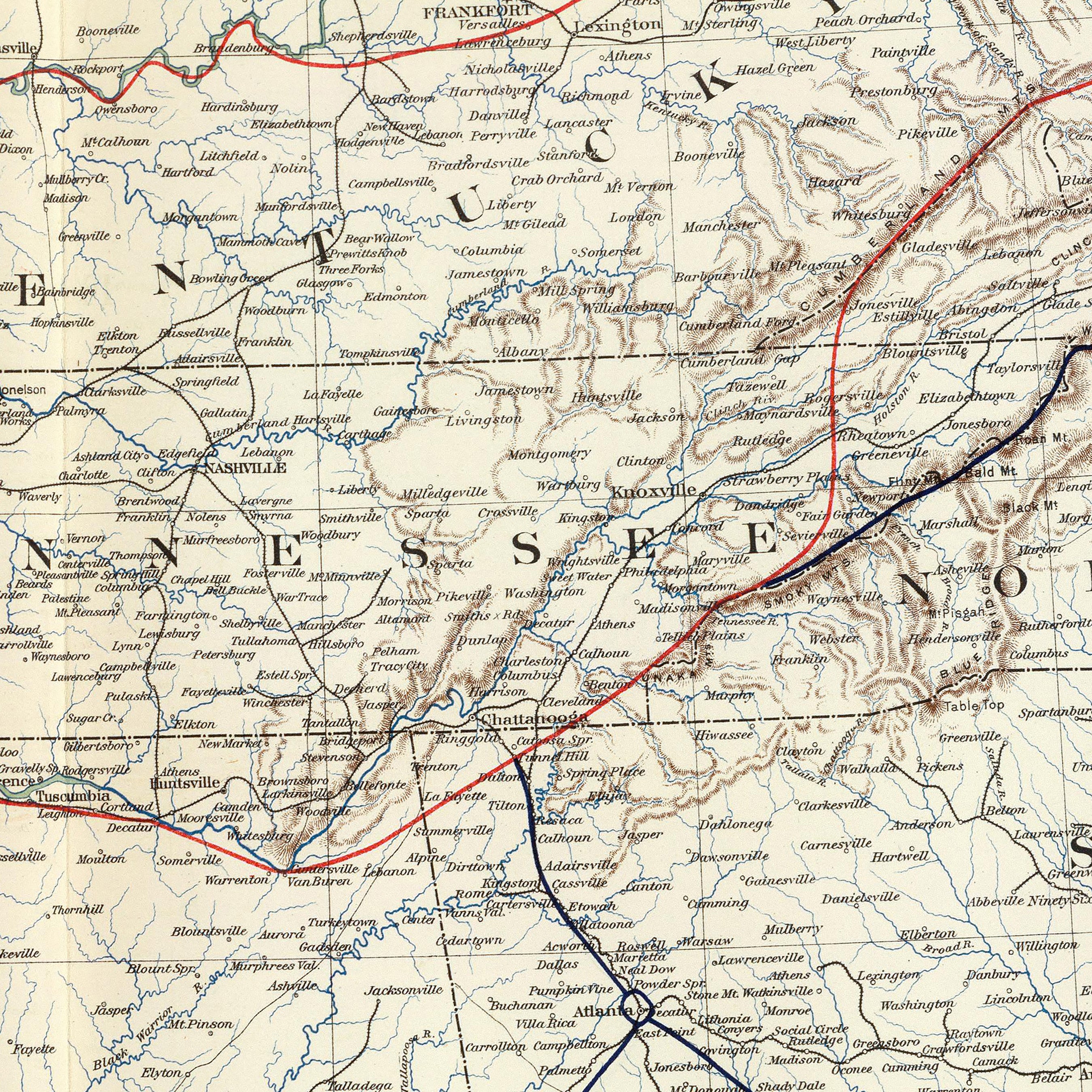
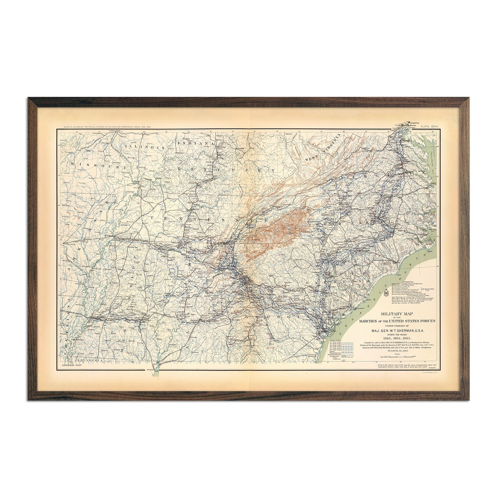
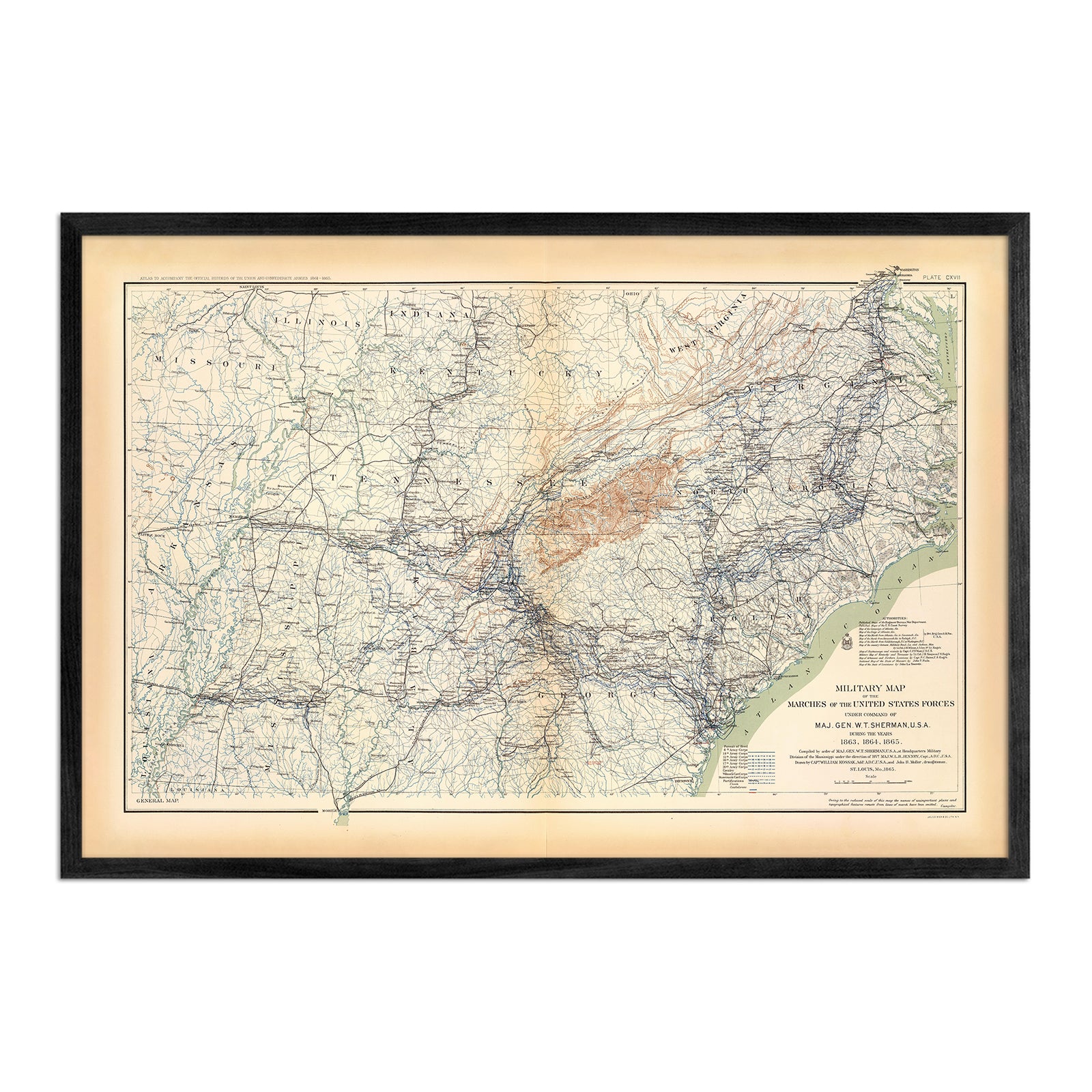
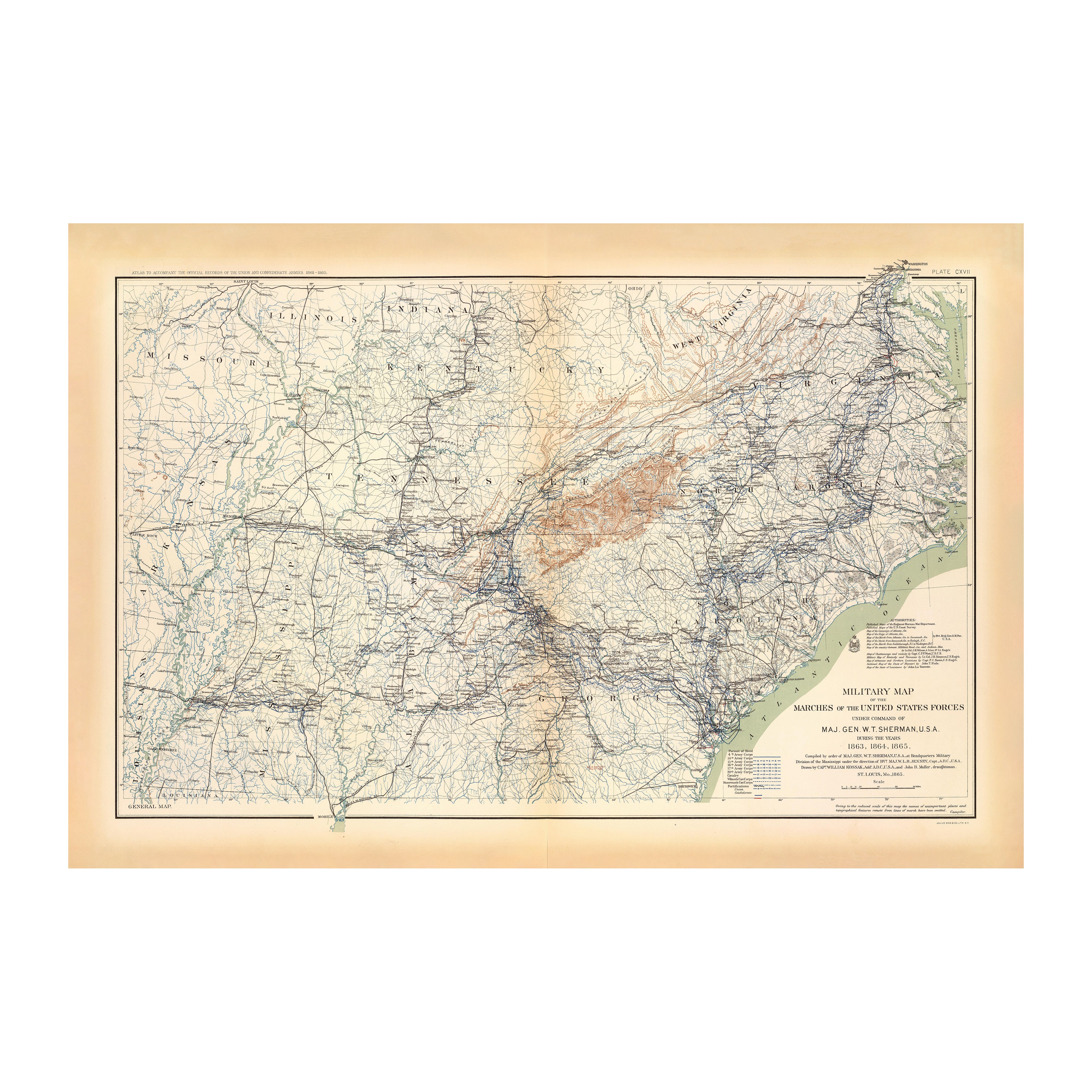
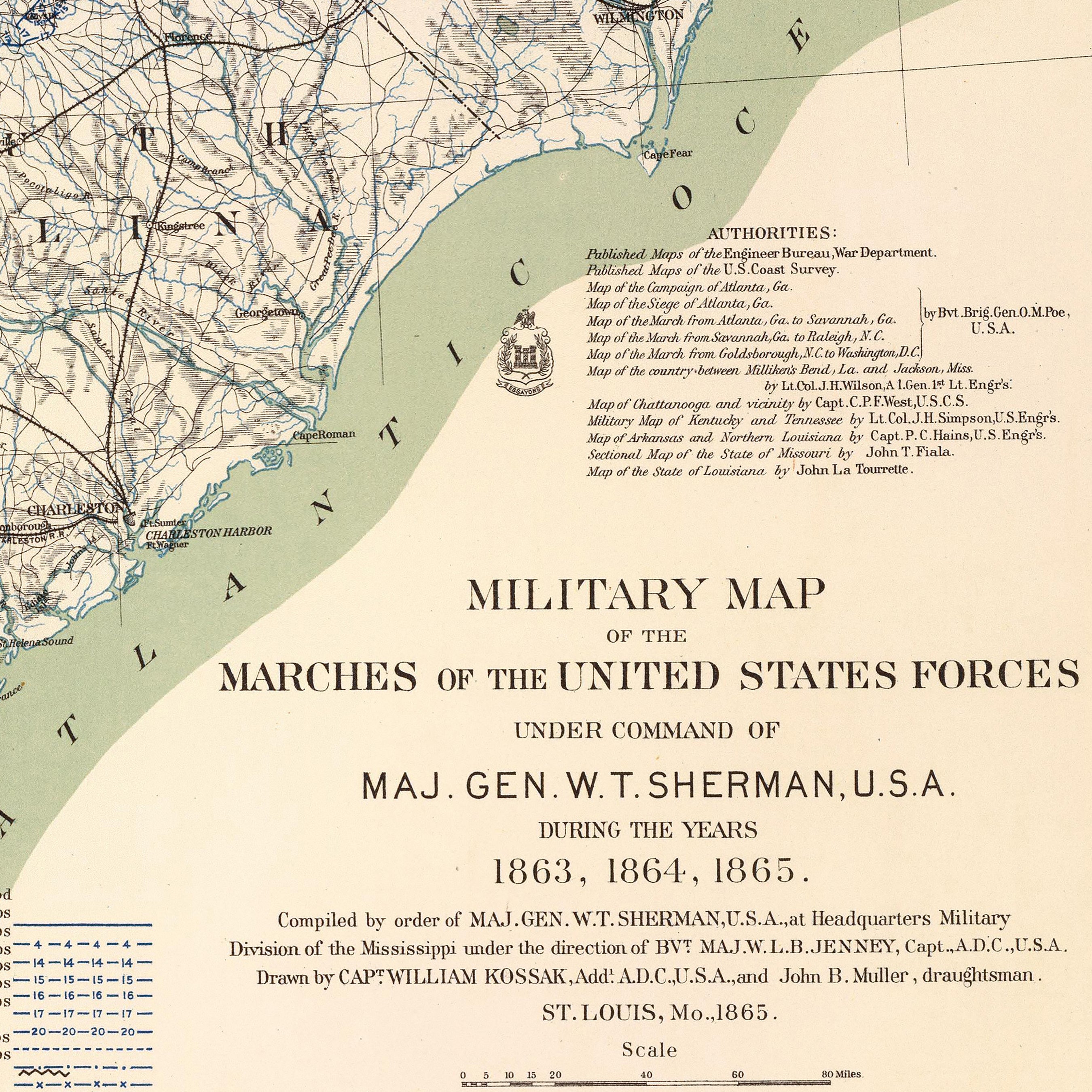
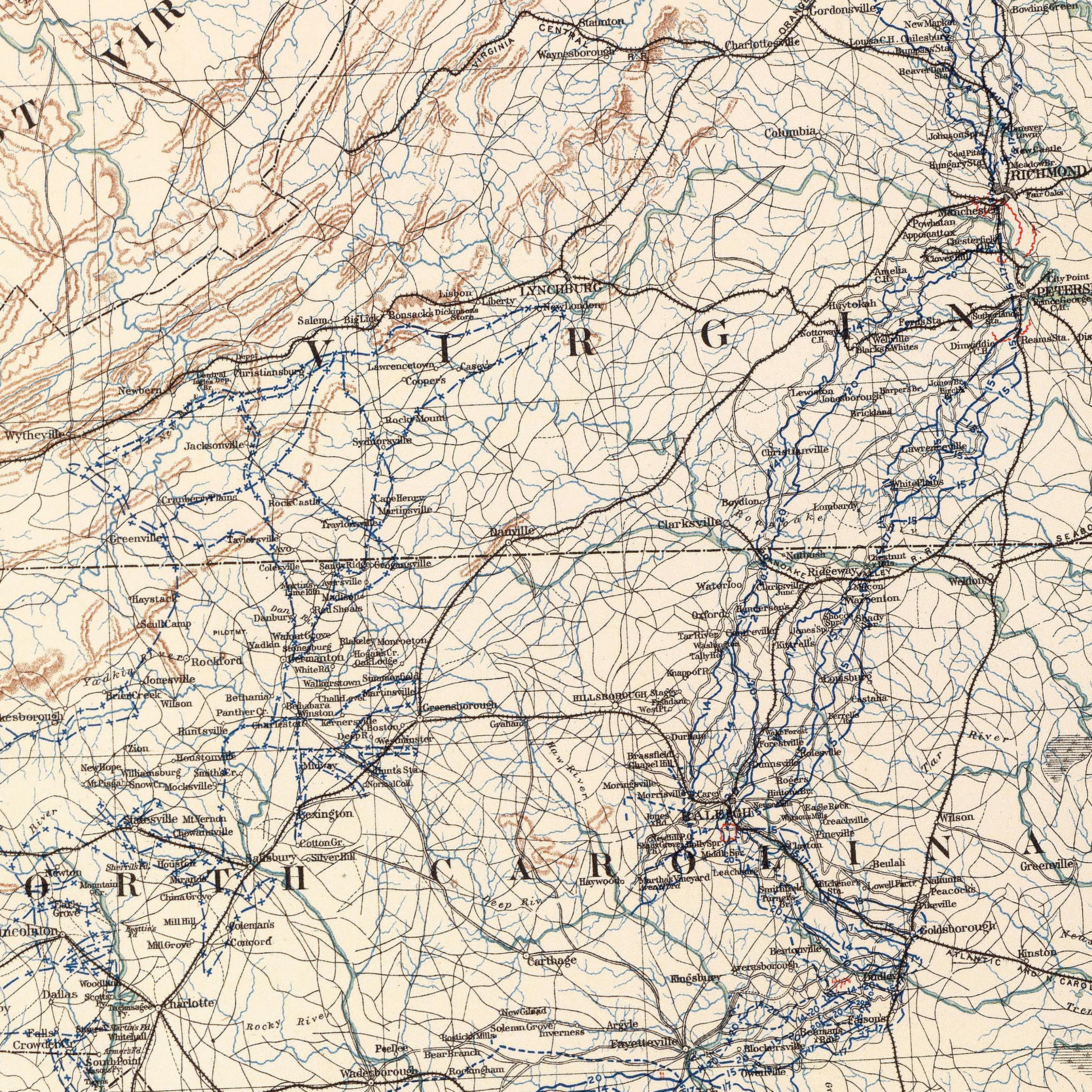
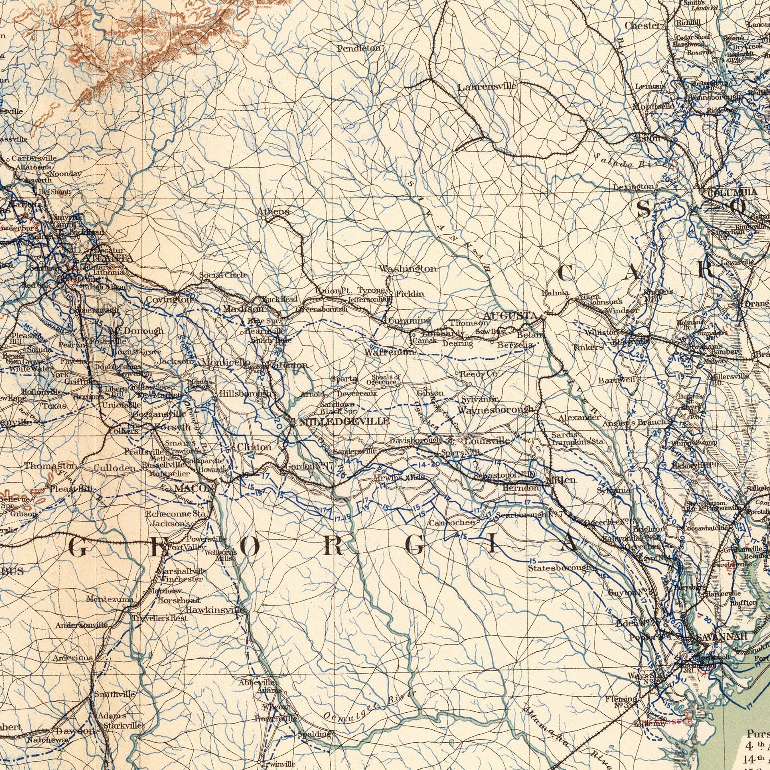
Regional vintage maps featuring Alabama - If you like vintage maps, you’ll love our regional 1883 map of Alabama, Georgia, South Carolina and Northern Florida. Unlike our relief map series, our historical maps don’t feature elevation, but what they do feature is a record of history beautifully printed and ready to display. Our vintage maps are reproduction prints, carefully restored to maintain their vintage charm without the wear & tear, and come custom printed using archival materials to preserve a snapshot of history for years to come.
What are some prominent features on the map of Alabama?
Our elevation and relief maps of Alabama show Alabama’s striking mountain ranges in full detail. View Talladega Mountain in the lower Appalachian Range as it extends northeastward into Cleburne County, culminating at Cheaha Mountain, Alabama’s highest point nestled in the Talladega National Forest.
With over 1,500 inland waterways, Alabama has among the most of any state in the US, and on our hydrology maps, you’ll see every twist and turn of these interconnected river systems. You’ll see the prominent bend of the Tennessee River swooping across northern Alabama, and can follow the Alabama River down to where it meets the Mobile River, emptying into the Gulf of Mexico.
On our Alabama 1915 Relief Map, see how elevation meets modern civilization with a mix of mountainous terrain and clearly marked state counties and cities for a vintage view of the cotton state.
No matter which Alabama state map you choose, you’ll enjoy an up-close look at a state known for its beautiful landscapes, delicious food, and Southern culture.
What are the regions in Alabama?
Alabama has six separate ecoregions (geographical regions with similar biotic and abiotic features):
- Southern Coastal Plain - comprised of various wetlands including salt marshes, lagoons and bayous, this is Alabama’s smallest ecoregion and sits along the Gulf Coast.
- Southeastern Plains - mostly flat land with some areas of rolling hills, the Southeastern Plains ecoregion features native forests and farmland for popular Alabama crops like peanuts, cotton, soybeans and corn.
- Piedmont - meaning “foot of the mountains”, this region in east-central Alabama forms the foot of the Appalachian Mountains and contains the oldest surface rocks in the state.
- Ridge and Valley - sandwiched between Piedmont and the Southwestern Appalachians ecoregion, this region contains sandstone ridges and limestone/shale valleys, and is home to Birmingham, Alabama’s largest city.
- Southwestern Appalachians - also called the Appalachian Plateau, this ecoregion sits between the Ridge & Valley and Interior Plateau ecoregions and is home to breathtaking scenery including the falls of Little River Canyon, Buck’s Pocket State Park and the Bankhead National Forest.
- Interior Plateau - also known as the Highland Rim of Lacefield, this region northwest of the Southwestern Appalachians contains steep cliffs bordering the Tennessee River as well as many hills and plains, and is an agricultural hotbed of the state for cotton, corn, and soybeans.
If you like our collection of Alabama maps, you may also be interested in maps of other Southeast states. Click below to browse:


