


Indiana Maps


Indiana Map Prints, Elevation & Shaded Relief Maps
Whether you’re from Indiana or just like to visit, our custom printed Indiana wall maps bring a piece of the American Midwest to any home or office. From our stunning elevation maps and geological relief maps to our meticulously restored historical maps, every map of Indiana we offer reflects the high quality and attention to detail our customers have come to love and expect from Muir Way.
What makes Muir Way maps of Indiana unique?
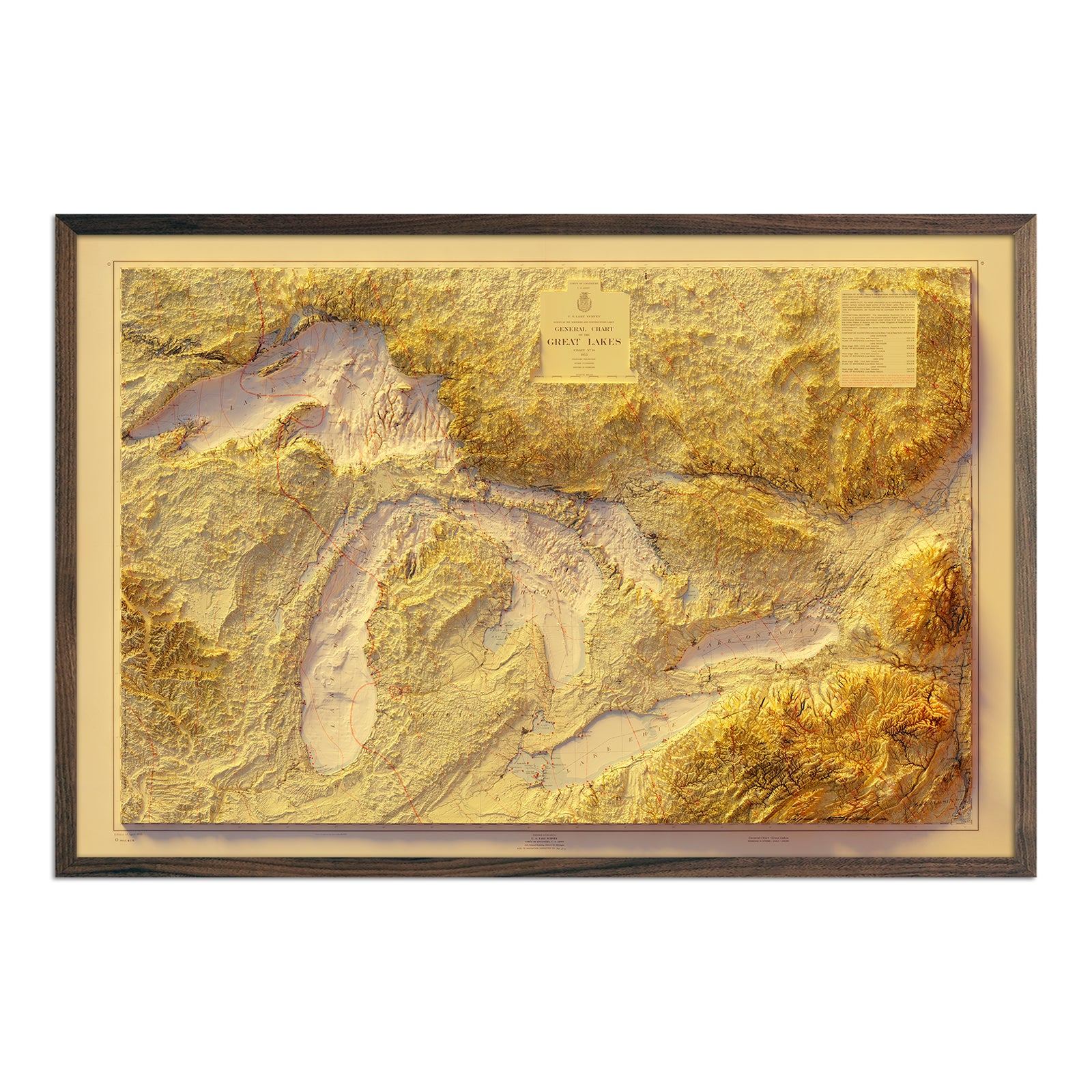
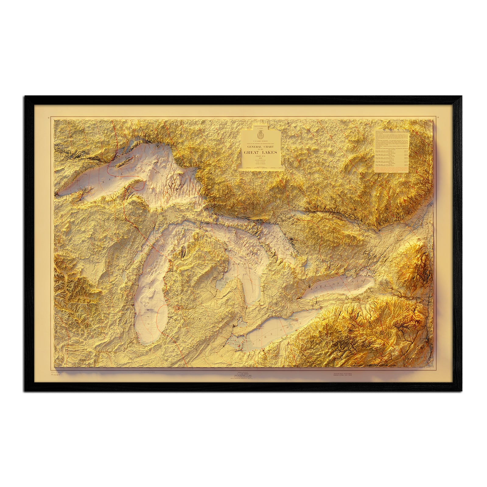
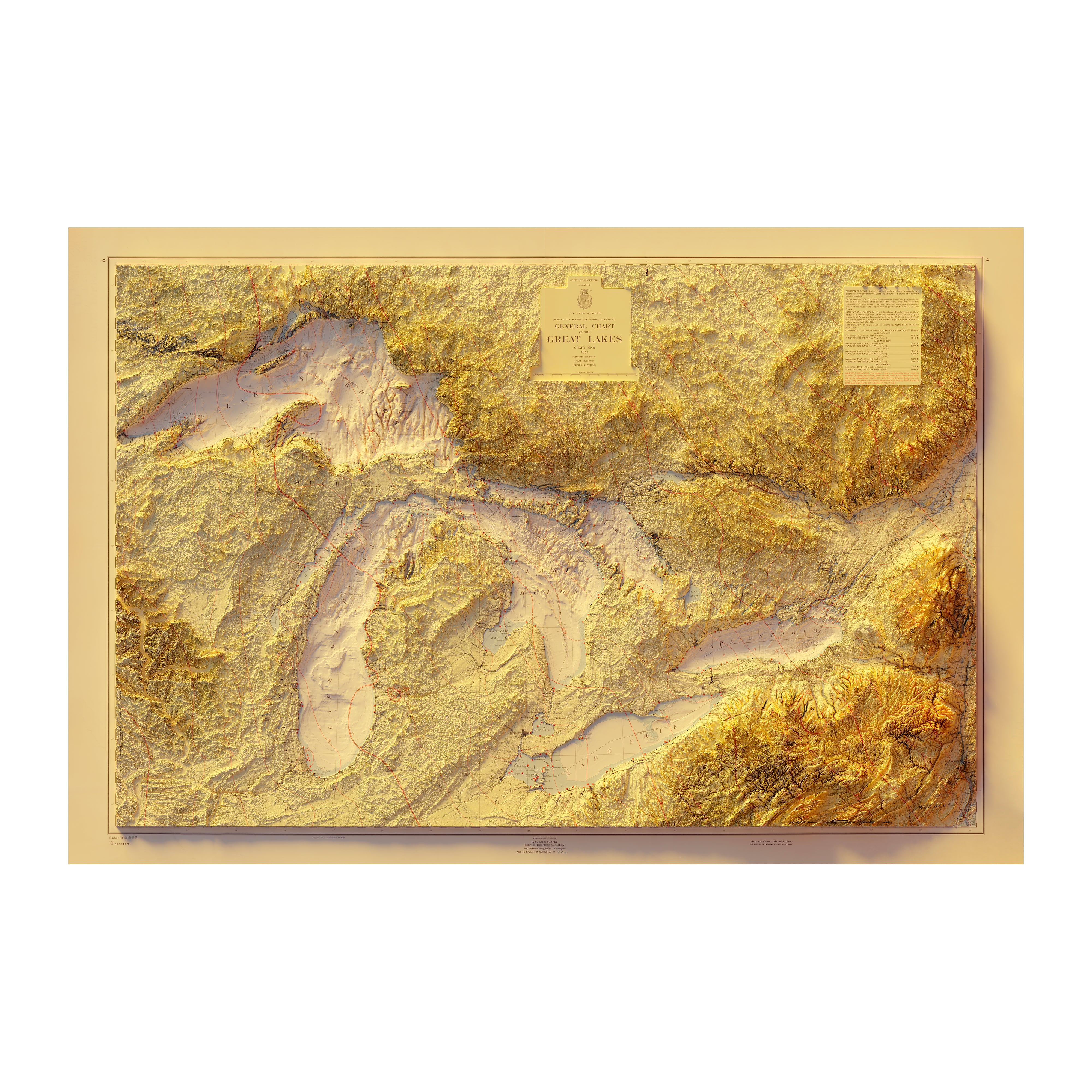
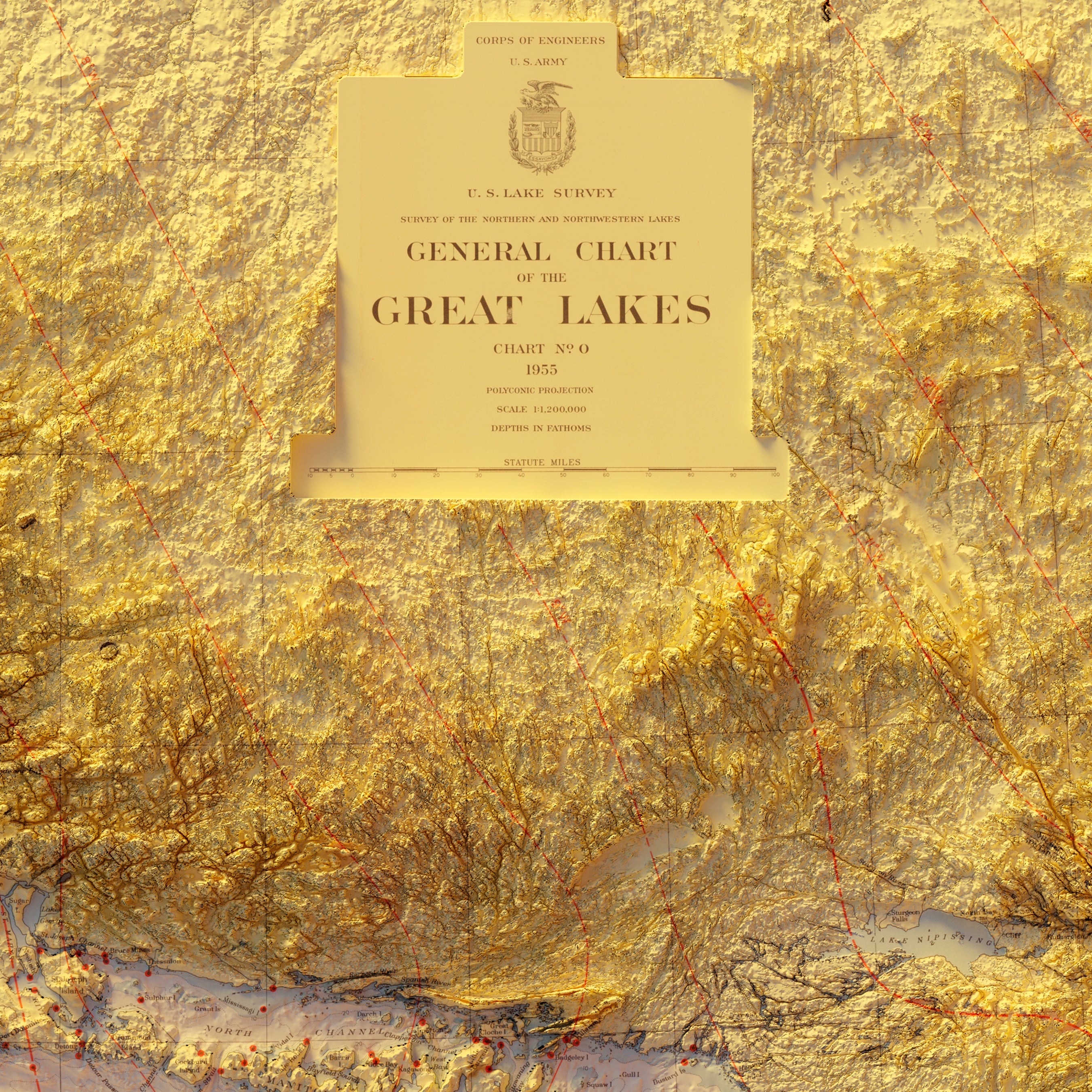
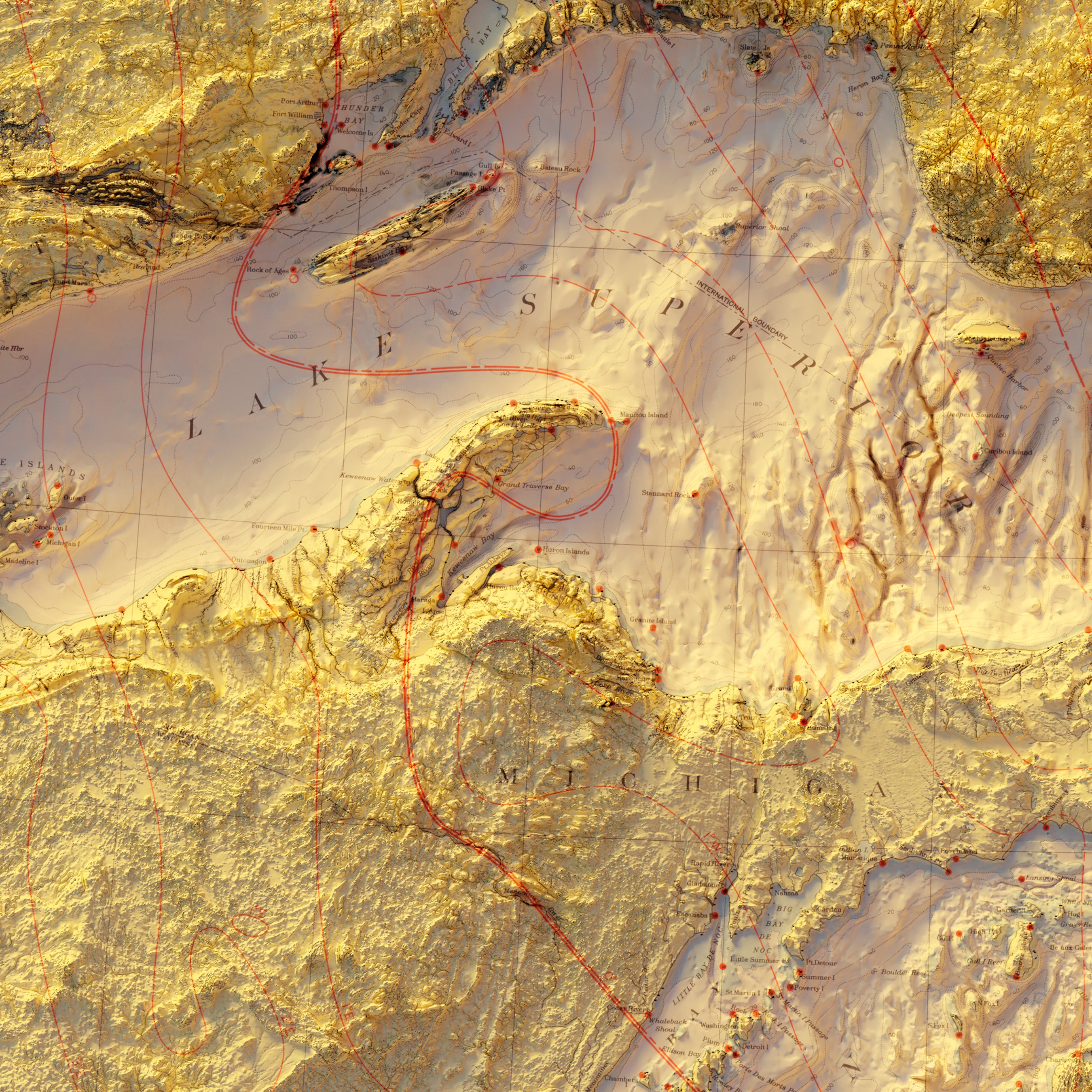
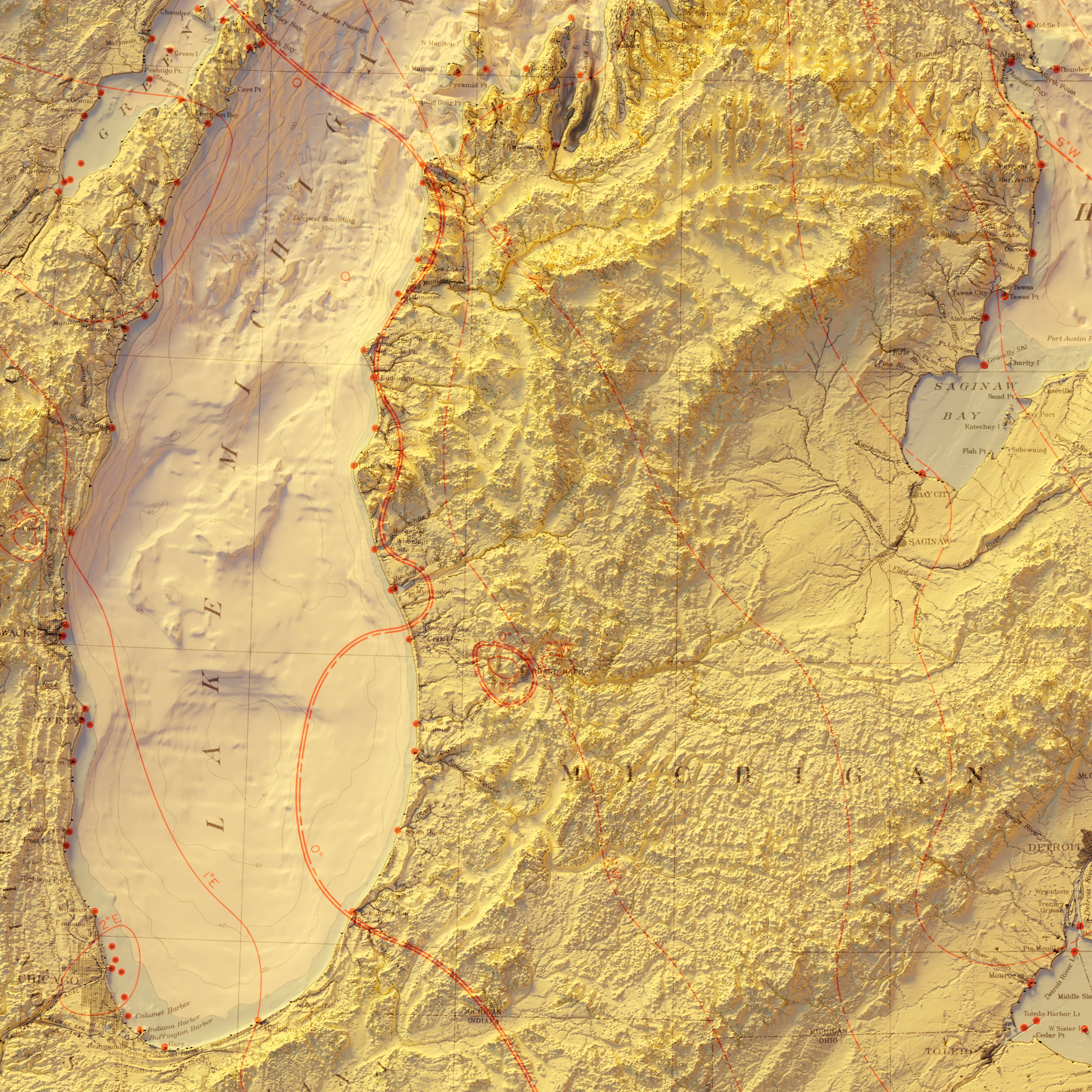
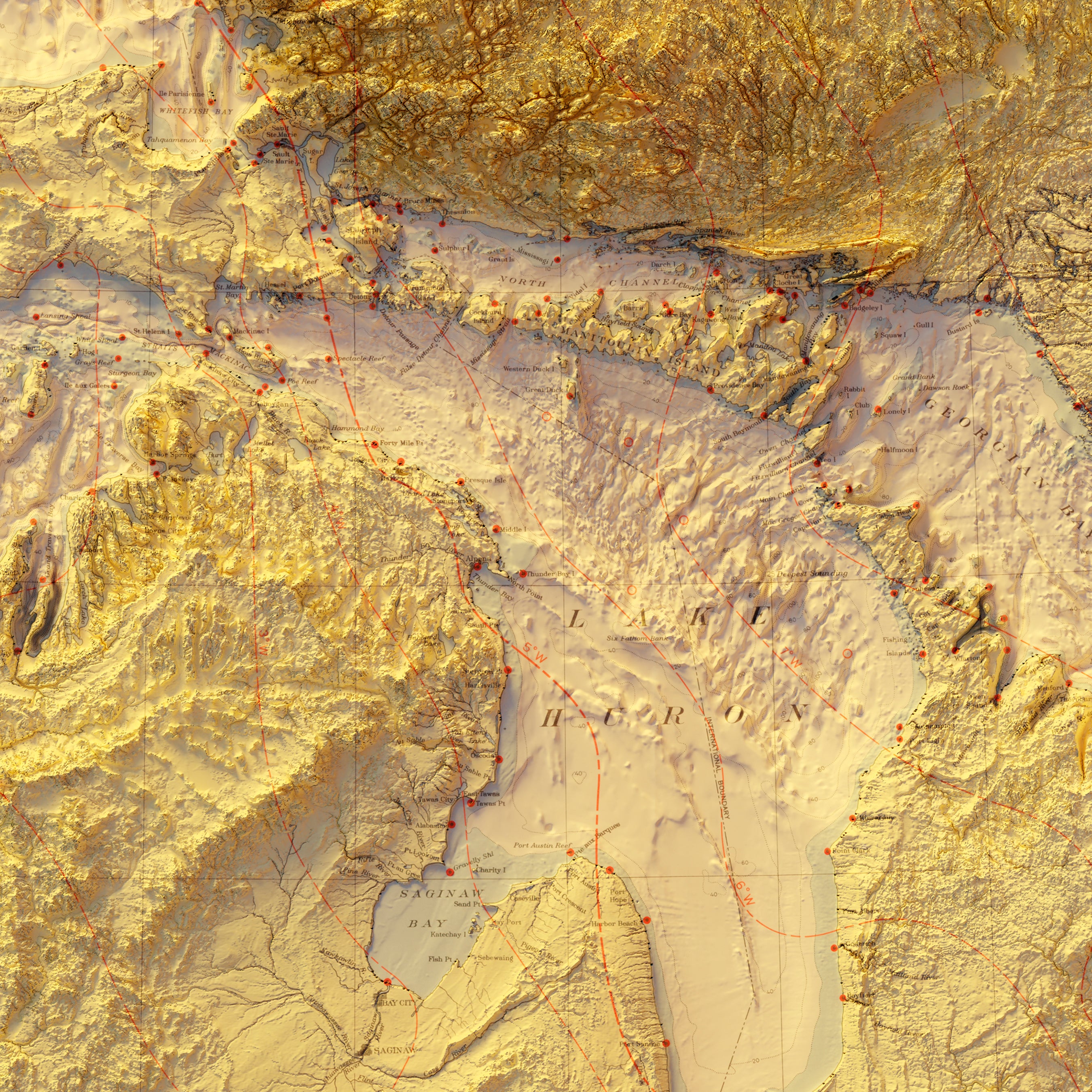
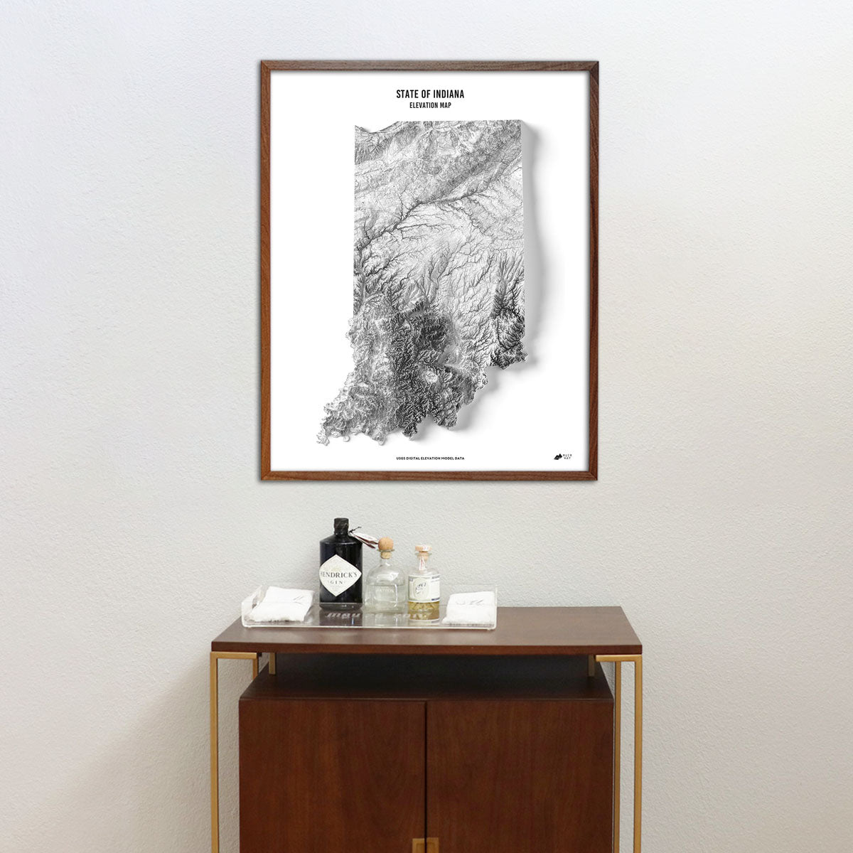
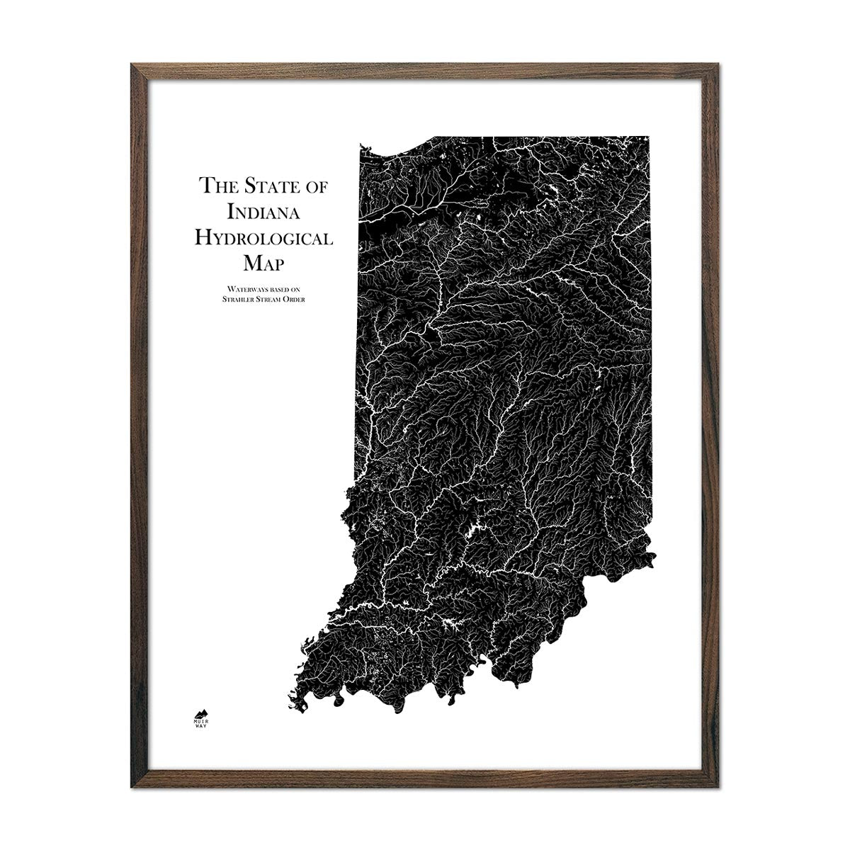
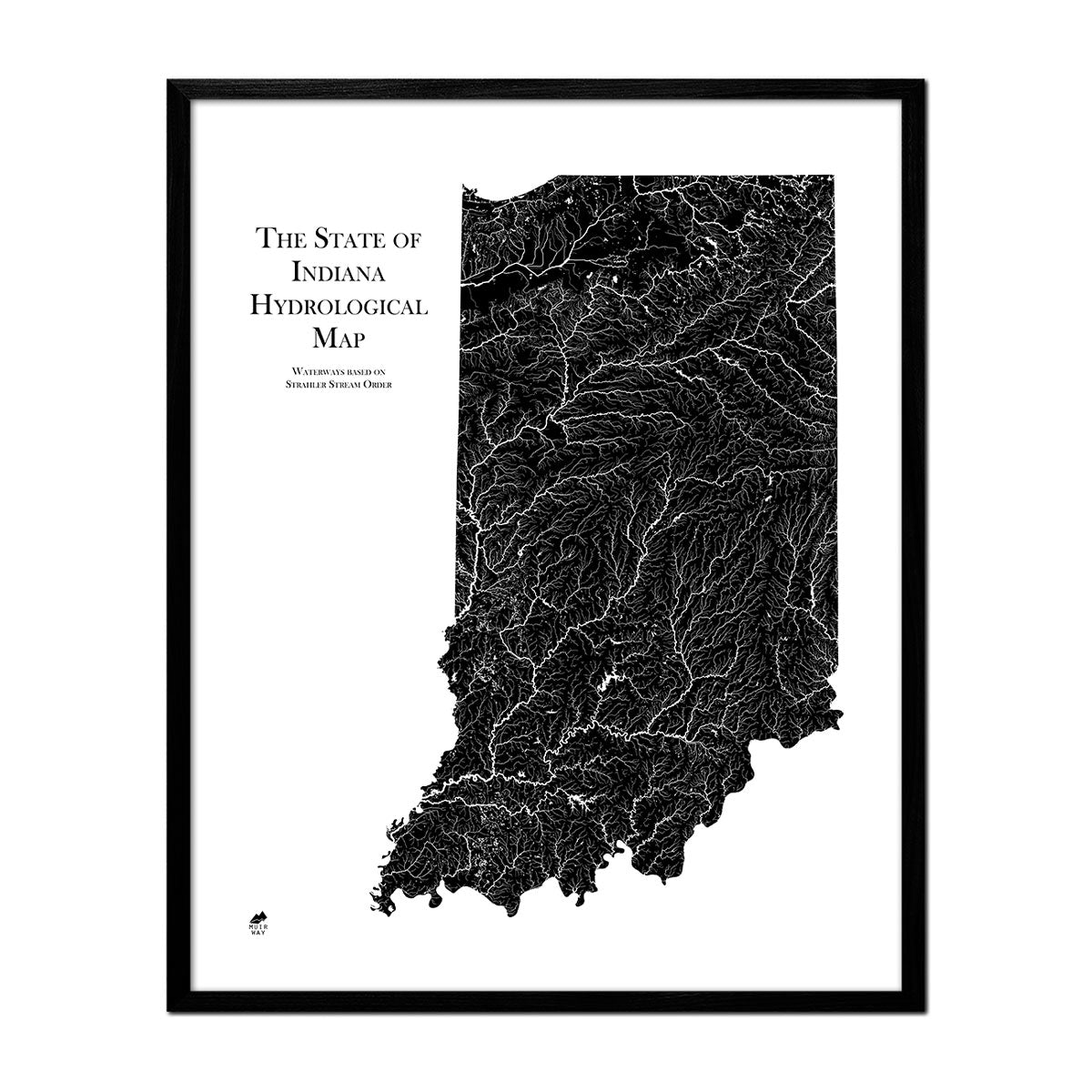
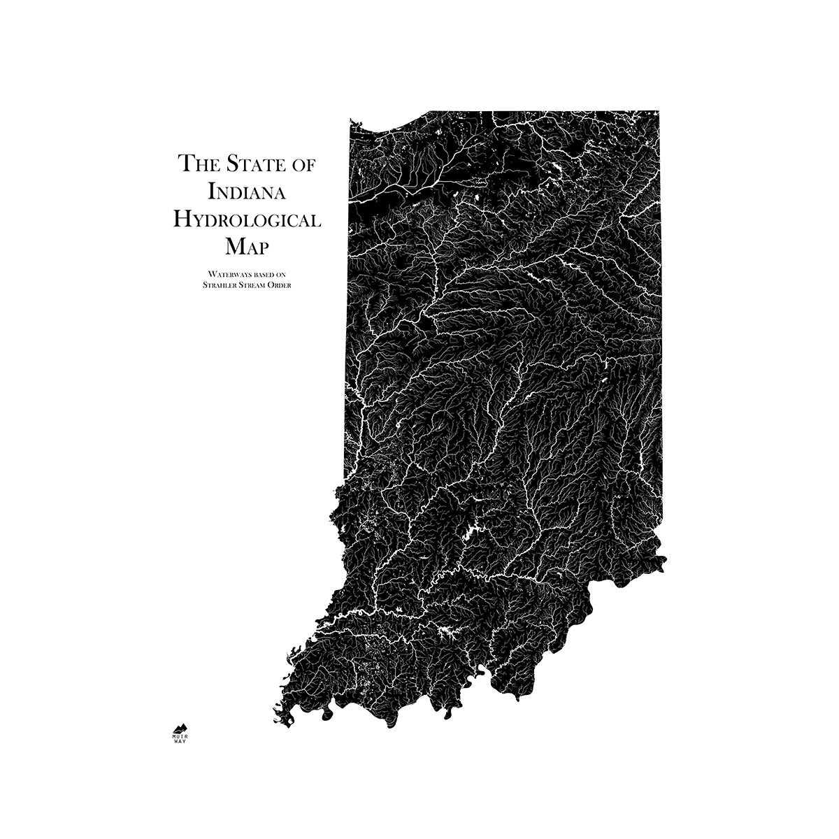
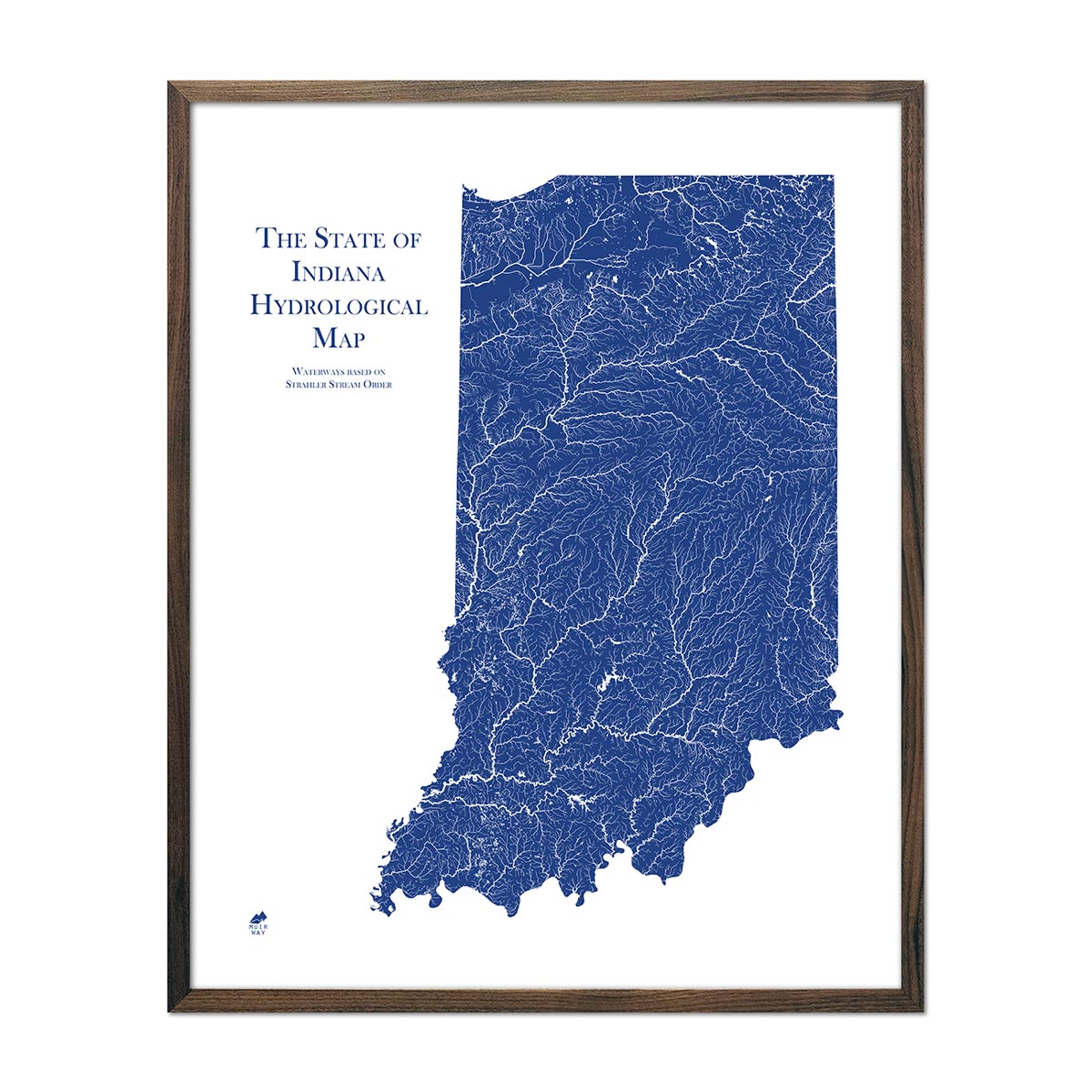
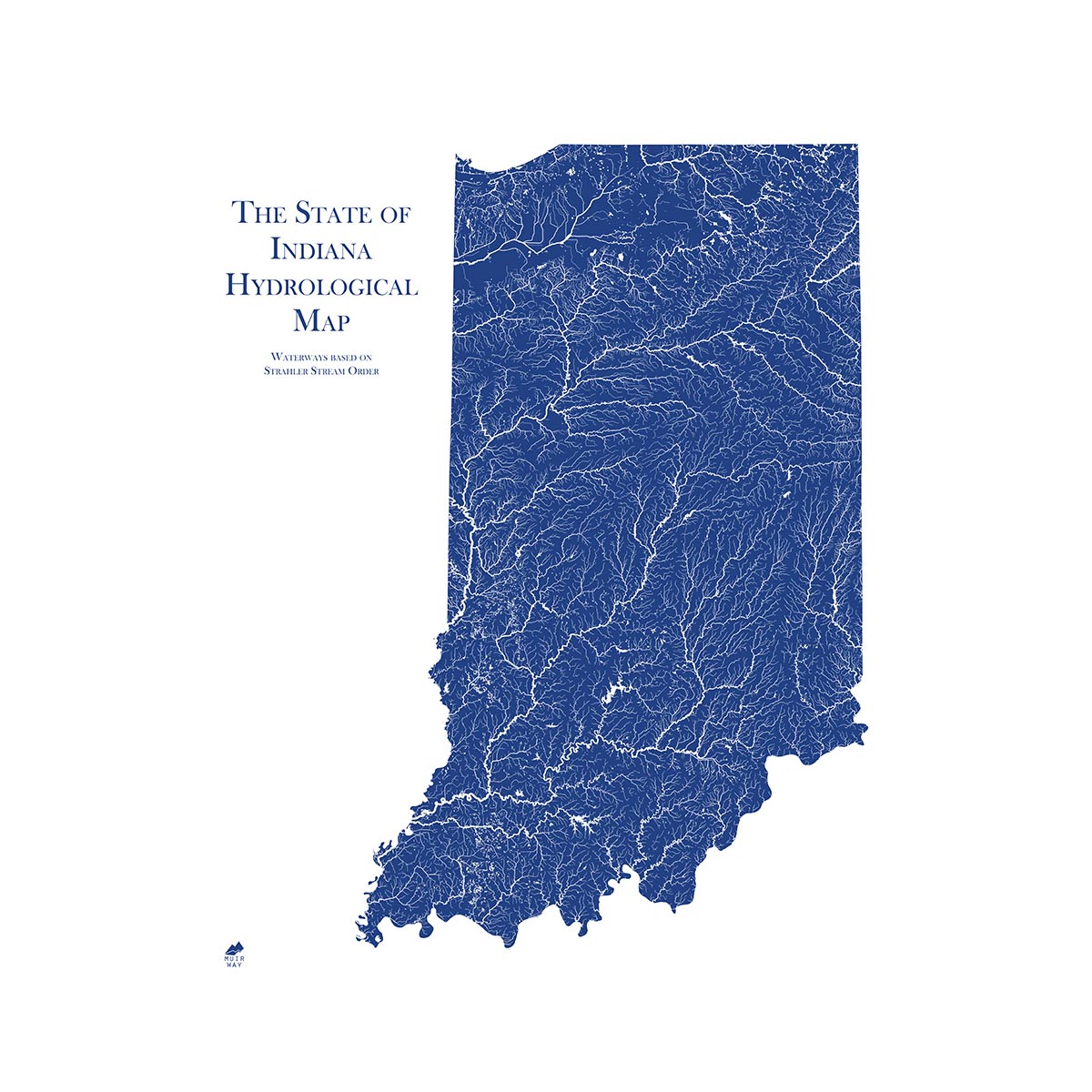
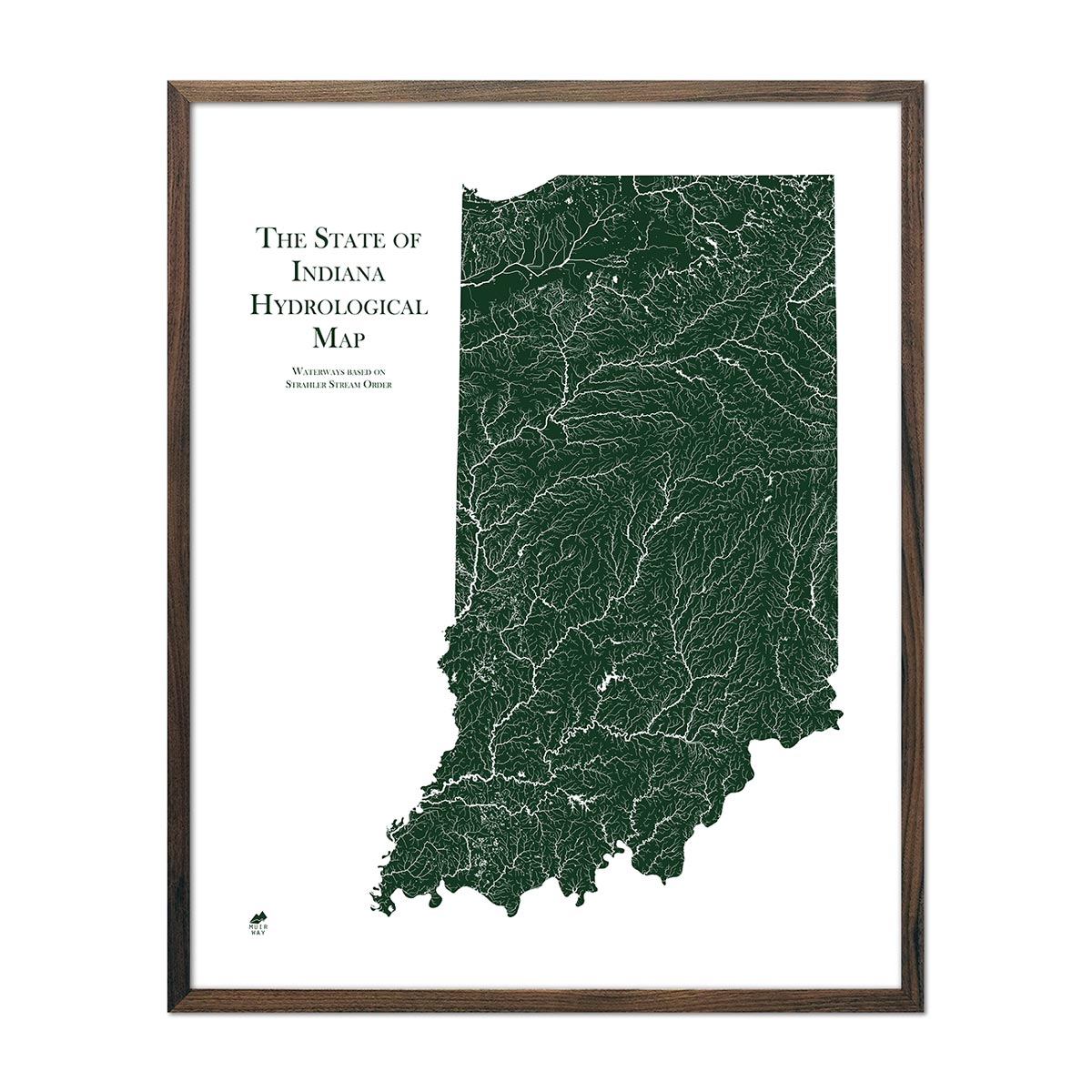
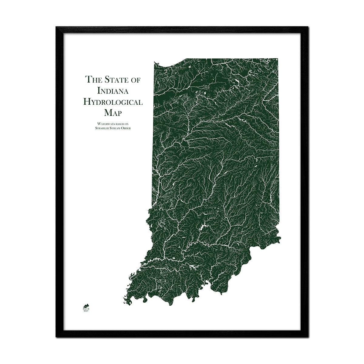
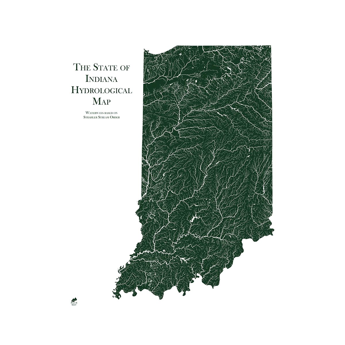
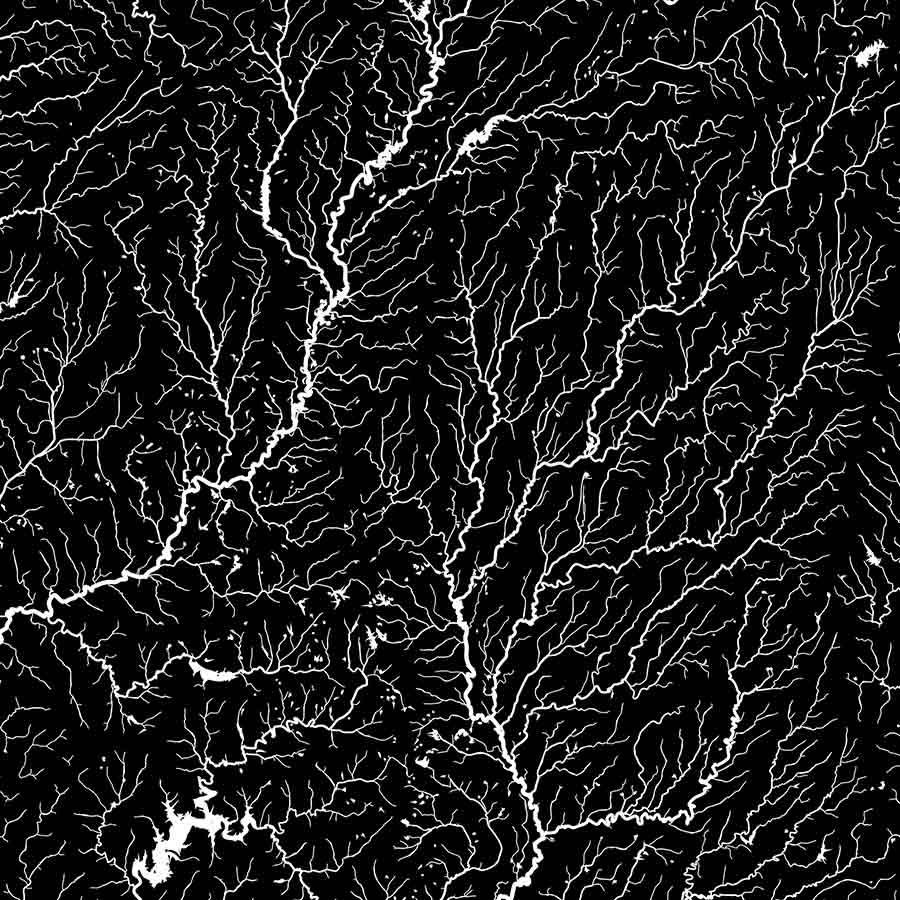
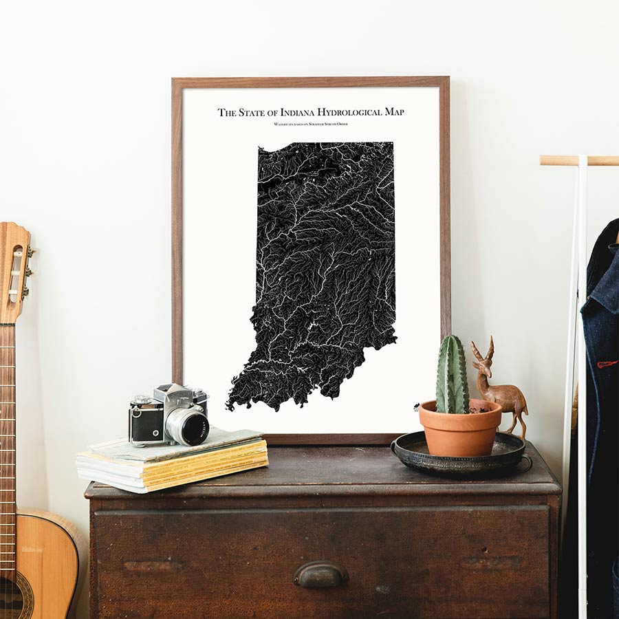
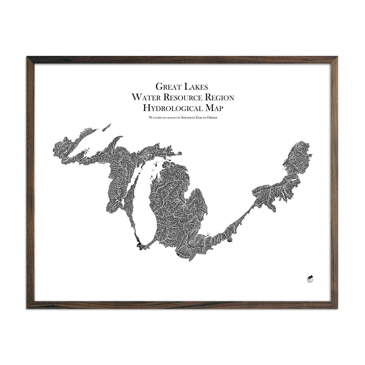
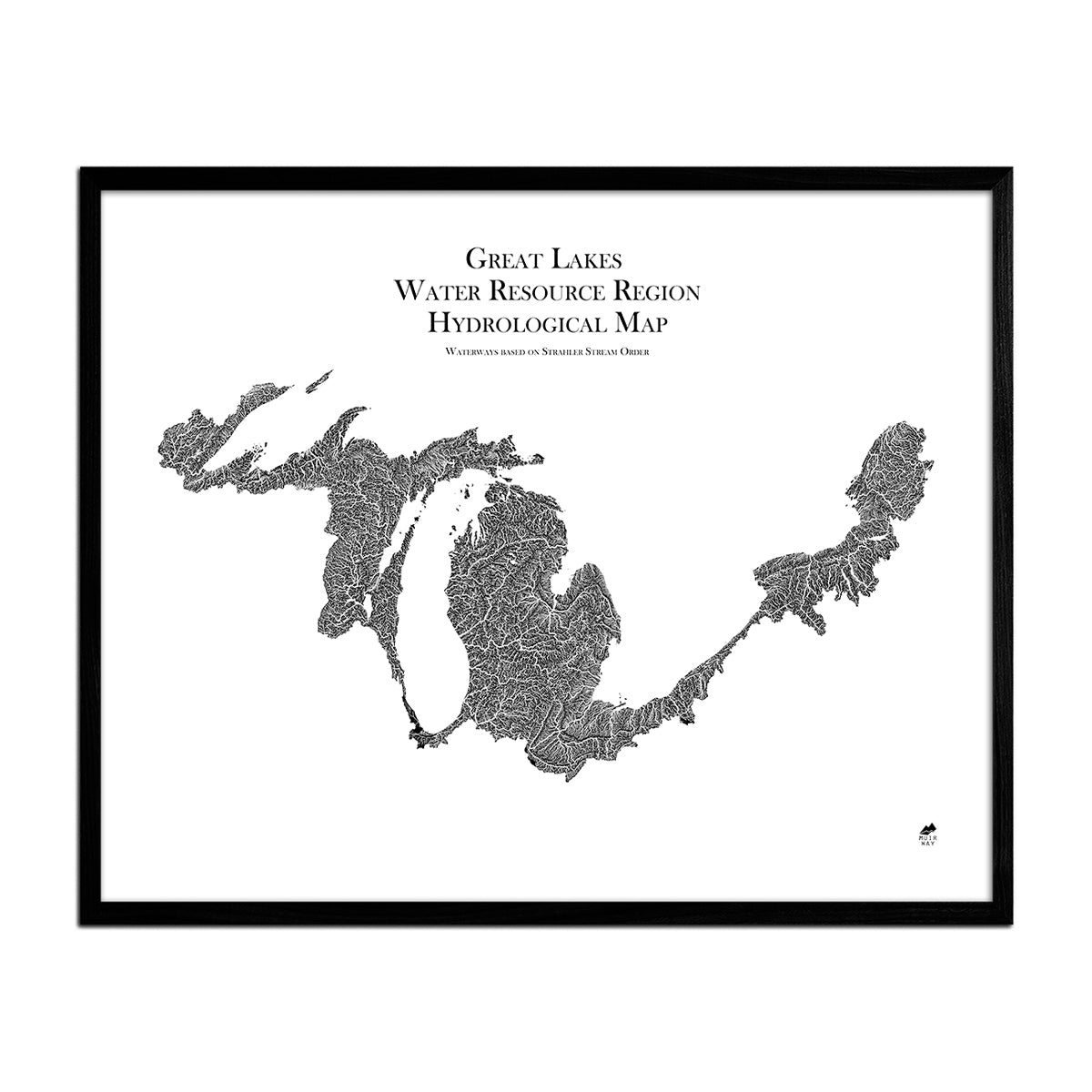
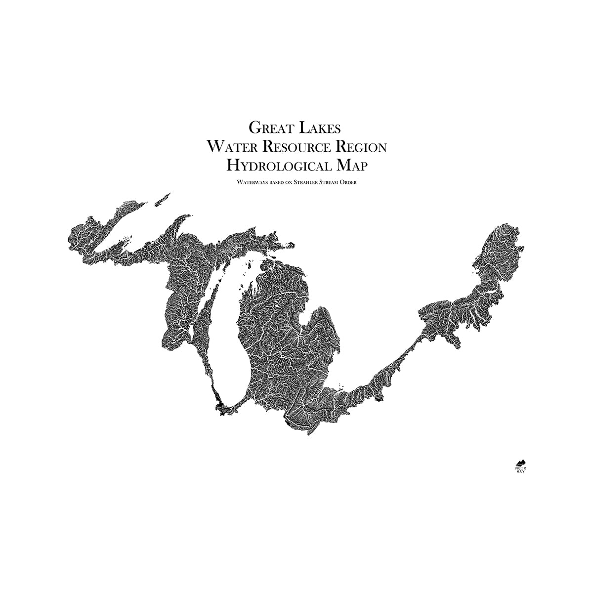
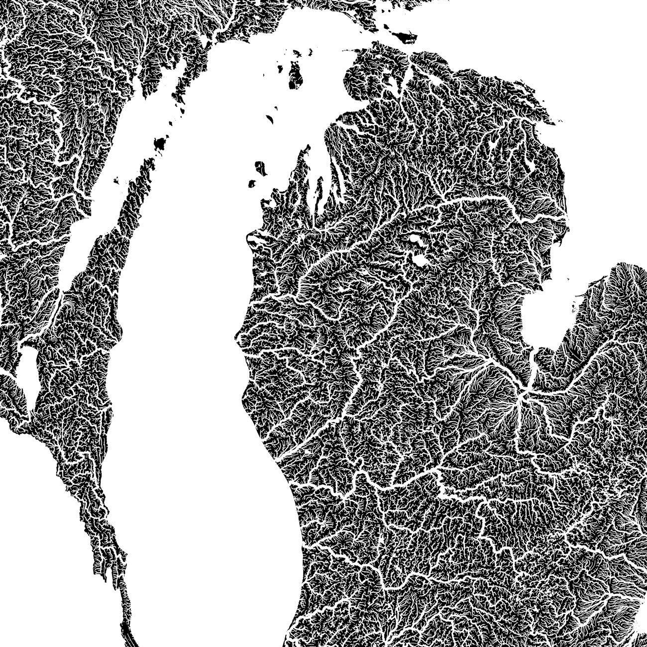
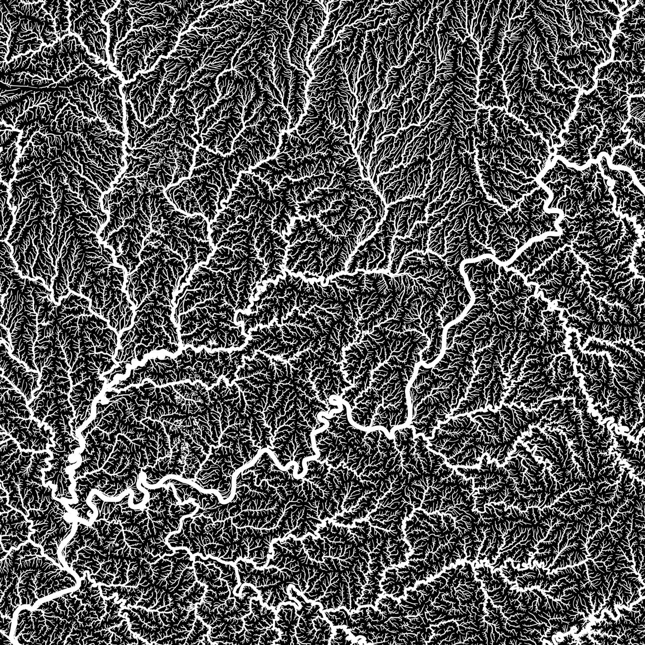
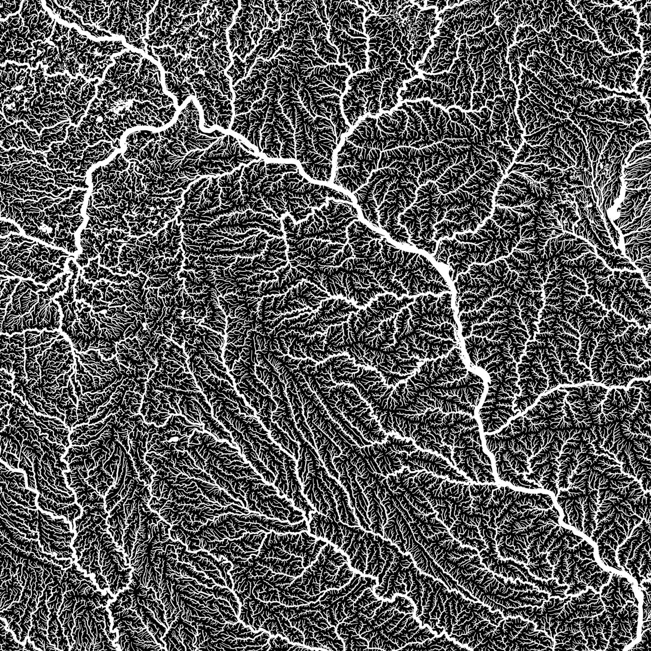
When you purchase an Indiana wall map from Muir Way, you get an heirloom-quality piece of art, not just a poster or generic print. In addition to custom printing every Indiana map using archival inks and fine art paper certified to last 100 years, the artwork of our maps themselves is designed to bring new light to the beautiful terrain they feature. Our elevation and enhanced vintage relief maps use hand-shading and Digital Elevation Data for a stunning 3D effect on a flat surface, and our hydrological maps showcase every river in the state--even intermittent streams--and every body of water over 0.2 miles in diameter in crisp detail. Our meticulous craftsmanship makes for heirloom-quality art to last for generations.
Can I get my Indiana map framed?
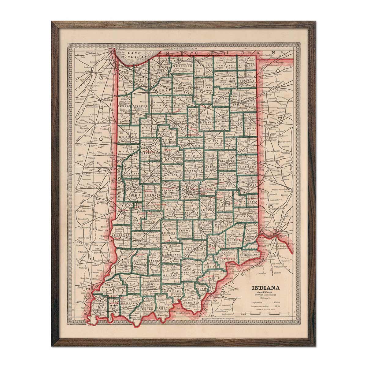
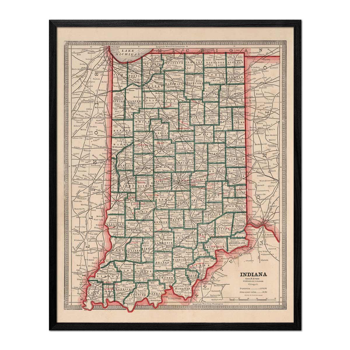
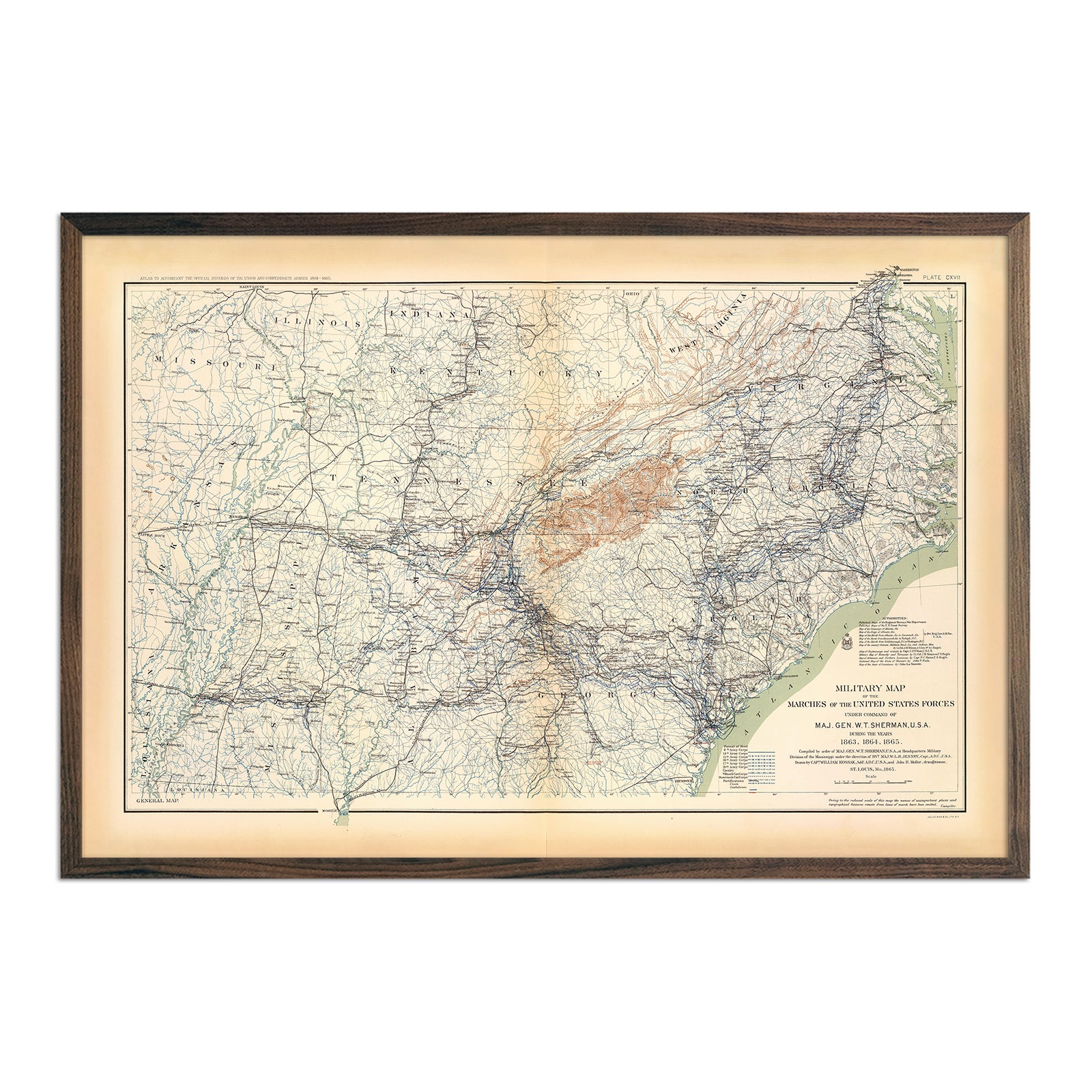
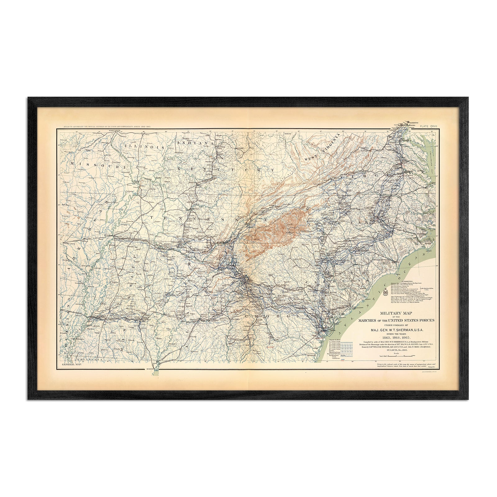
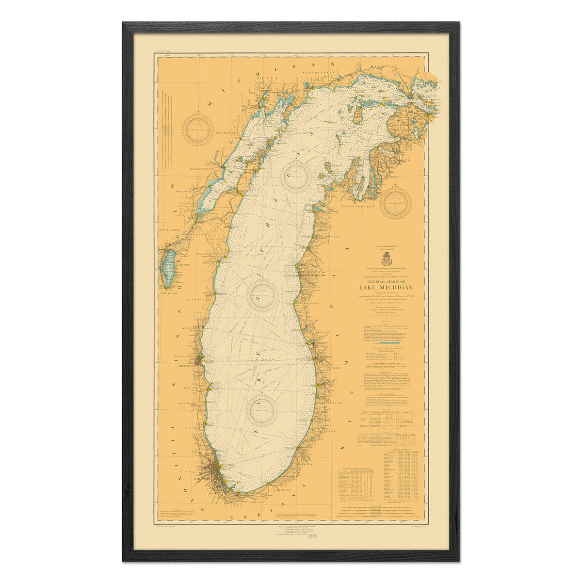
Yes! Our Indiana maps come professionally custom-framed with real wood, or are also available unframed if you prefer. Many are also available as gallery-wrapped canvas. If you’d like to purchase your Indiana wall map framed, you can choose from several different colors and wood finishes to suit your taste. If you’d prefer to use your own frame, all of our maps come in standard frameable sizes for easy gift-giving. Speaking of gift-giving...
What makes a Muir Way map of Indiana a good gift idea?
In addition to the high quality of our materials and craftsmanship, a wall map of Indiana makes a memorable, unique gift choice for a number of recipients and occasions. Muir Way custom-printed maps are popular gift choices for holidays, anniversaries, or as a thank-you or going-away gift. Our Indiana maps make particularly impactful corporate gifts as well, giving your client or coworker something to look at and think of you as opposed to a treat basket that gets eaten and disappears. We see our thousands of positive customer reviews as a testament to the quality we stand by when you purchase one of our maps as a gift.
How should I display my Indiana map?
Our maps are designed to stand out whether viewing up close or from across the room. Hang a framed Indiana wall map as a room’s central focus, or purchase several regional maps and arrange them near each other for a complementary series. Our hydrological maps come in several colors or the quintessential black and white, and our geological relief maps feature brilliant colors. No matter which you choose, you’re sure to find an Indiana illustration that will look right at home.
What are the different types of maps of Indiana available on Muir Way?
Our Indiana maps are available in several different styles, including:
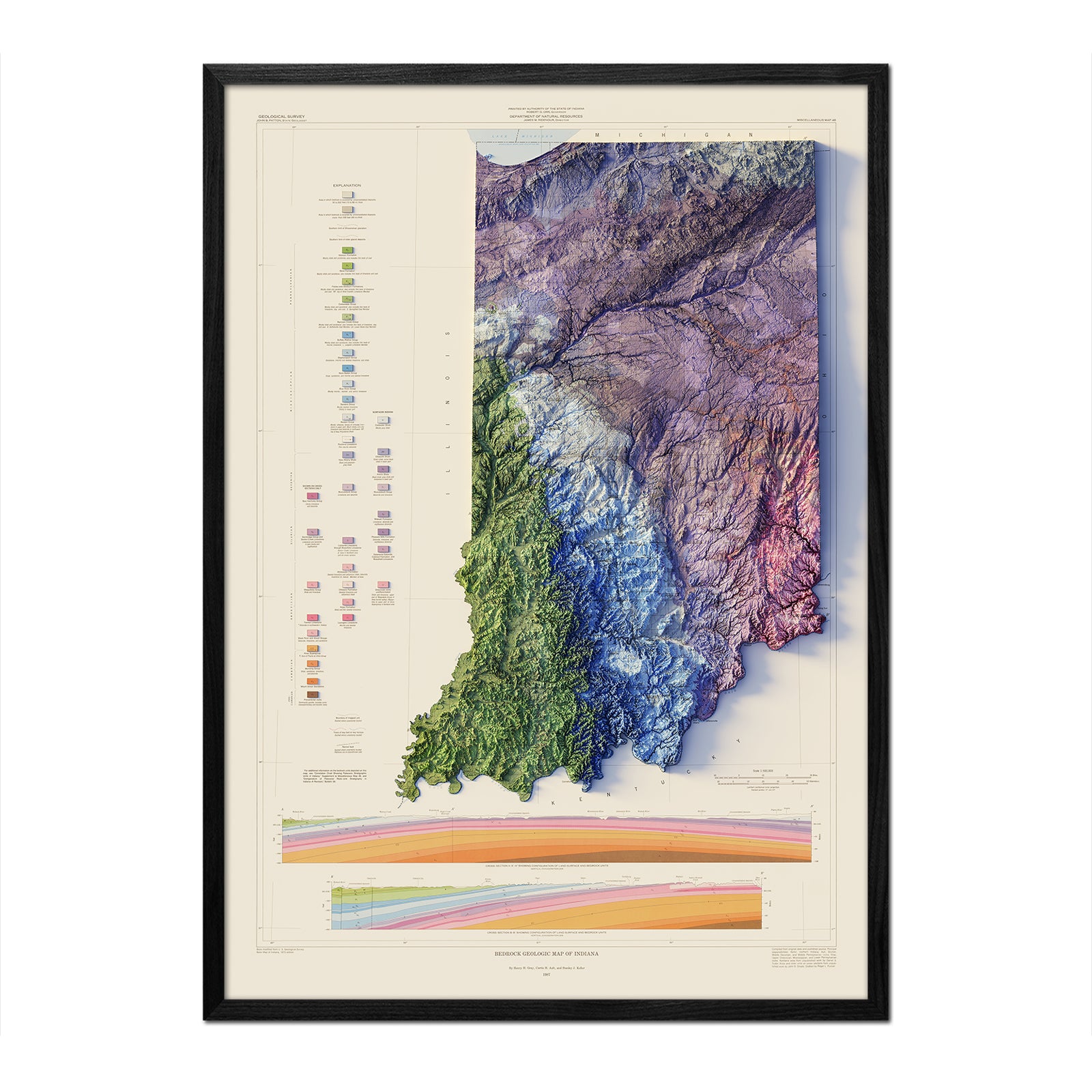
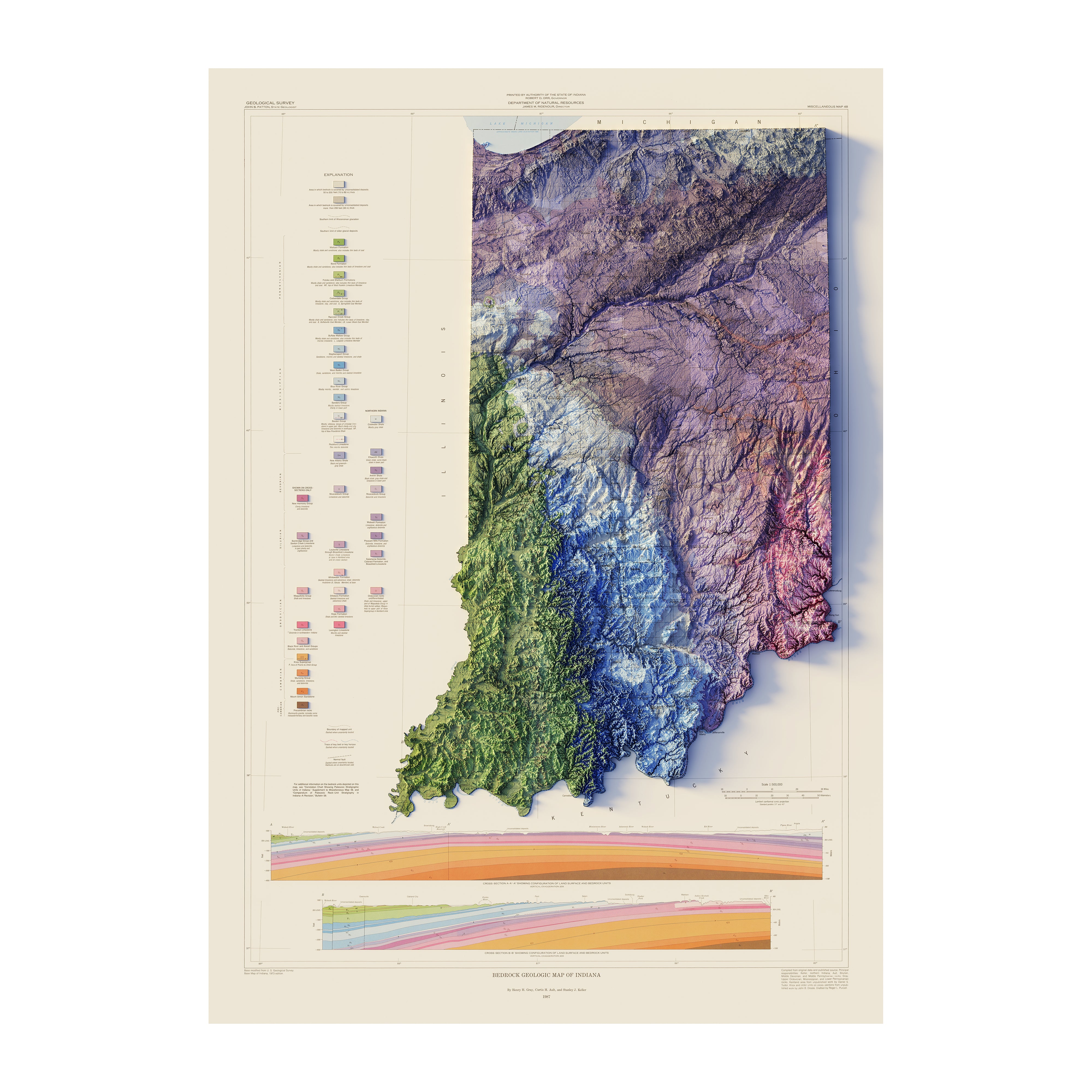
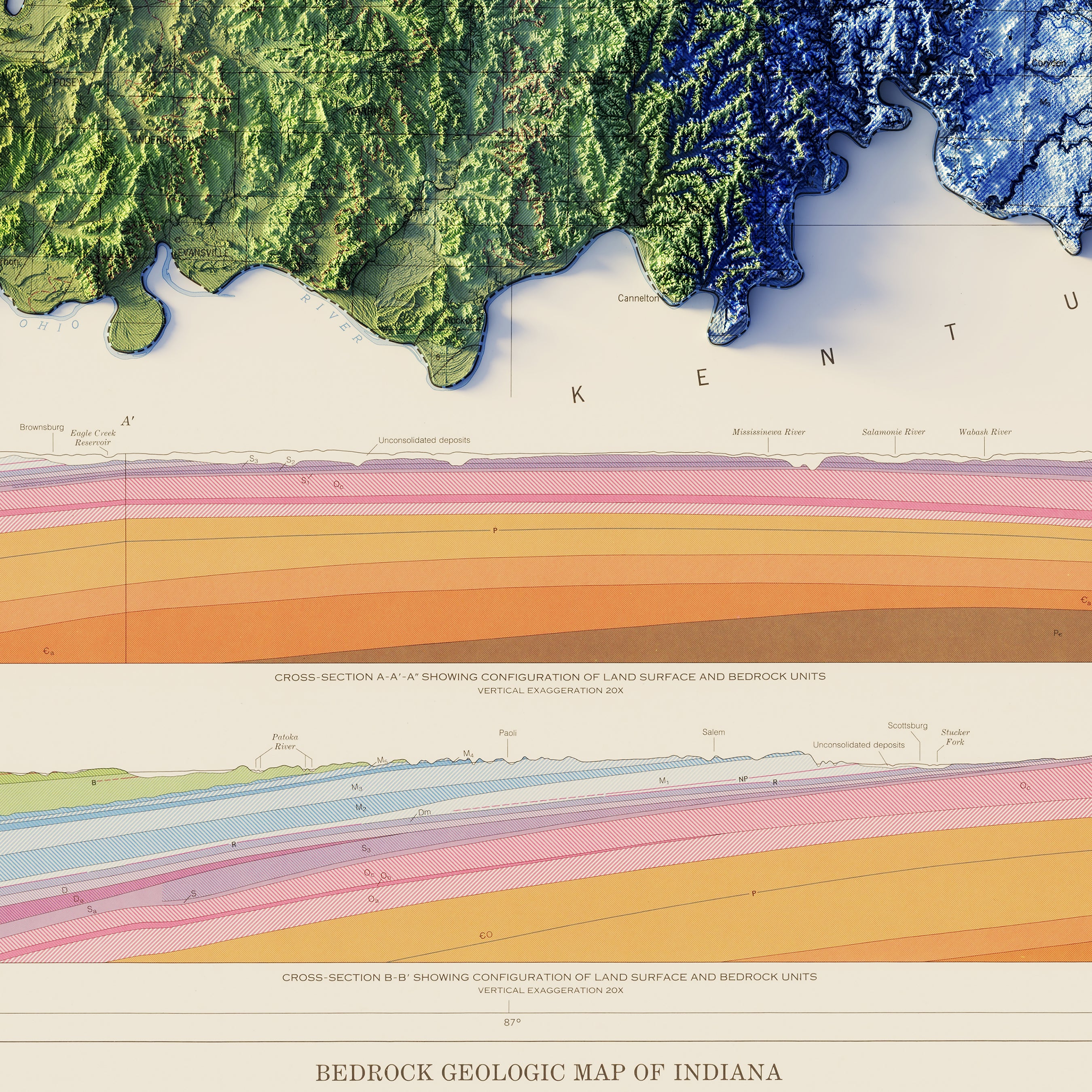
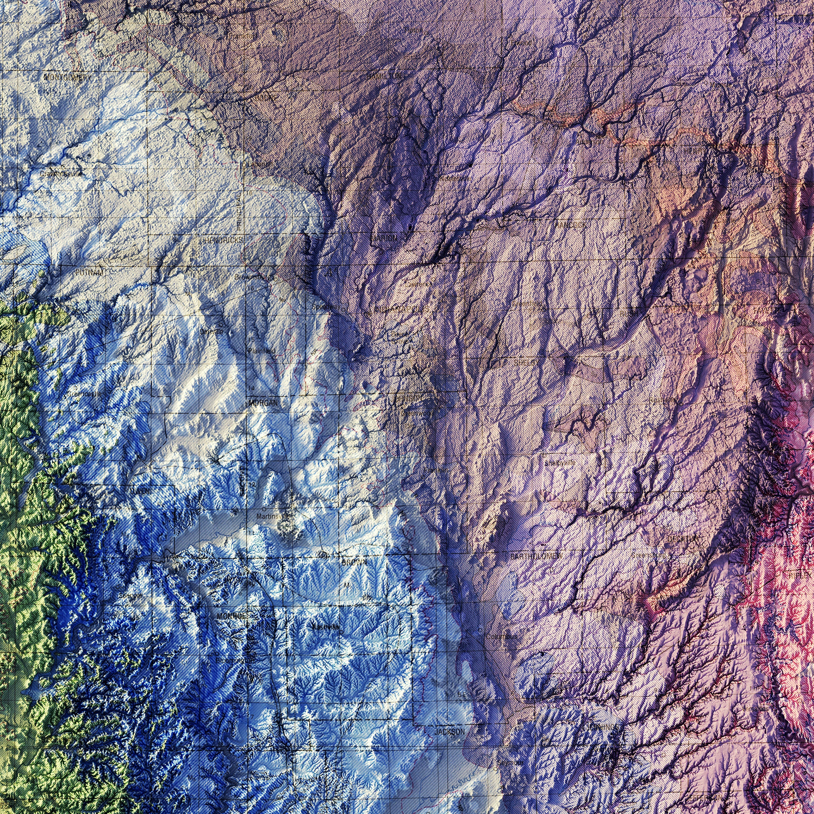
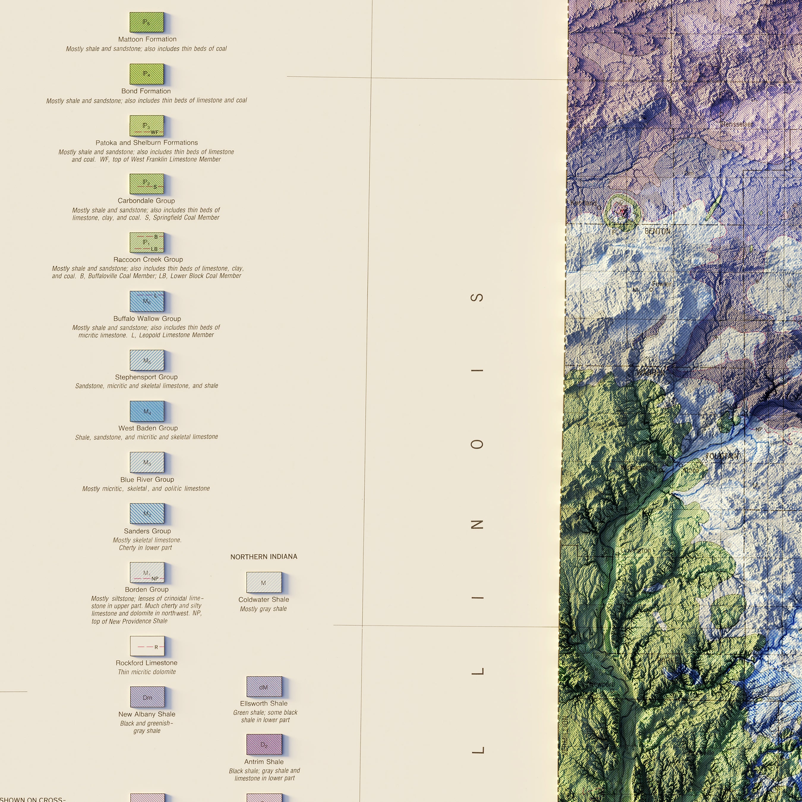
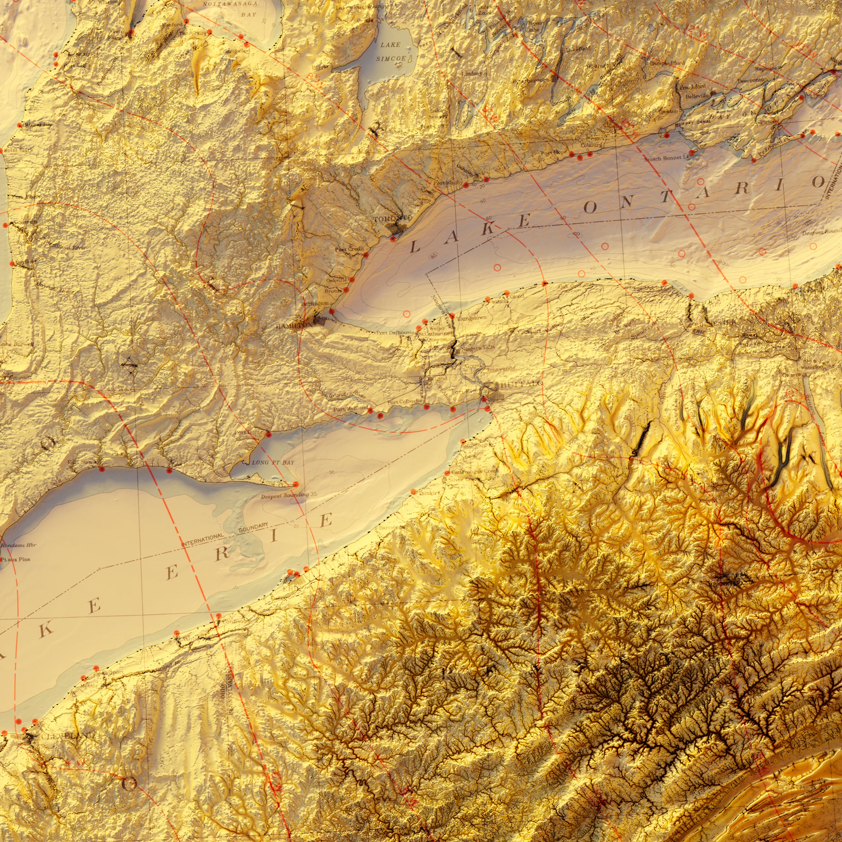
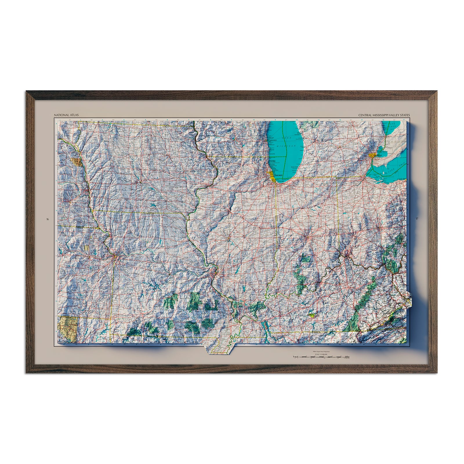
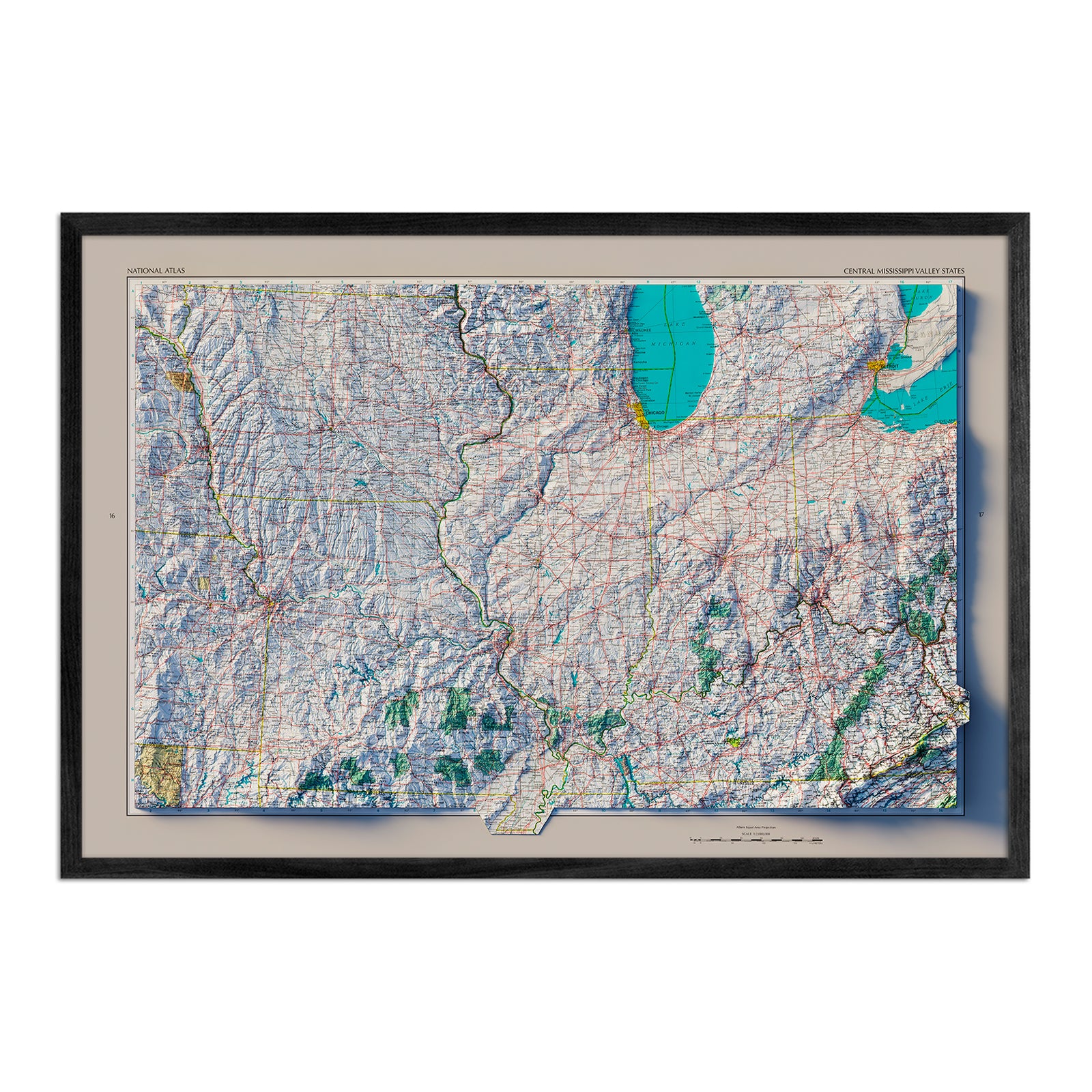
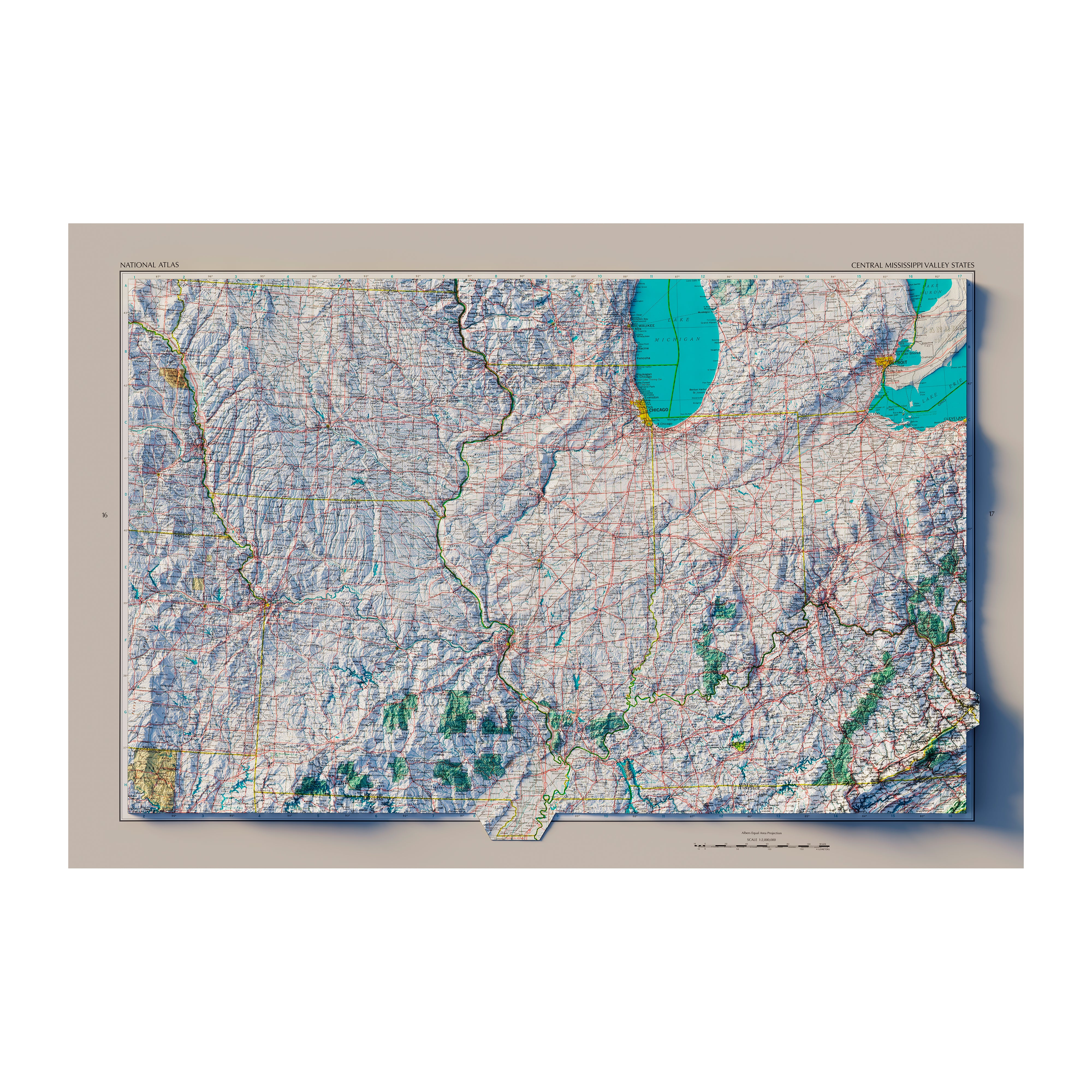
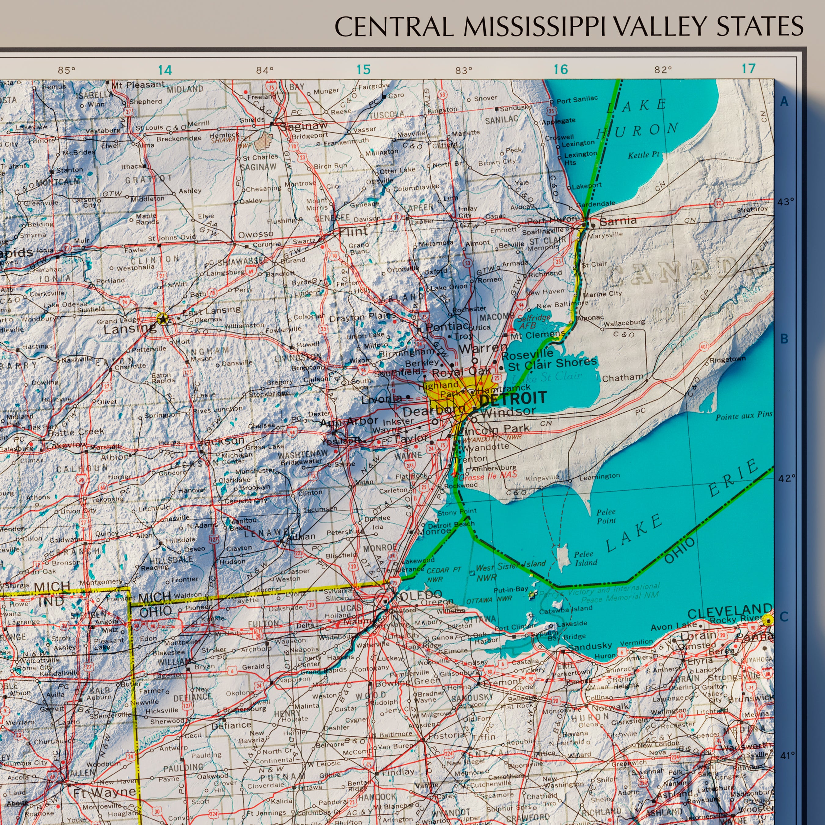
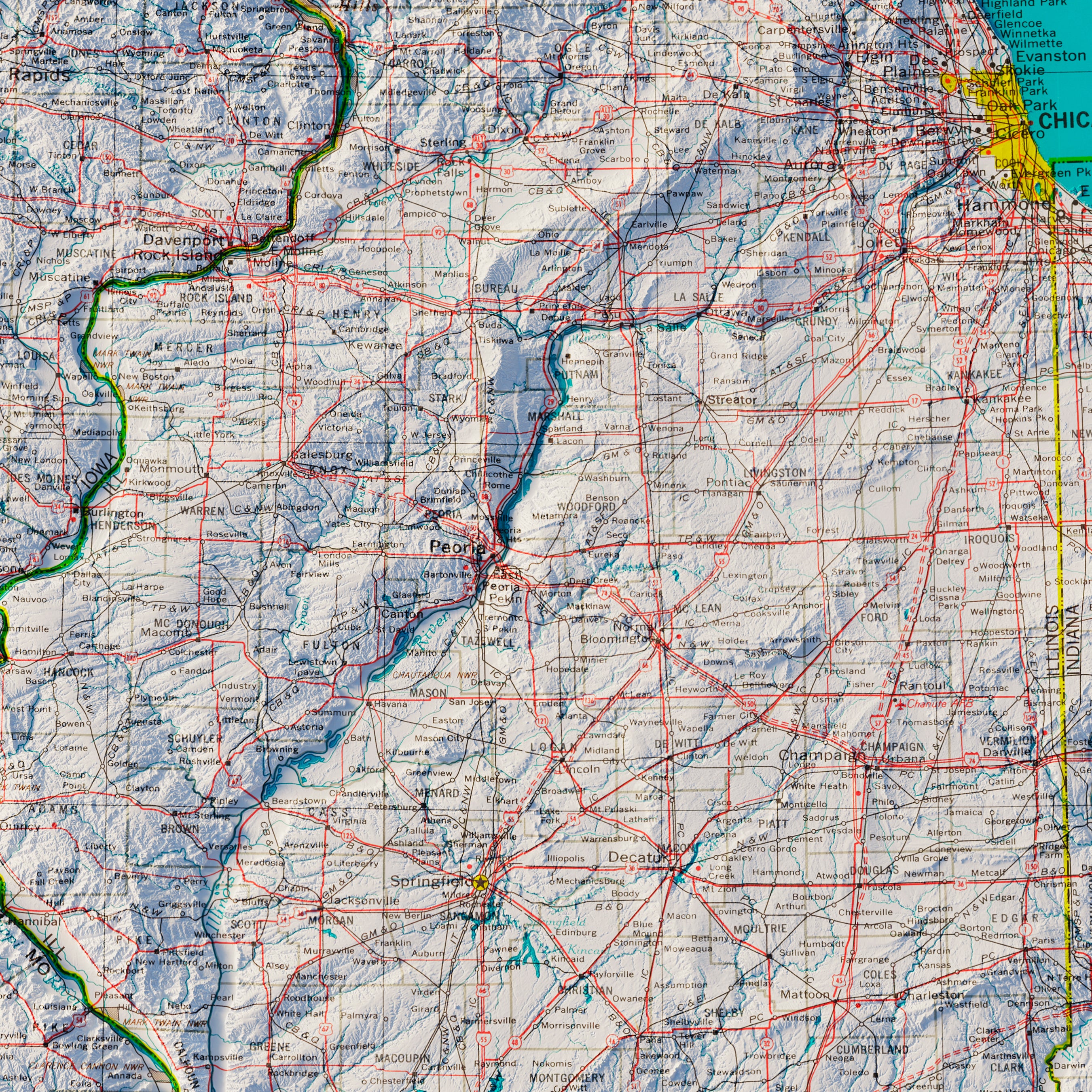
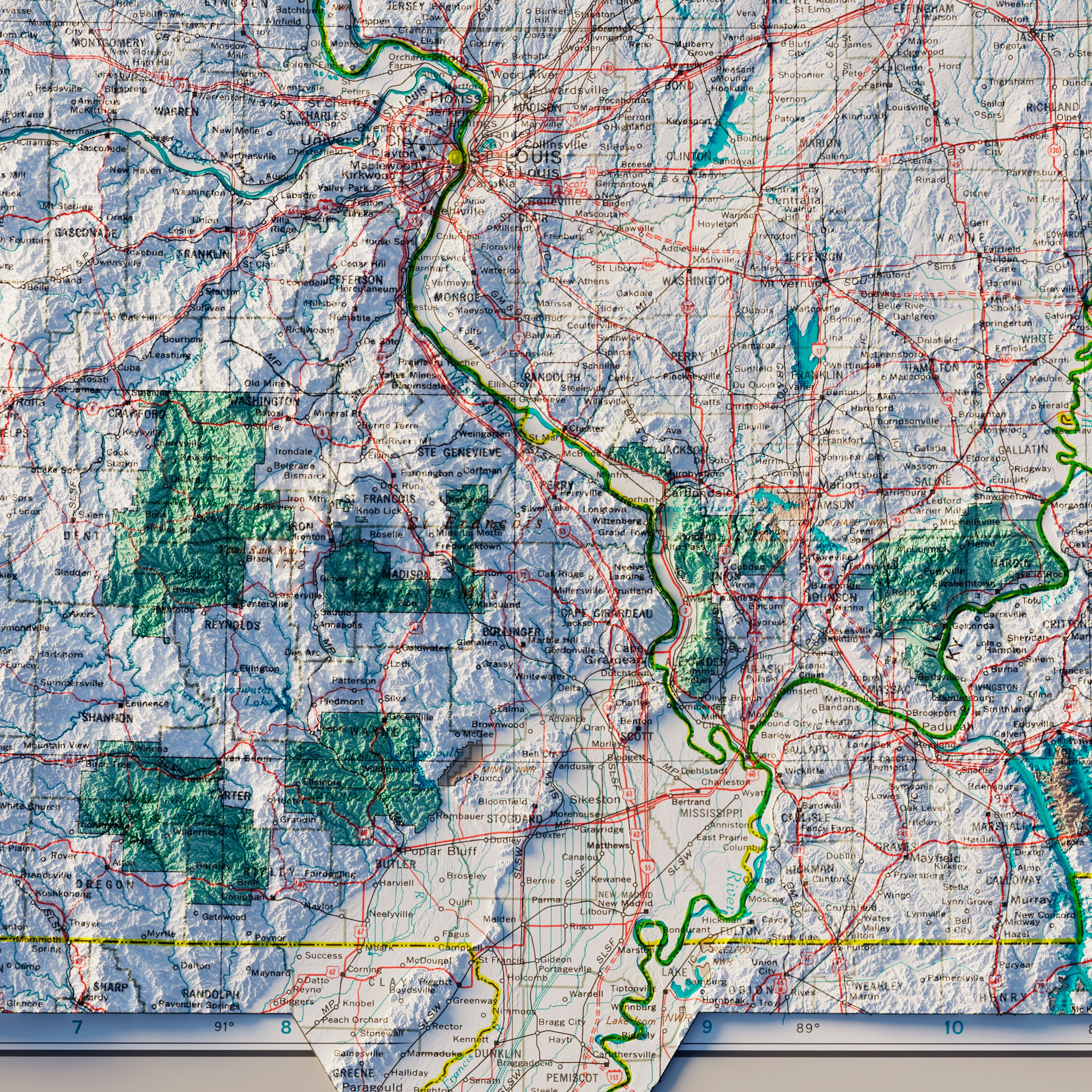
Indiana relief map - Our relief map of Indiana marries 1987 historical map imagery with modern technology to showcase Indiana’s beautiful topography in an exciting new (and colorful!) way. Using Digital Elevation Data and hand-shaded relief, we custom enhance a 1987 vintage Indiana map to create a color-coded 3D effect on a flat surface.
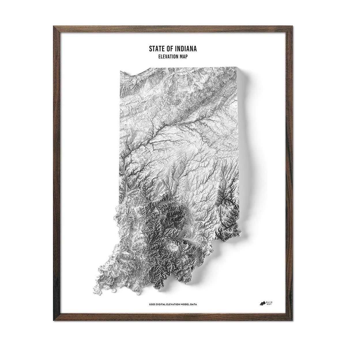
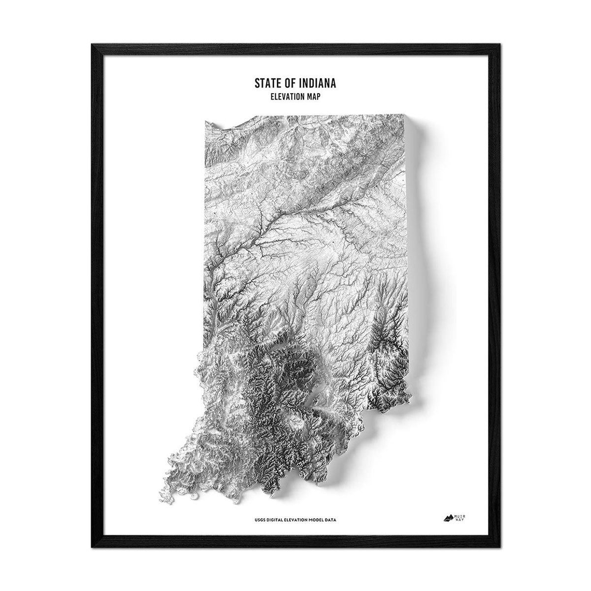
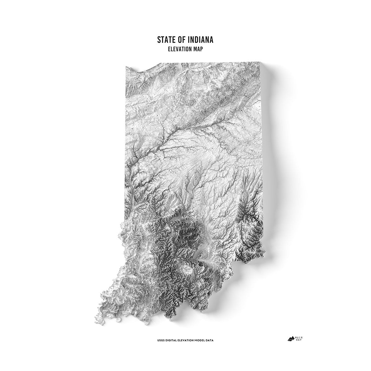
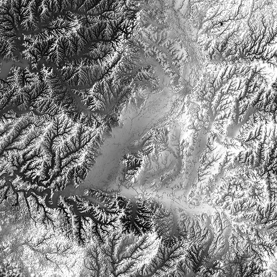
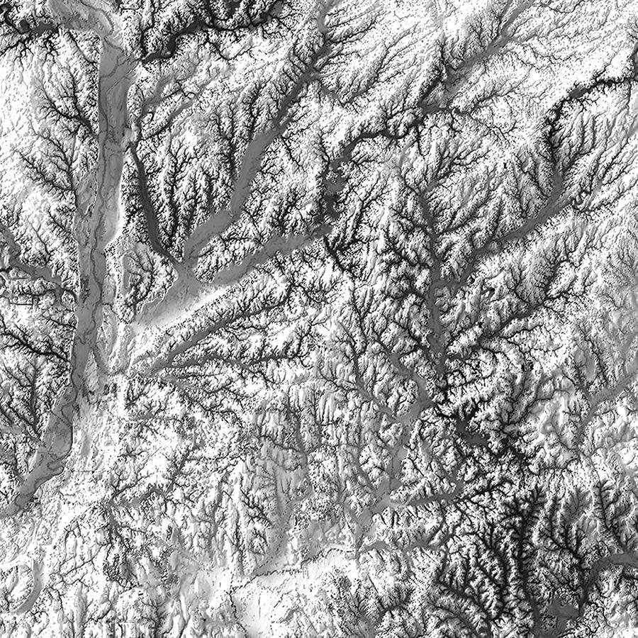
Indiana elevation map - Like the relief map, our state of Indiana elevation map also uses Digital Elevation Data from the USGS to create a high-contrast 3-dimensional effect, this time in beautiful black and white.
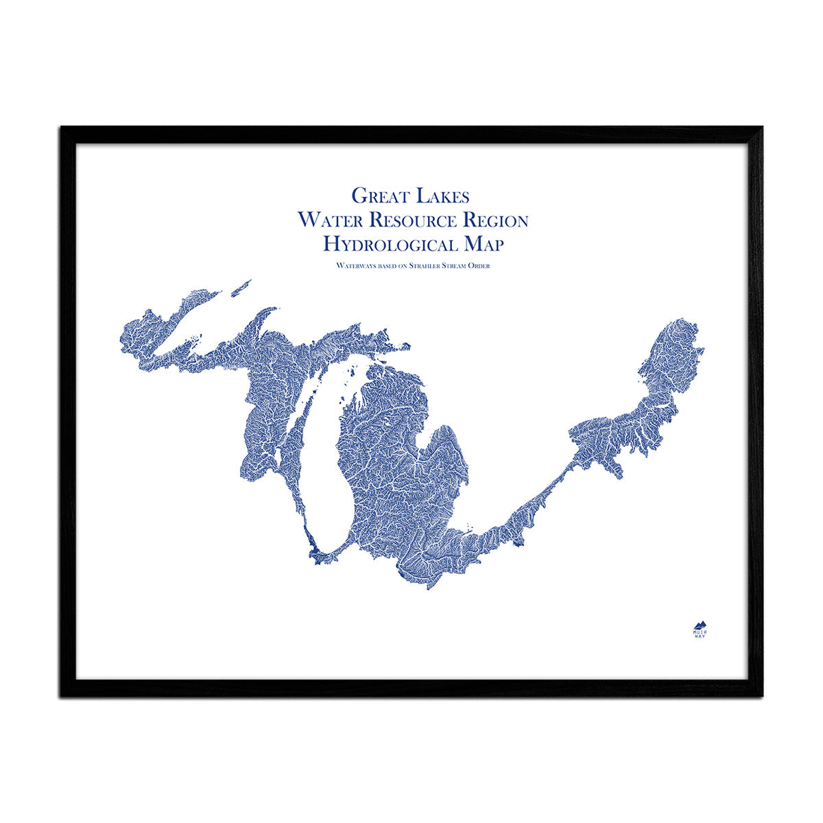
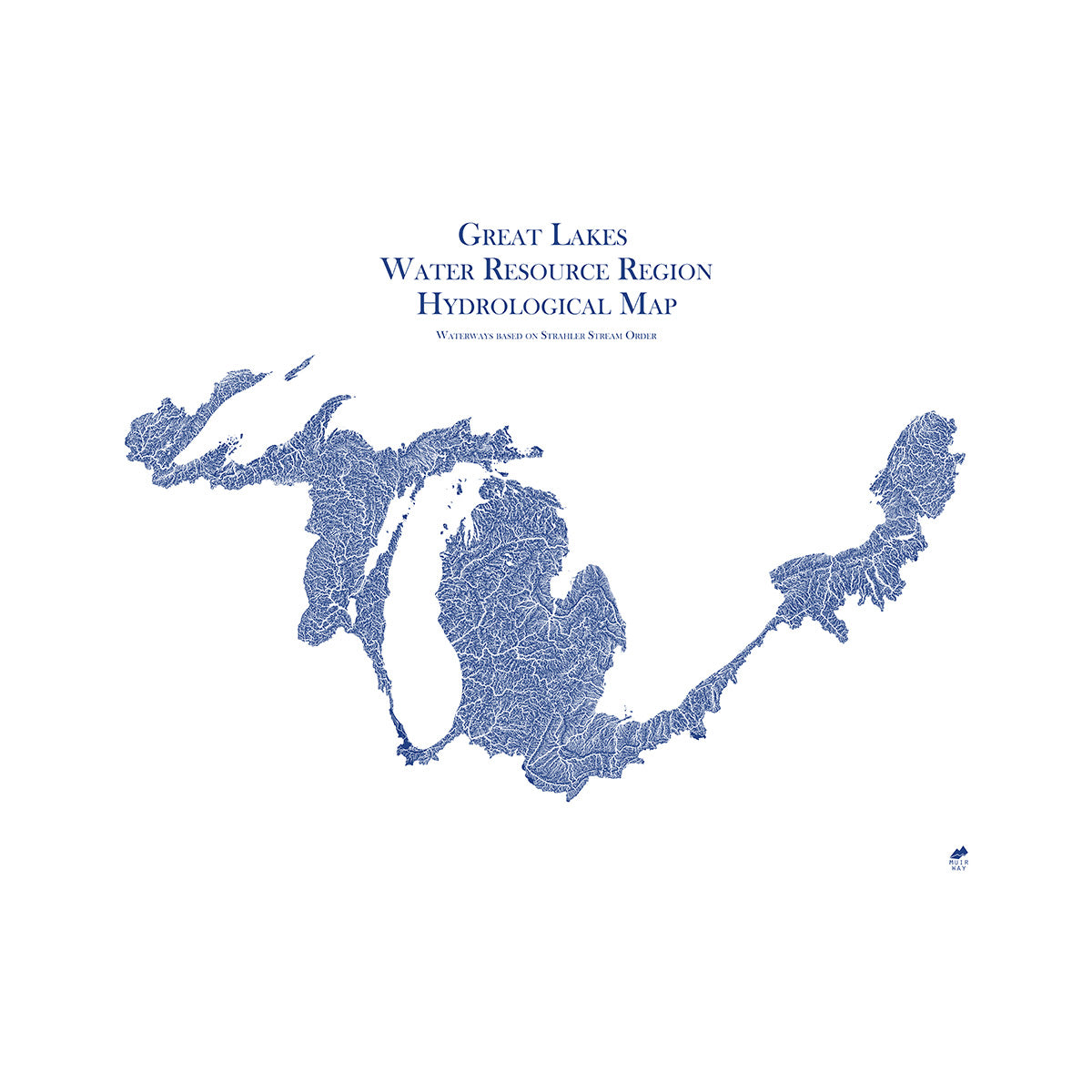
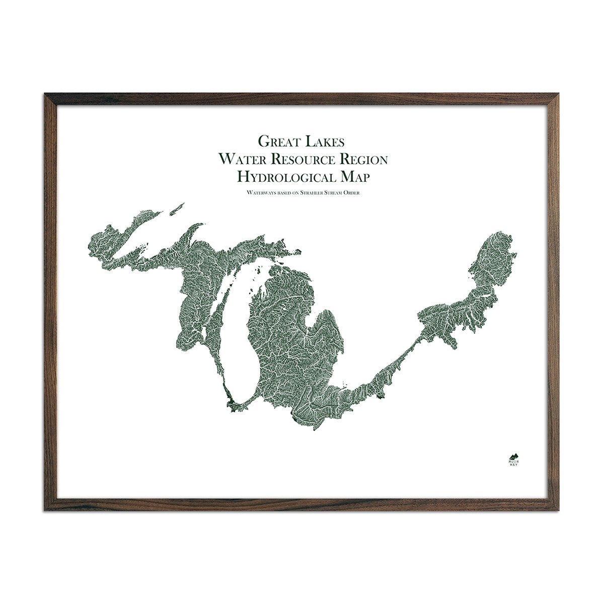
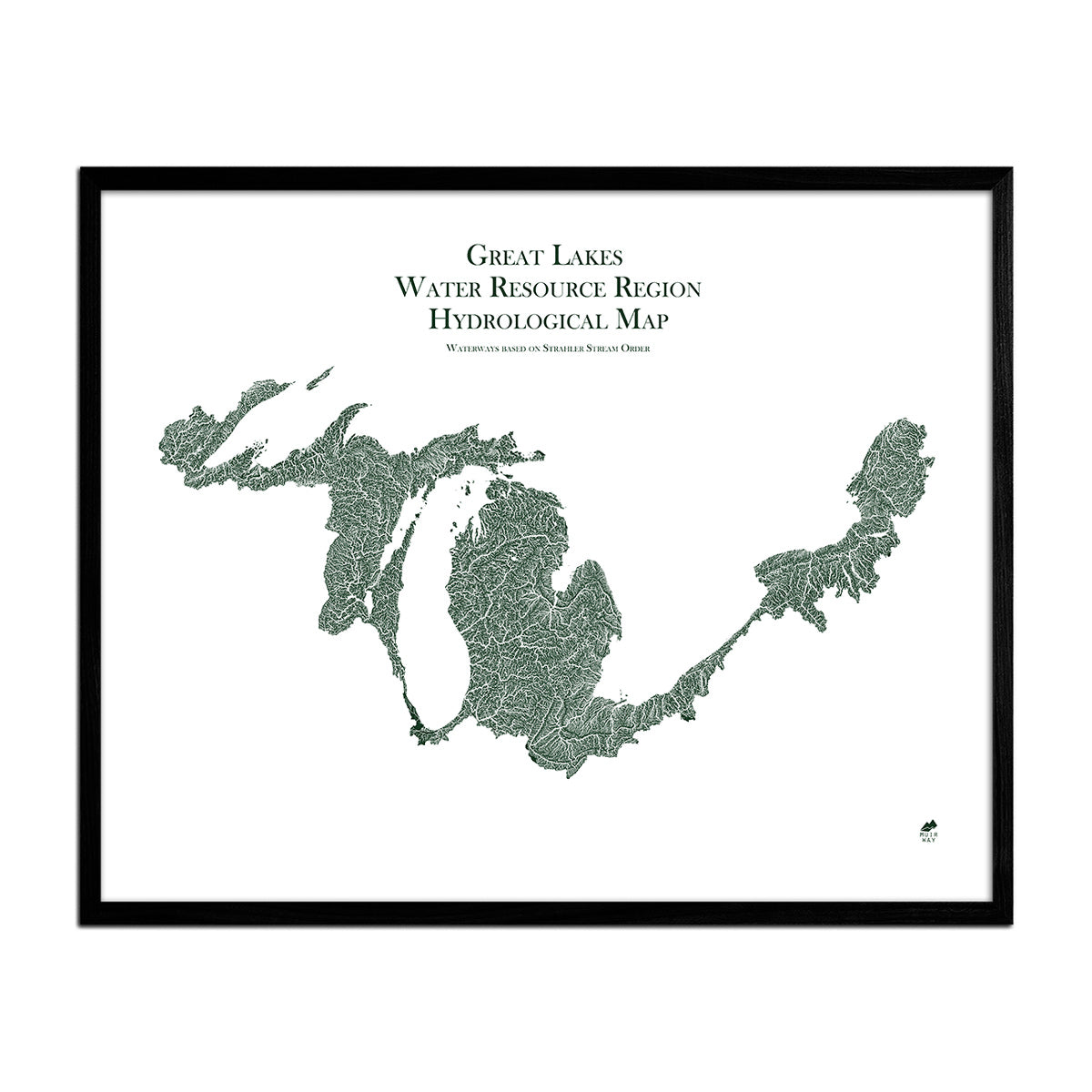
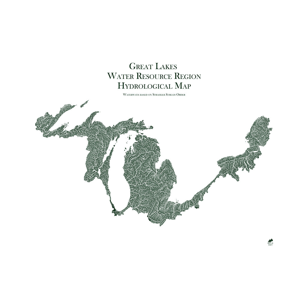
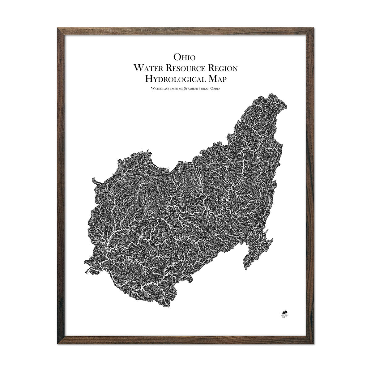
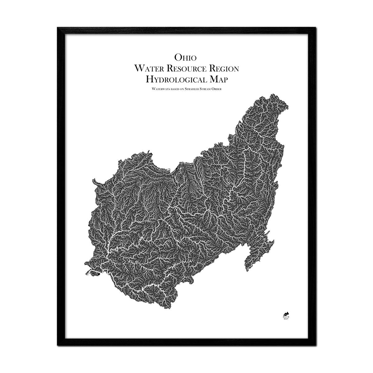
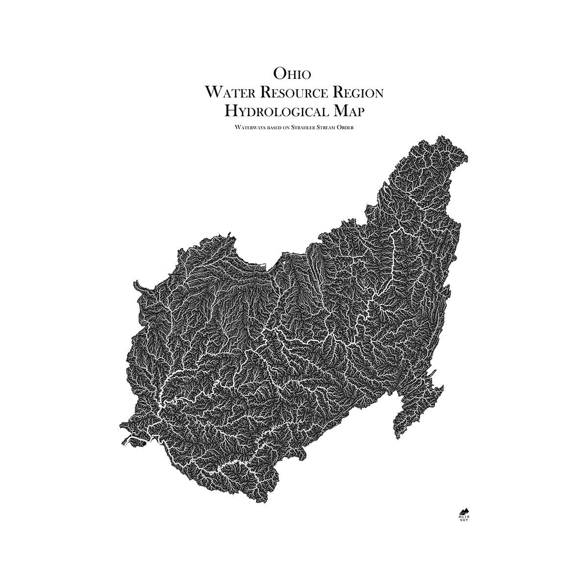
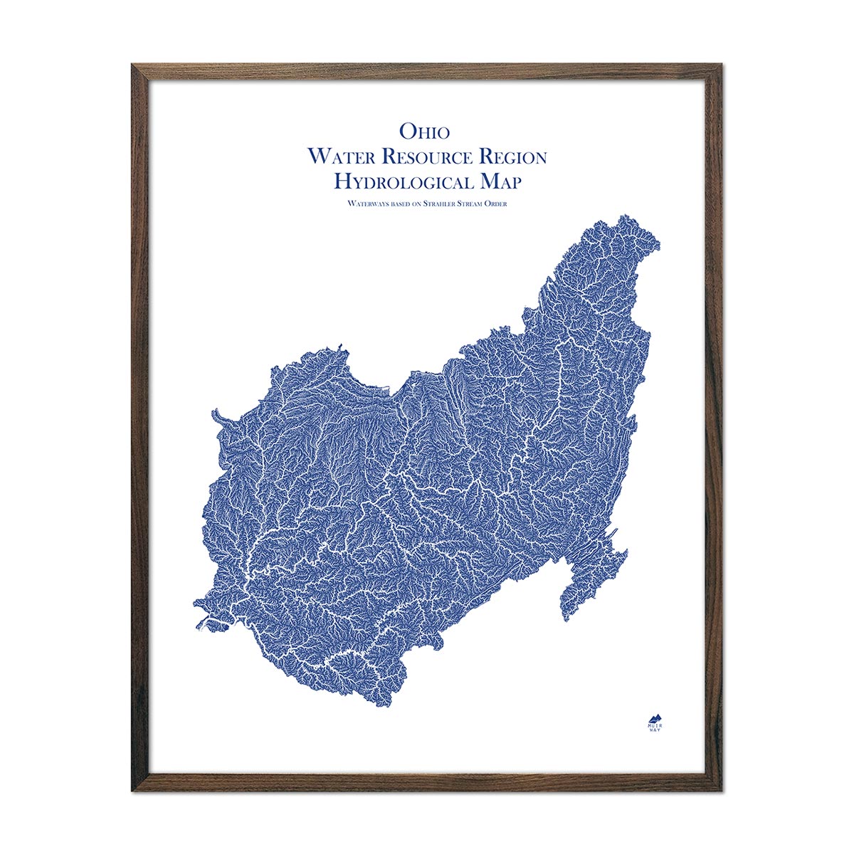
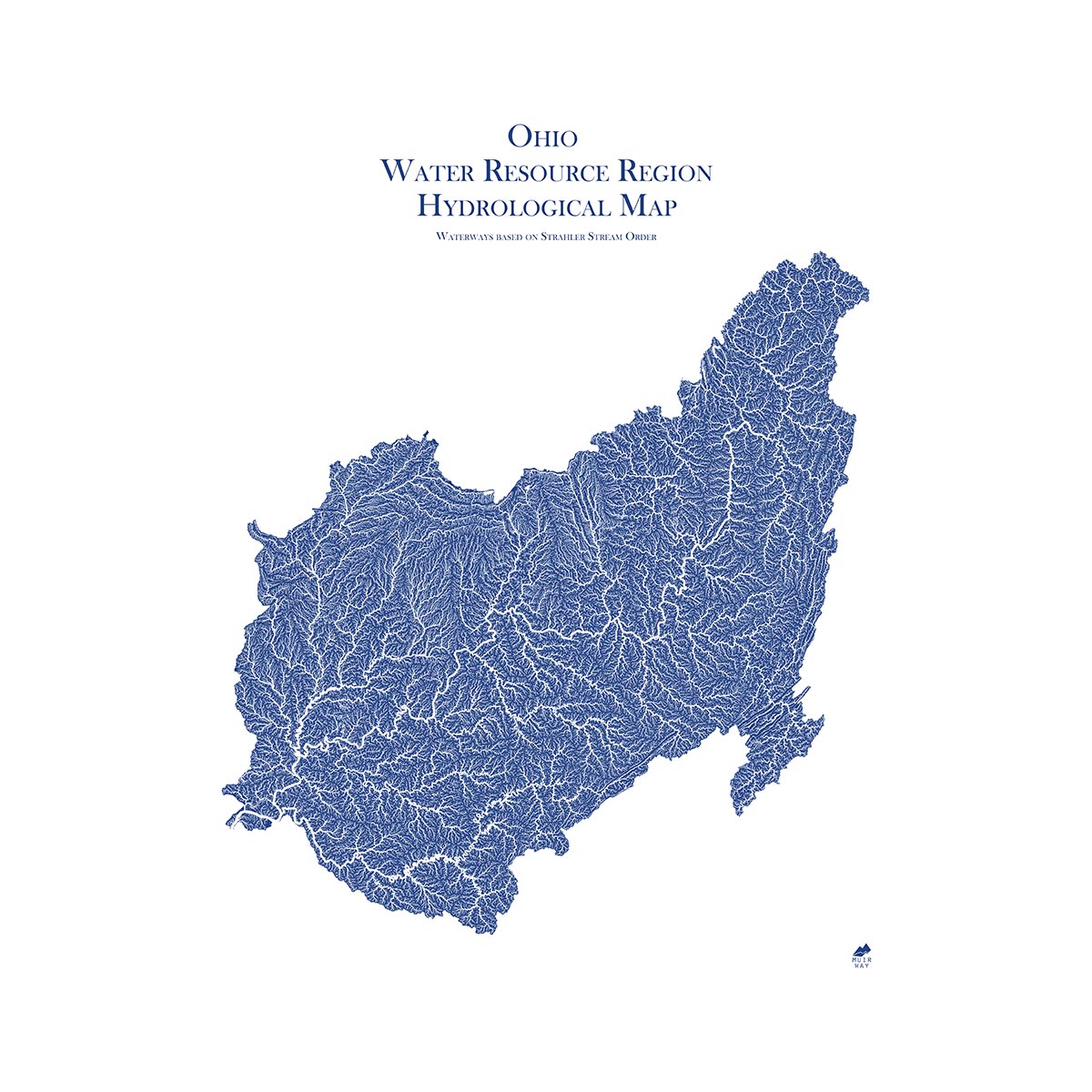
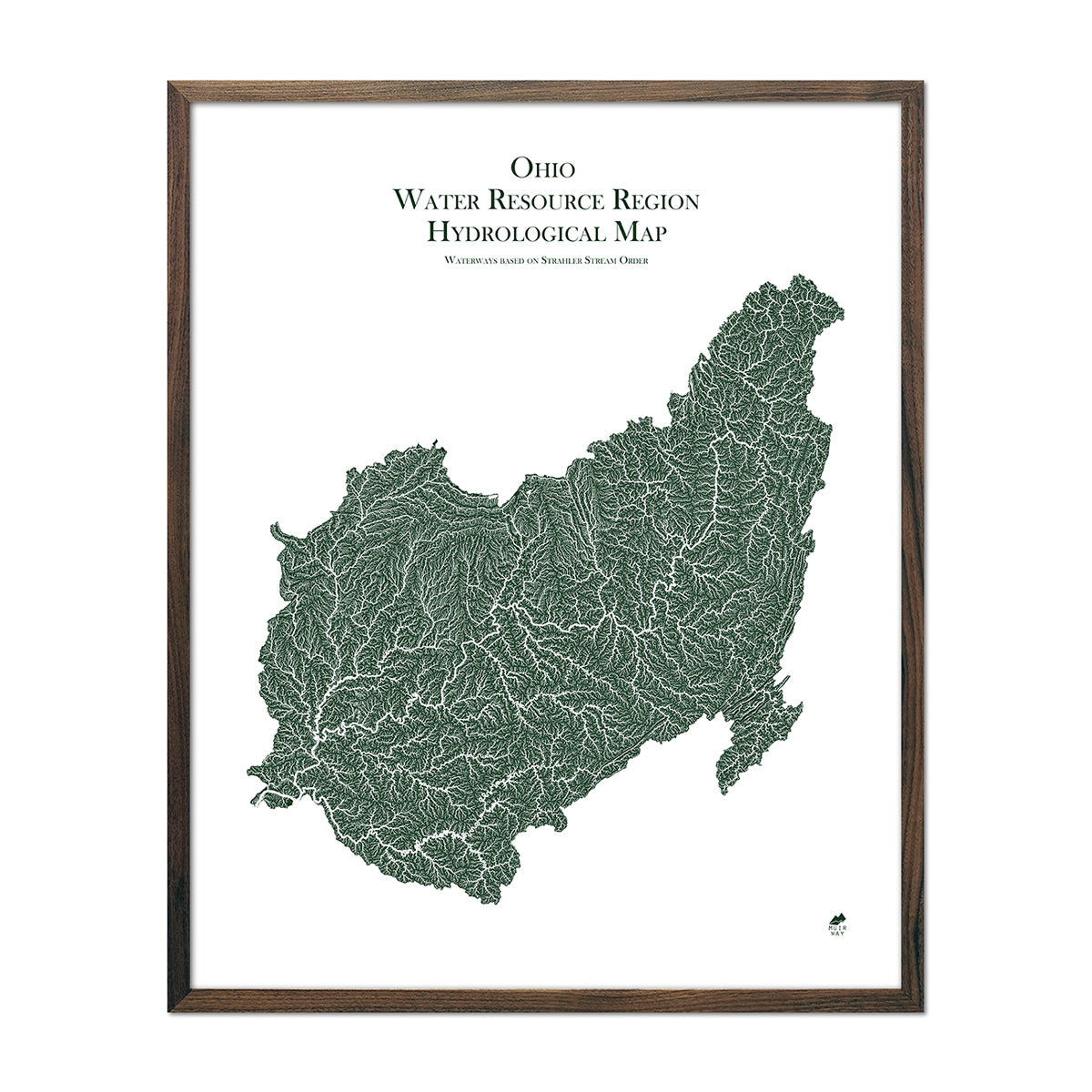
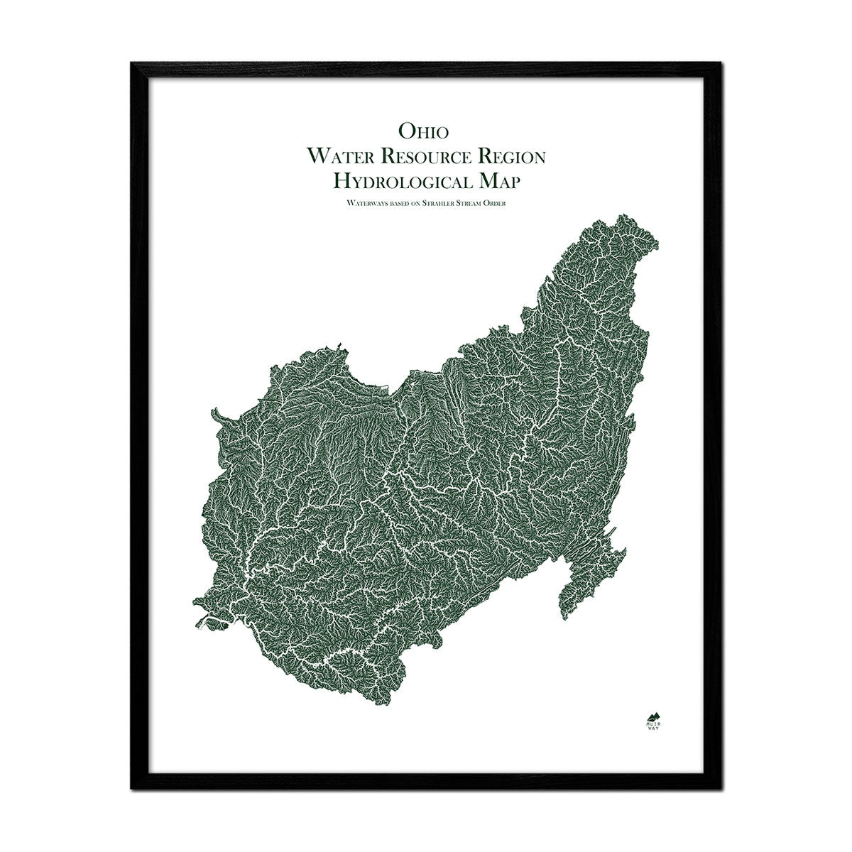
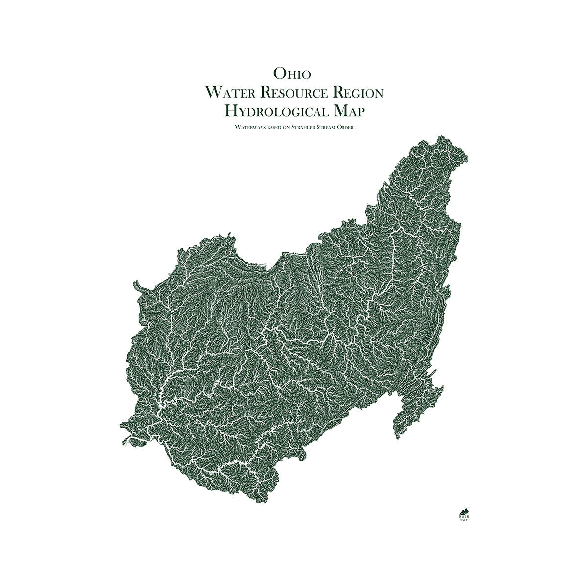
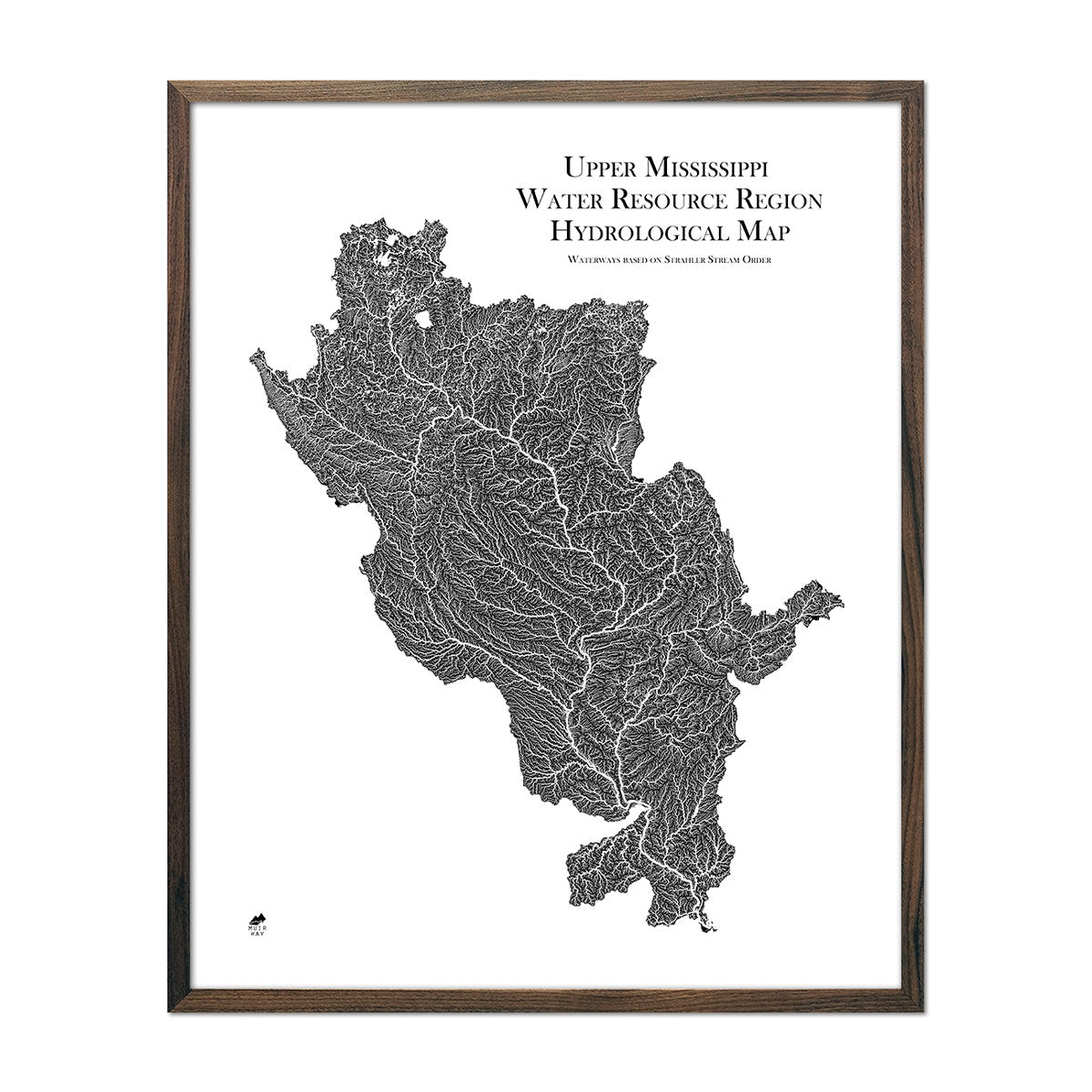
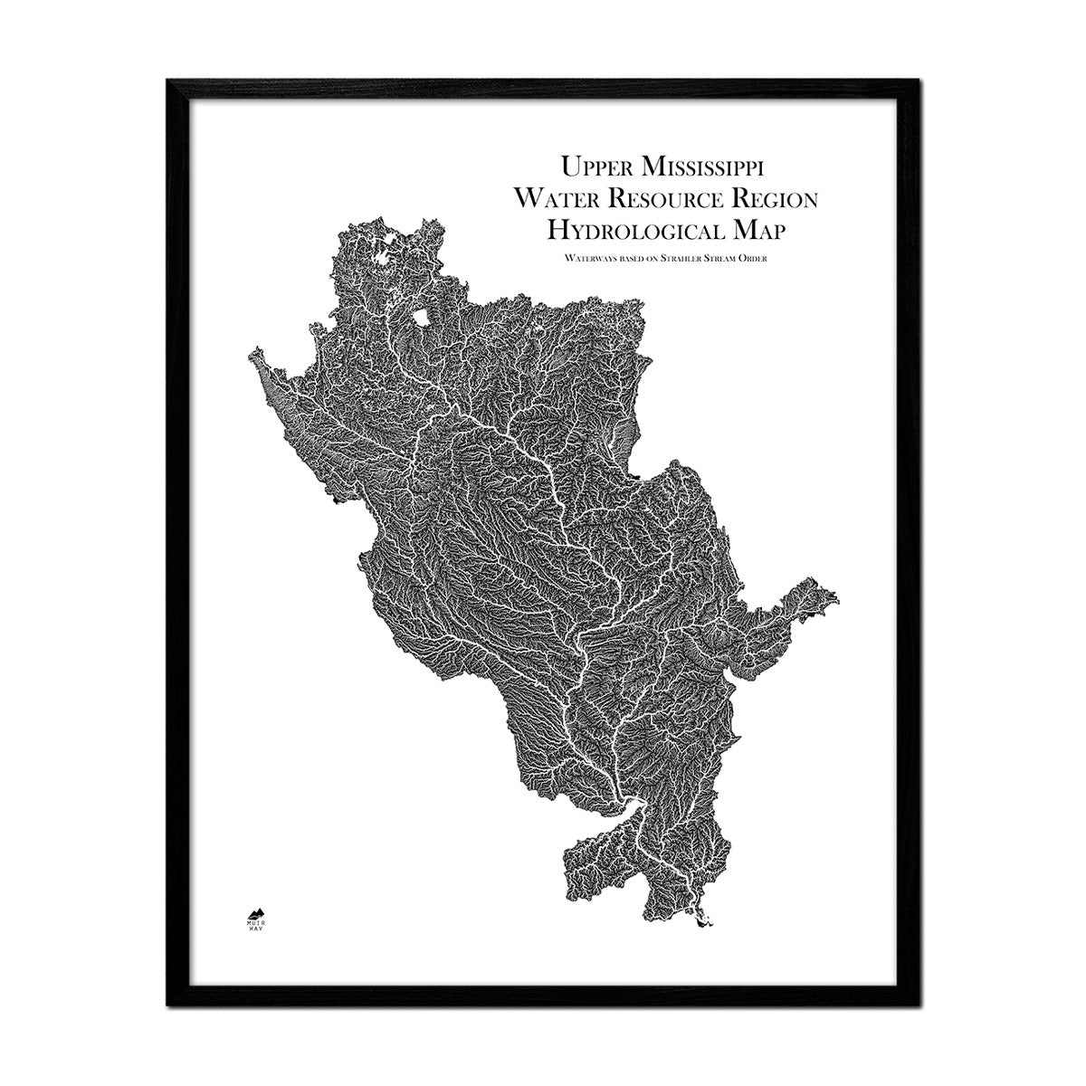
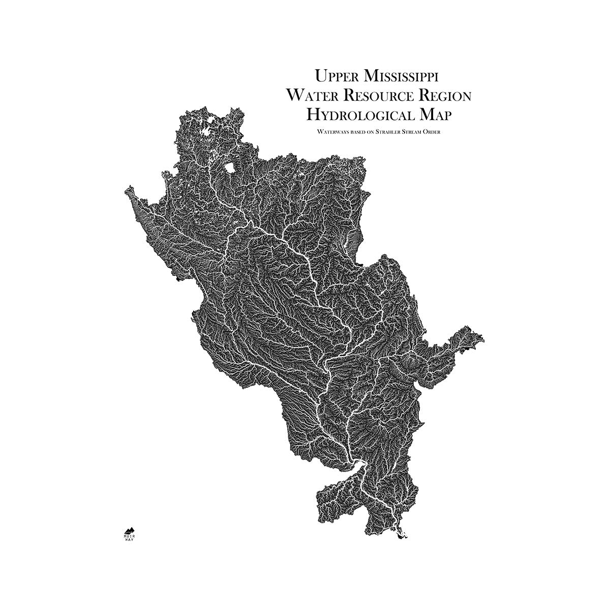
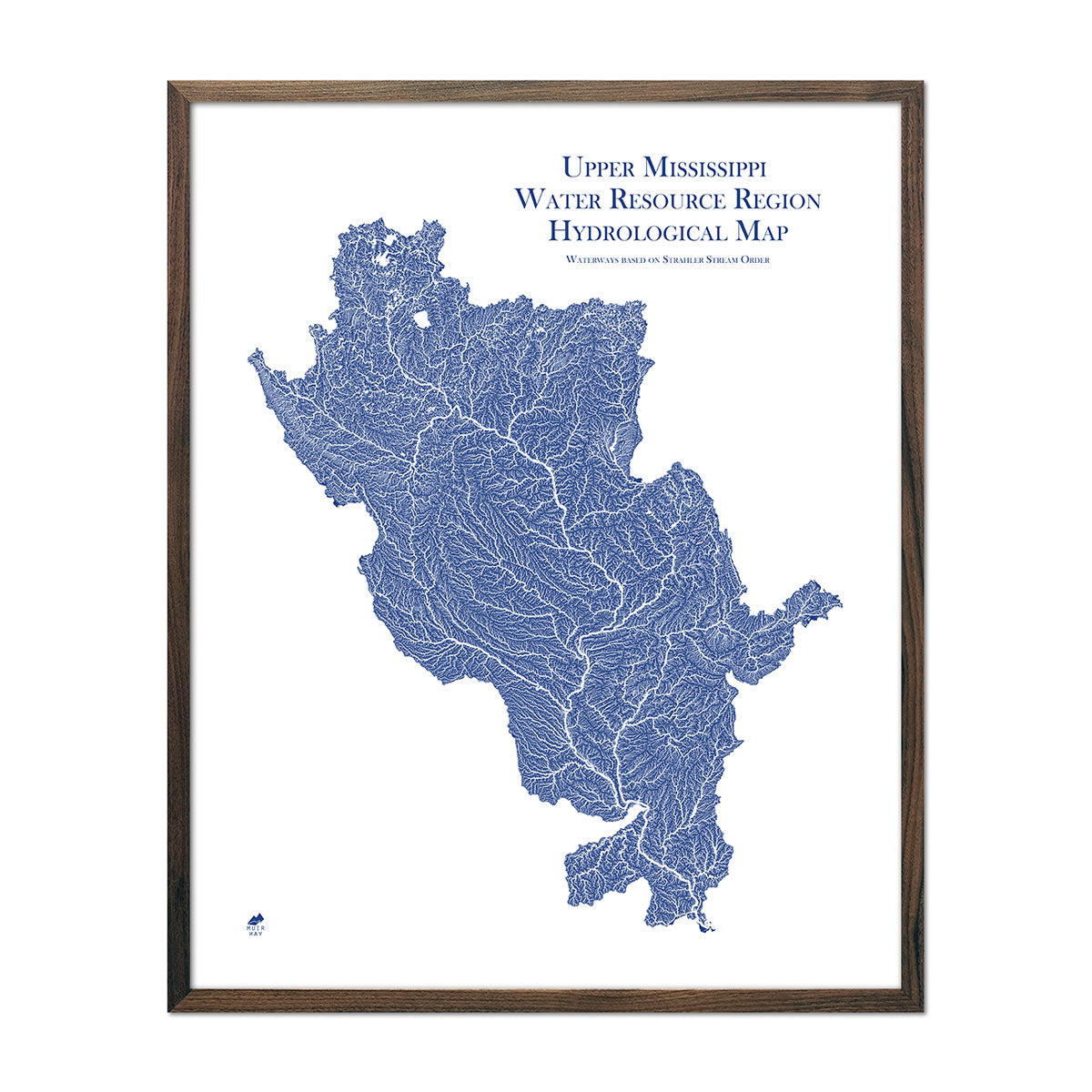
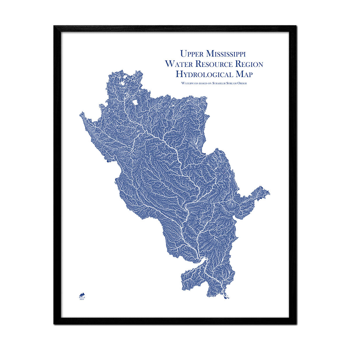
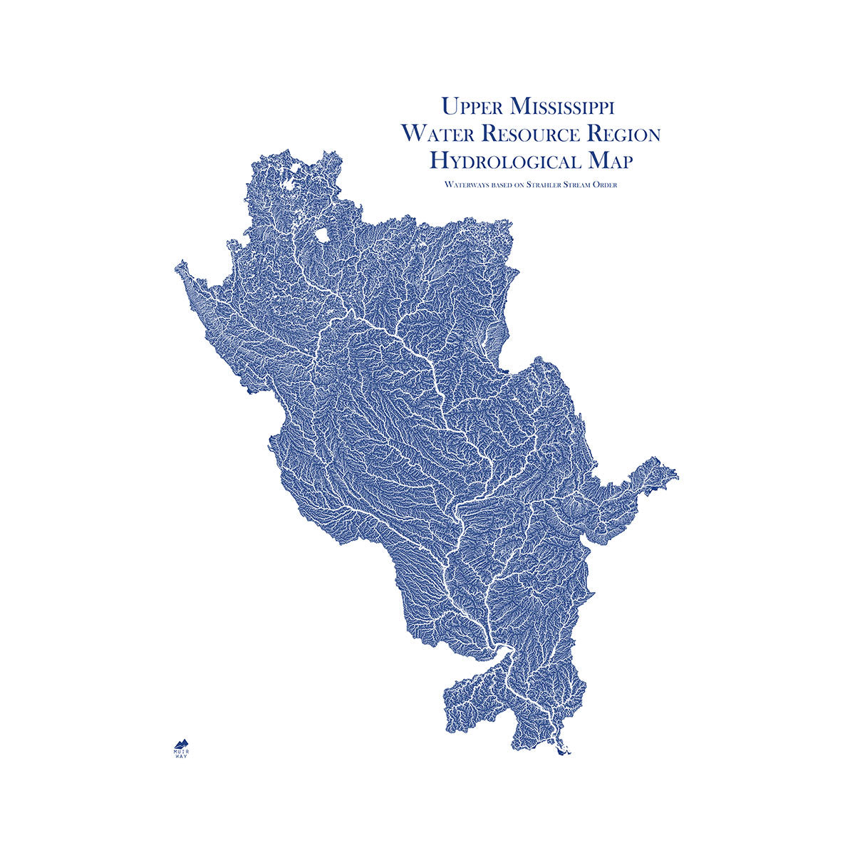
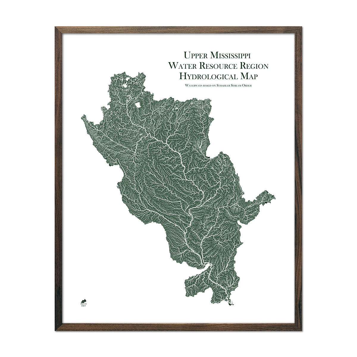
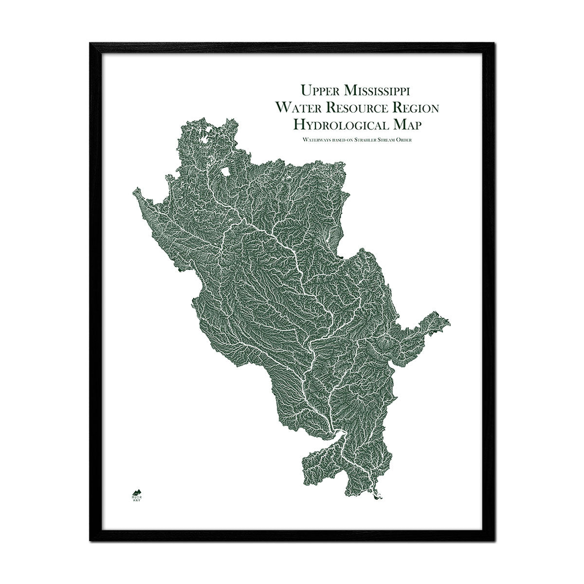
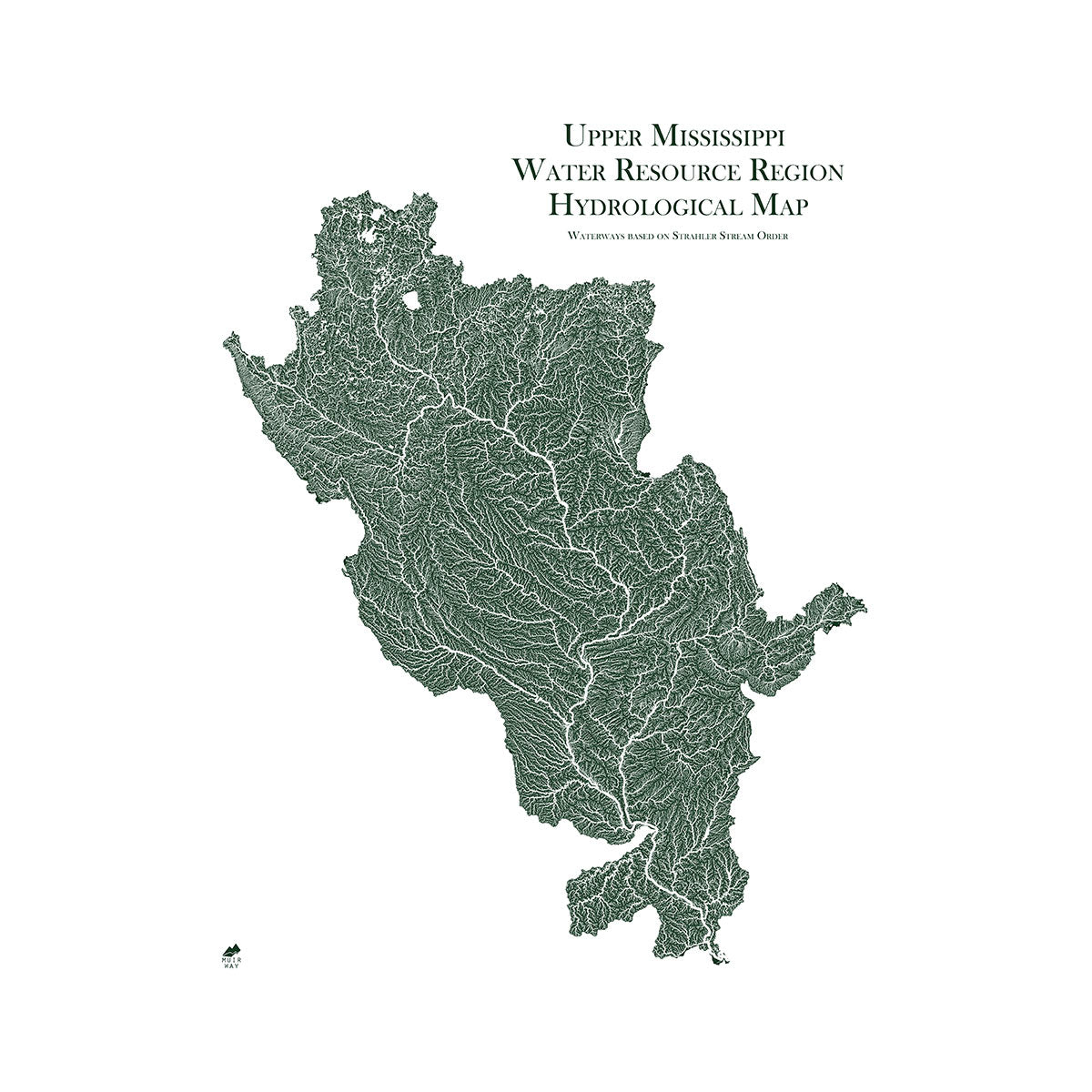
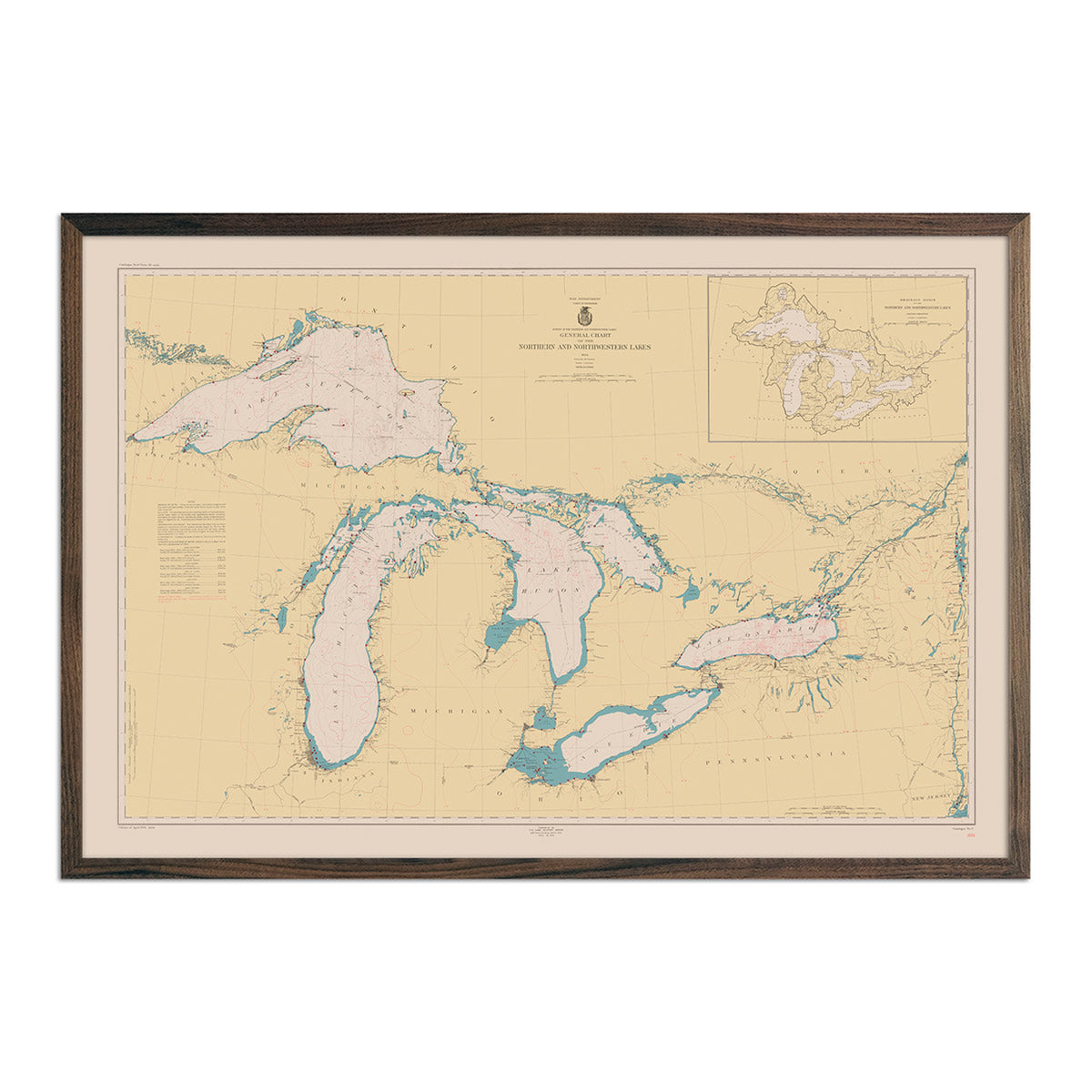
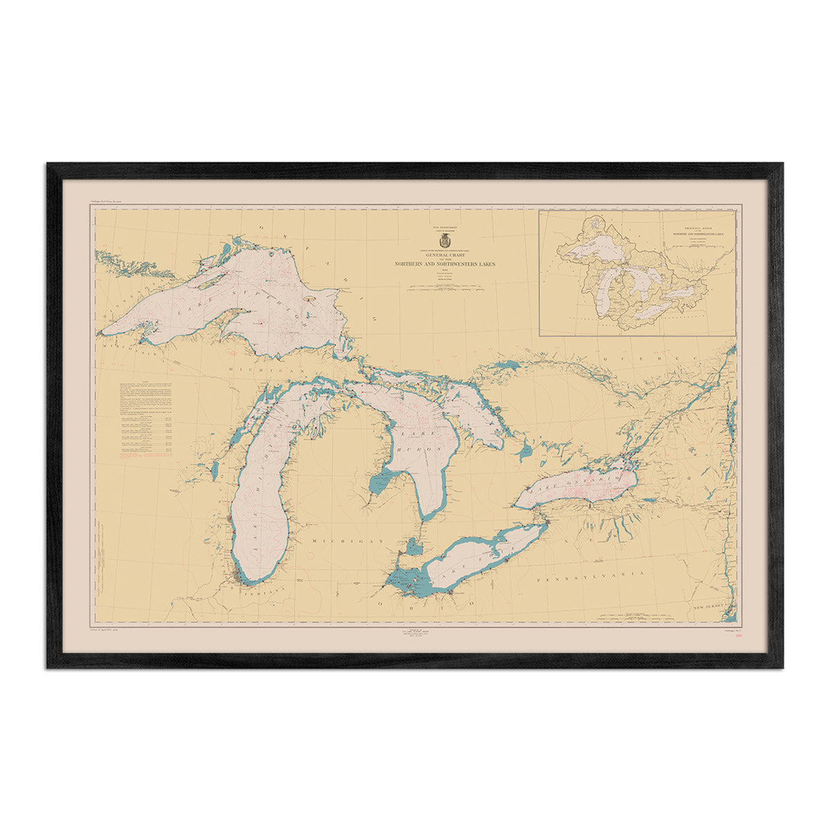
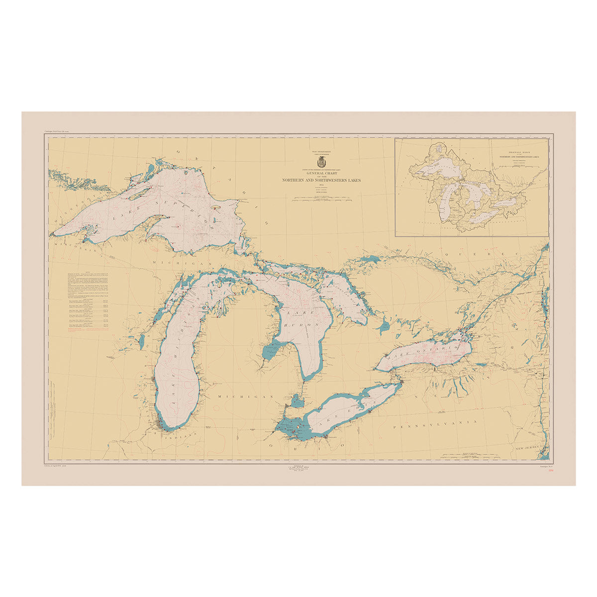
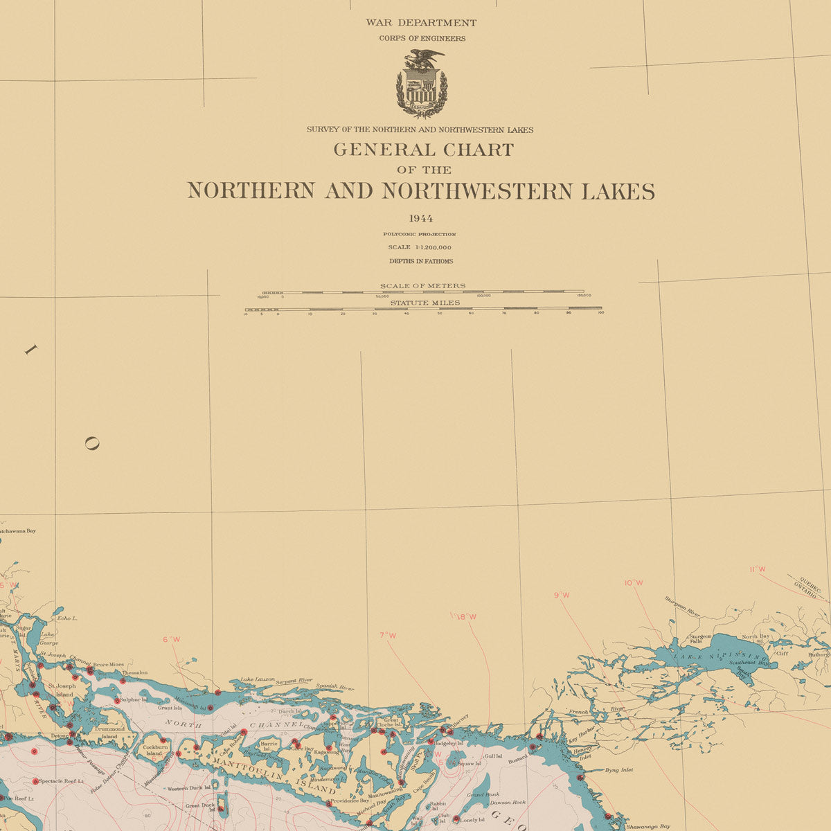
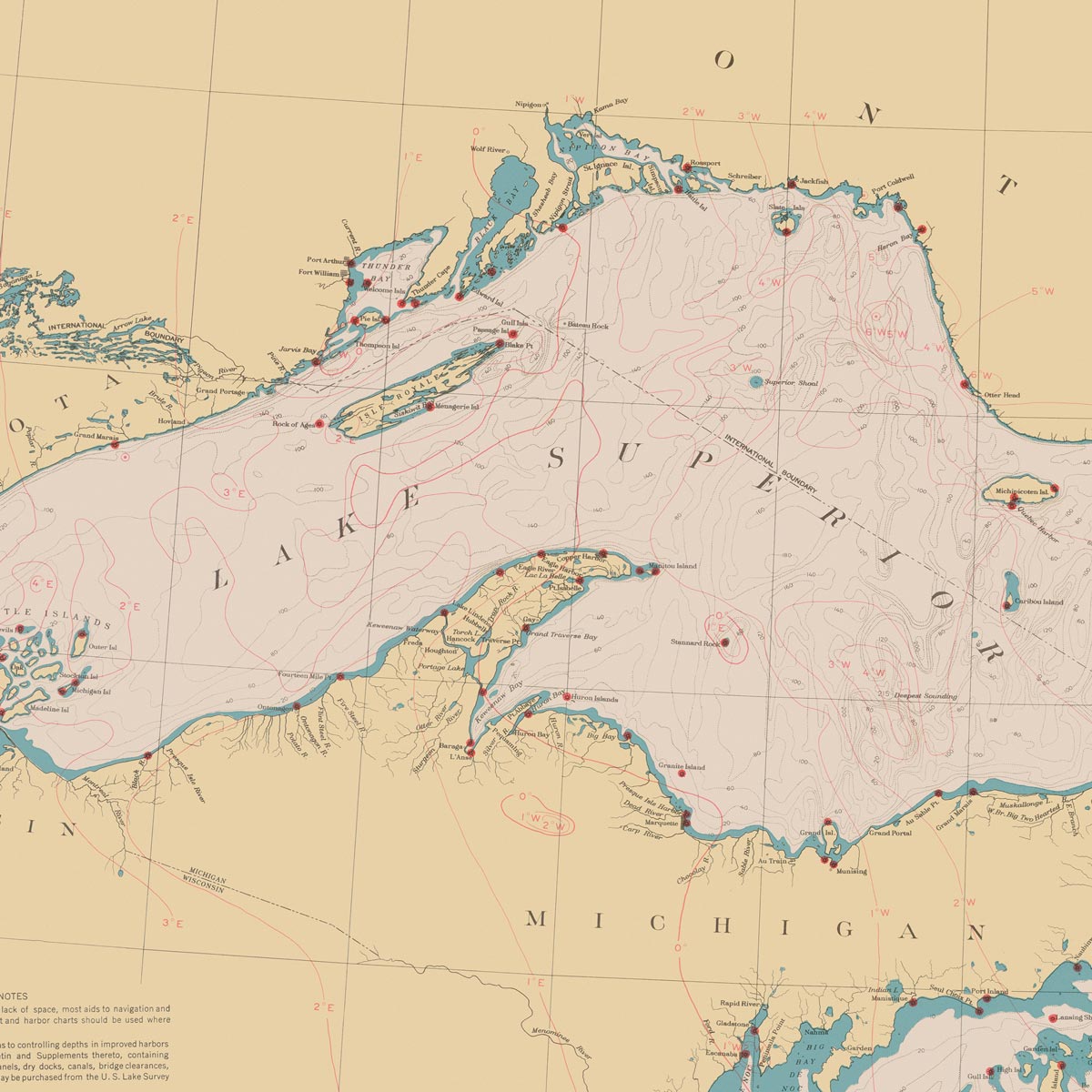
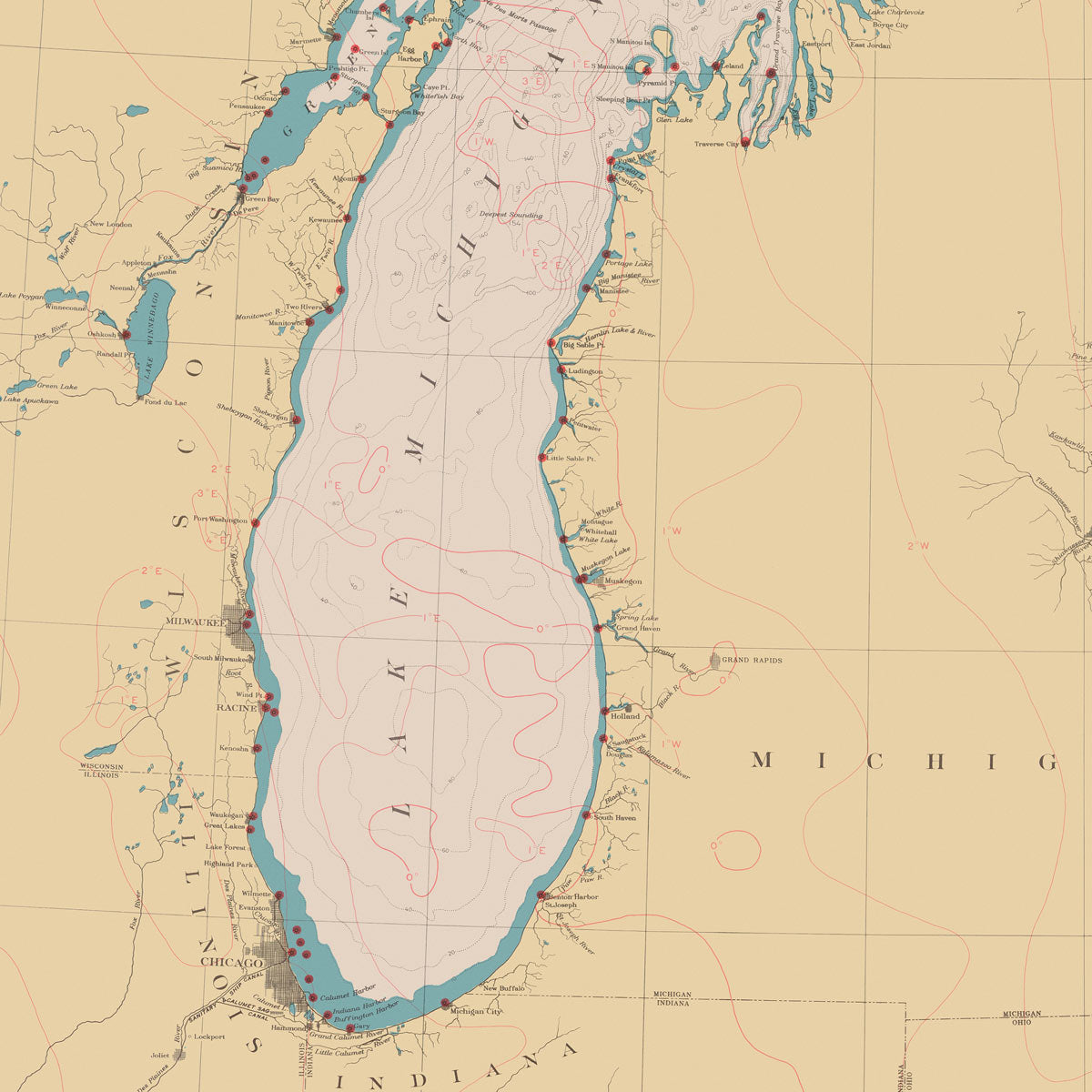
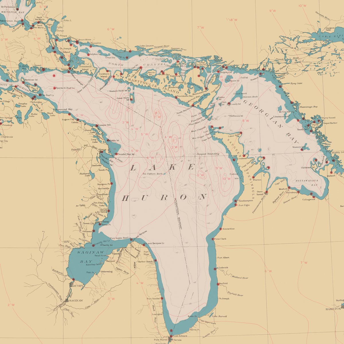
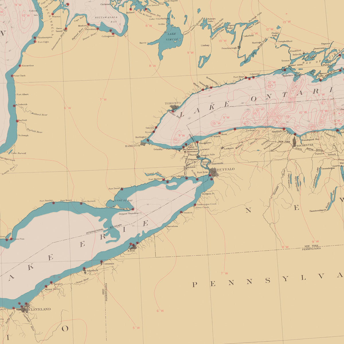
Indiana hydrological maps - Available in black, blue, and green. We have several hydrological maps that feature Indiana territory. Go with the traditional Indiana state hydrological map, or have a look at our Great Lakes regional hydrological map, Ohio Water Resource Region hydrological map, or our Upper Mississippi regional hydrological map.
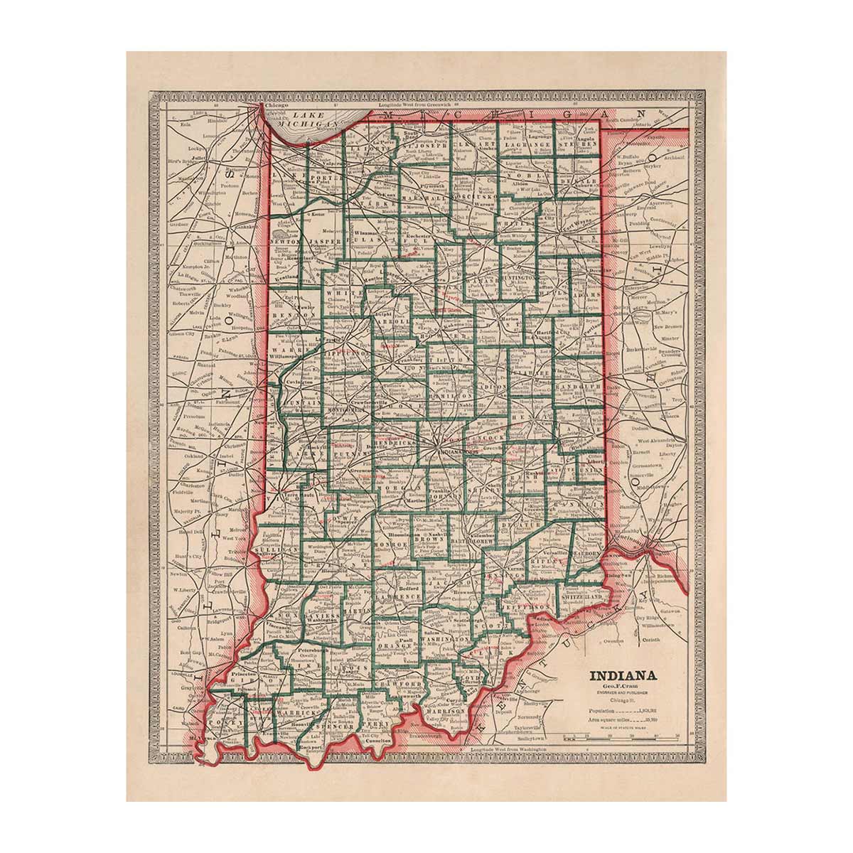
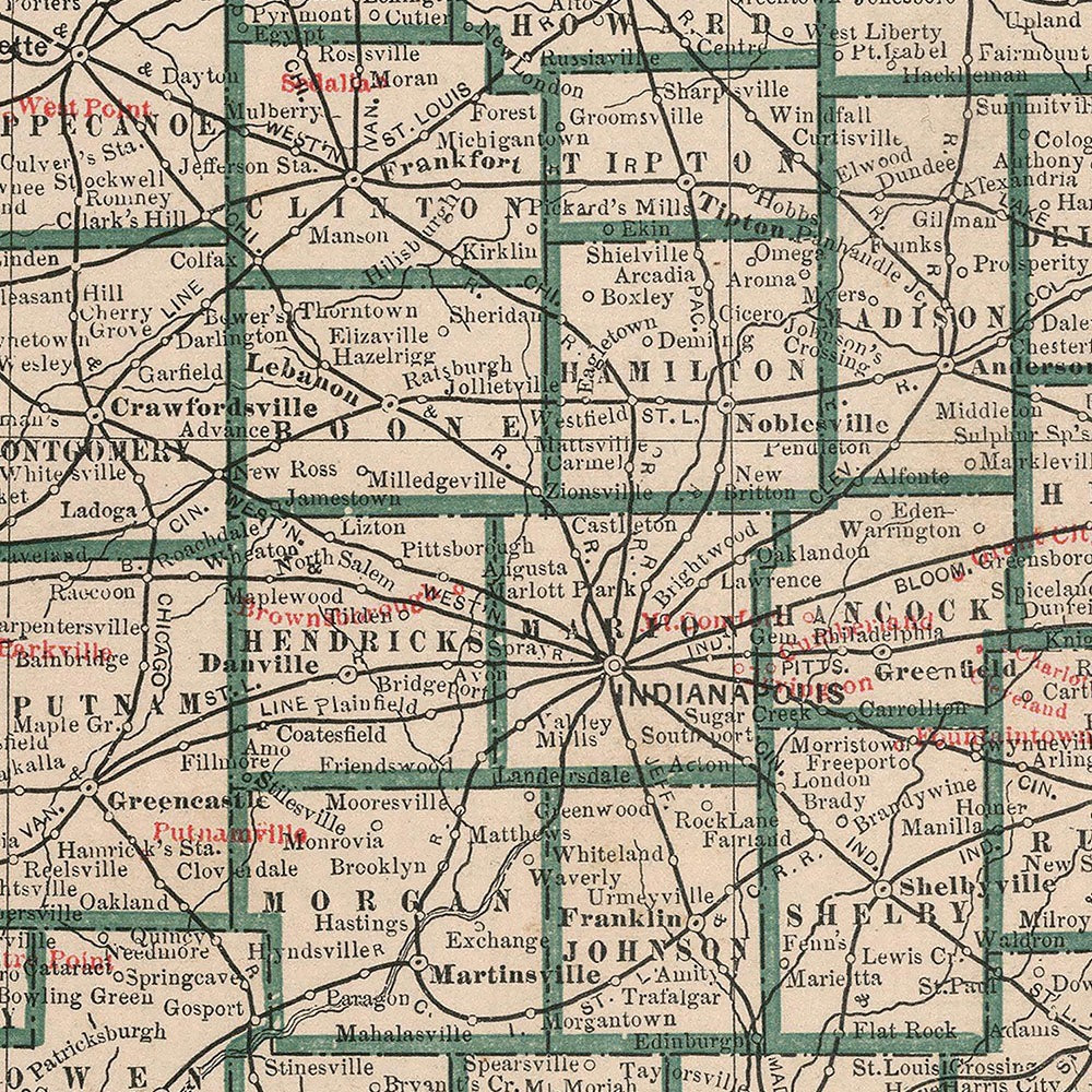
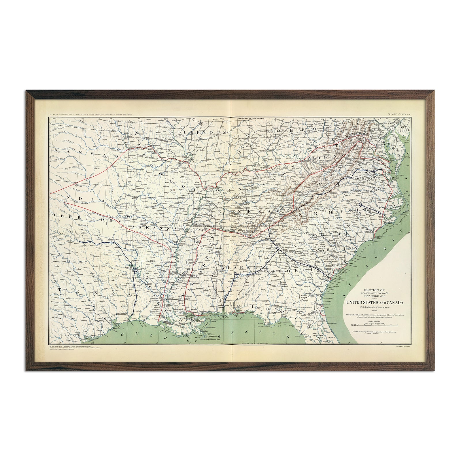
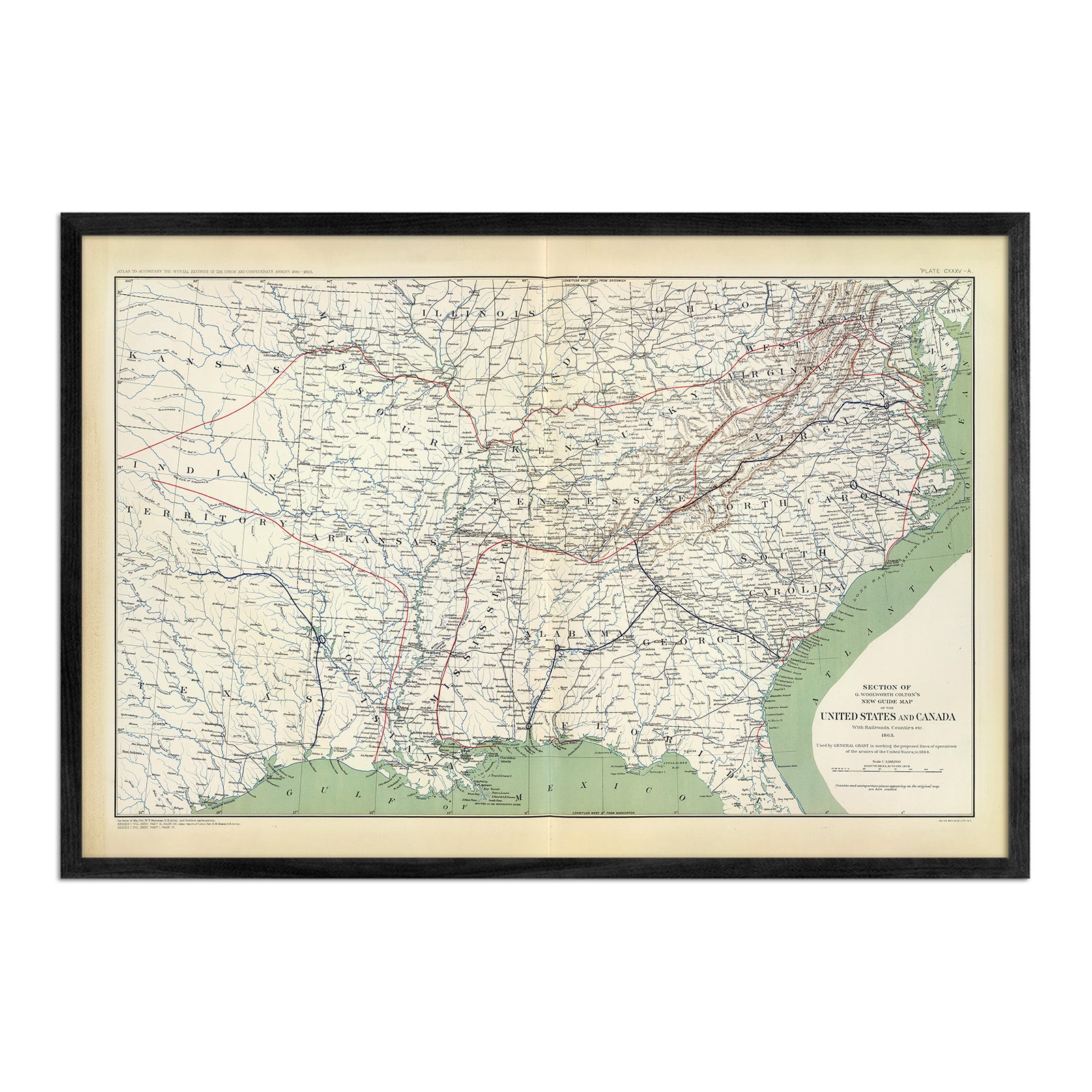
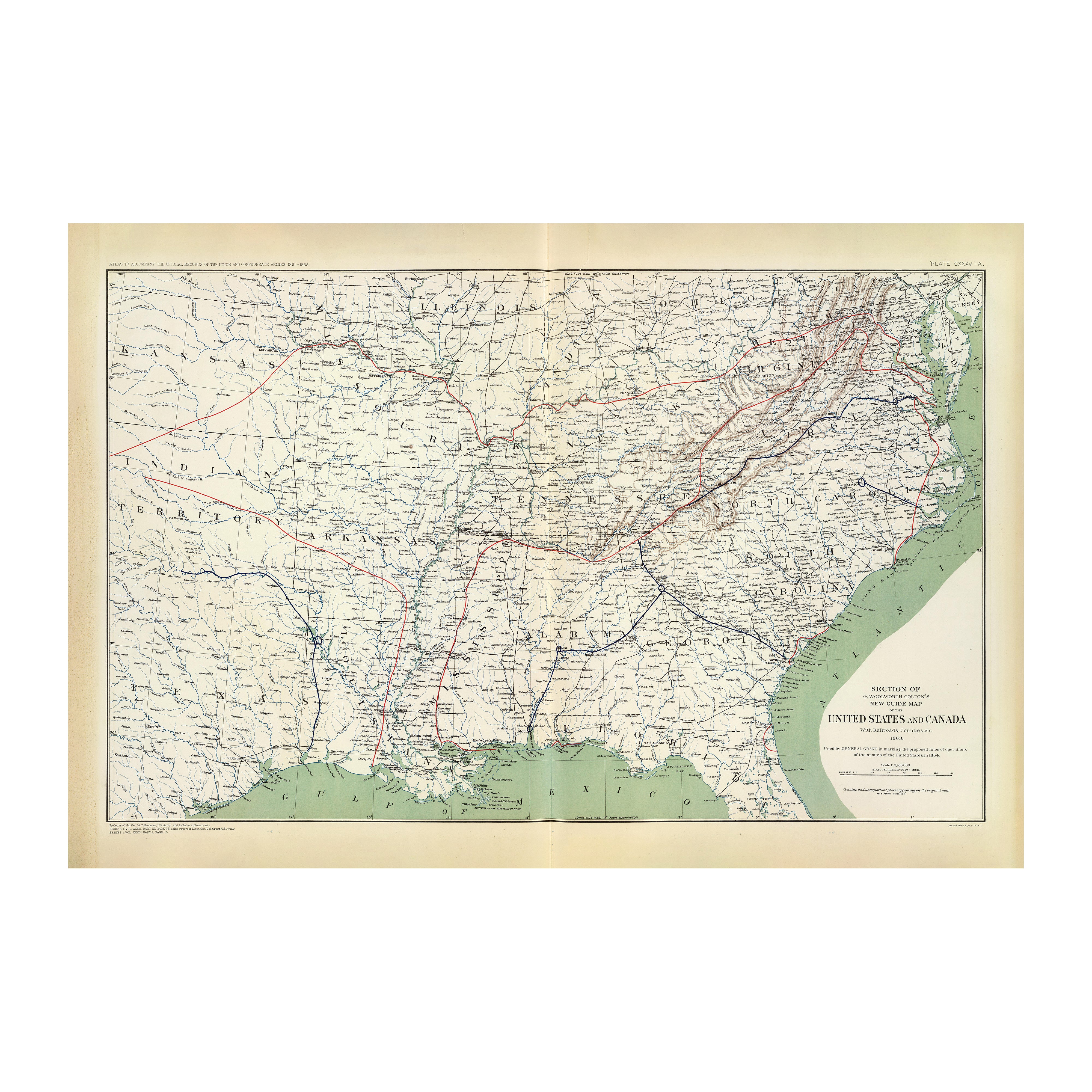
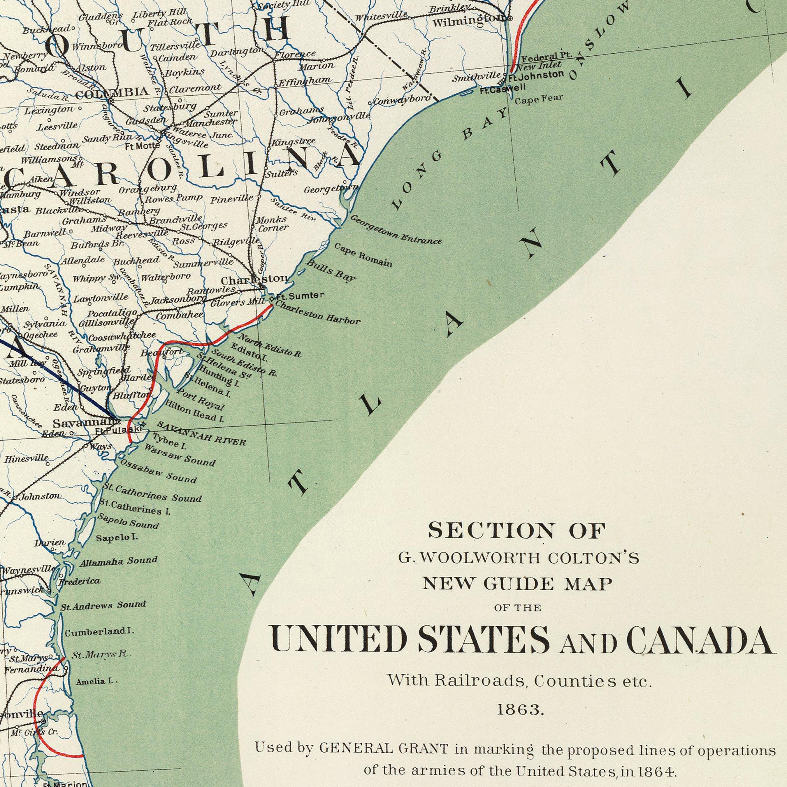
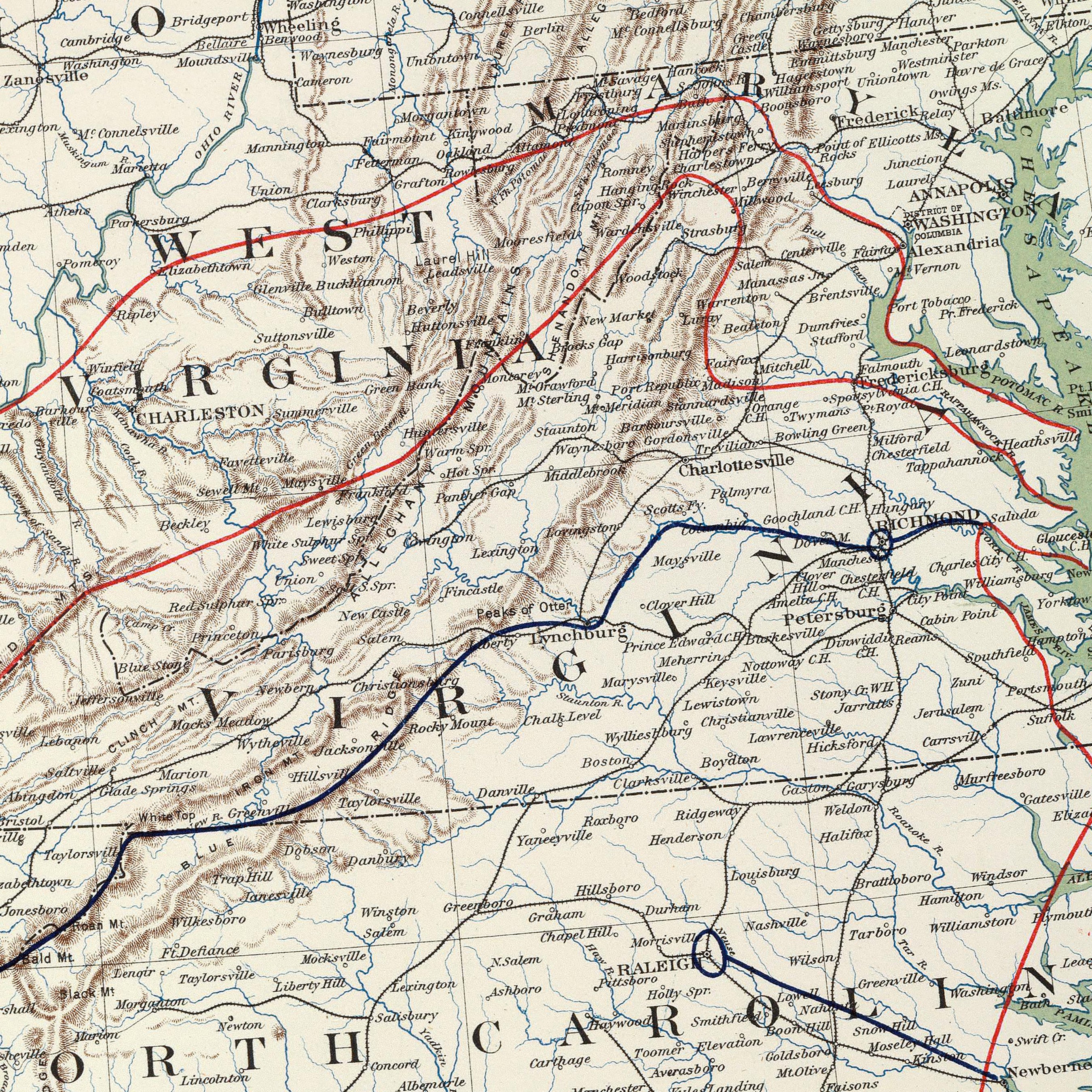
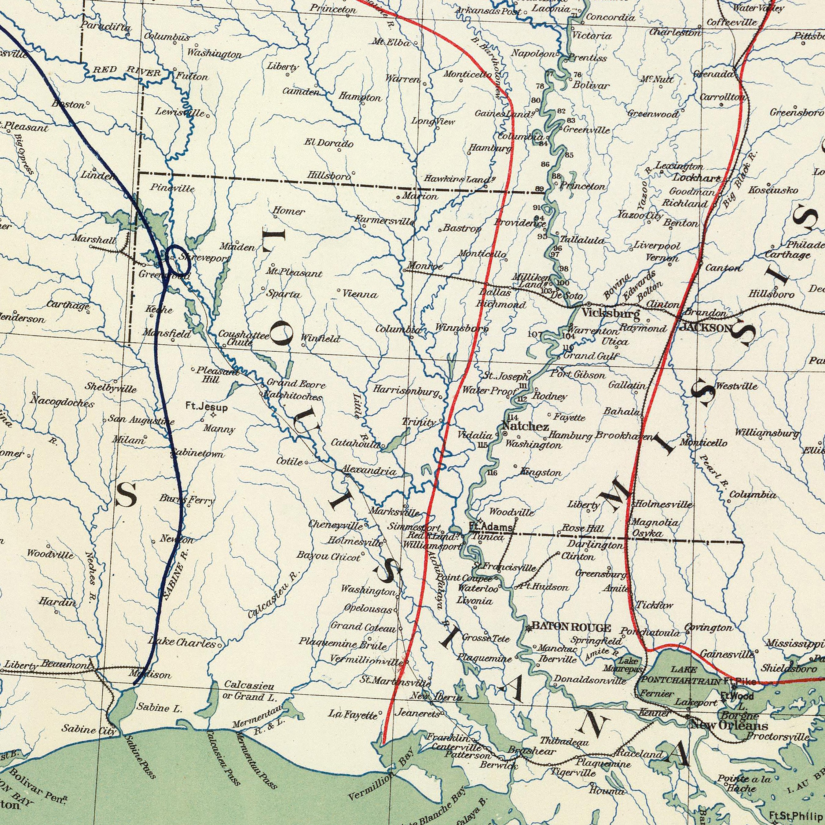
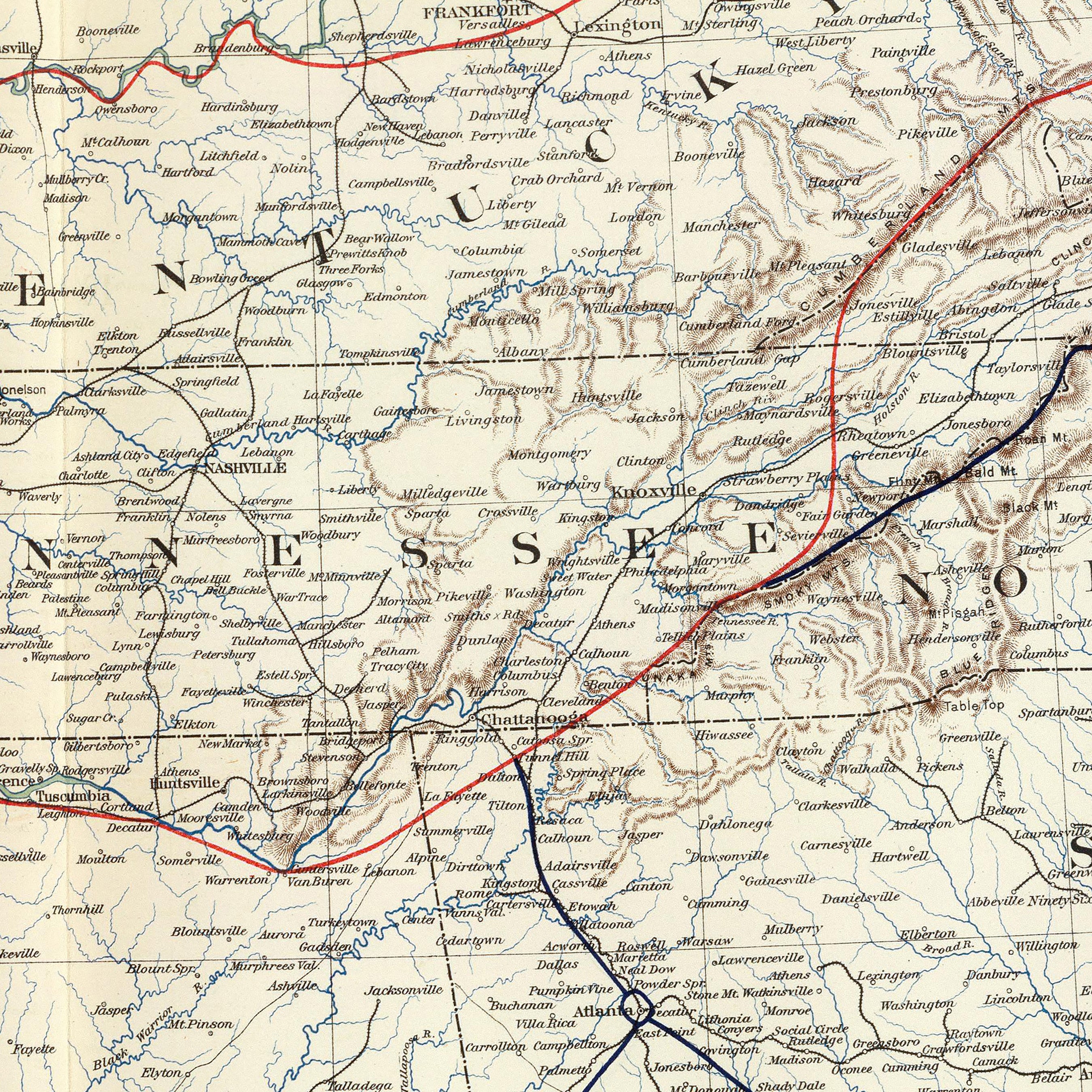
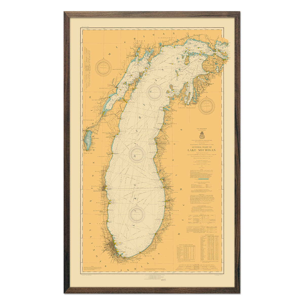
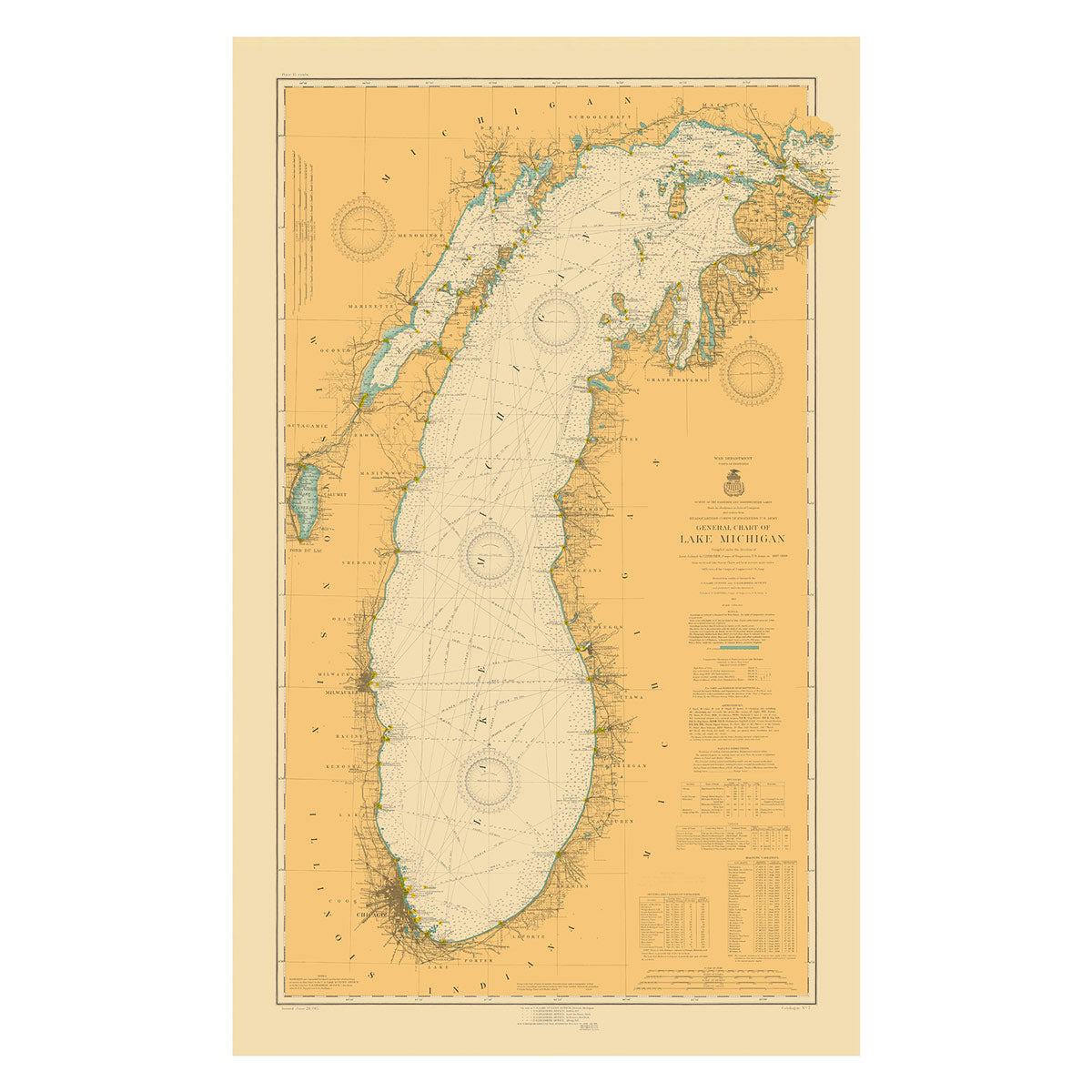
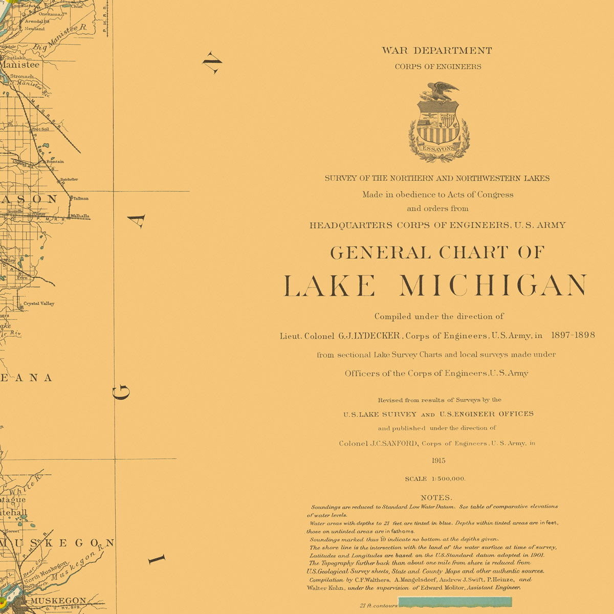
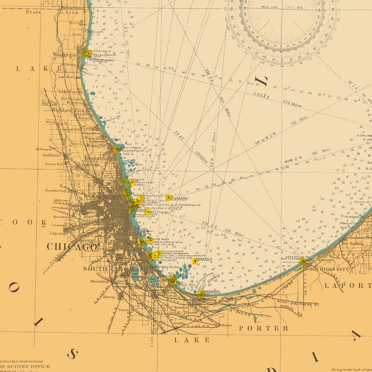
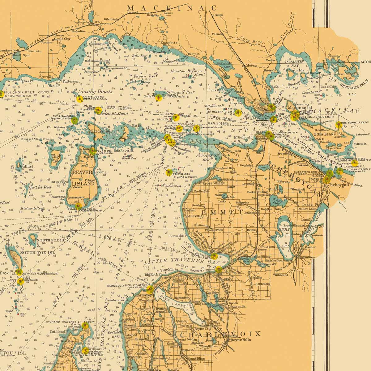
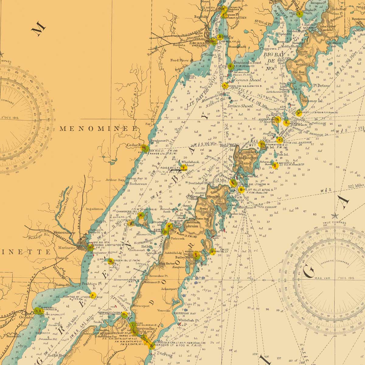
Enhanced vintage map of Indiana - If you like vintage maps, you’ll love our enhanced vintage Indiana map (1883). Unlike our relief map series, our historical maps don’t feature elevation, but what they do feature is a record of history beautifully printed and ready to display. Our vintage Indiana map takes imagery from a real 1883 vintage map showcasing the different counties in the state. We carefully restore the map’s details while preserving the vintage charm. As with all of our Indiana maps, our vintage reproductions come custom printed using archival materials.
What are some prominent features on the map of Indiana?
Known as the “Crossroads of America”, Indiana’s central location also yields a variety of topographical elements, including prairies, beautiful forests, rivers, and lakes. You’ll see a clear view of the elevation changes in Indiana’s landscape on our vintage relief map of Indiana. With over 550 square miles covered by water, Indiana’s rivers and lakes are best viewed on our hydrology maps.
Though it’s the smallest state (other than Hawaii) west of the Appalachian Mountains, Indiana’s three geological regions provide a lot to look at on our maps. No matter which Indiana state map you choose, you’ll enjoy an up-close look at a state known for its rich minerals, the Indie 500, and for producing the most popcorn of any state in the country.
What are the regions in Indiana?
Indiana has three separate geographical regions:
- The Great Lakes Plains - Also known as the Northern Lake and Moraine Region. The northern portion of Indiana. Along Lake Michigan, this region features sand dunes in the north and fertile black soil in the south perfect for crops.
- The Till Plains - Running through central Indiana, this fertile region is part of the corn belt and is characterized by low rolling hills and valleys.
- The Southern Plains and Lowlands - Encompassing the southern portion of Indiana, this region has the widest range of elevation, characterized by steep hills known as knobs, and the valleys in between them. Indiana is known for its rich mineral deposits and this region is home to limestone caverns carved by underground streams.
If you like our collection of Indiana maps, you may also be interested in maps of other Midwest states. Click below to browse:


