


Kentucky Maps


Kentucky Map Prints, Hydrological & Shaded Relief Maps
Whether you’re from Kentucky or just like to visit, our custom printed Kentucky wall maps will bring the charm of the American South to your home or office. From our eye-catching elevation maps and geological relief maps to our handcrafted enhanced vintage and historical maps, every map of Kentucky we offer reflects the high quality and attention to detail our customers have come to love and expect from Muir Way.
What makes Muir Way maps of Kentucky unique?
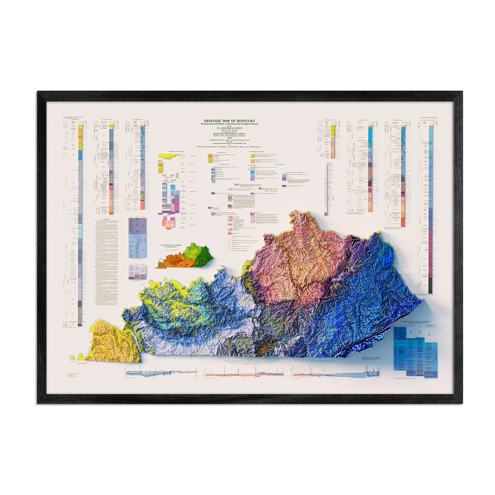
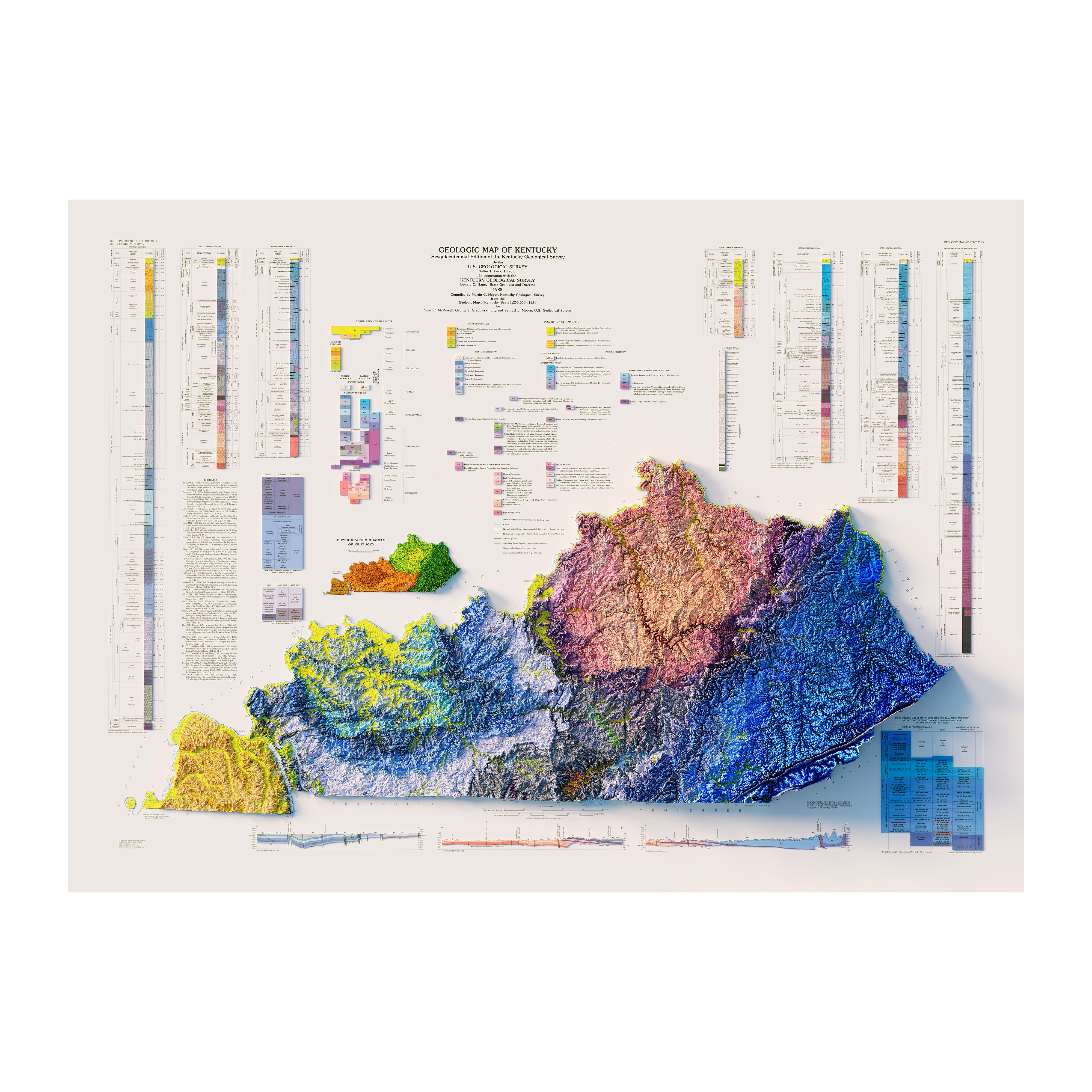
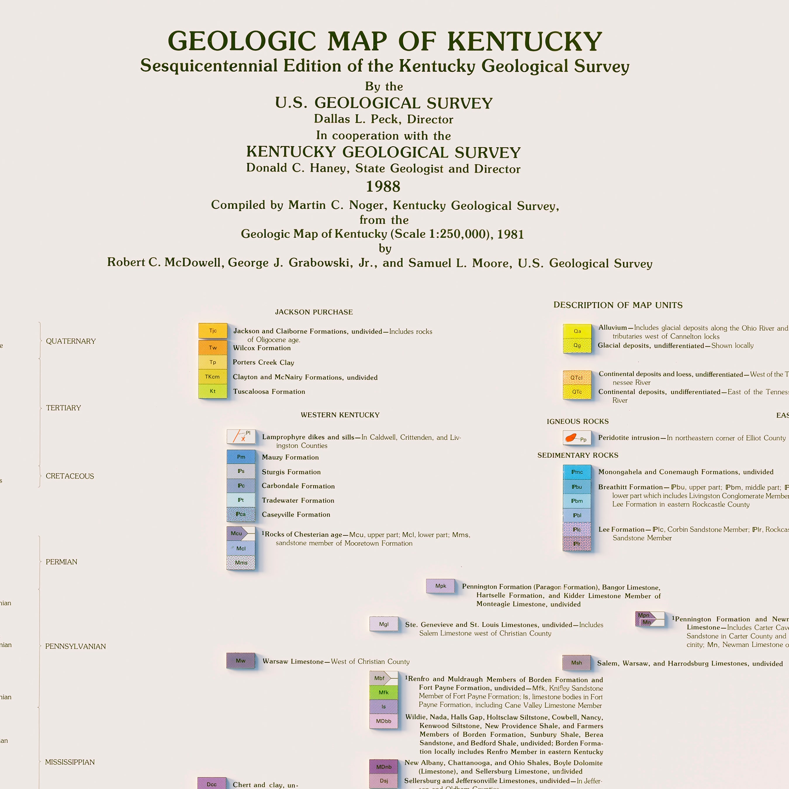
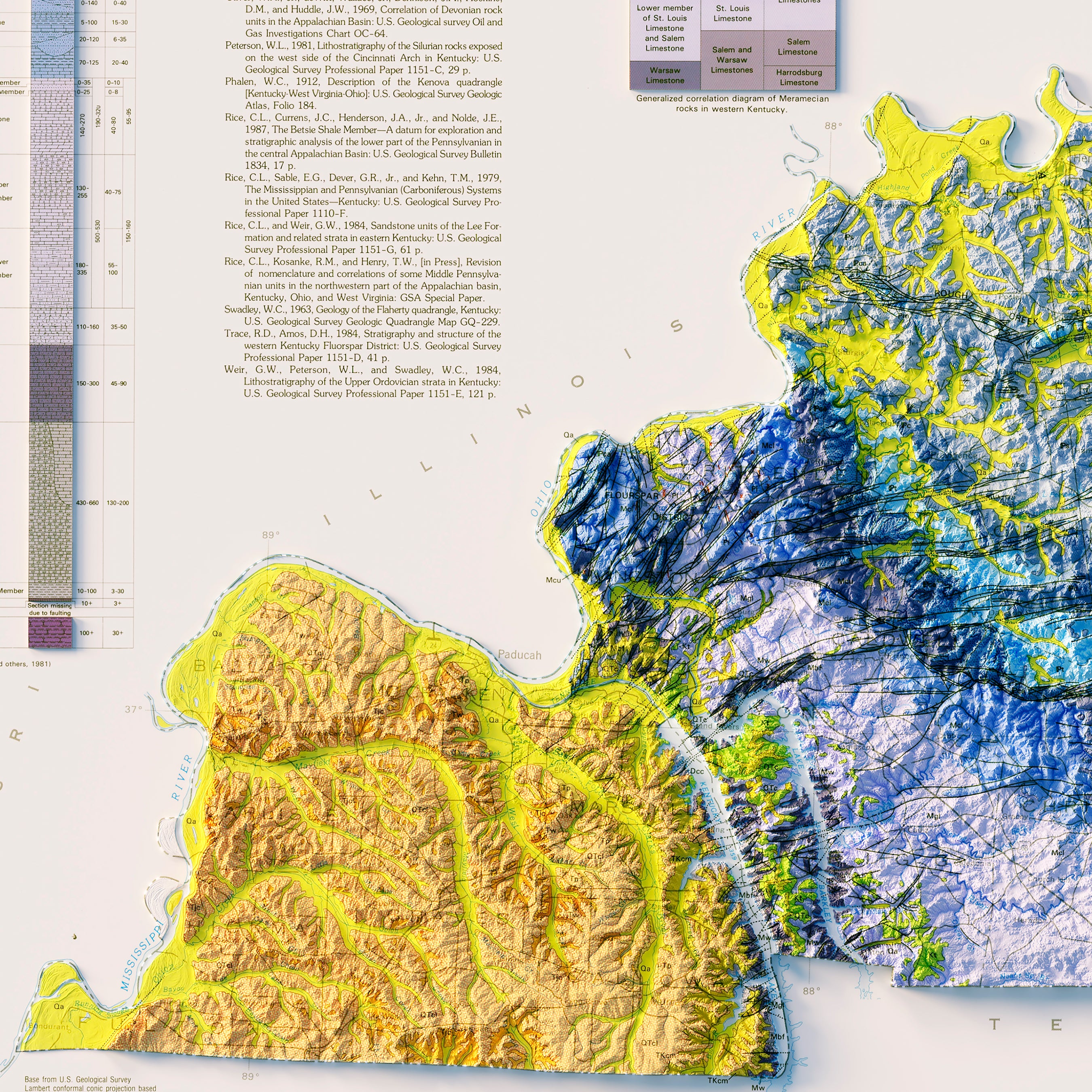
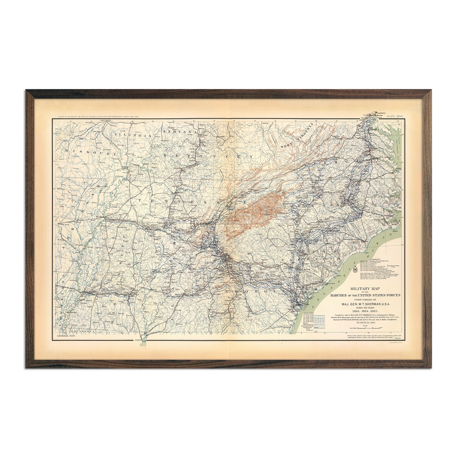
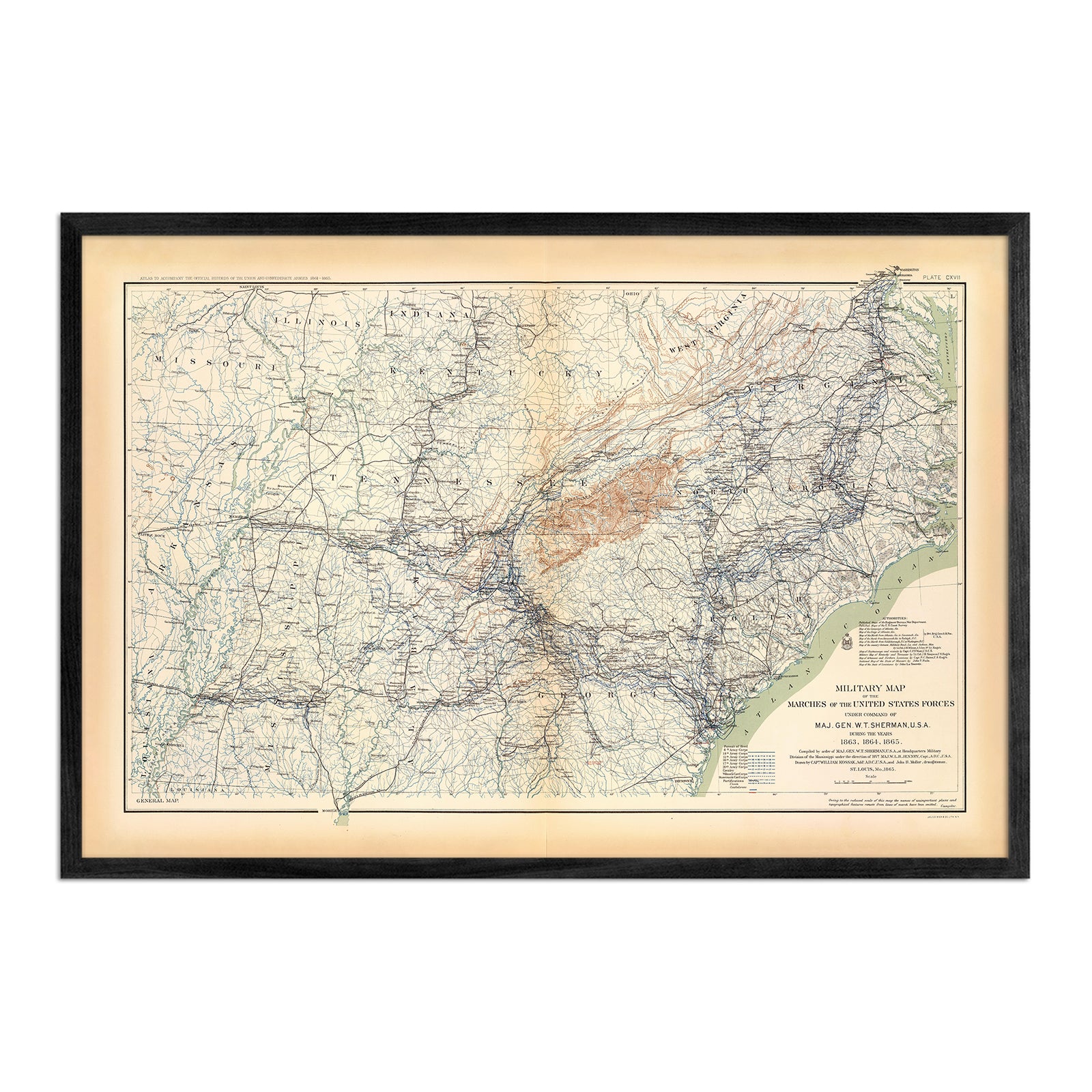
When you purchase a Kentucky wall map from Muir Way, you are not getting a rolled up poster or mass-produced print. We custom print every Kentucky map using archival inks and fine art paper certified to last 100 years. The artwork on our maps is designed to enhance the beautiful terrain it features. For example, our elevation maps combine hand-shaded relief and Digital Elevation Data with historical map terrain, creating a stunning 3D effect on a flat surface. Our high-contrast hydrological maps depict every river in the state--even intermittent streams--and every body of water over 0.2 miles in diameter. When you purchase a map from Muir Way, you are purchasing heirloom-quality artwork to last for generations.
Does my Kentucky map come framed?
All of our maps are available framed or unframed. If you’d like to order your Kentucky wall map framed, you can choose from several different colors and wood finishes, and your map will arrive professionally custom-framed and ready to hang. If you’d prefer to use your own frame, all of our maps come in standard sizes for easy gift giving.
Does a Muir Way map of Kentucky make a good gift?
Muir Way wall maps make great gifts! Our custom-printed maps of KY make the perfect gift for anniversaries, weddings, college graduations, winter holidays, or as a thank-you gift for someone special. Our Kentucky maps also make beautiful corporate gifts that will leave a lasting impression and remind your clients or colleagues of you every time they see it.
Where should I display my Kentucky map?
Whether placed as the main focus of your office or an accent in a family room, our maps are designed to catch your eye from any distance. You can display a large wall map in the center of the wall, or purchase several regional maps and arrange them near each other for a complementary series. Our hydrological maps come in several colors, and our geological relief maps feature a variety of rich colors. No matter which you choose, you’re sure to find a map that will look right at home with your décor.
What are the different types of maps of Kentucky available on Muir Way?
Our Kentucky maps are available in several different styles, including:
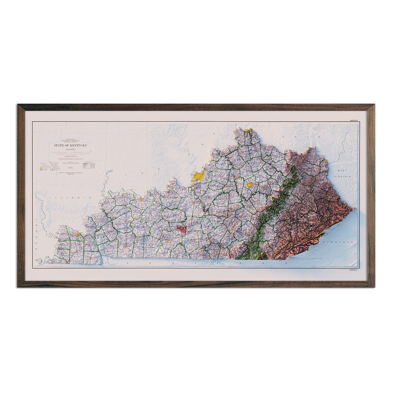
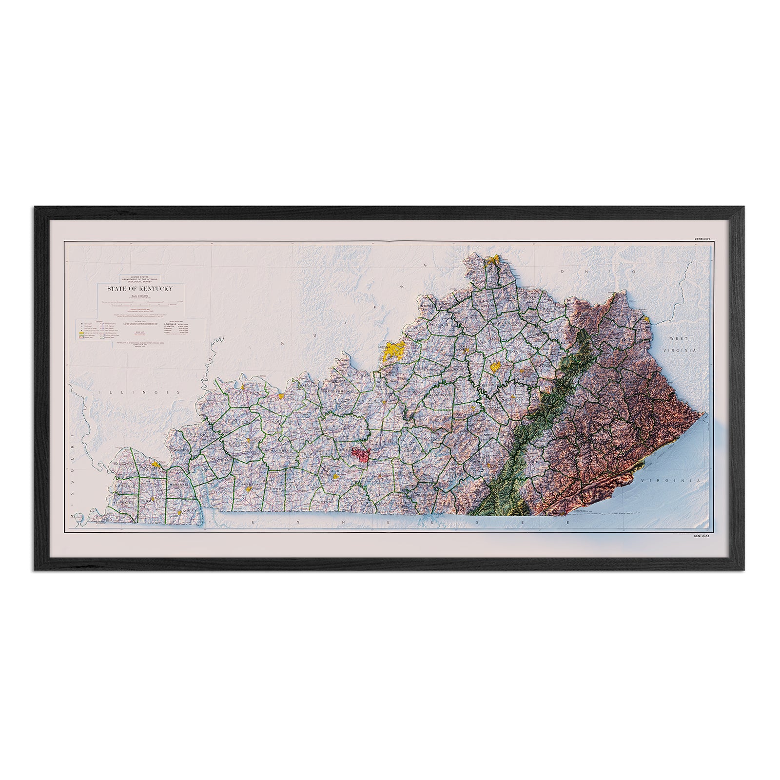
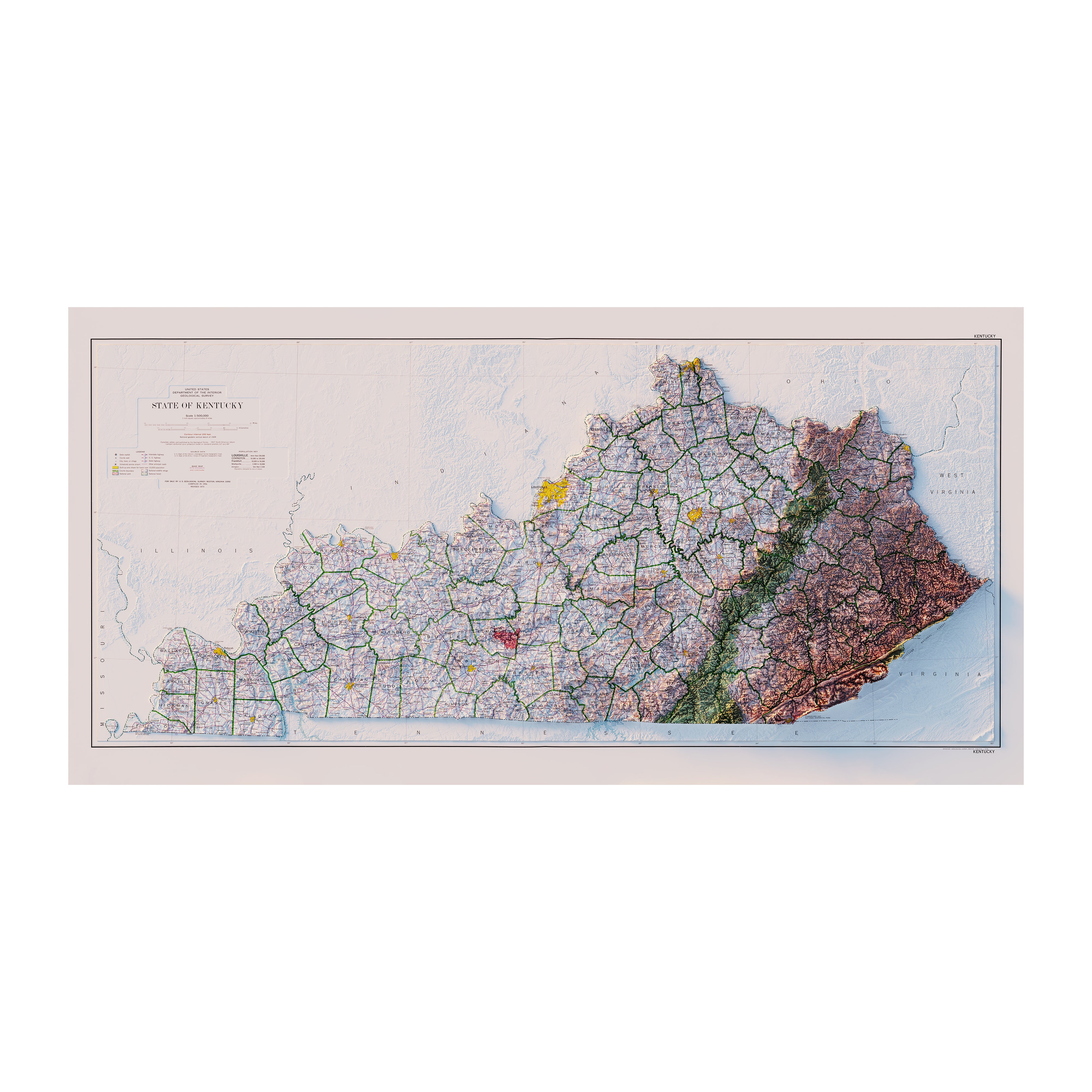
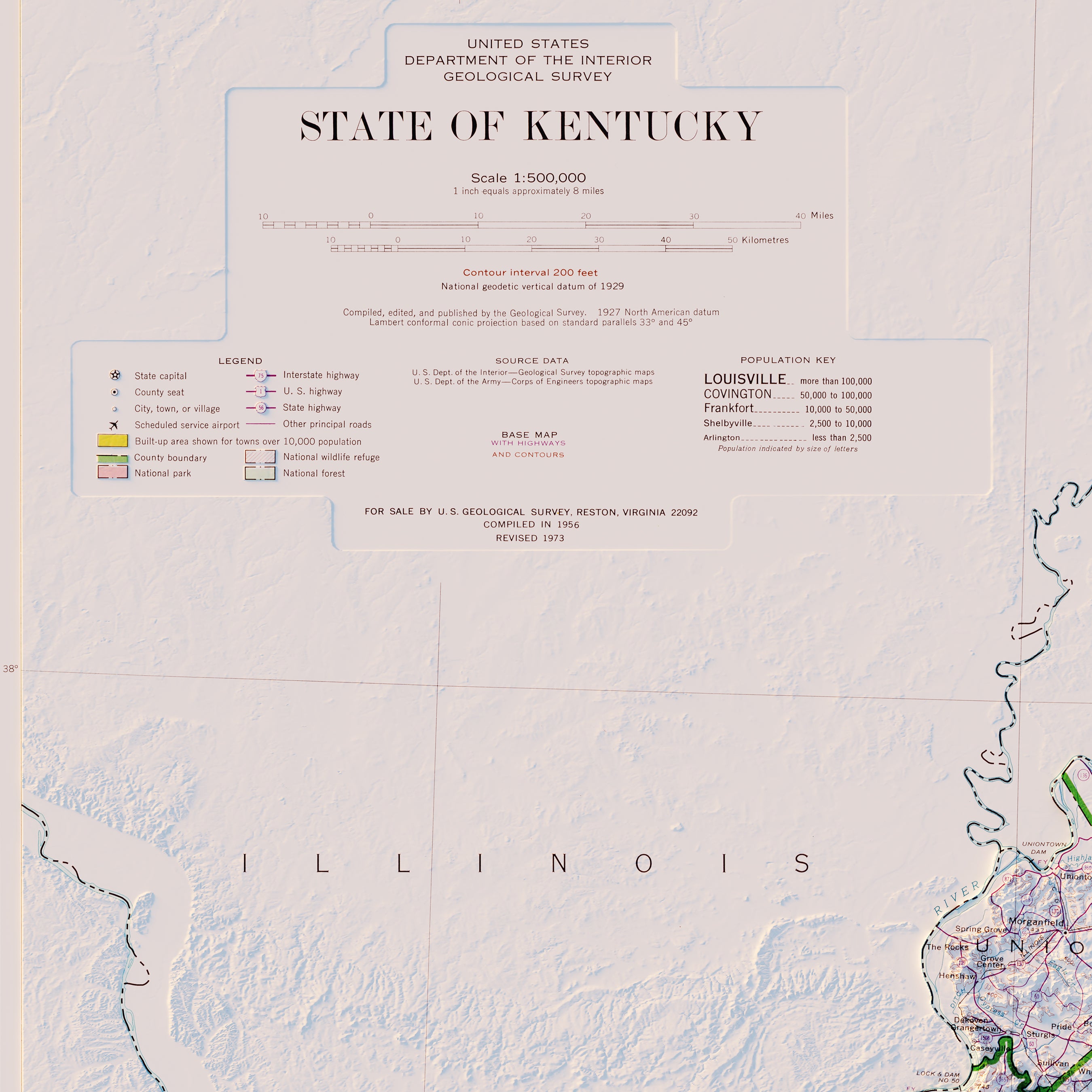
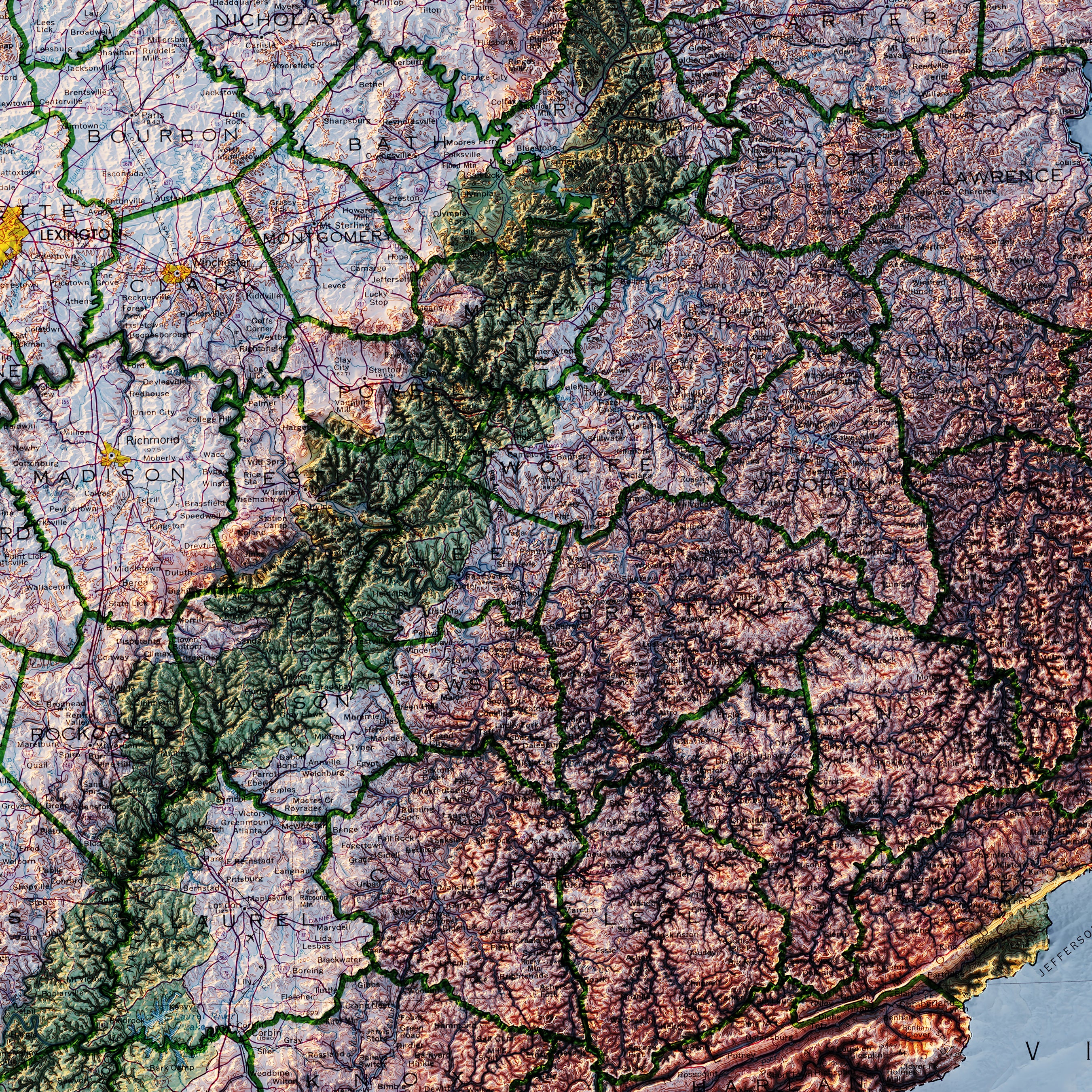
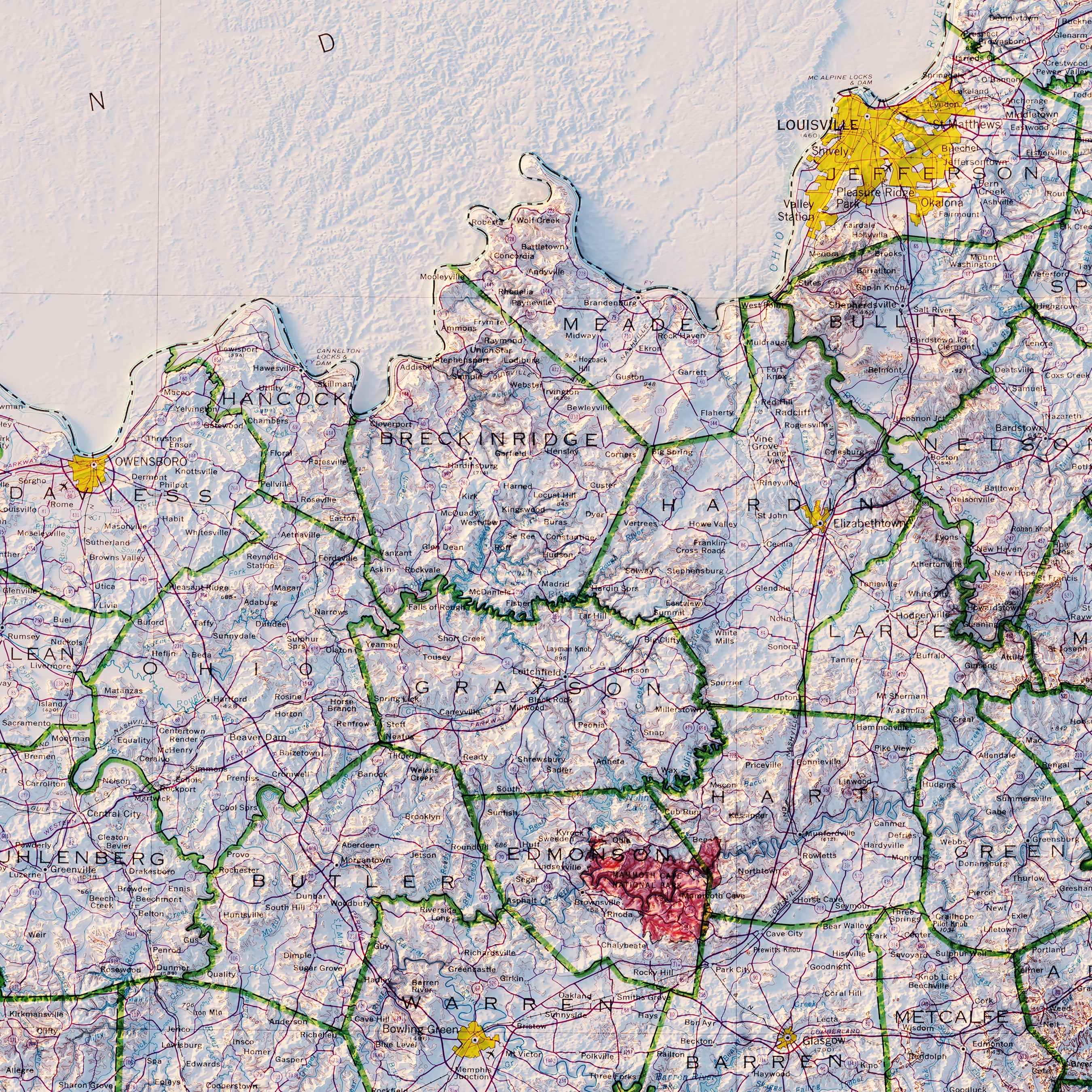
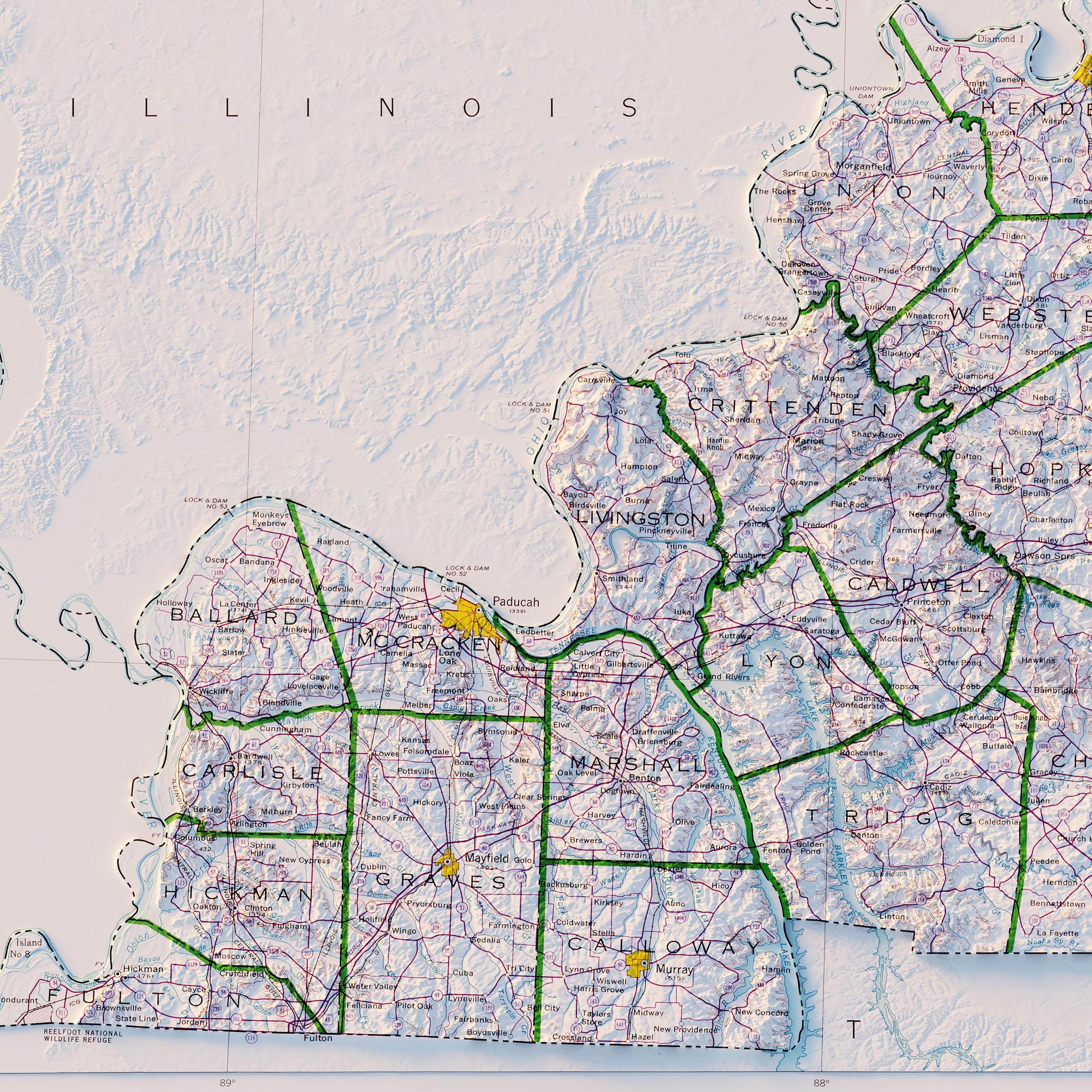
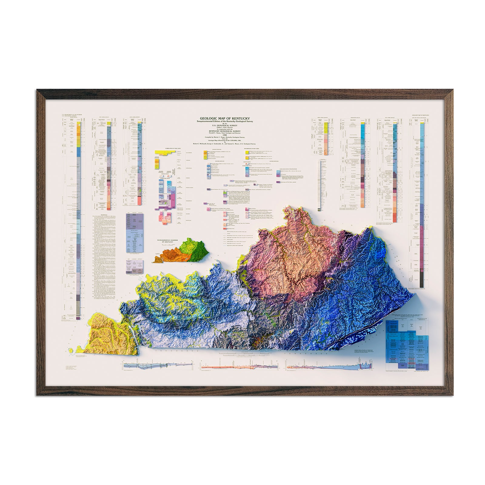
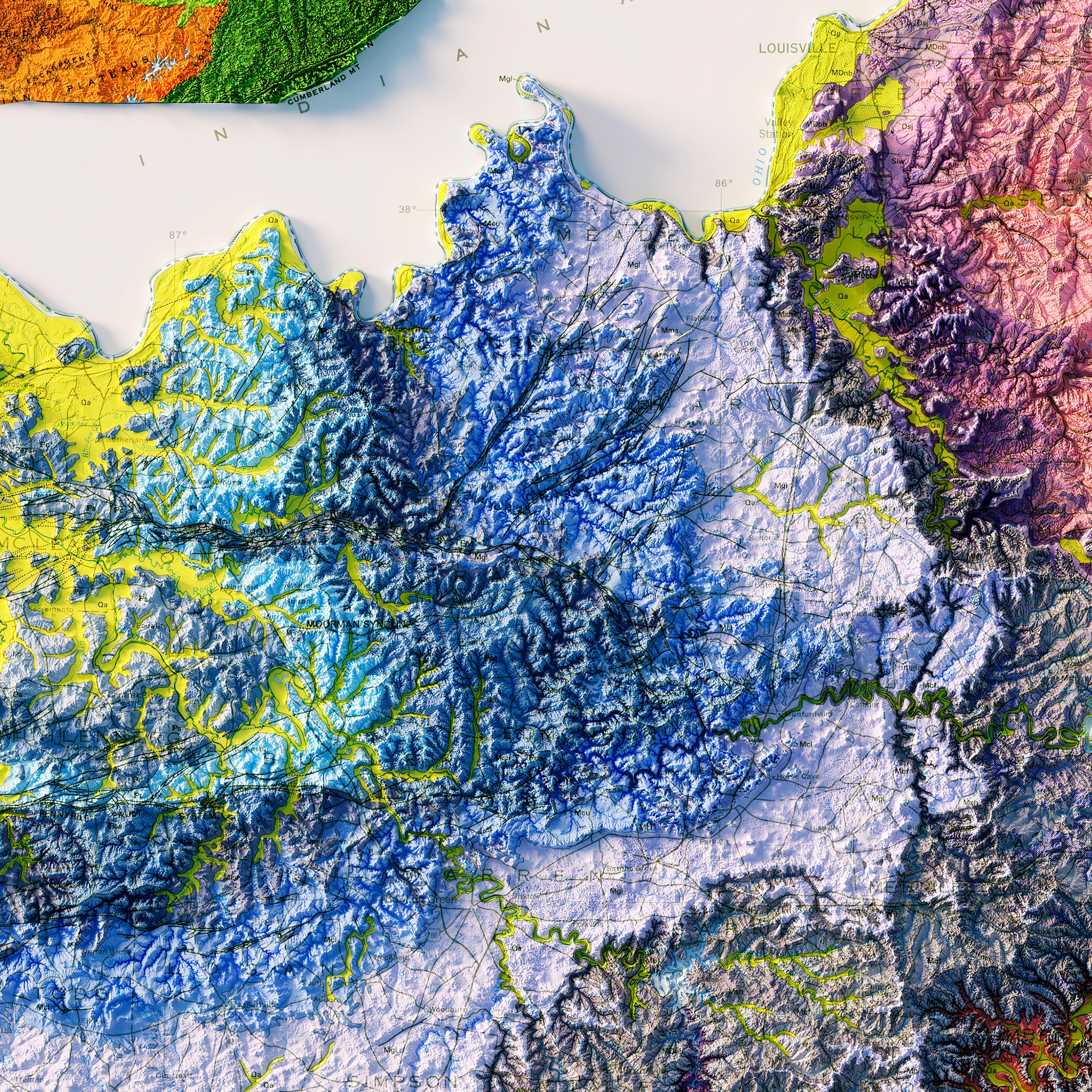
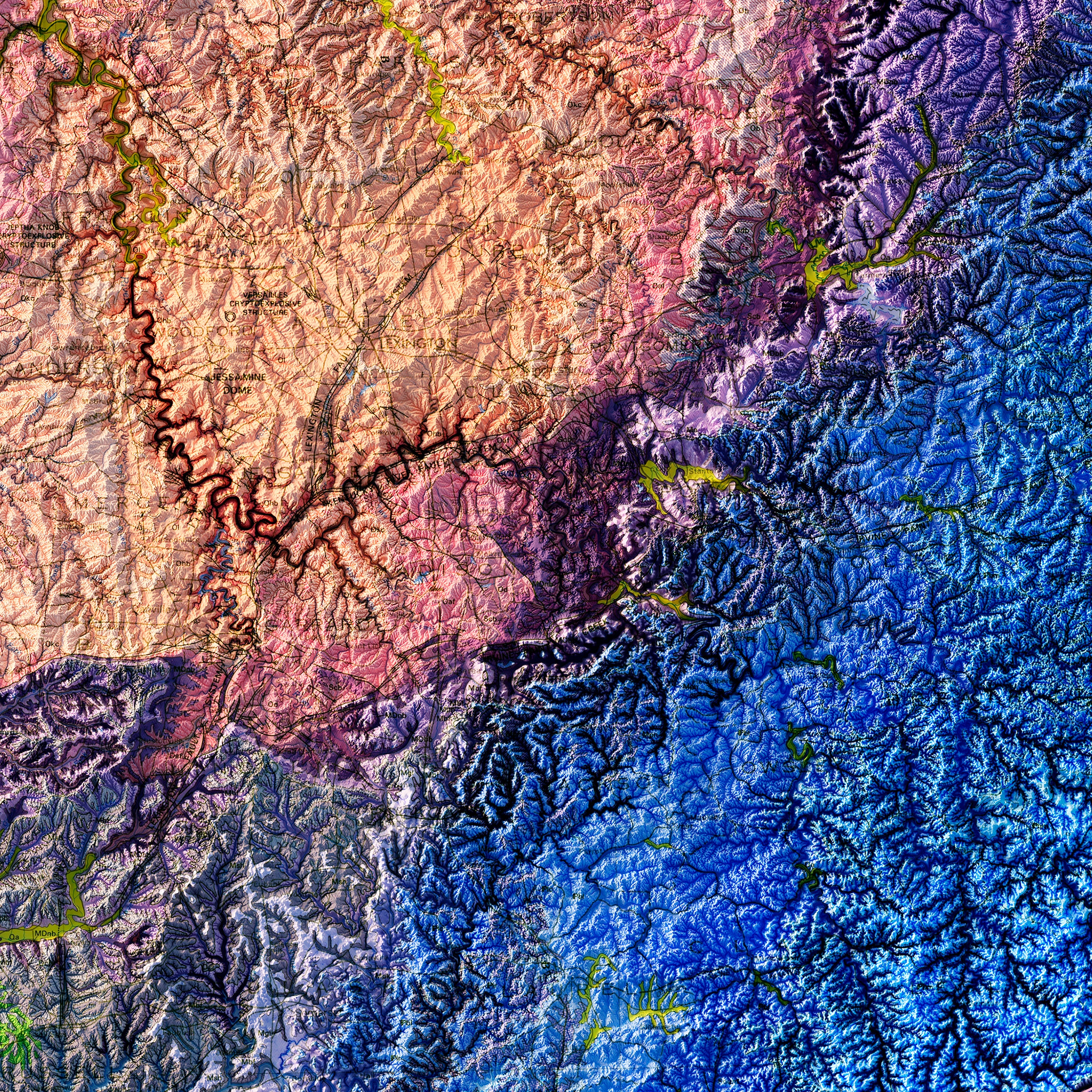
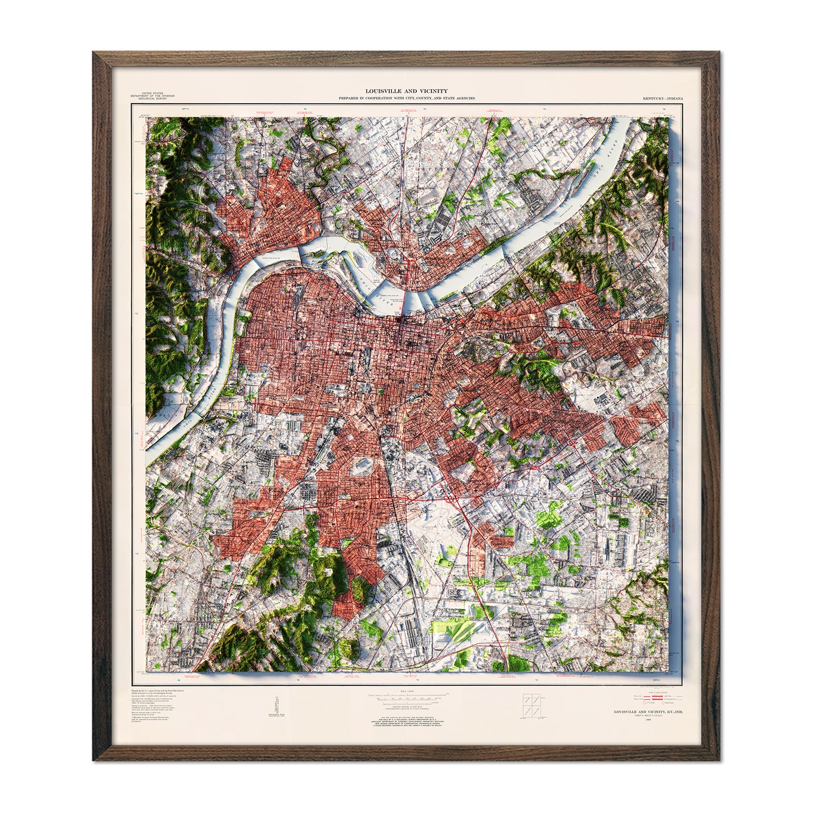
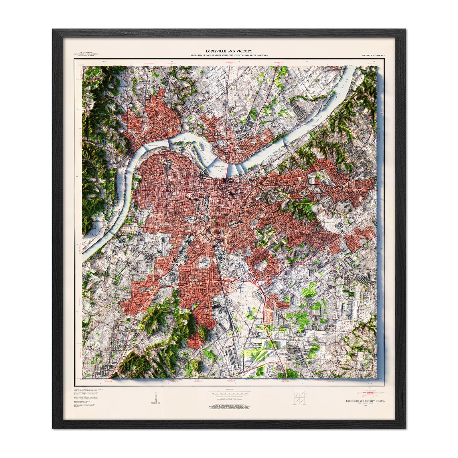
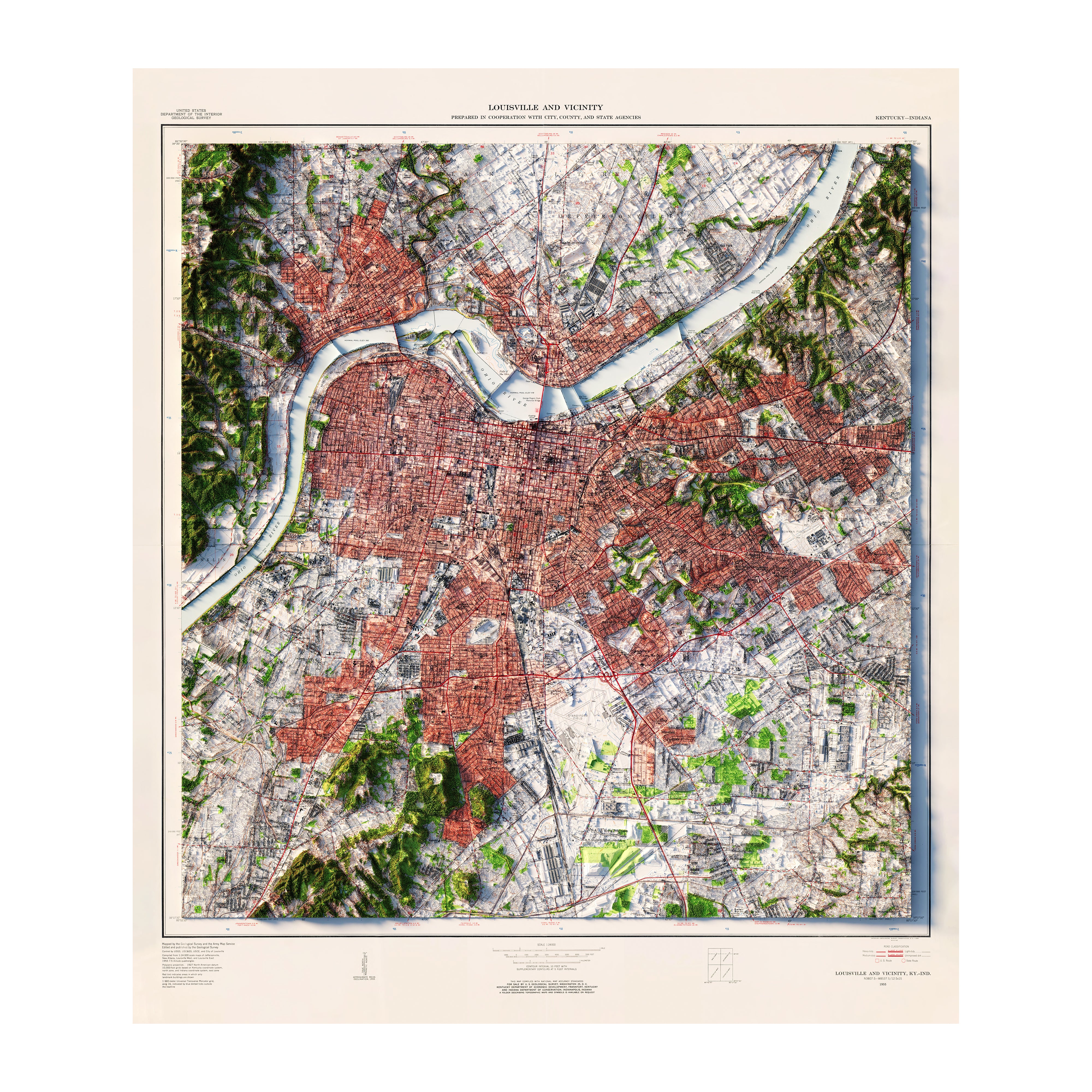
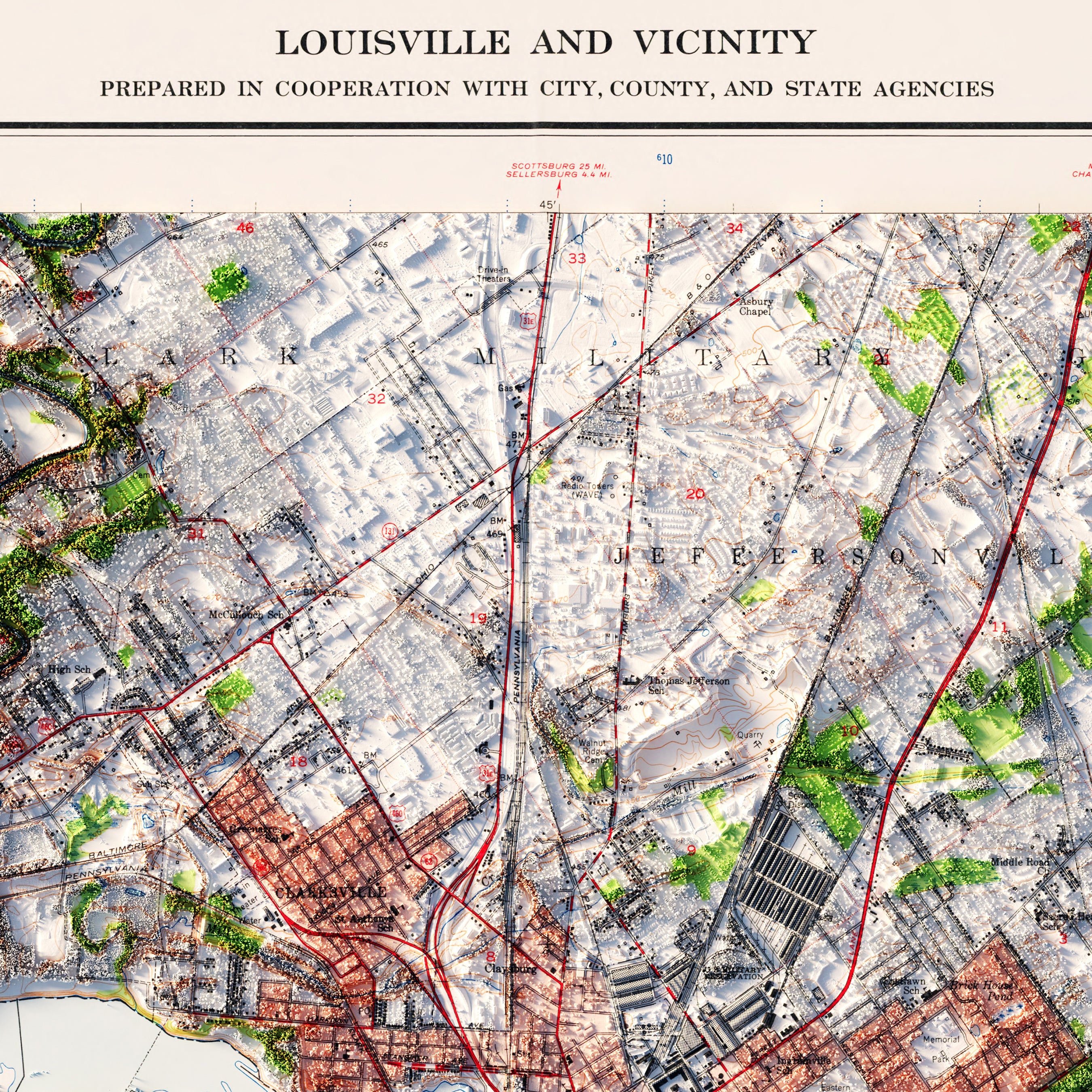
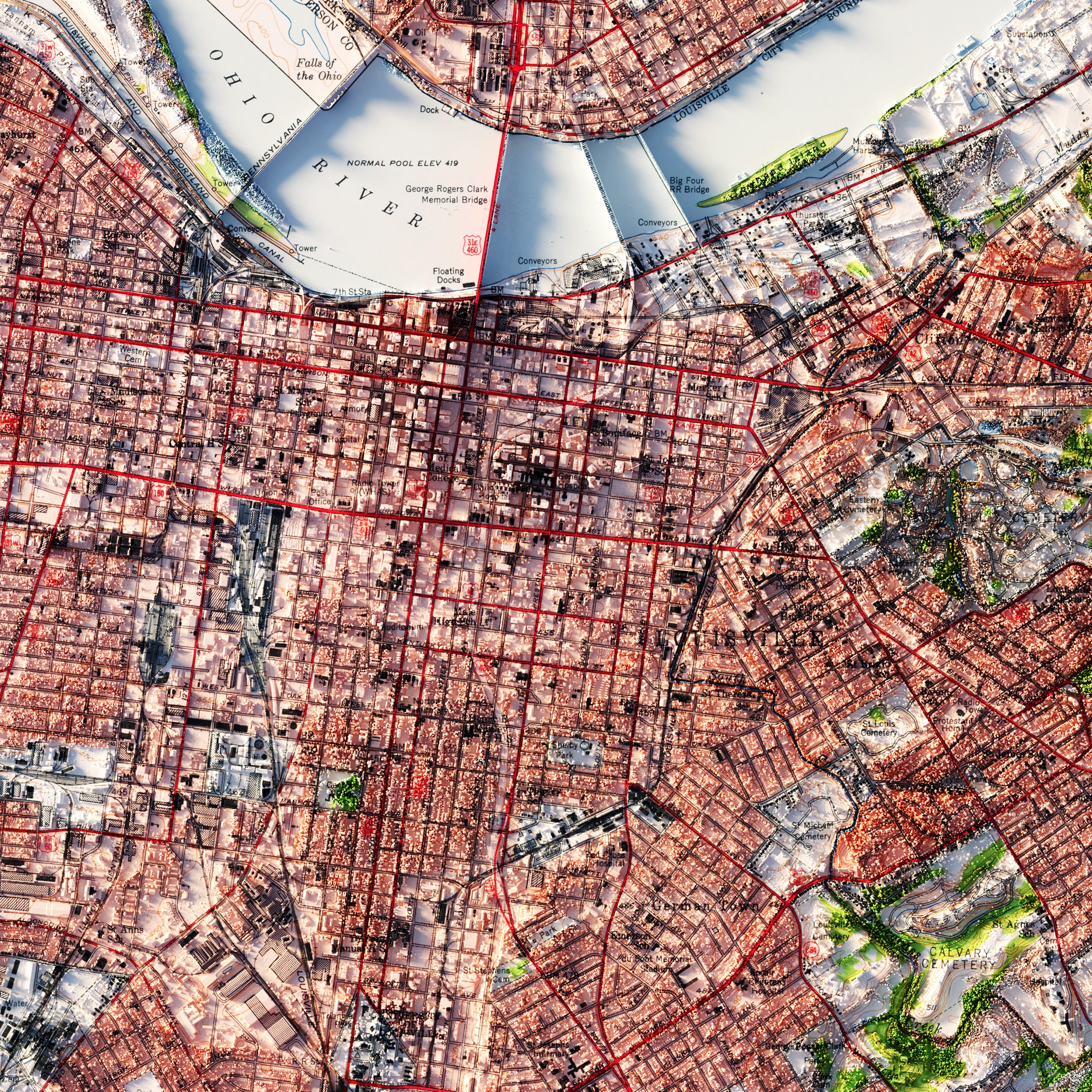
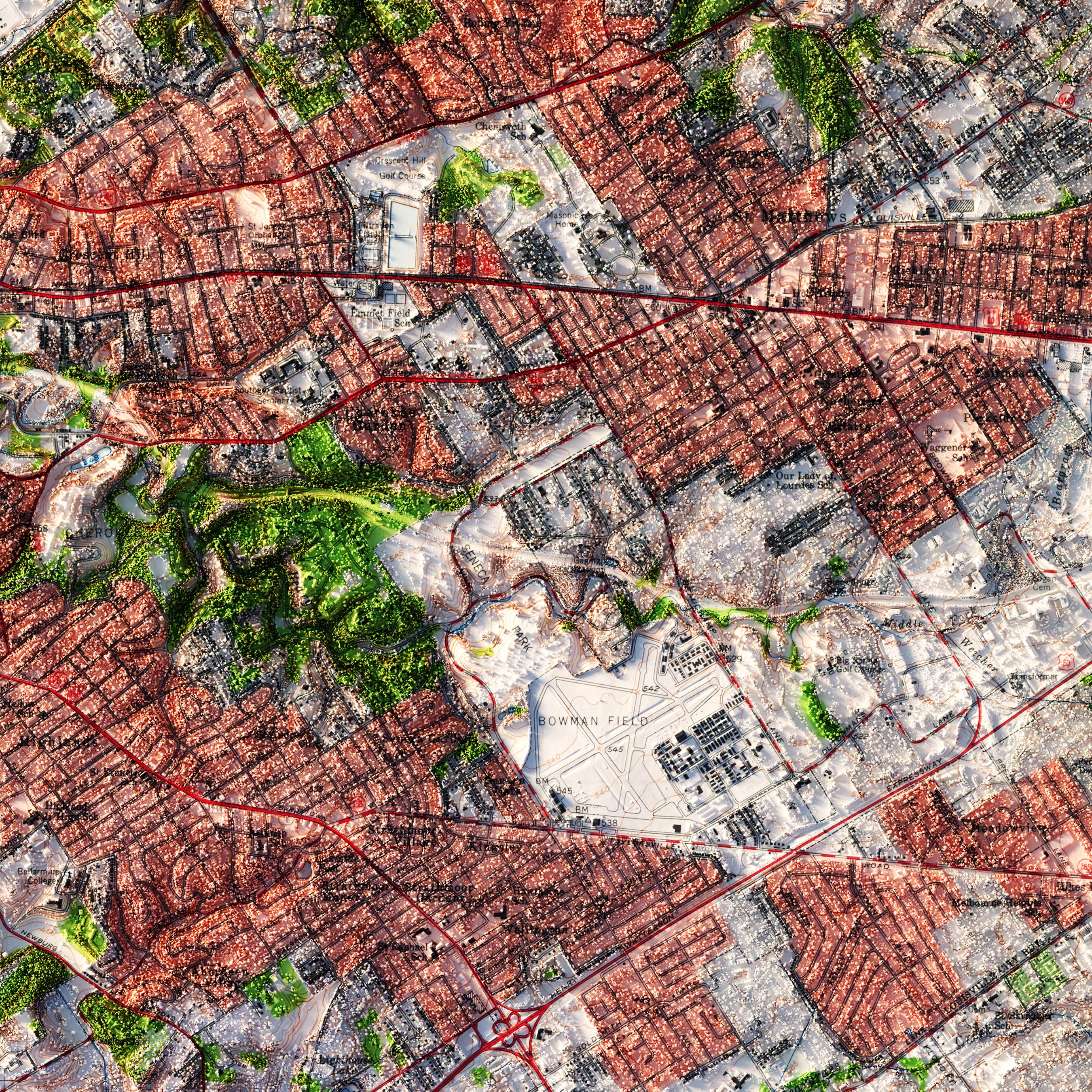
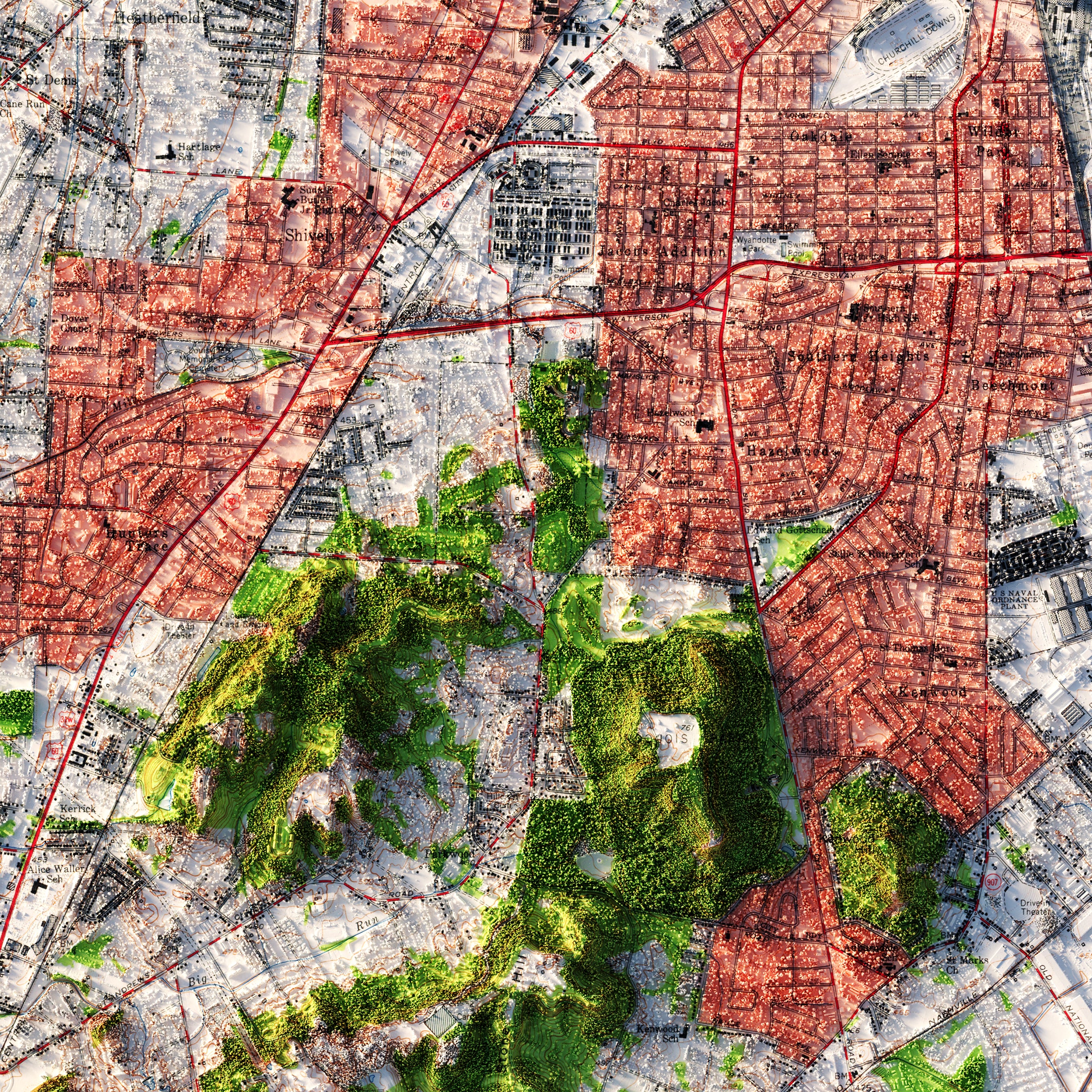
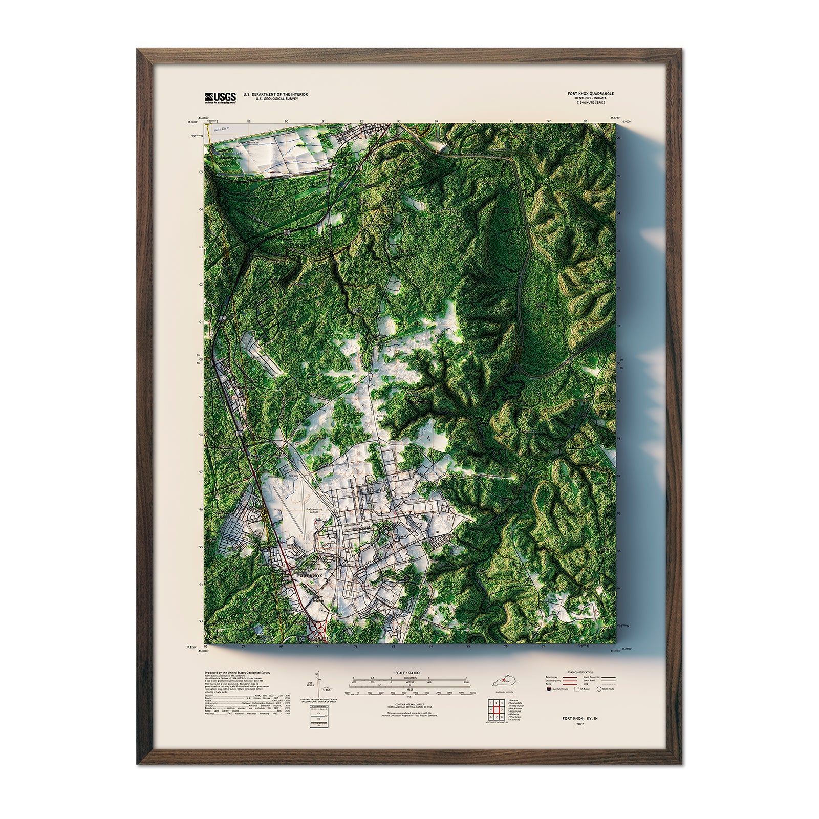
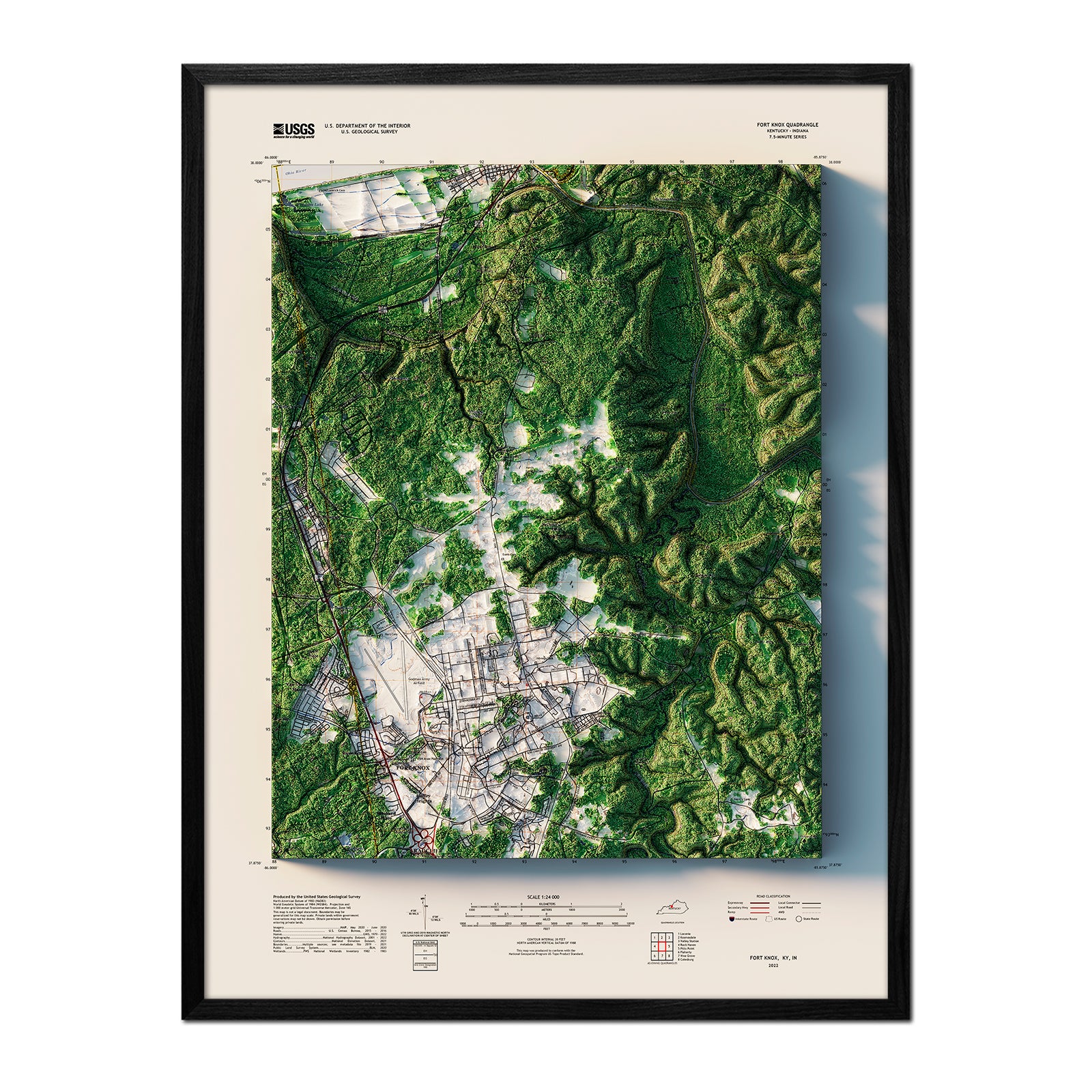
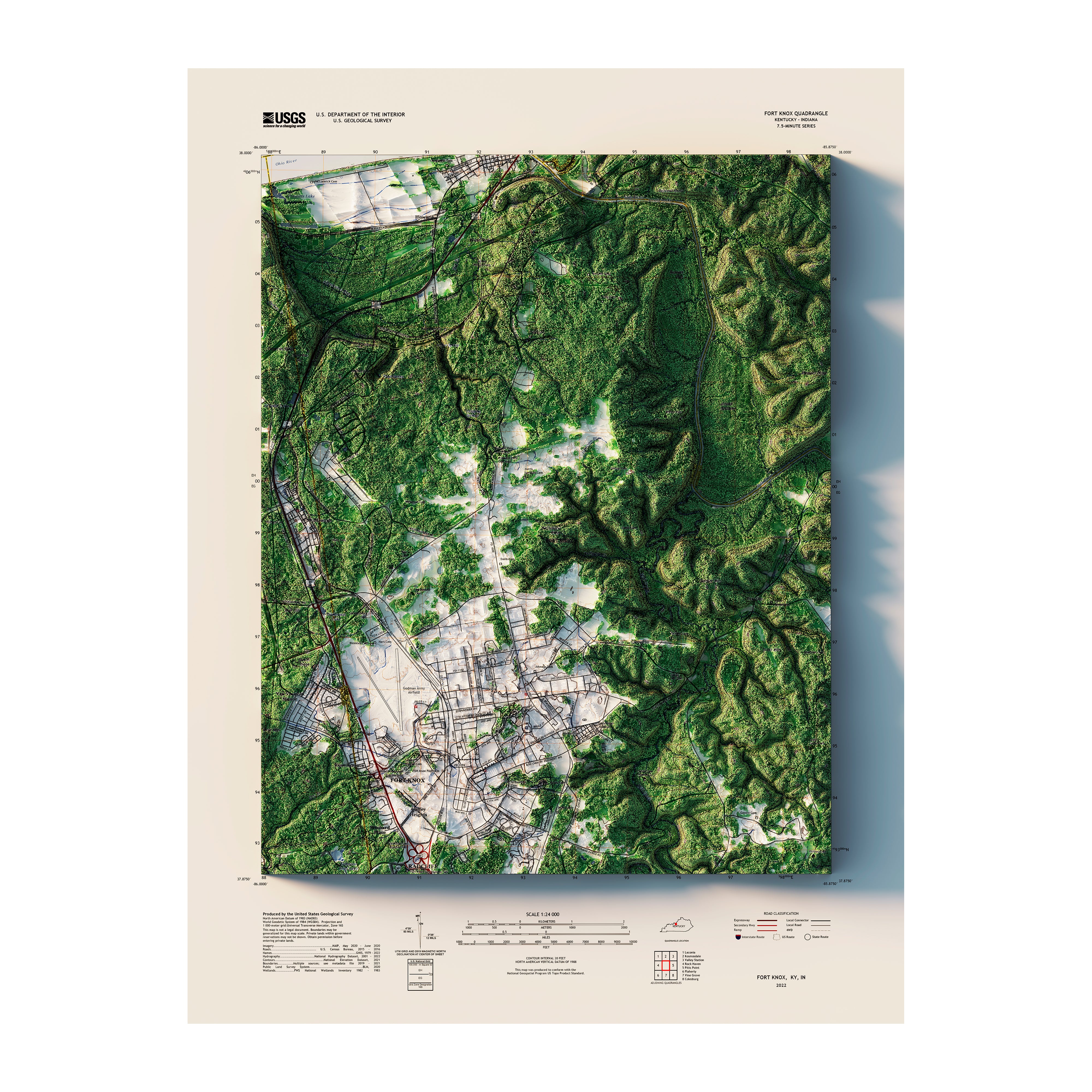
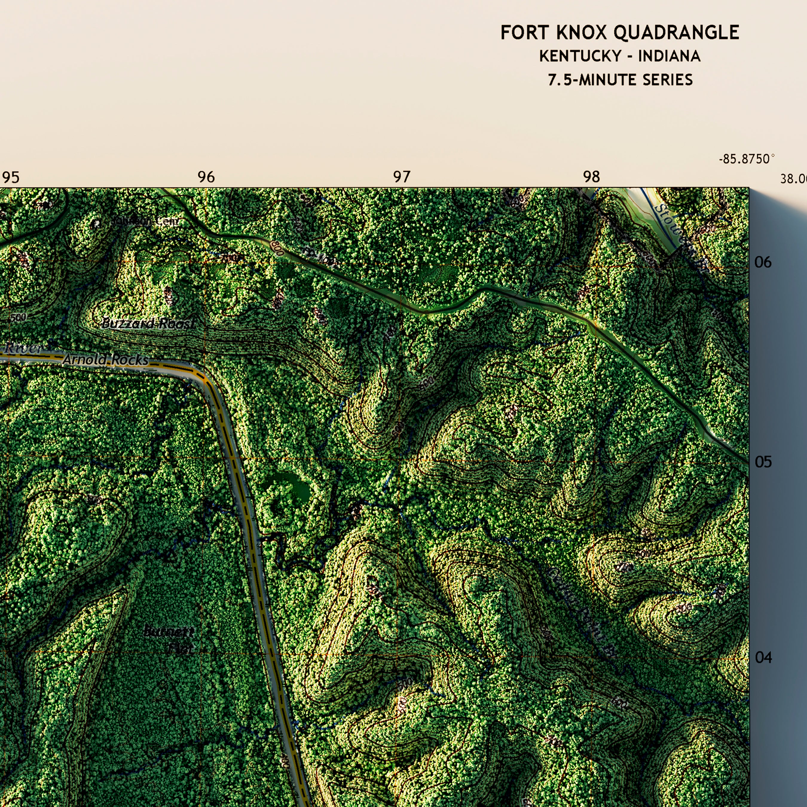
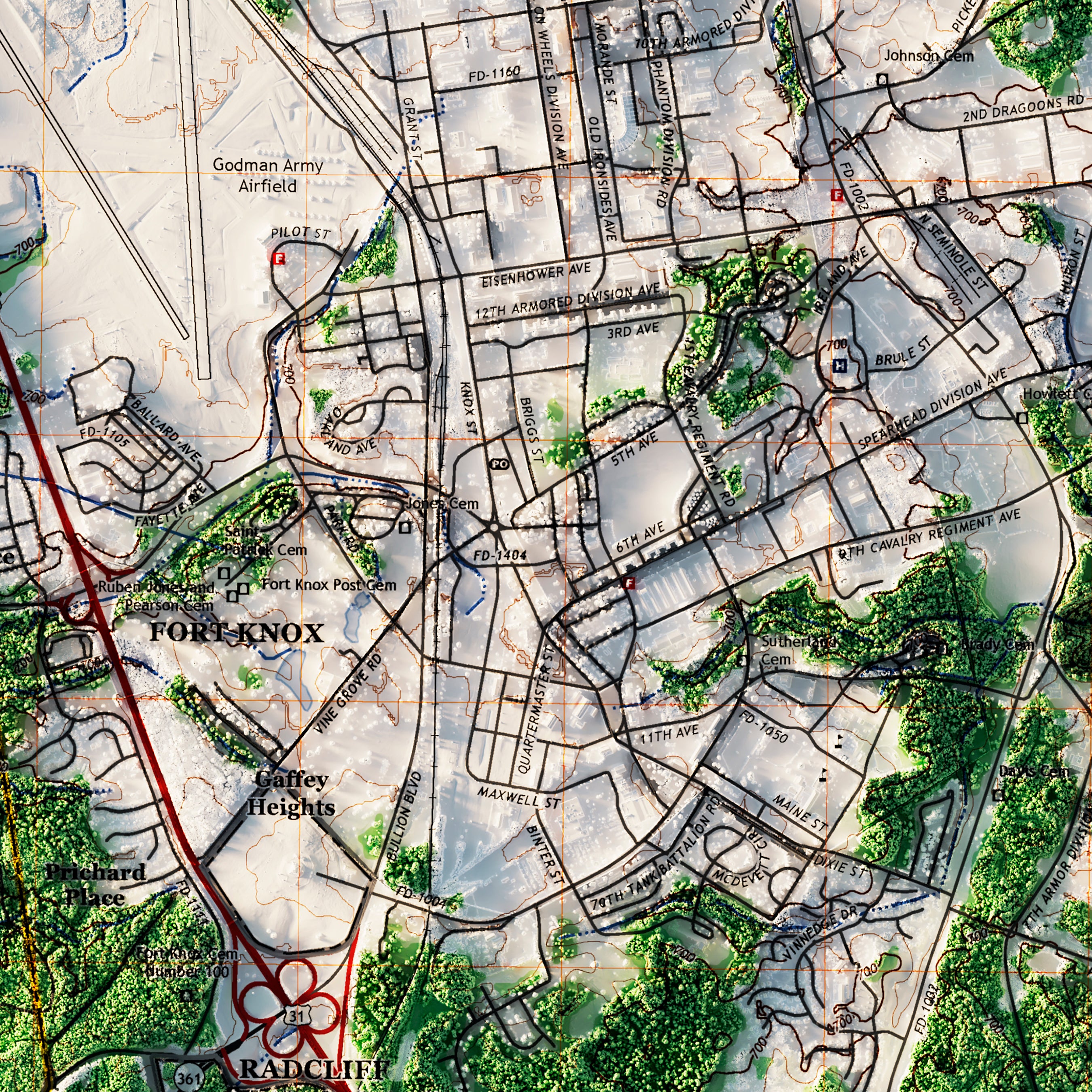
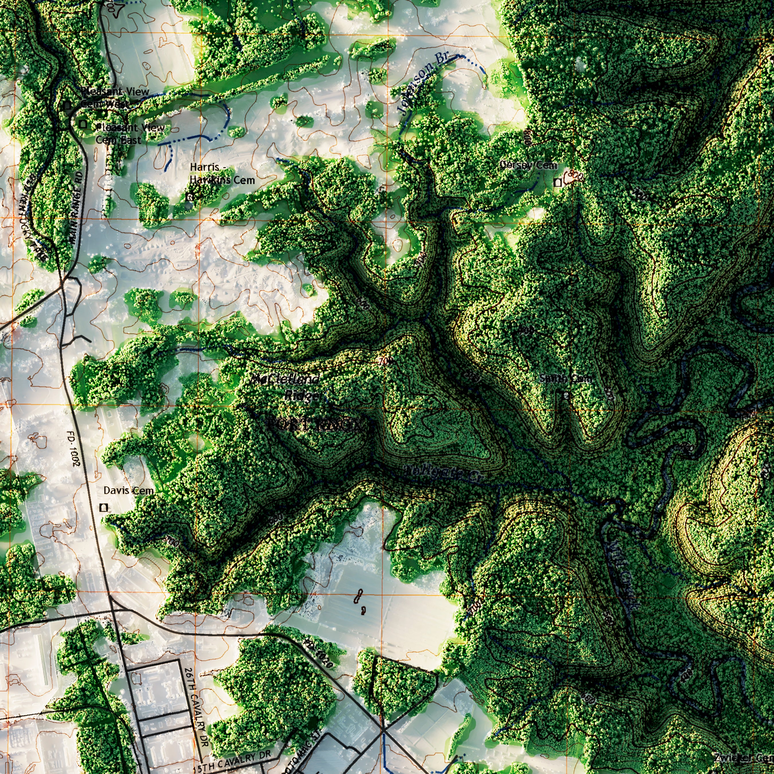
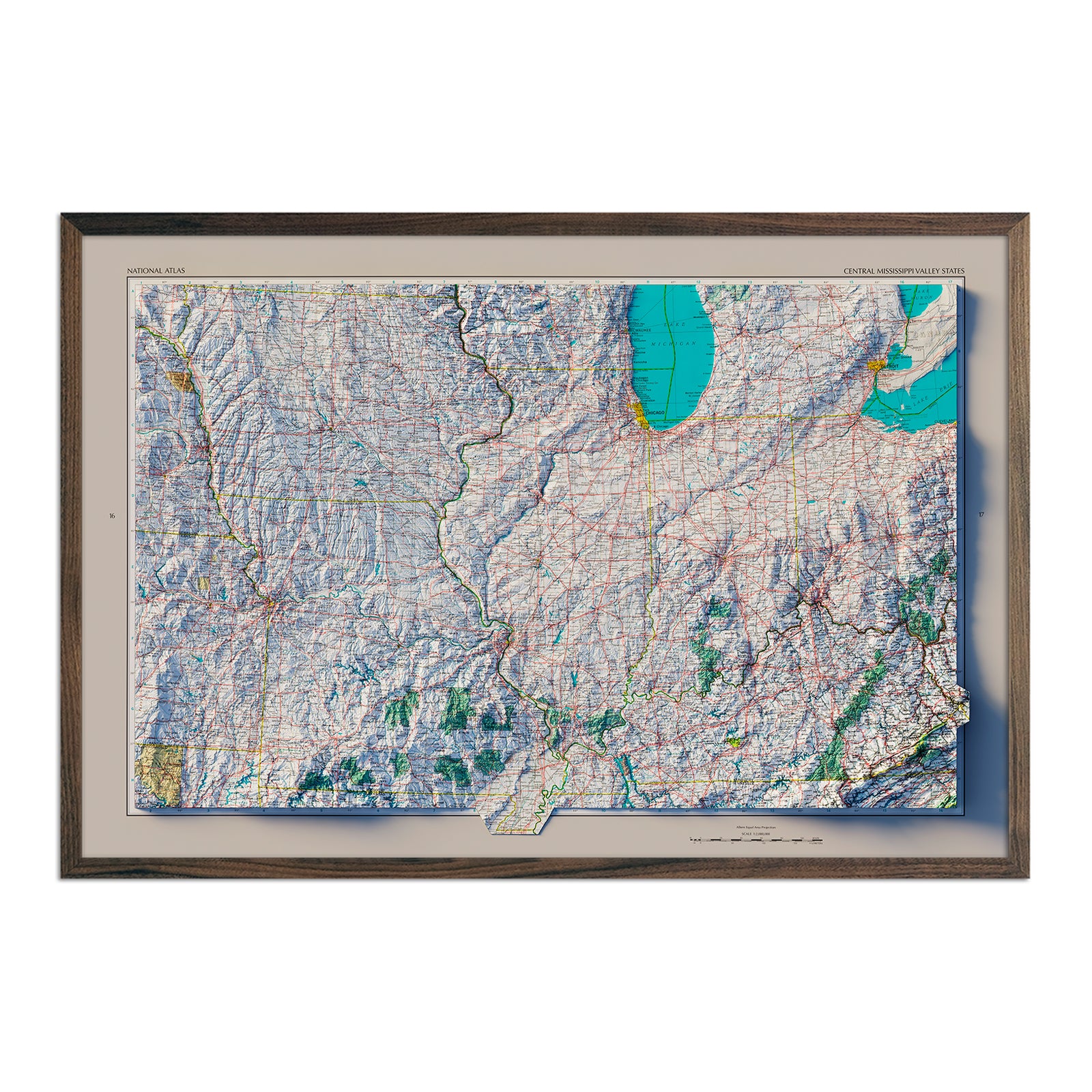
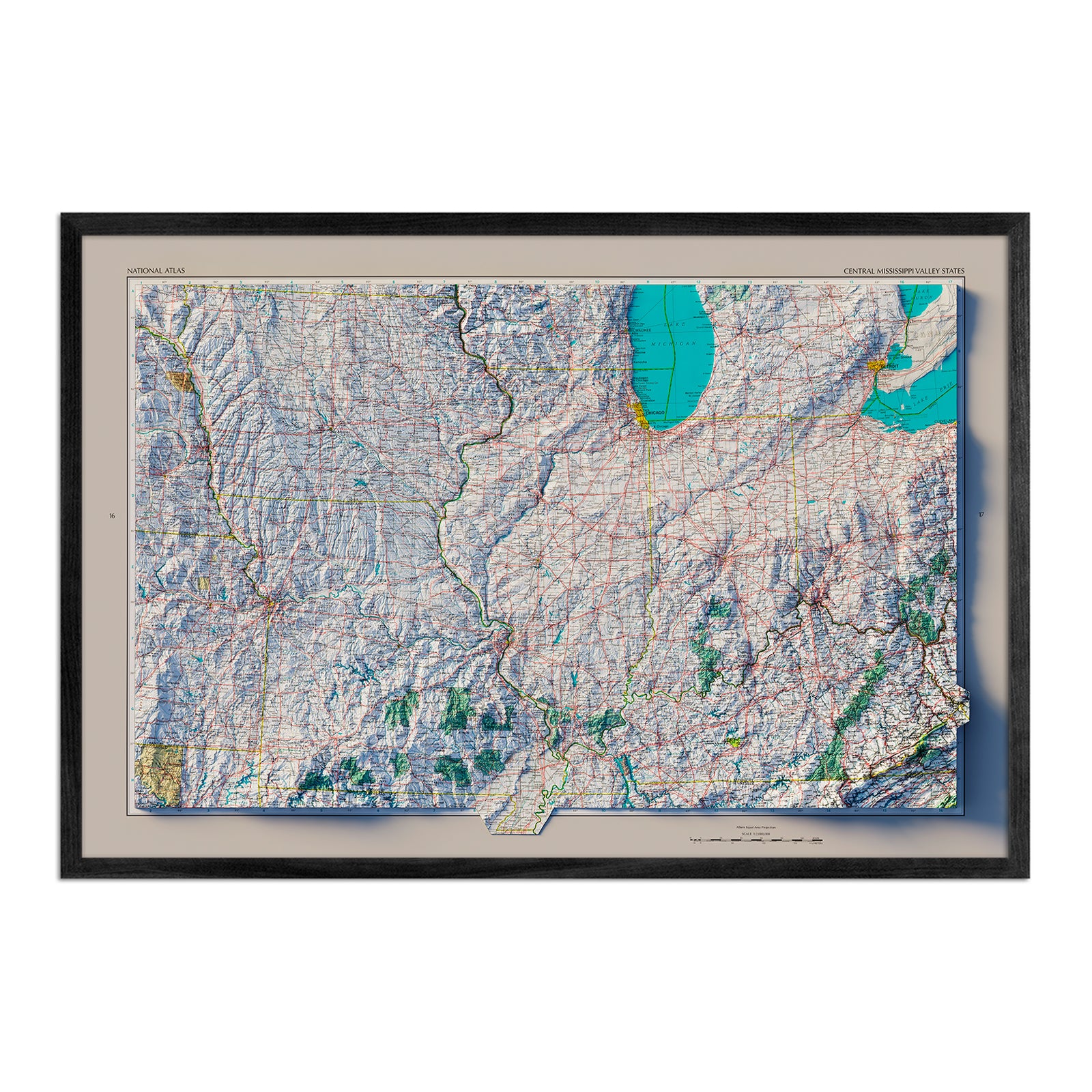
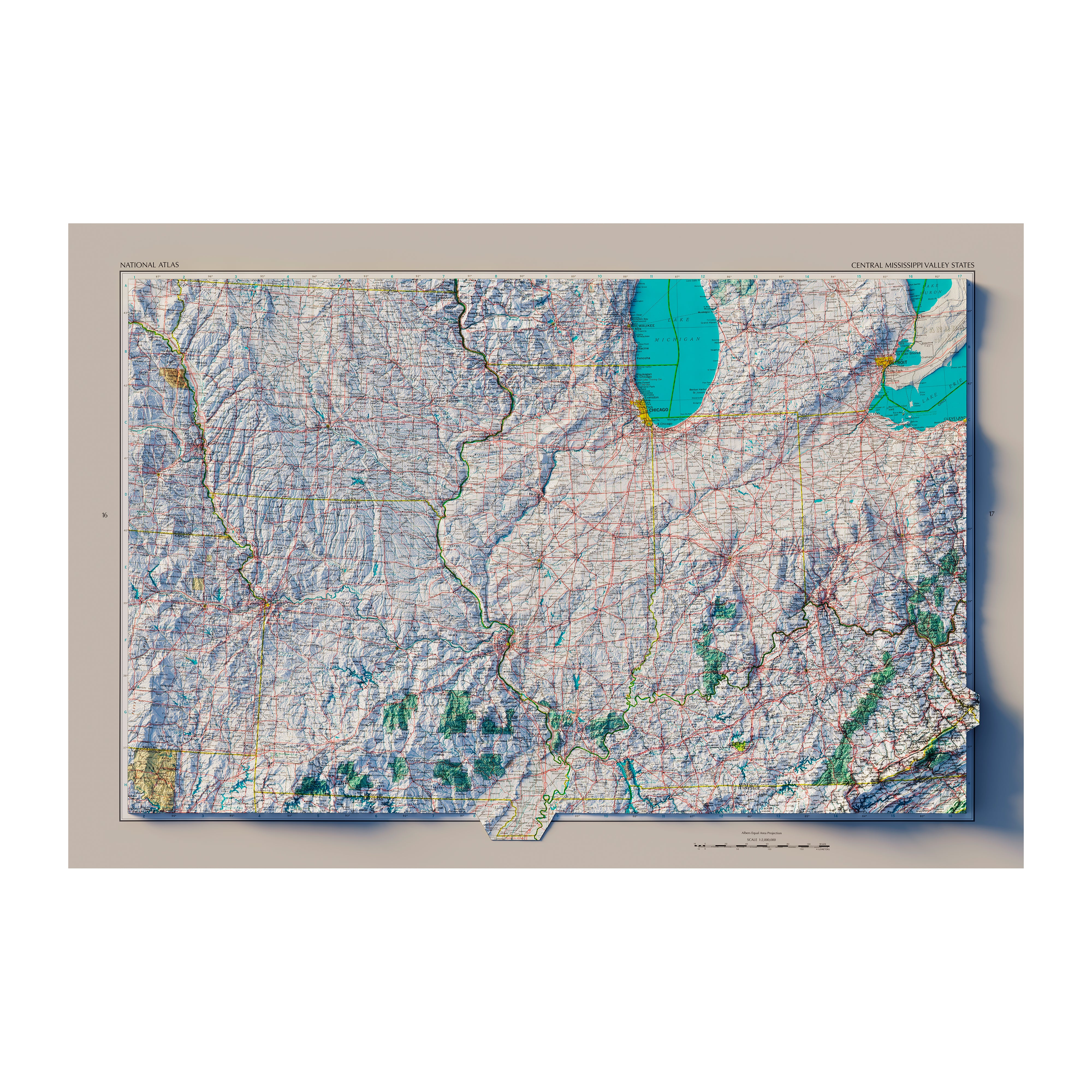
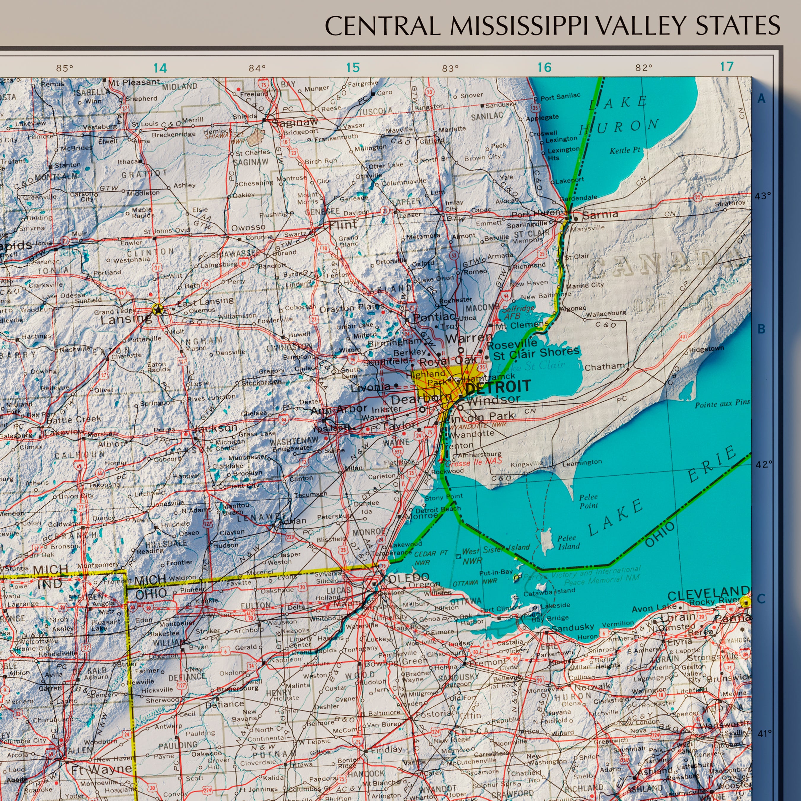
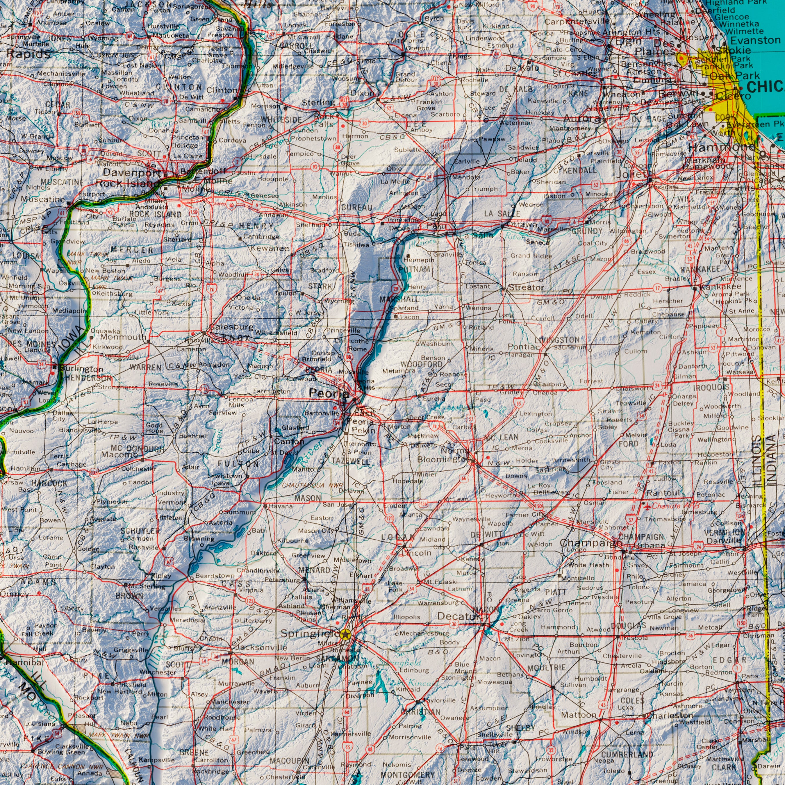
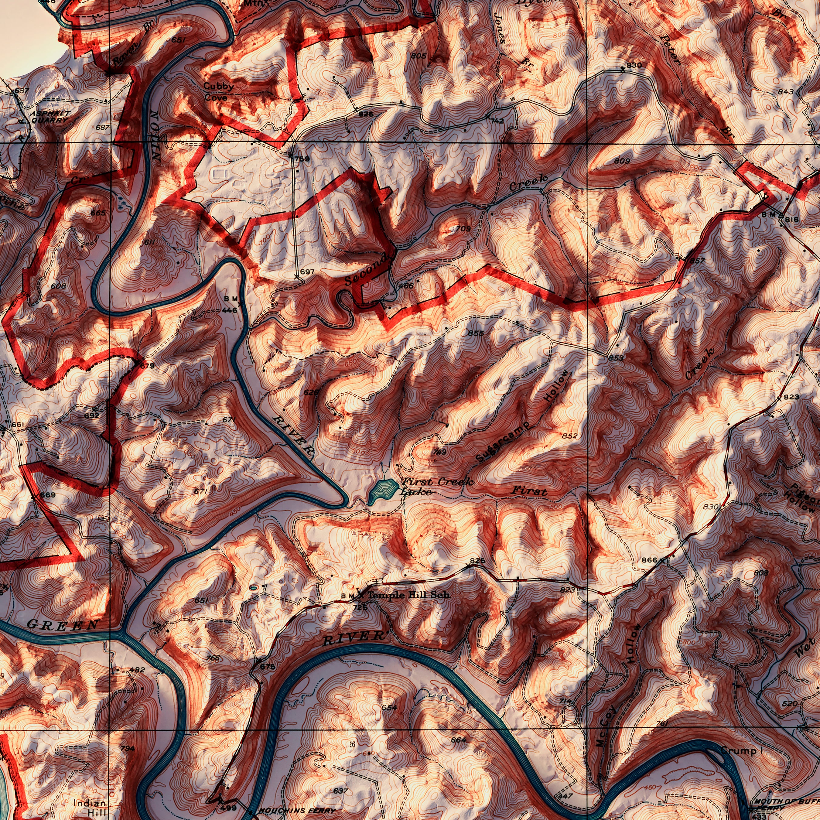
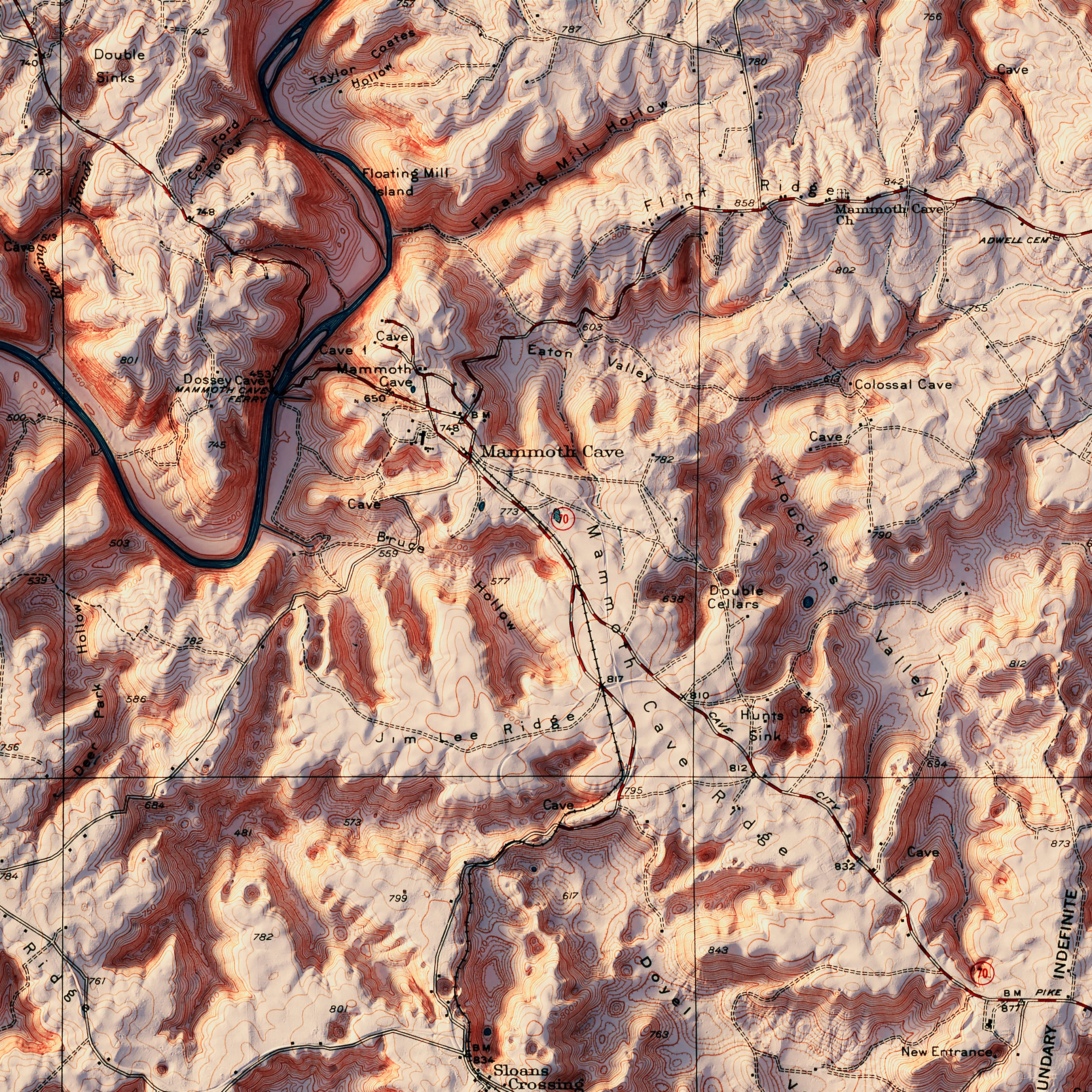
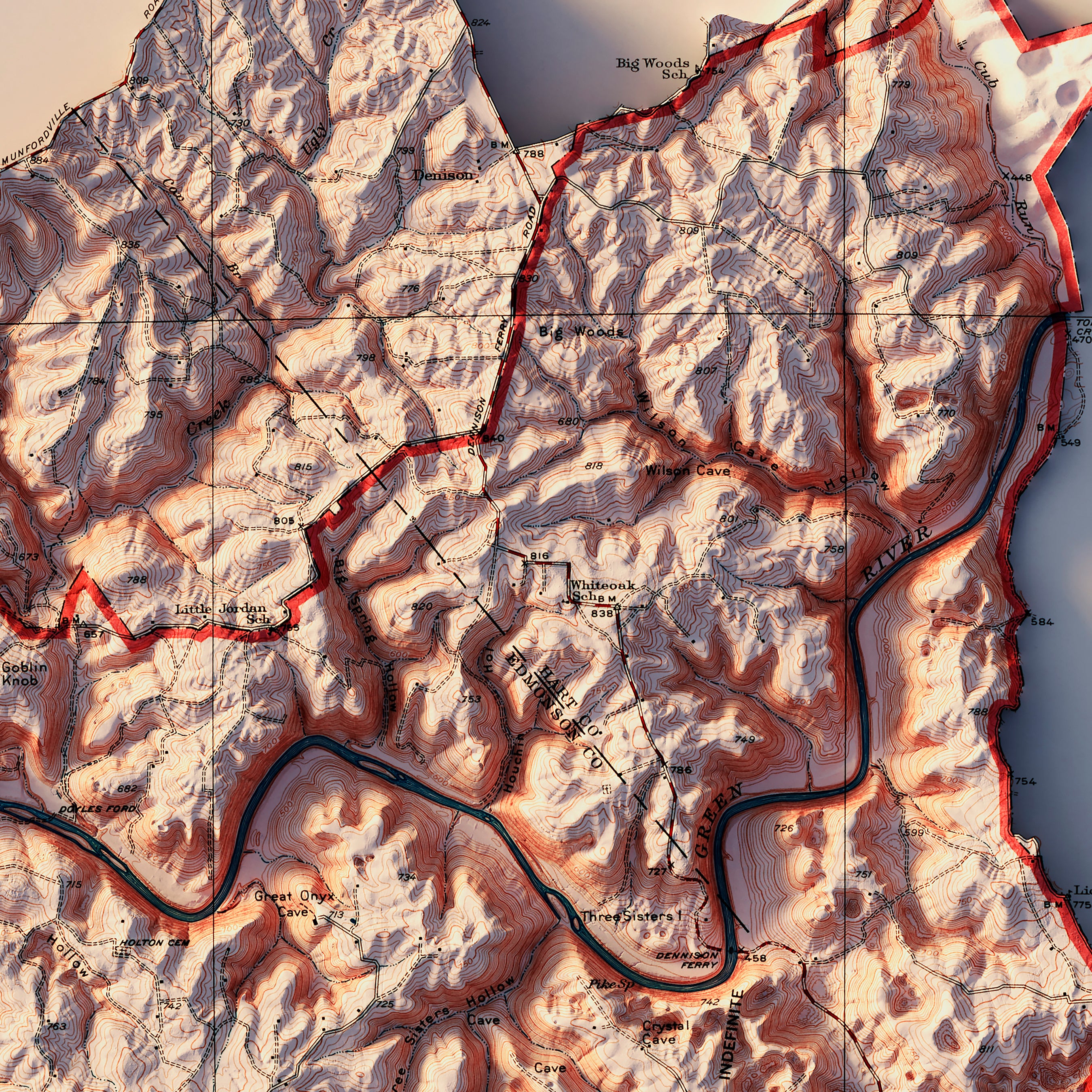
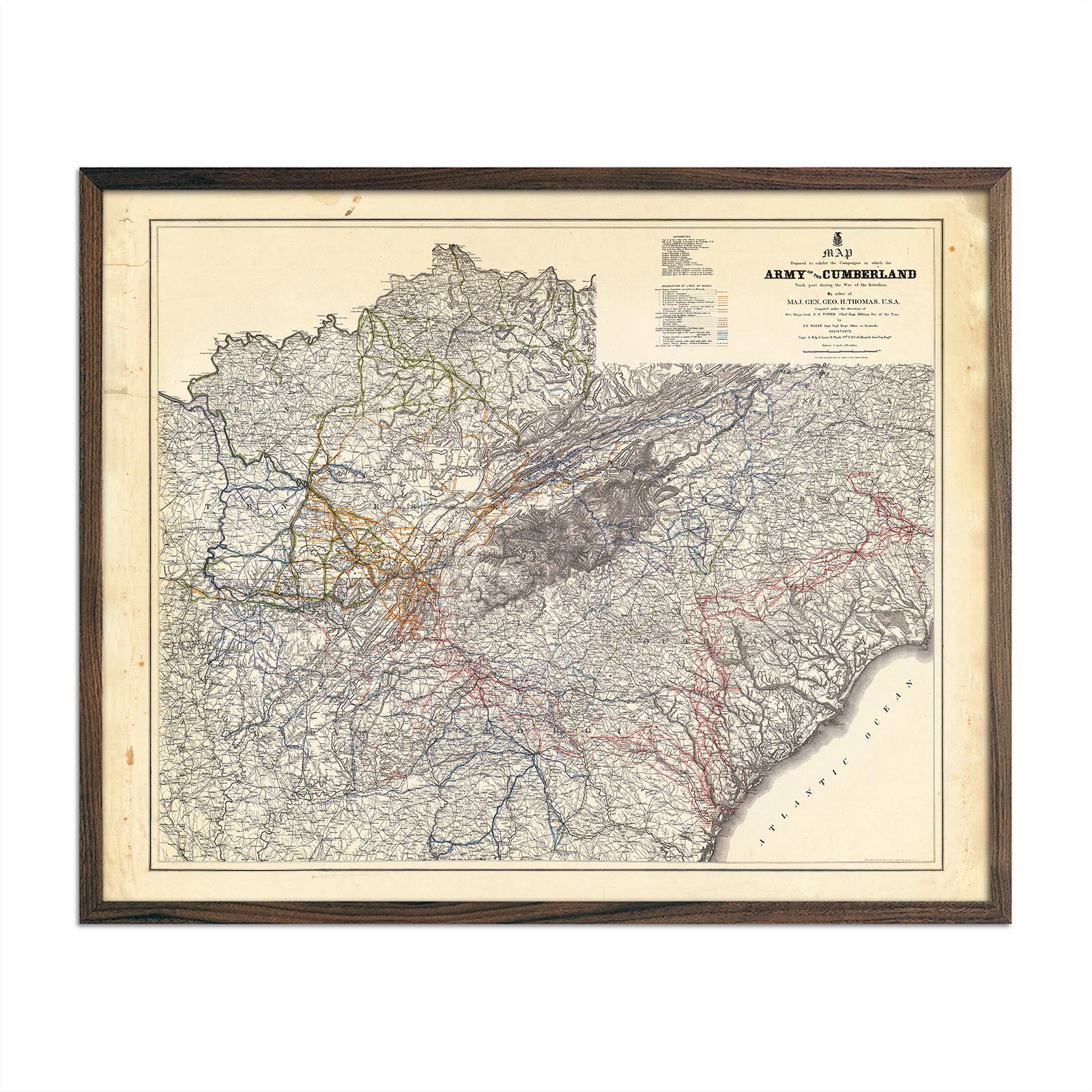
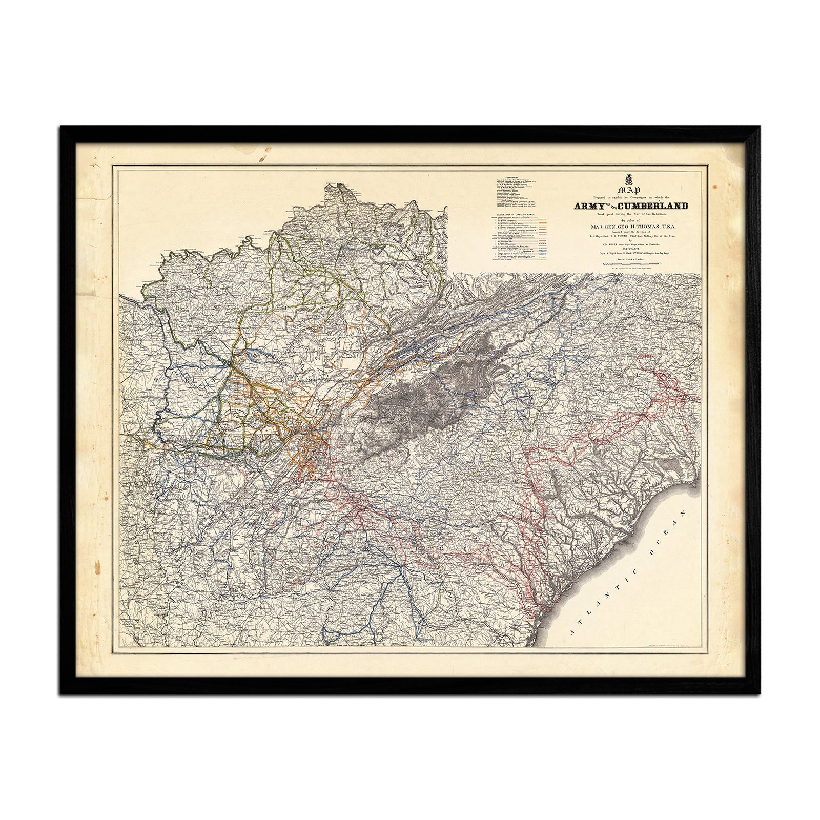
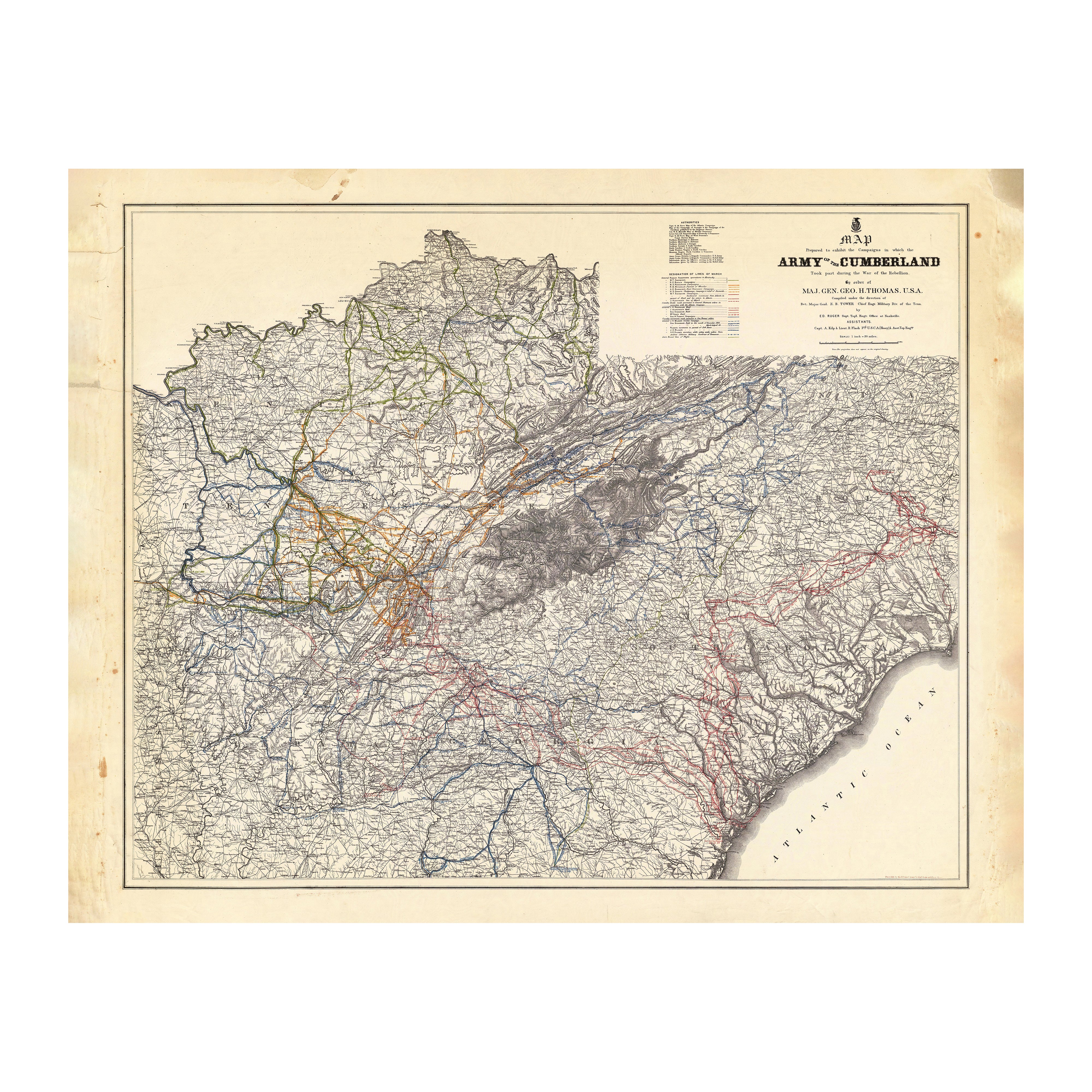
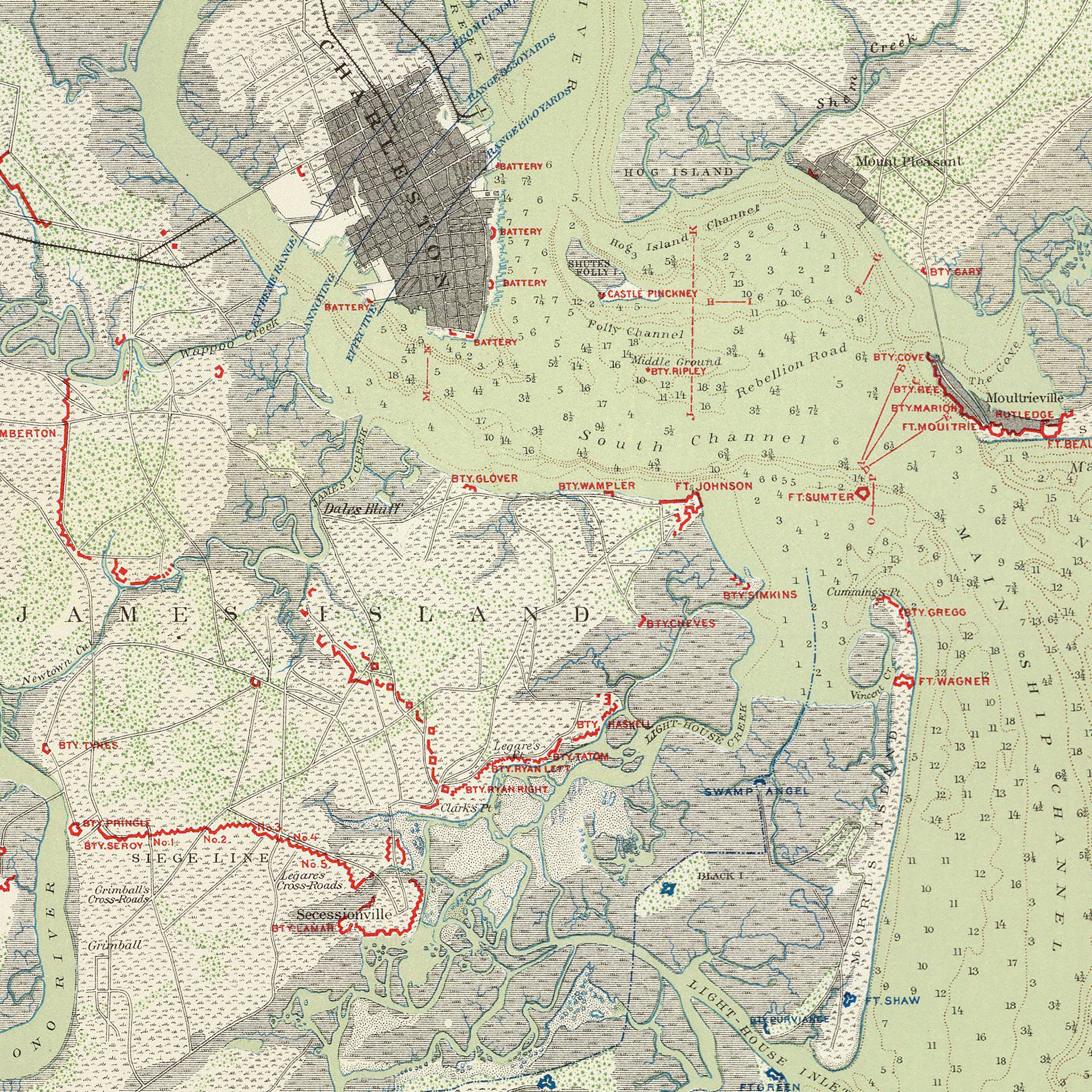
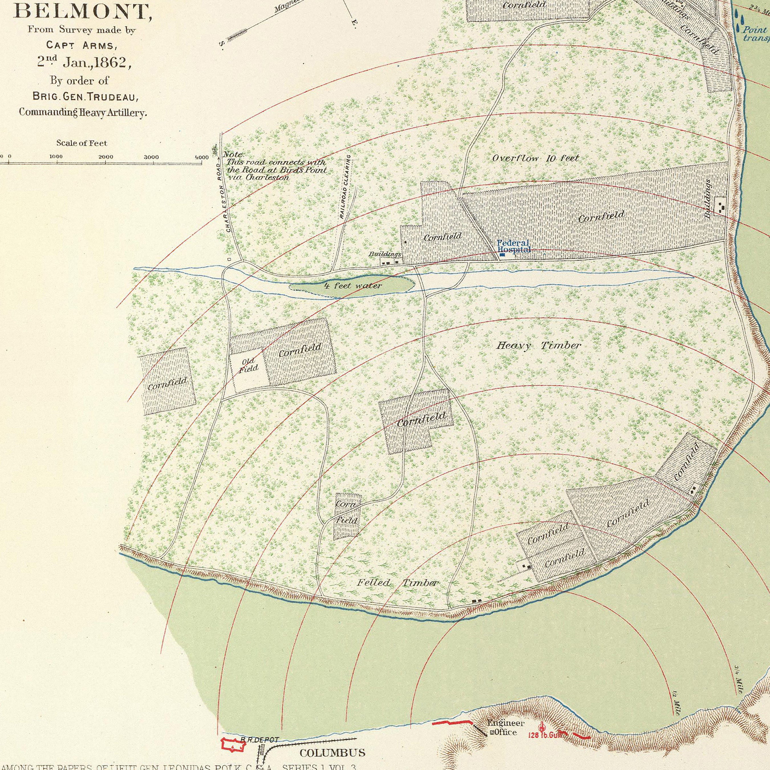
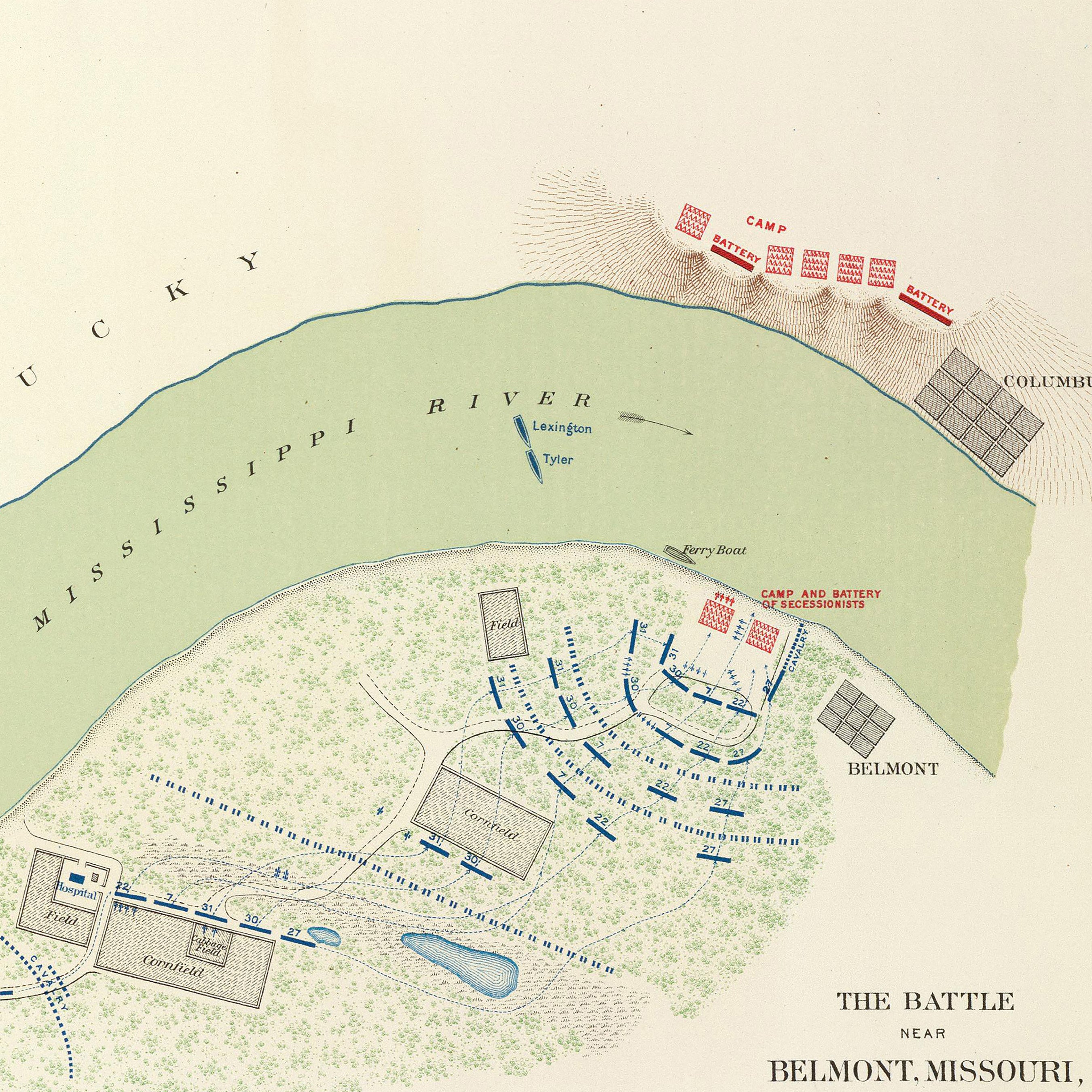
Kentucky relief maps - Our relief maps of Kentucky combine historical map landscapes with modern technology to showcase Kentucky’s geography in a new and exciting way. Using Digital Elevation Data and hand-shaded relief, we custom enhance vintage maps to create a striking 3D effect on a flat surface. See the different regions of Kentucky on our 1973 Kentucky relief map, or see a relief map of Louisville, KY as it looked in 1955.
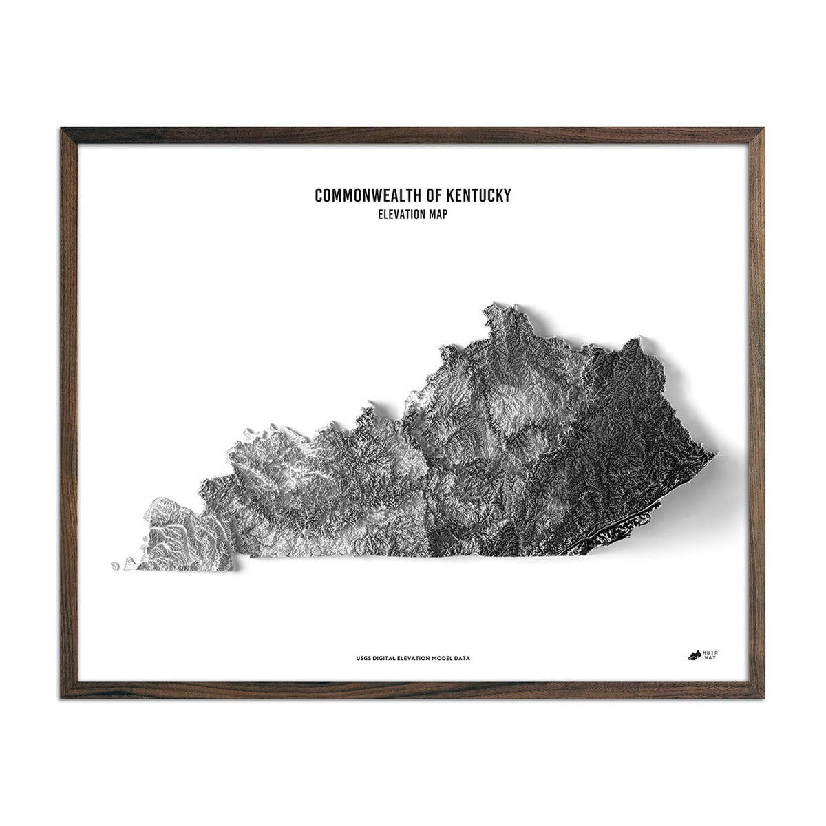
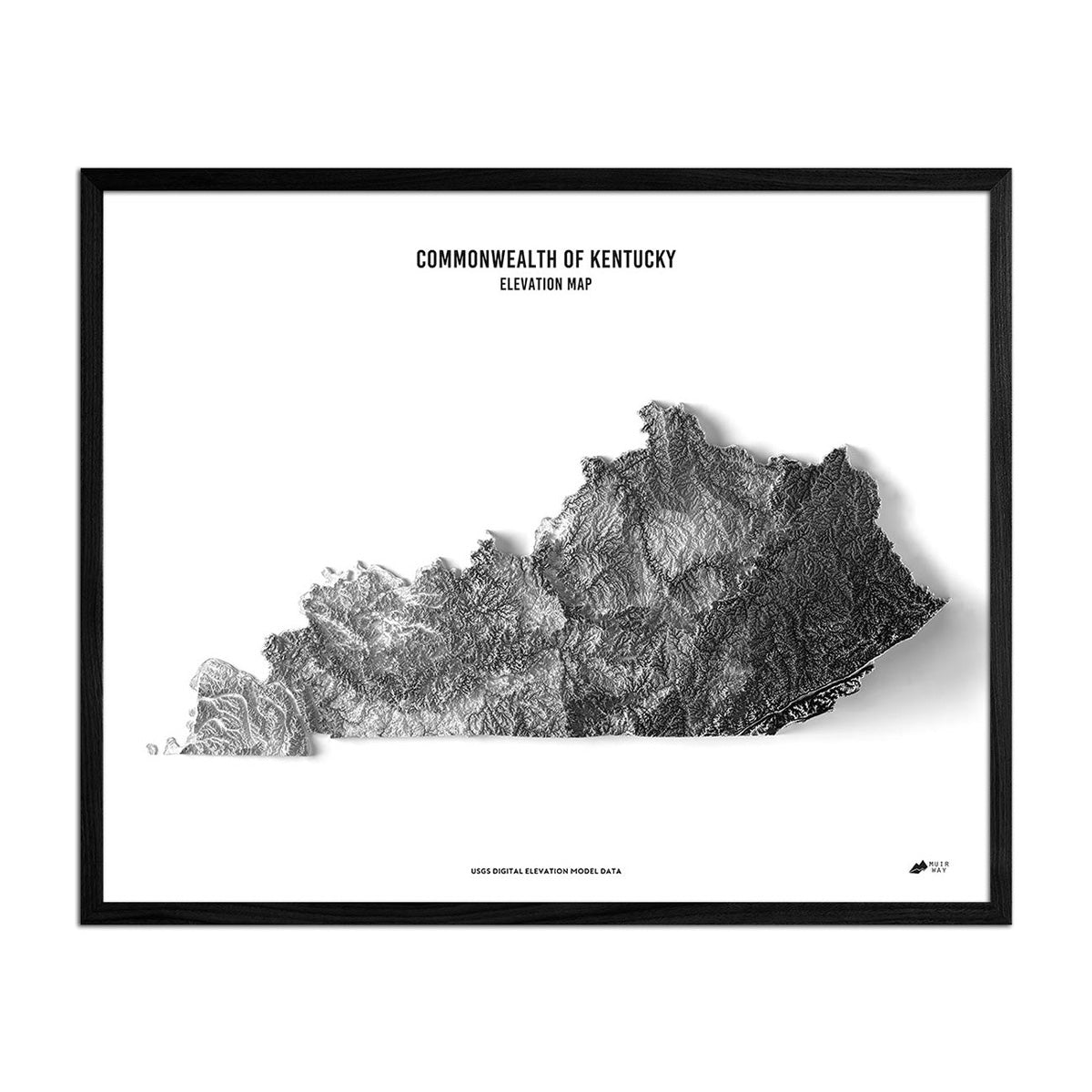
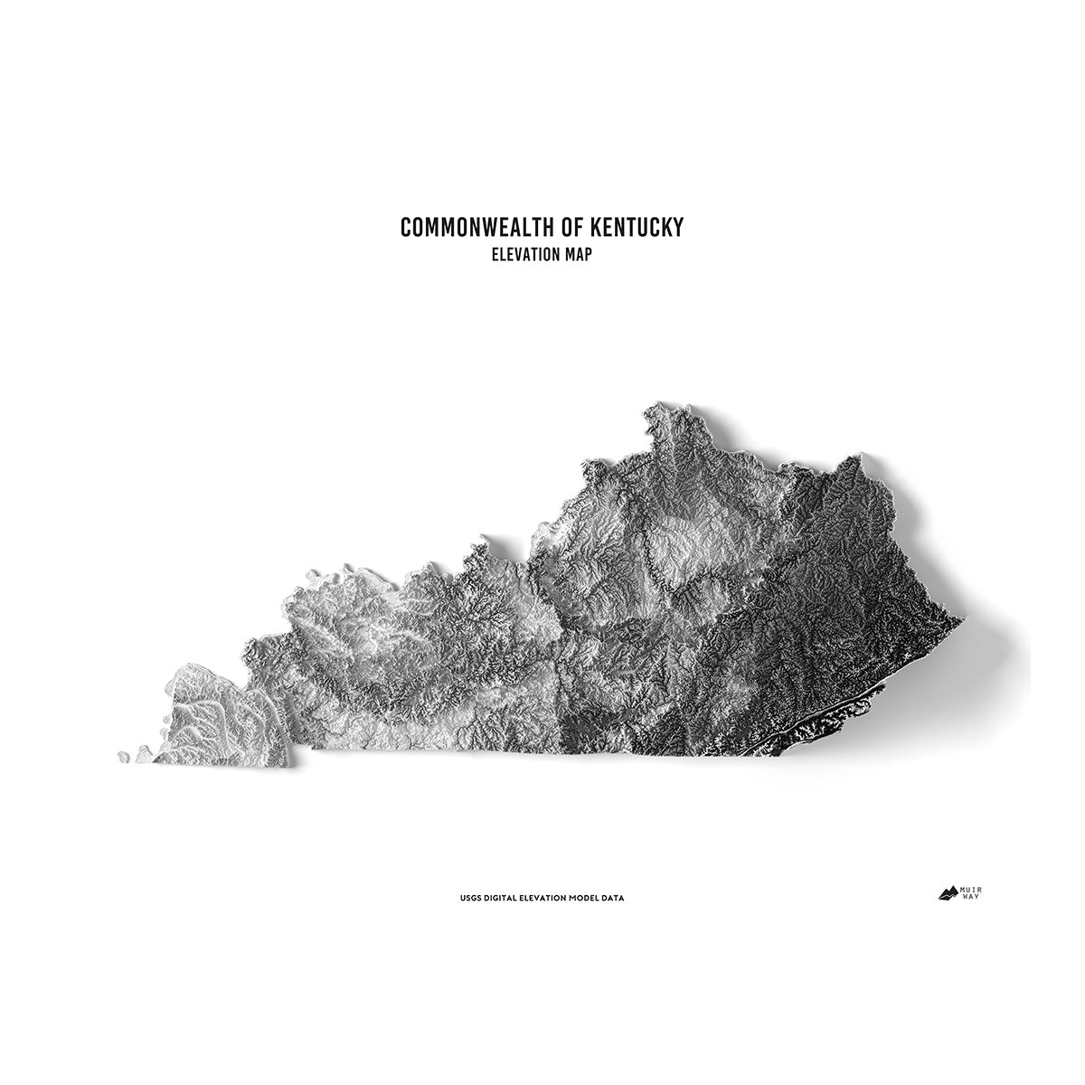
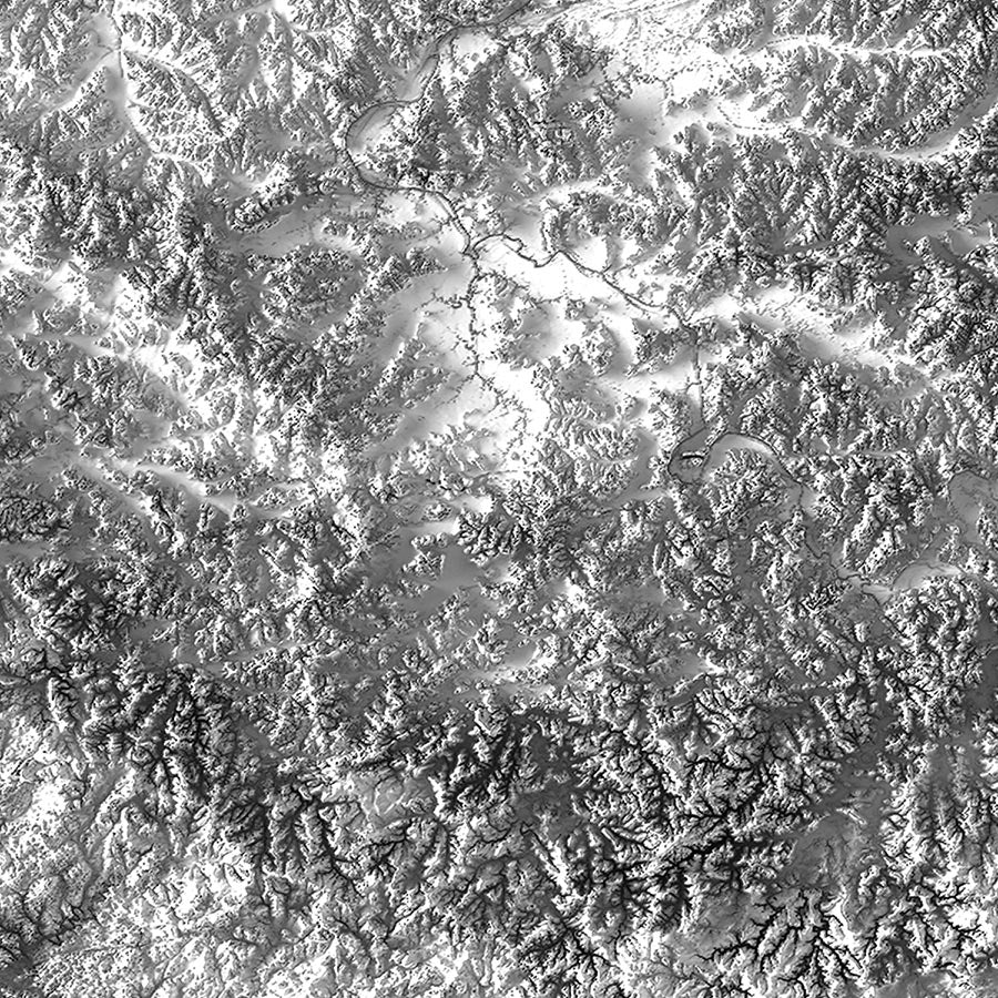
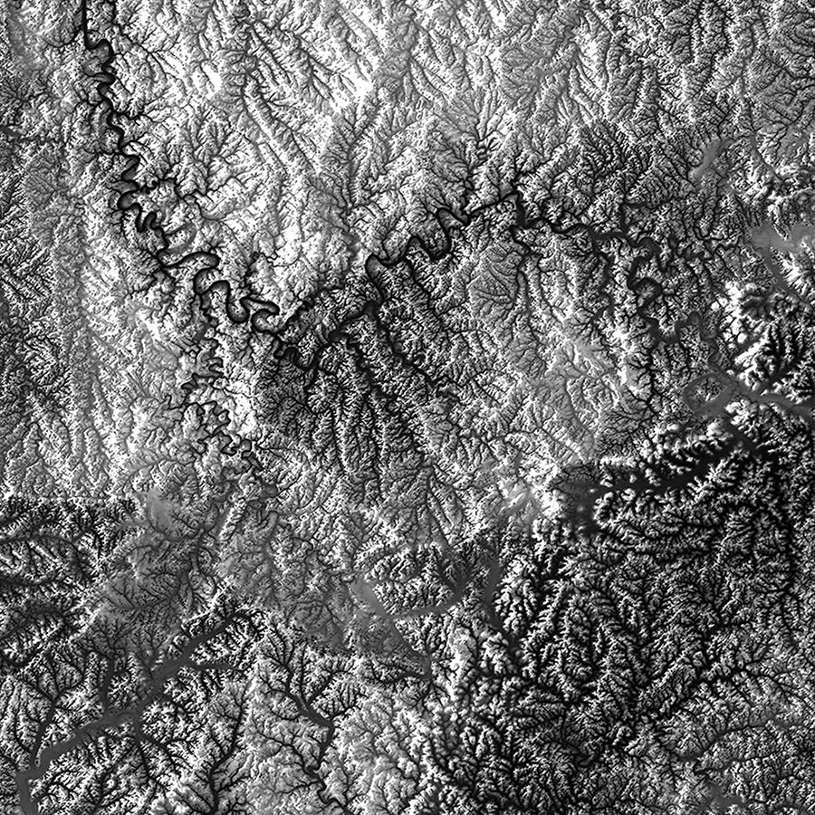
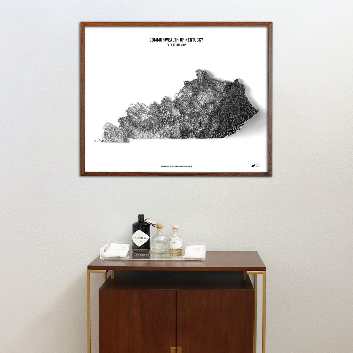
Kentucky elevation maps - Like our elevation maps, our state of Kentucky elevation map also uses Digital Elevation Data from the USGS to create a high-contrast 3-dimensional effect, this time in beautiful black and white with a white background to make it really “pop” on the page.
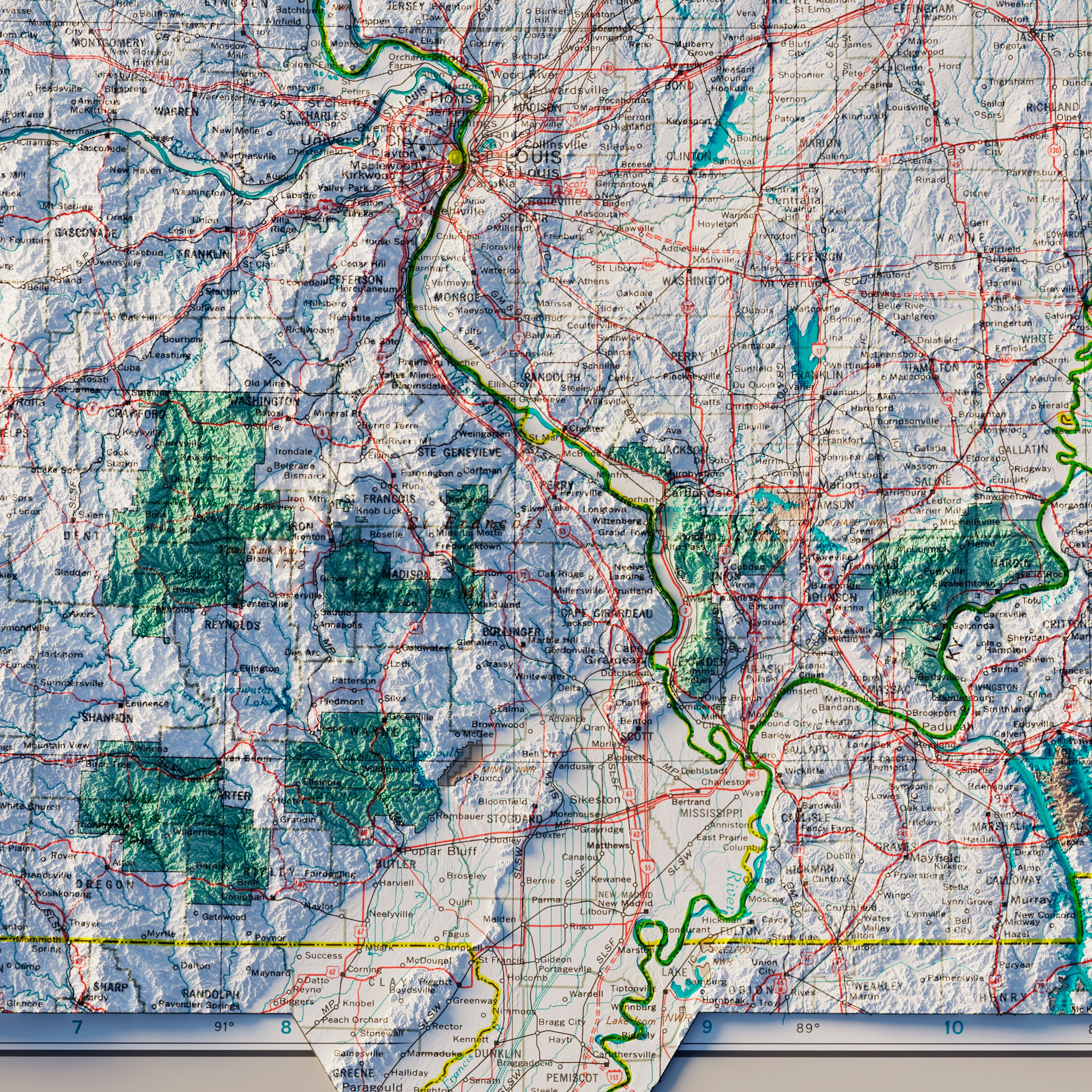
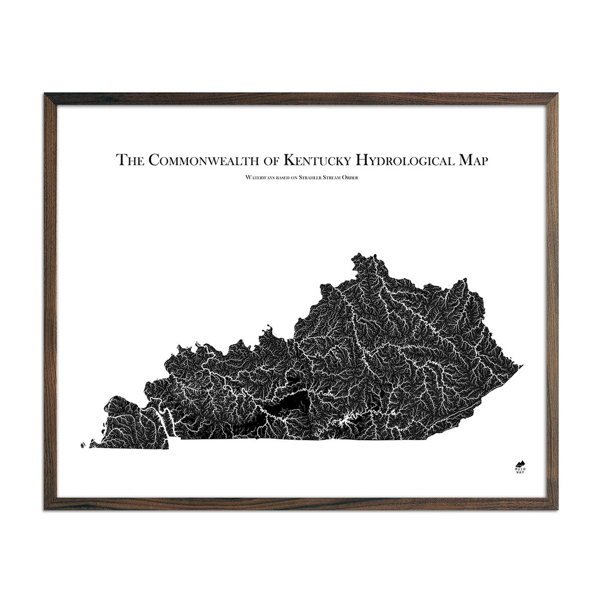
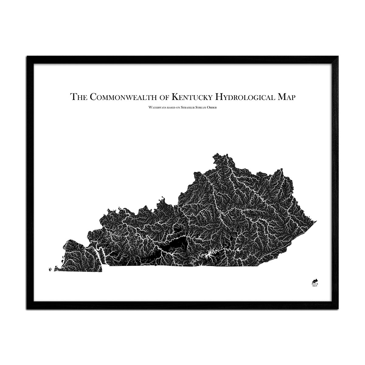
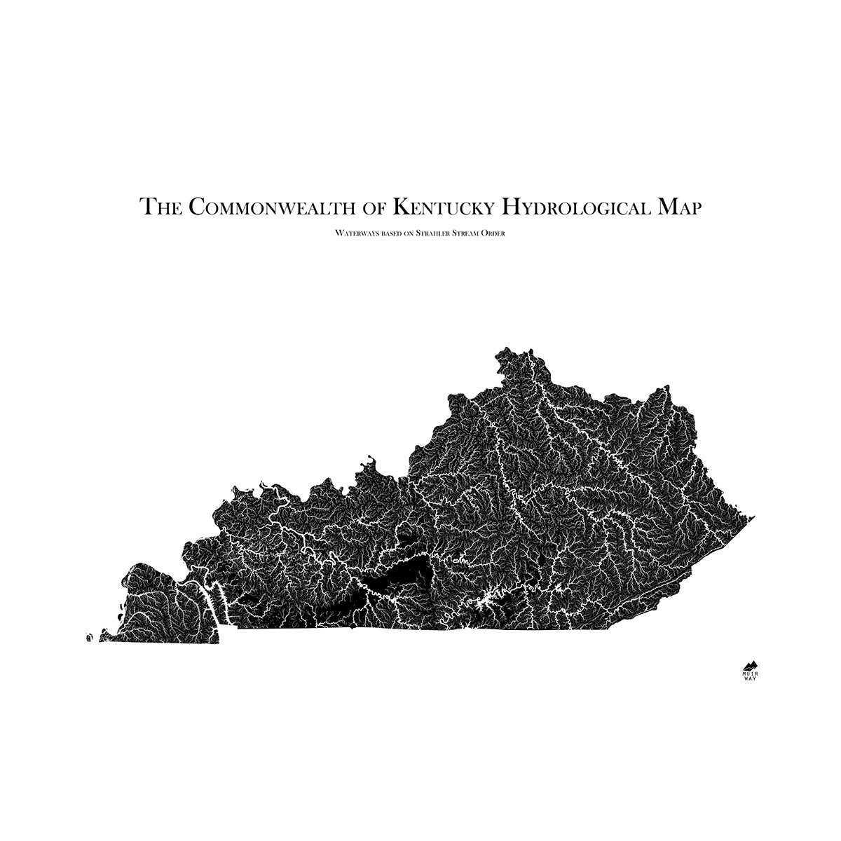
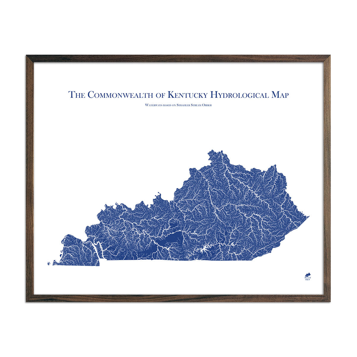
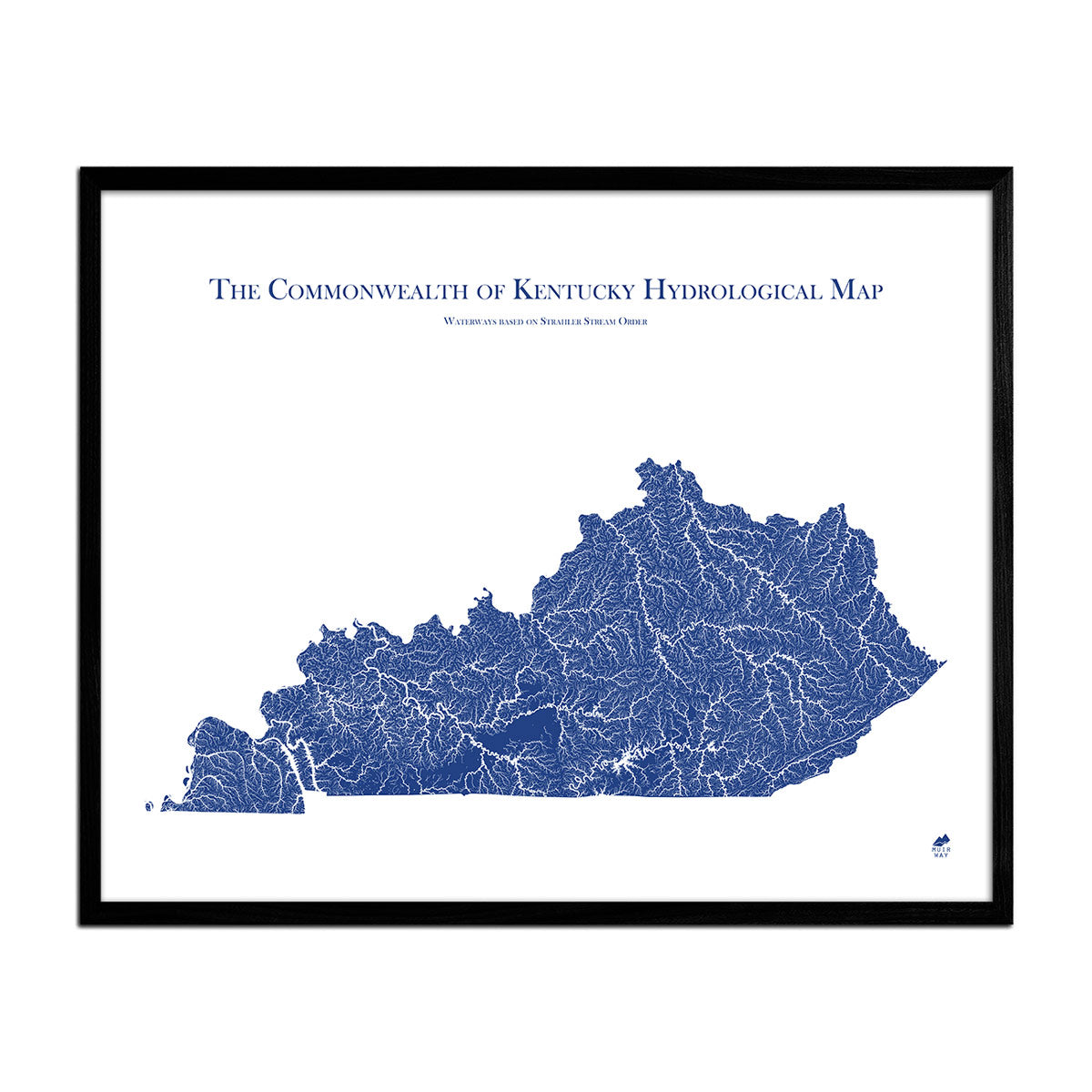
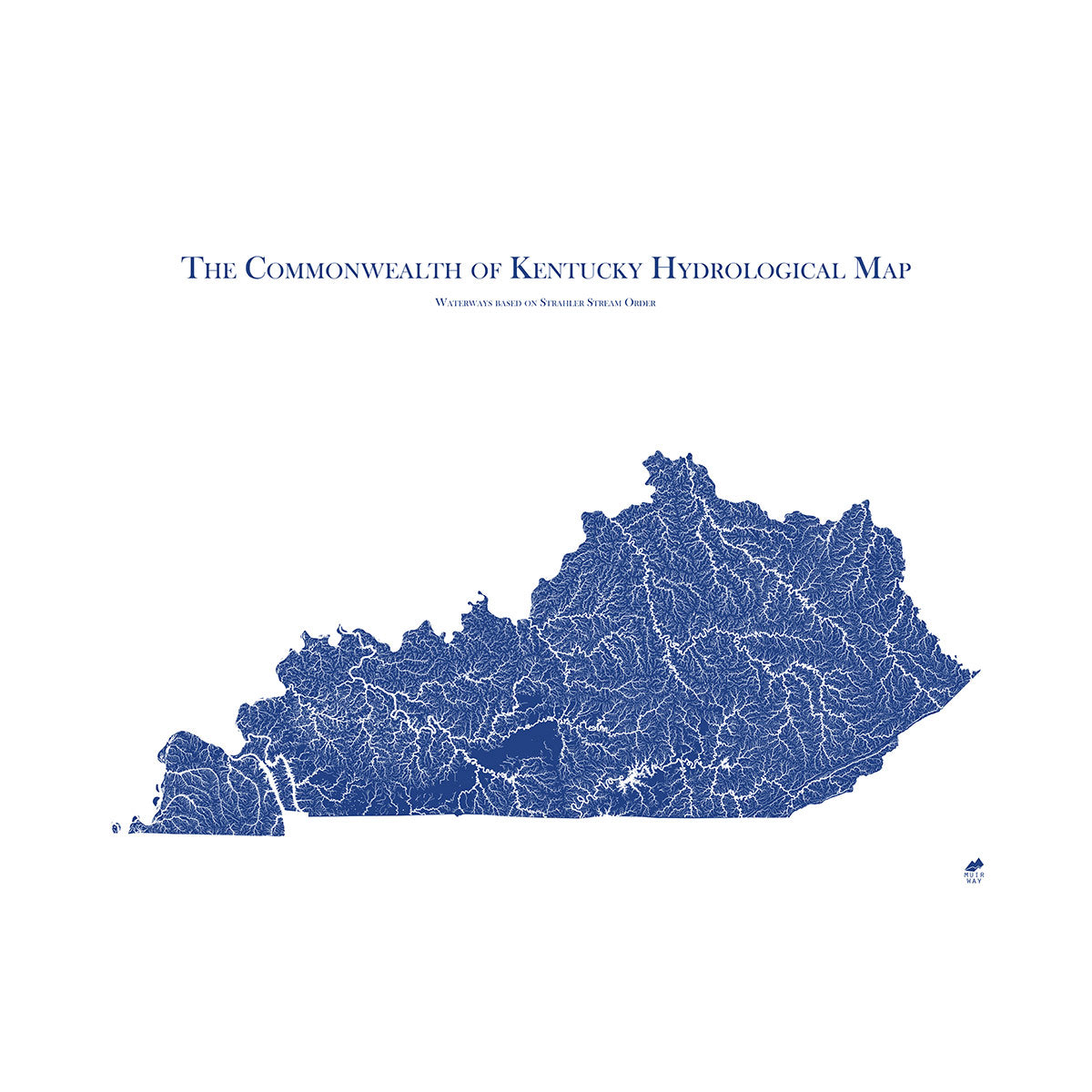
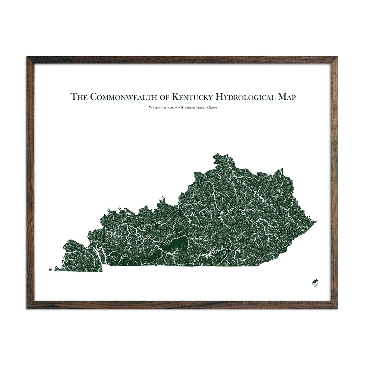
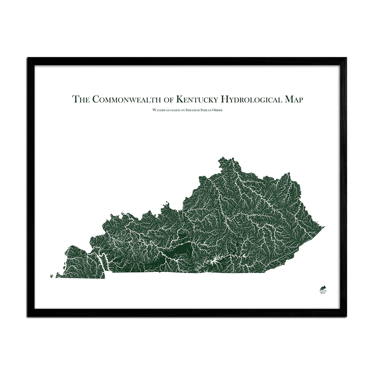
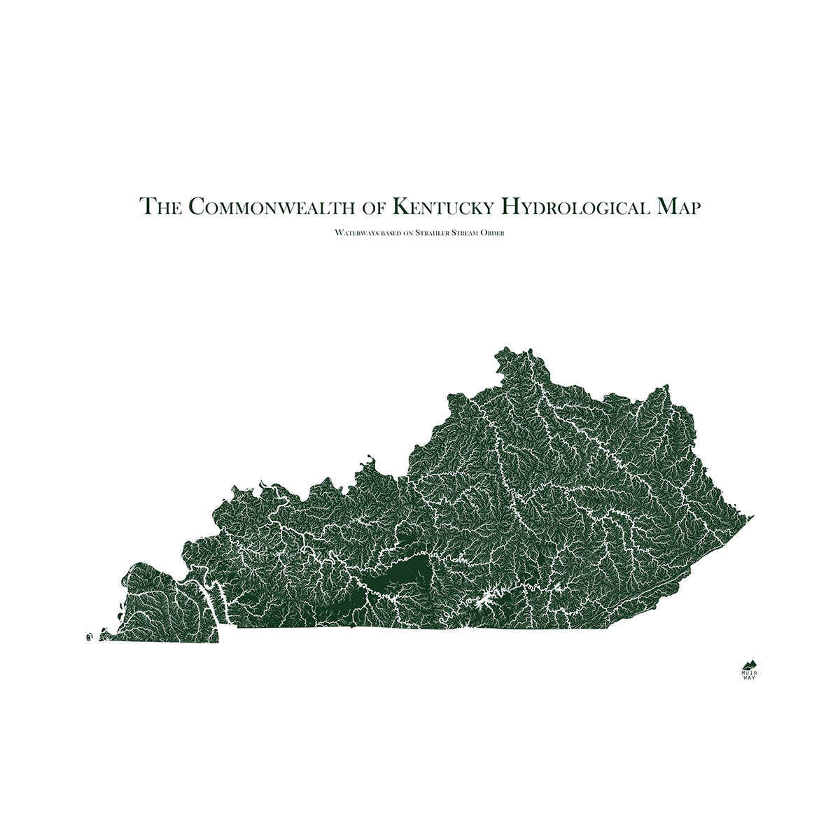
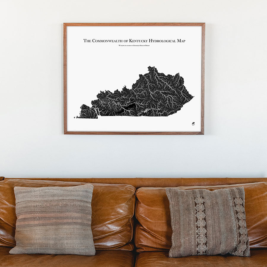
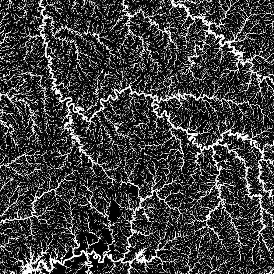
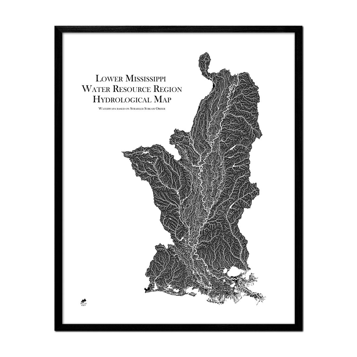
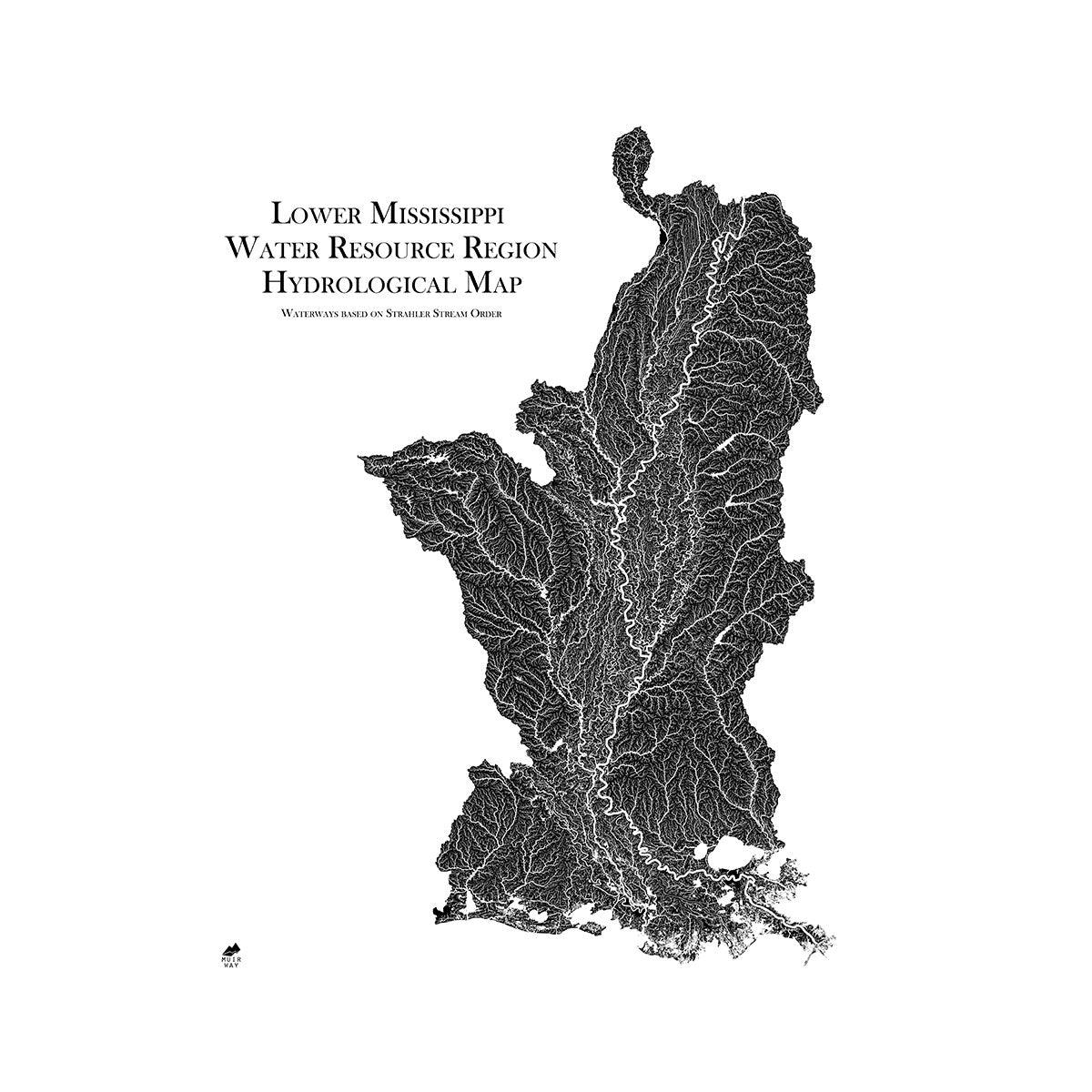
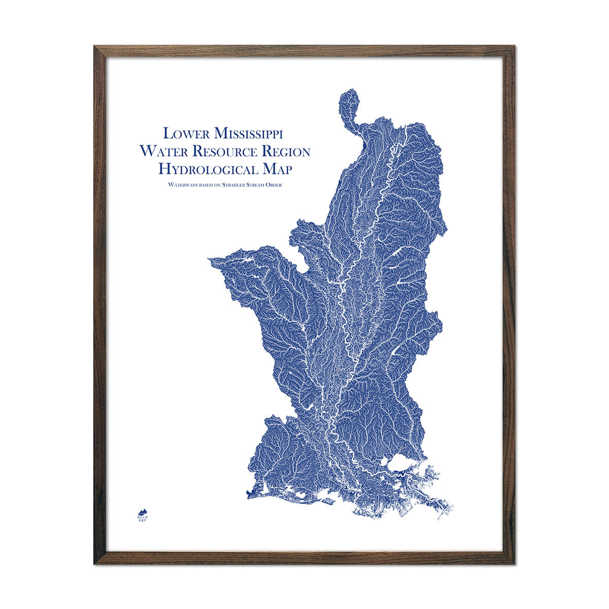
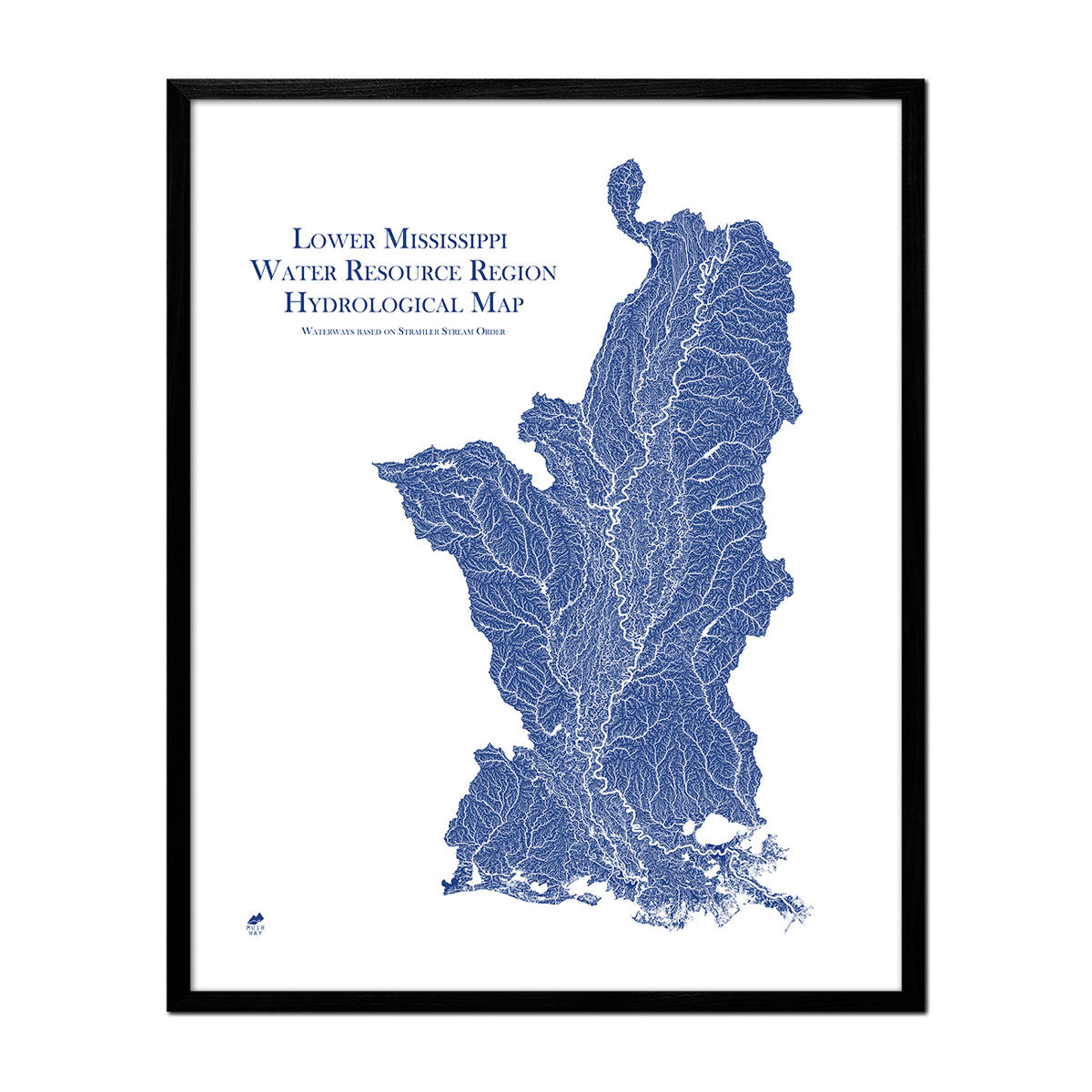
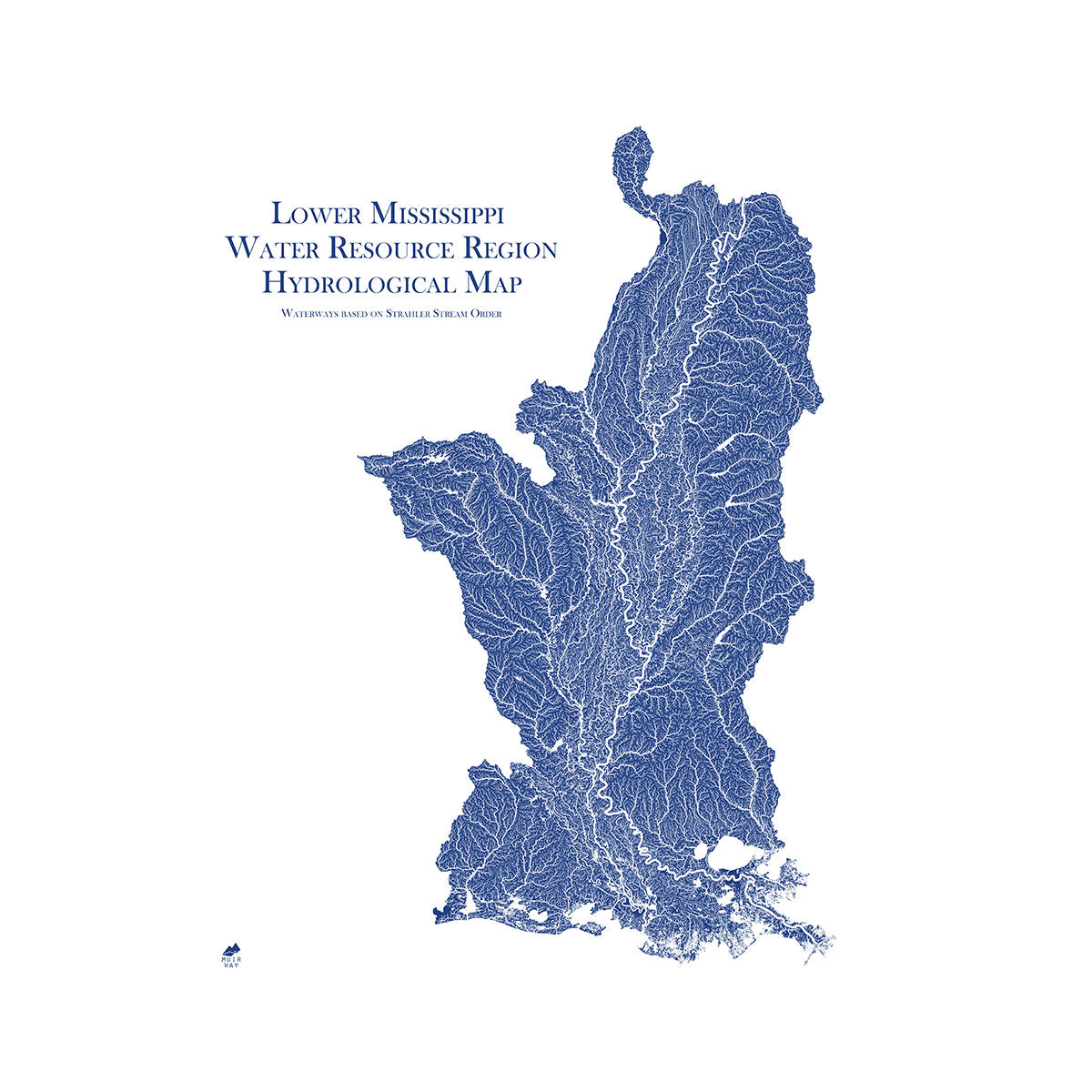
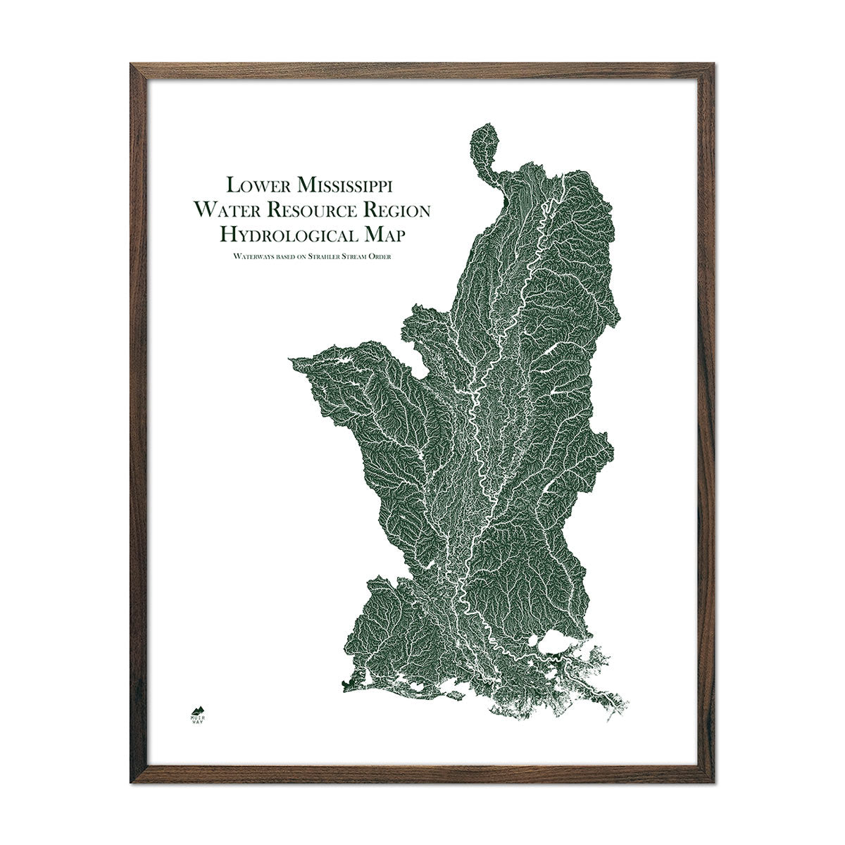
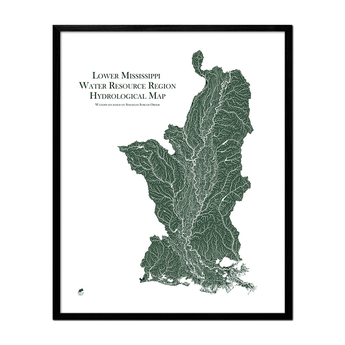
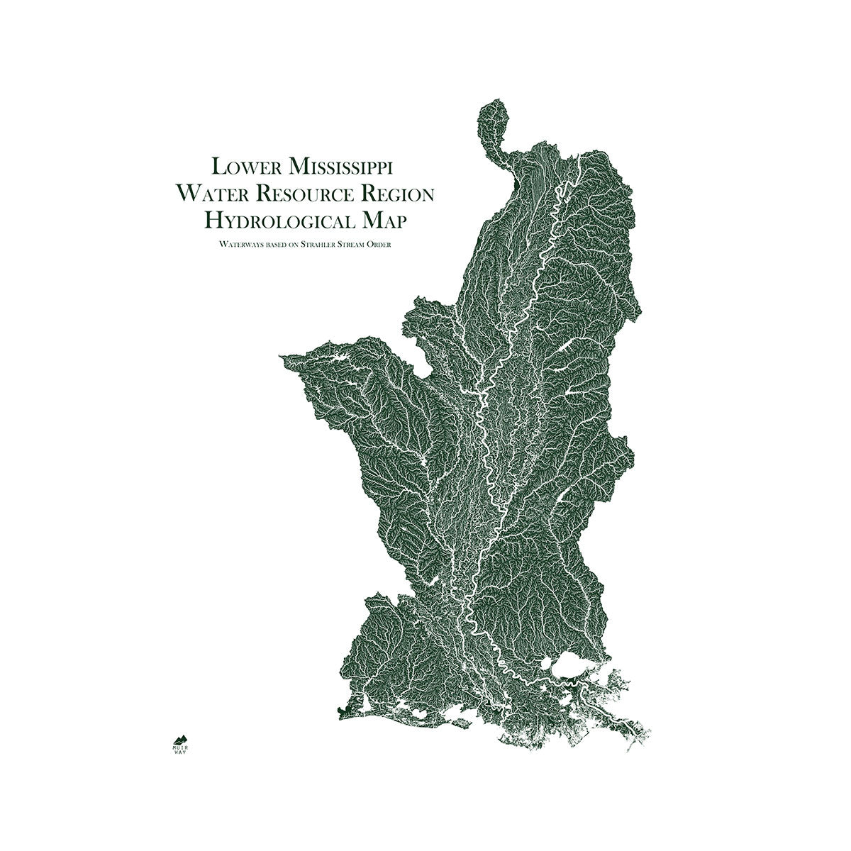
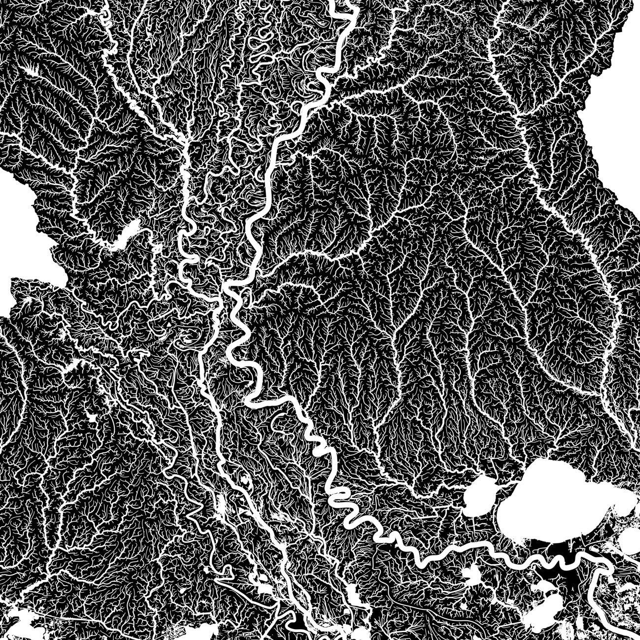
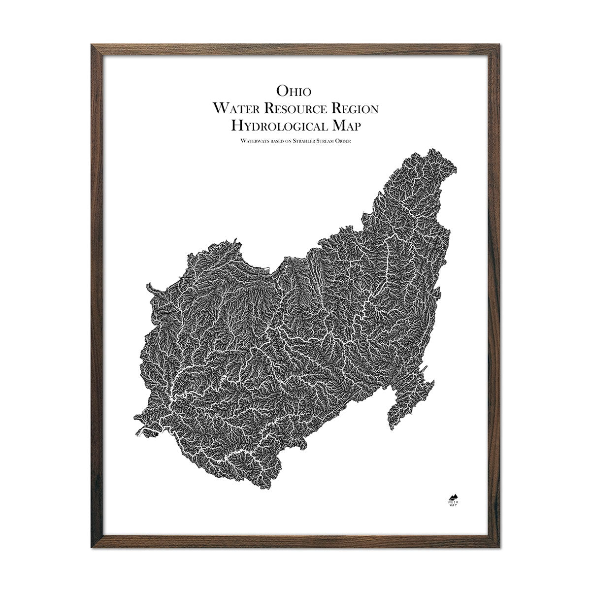
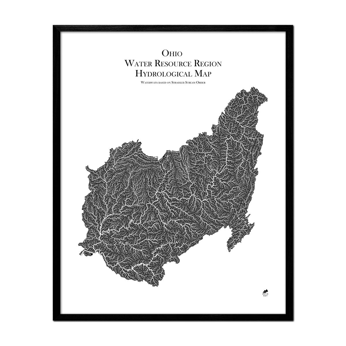
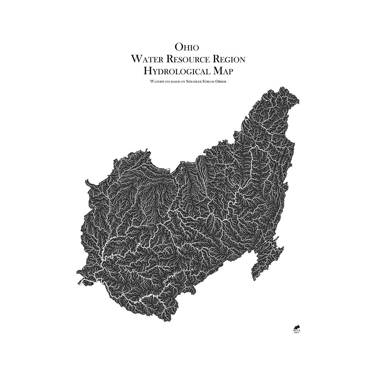
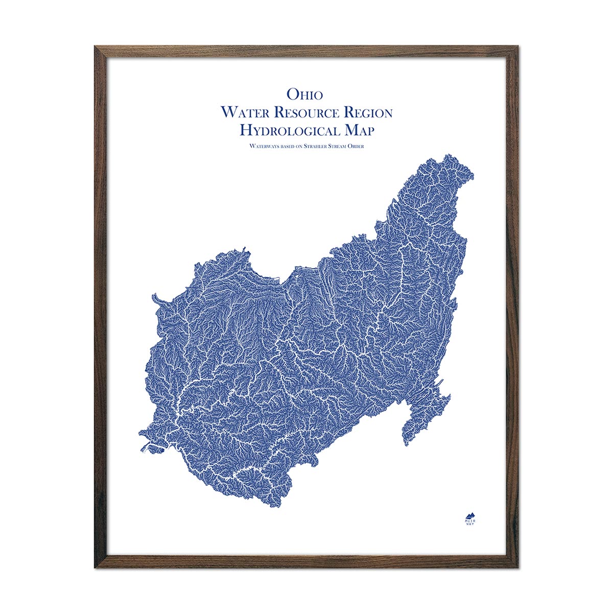
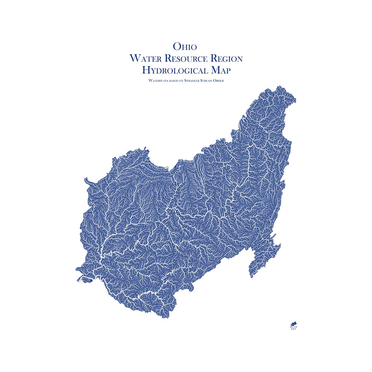
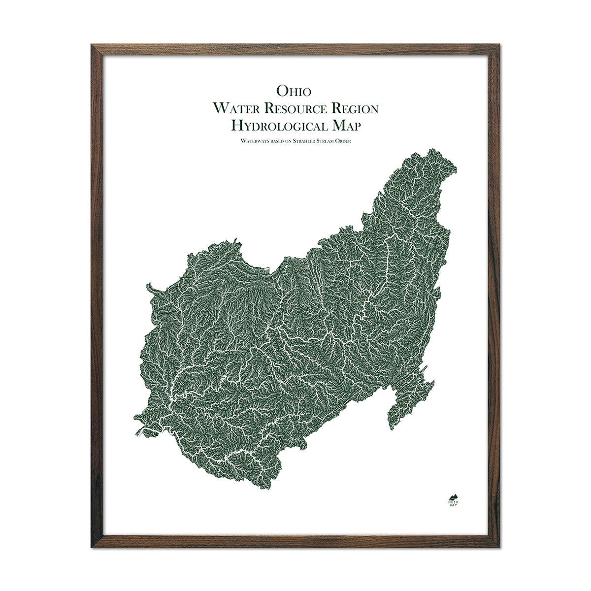
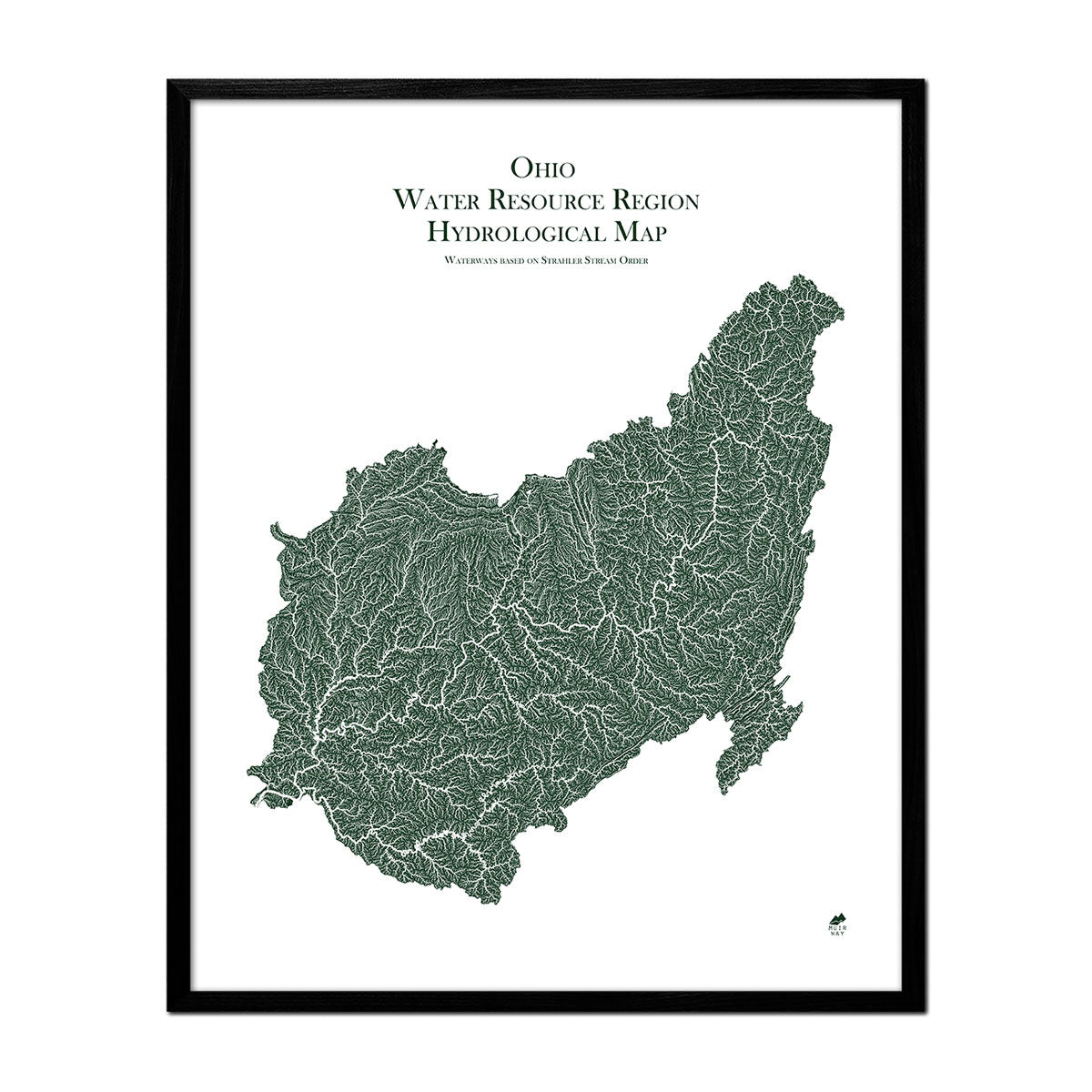
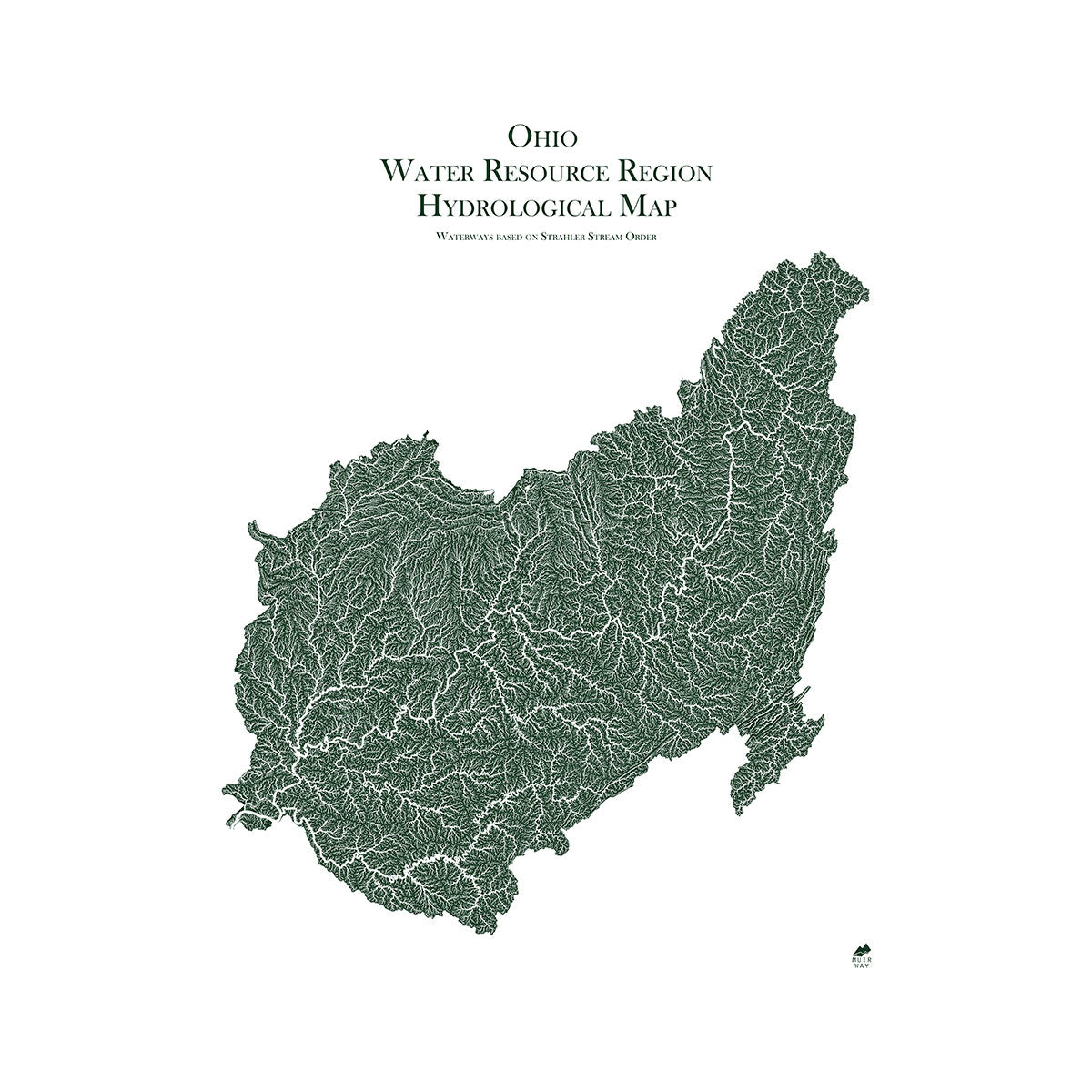
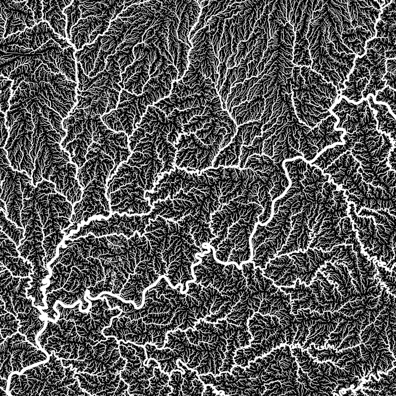
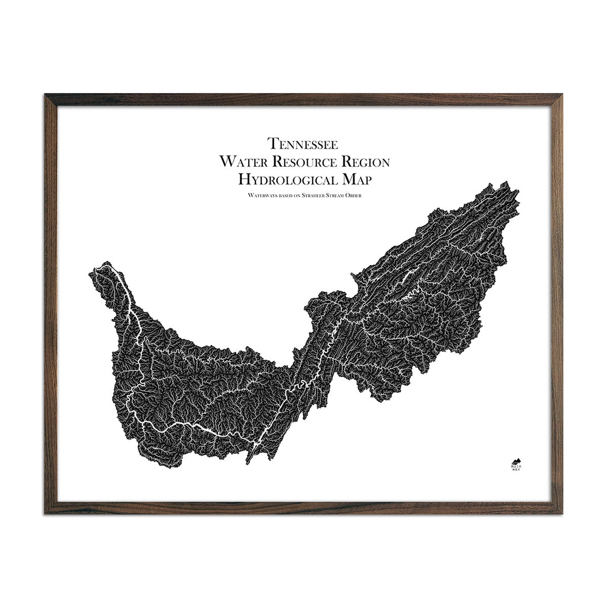
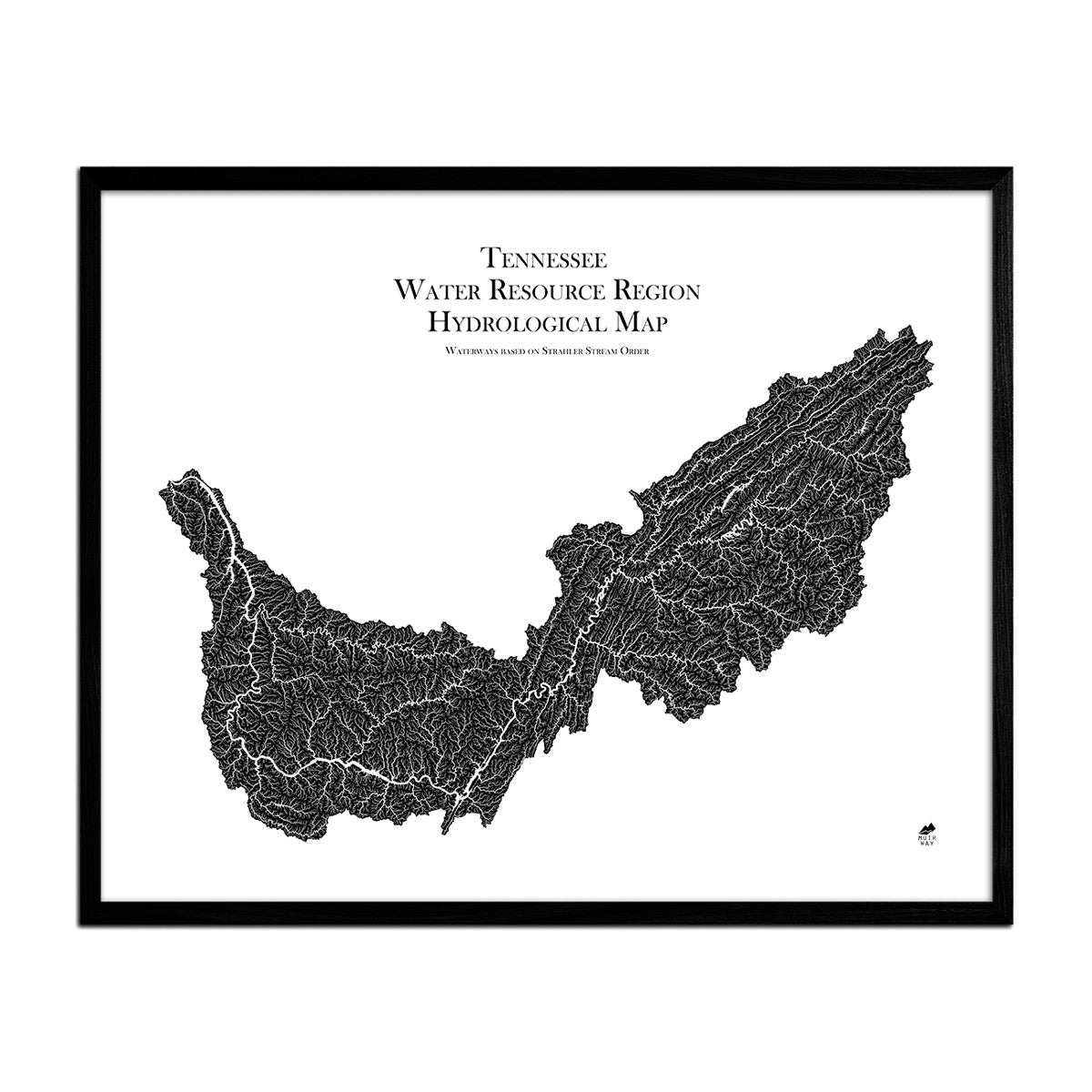
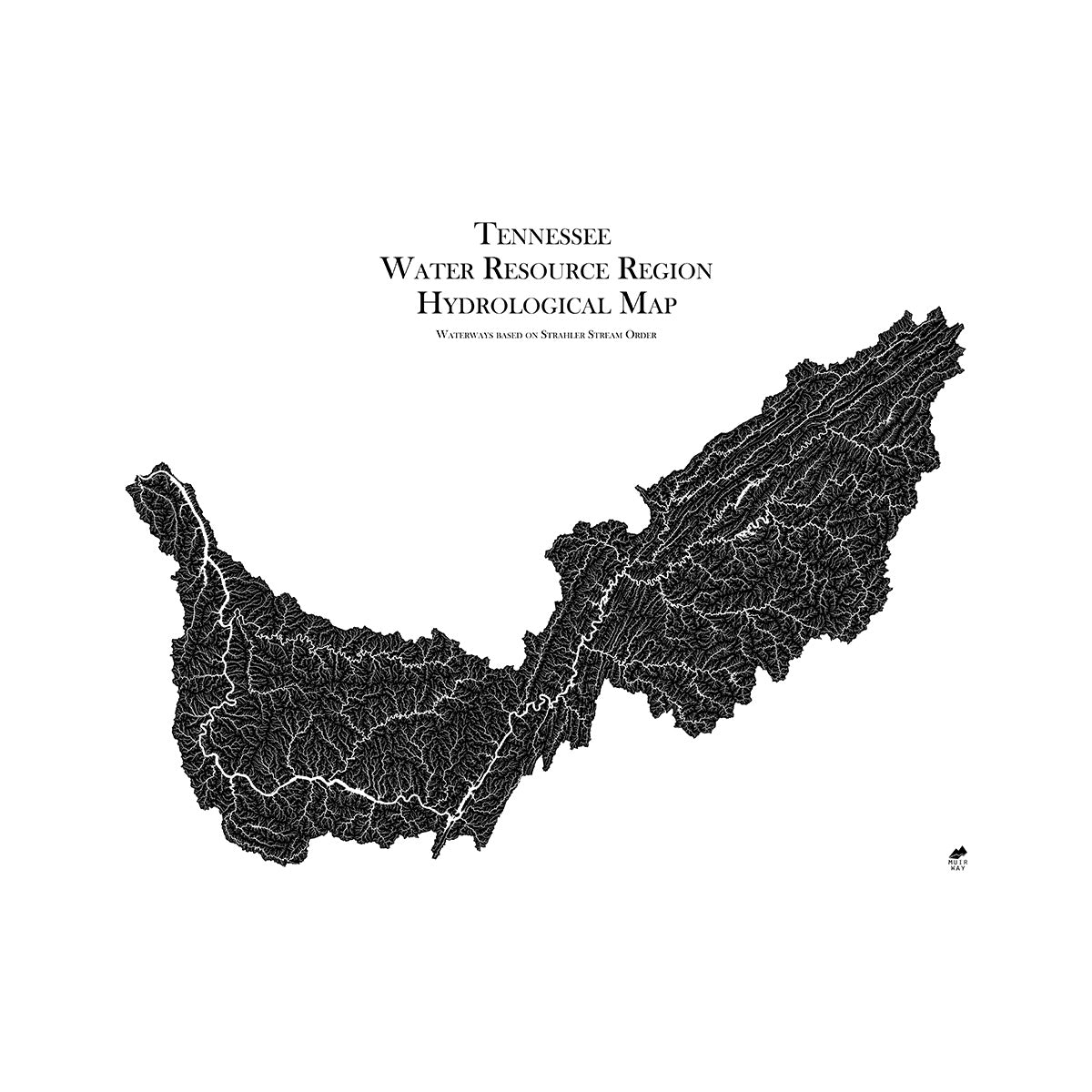
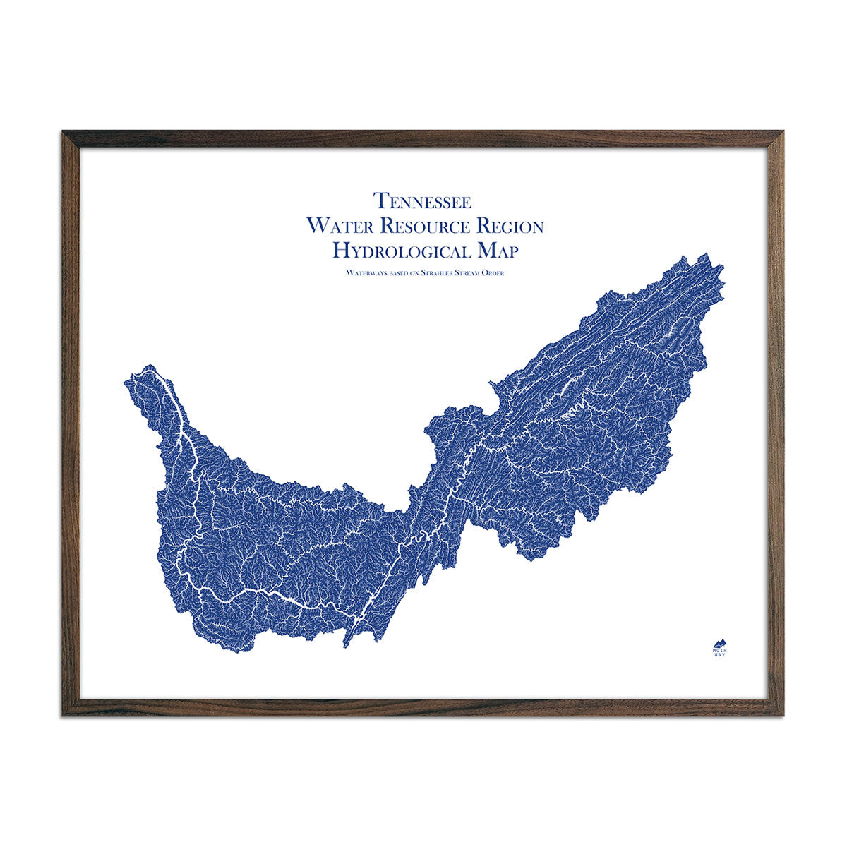
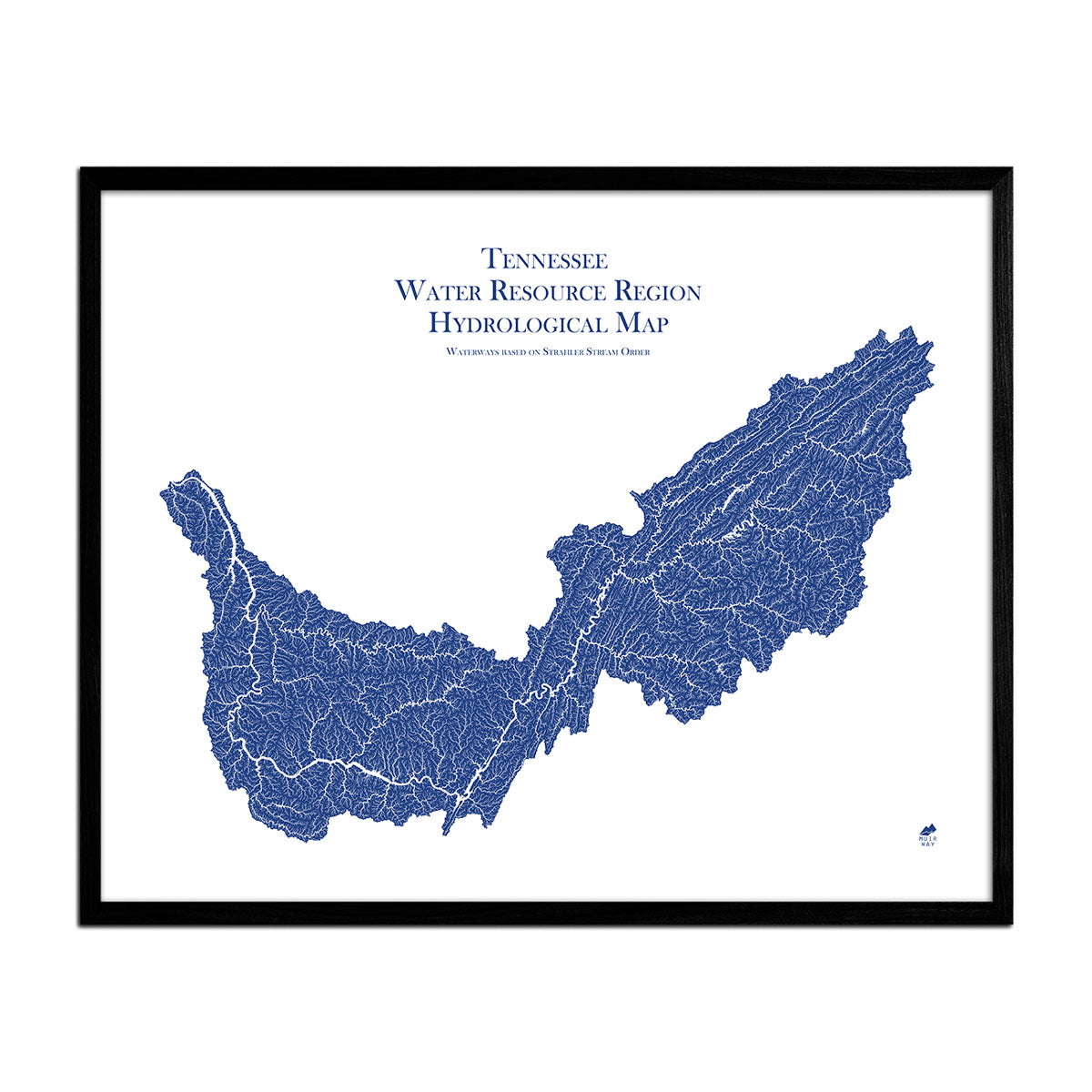
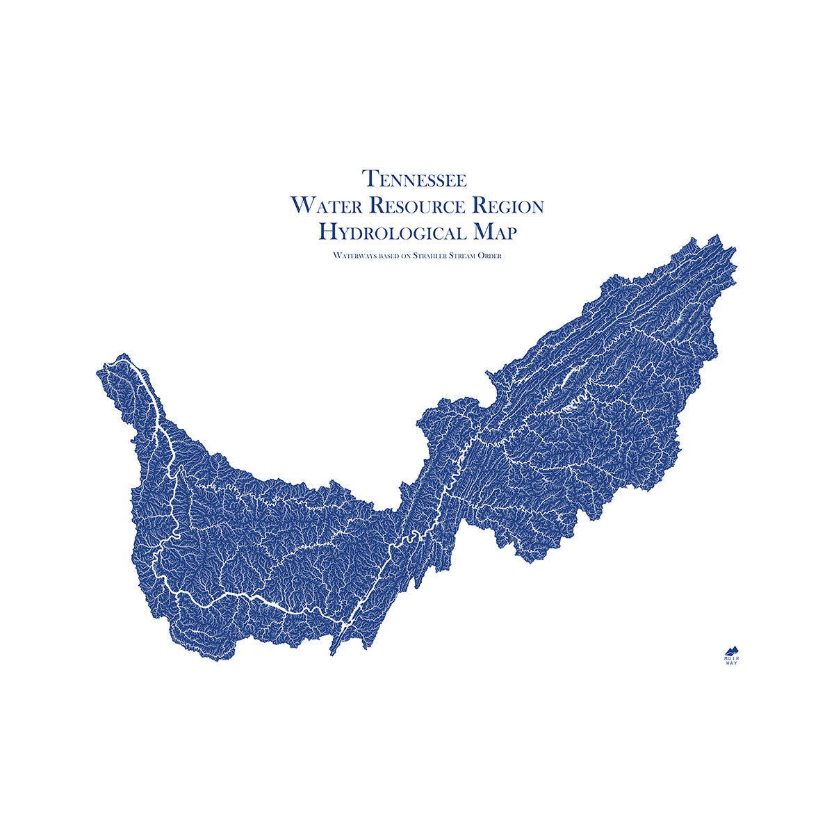
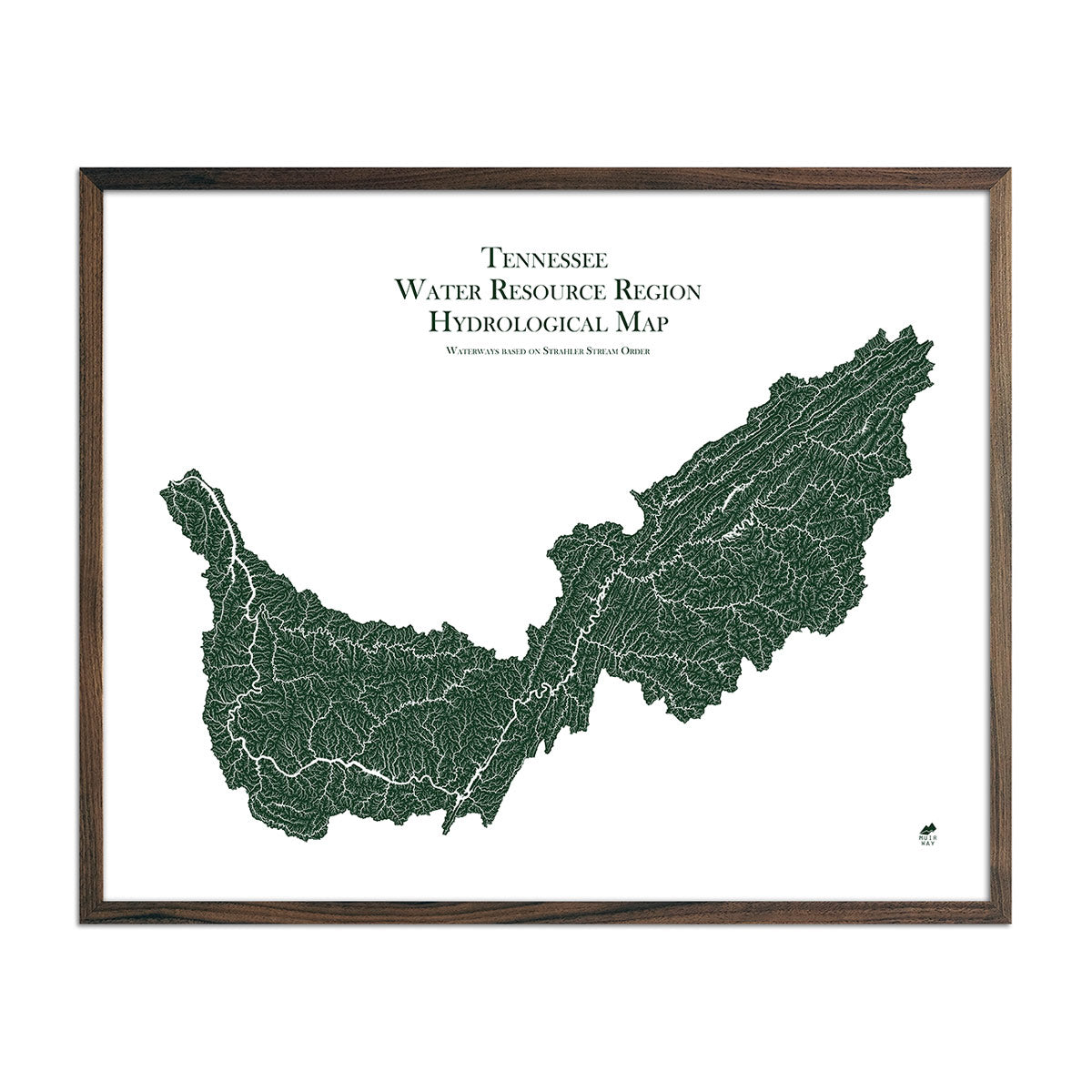
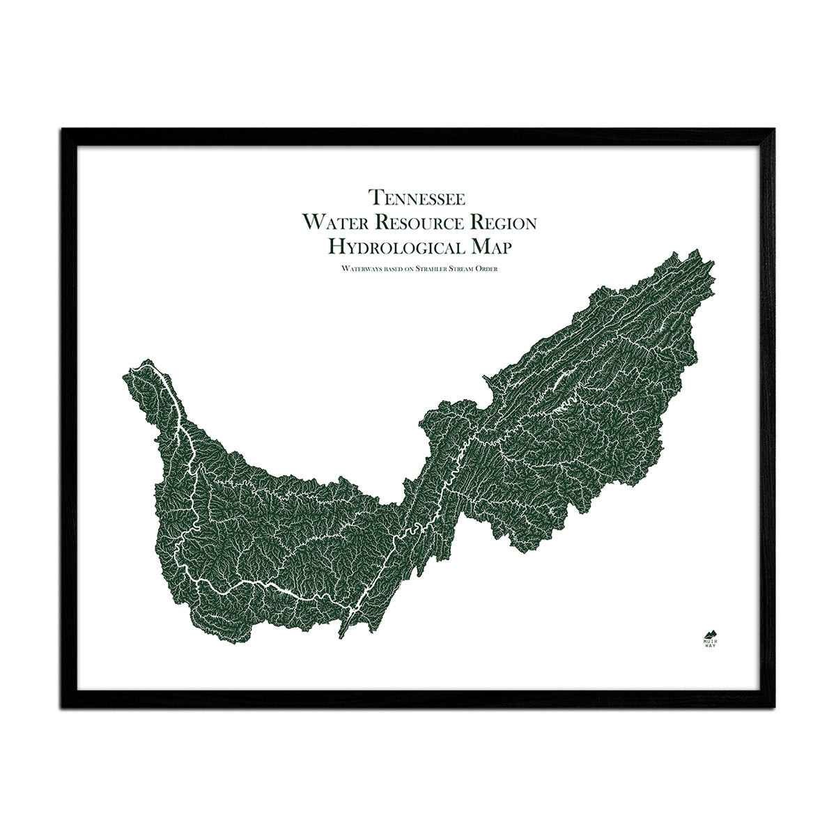
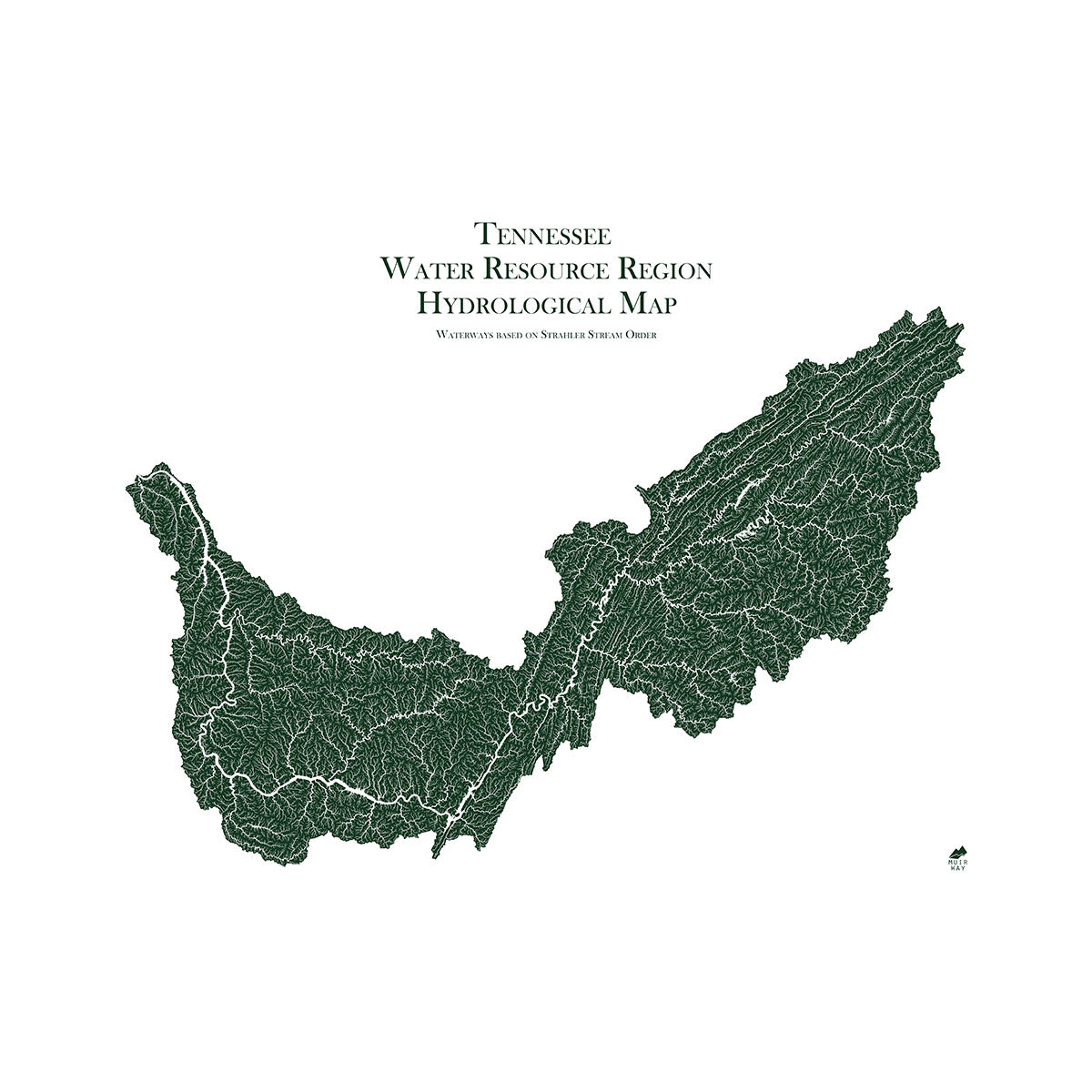
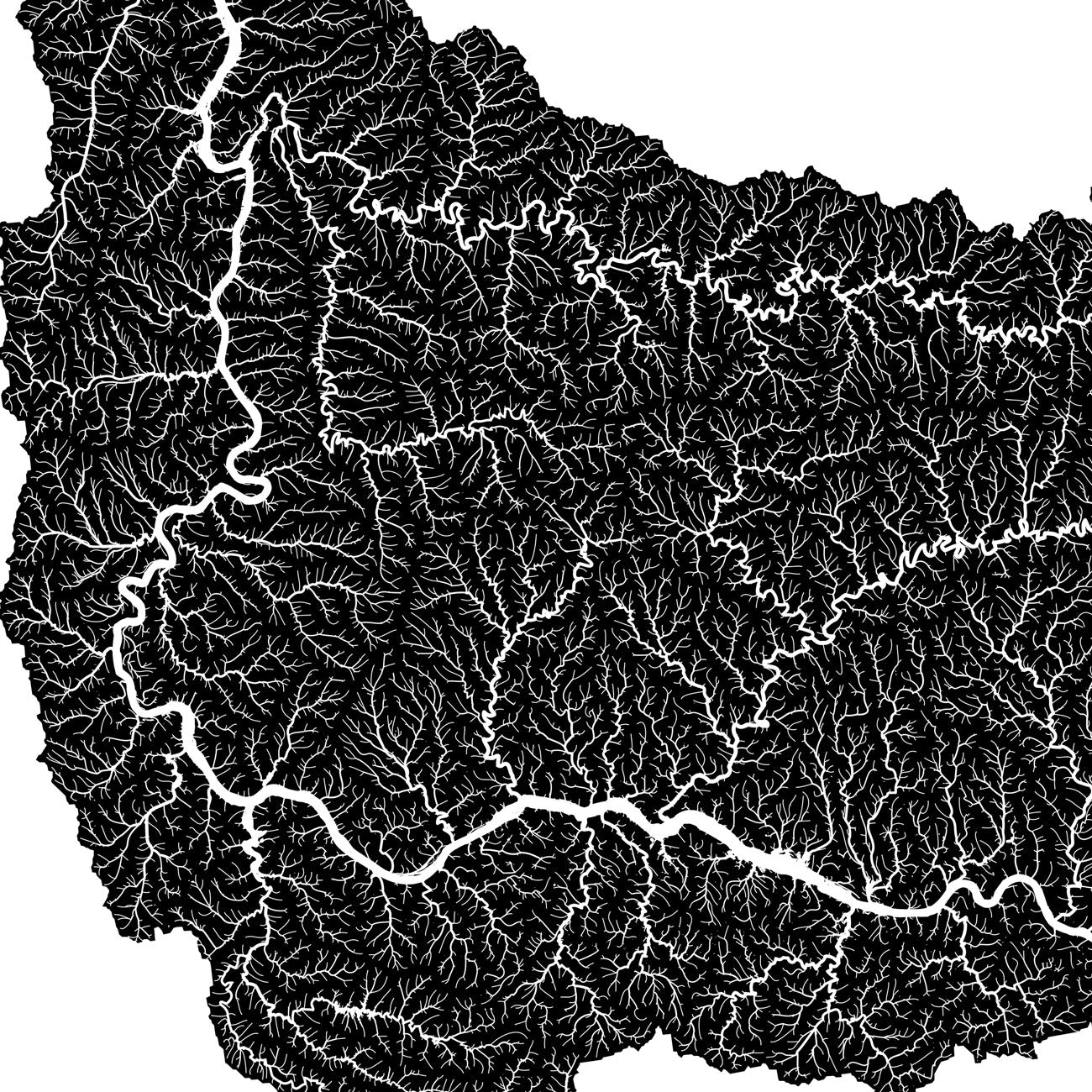
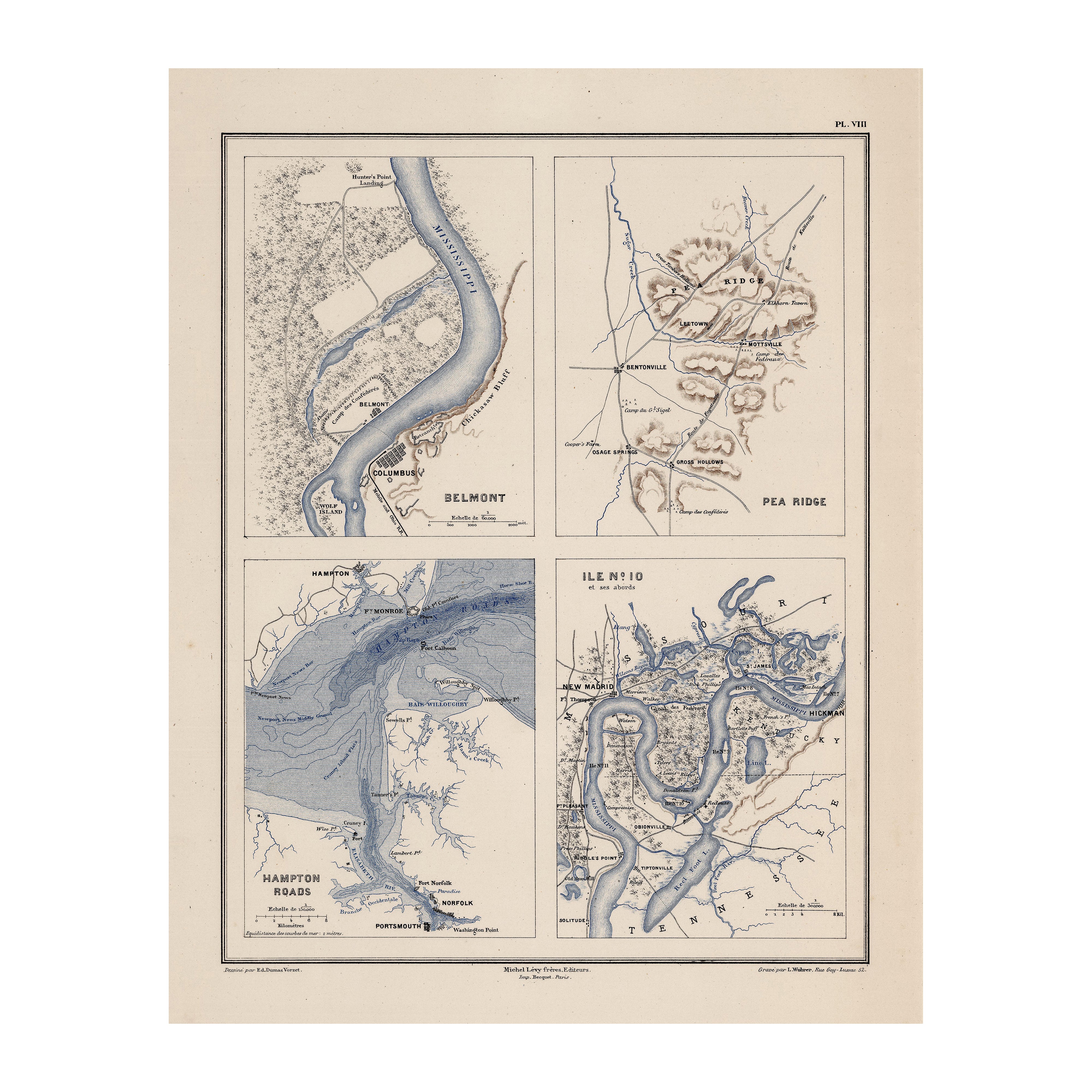
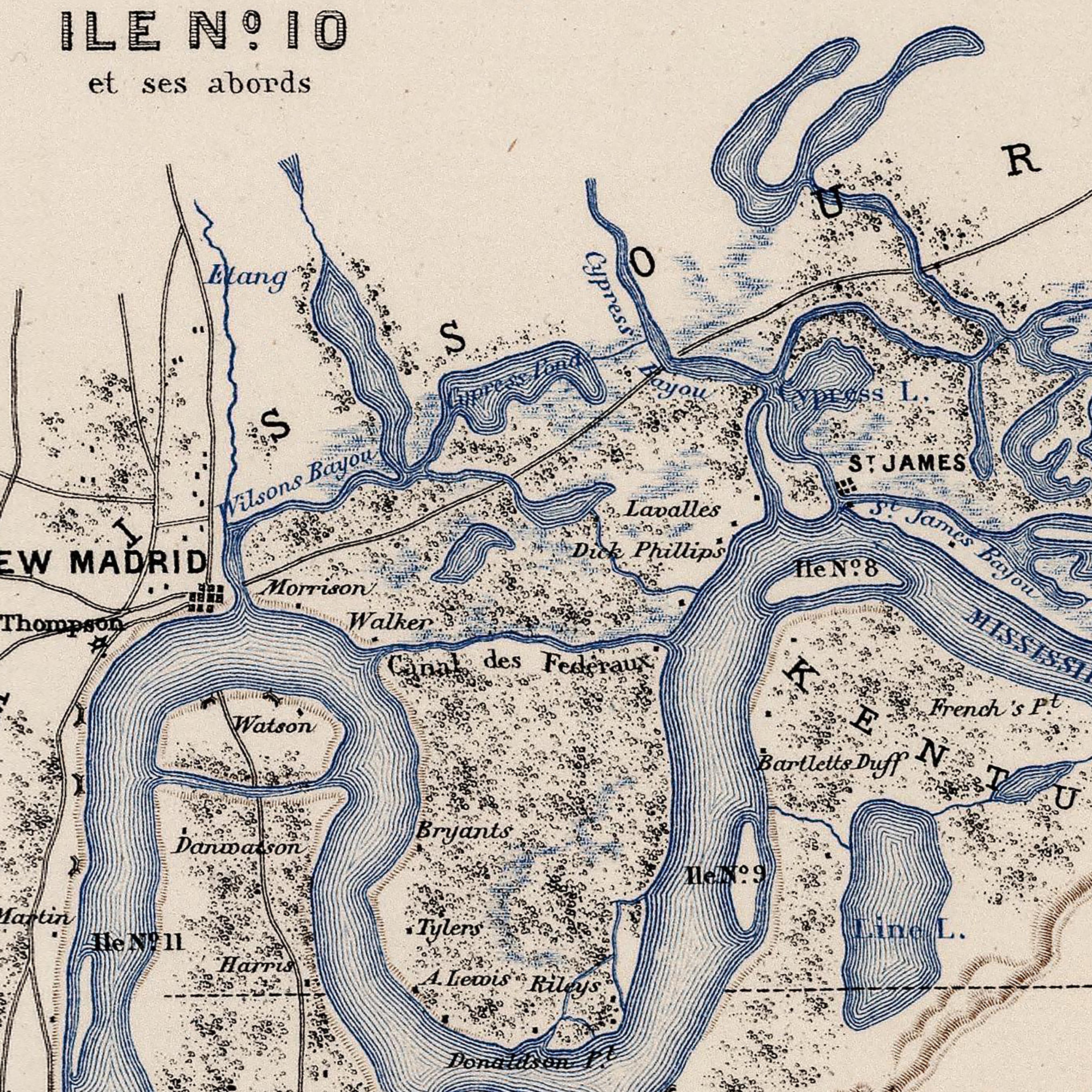
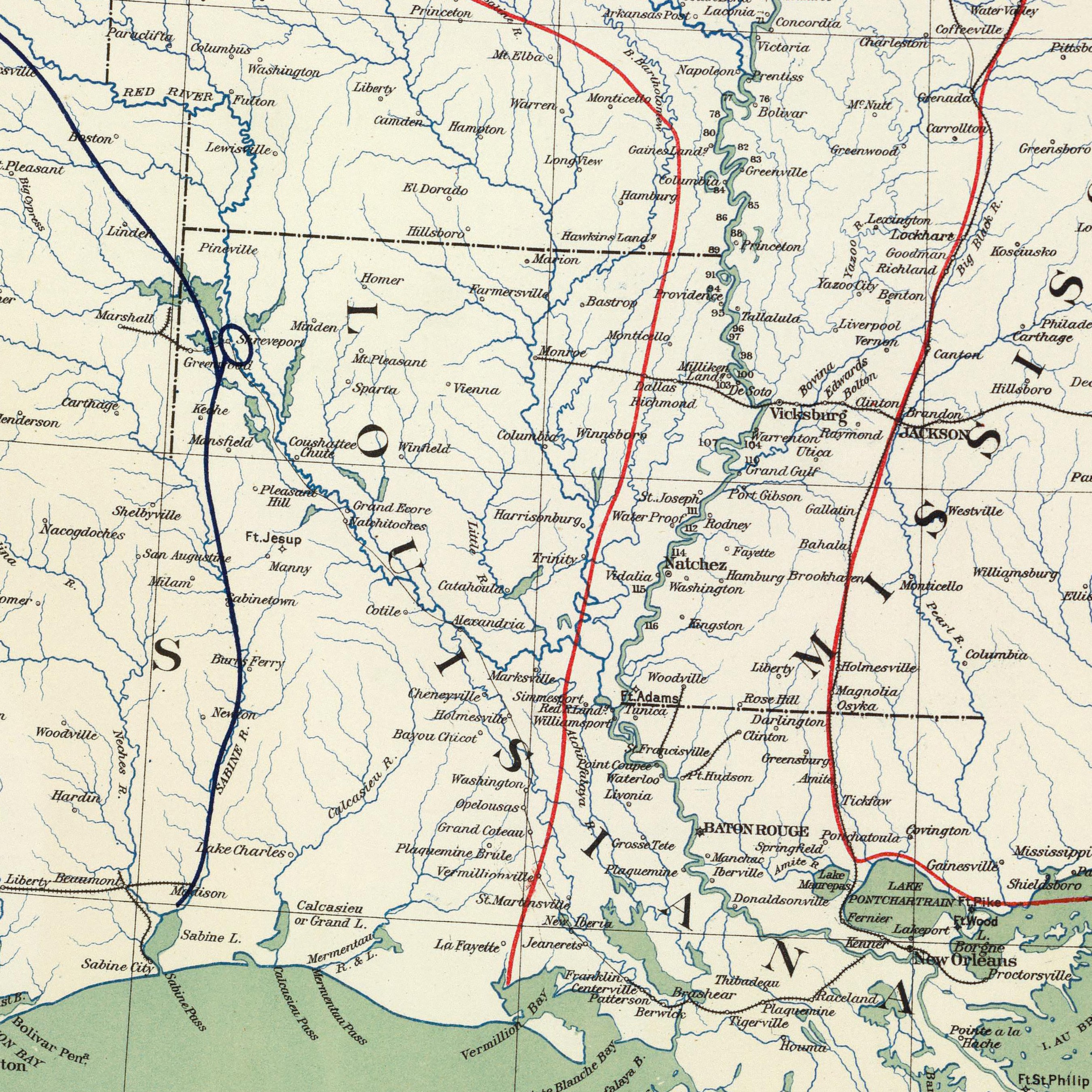
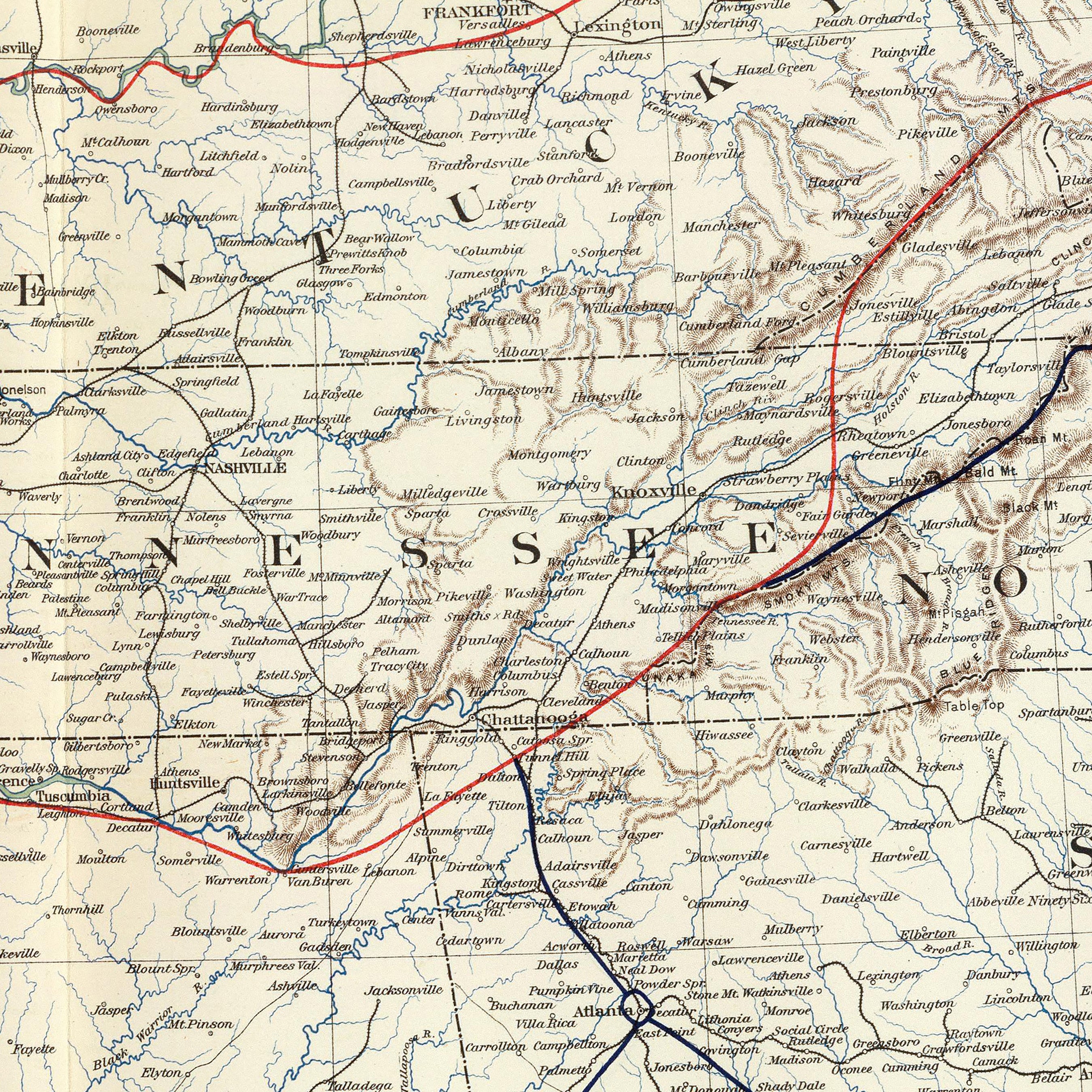
Kentucky hydrological maps - Our high contrast hydrological maps deliver meticulous detail you can appreciate up close. For extra clarity, we apply a method called the Strahler Stream Order to show the hierarchy of streams as they flow from their source, with rivers shown thicker as they acquire the flow of tributaries. Trace rivers and lakes on our Kentucky hydrology map and you’ll see every single river and intermittent stream, as well as all bodies of water greater than 0.2 mi in diameter, in the whole state. Want to see the bigger picture? Try our Lower Mississippi regional hydrological map, Ohio Regional hydrological map, or our Tennessee regional hydrological map. Hydrological maps are available in black, blue, or green.
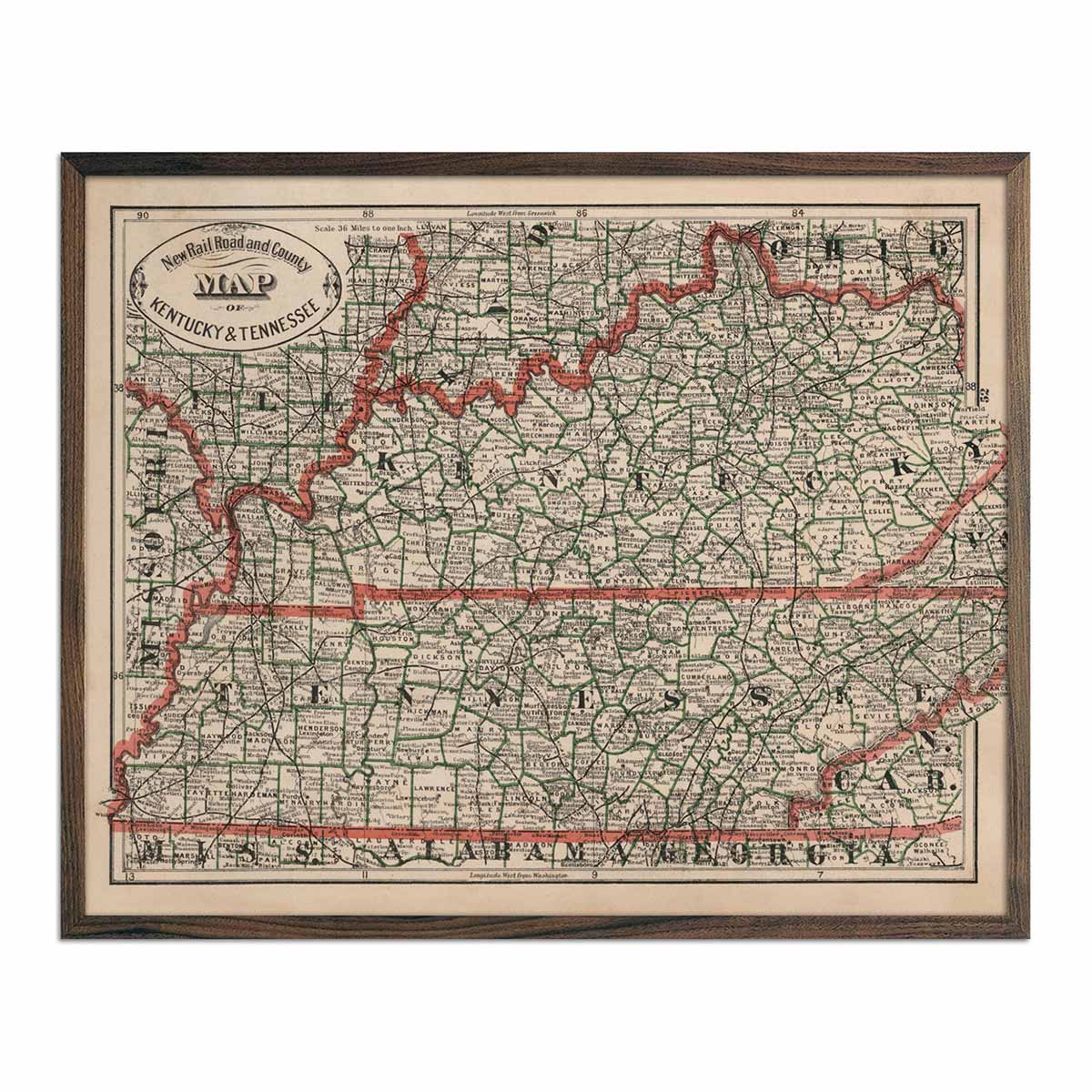
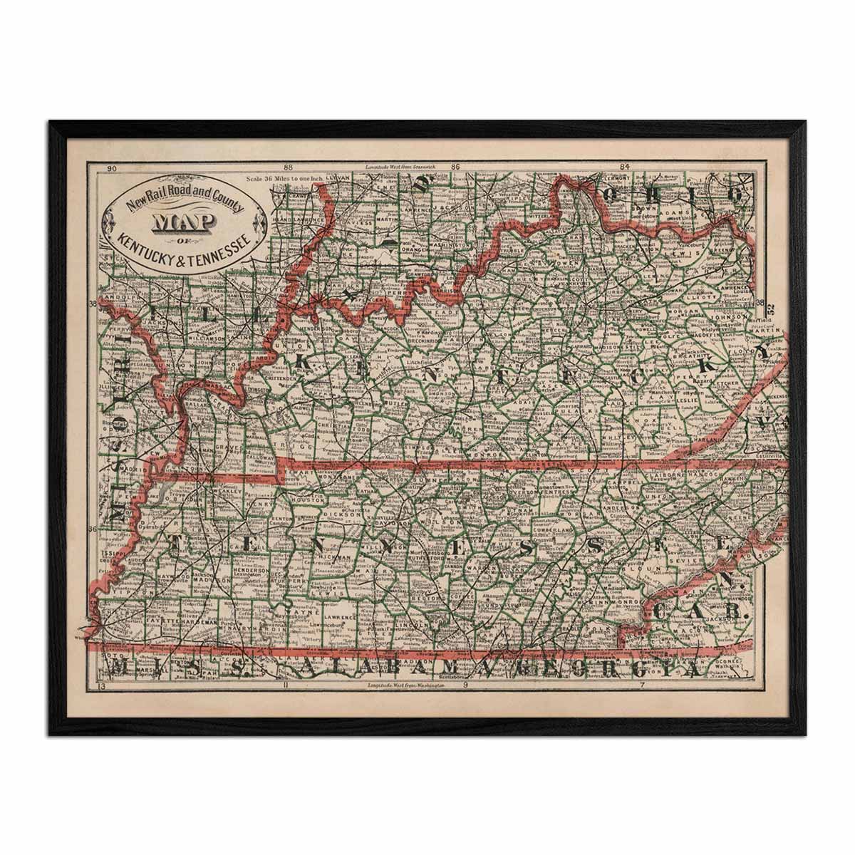
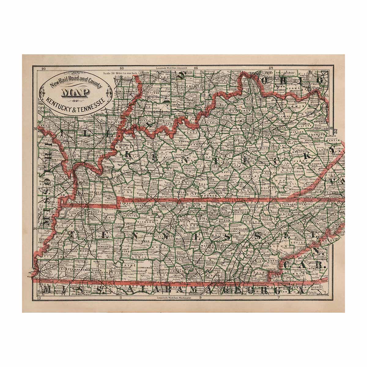
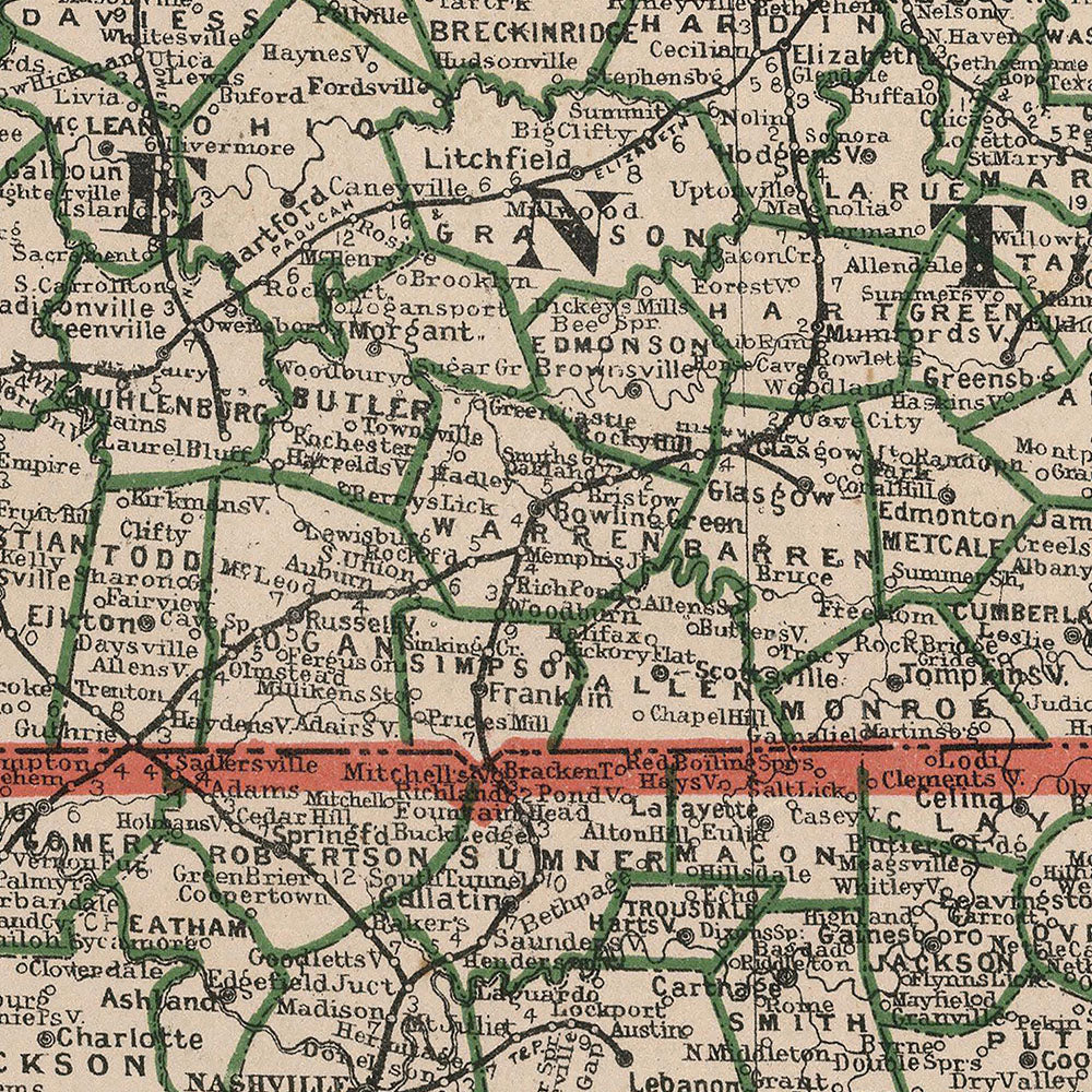
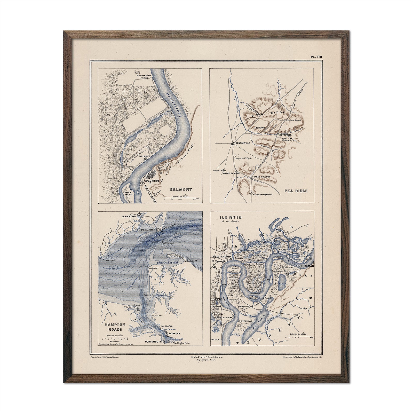
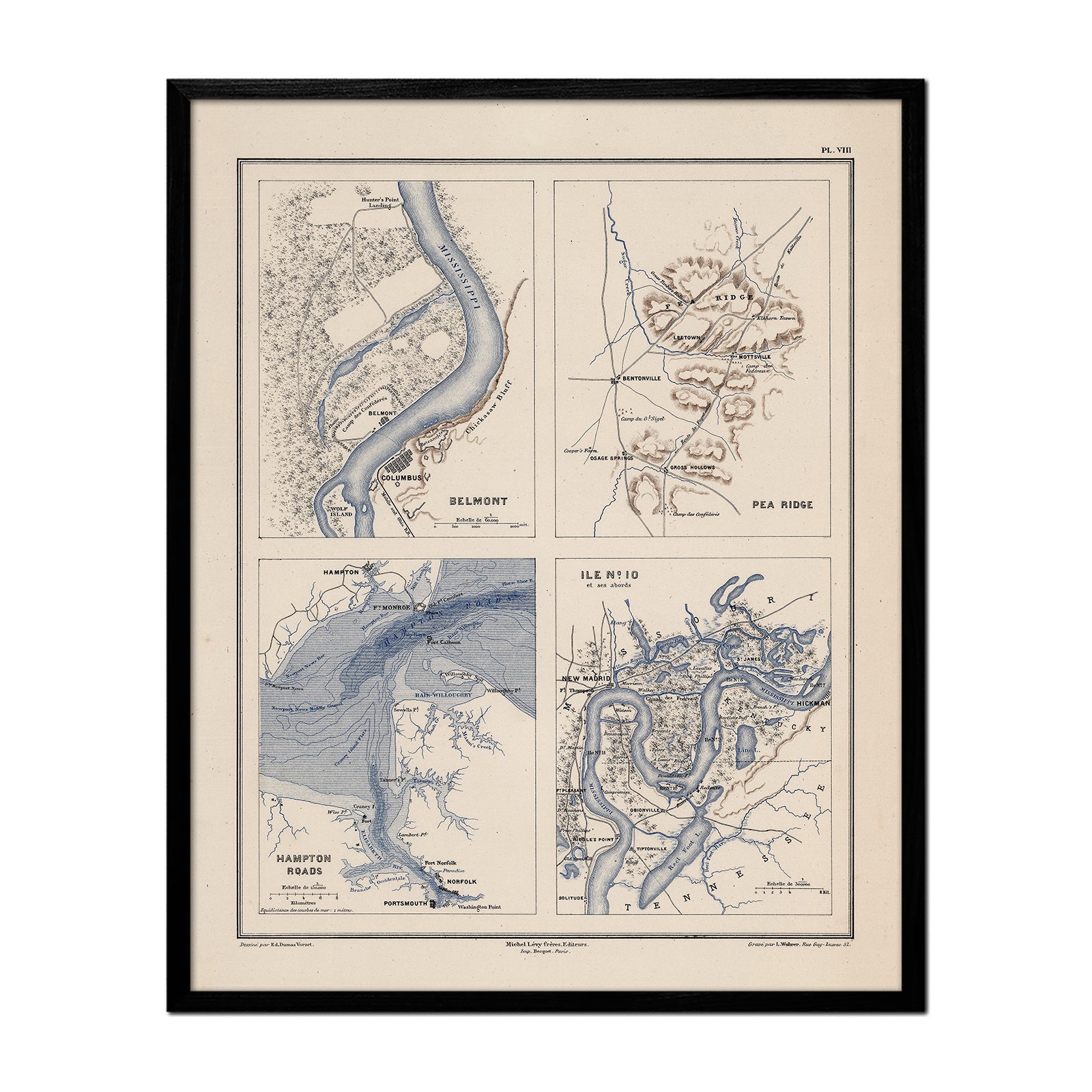
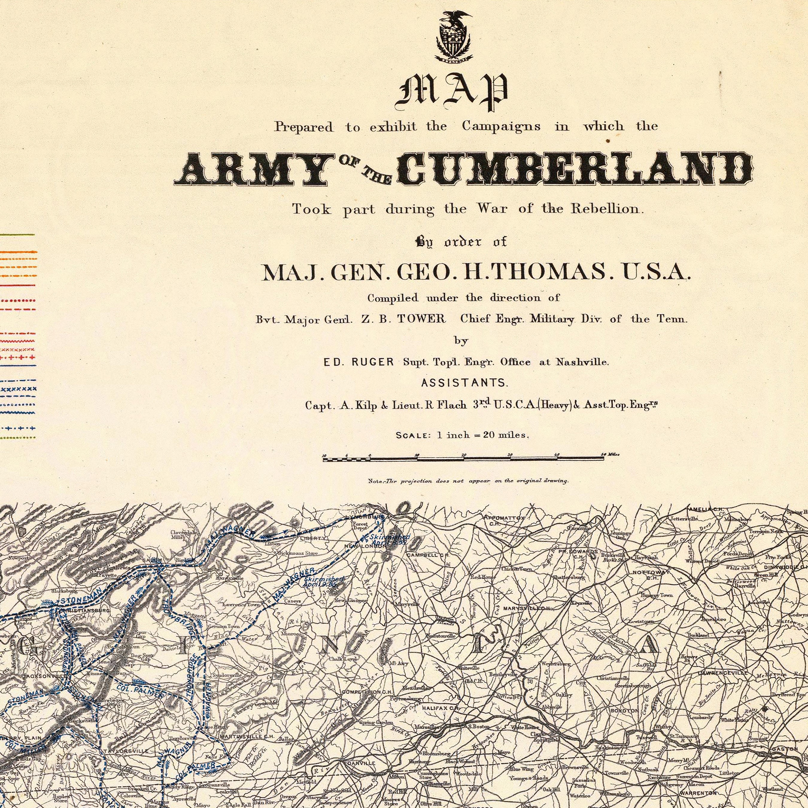
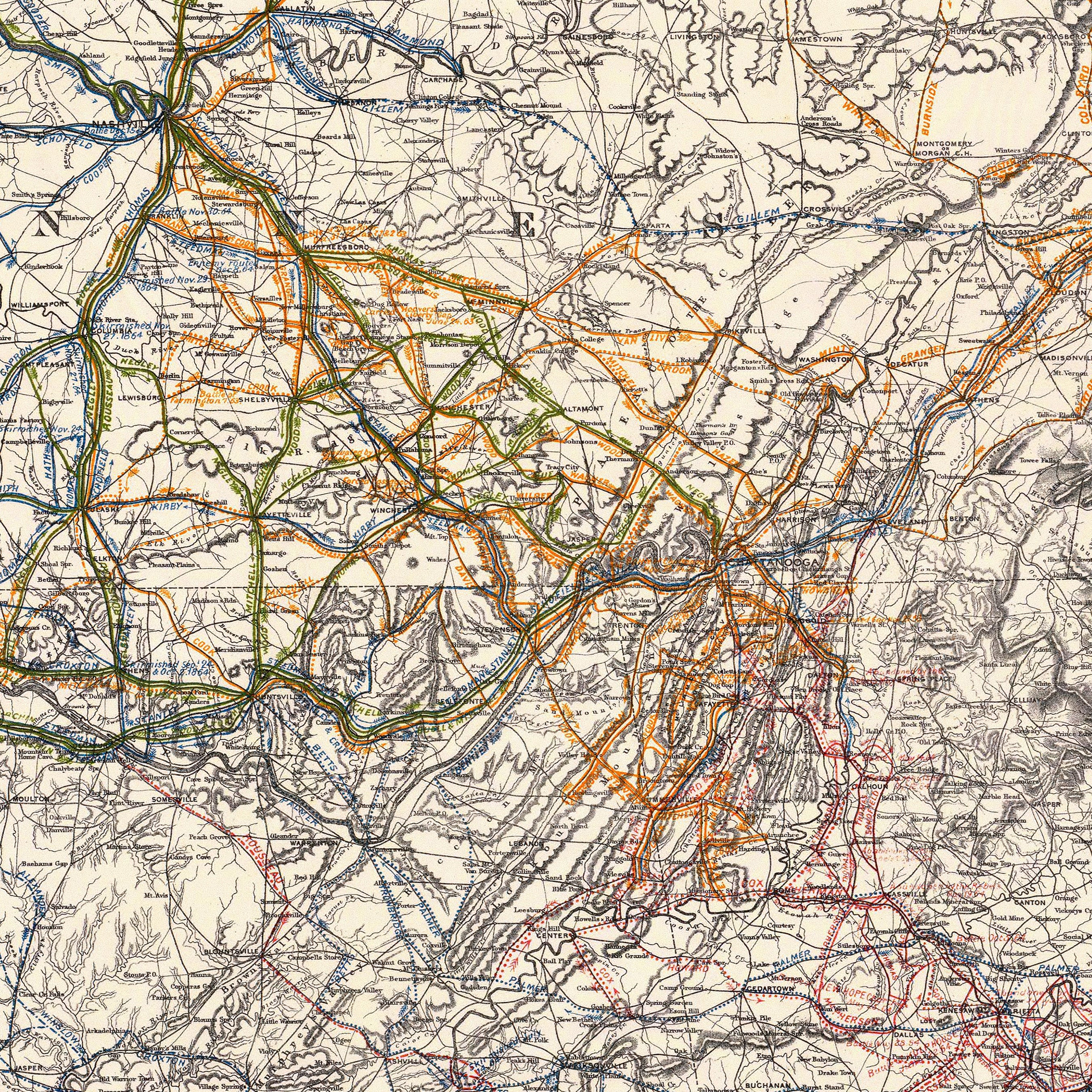
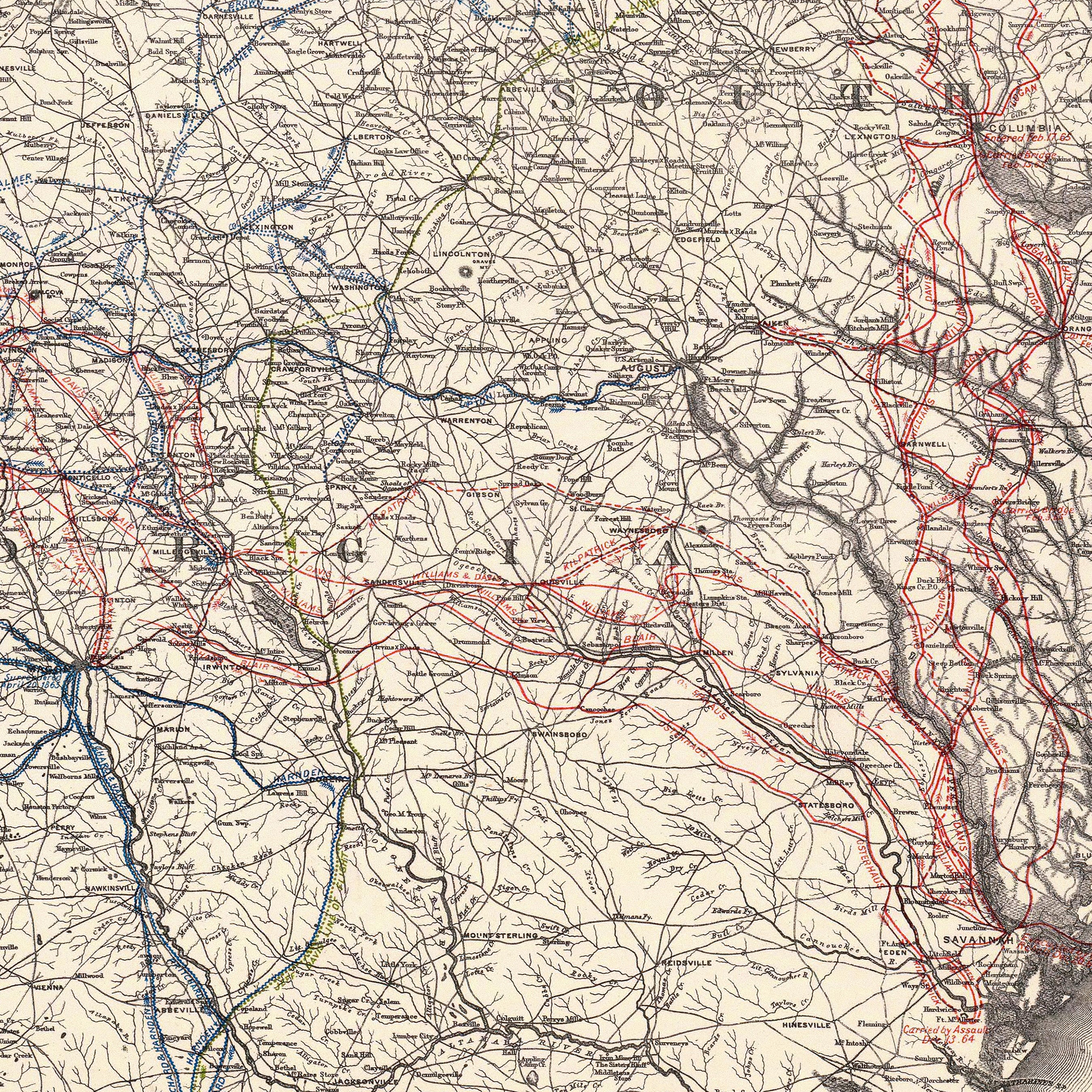
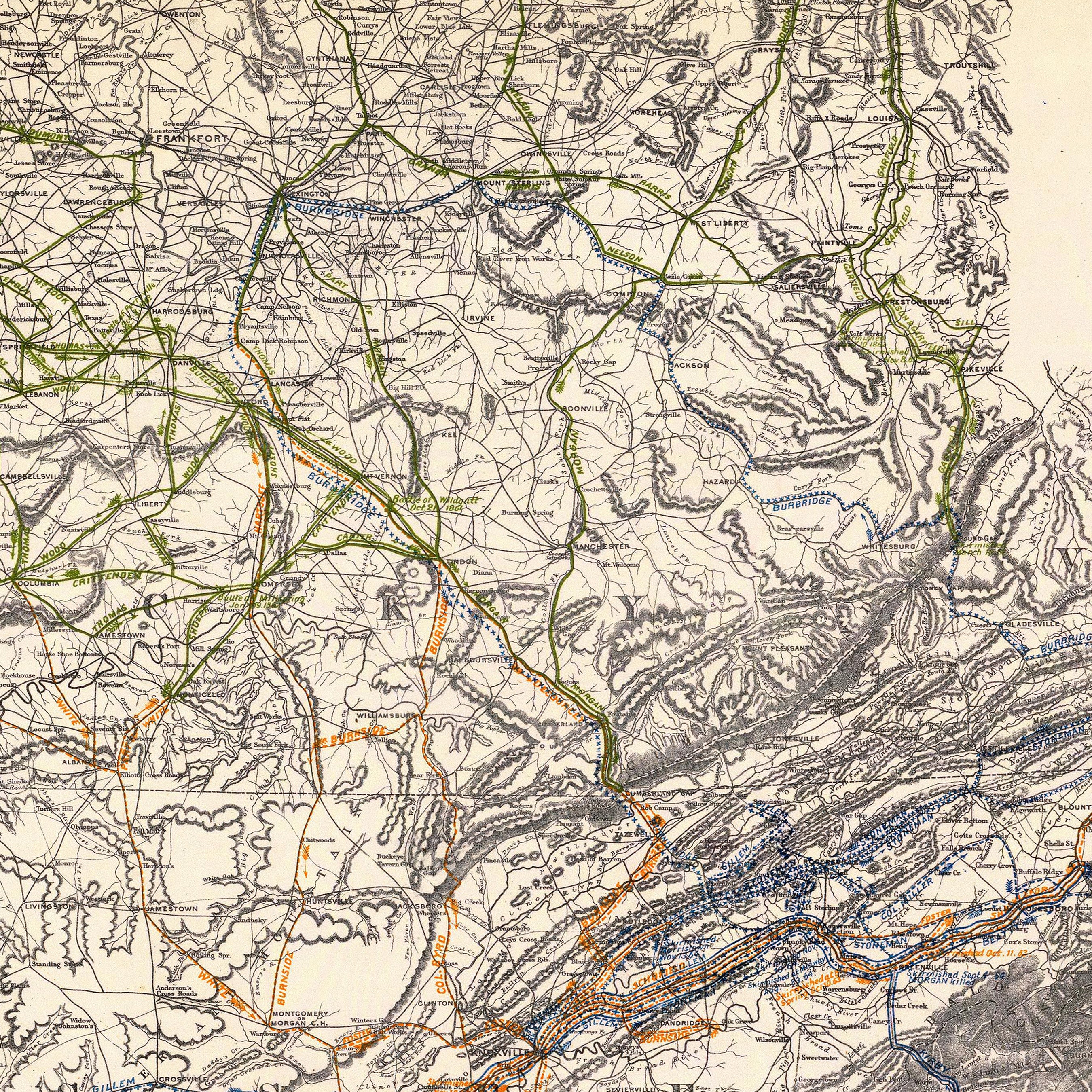
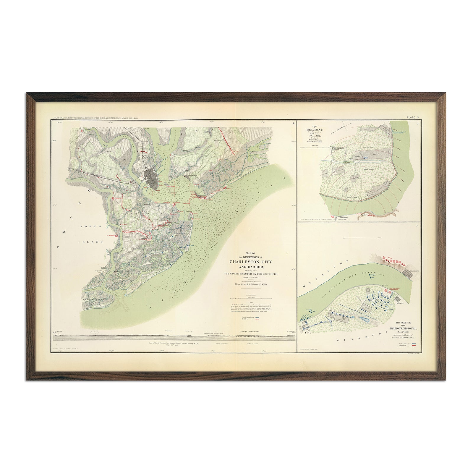
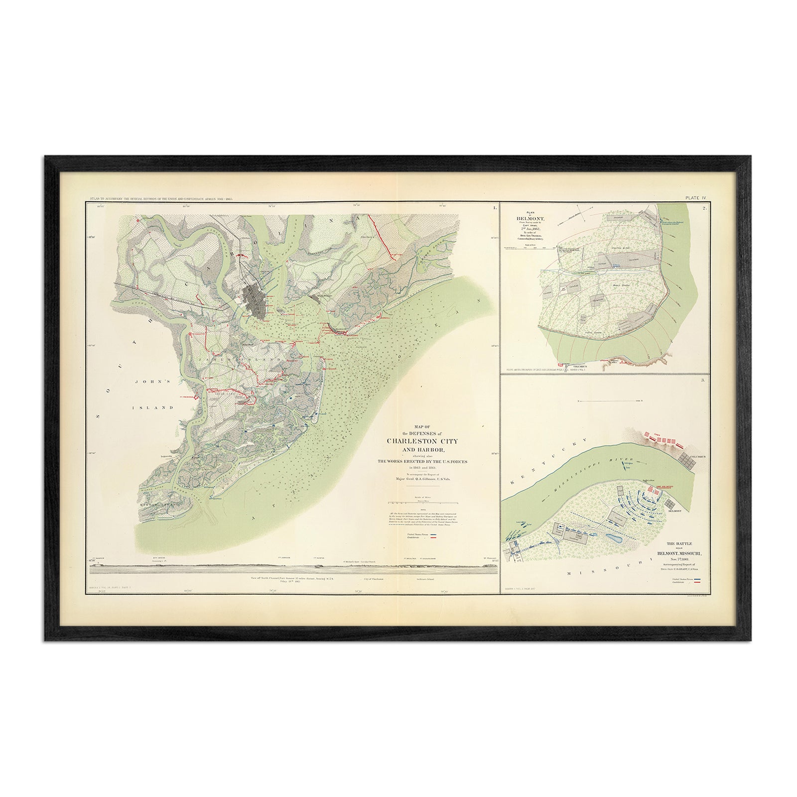
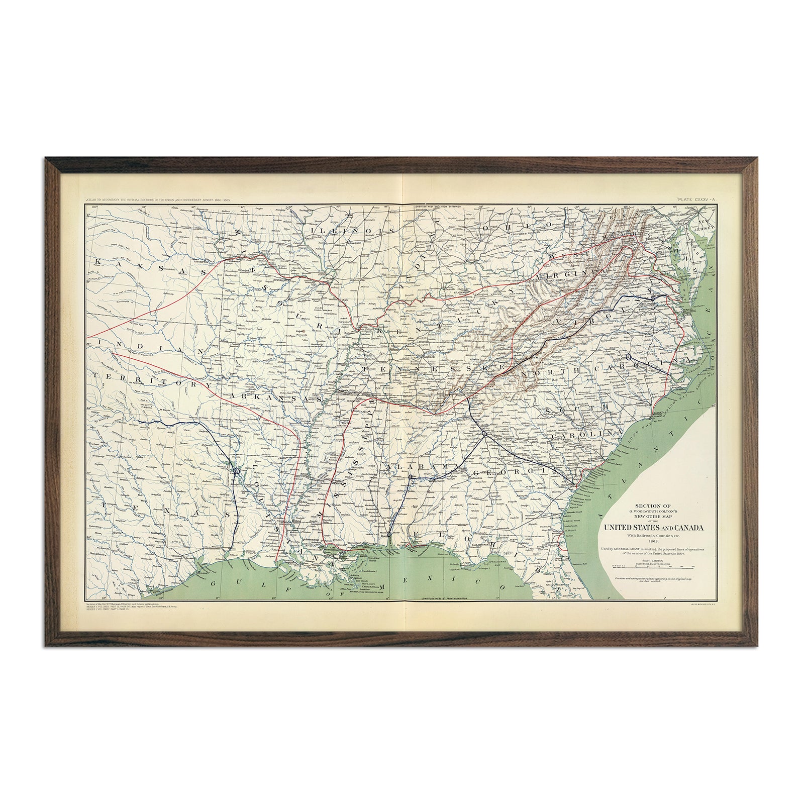
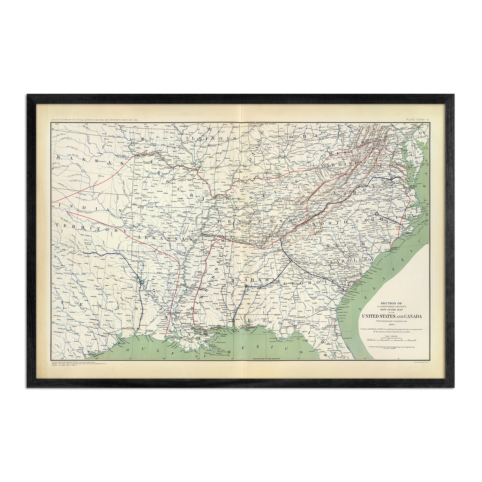
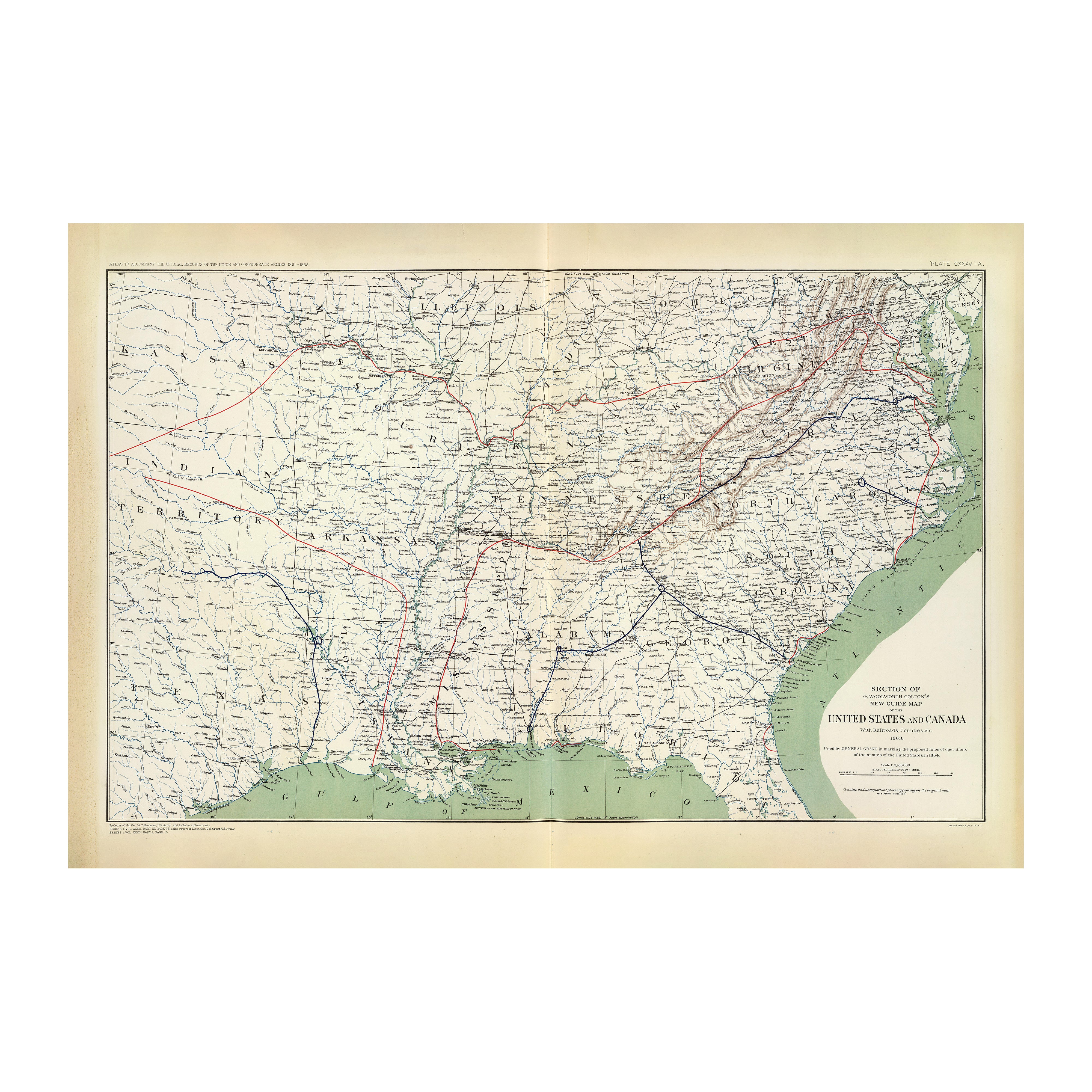
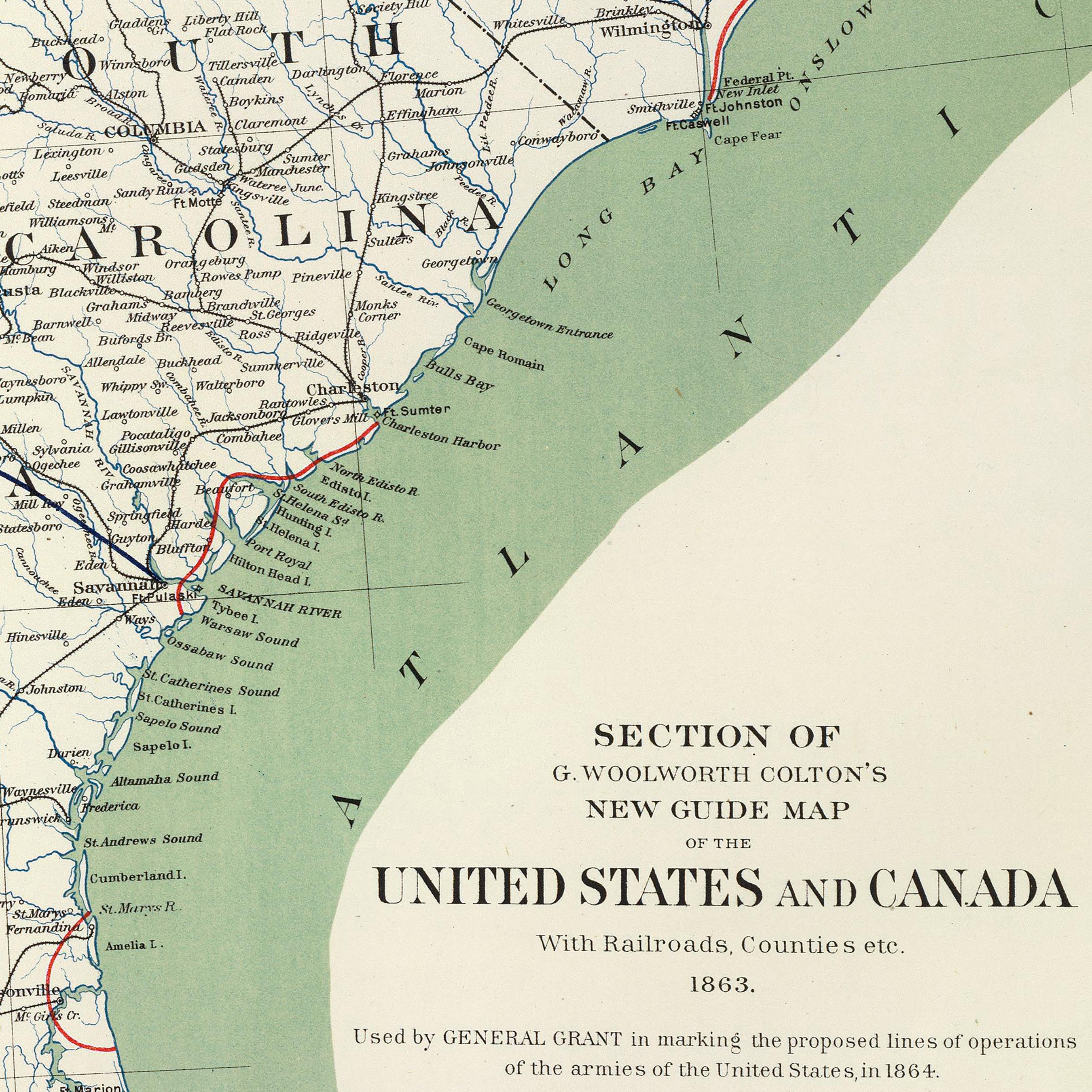
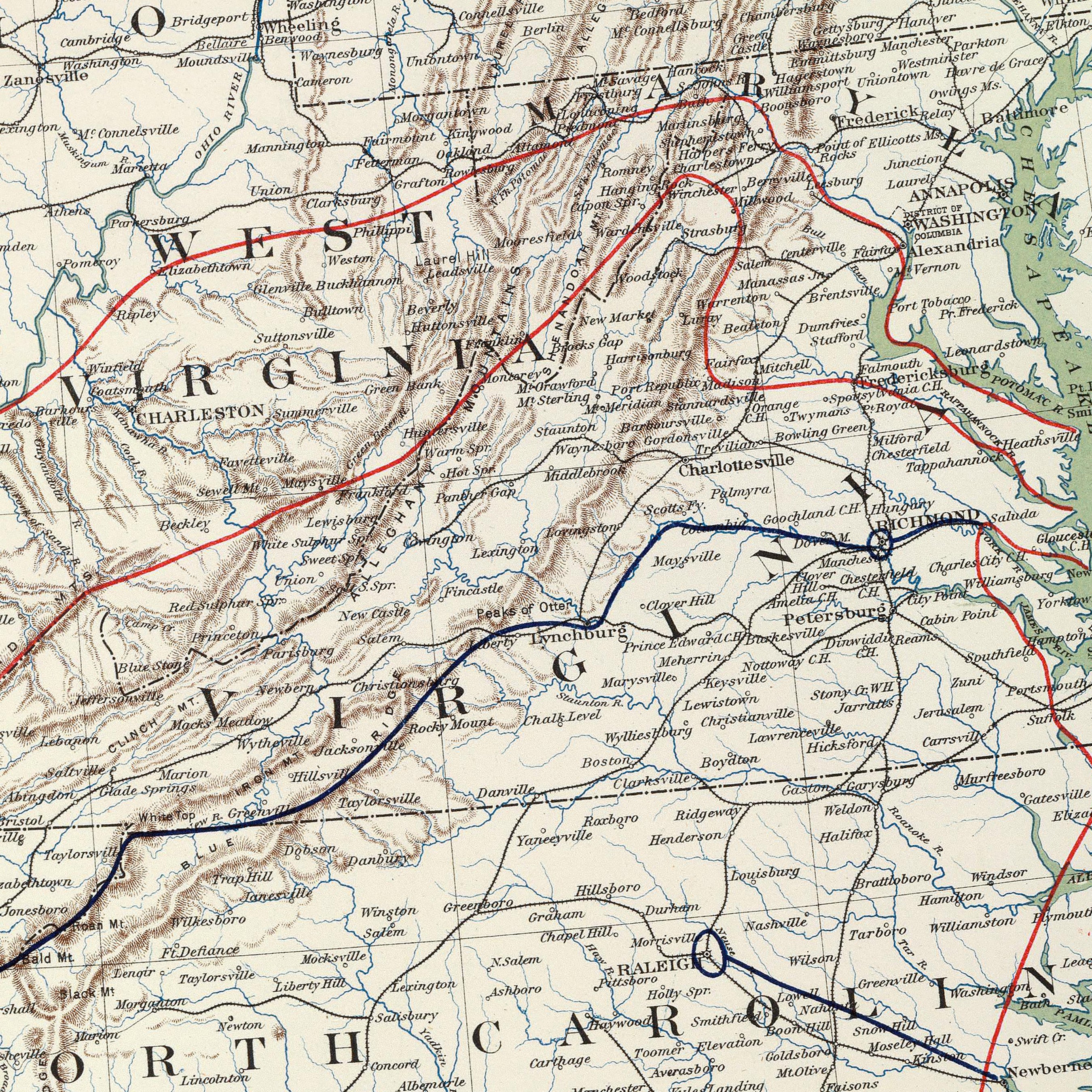
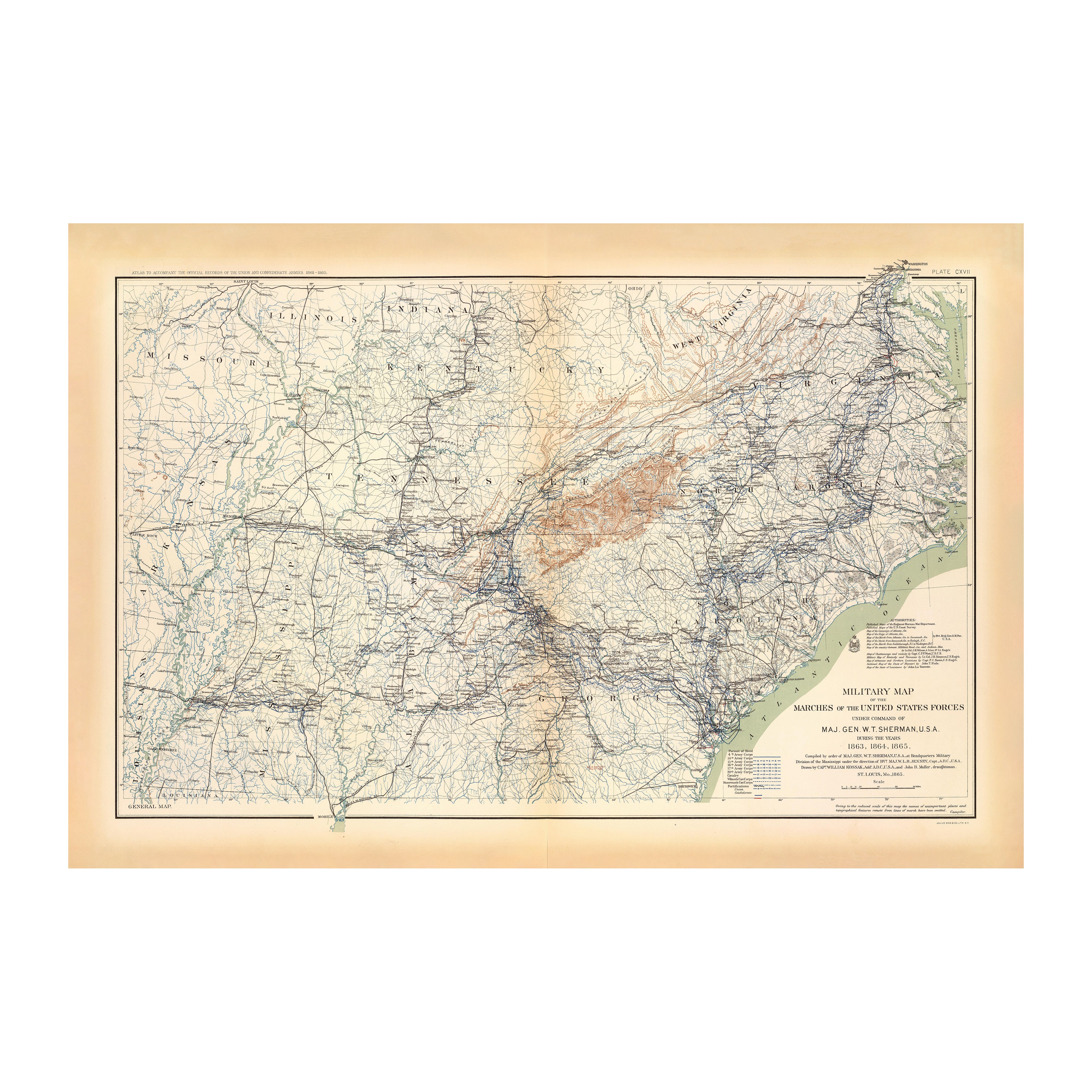
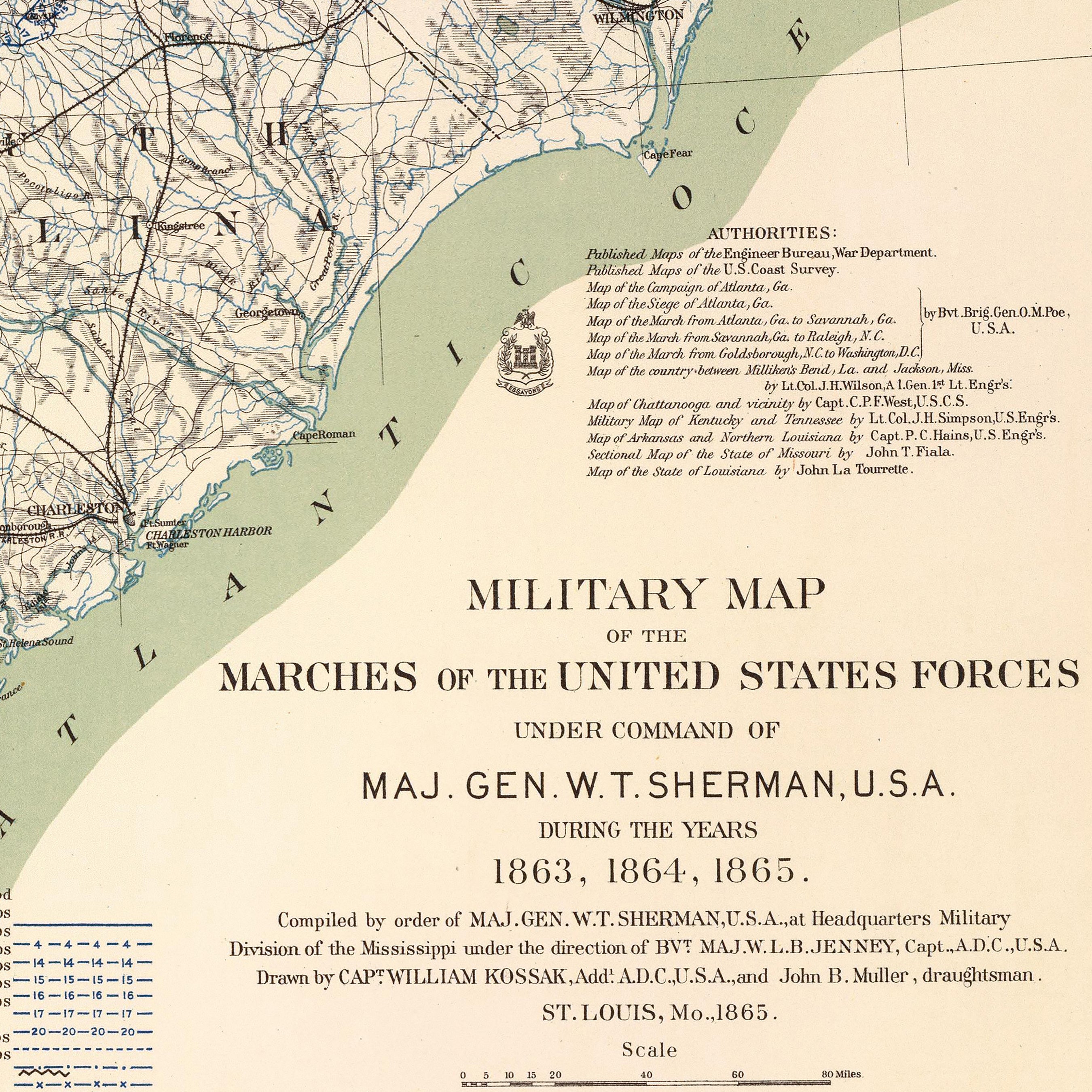
Enhanced vintage maps of Kentucky - If you like vintage maps, you’ll love our regional 1883 map of Kentucky & Tennessee. Unlike our hand-shaded relief maps, Muir Way historical maps don’t look three-dimensional. Instead, they depict a snapshot of history beautifully restored to retain its vintage charm without the wear & tear.
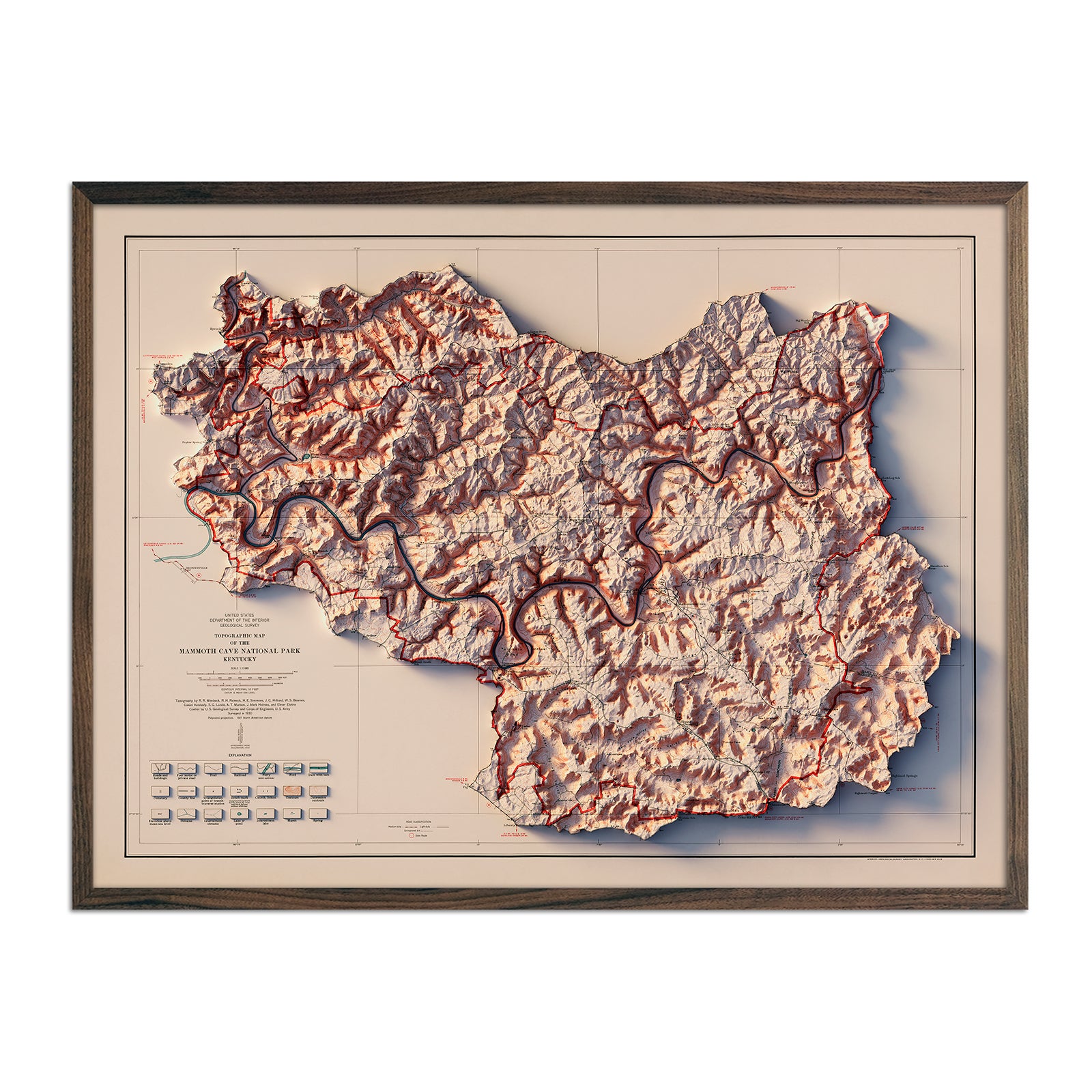
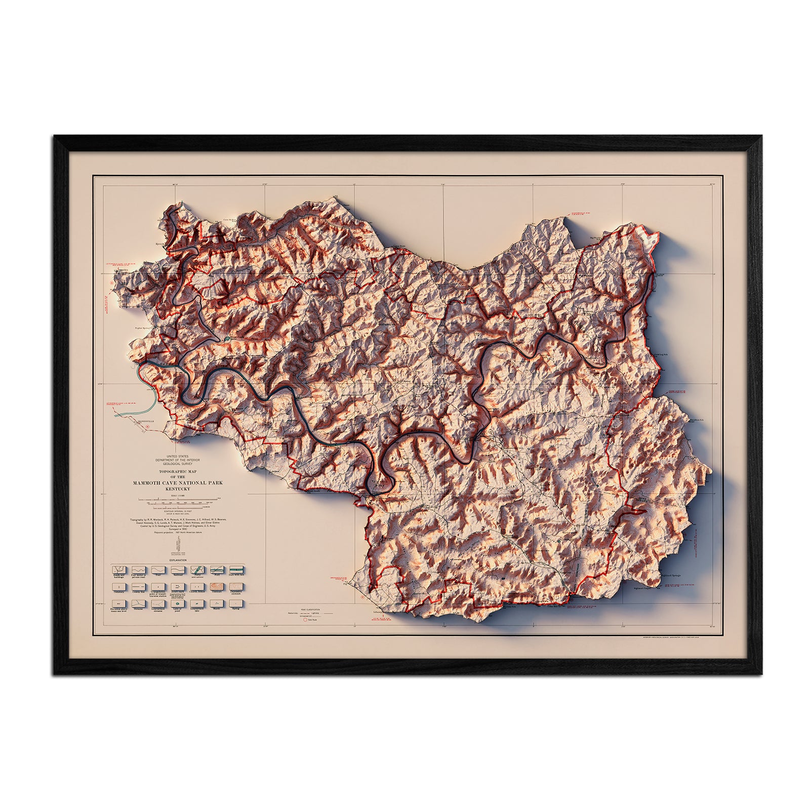
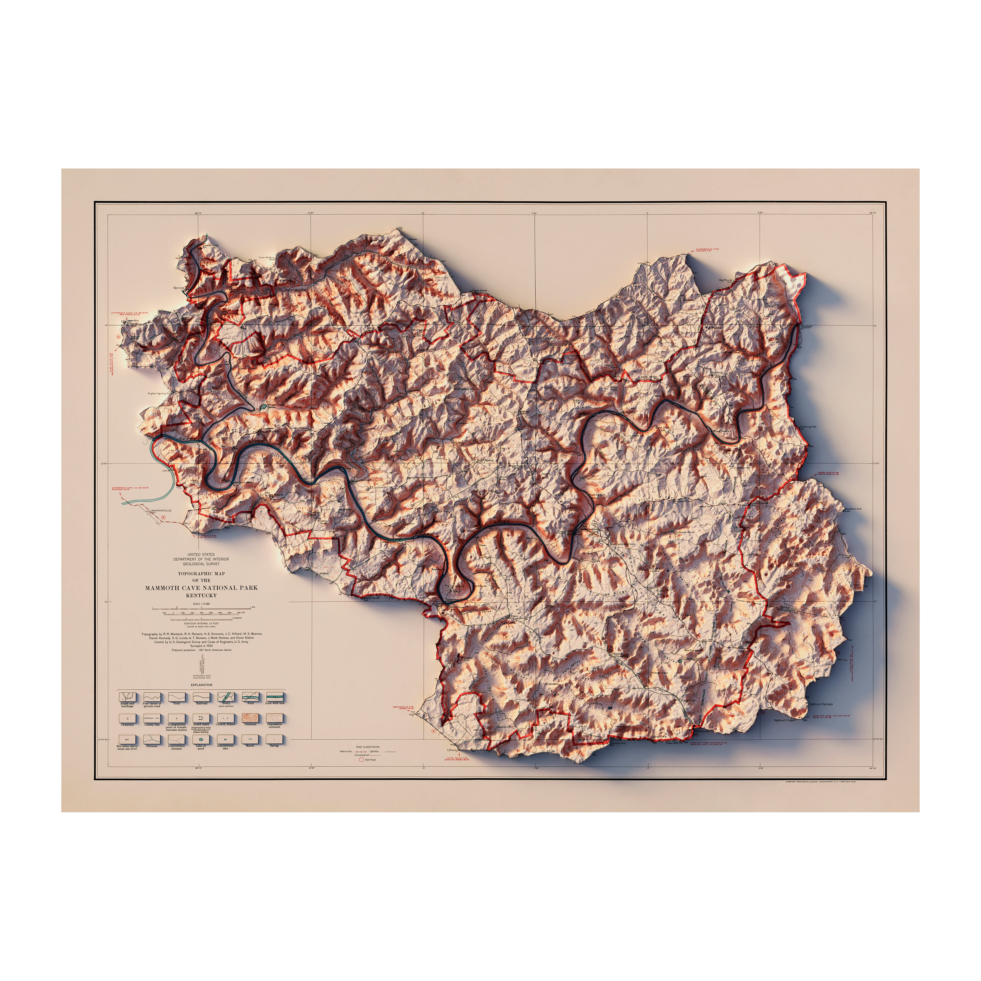
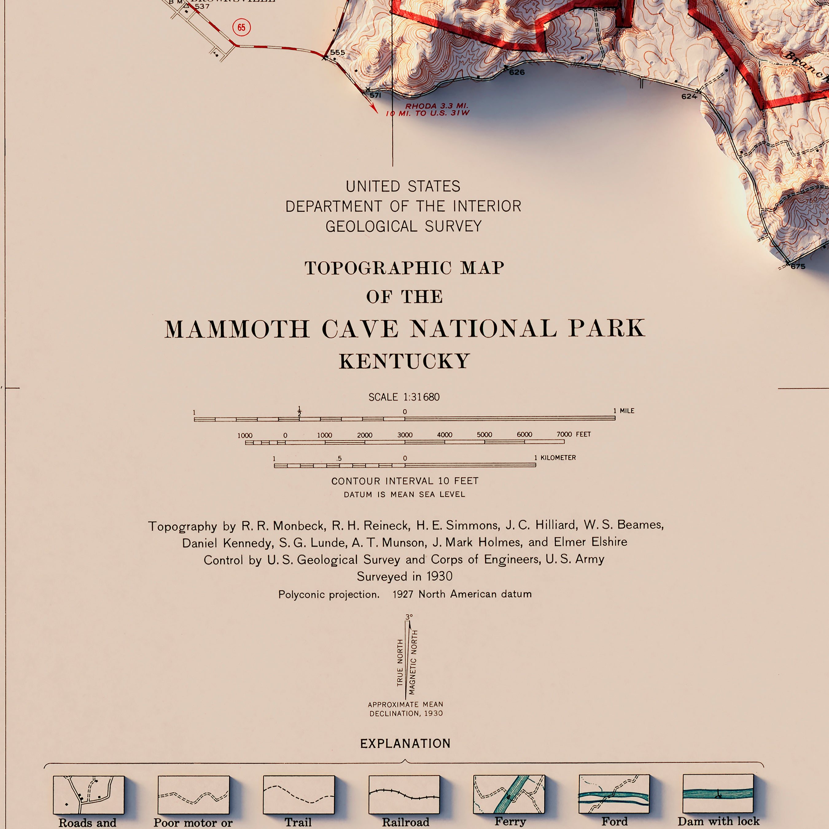
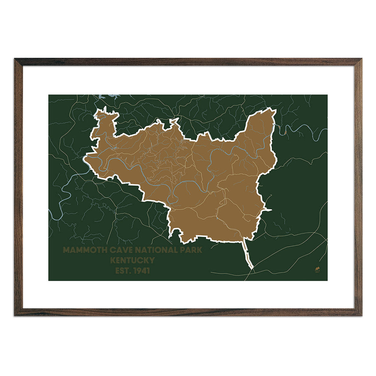
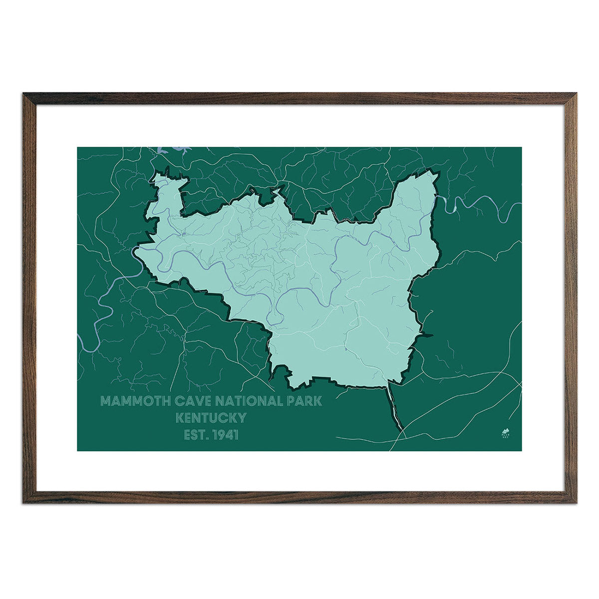
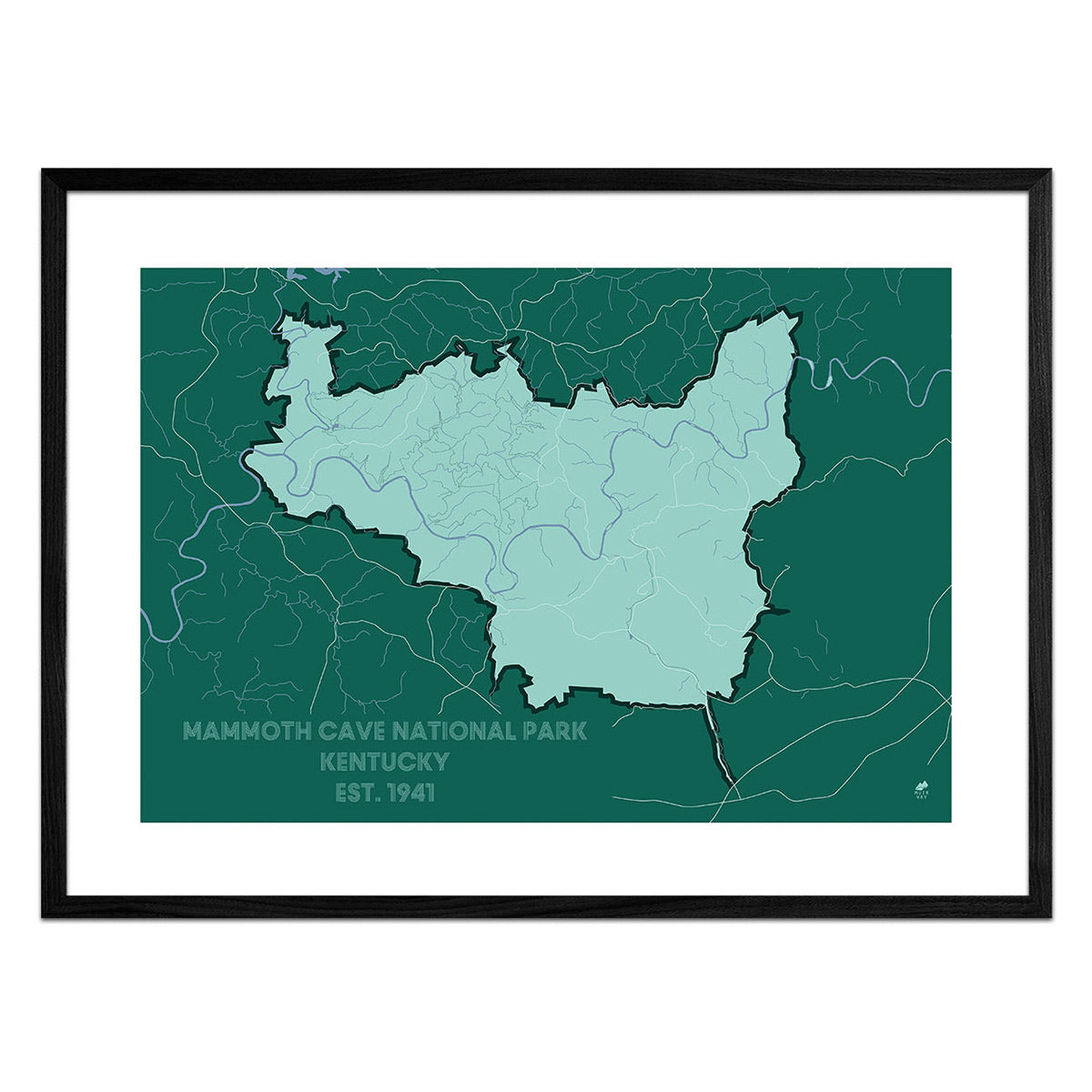
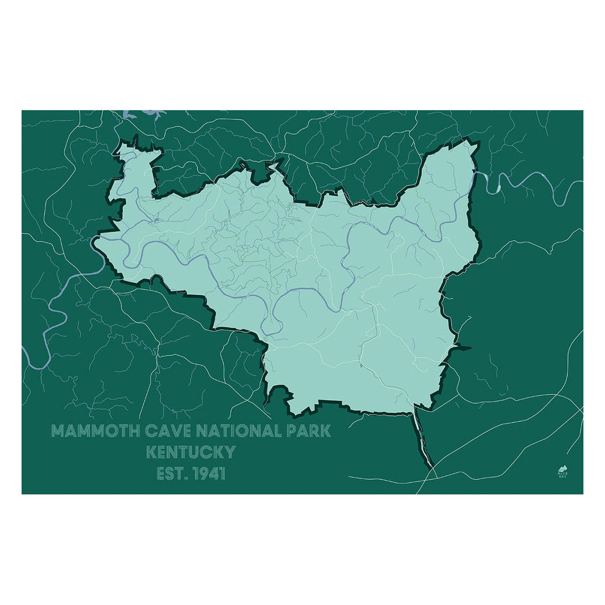
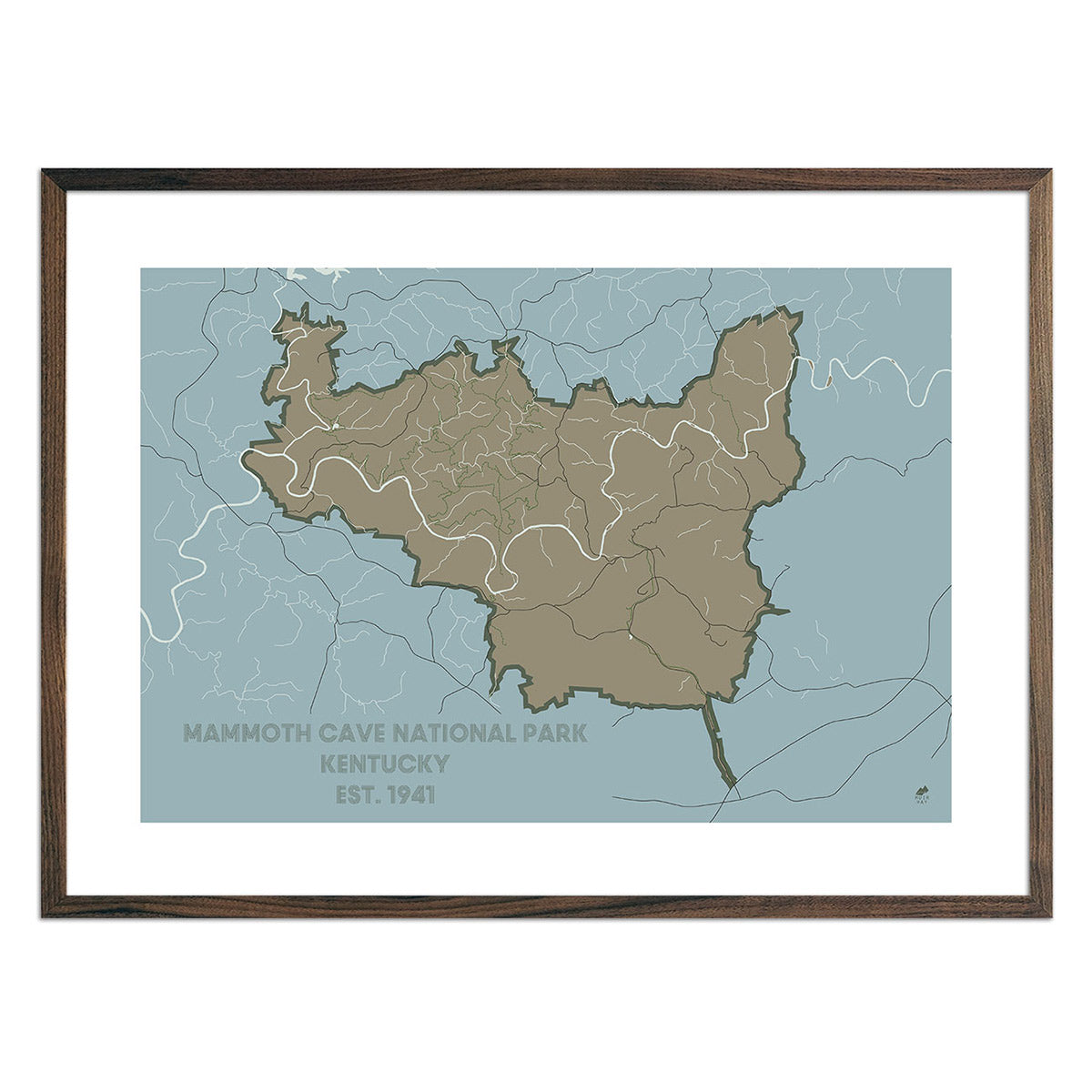
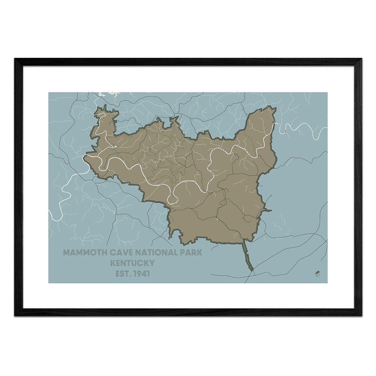
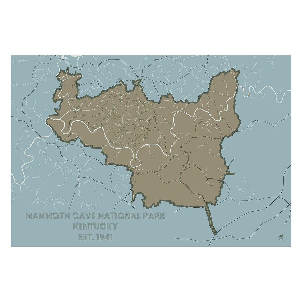
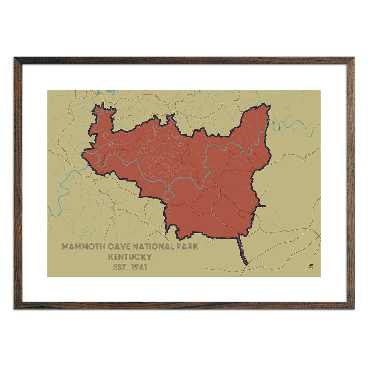
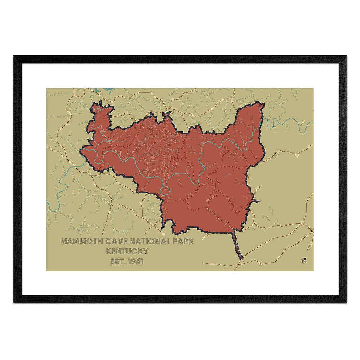
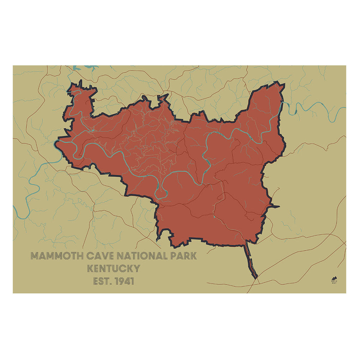
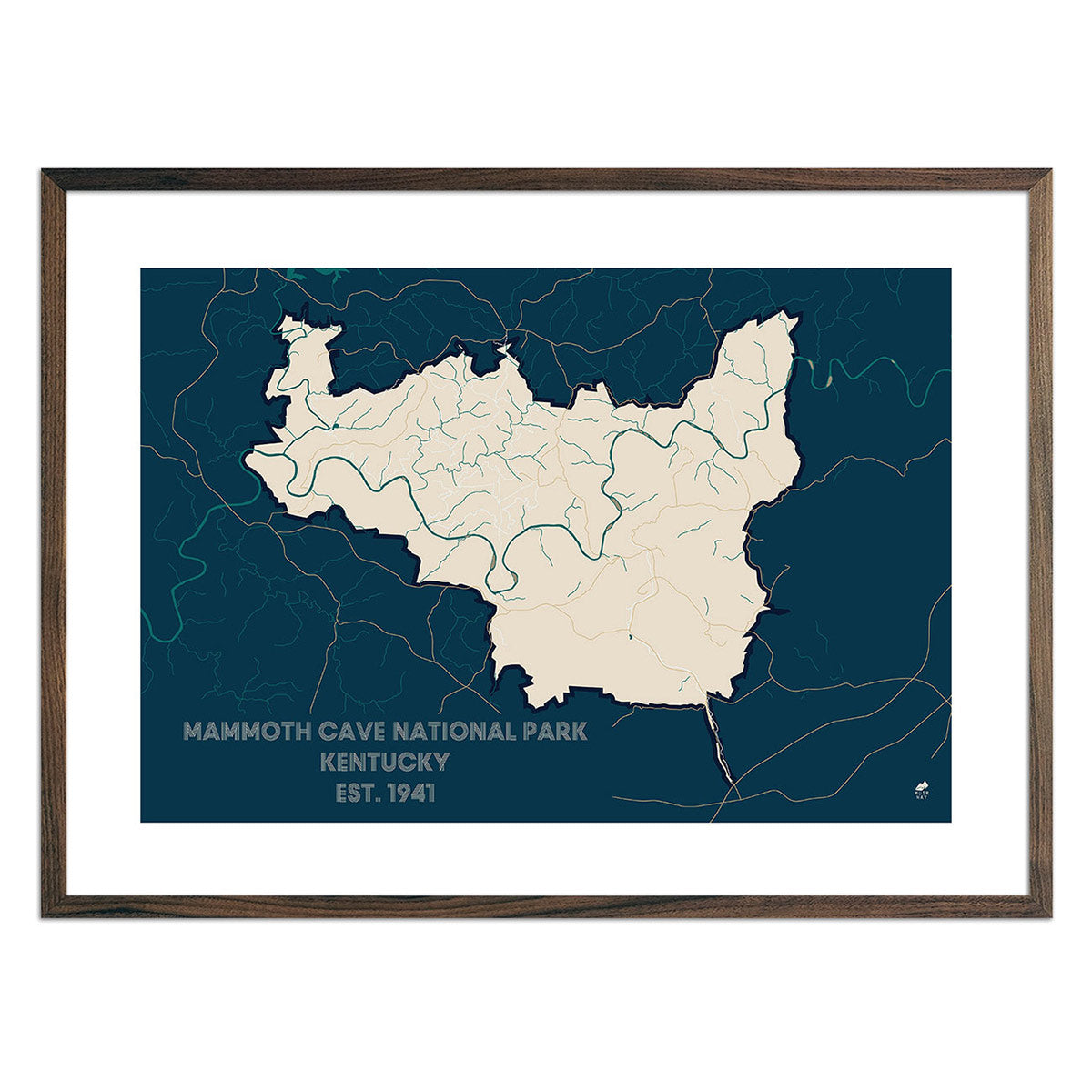
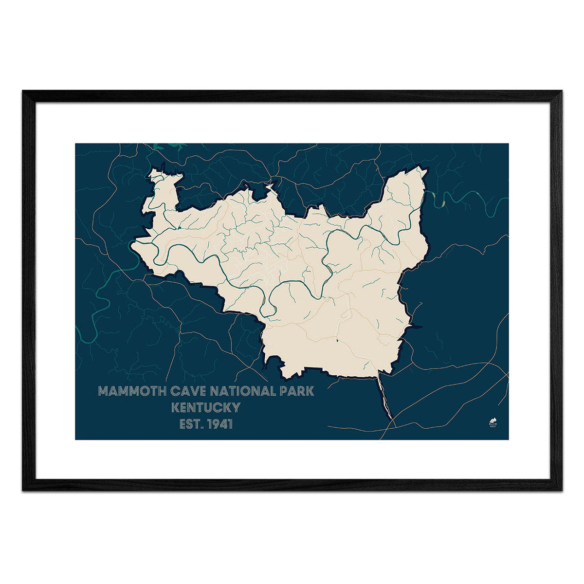
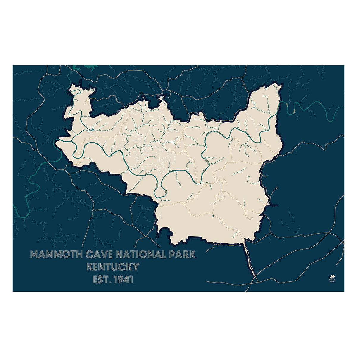
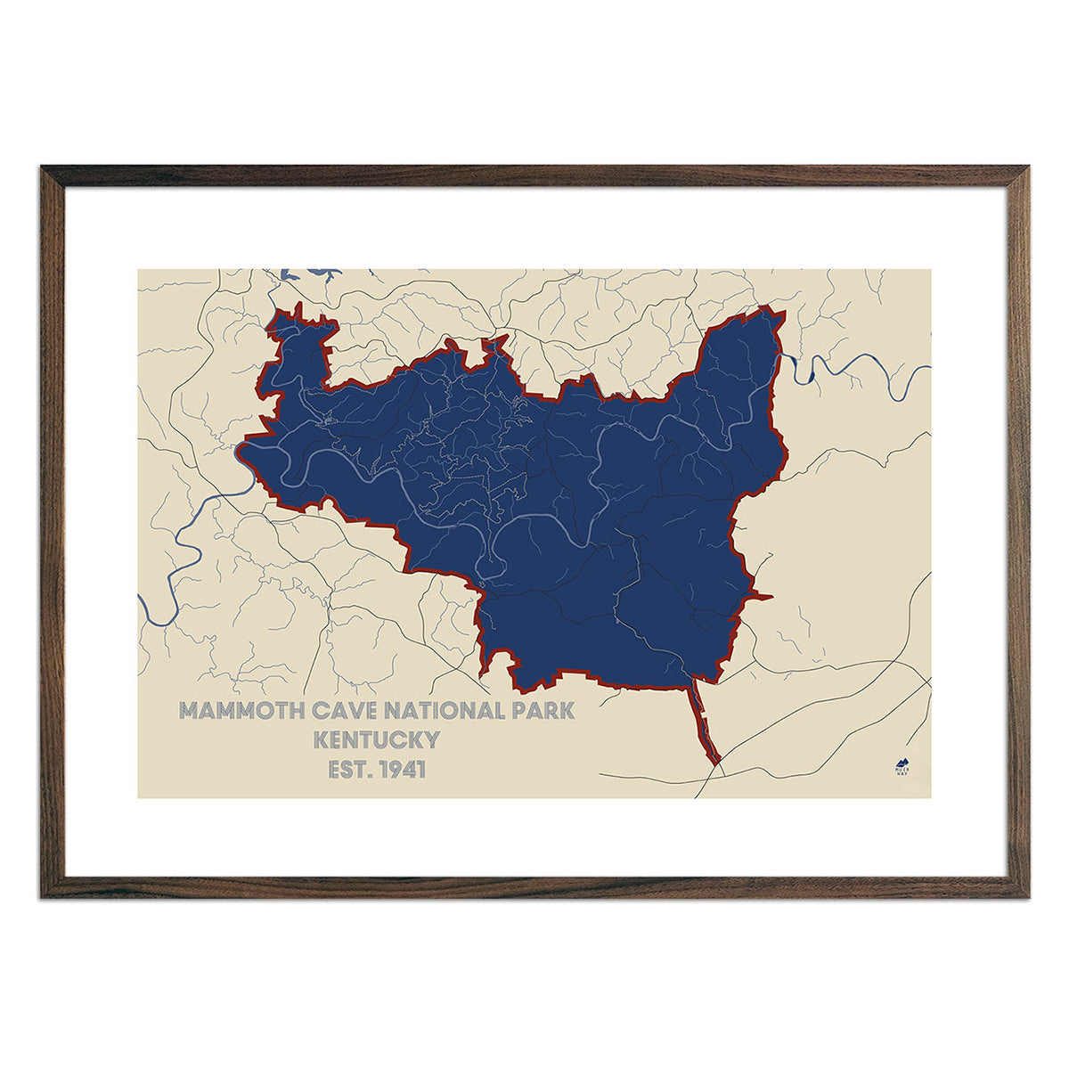
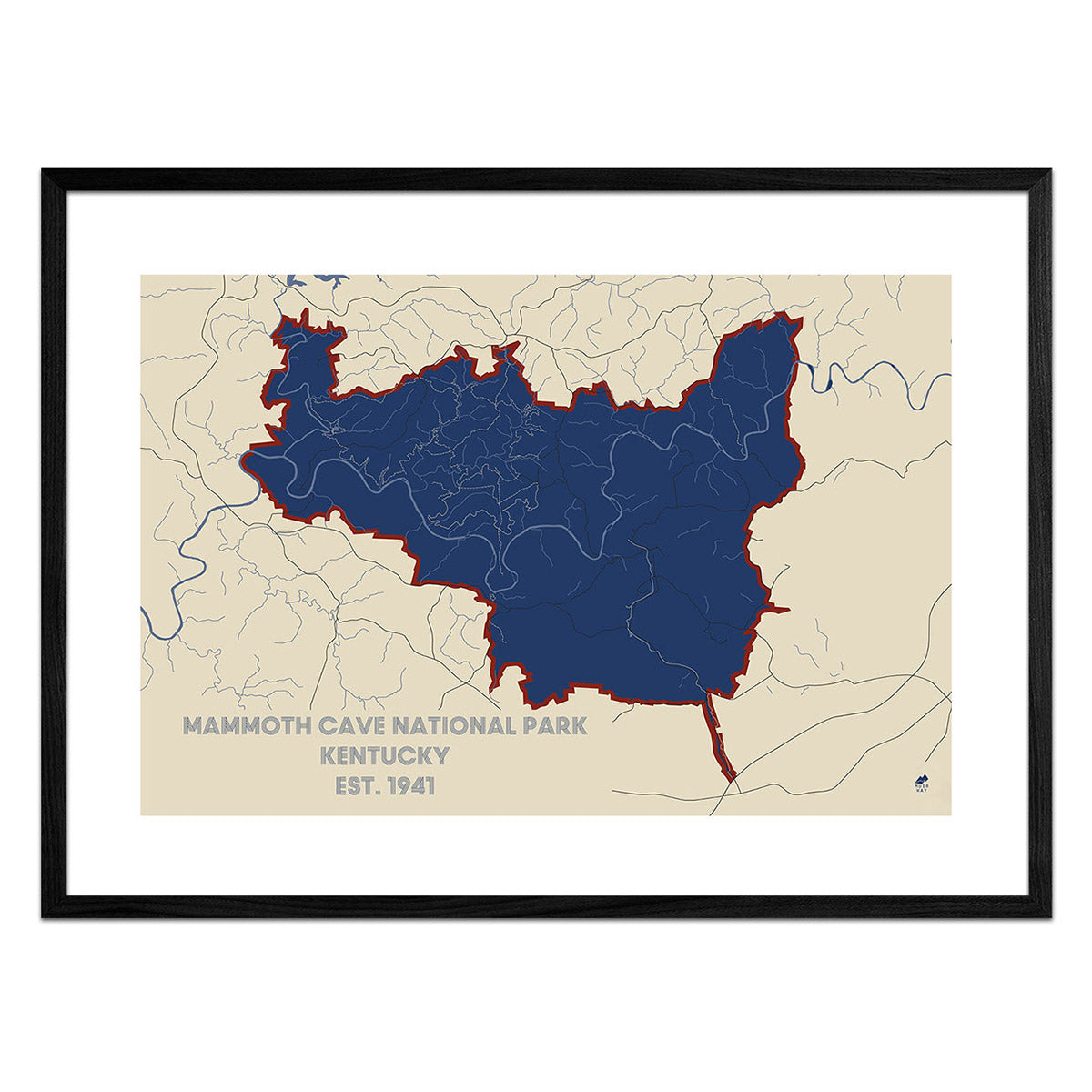
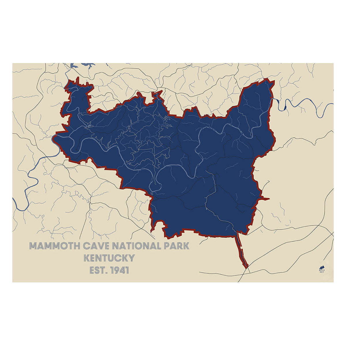
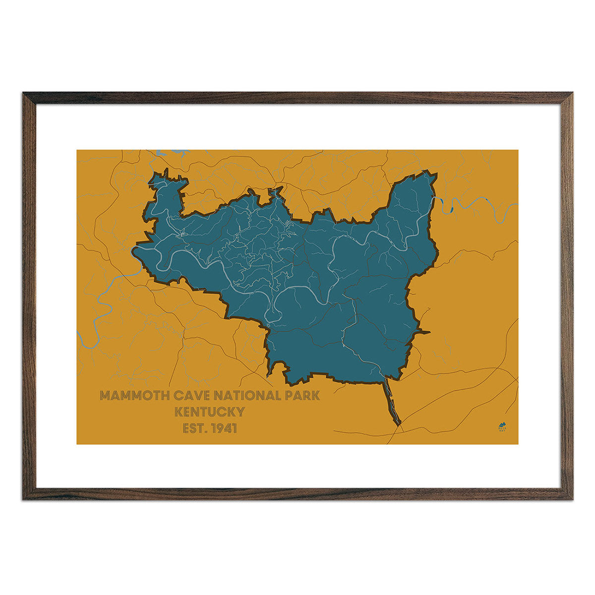
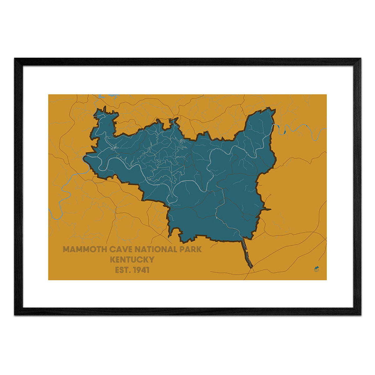
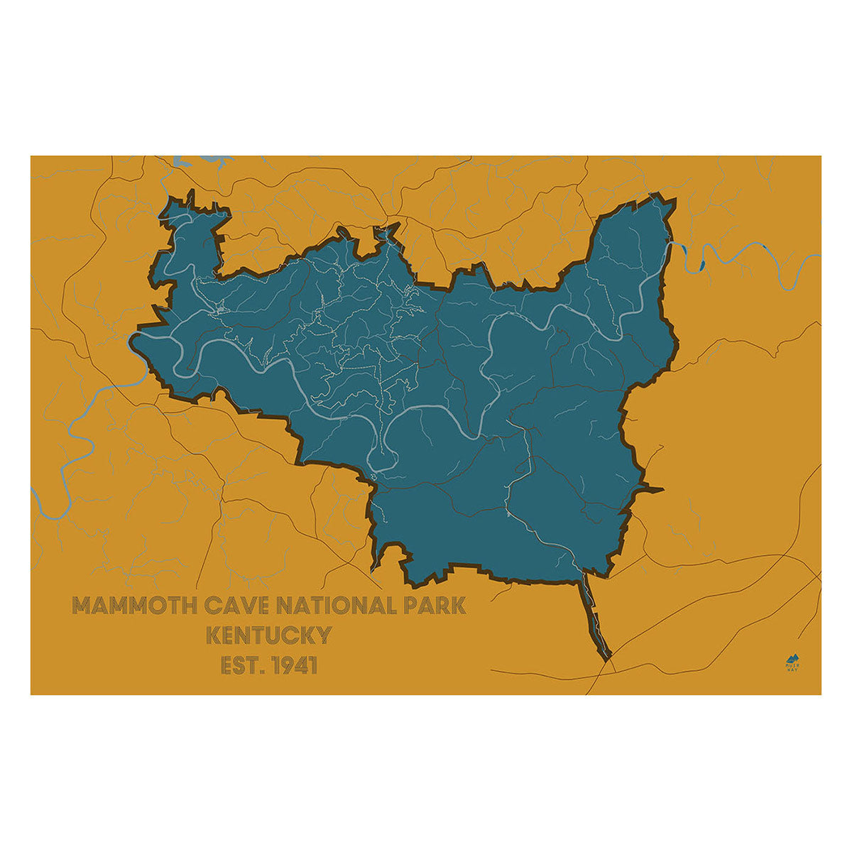
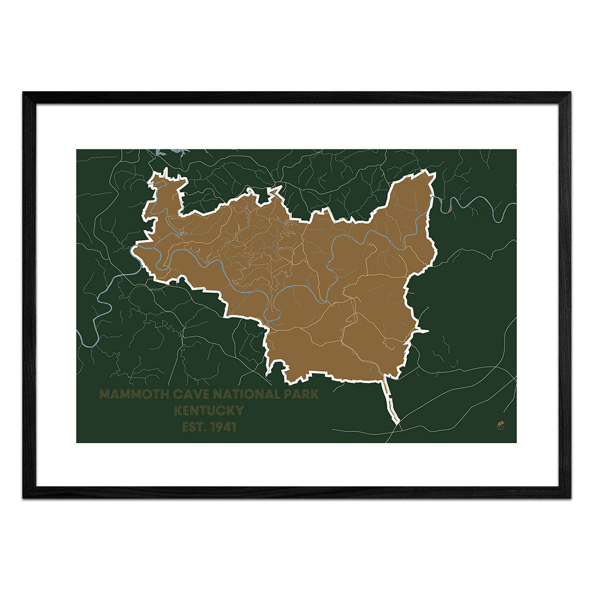
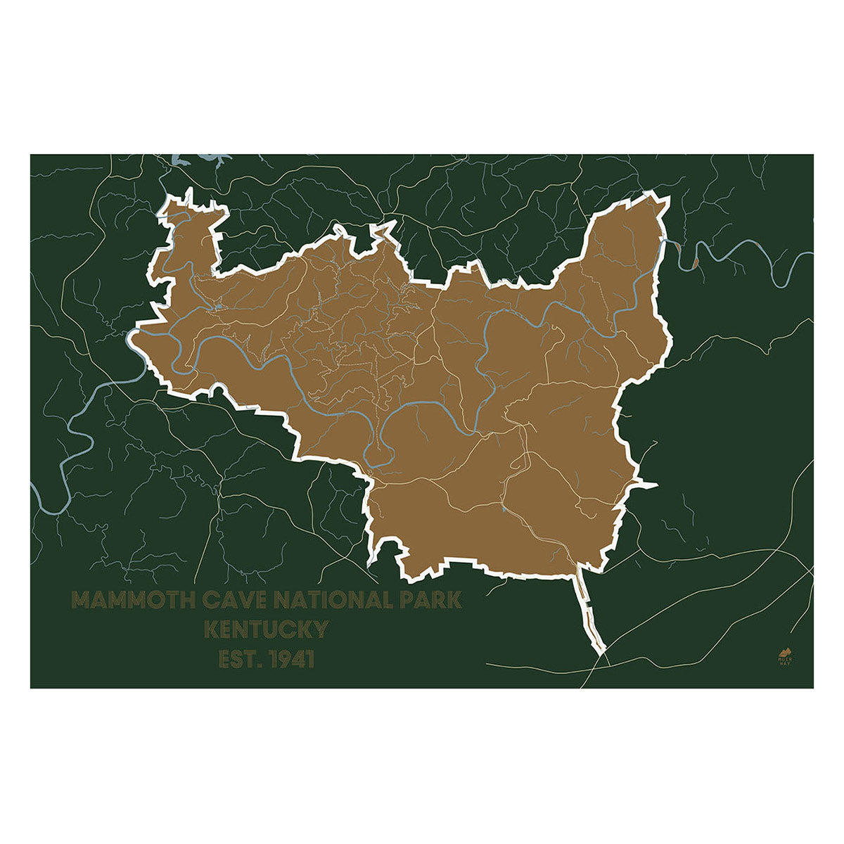
Kentucky National Park Maps - Do you like to explore the great outdoors? Our Mammoth Cave National Park map is reminiscent of a brochure-style national park map and shows major landforms, roads, and trails. Our national park maps come in several colors to match your décor.
What are some prominent features on the map of Kentucky?
Also known as the Horse Capital of the World, Kentucky has made its mark on American culture as the host of the annual Kentucky Derby. But there’s more to Kentucky than horse racing!
As the United States’ 37th largest state, Kentucky is a landlocked southern state and is bordered by Illinois, Indiana, Ohio, Tennessee, West Virginia, Virginia, and Missouri.
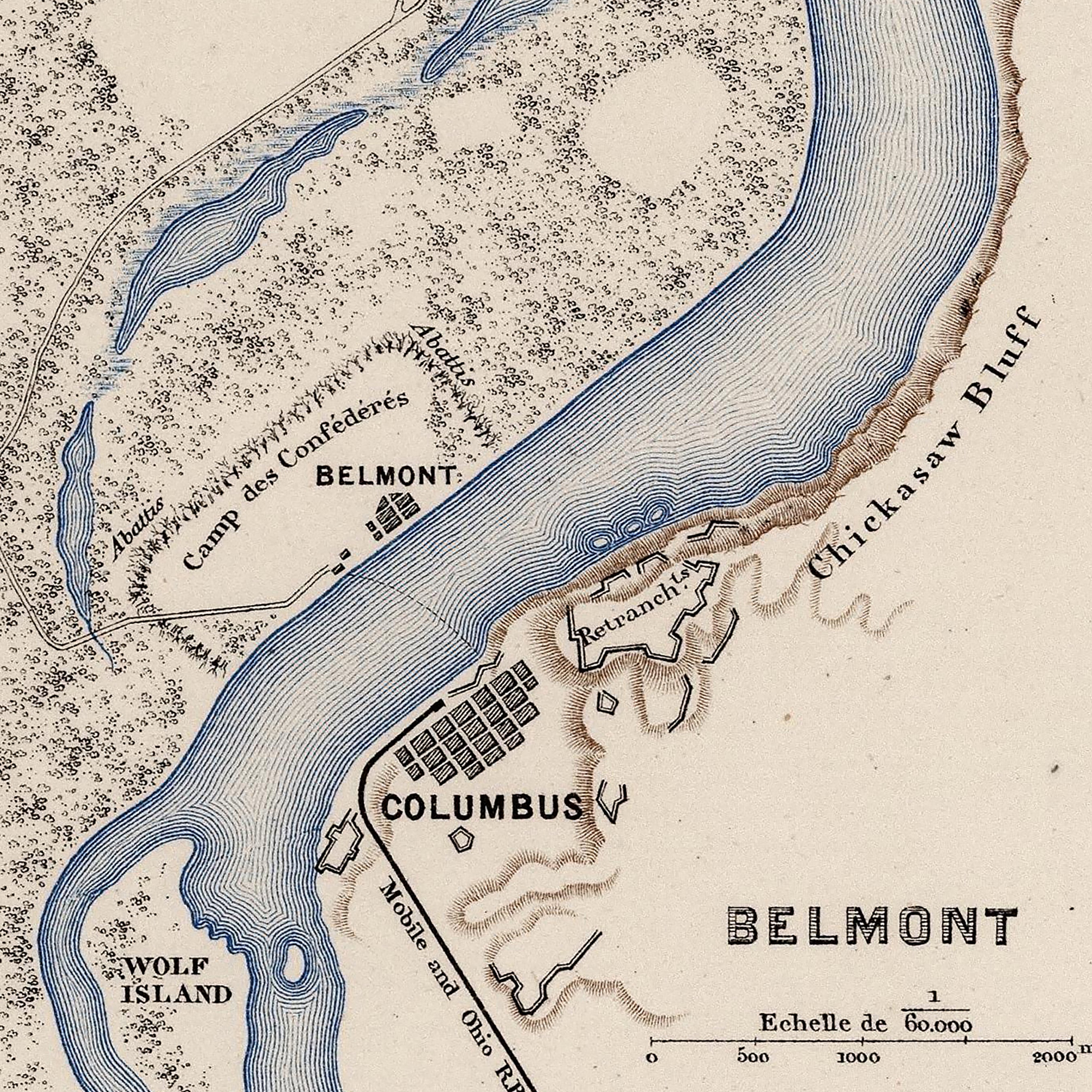
With approximately 680 square miles of water area, Kentucky is home to the Mississippi River. See Kentucky’s intricate network of waterways on our Kentucky hydrological map, including the Ohio River, the Green River, and Cumberland River, among others.
Kentucky’s diverse terrain covers everything from farmland to mountains, with its highest peak, Black Mountain, at 4,139 feet above sea level.
What are the regions in Kentucky?
Kentucky has five geographical regions:
- Bluegrass Region - Covering north-central Kentucky, the Bluegrass Region features rolling grasslands in its center and sandstone ‘knobs’ on the edges, known as the Knobs Region.
- Cumberland Plateau - This region covers eastern Kentucky and consists of valleys, plateaus, and mountains. The Cumberland Plateau is home to the Cumberland Mountains and the Pine Mountains and contains Kentucky’s highest peak, Black Mountain.
- Western Coal Field - Named for its large coal deposits, this region of Kentucky features farmland on the Ohio River border and is situated in the northwestern area of the state.
- Pennyroyal Region - Stretching along the southern border of Kentucky, this region also known as the Pennyrile Region is geologically diverse, with rolling plains and low hills in the south, a treeless area in the center known as The Barrens, and rocky ridges and underground caves and tunnels in the north.
- Jackson Purchase Region - This westernmost region of Kentucky is part of the Gulf Plains Region and contains low hills and floodplains. This region also marks where the Mississippi River crosses the Madrid Fault zone.
If you like our collection of Kentucky maps, you may also be interested in maps of other Southeast states. Click below to browse:


