


Vermont Maps


Vermont Map Prints, Hydrological & Shaded Relief Maps
Whether you are from Vermont, like to visit there, or the Green Mountain State just holds a special place in your heart, our custom printed Vermont wall maps will bring a piece of New England to life. Our maps are beautifully rendered from a combination of historical data, modern technology, and hand design. From our eye-catching elevation maps and geological relief maps to our meticulously restored historical maps, every map of Vermont we offer reflects the high quality and attention to detail our customers have come to love and expect from Muir Way.
What makes Muir Way maps of Vermont unique?
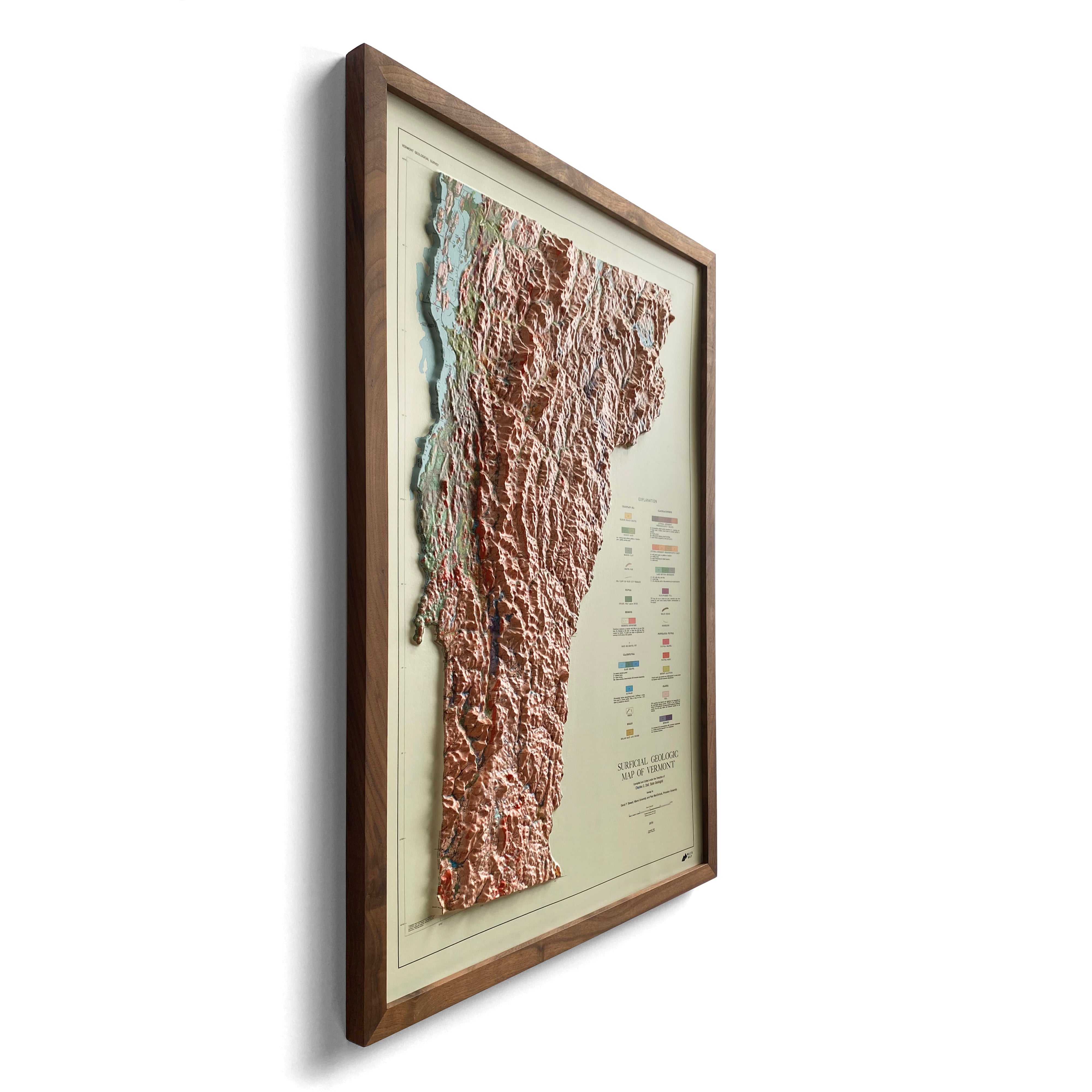
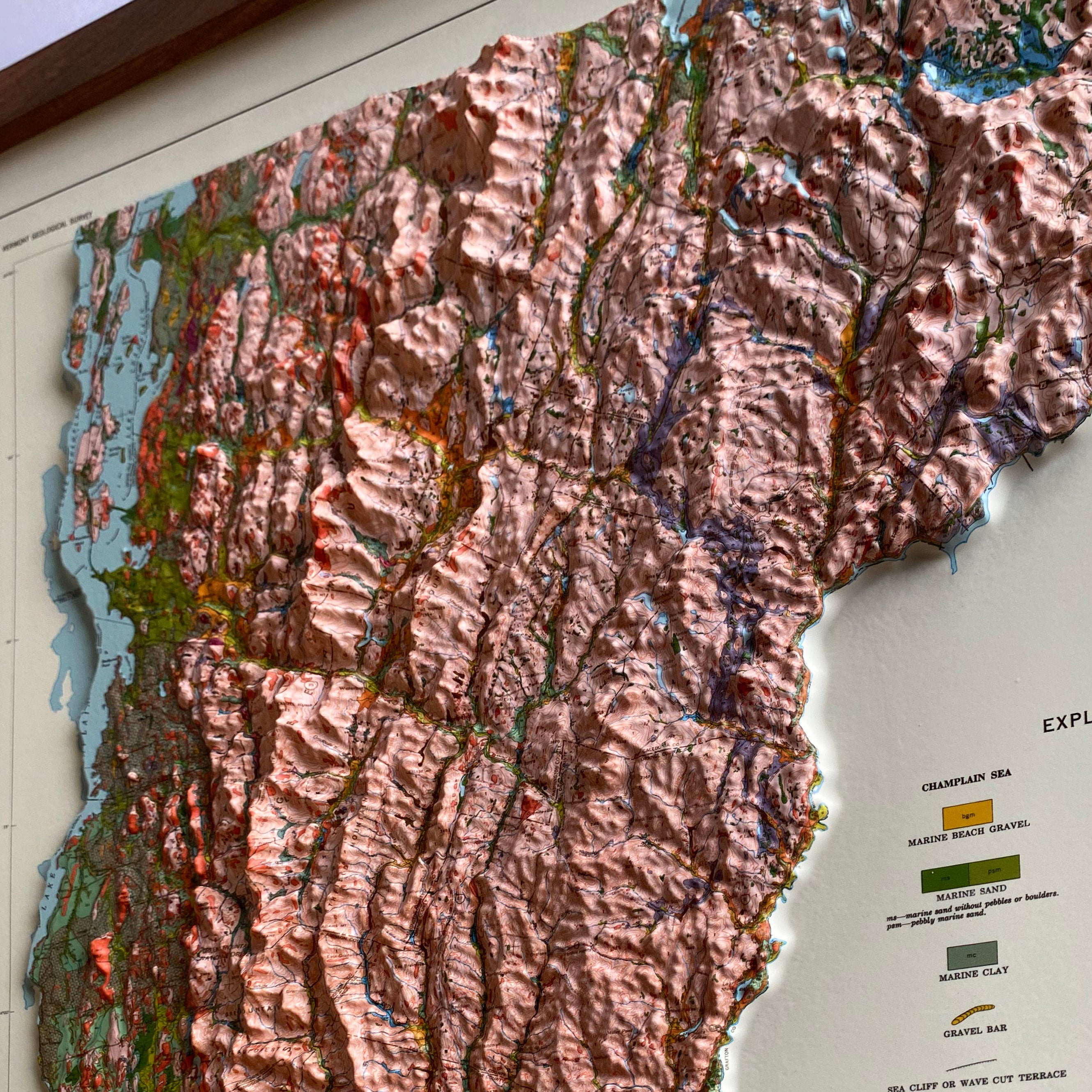
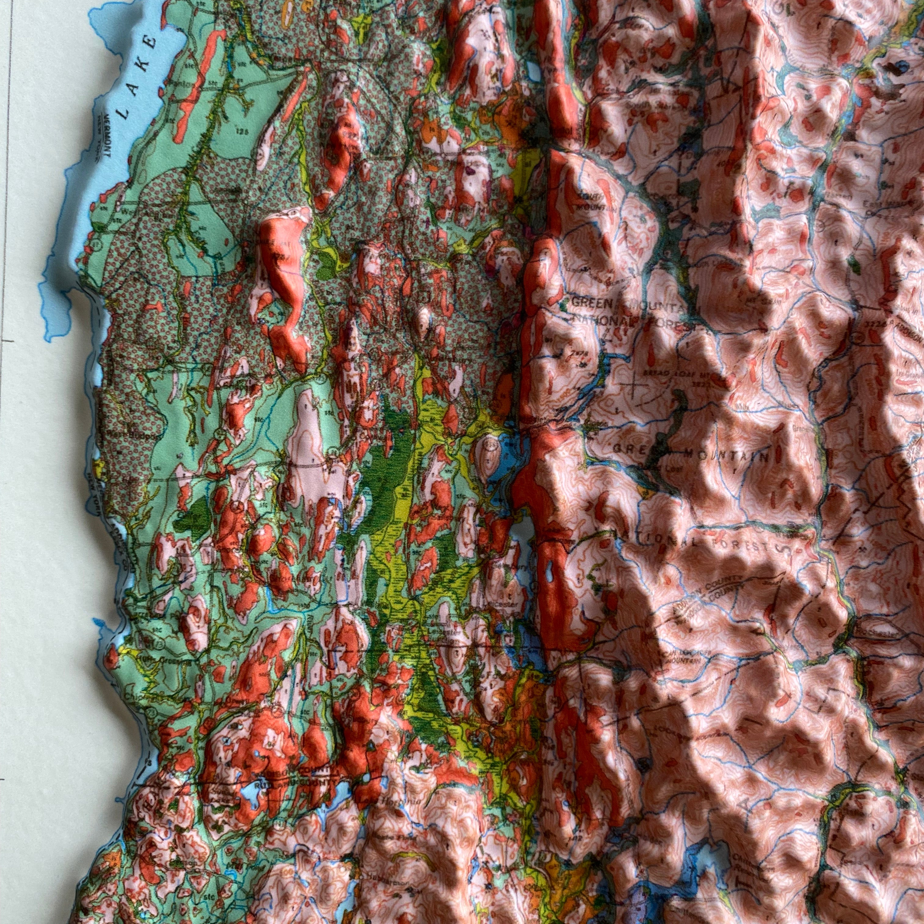
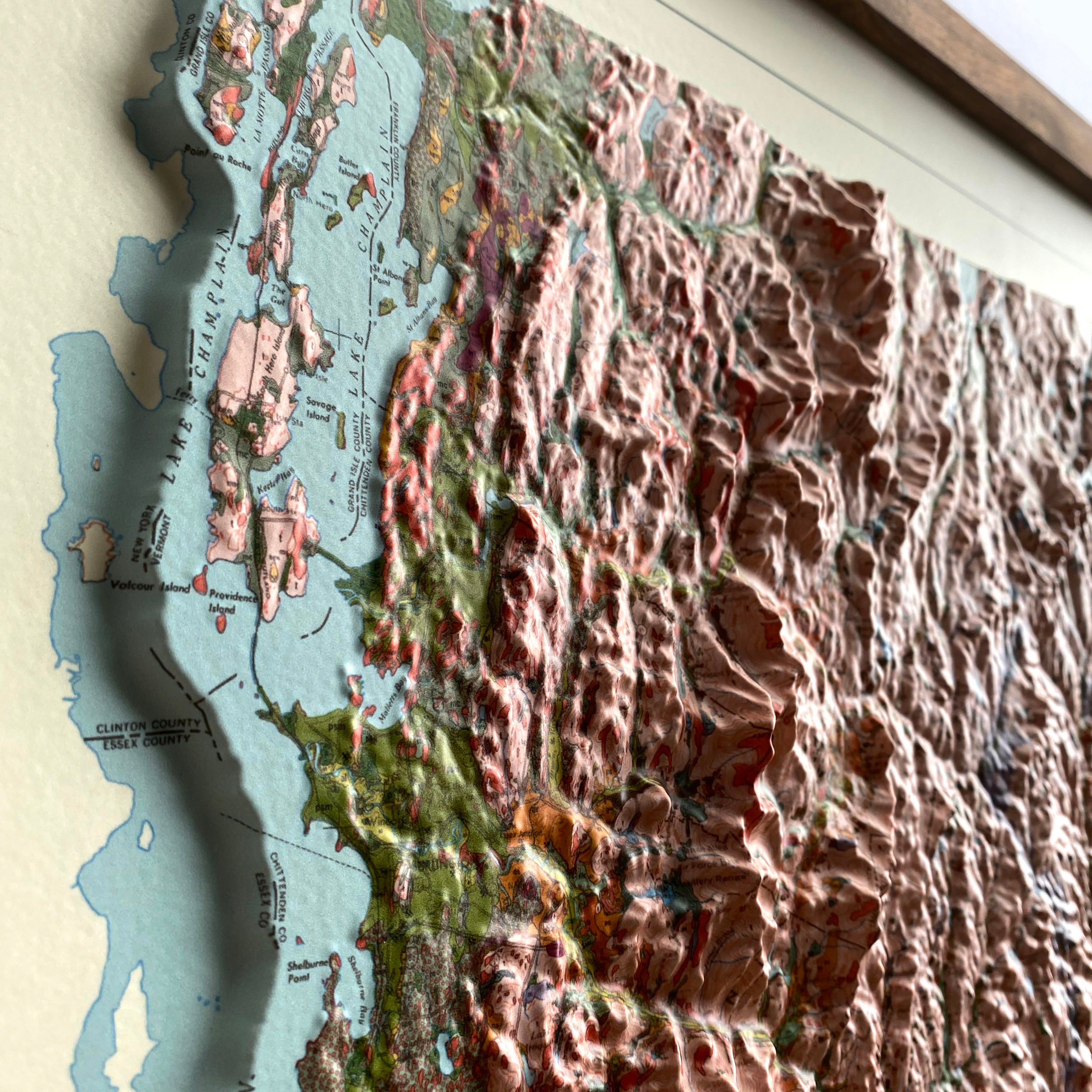
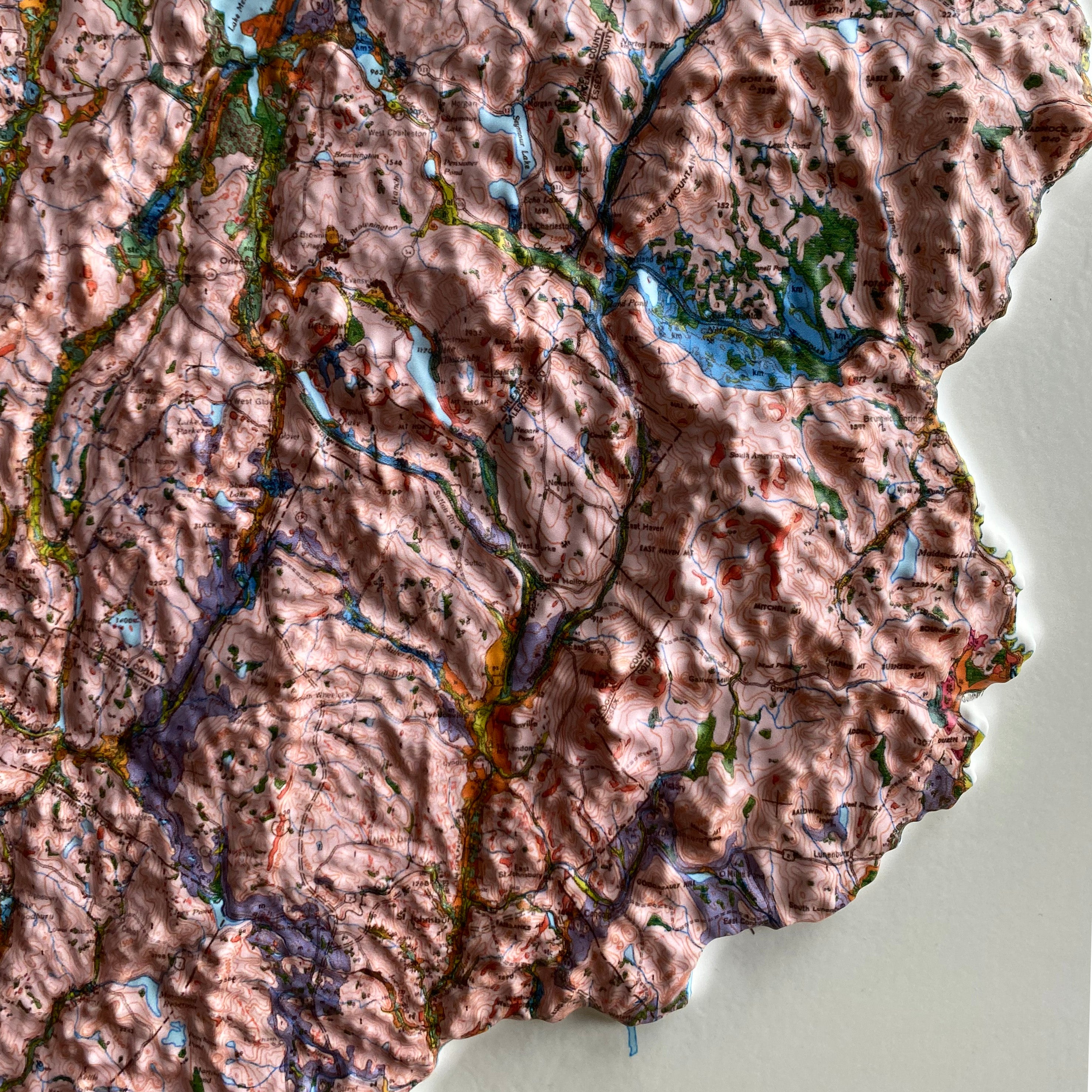
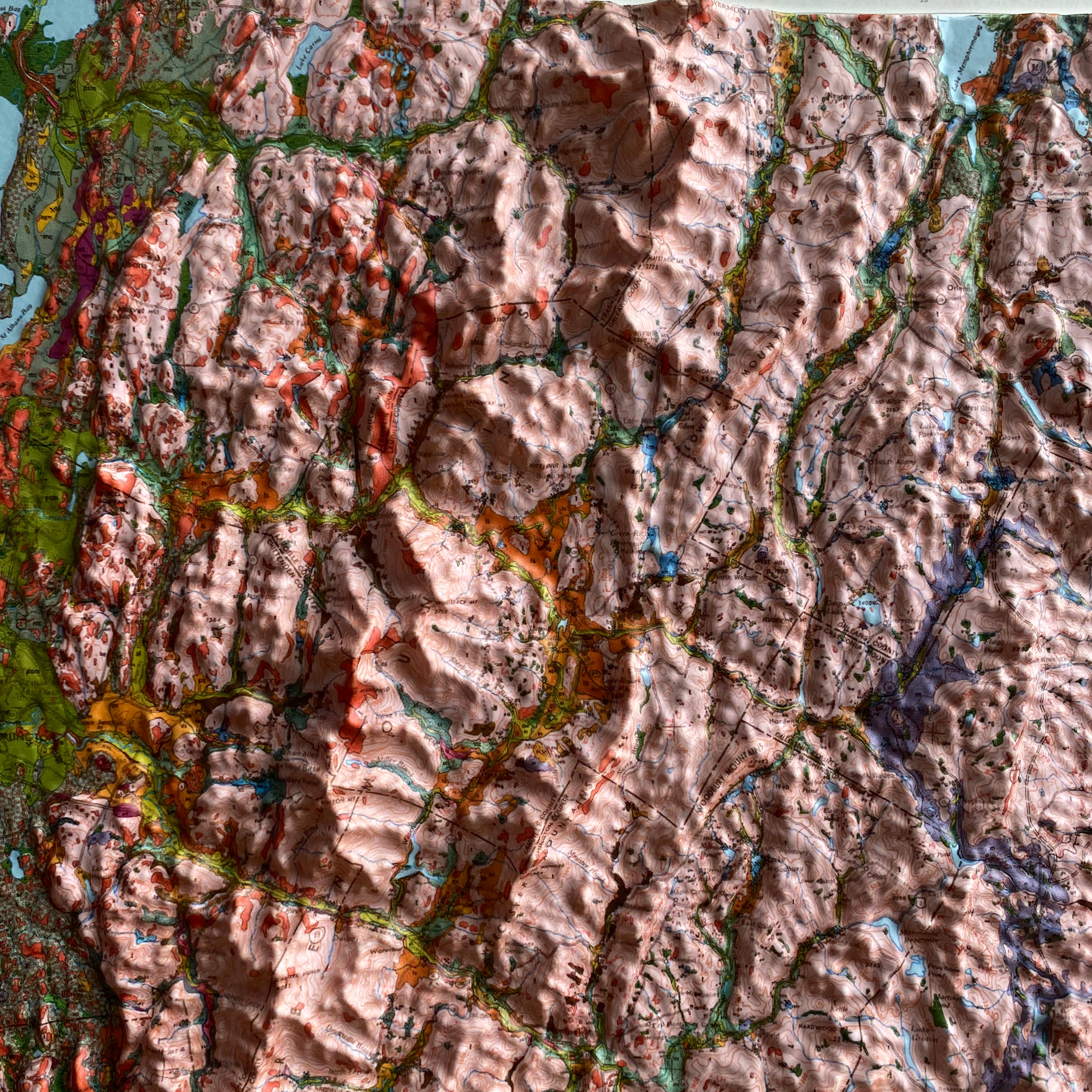
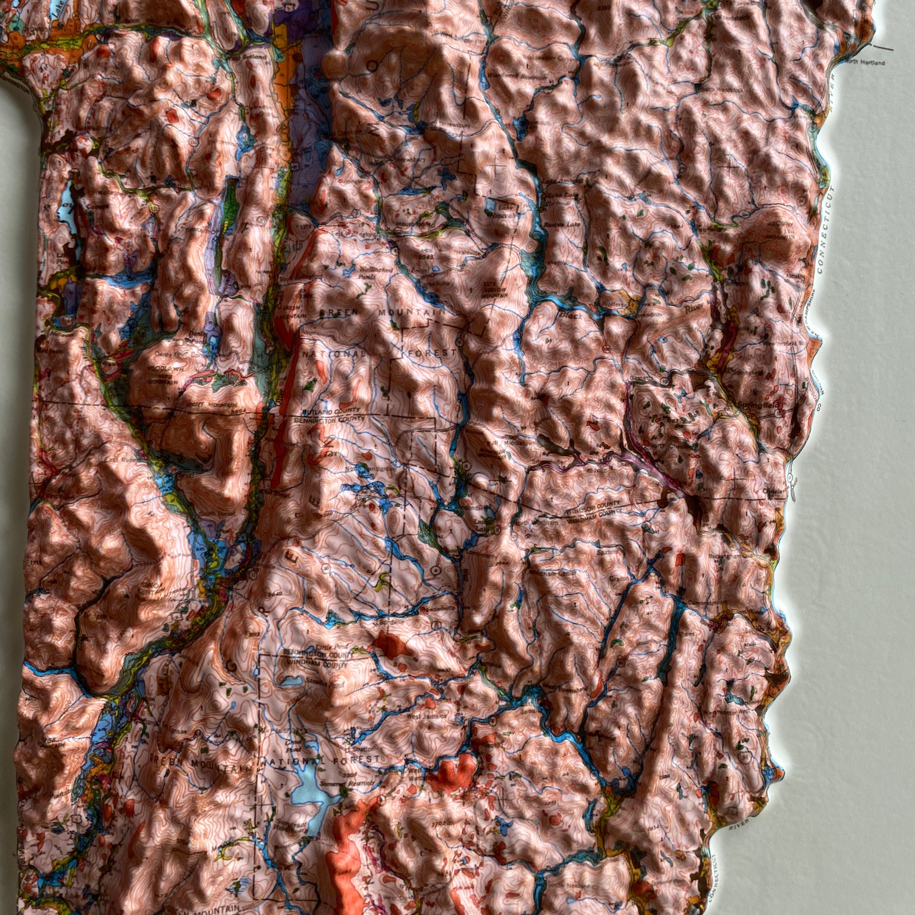
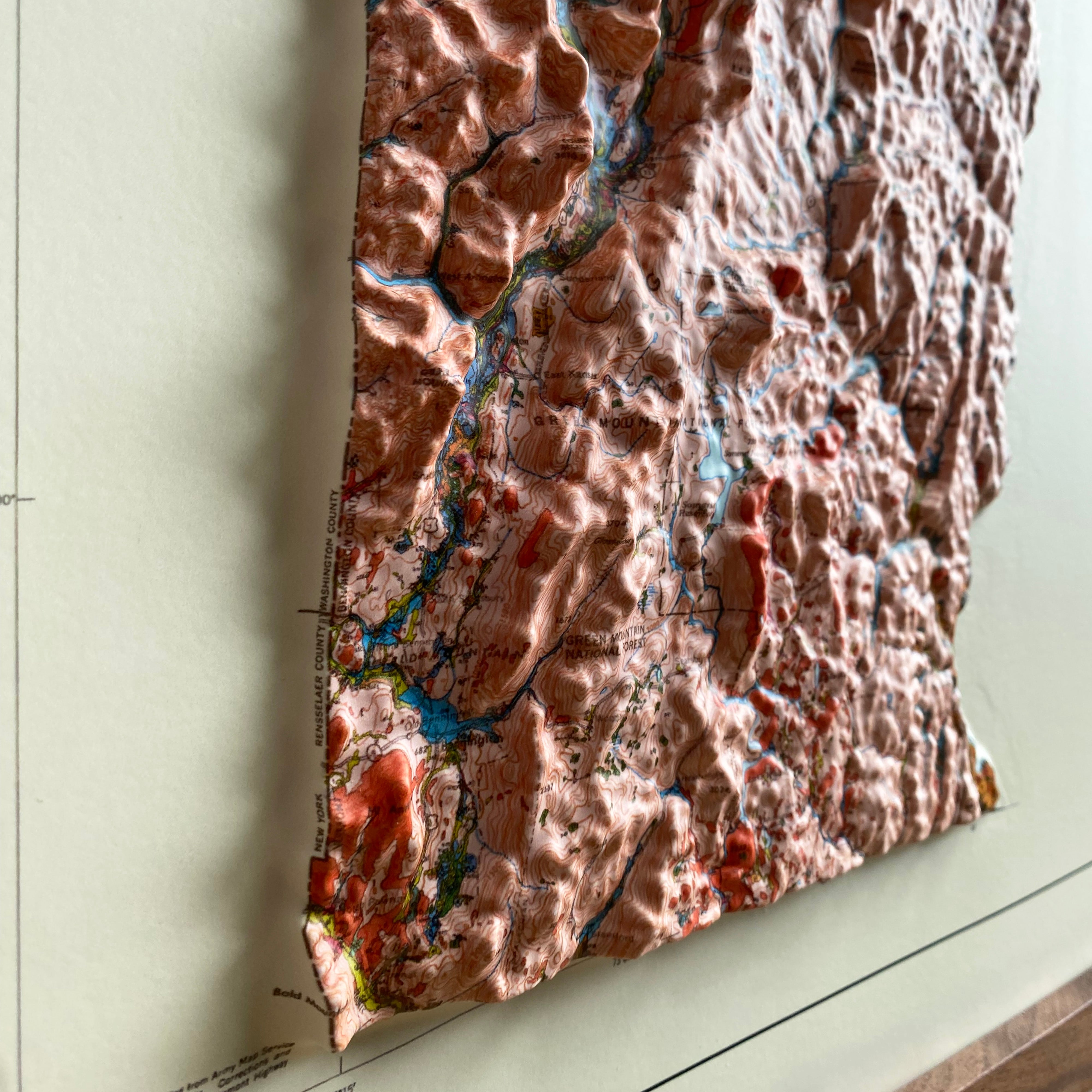
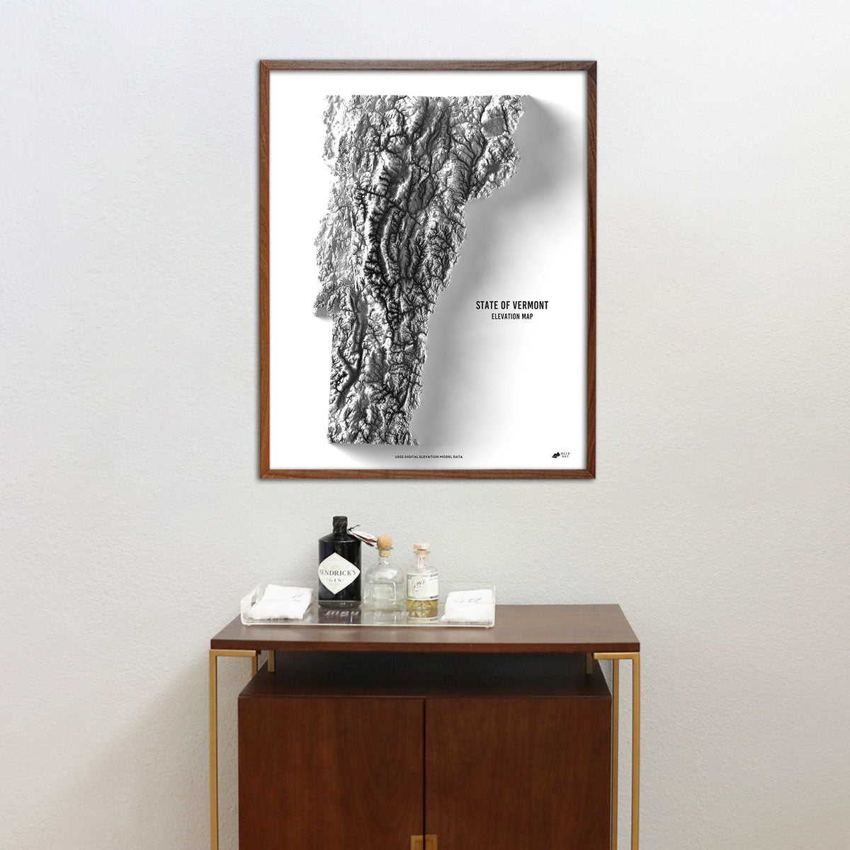
When you purchase a Vermont wall map from Muir Way, you will get a custom-printed archival piece of art, not just a generic print. Unlike a mass-produced poster, our maps are printed on archival fine art paper and are certified to last 100 years. The artwork on our maps is designed to bring new light to the beautiful terrain it features. Our elevation maps incorporate hand-shaded relief and Digital Elevation Data with historical map data, creating a unique 3D effect on a flat surface, and our hydrological maps depict every river and stream in crisp detail. The meticulous craftsmanship and design we bring to our Vermont maps create heirloom quality artwork to last for generations.
Does my Vermont map come framed?
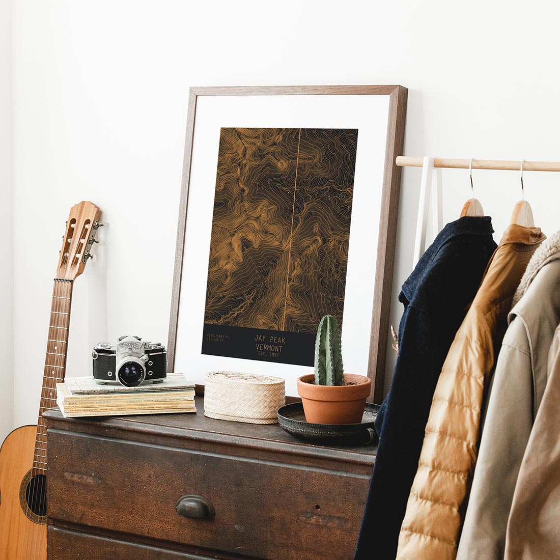
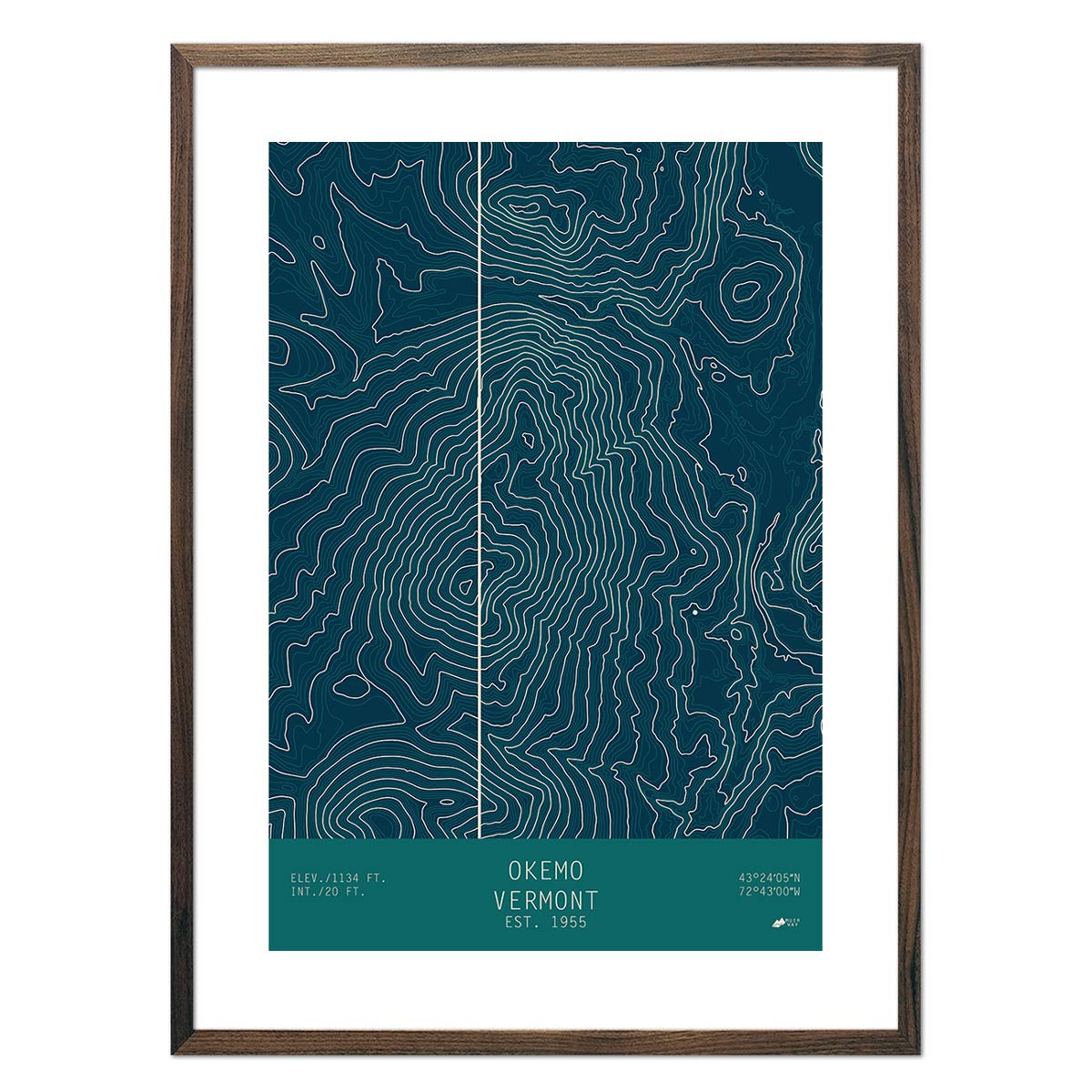
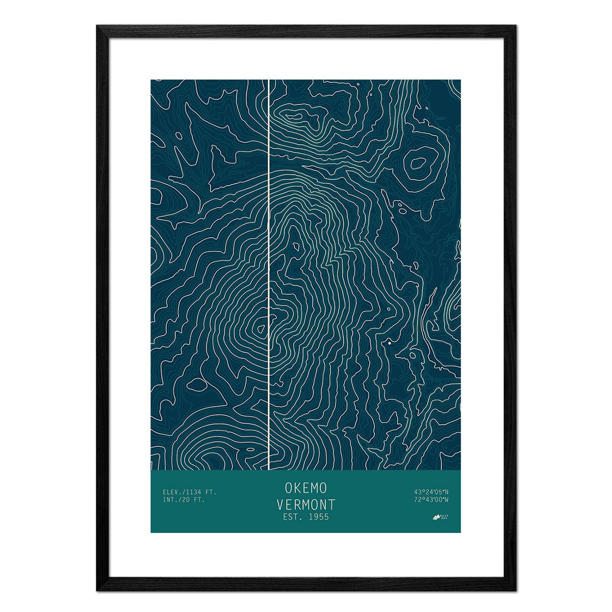
It can! You can purchase your Vermont map professionally custom-framed with real wood, or unframed if you prefer to use your own. If you’d like to purchase a framed Vermont wall map, there are several different wood finishes to choose from. If you’d prefer to use your own frame, all of our maps come in standard sizes for easy gift giving.
Does a Muir Way map of Vermont make a good gift?
Yes! Our custom-printed maps of Vermont make the perfect gift for outdoor enthusiasts, to commemorate anniversaries, or as a thank-you gift for someone special. Memorialize the experience of a special holiday to the Green Mountains, Lake Champlain, or any of the other stunning Vermont landscapes. One of our state relief maps can be a perfect graduation gift for a student about to leave home for the first time, or a reminder of home for someone from Vermont but who no longer lives there. Our maps also make beautiful corporate gifts that will remind your clients or colleagues of you every time they see it.
Where should I display my Vermont map?
Our maps are designed to offer crisp detail close-up and across the room. Hang a framed wall map as a central focus or purchase several maps in a similar style or from a particular region and arrange them near each other for a complementary series. Our hydrological maps come in several colors or the classic black and white, and our geological relief maps feature vibrant colors. No matter which you choose, you are sure to find a Vermont map that will look right at home.
What are the different types of maps of Vermont available on Muir Way?
Our Vermont maps are available in several different styles, including:
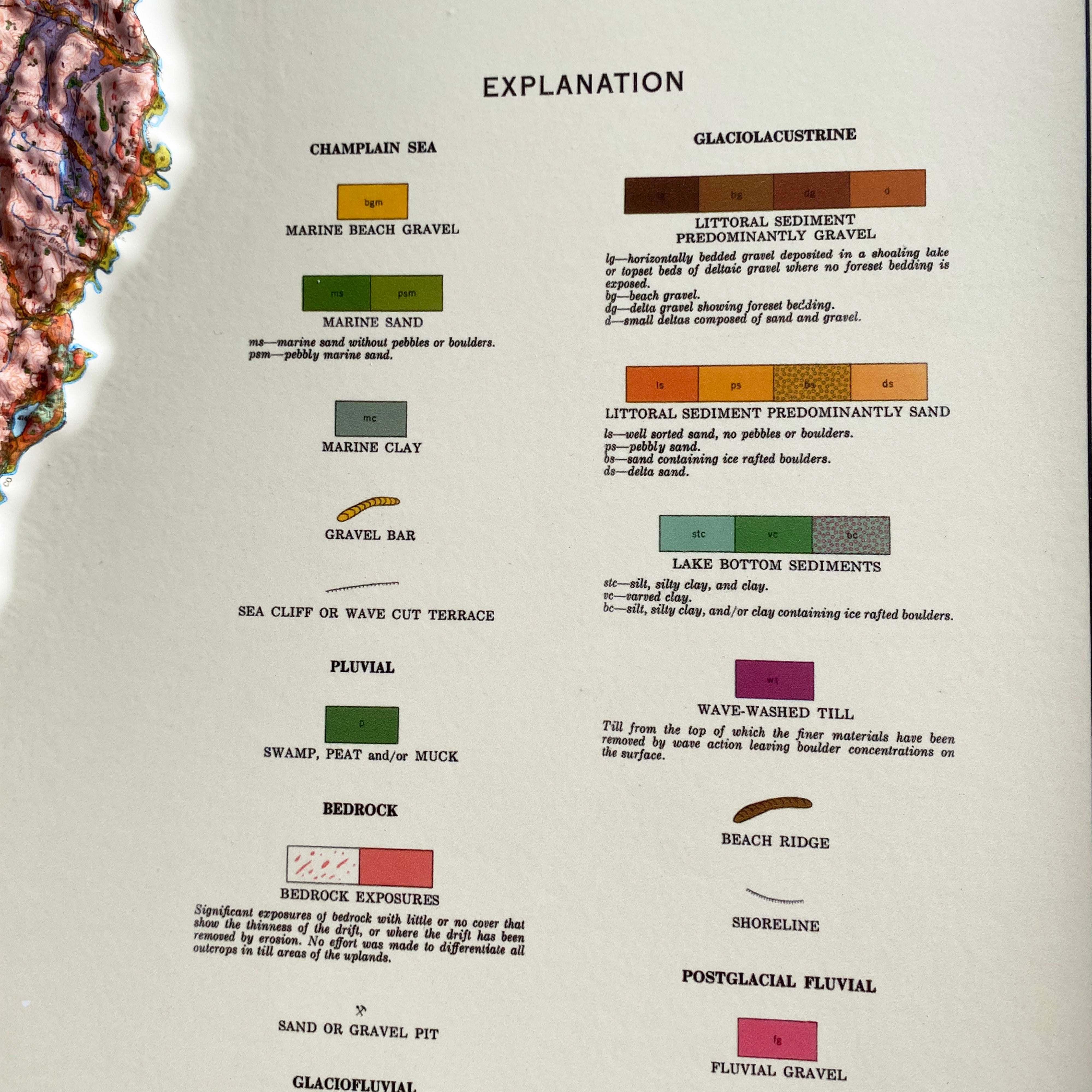
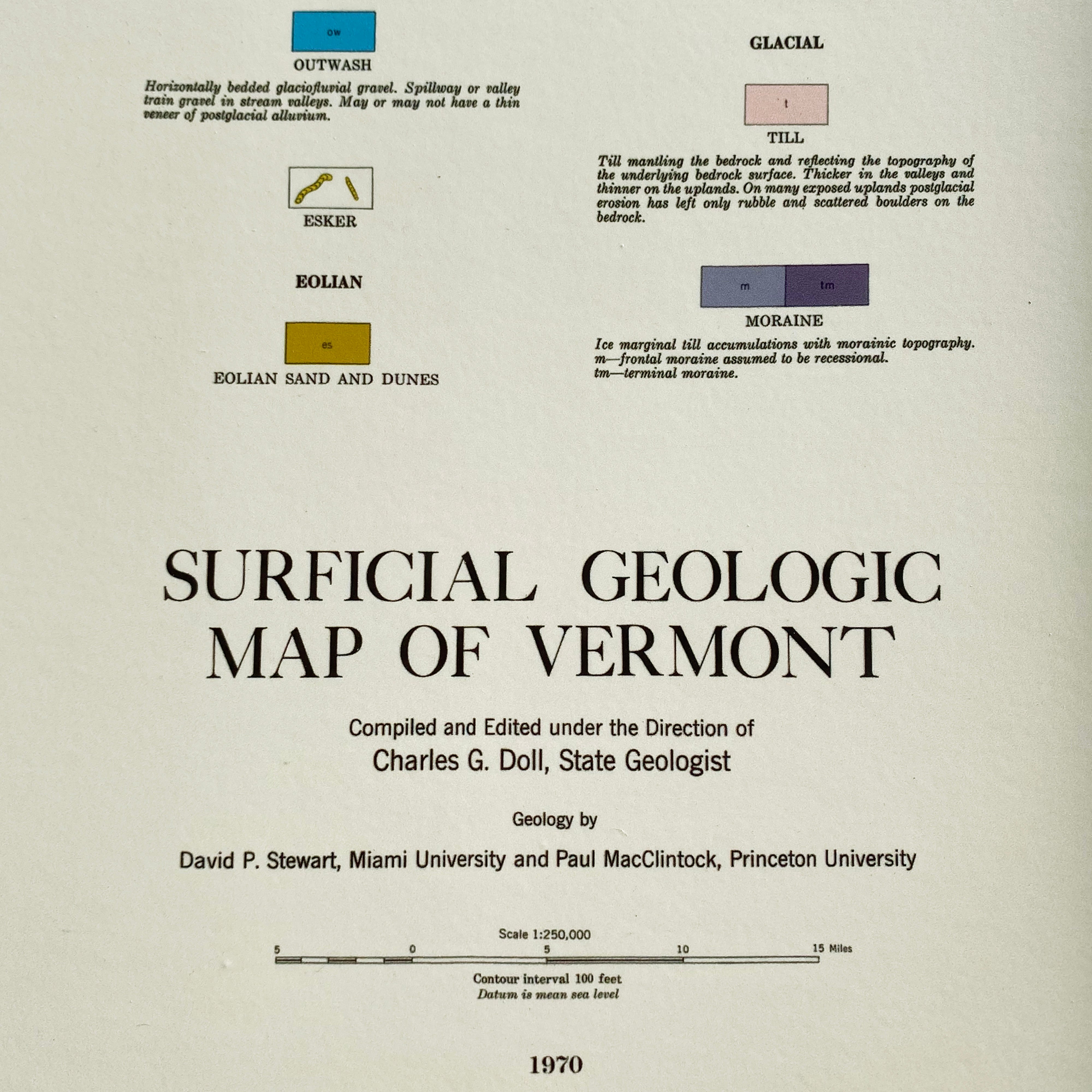
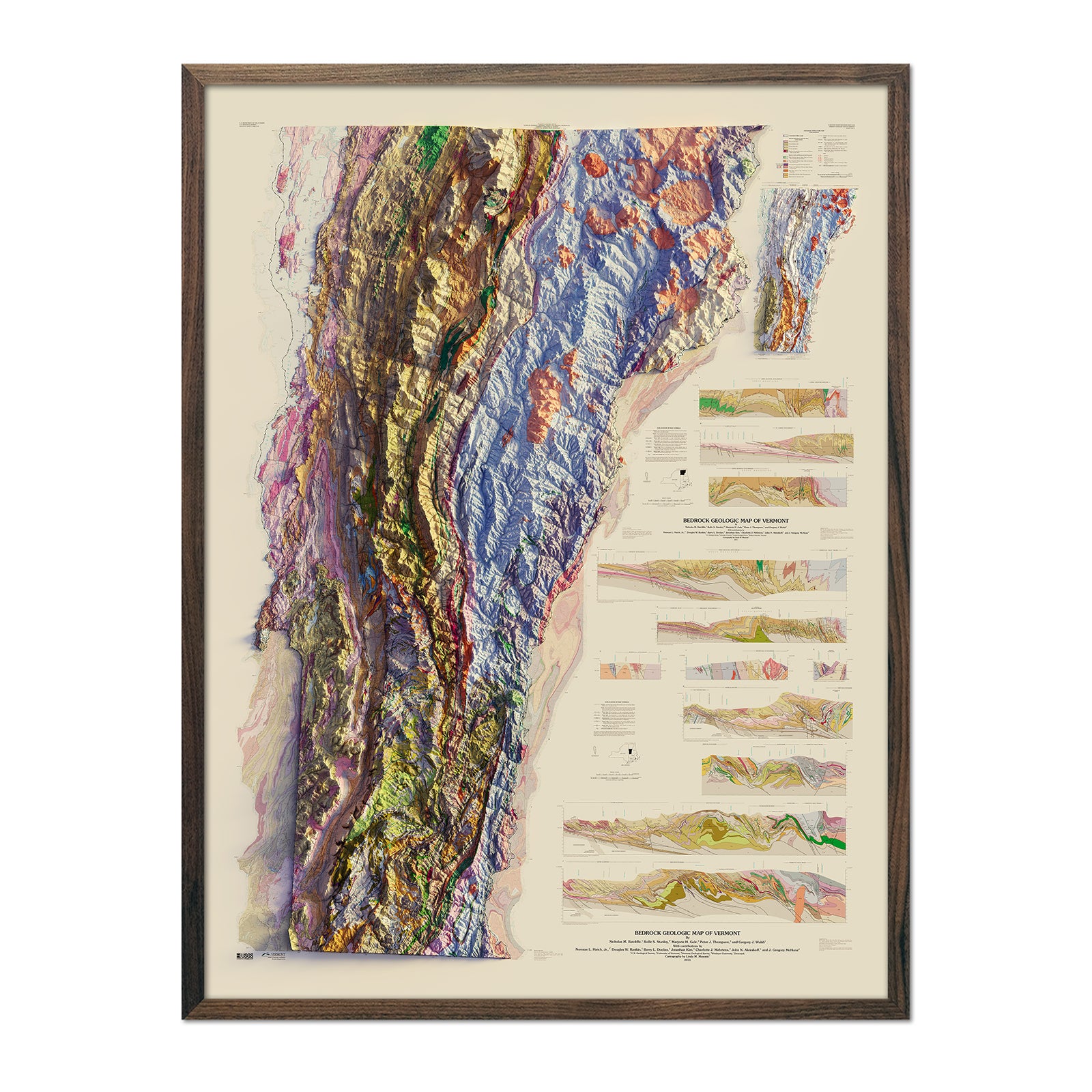
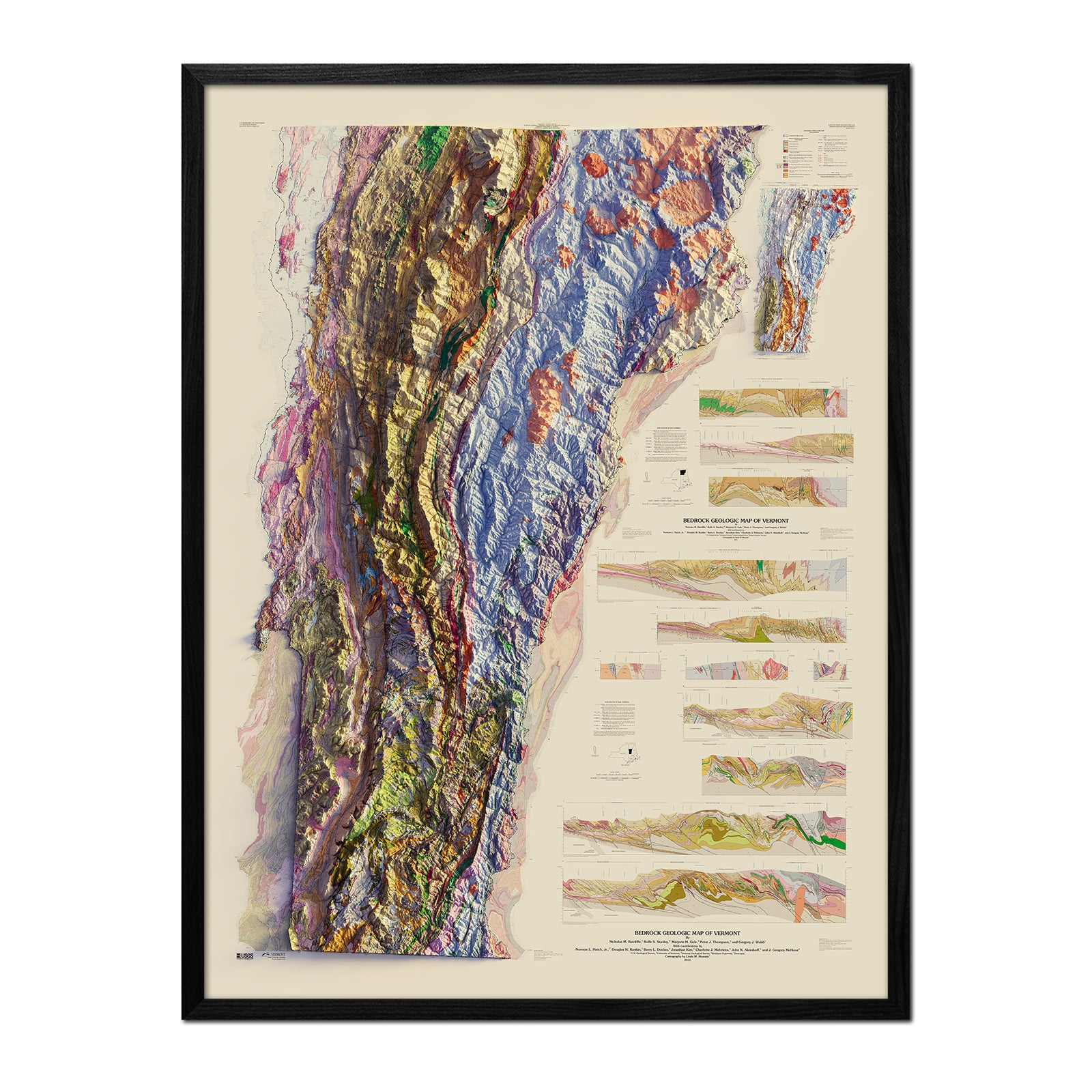
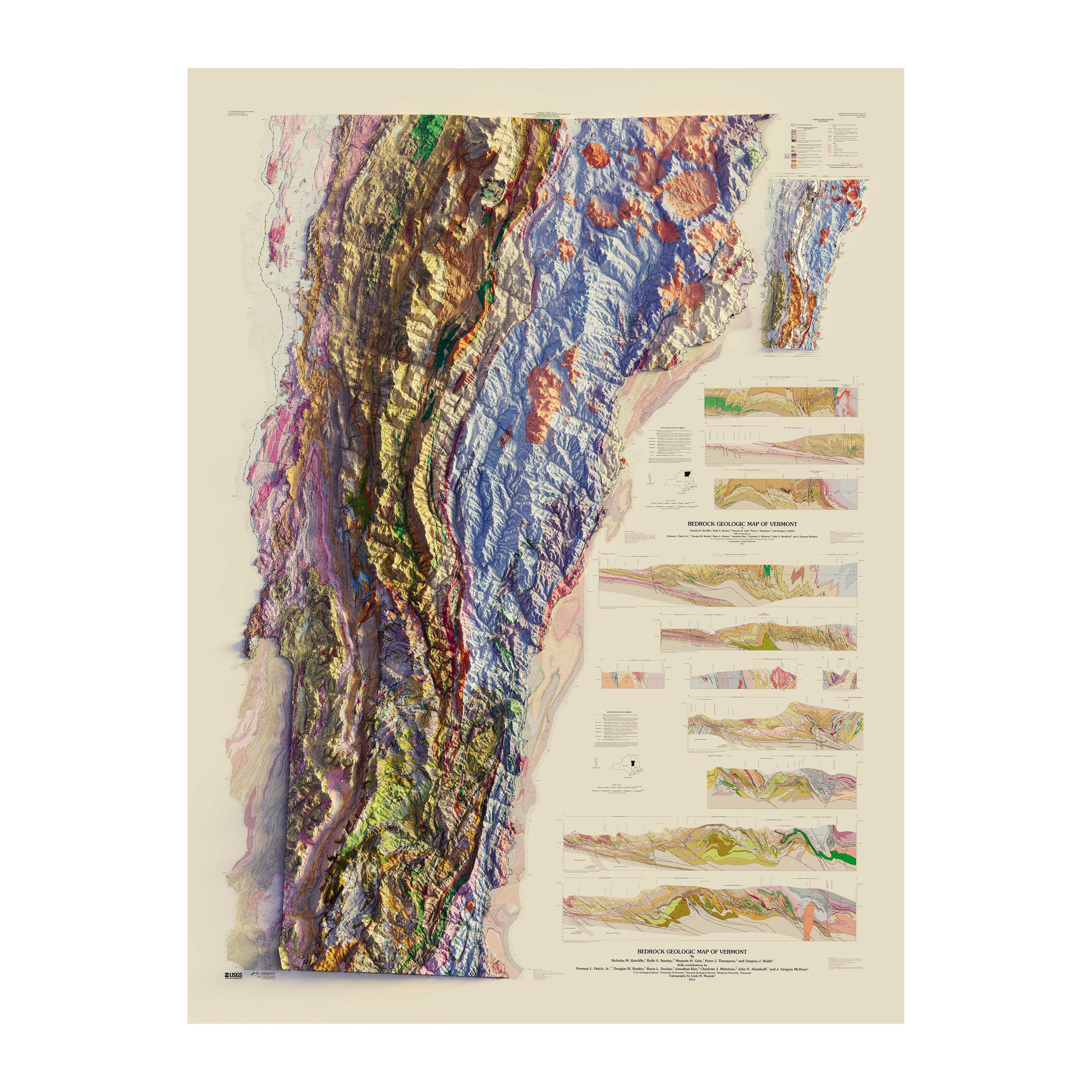
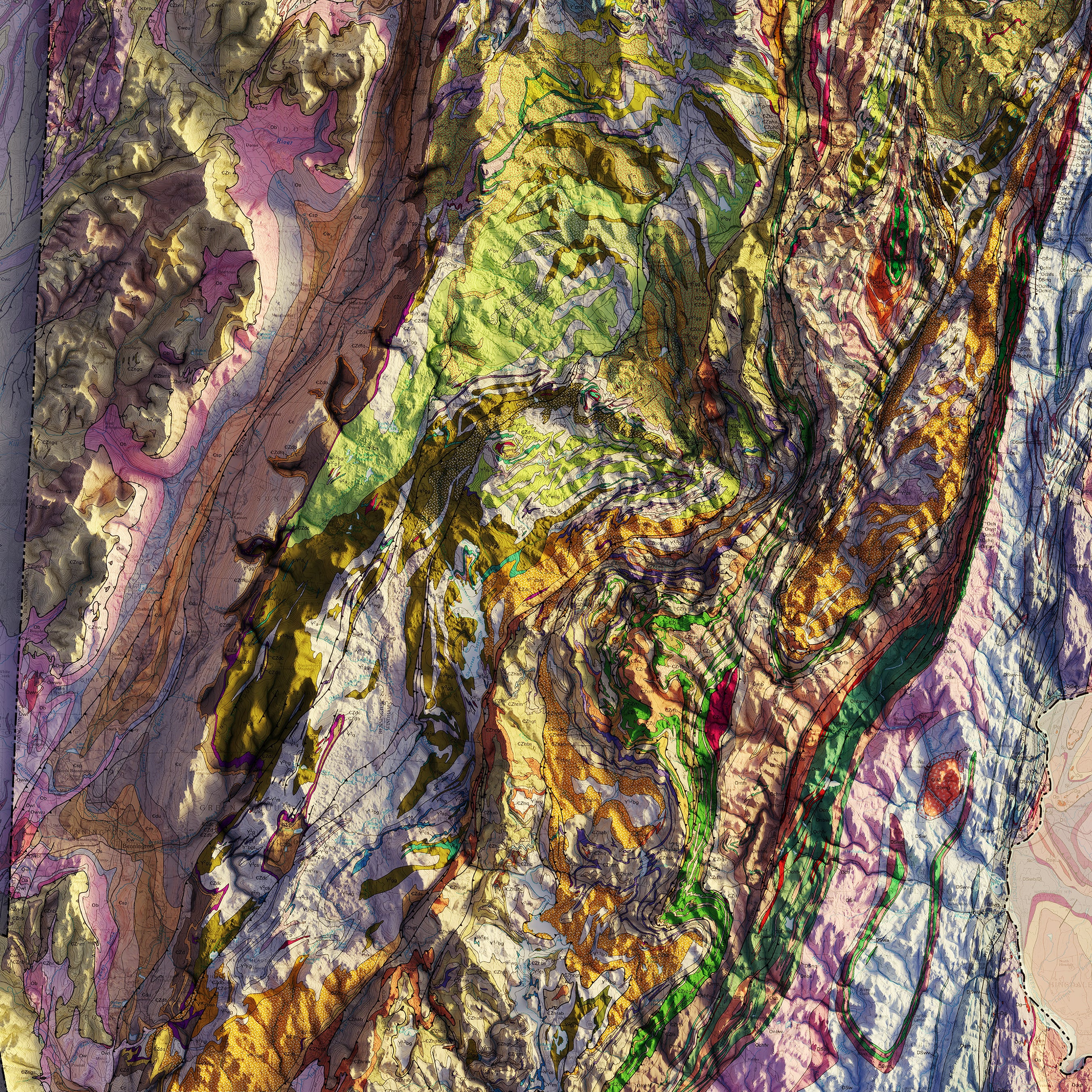
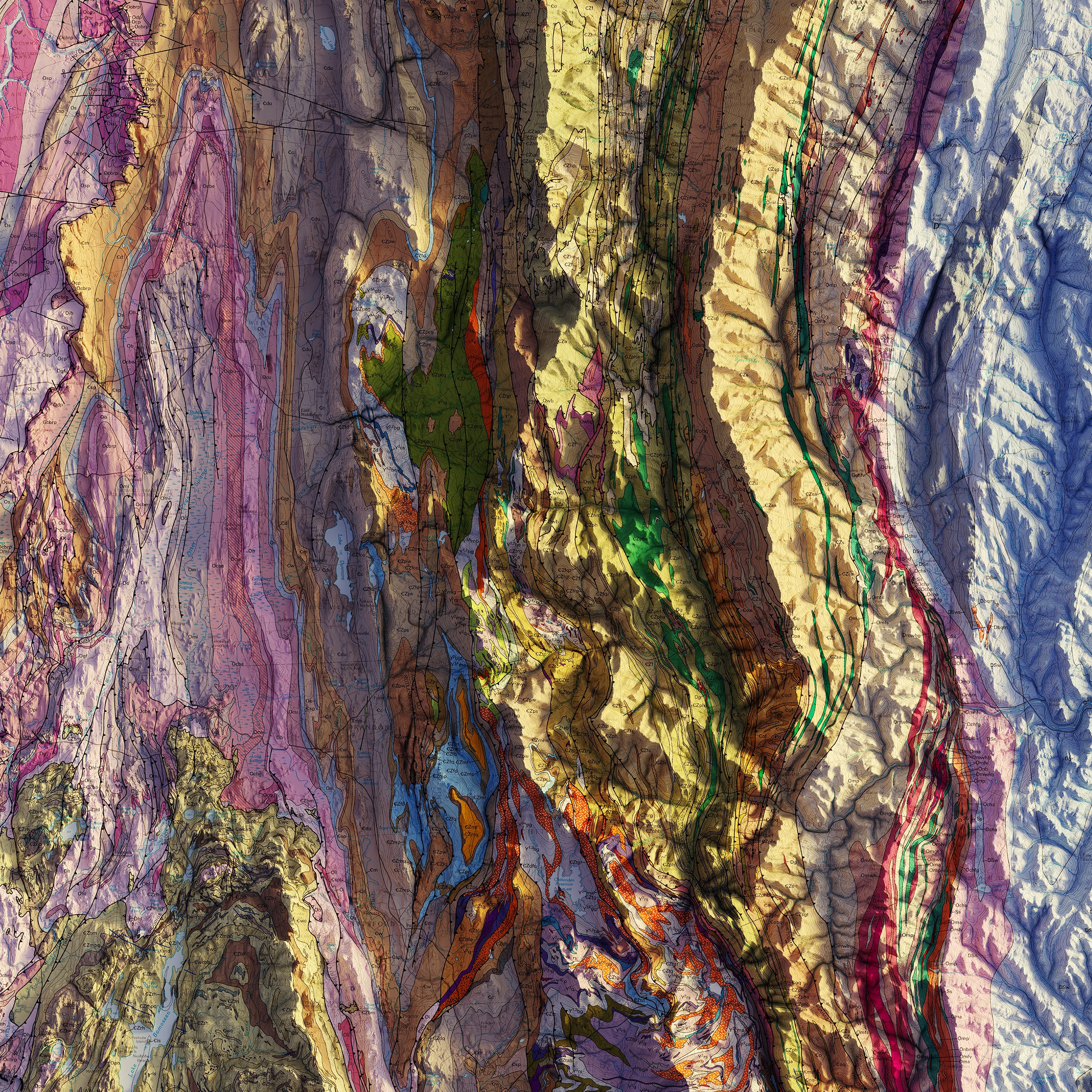
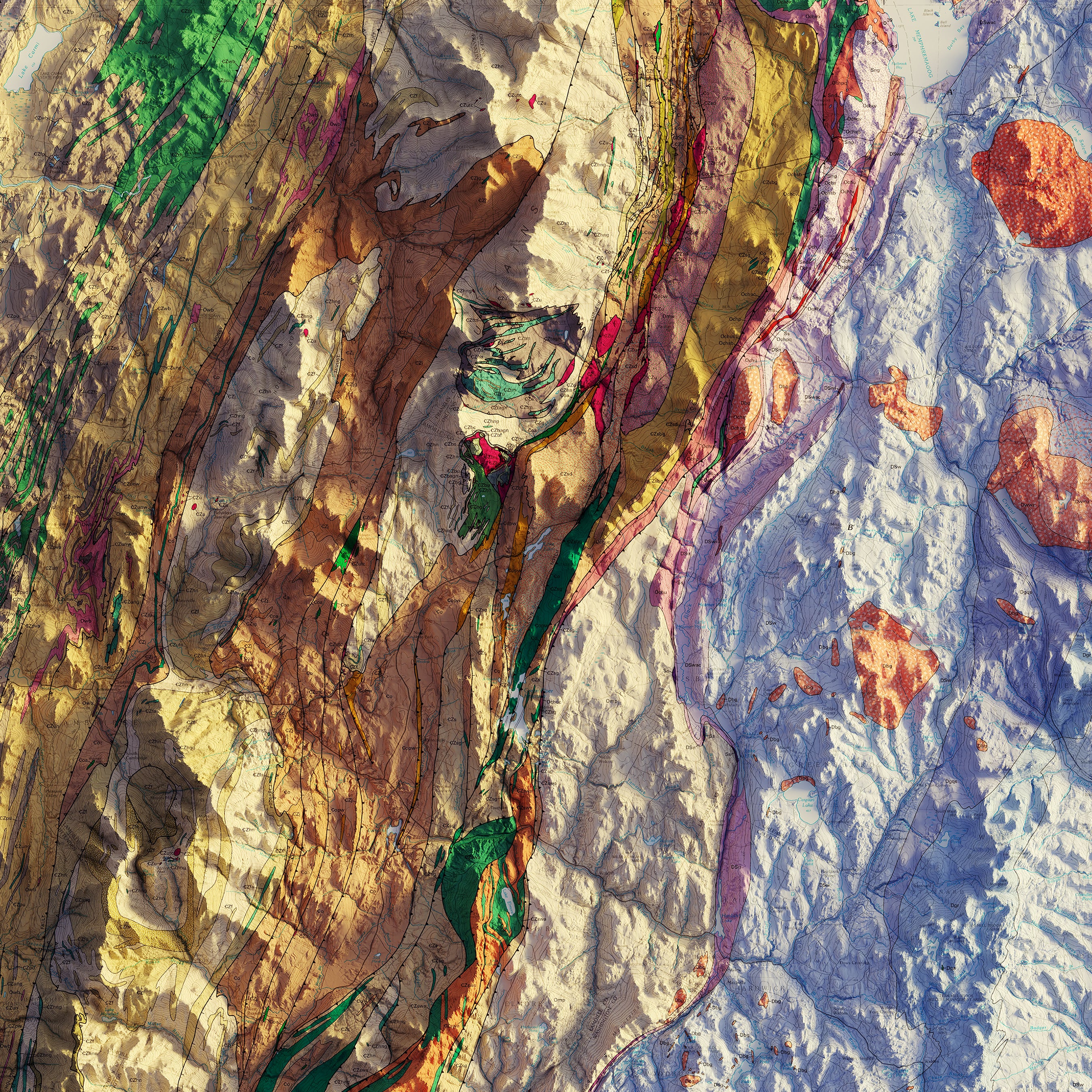
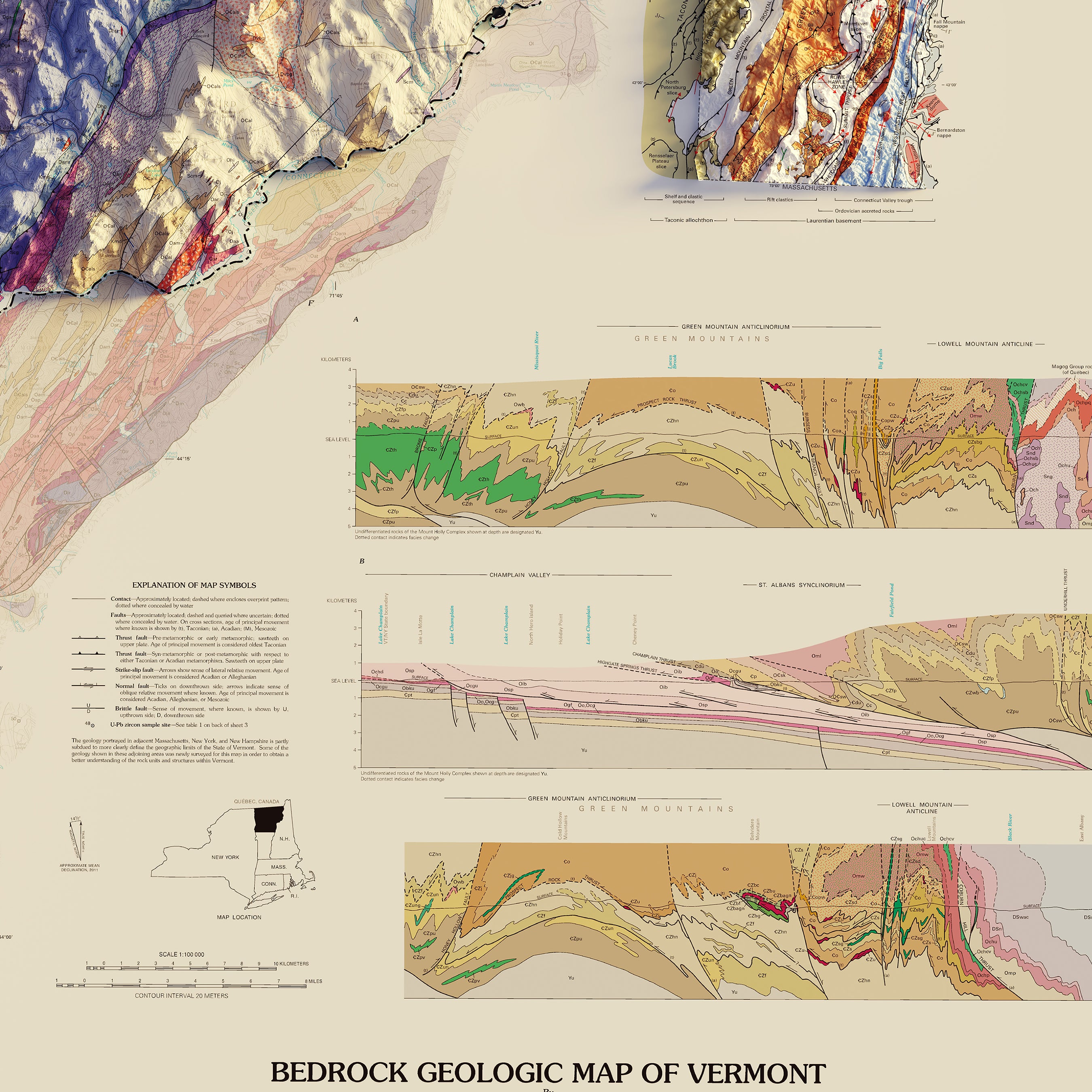
Vermont Relief maps - Our relief maps of Vermont bring historical map landscapes together with modern technology to show Vermont’s spectacular terrain in a new way. Using Digital Elevation Data and hand-shaded relief, we custom enhance vintage maps to create a 3D effect on a 2D surface. See Vermont’s amazing terrain in vibrant colors on our Vermont 2011 relief map.
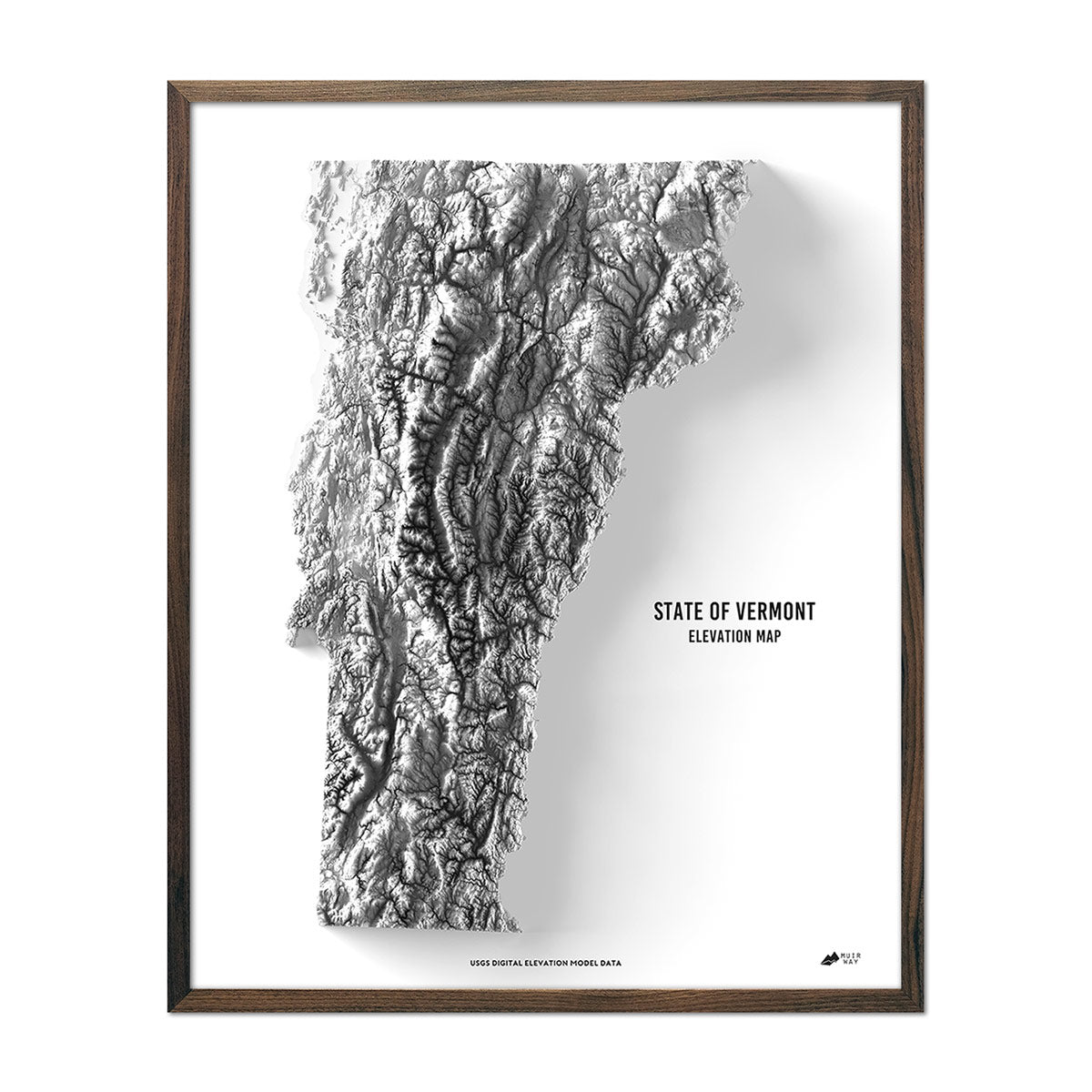
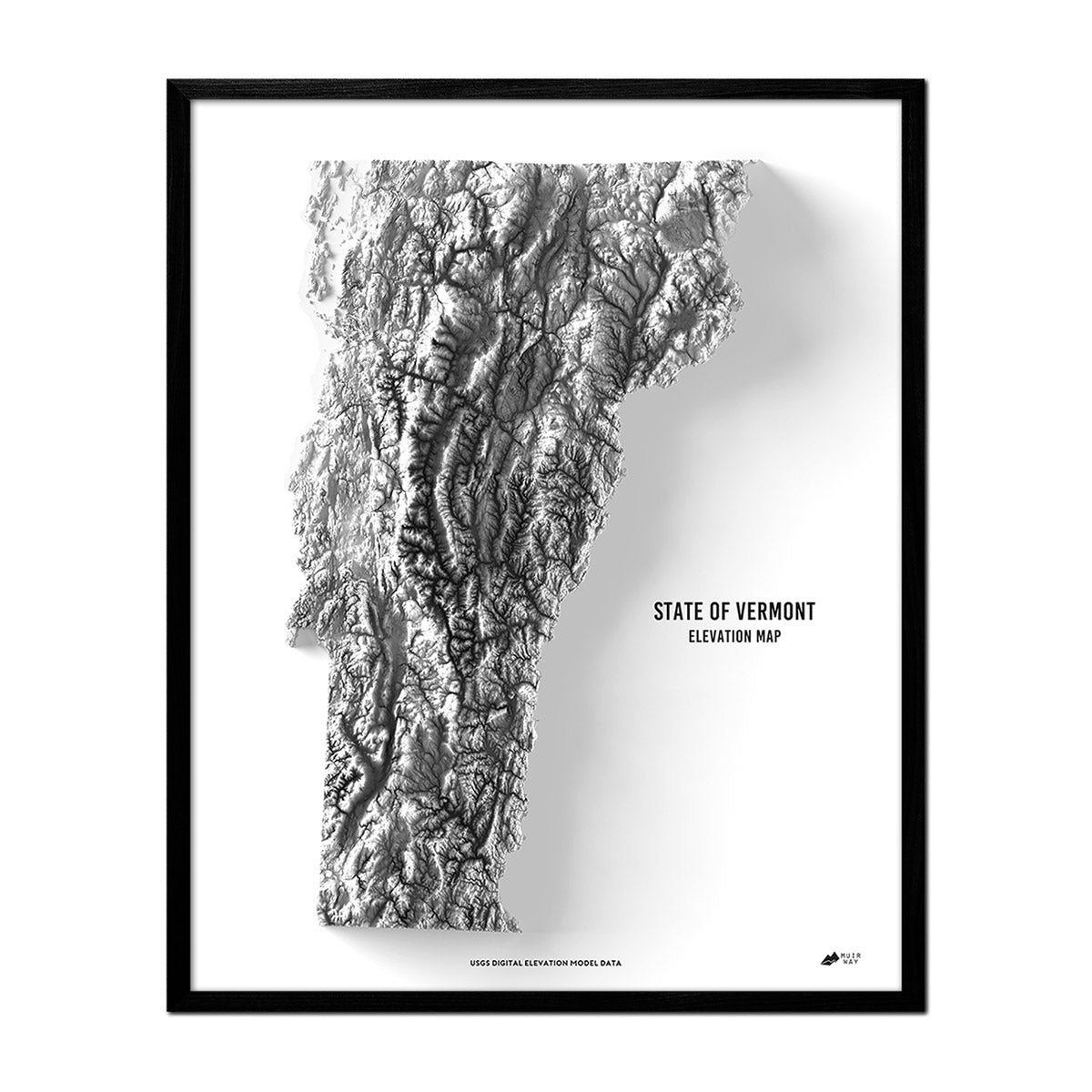
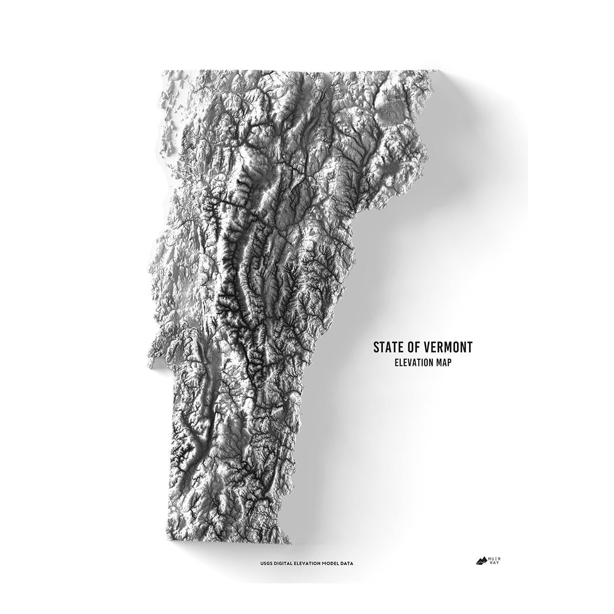
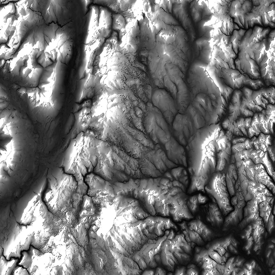
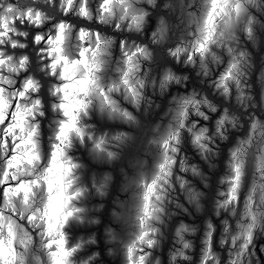
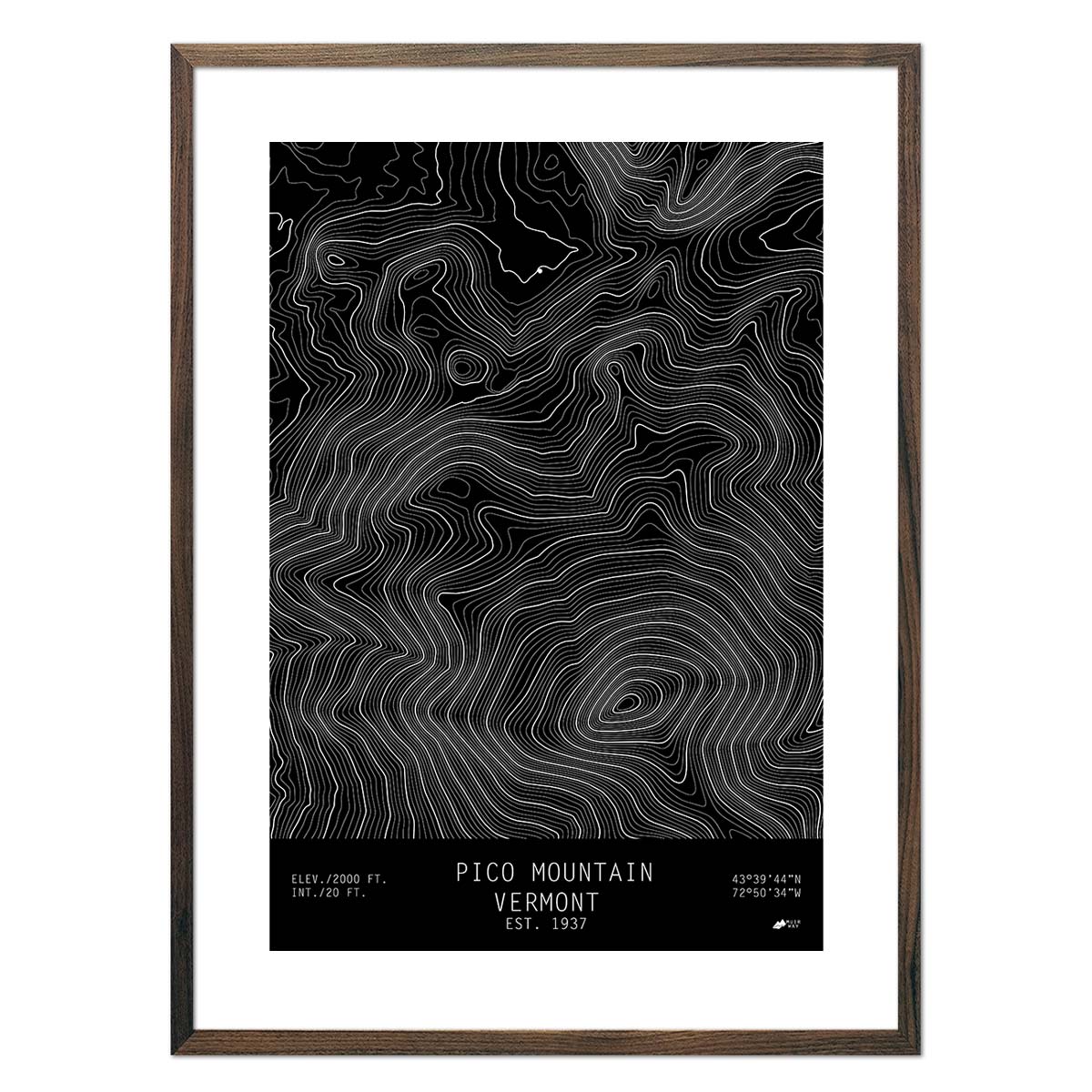
Vermont elevation maps - Our Vermont elevation map uses Digital Elevation Data from the USGS and hand-shaded relief just like our relief maps to create a high-contrast 3-dimensional effect in stunning black and white.
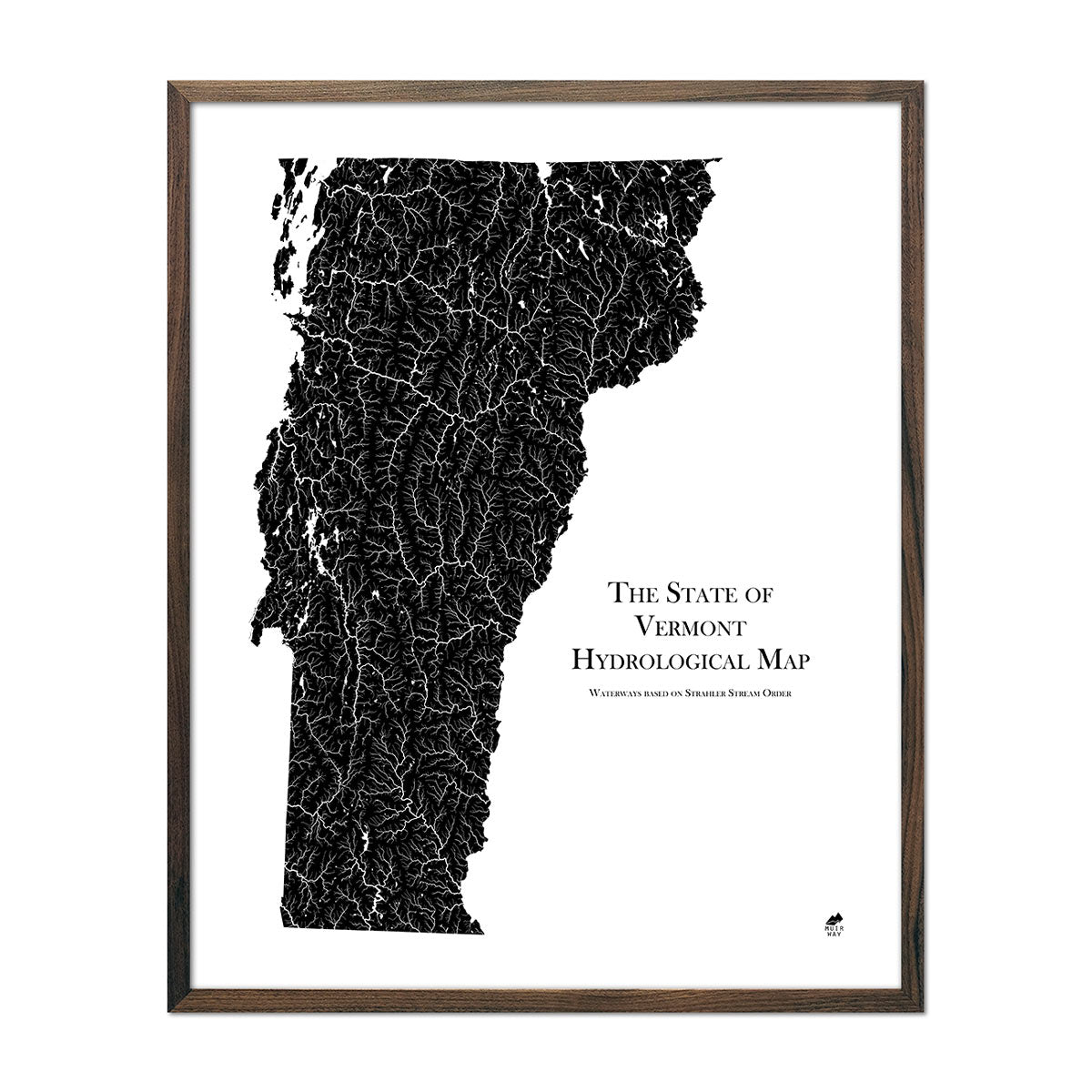
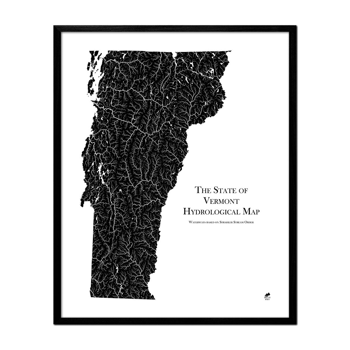
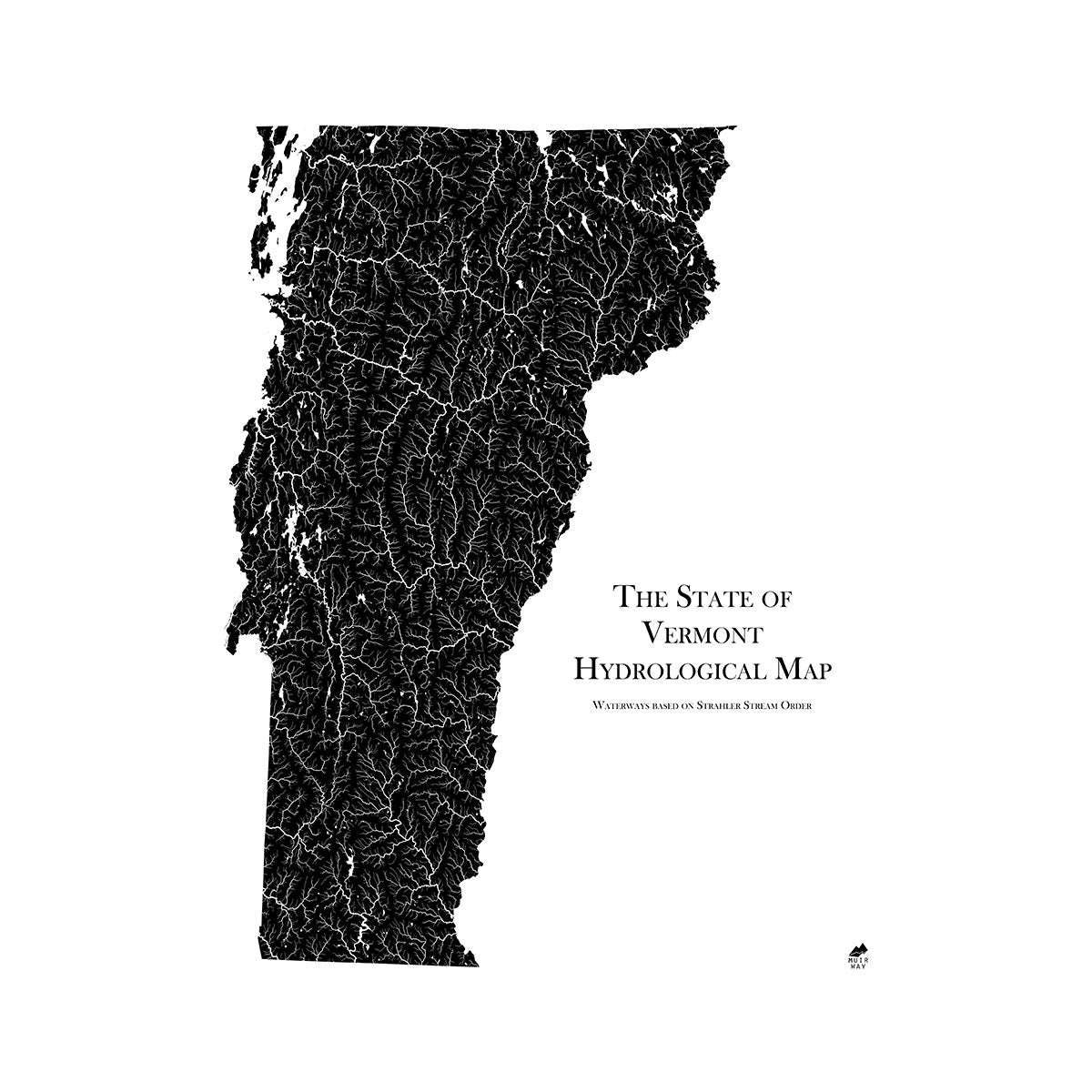
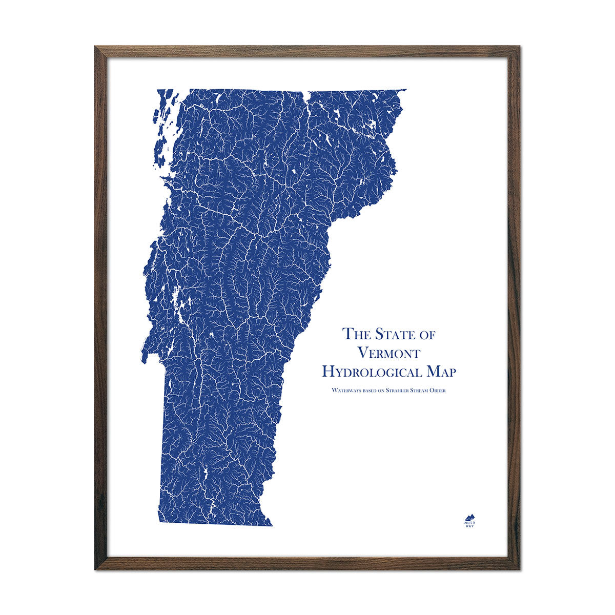
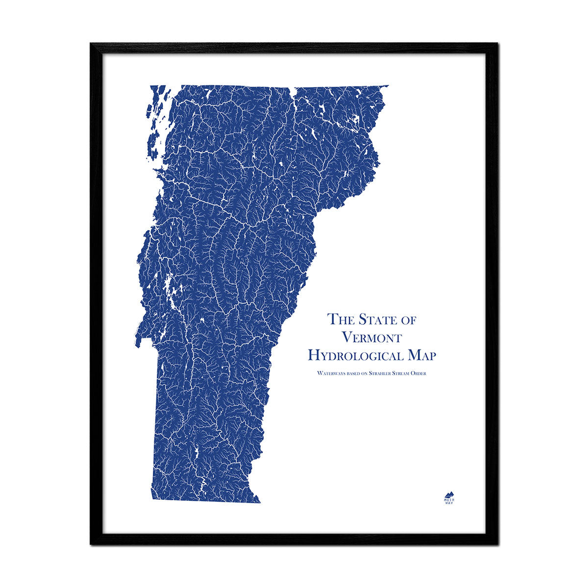
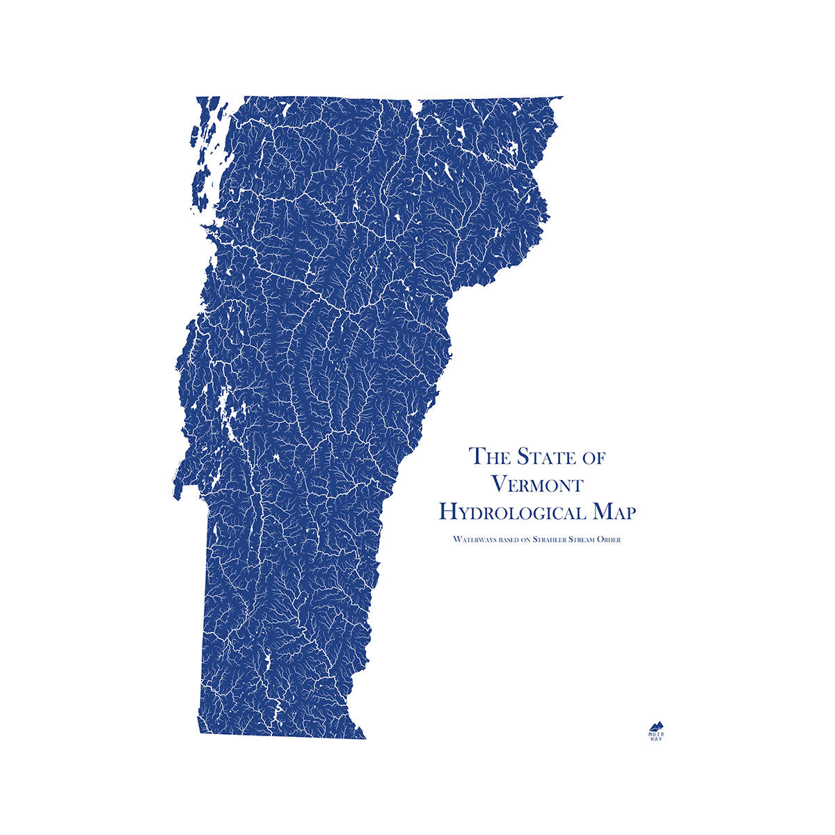
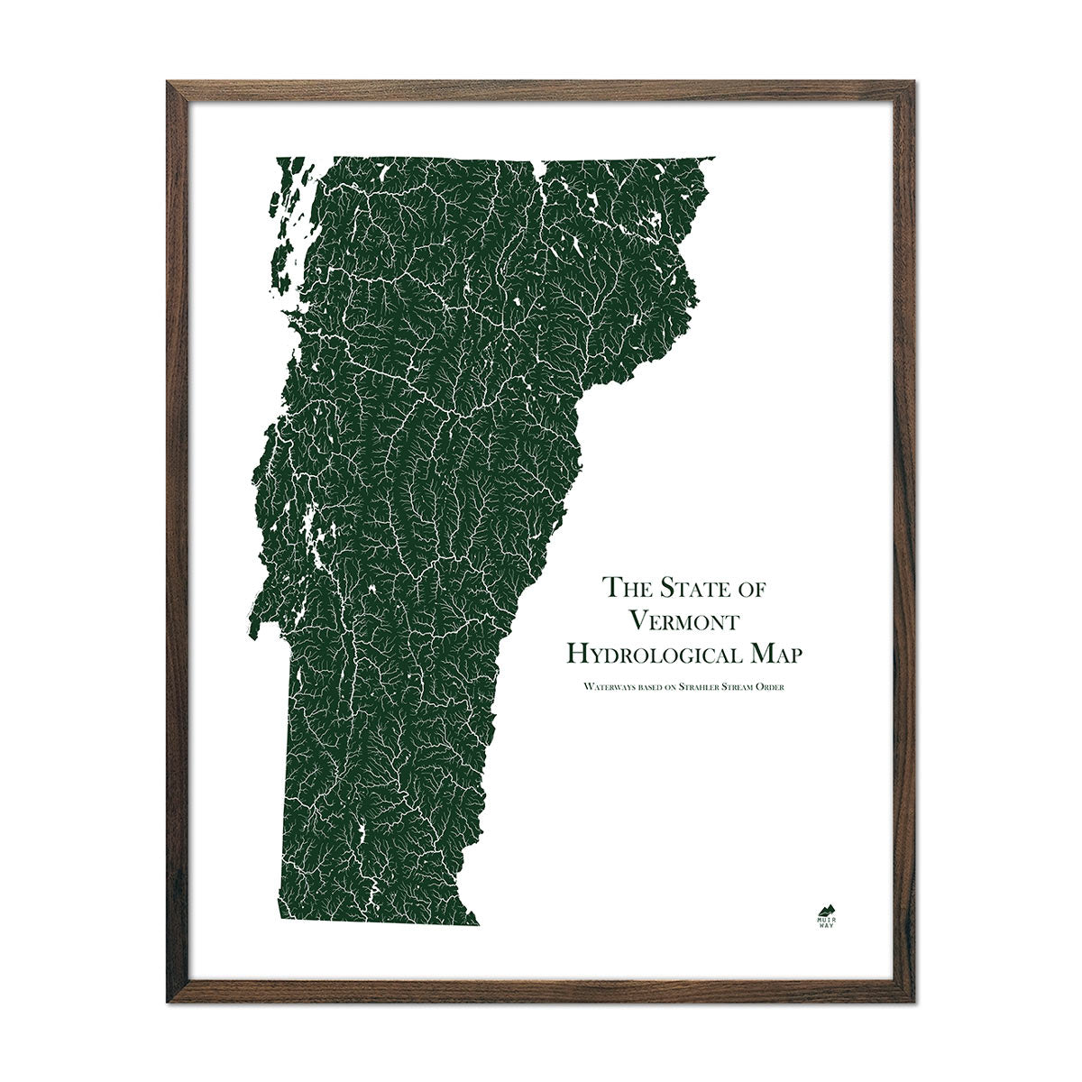
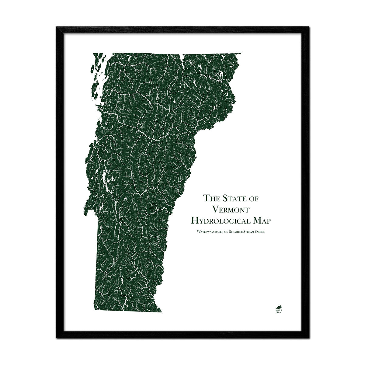
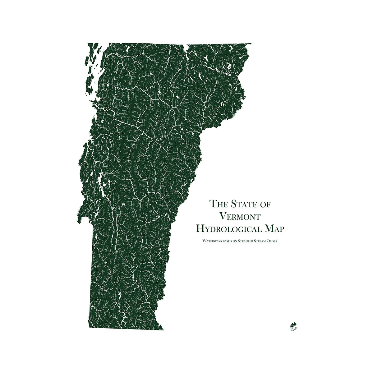
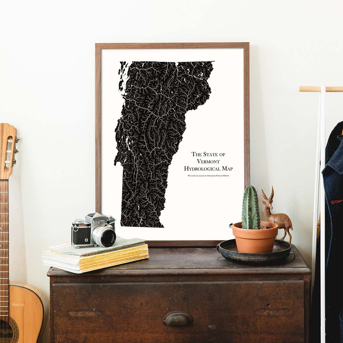
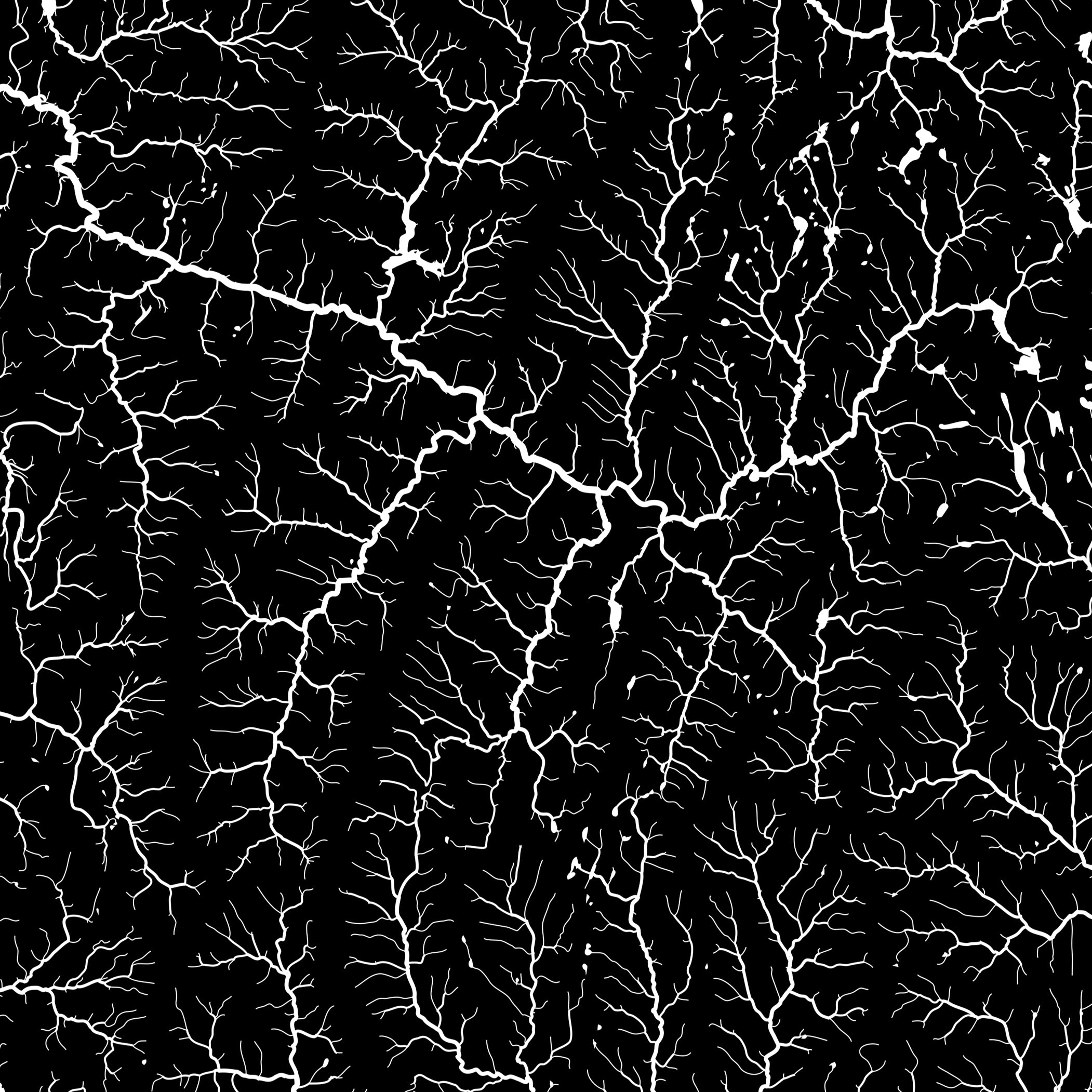
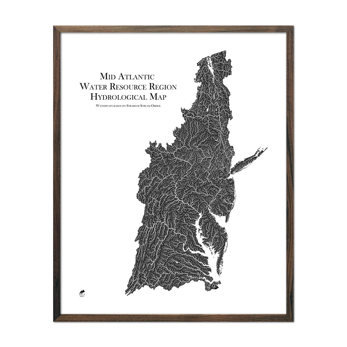
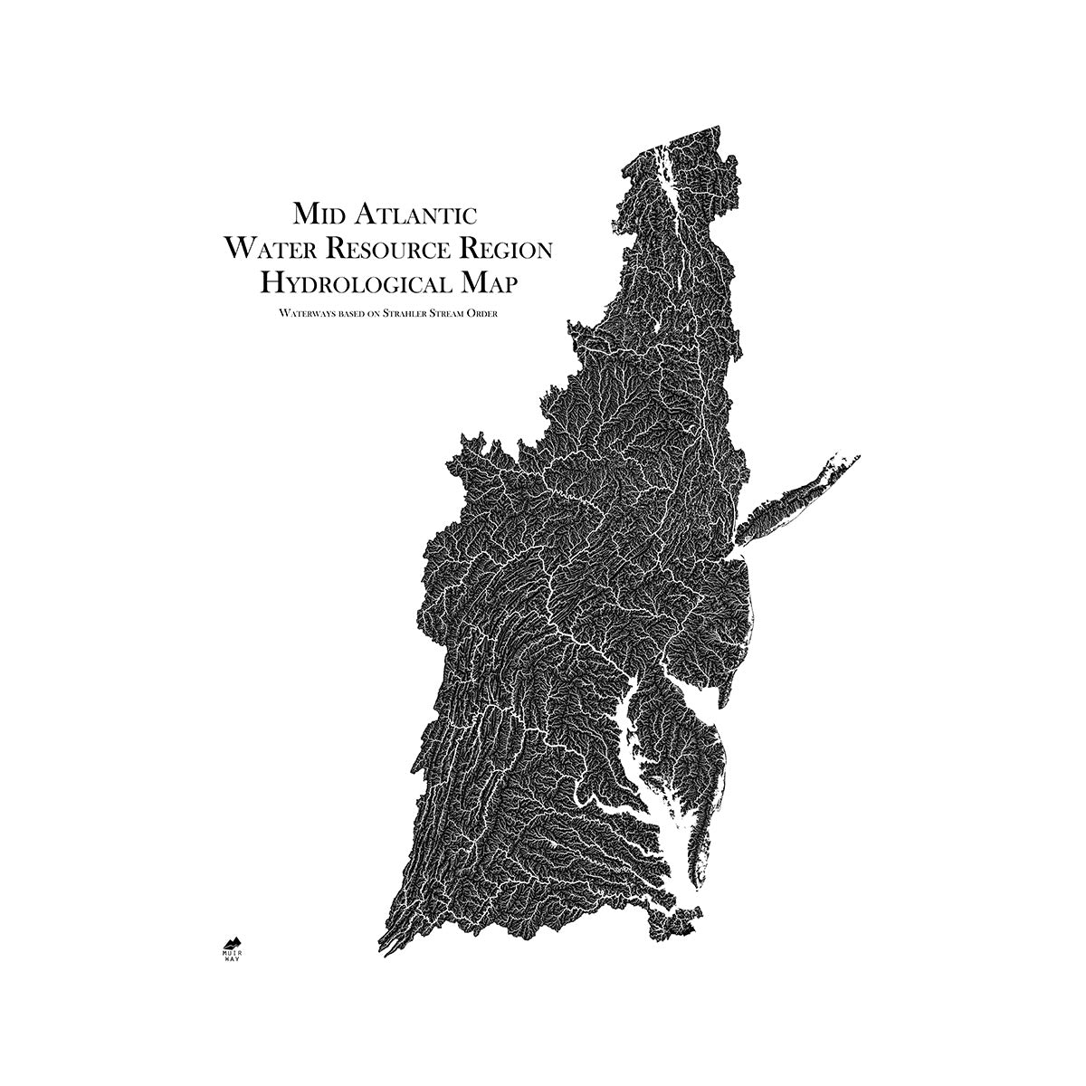
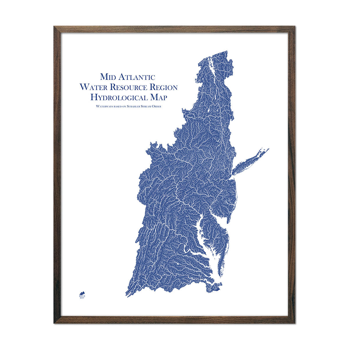
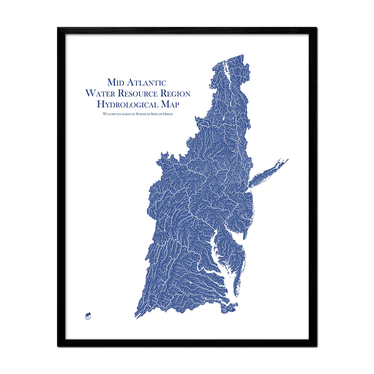
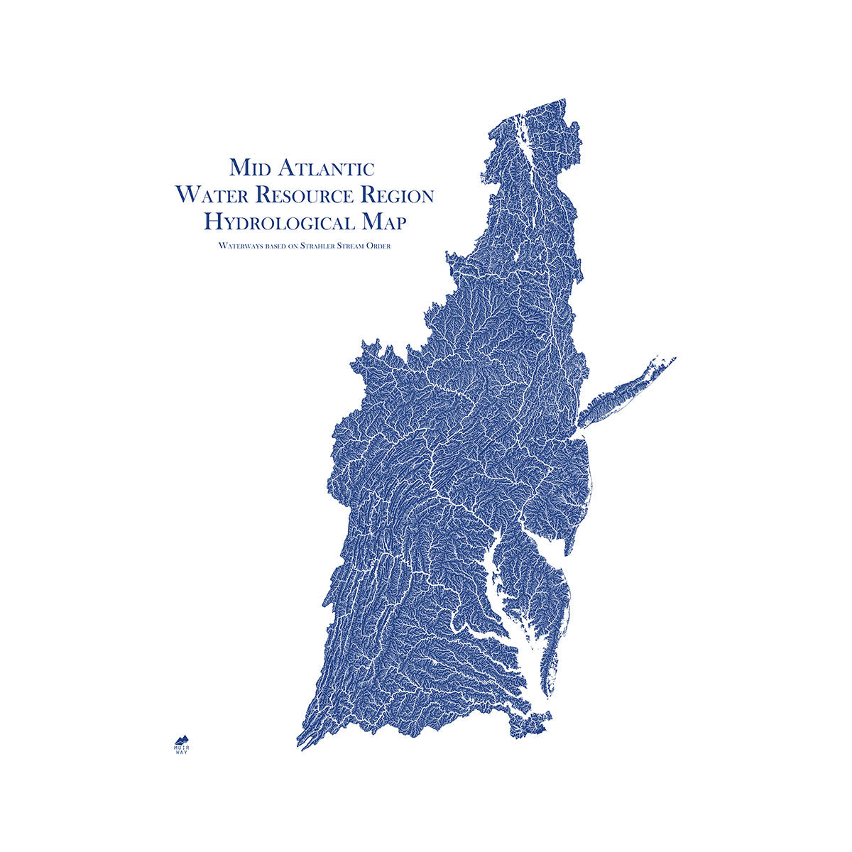
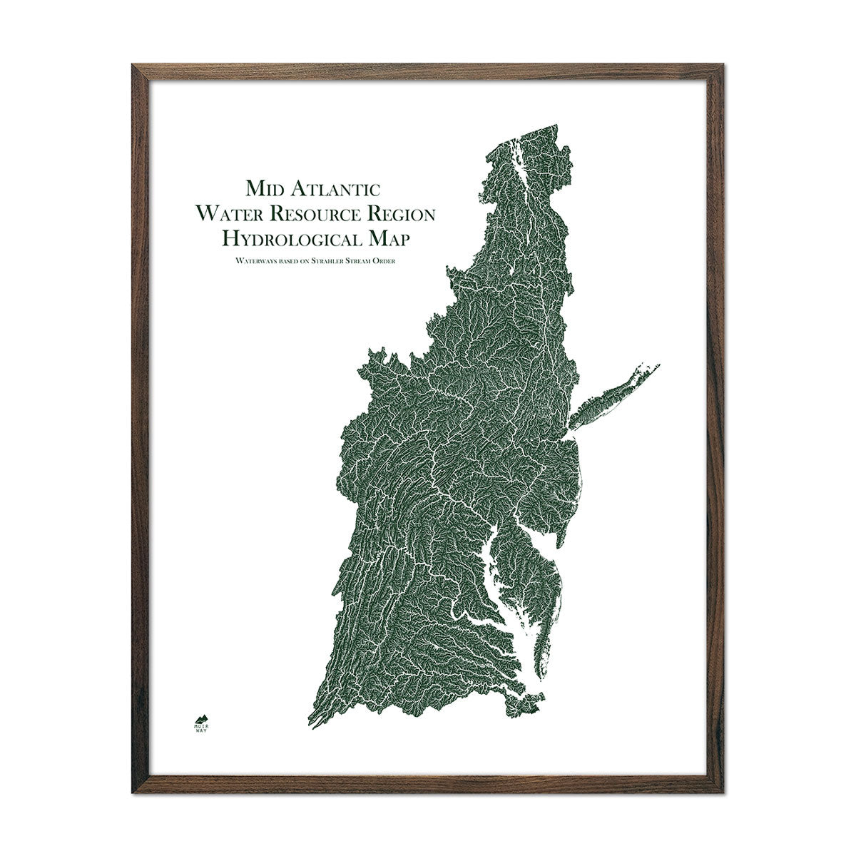
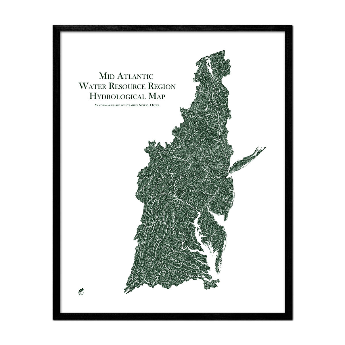
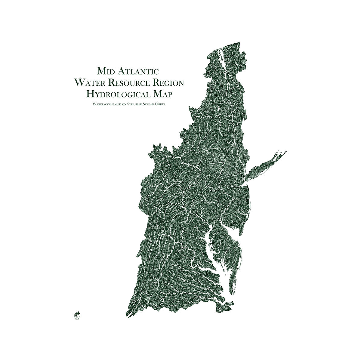
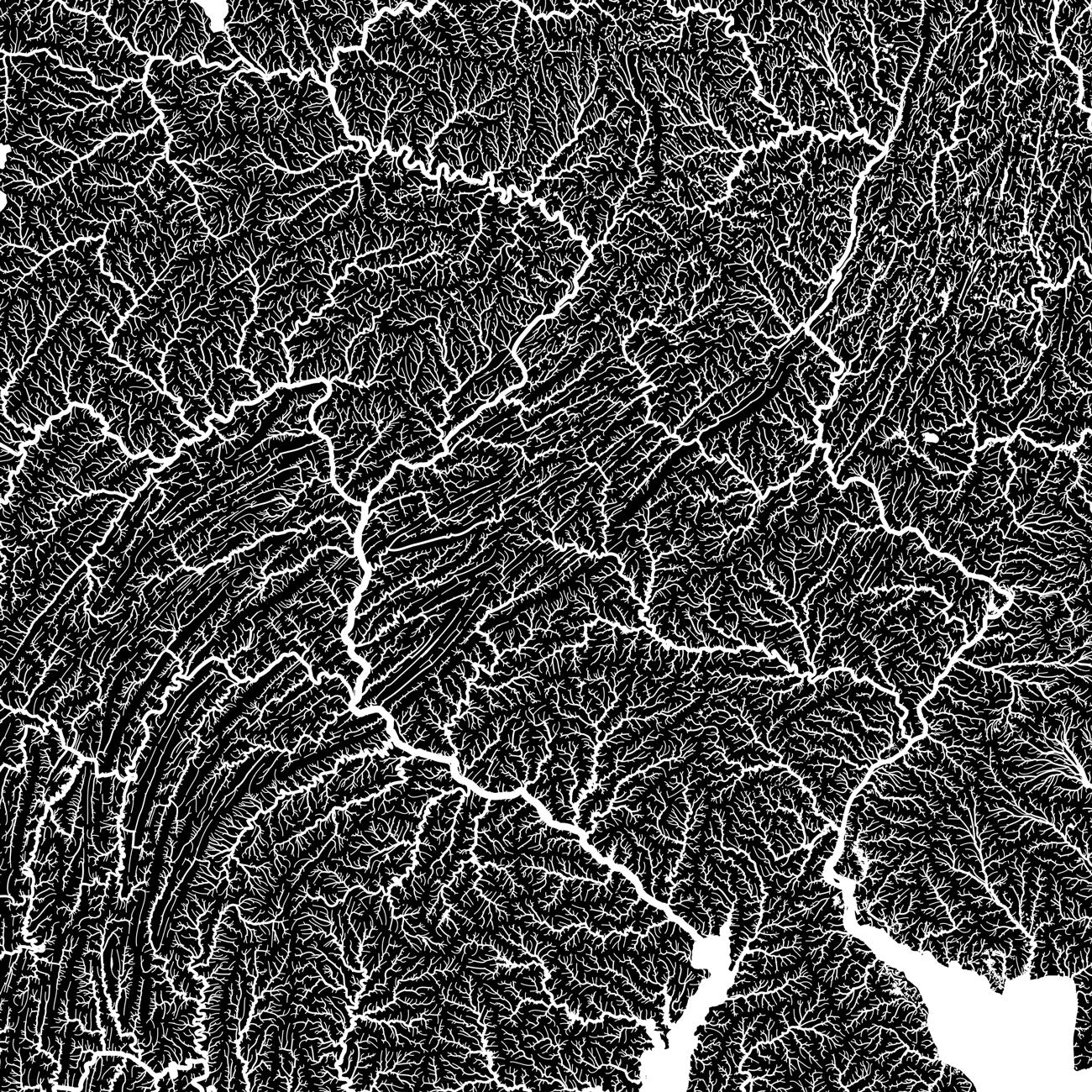
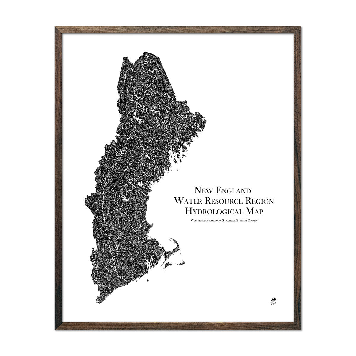
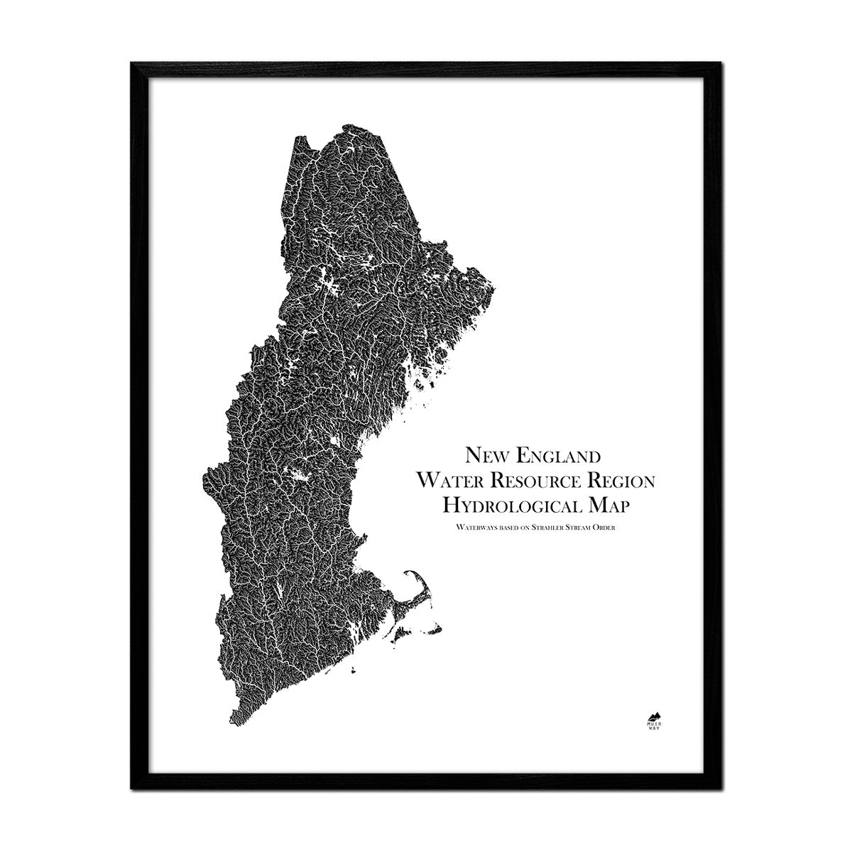
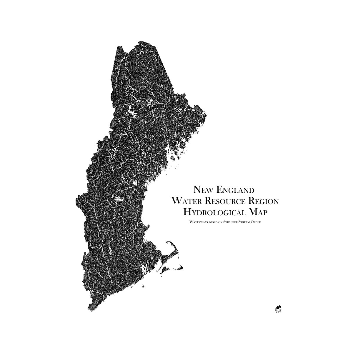
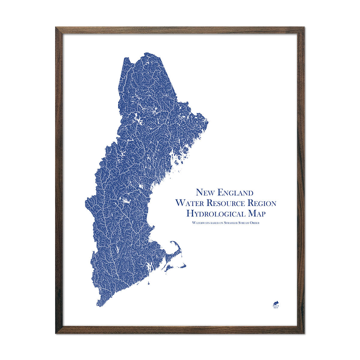
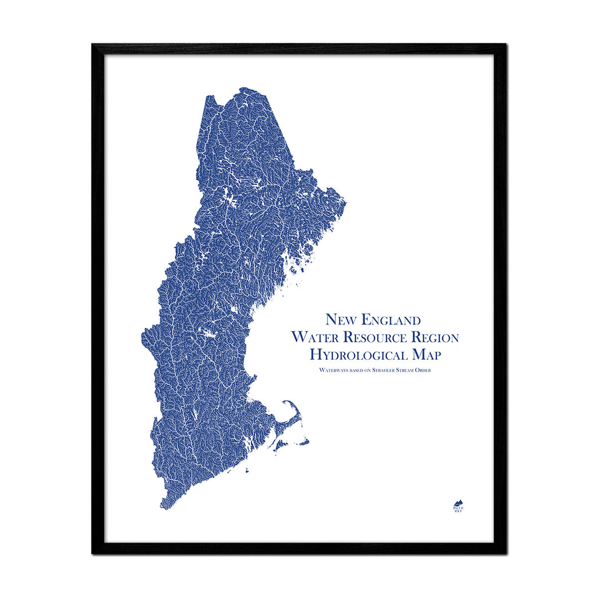
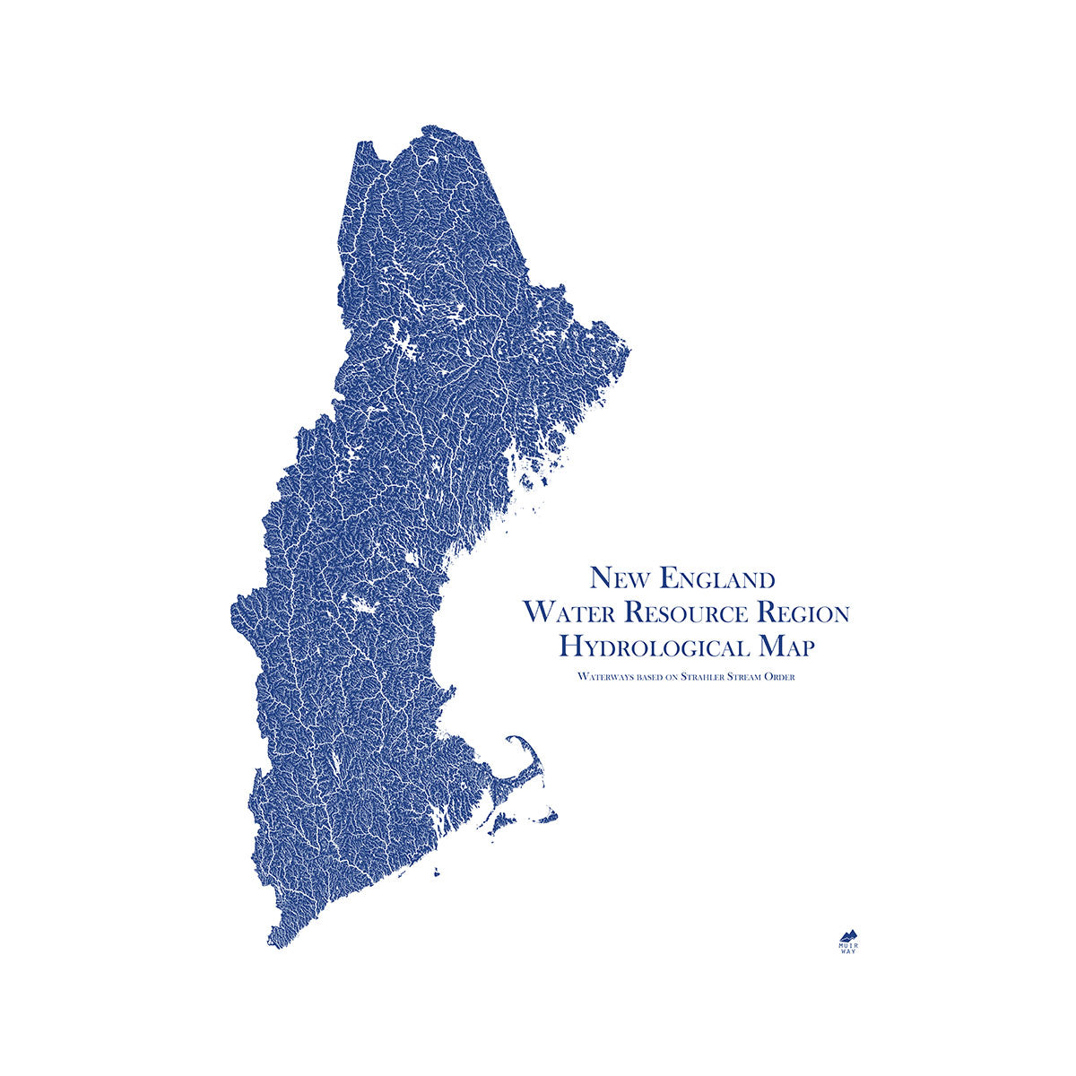
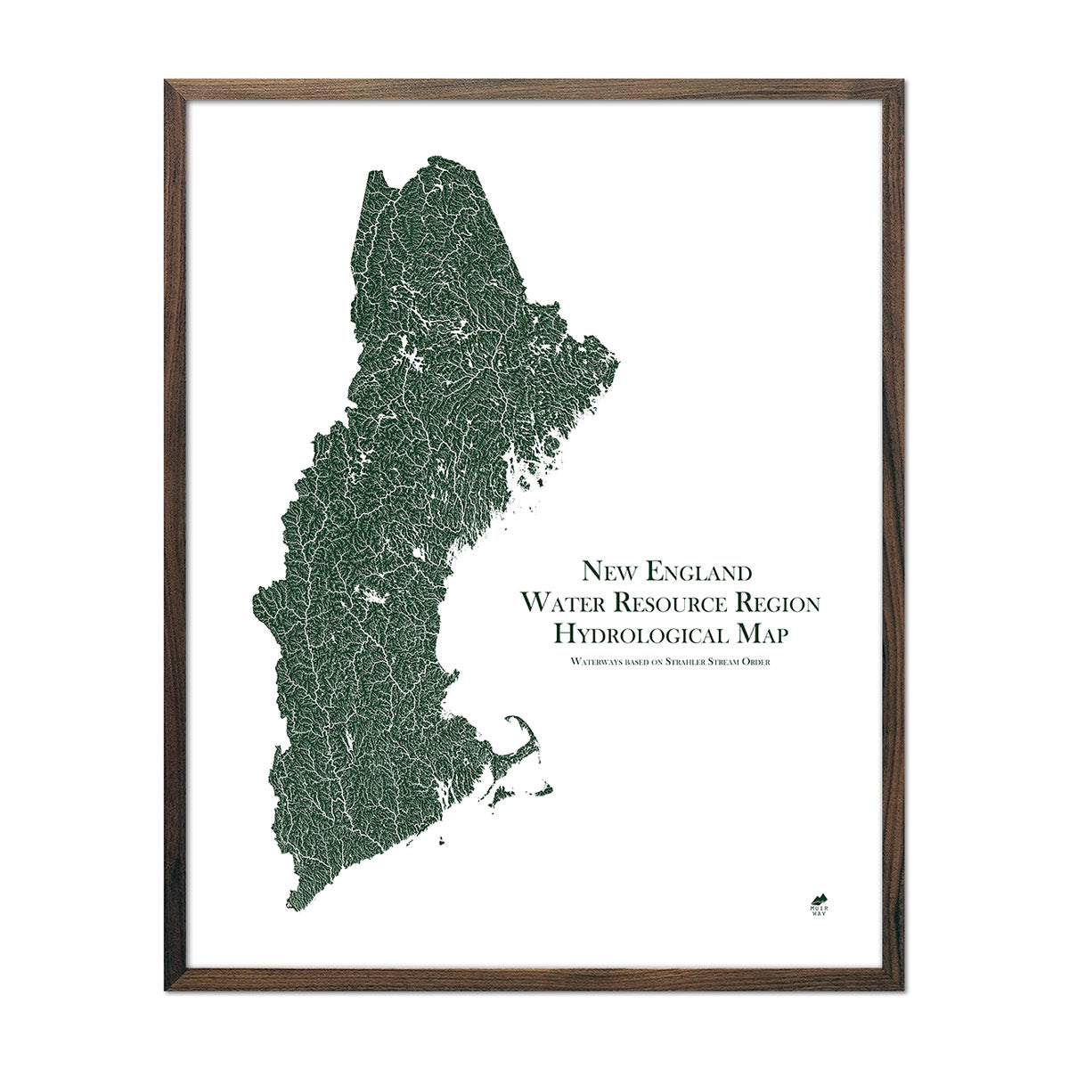
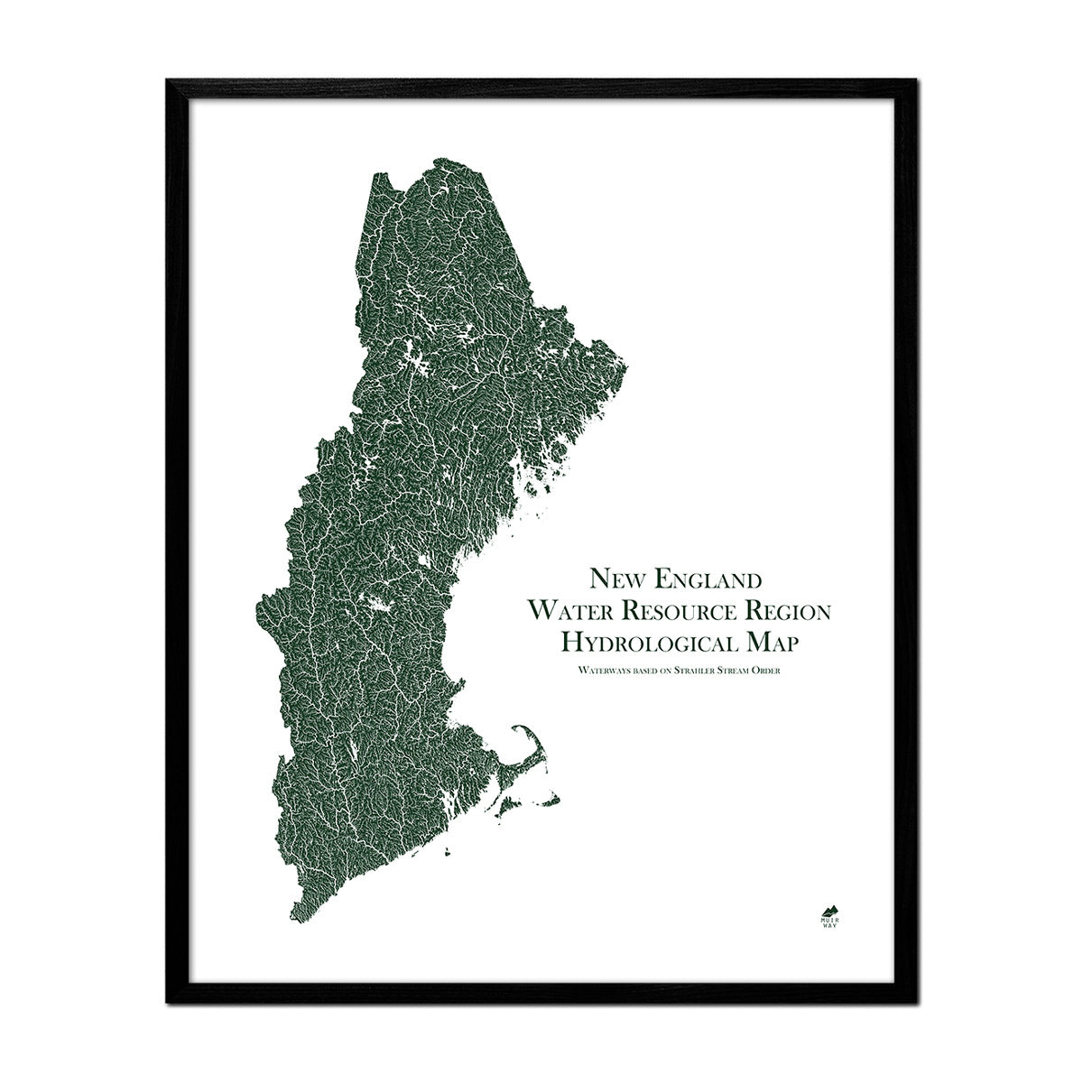
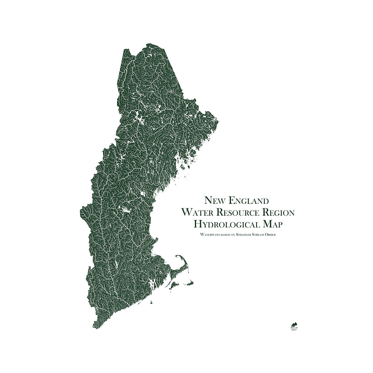
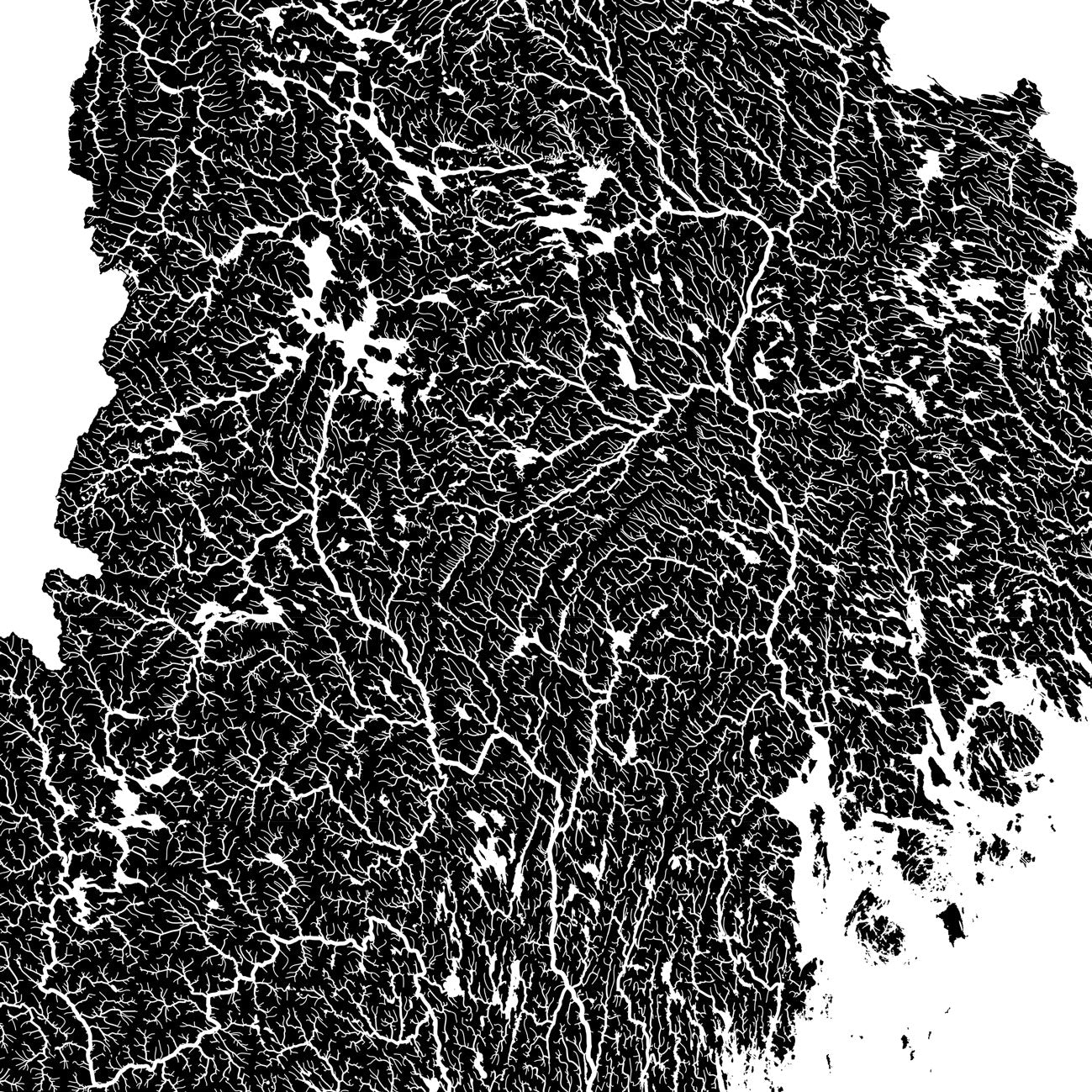
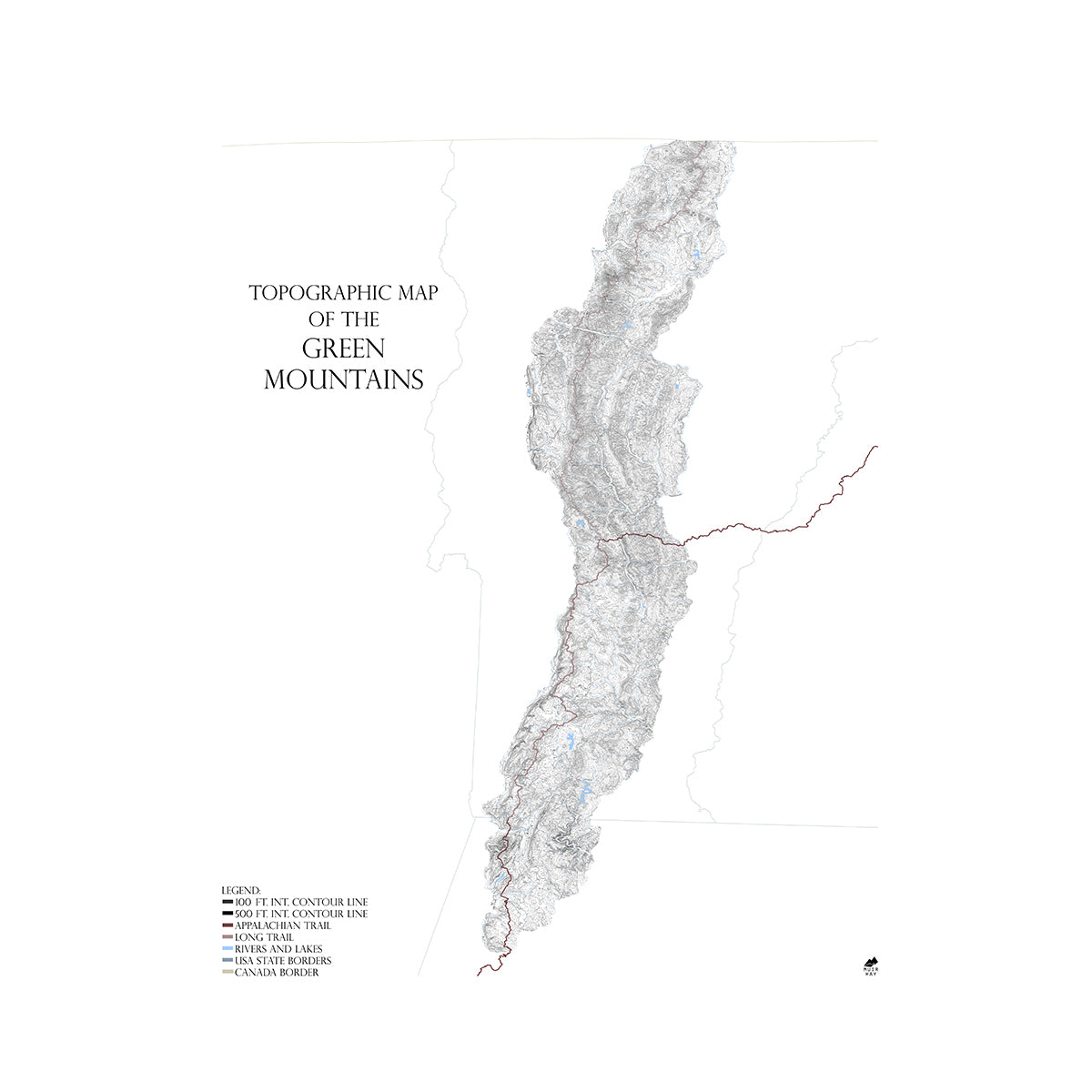
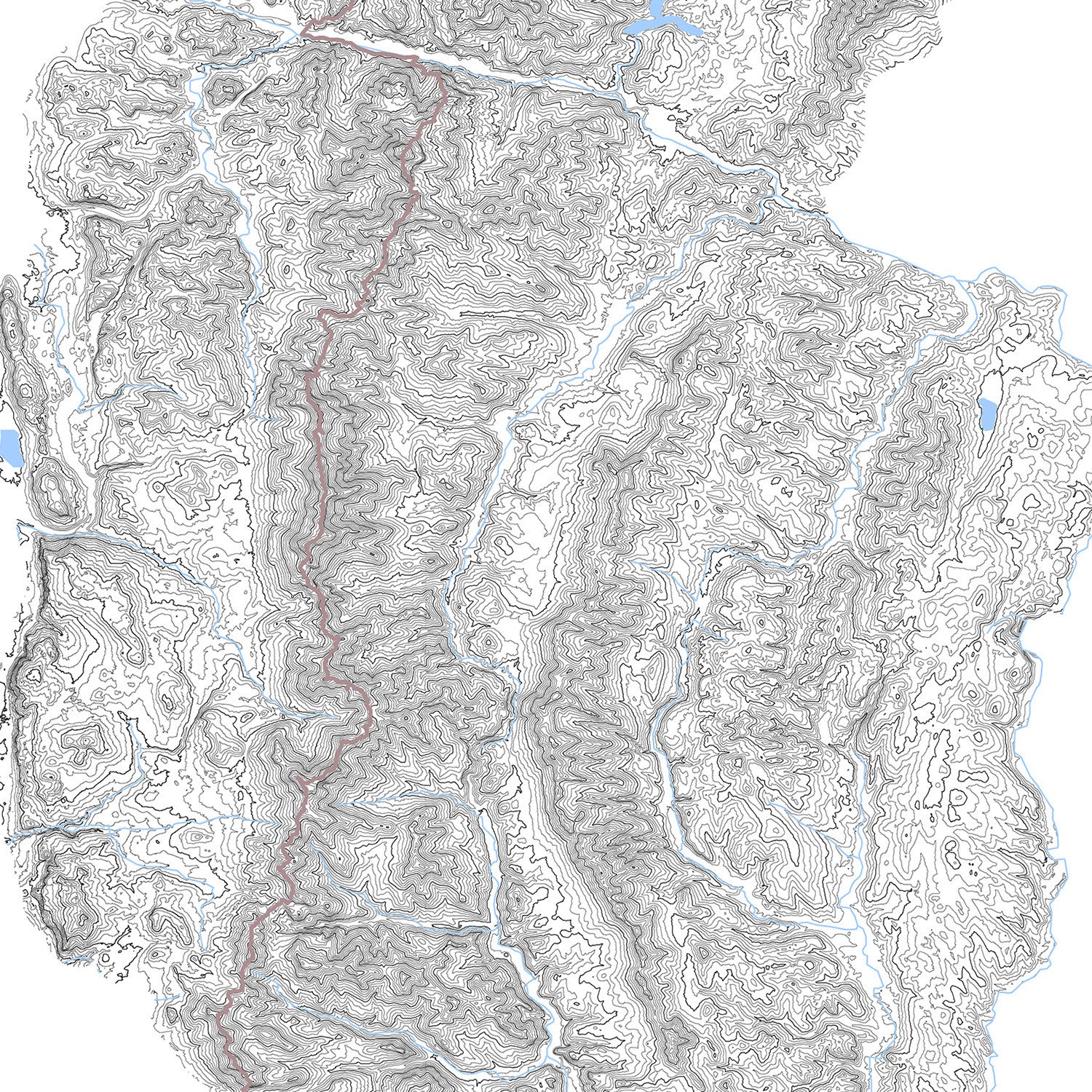
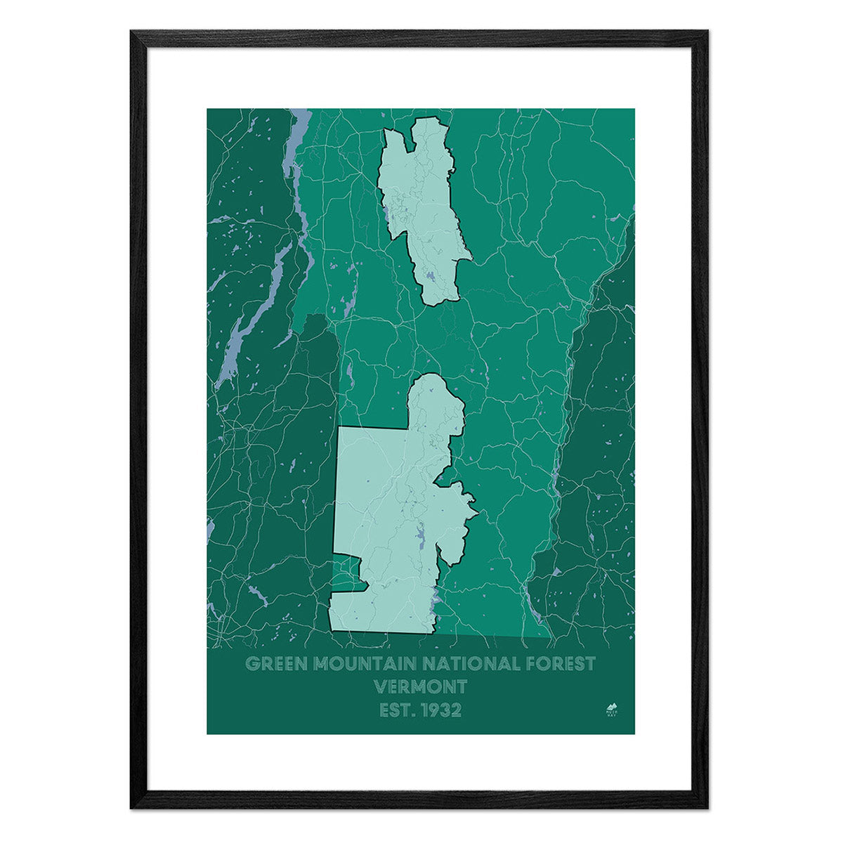
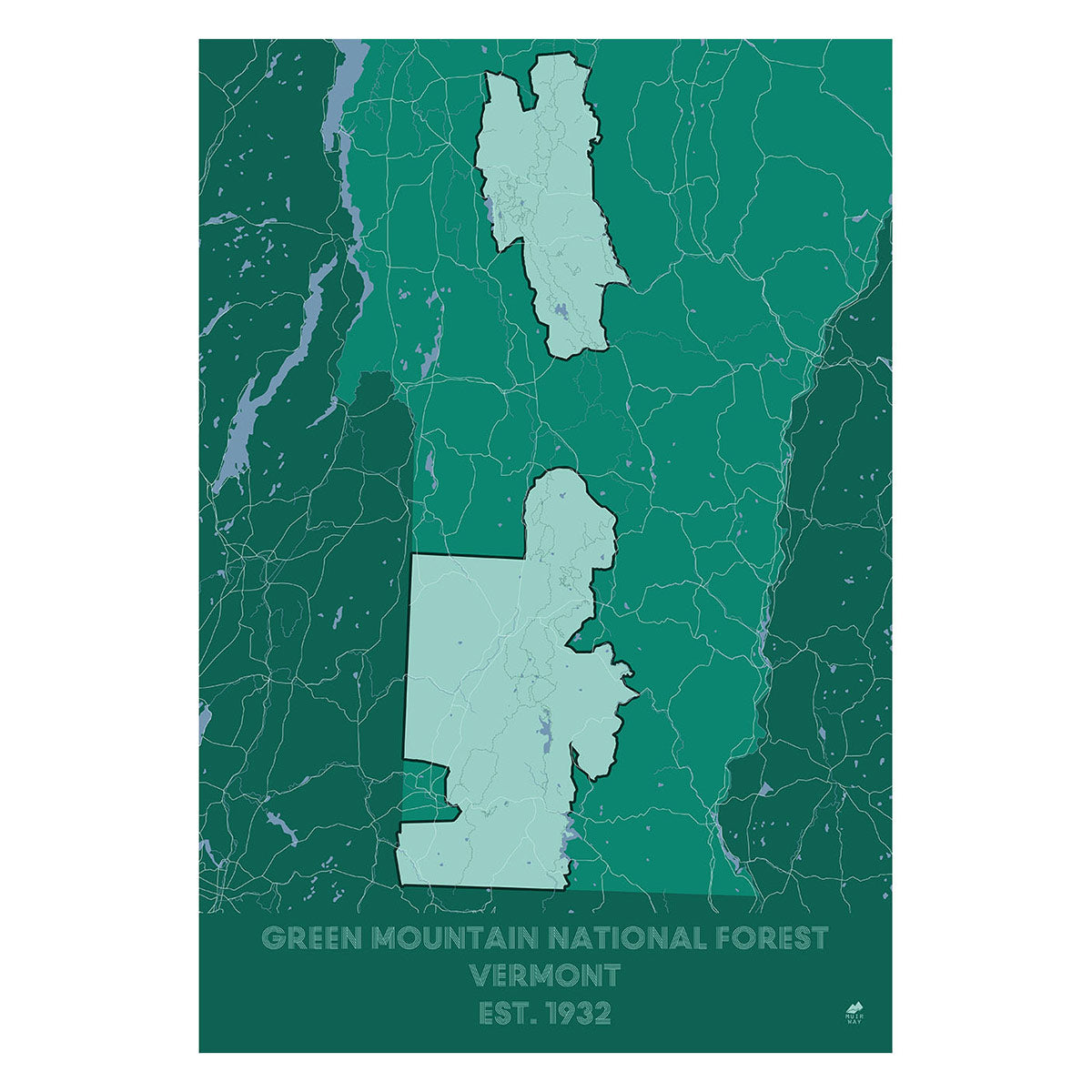
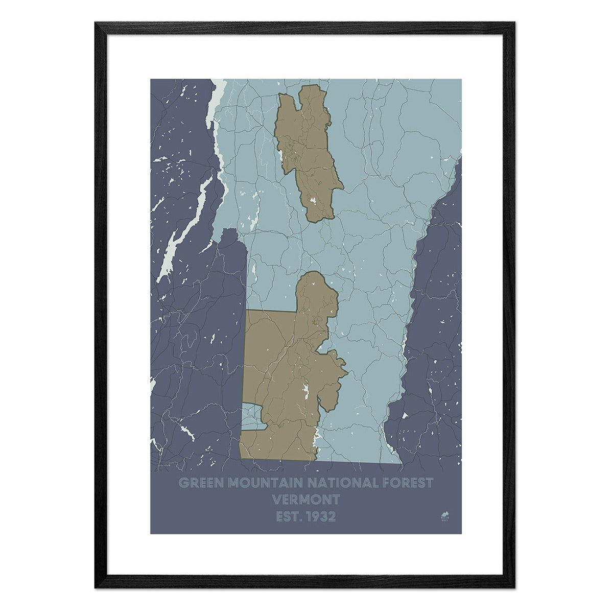
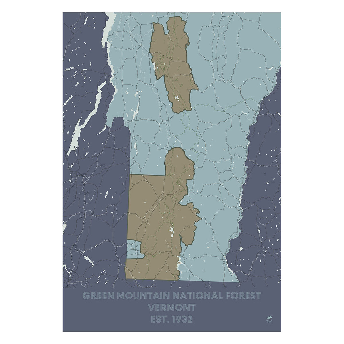
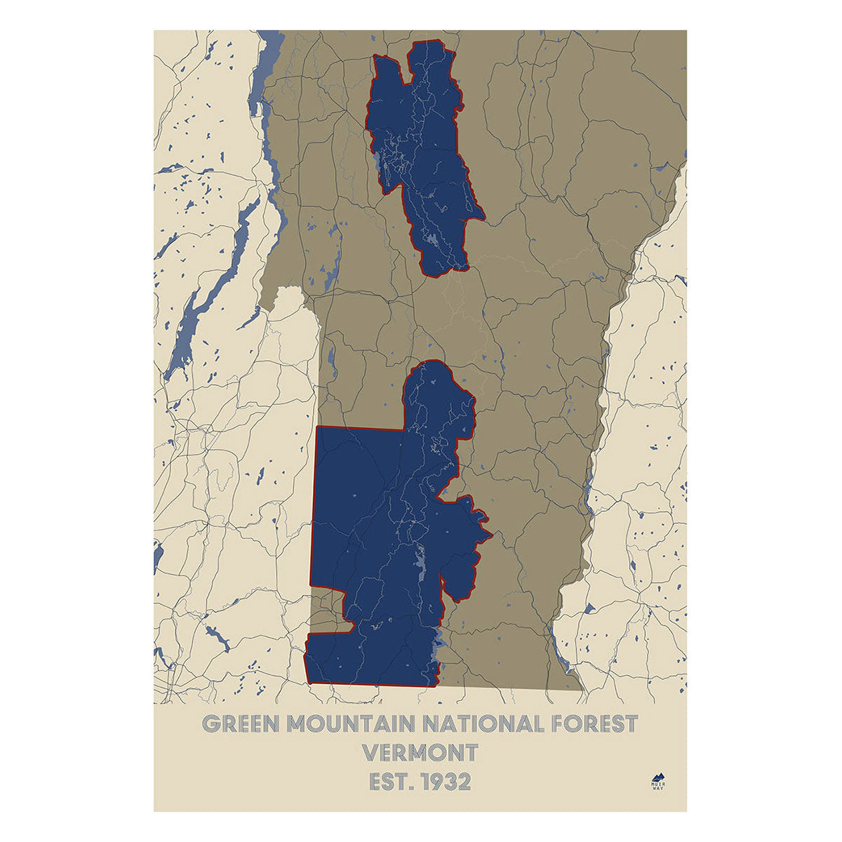
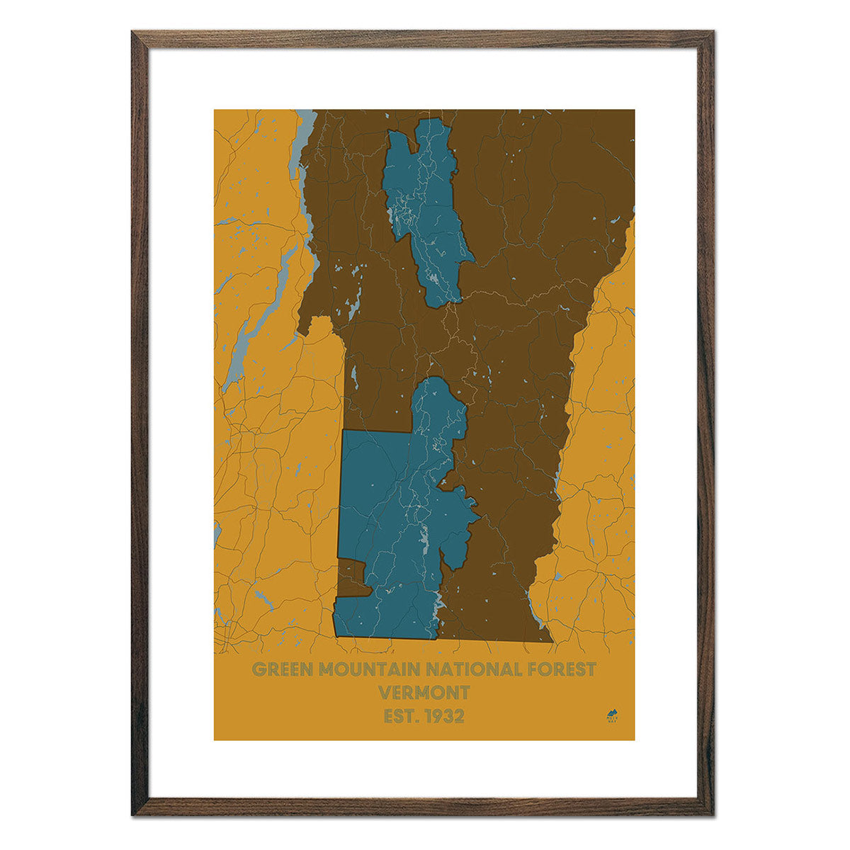
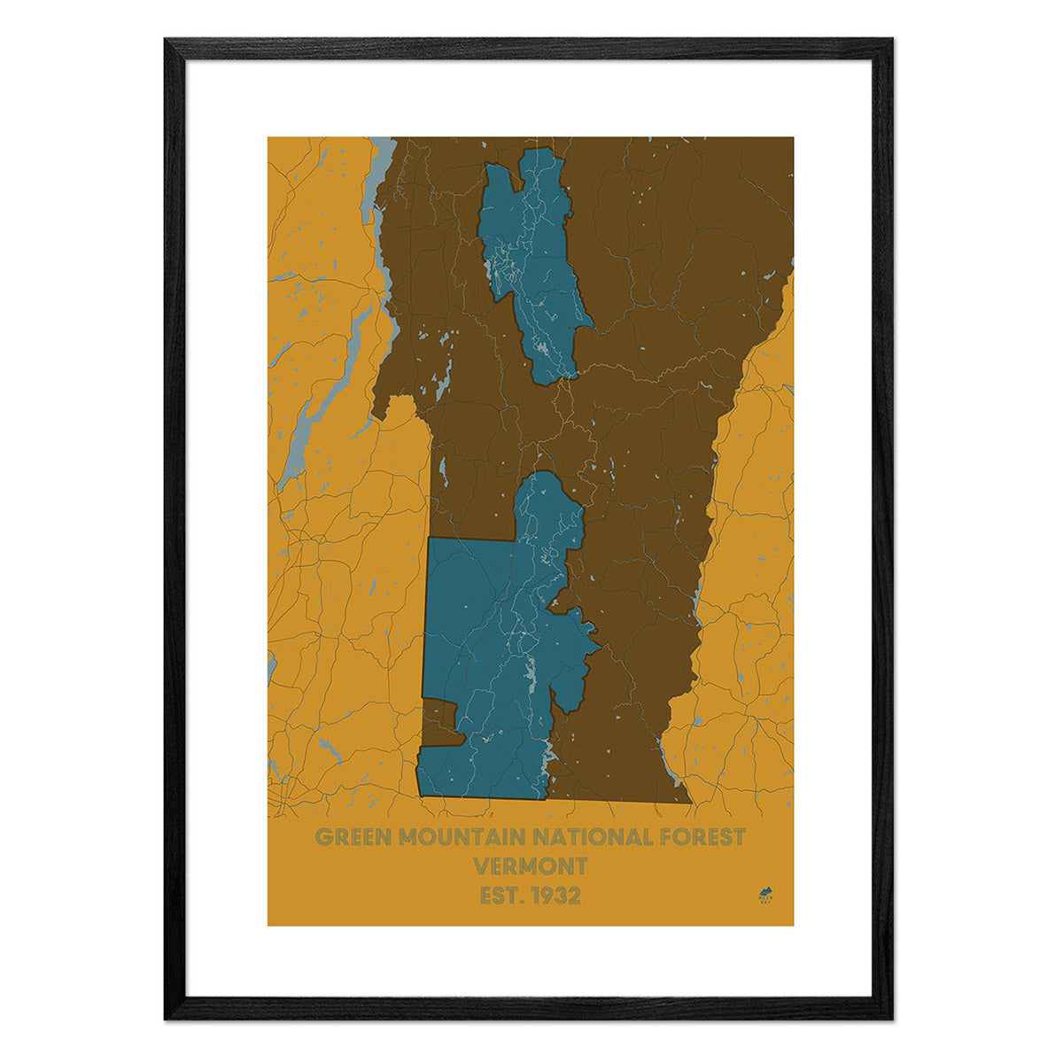
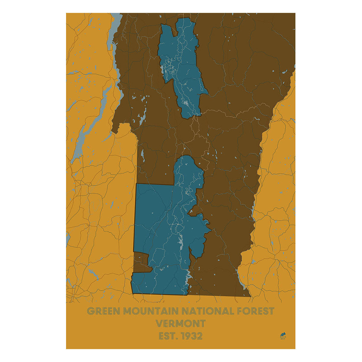
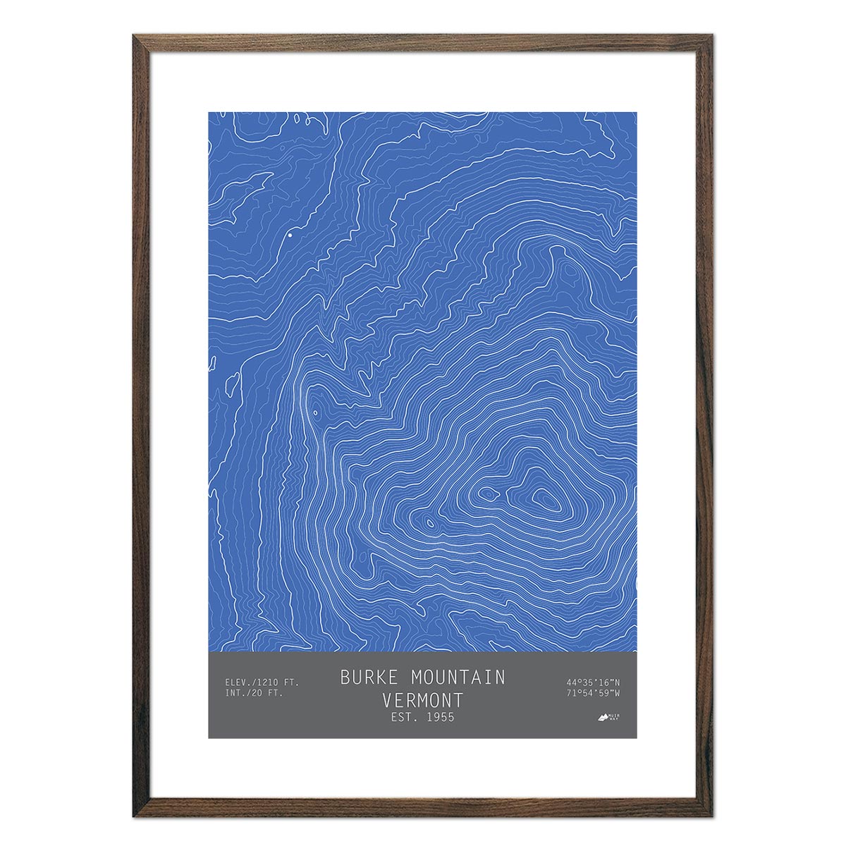
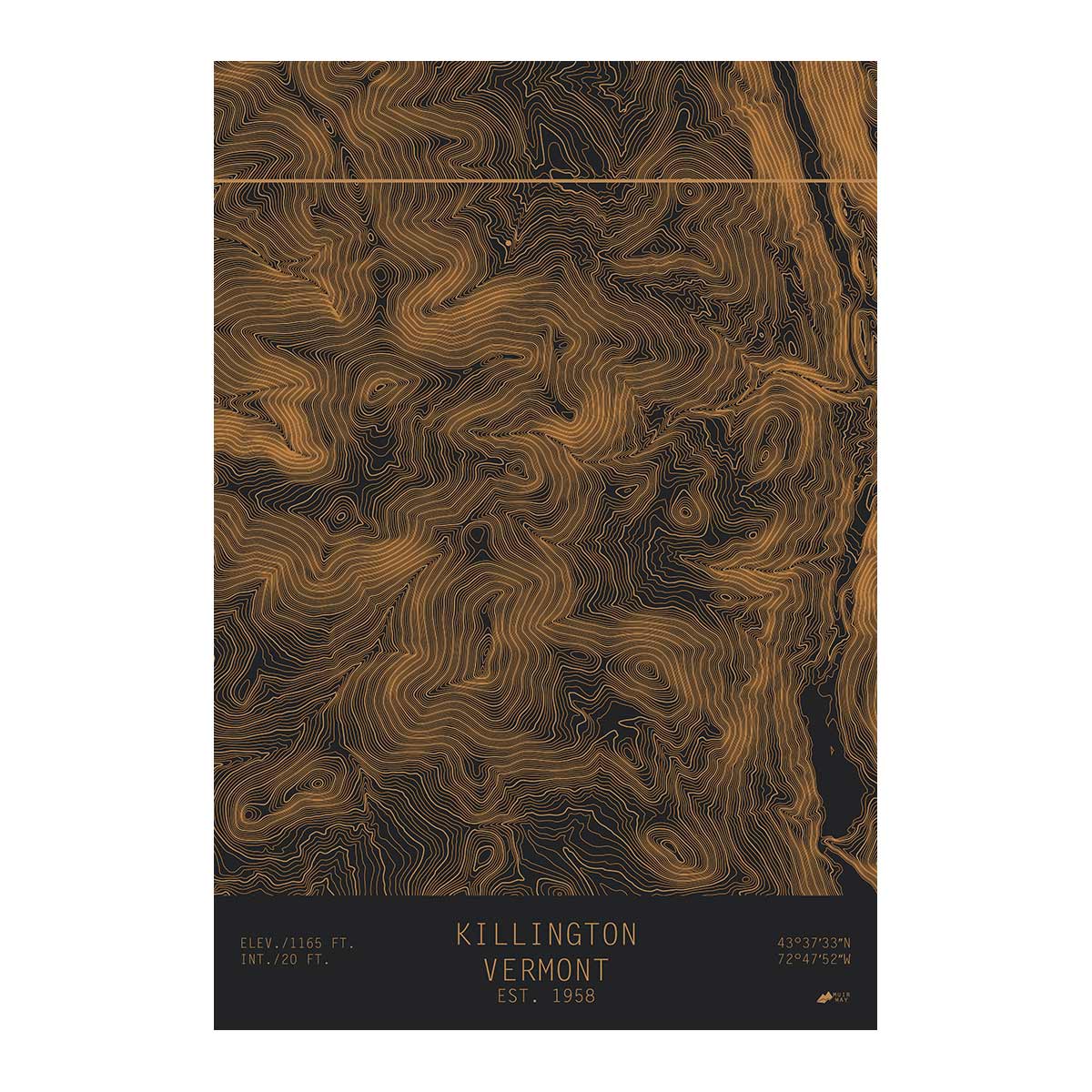
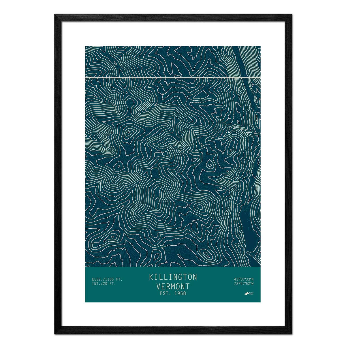
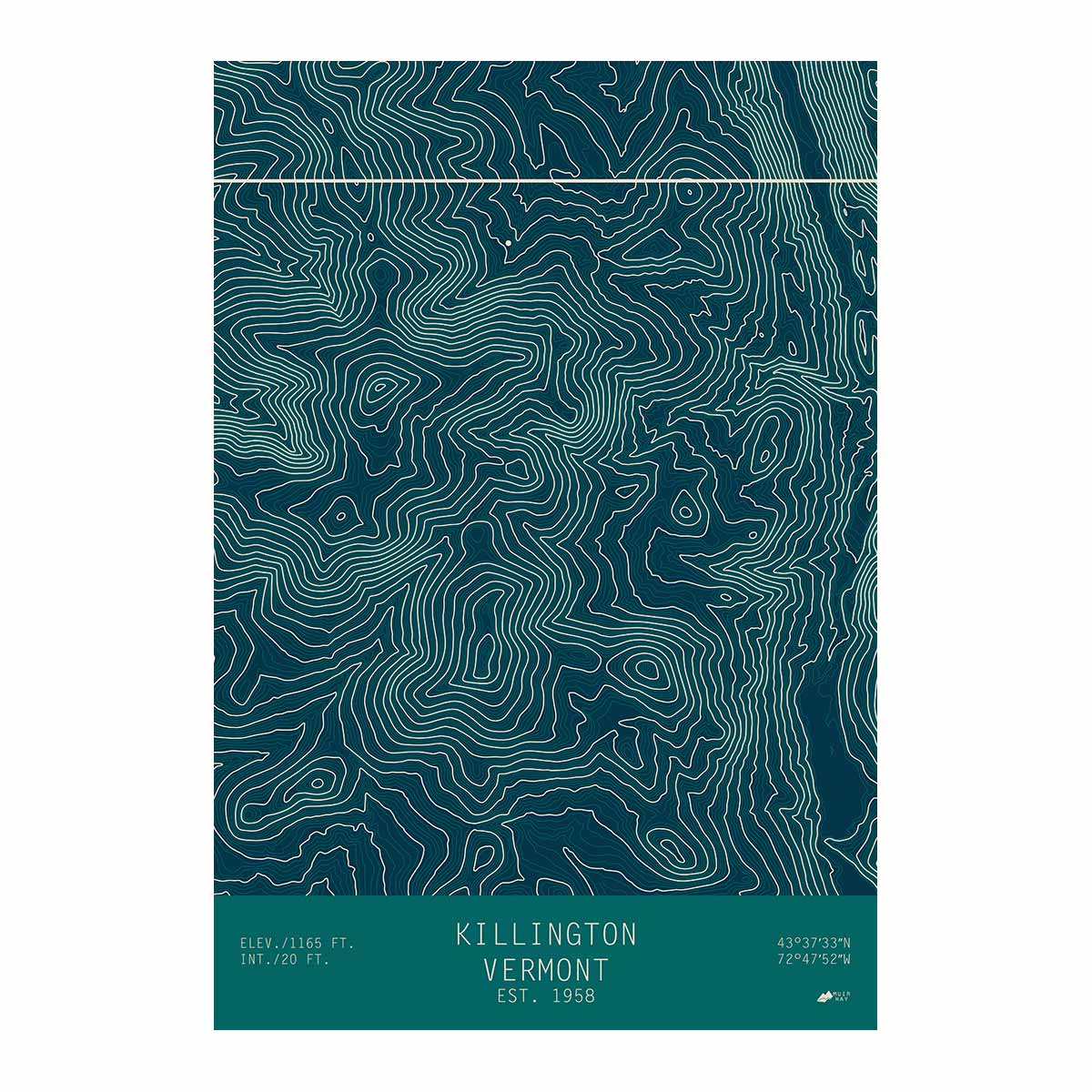
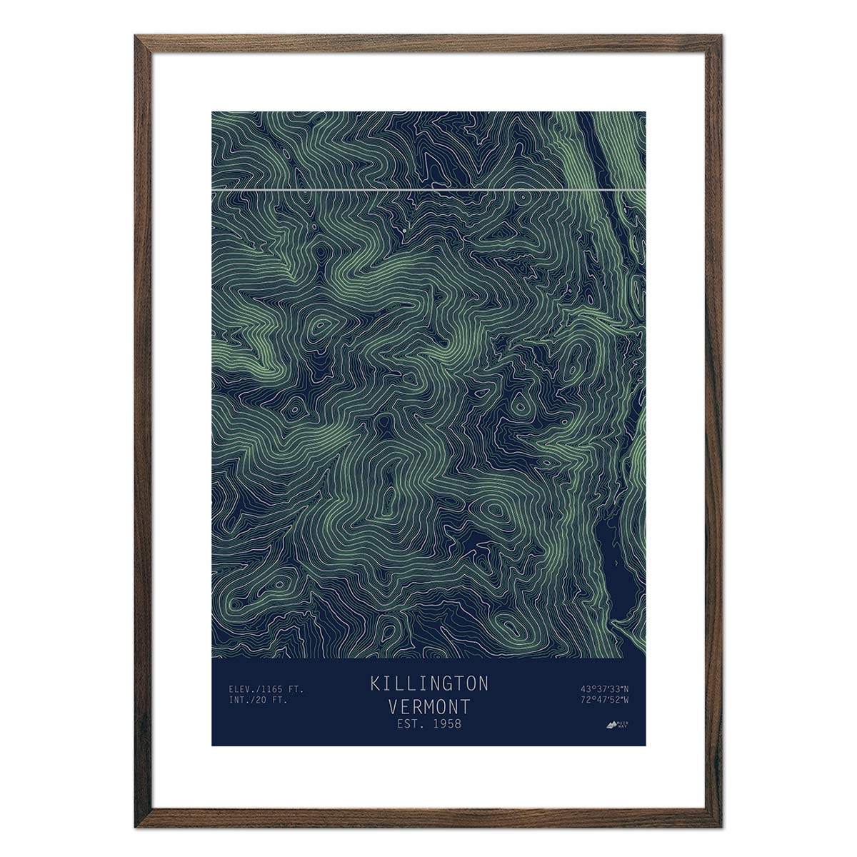
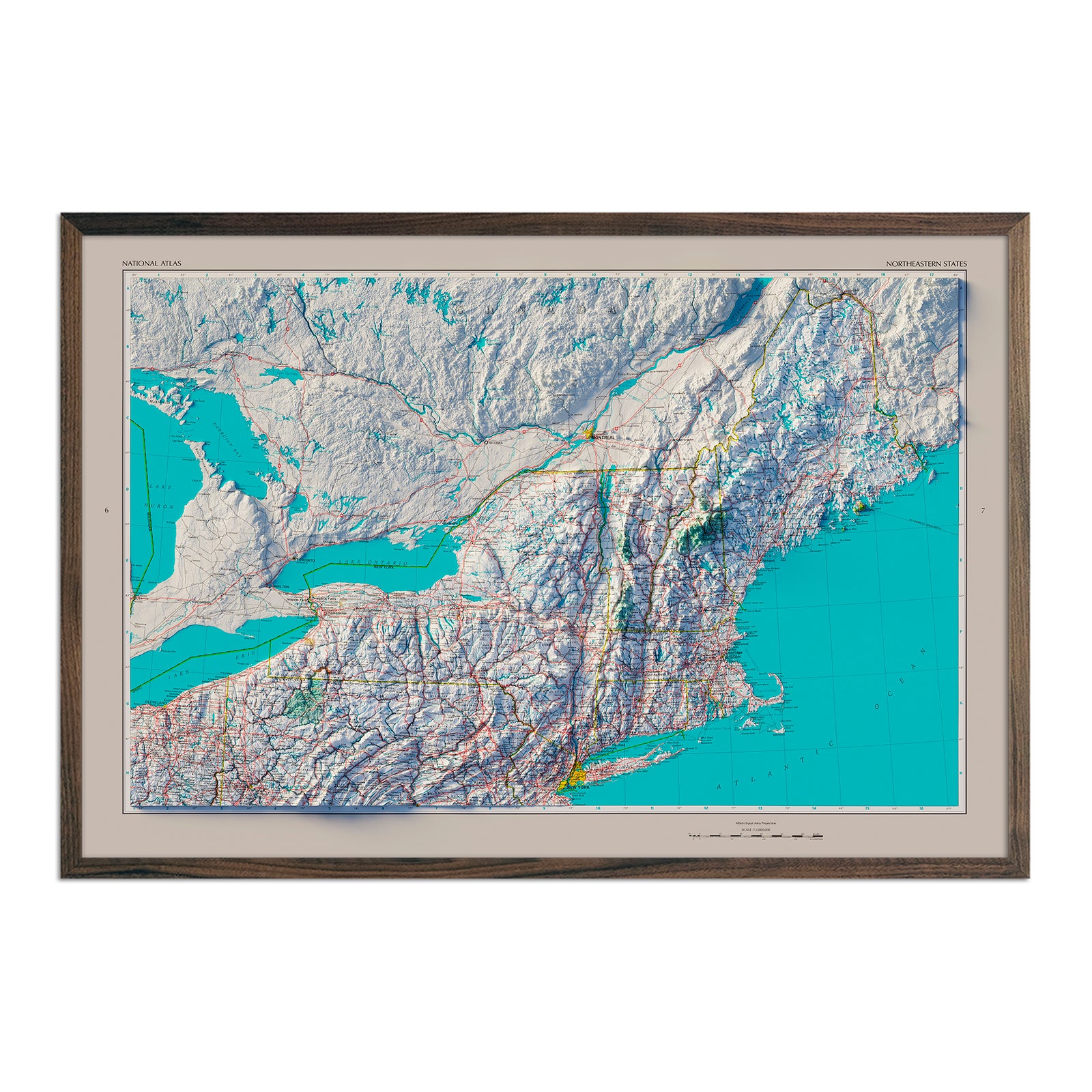
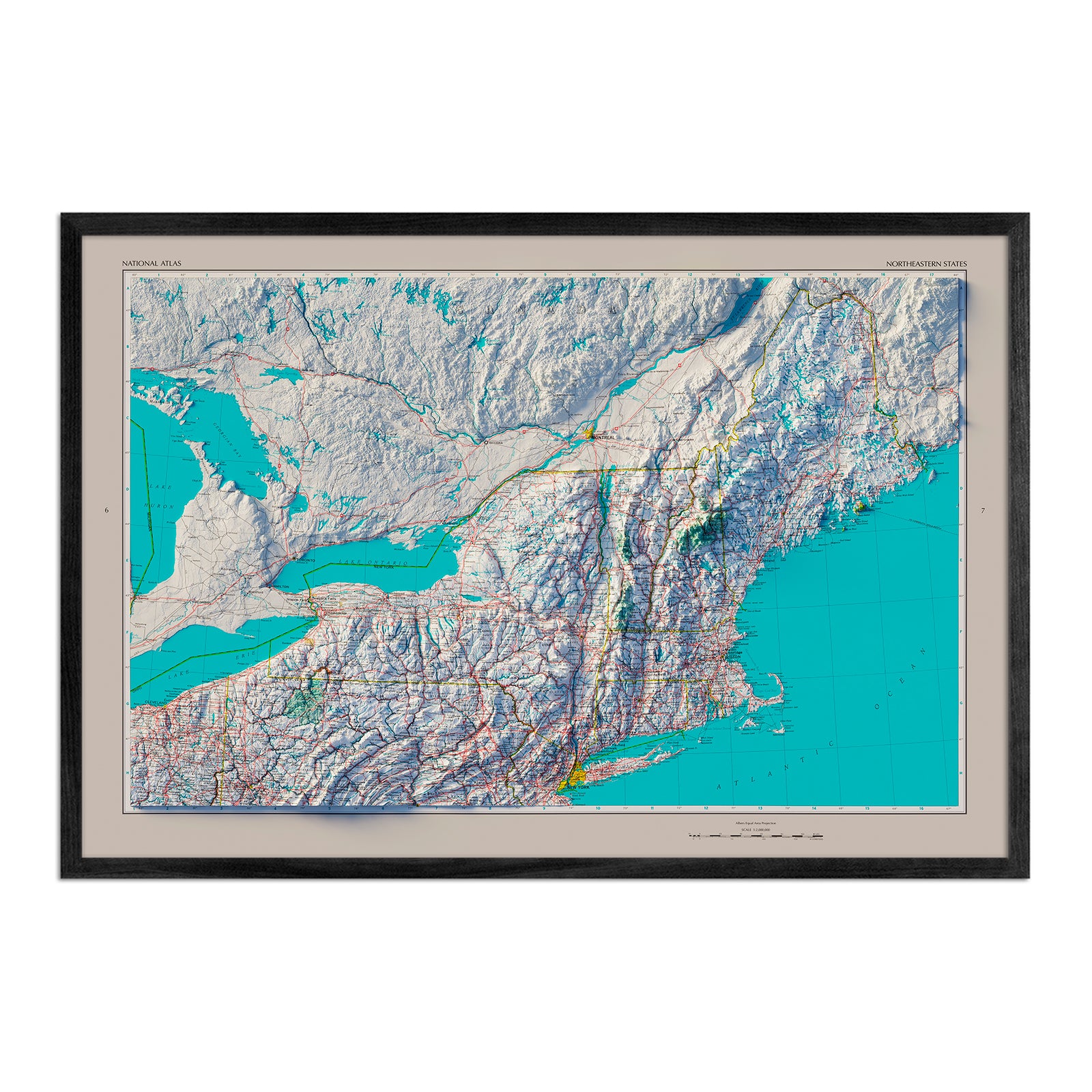
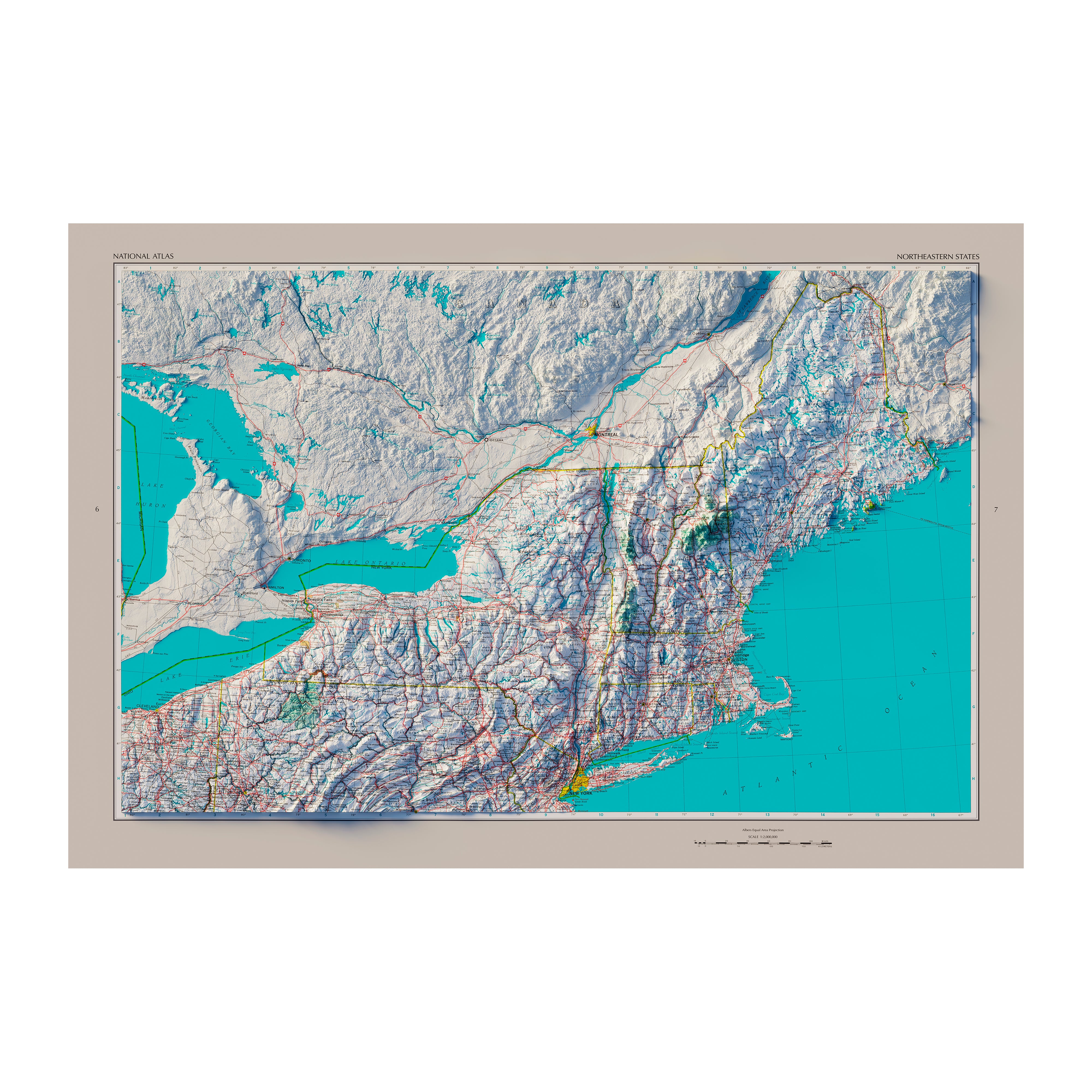
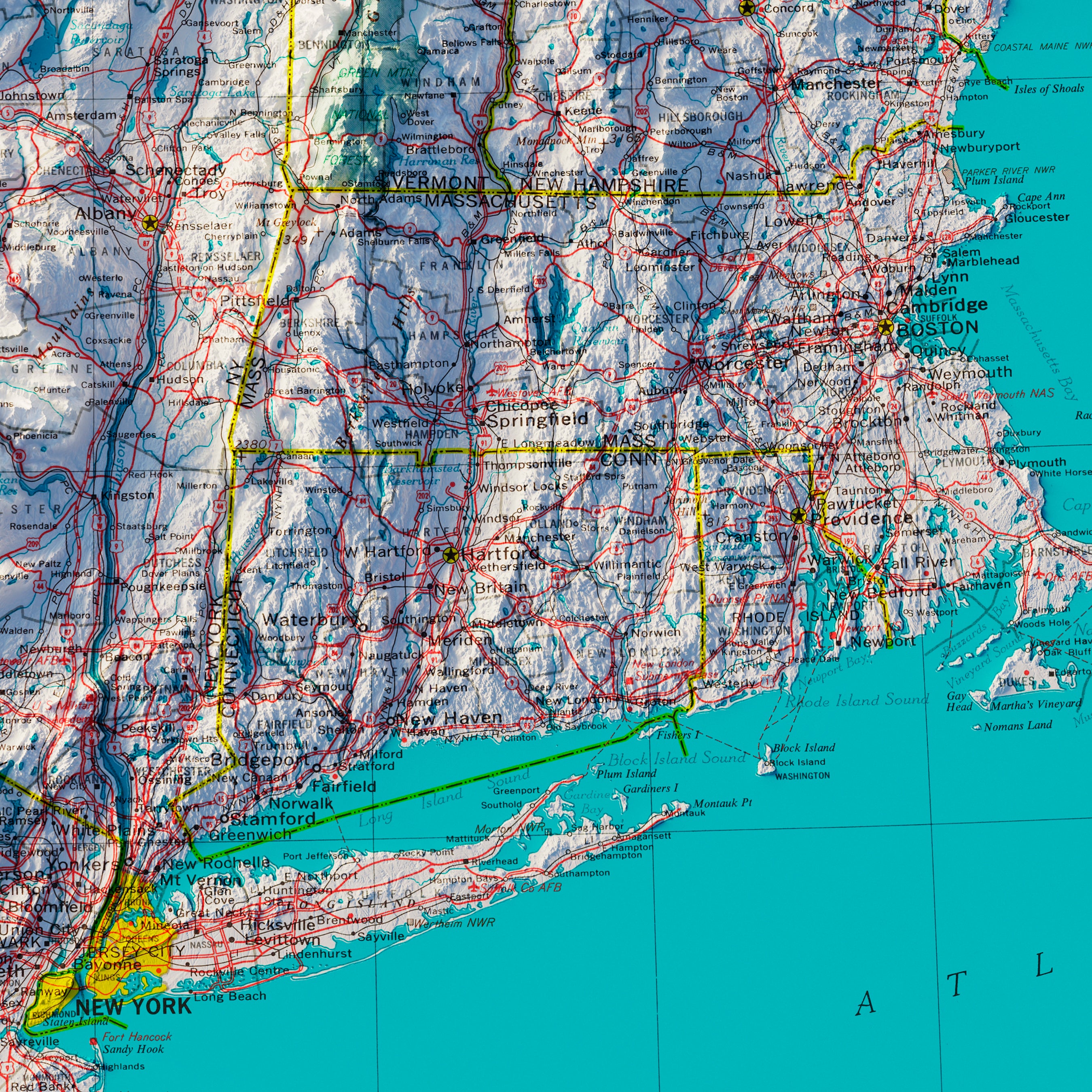
Vermont hydrological maps - Our hydrological maps showcase the intricate network of waterways, from sprawling lakes to narrow tributaries that flow into larger rivers. Trace Vermont’s waterways on our Vermont hydrological map and you’ll see every body of water greater than 0.2 mi in diameter. What makes our hydrological maps unique? We apply a method called the Strahler Stream Order to show the hierarchy of streams as they flow from their source, with rivers shown thicker as they acquire the flow of tributaries. Map available in black, blue, or green. Want to see the ‘big picture’? See our New England regional hydrological map for watersheds across New England including Vermont, or the Mid Atlantic regional hydrological map.
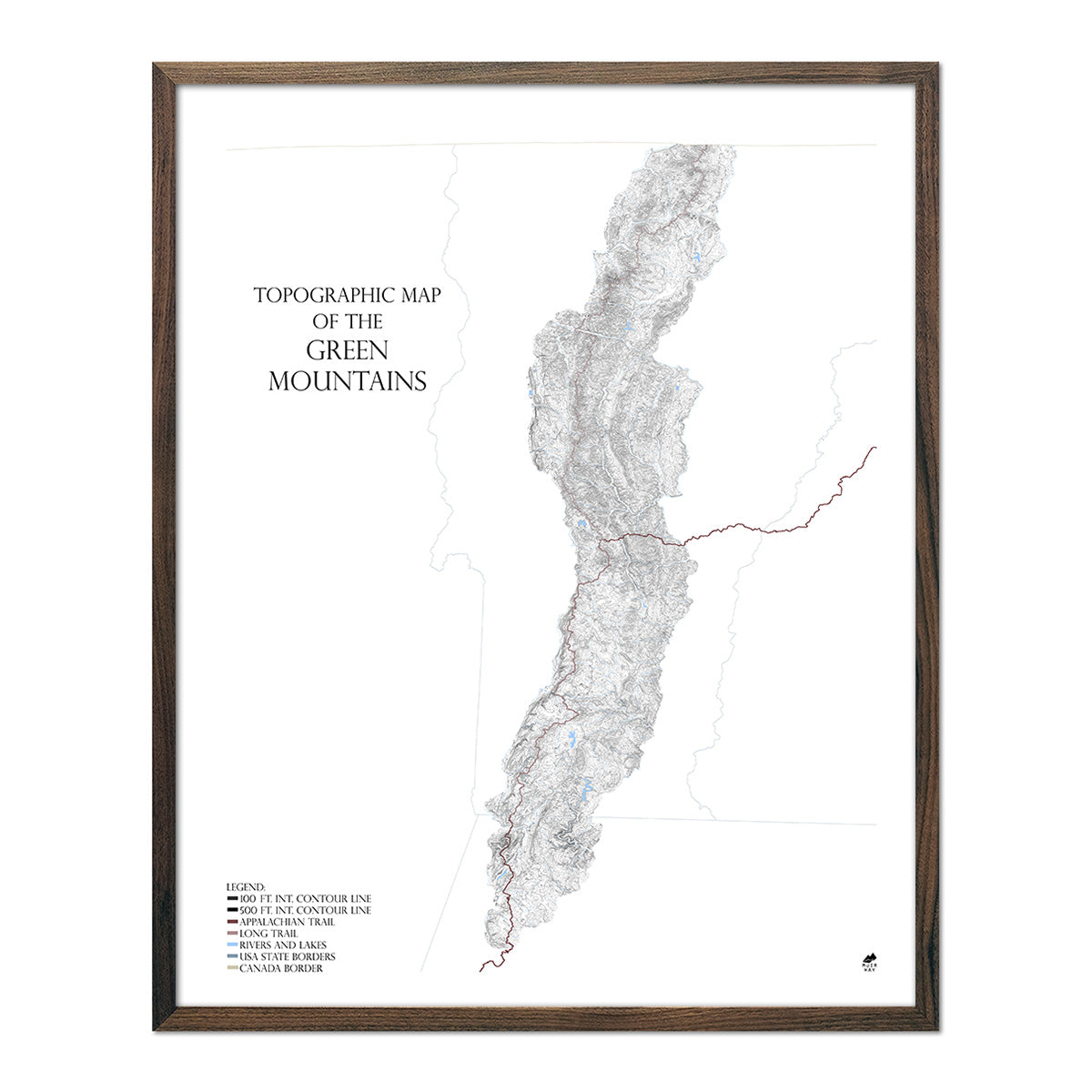
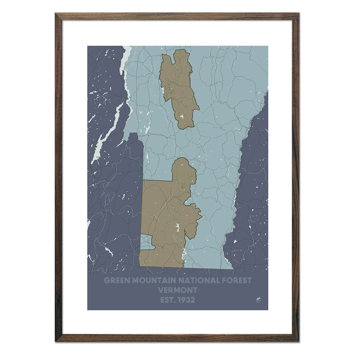
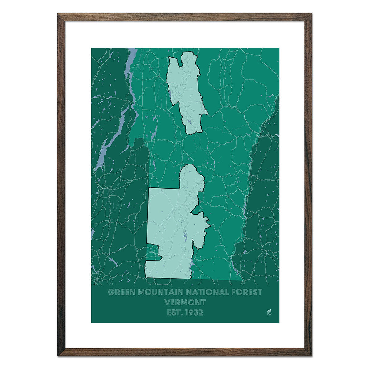
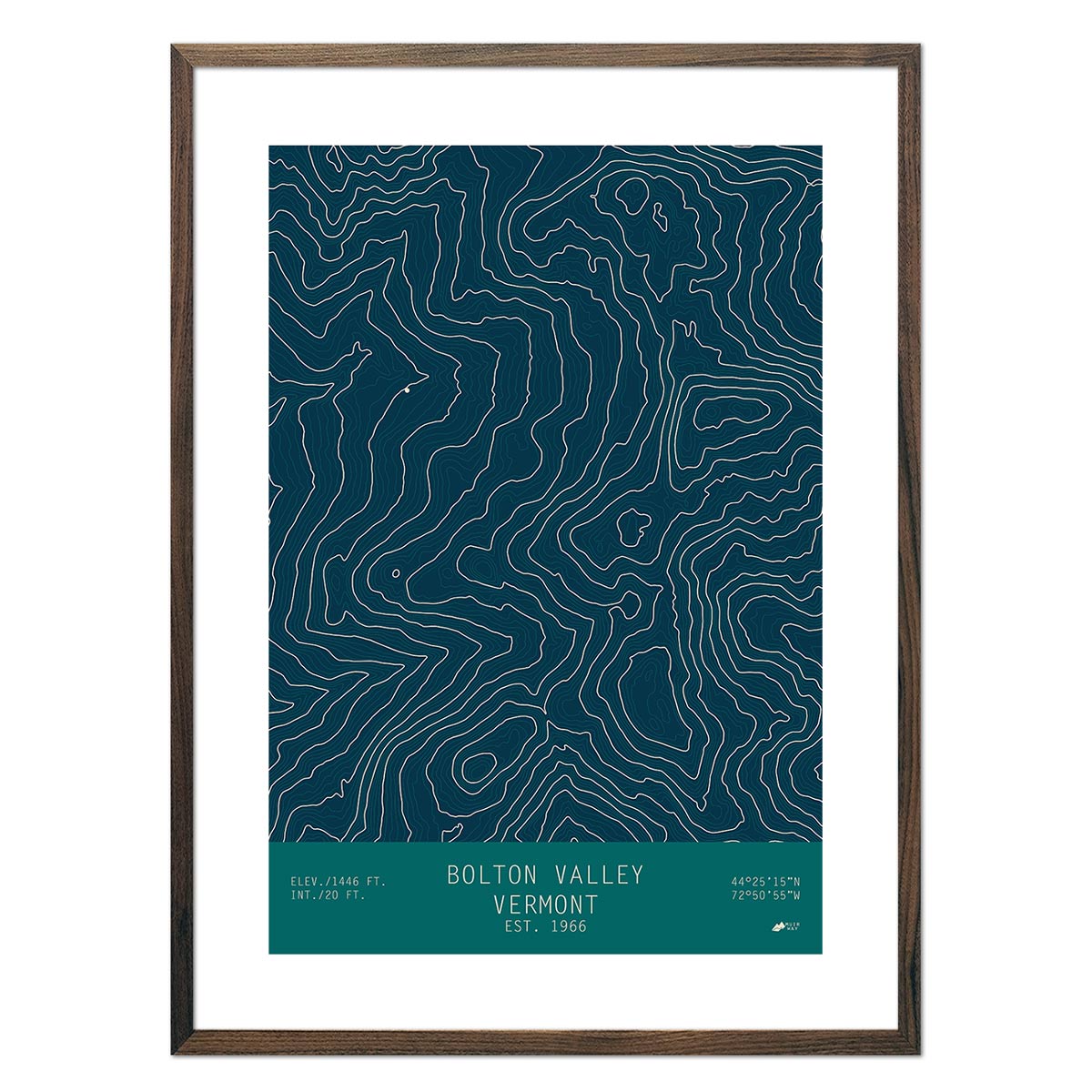
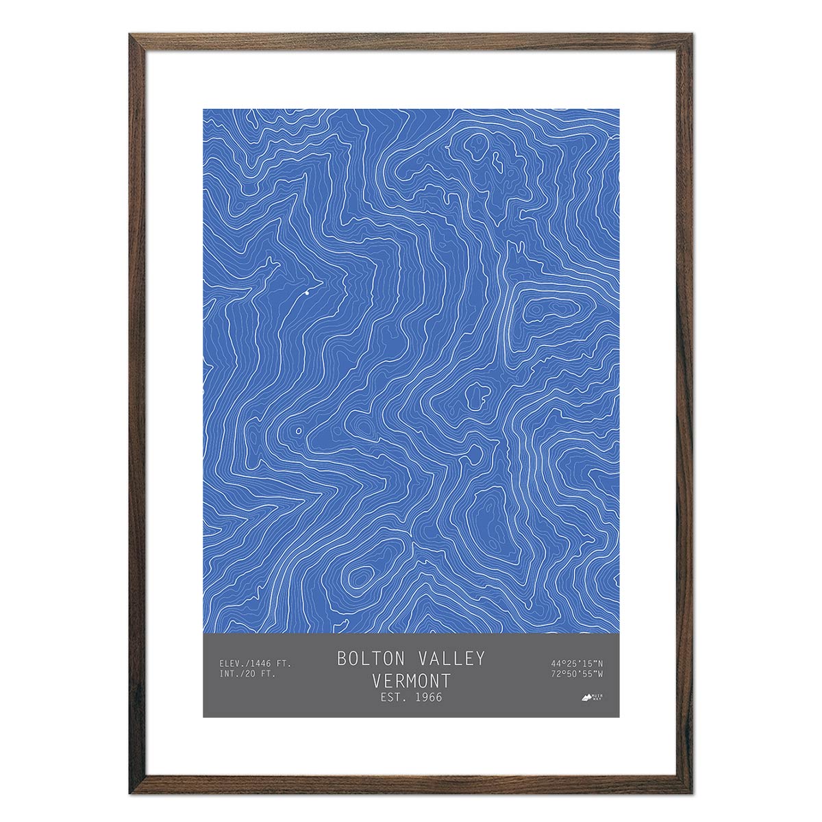
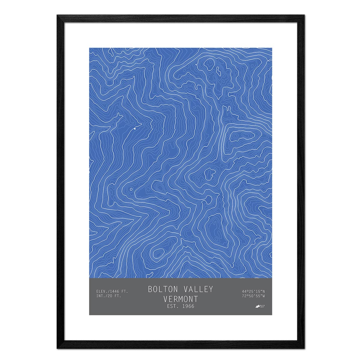
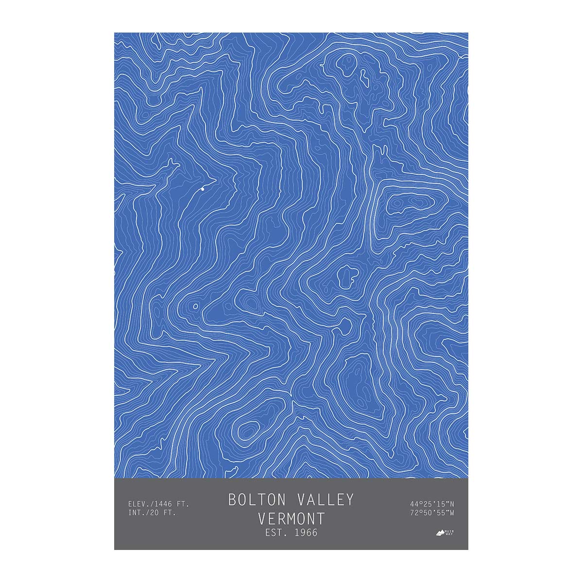
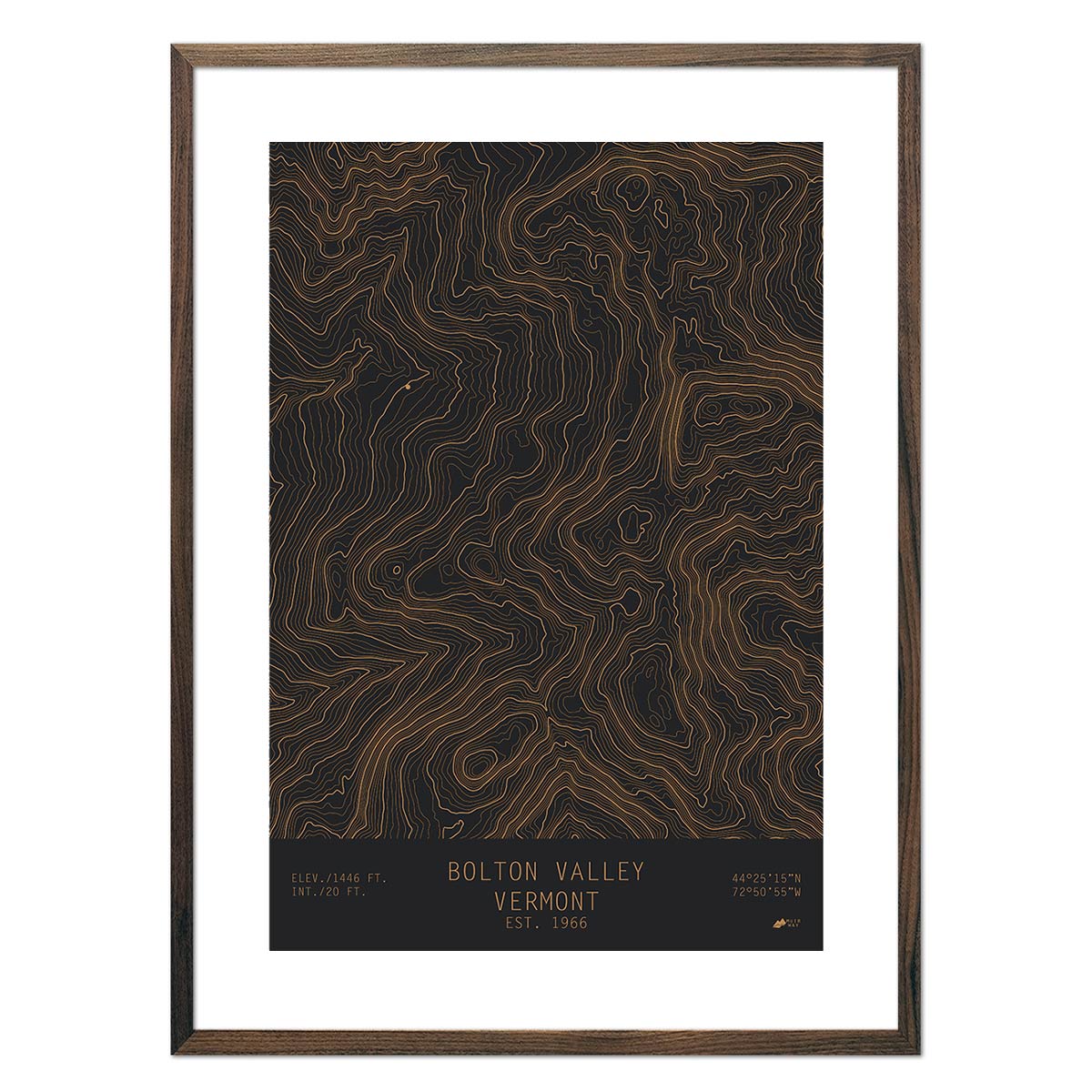
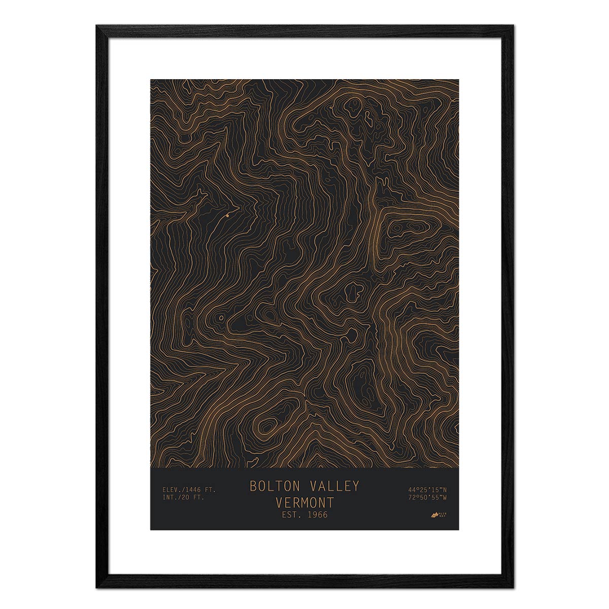
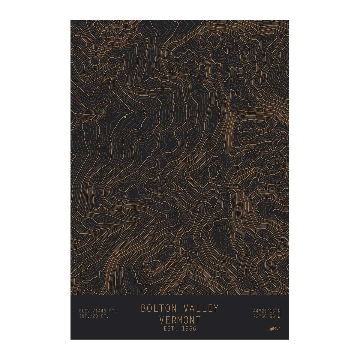
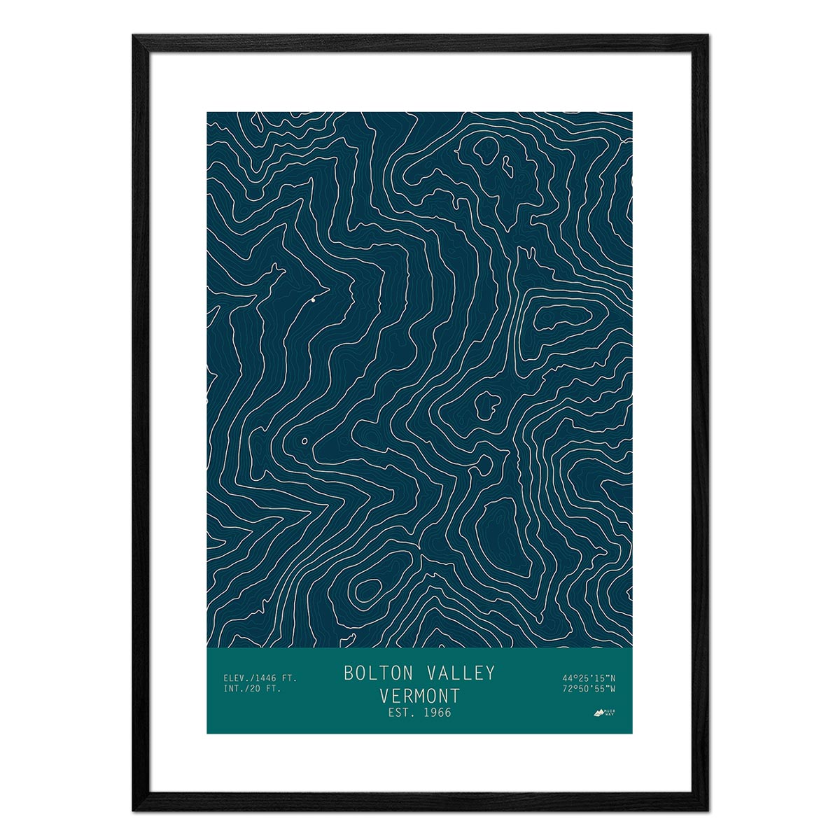
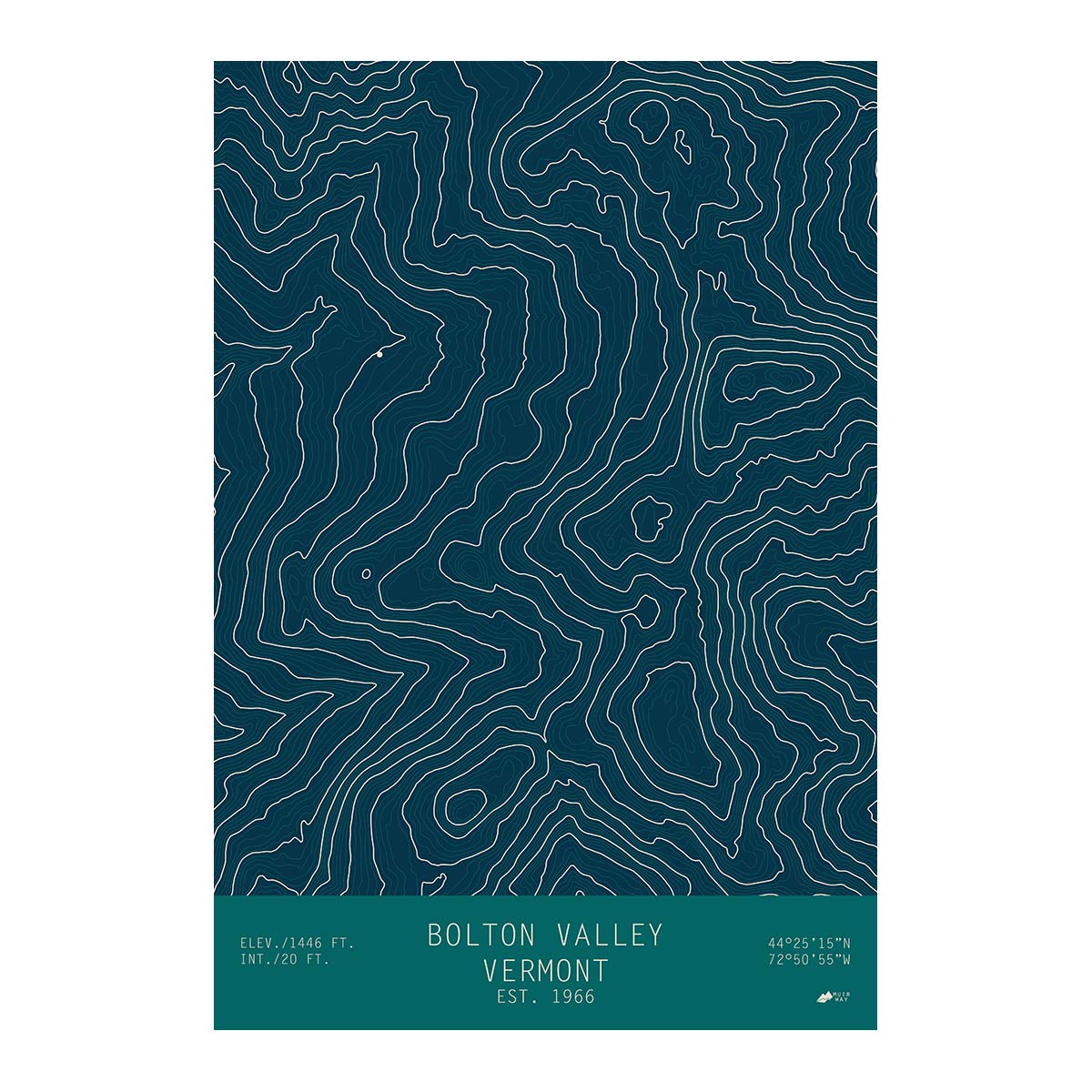
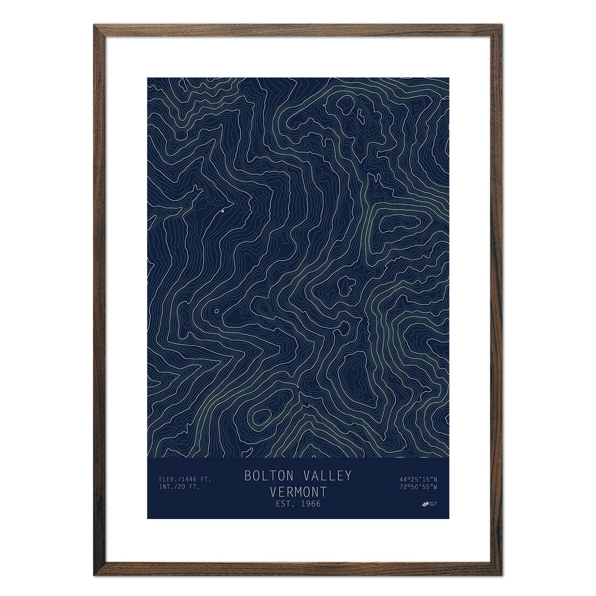
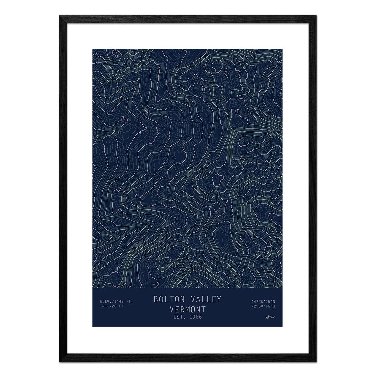
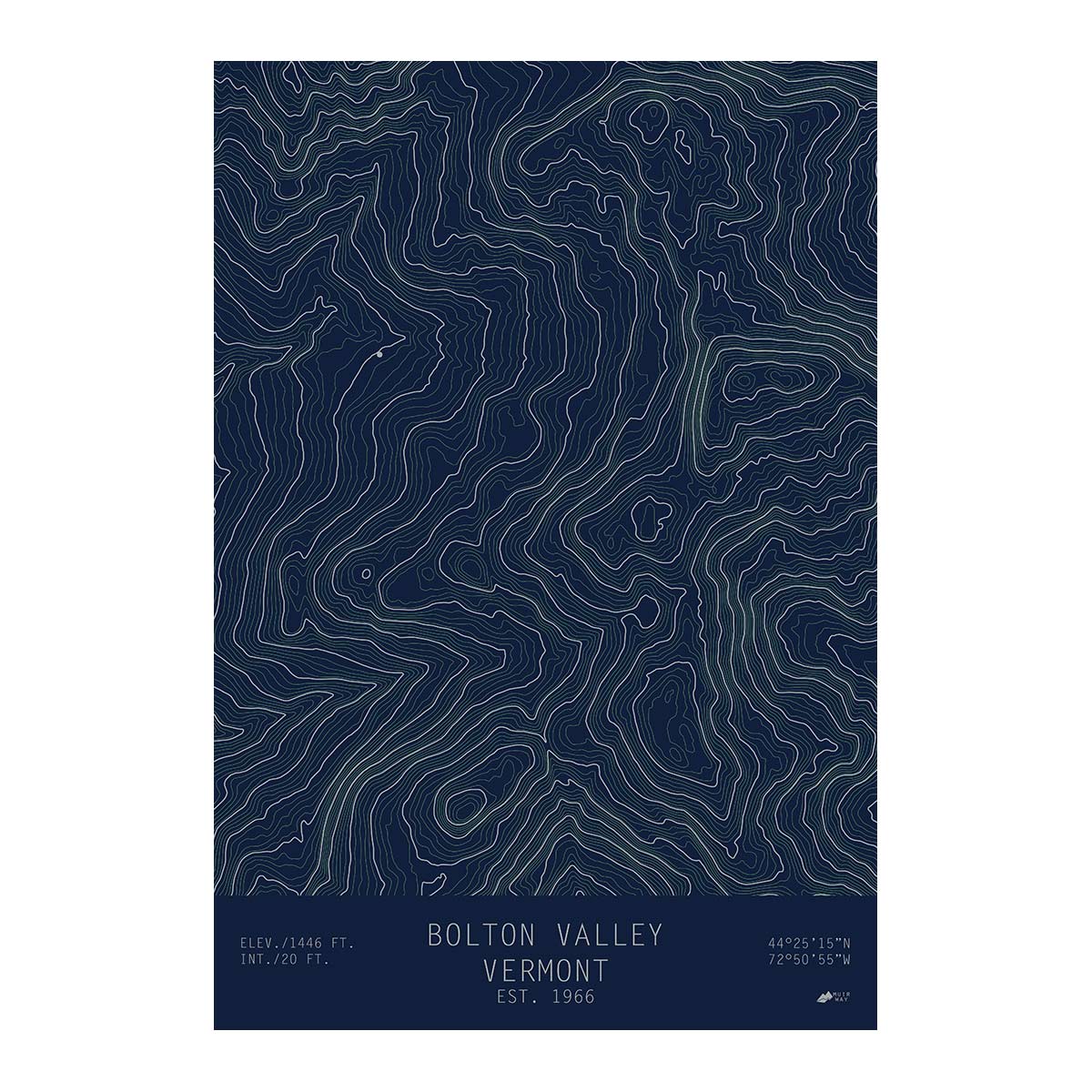
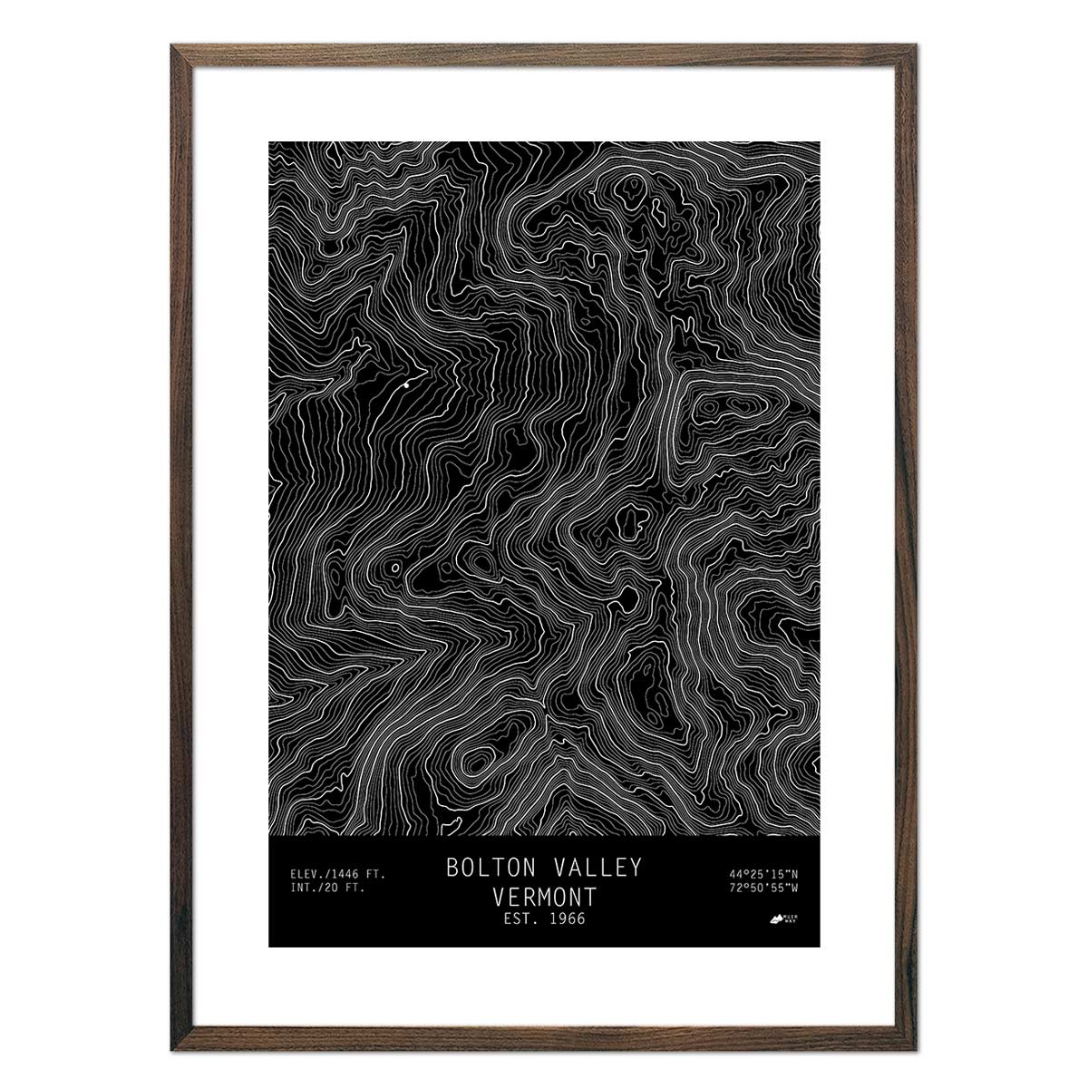
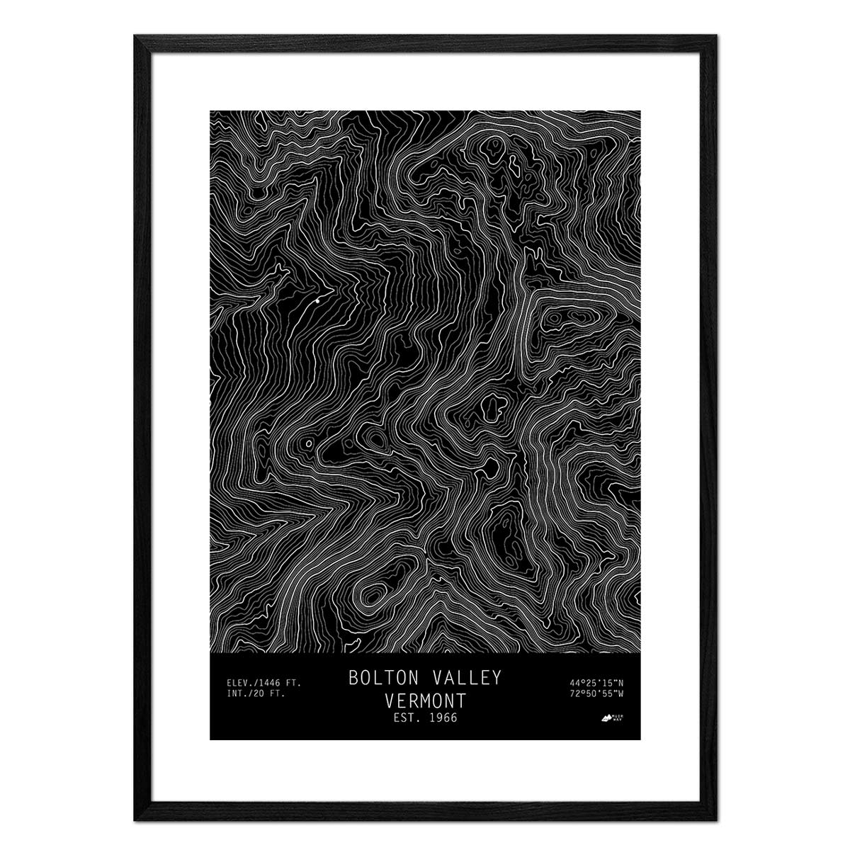
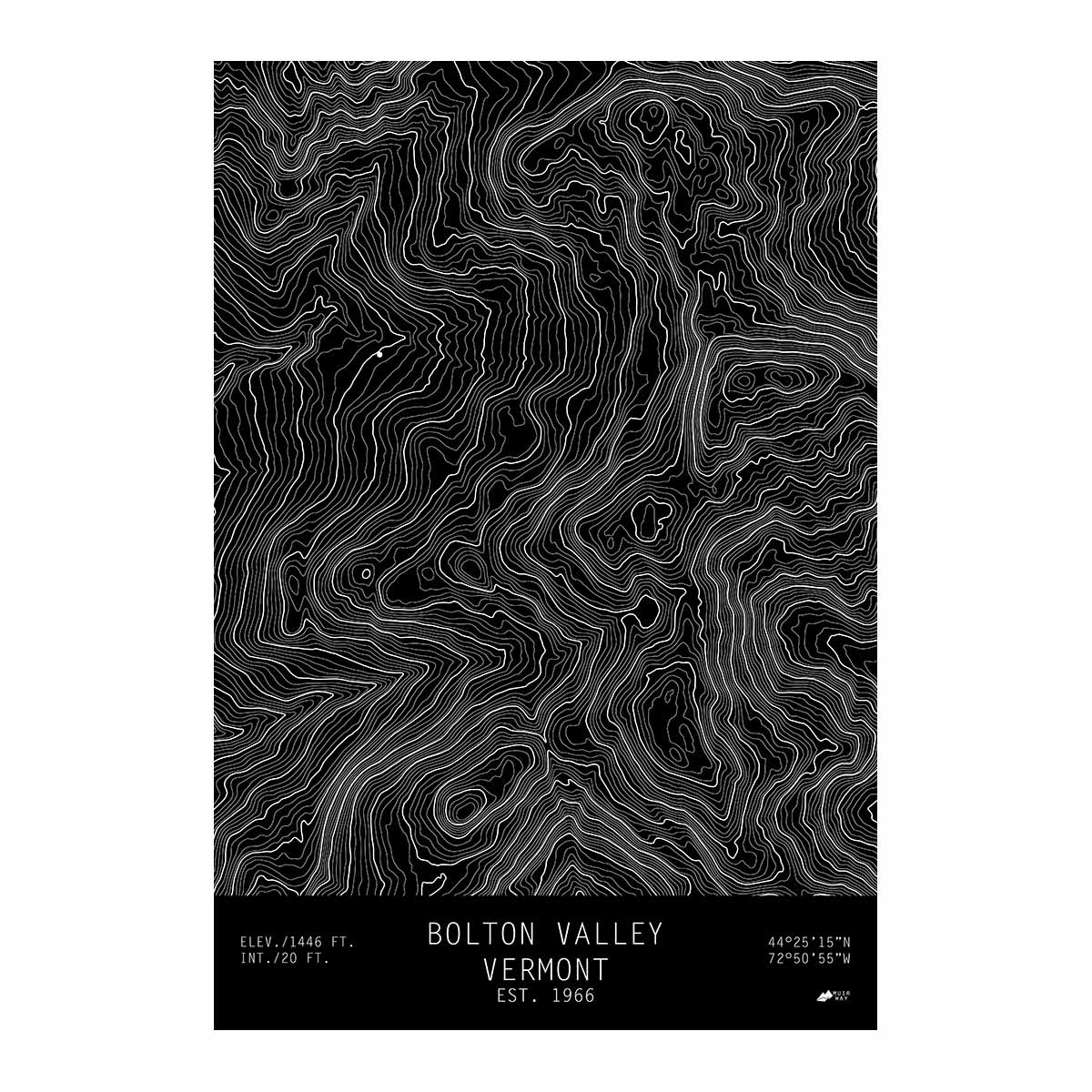
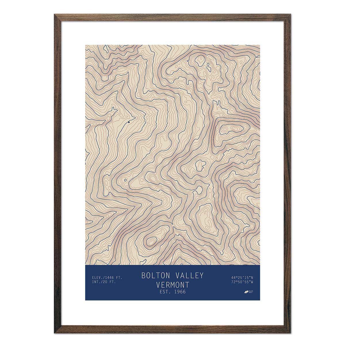
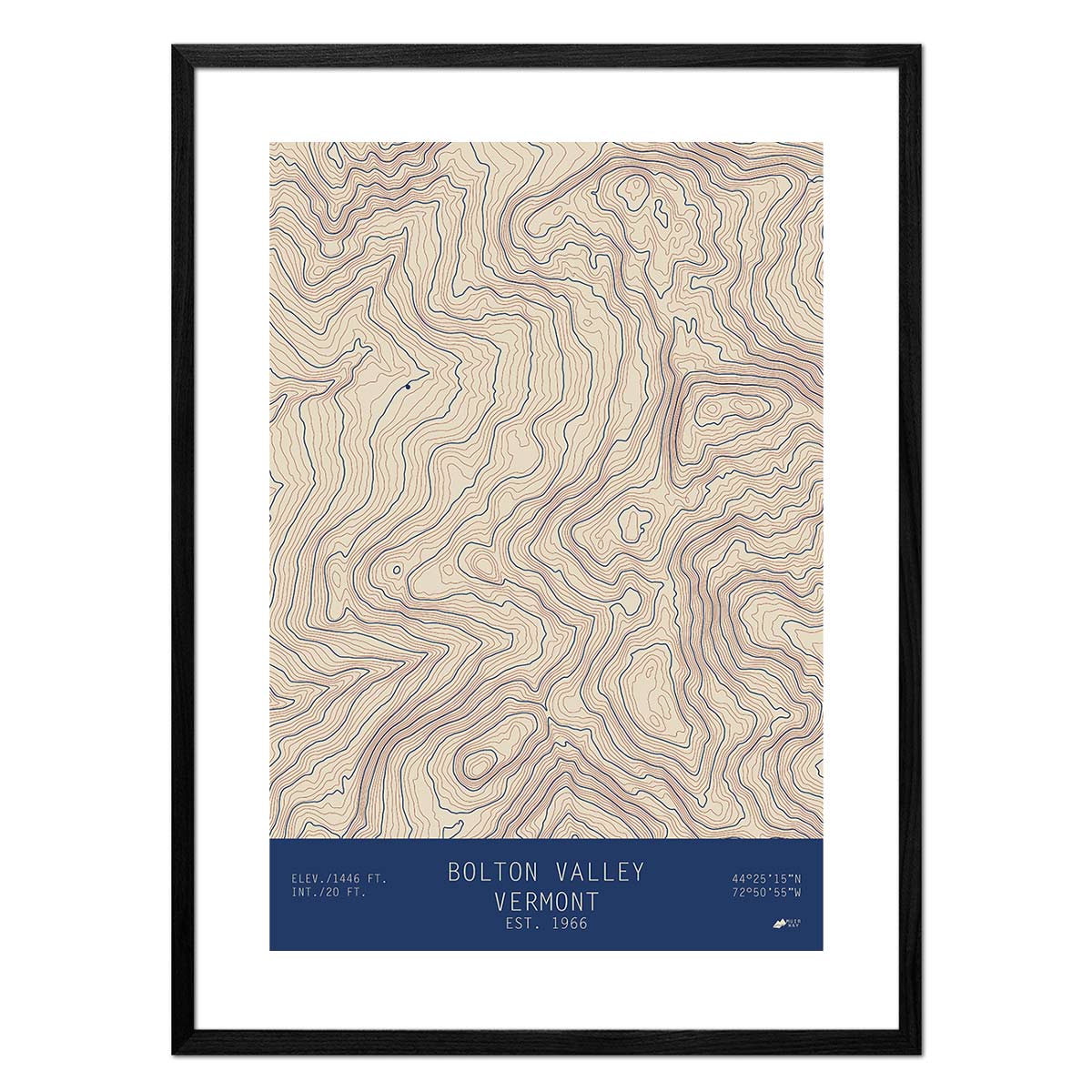
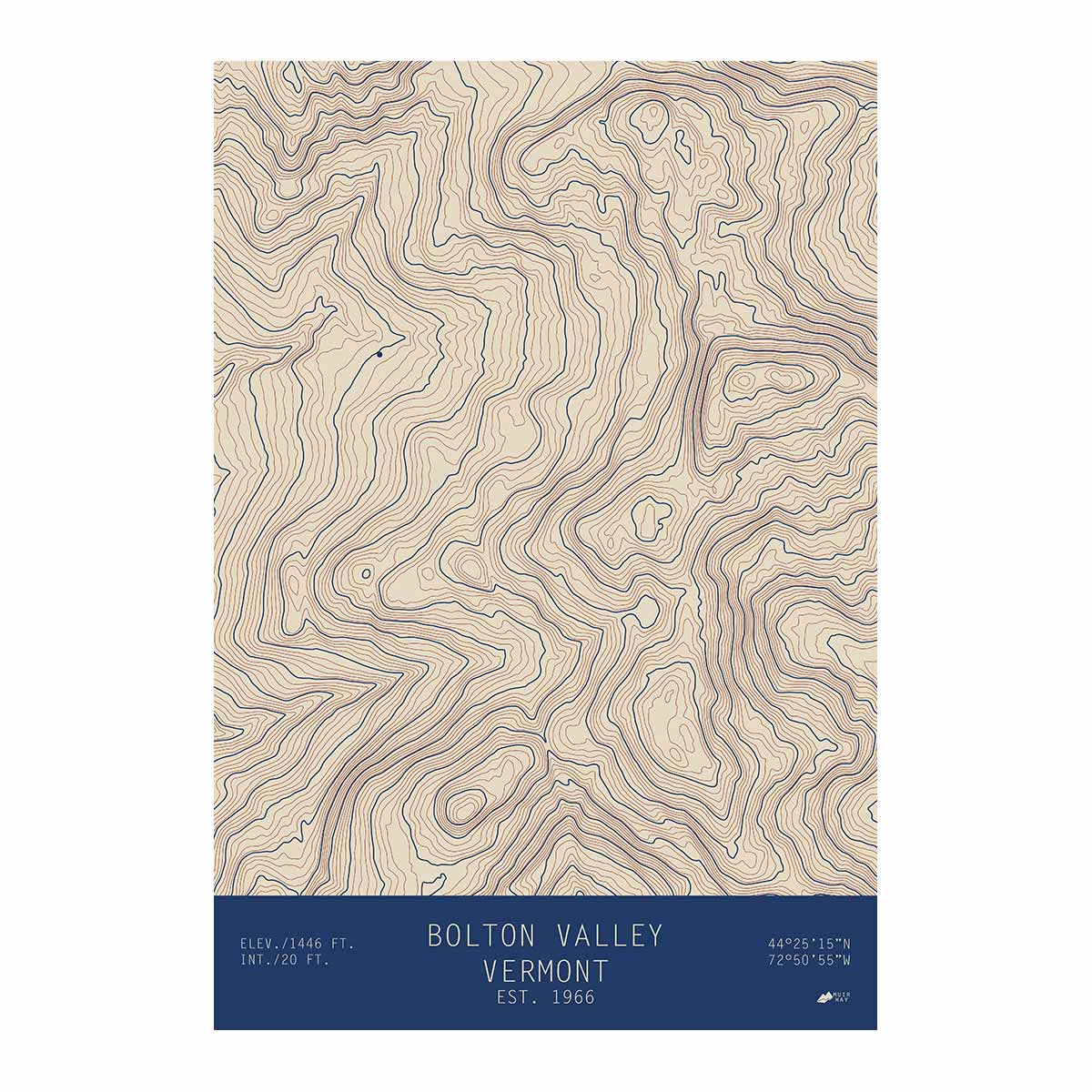
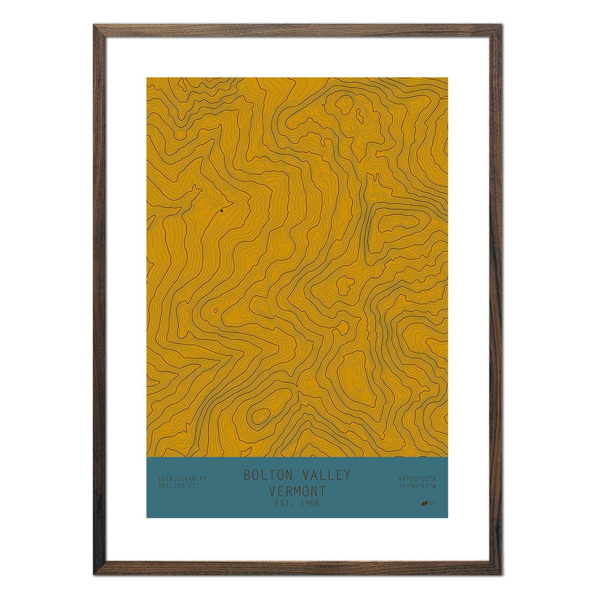
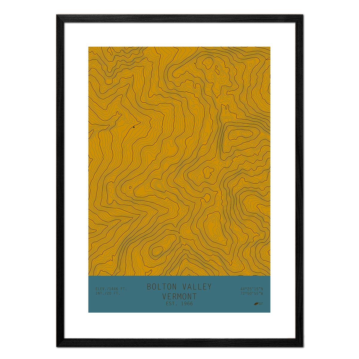
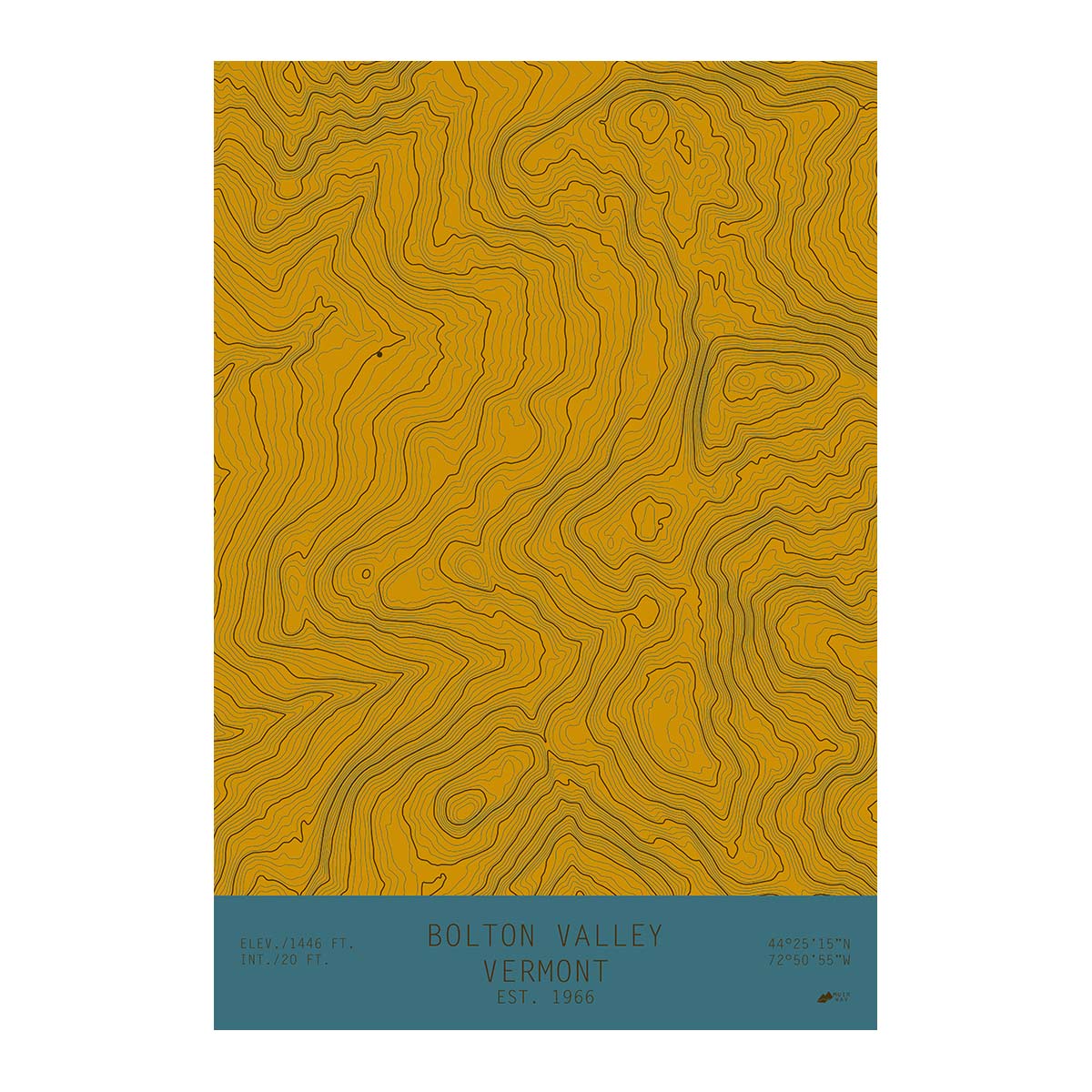
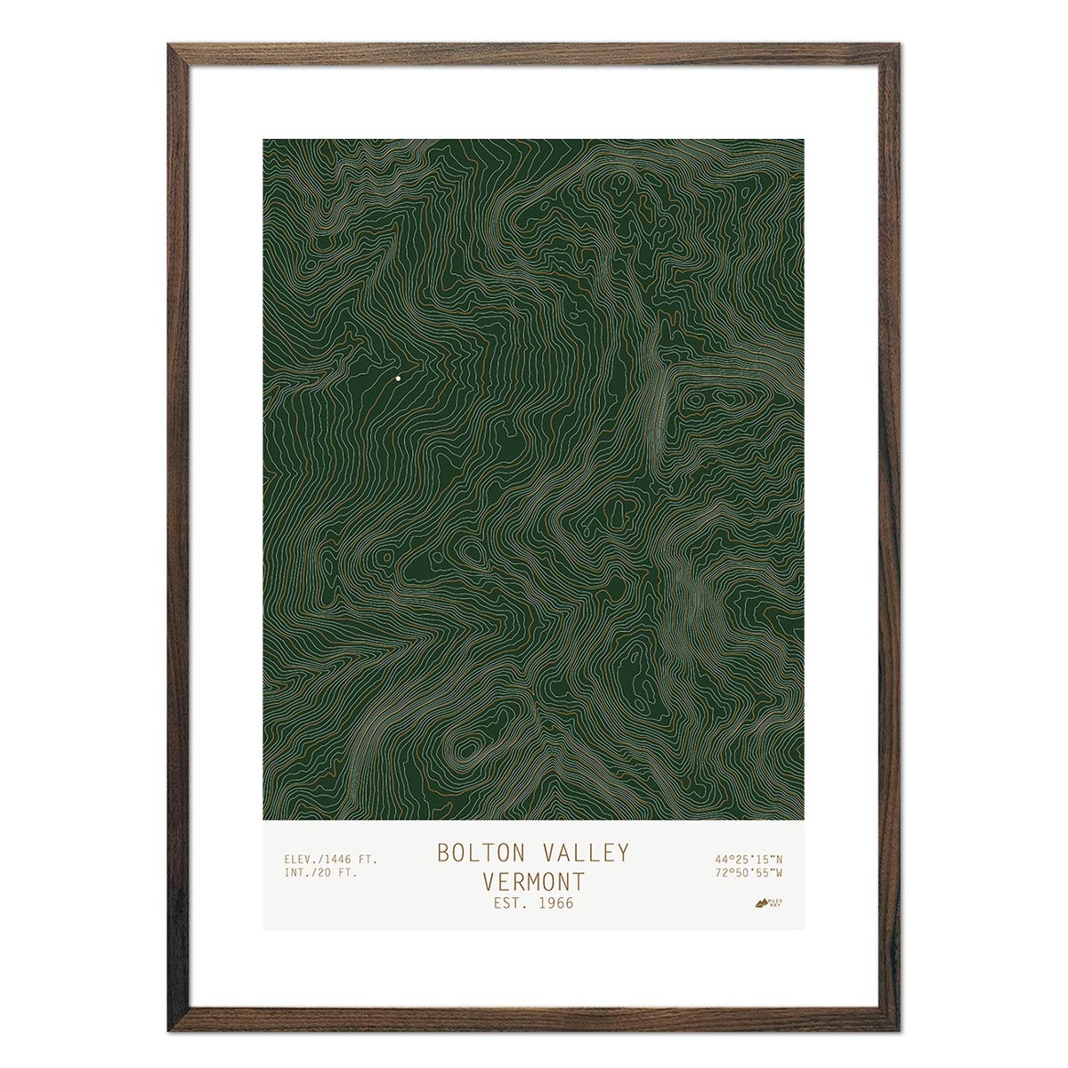
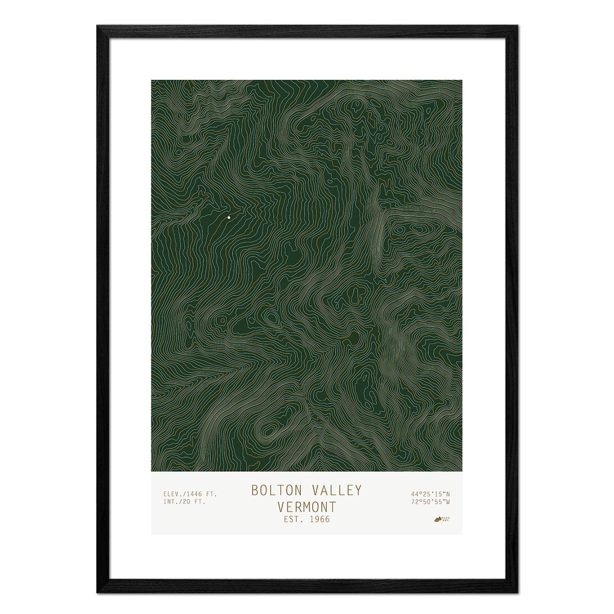
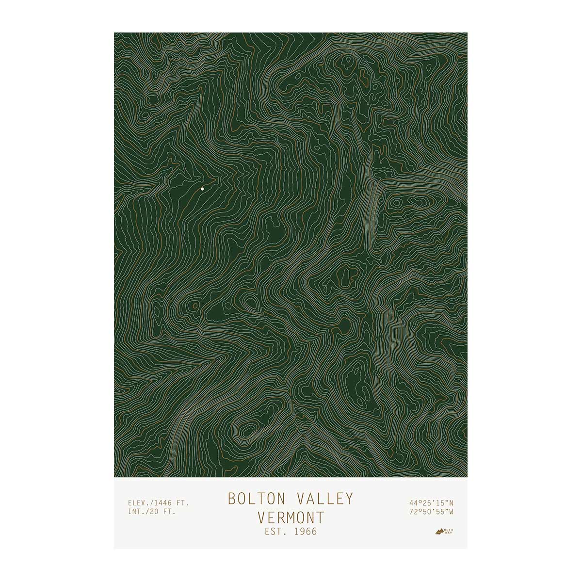
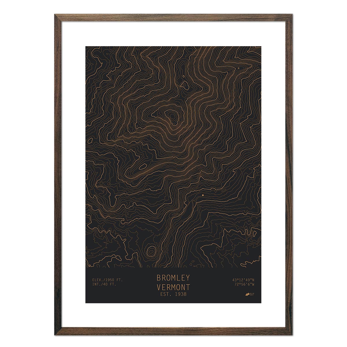
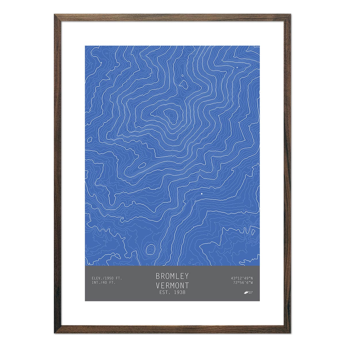
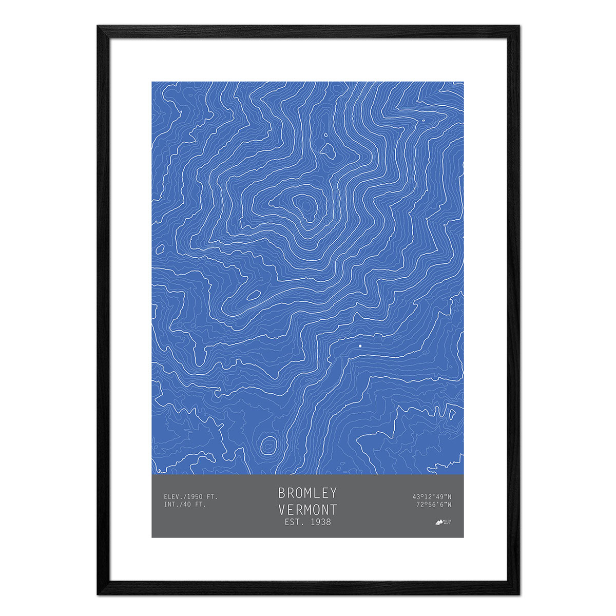
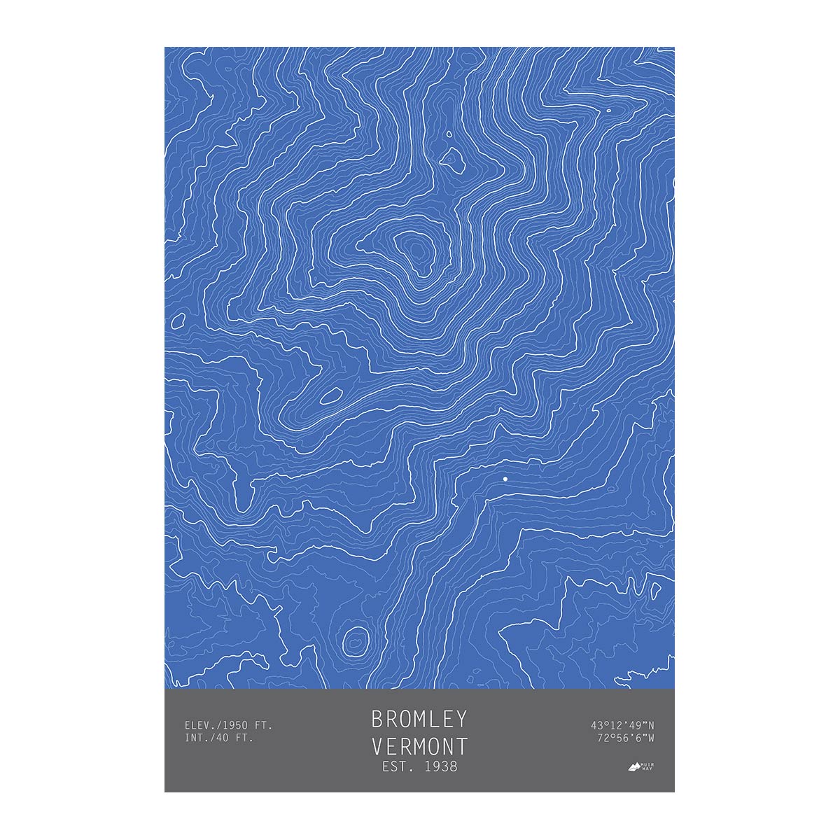
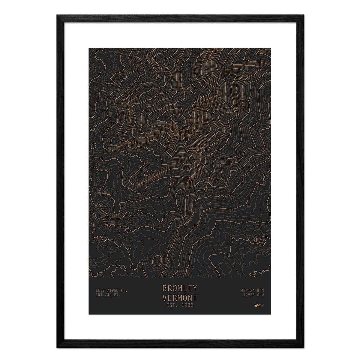
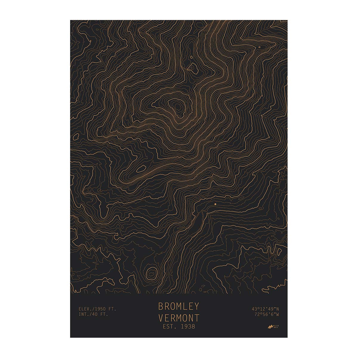
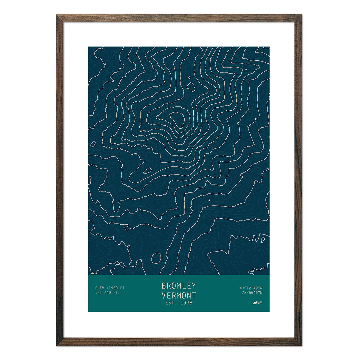
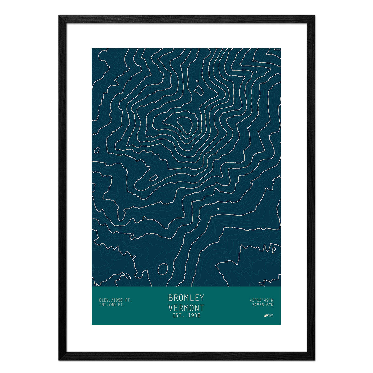
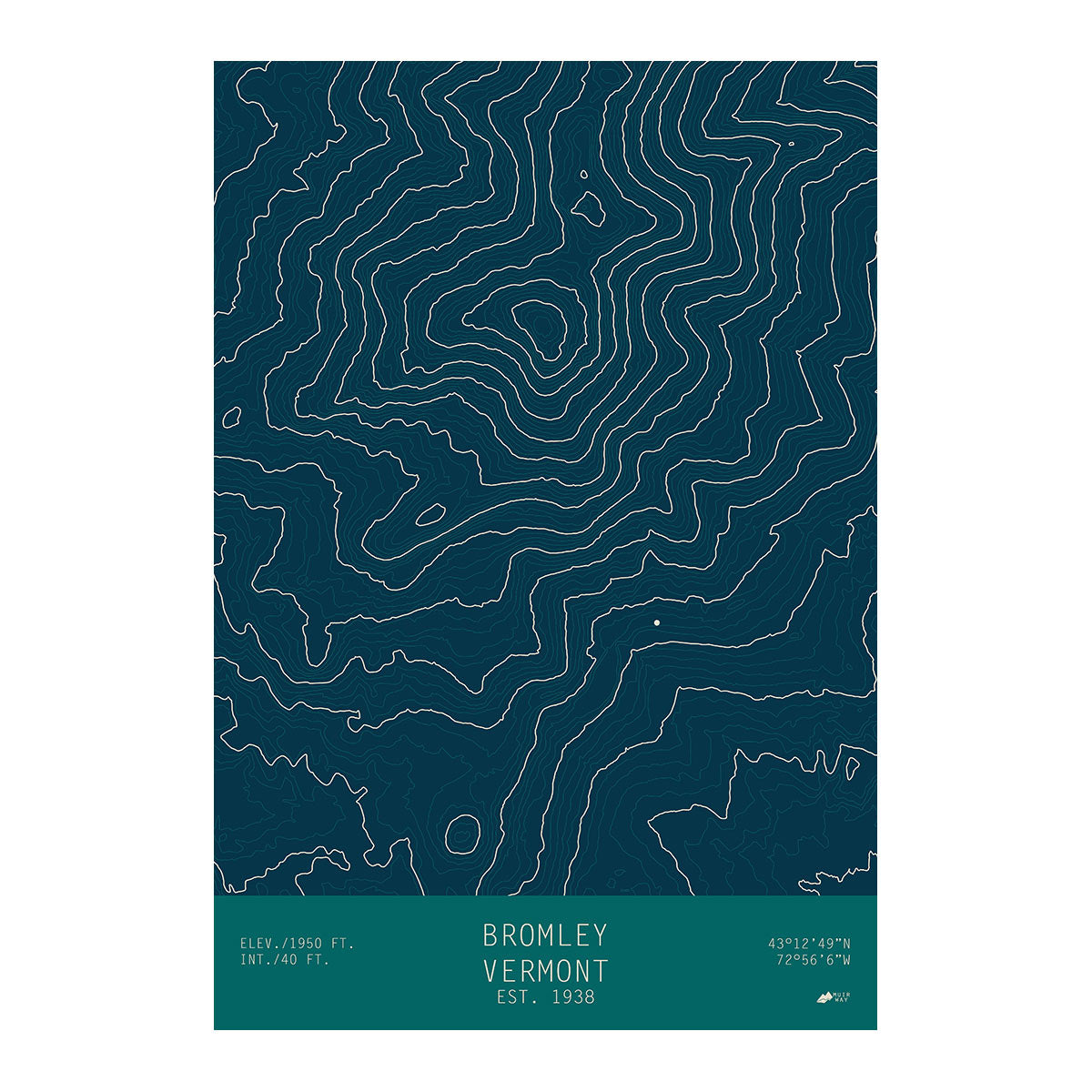
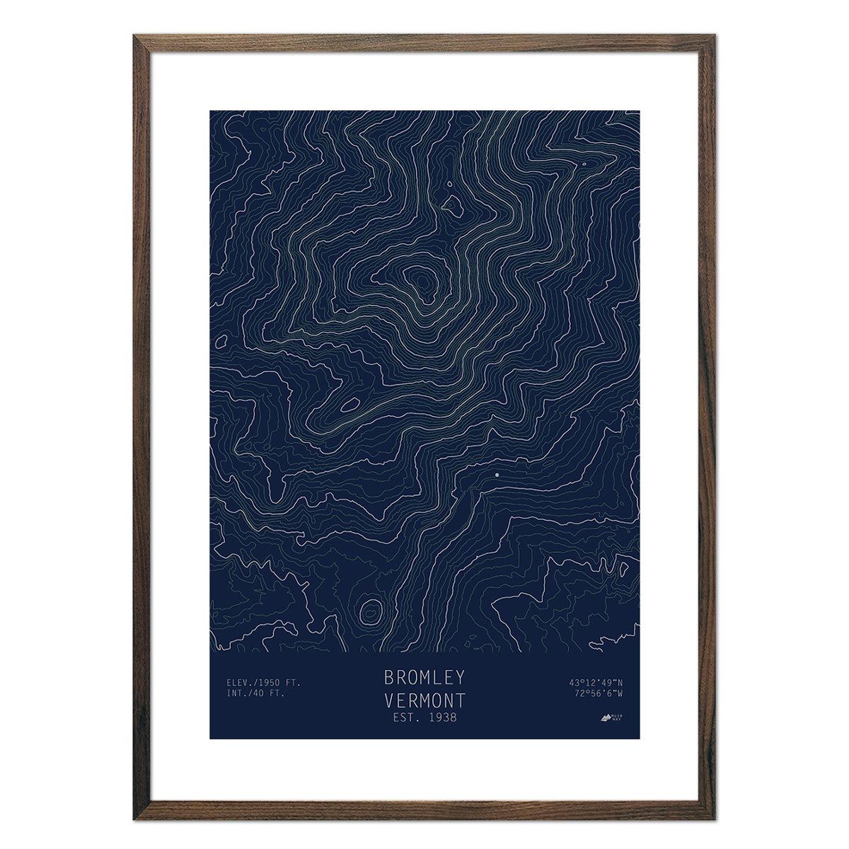
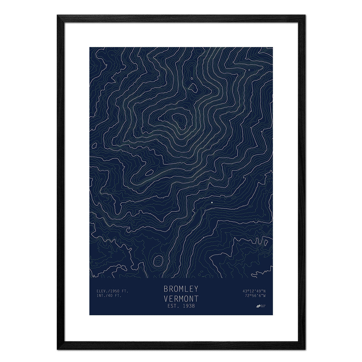
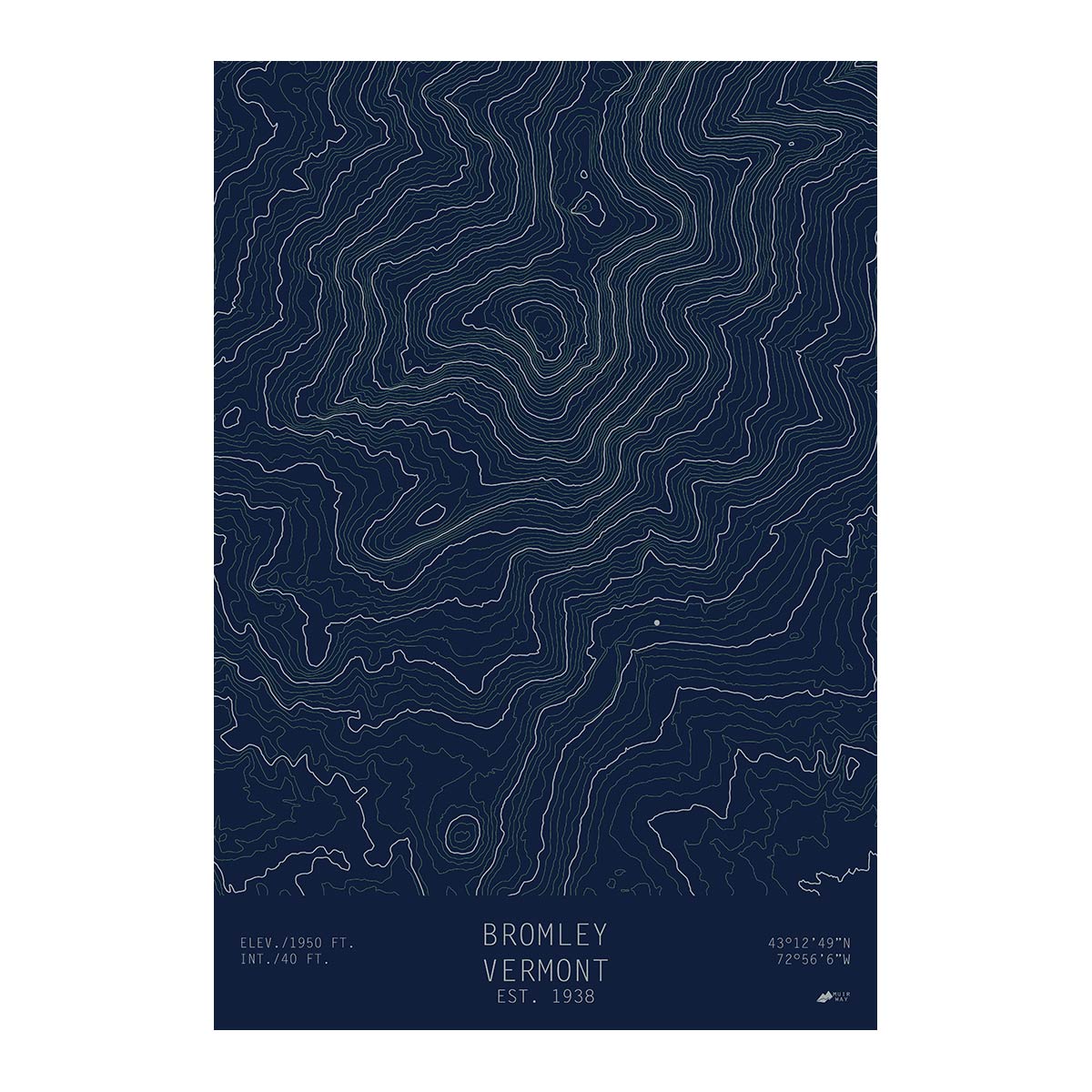
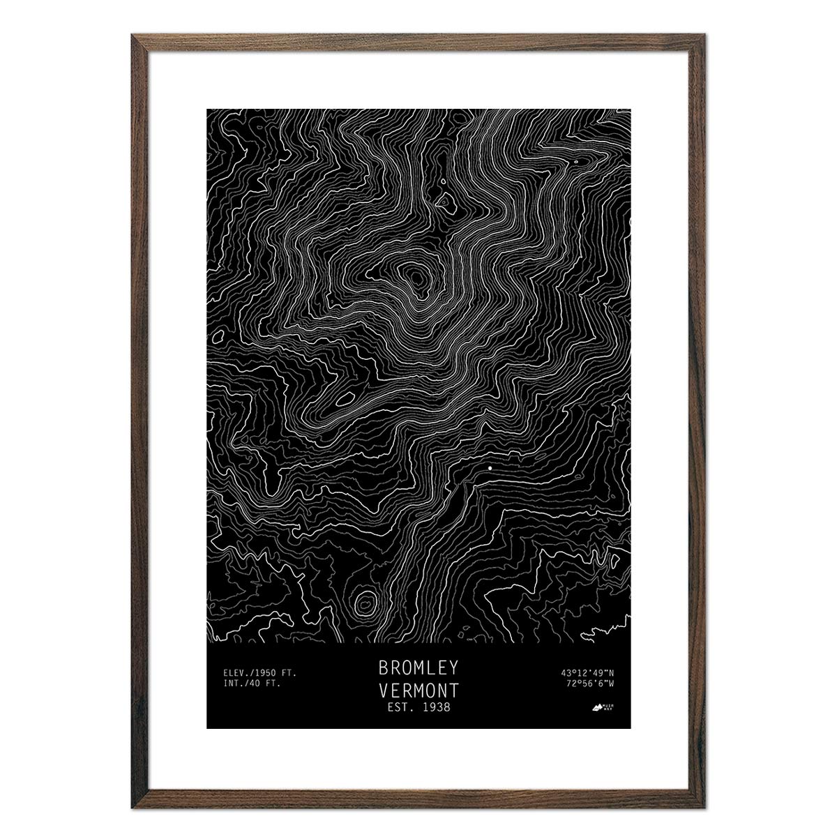
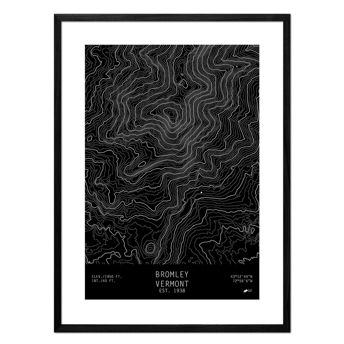
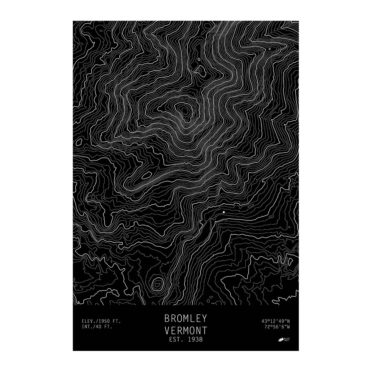
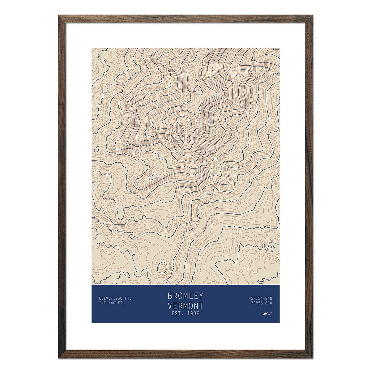
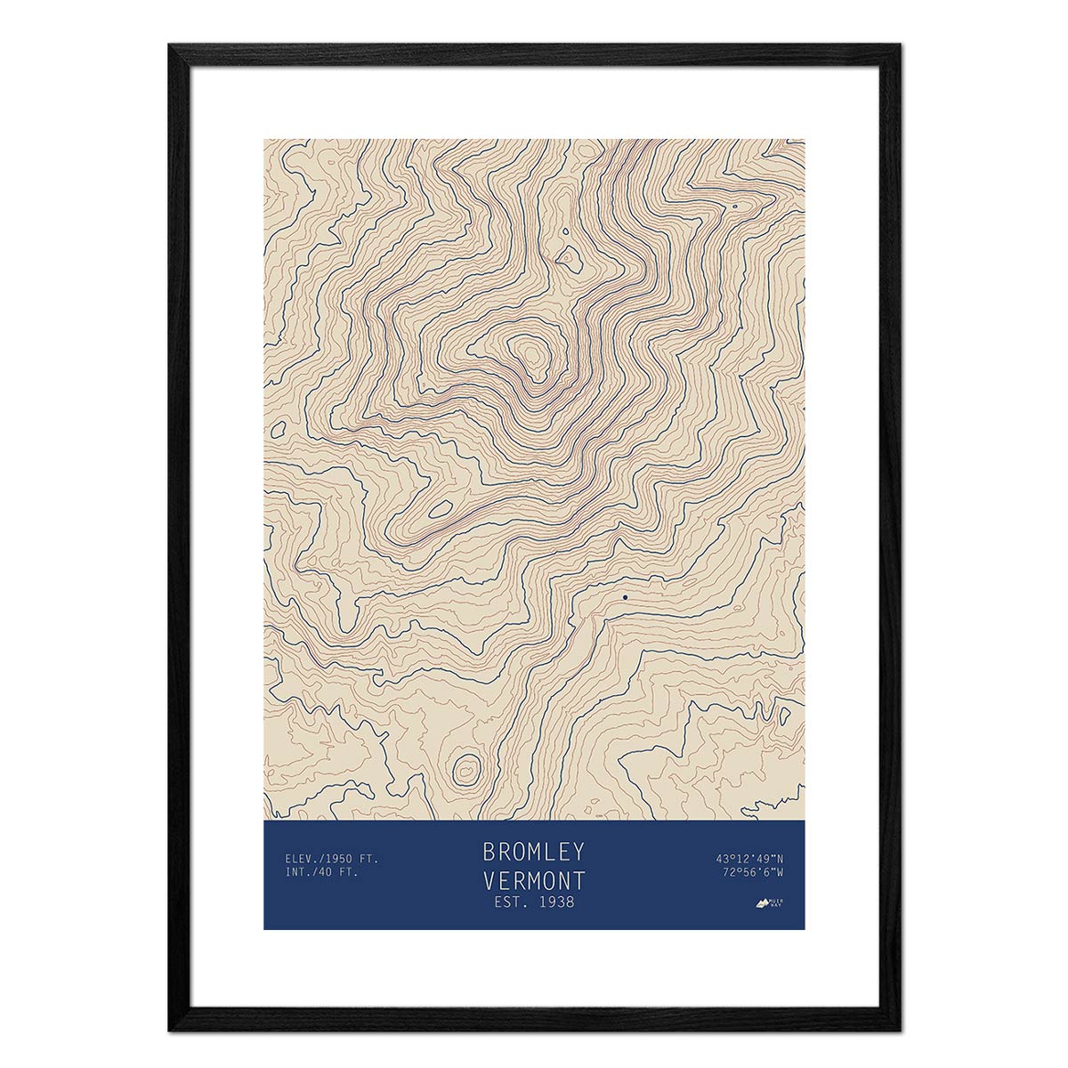
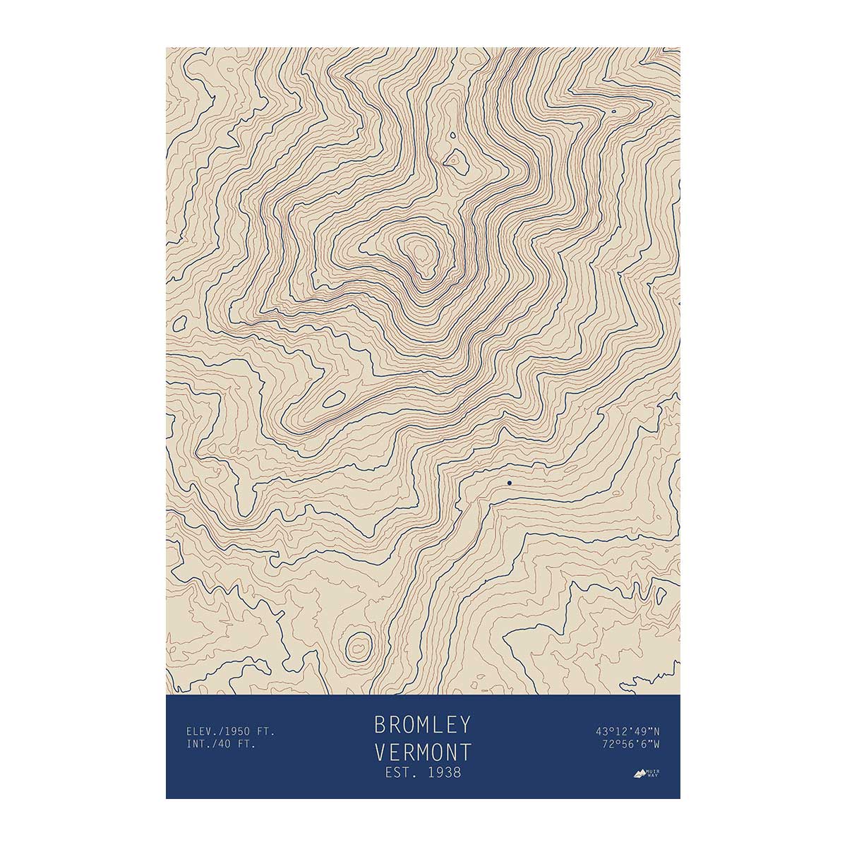
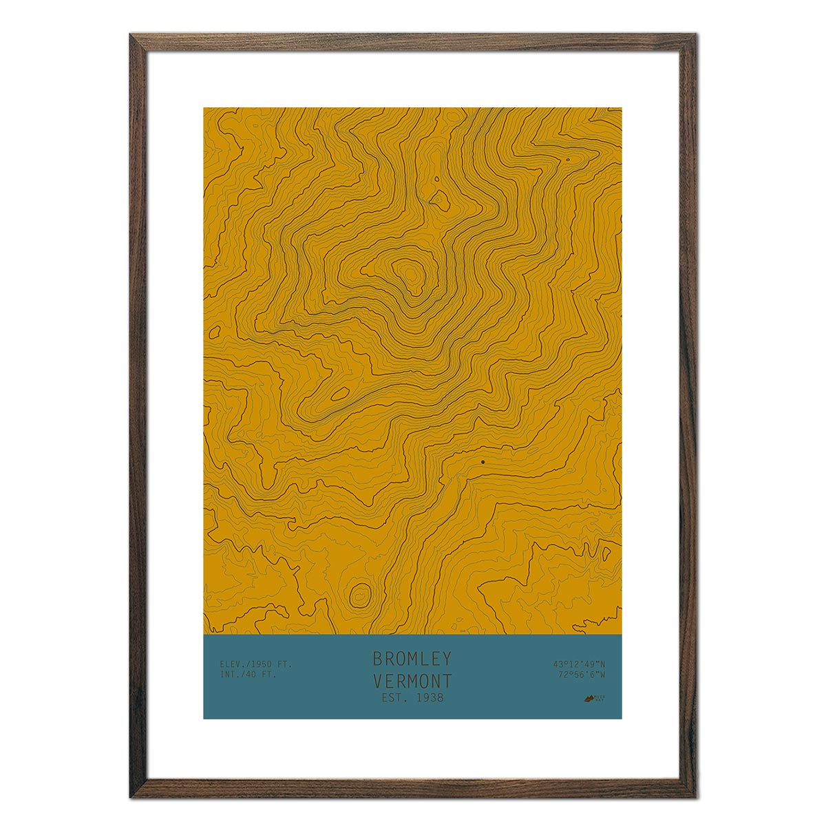
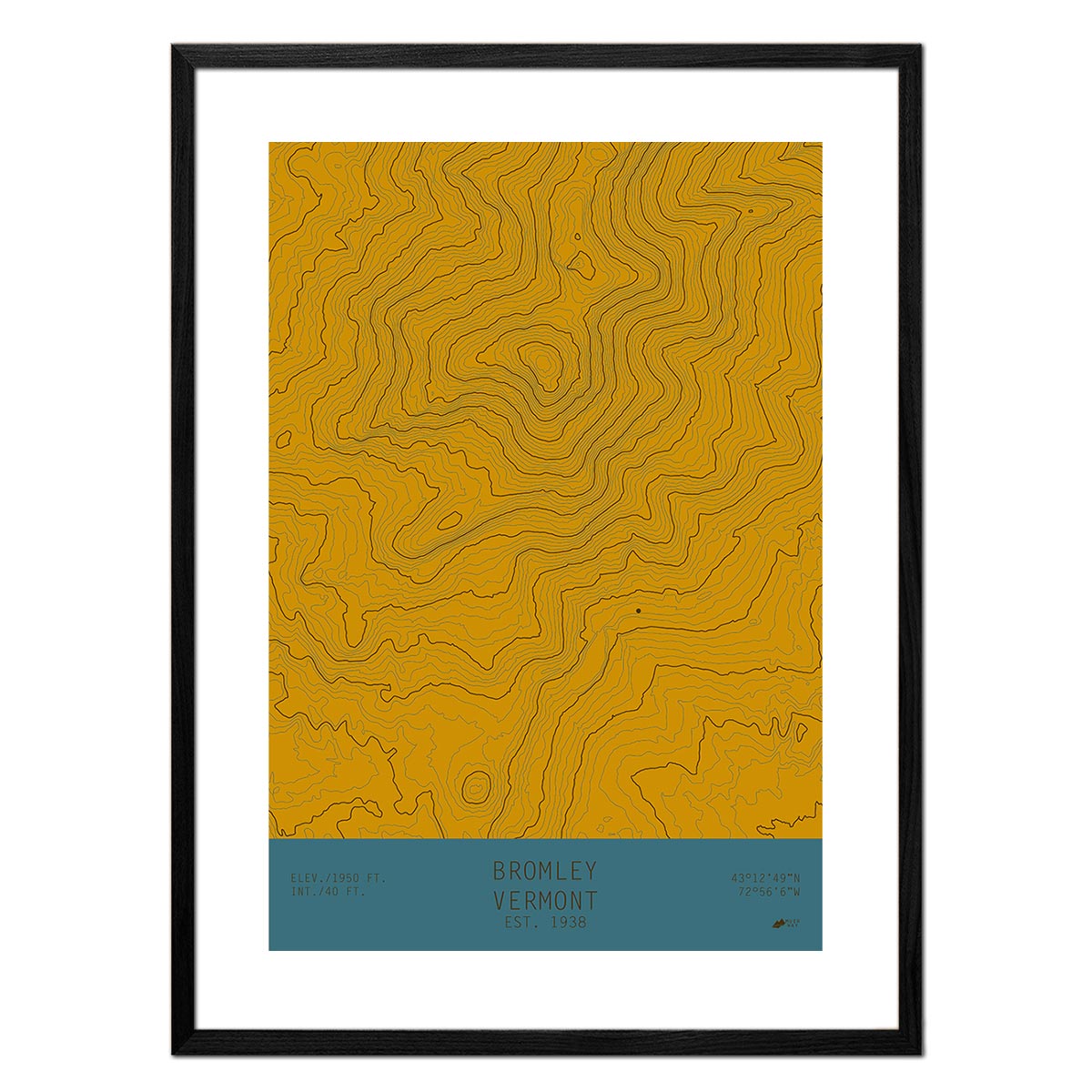
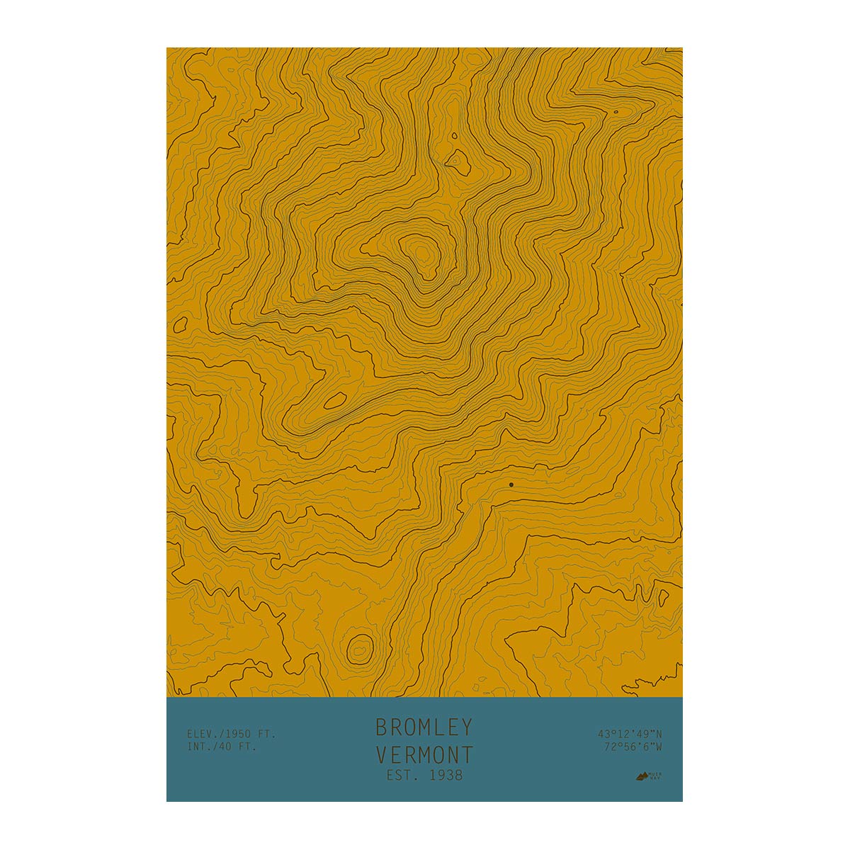
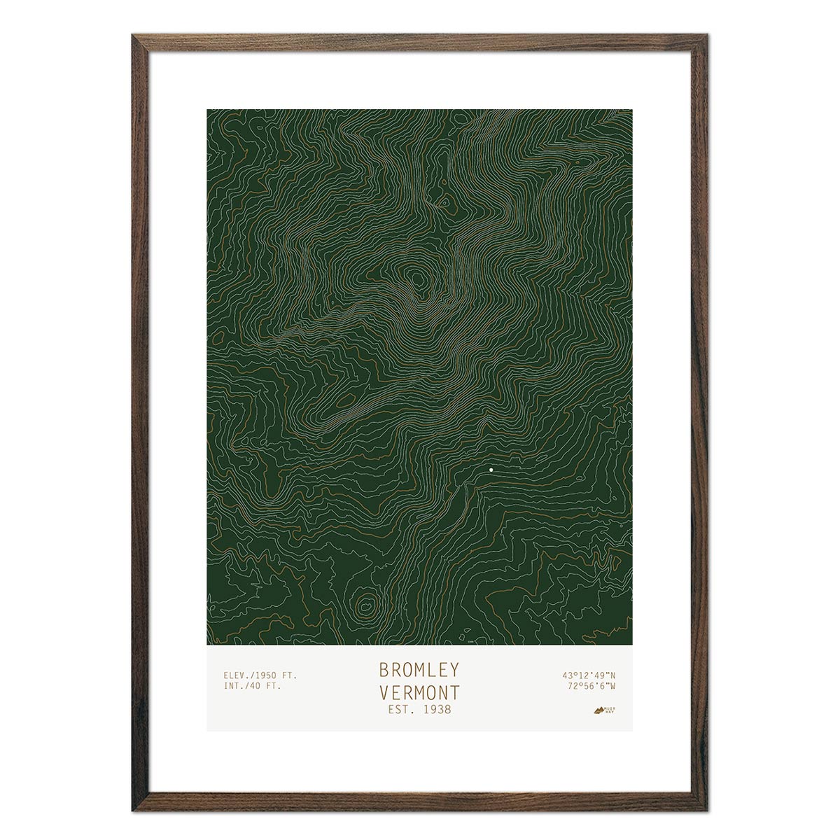
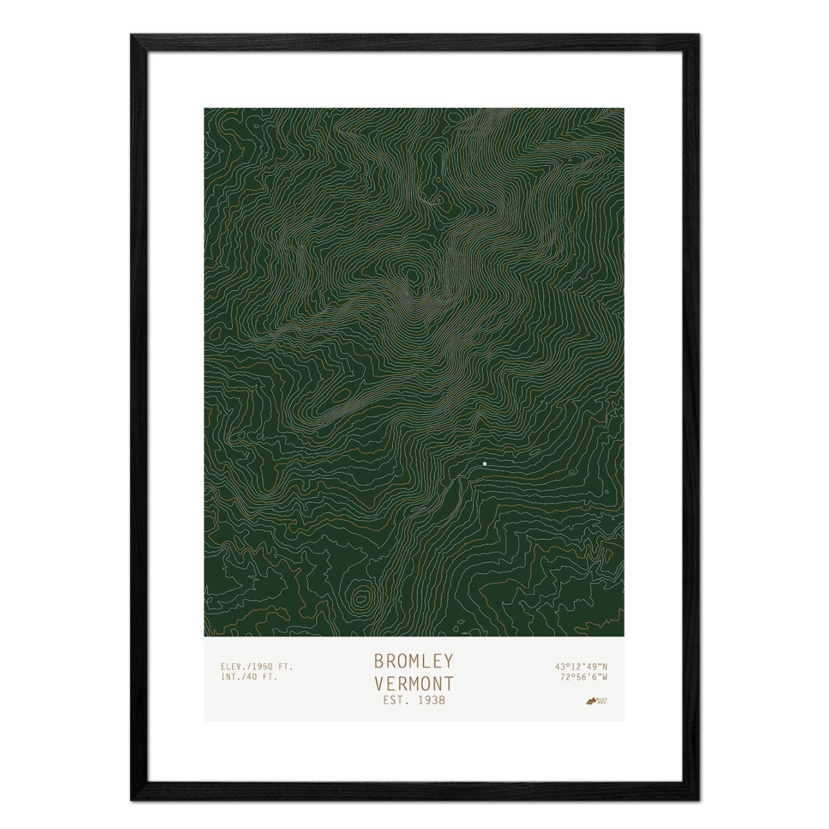
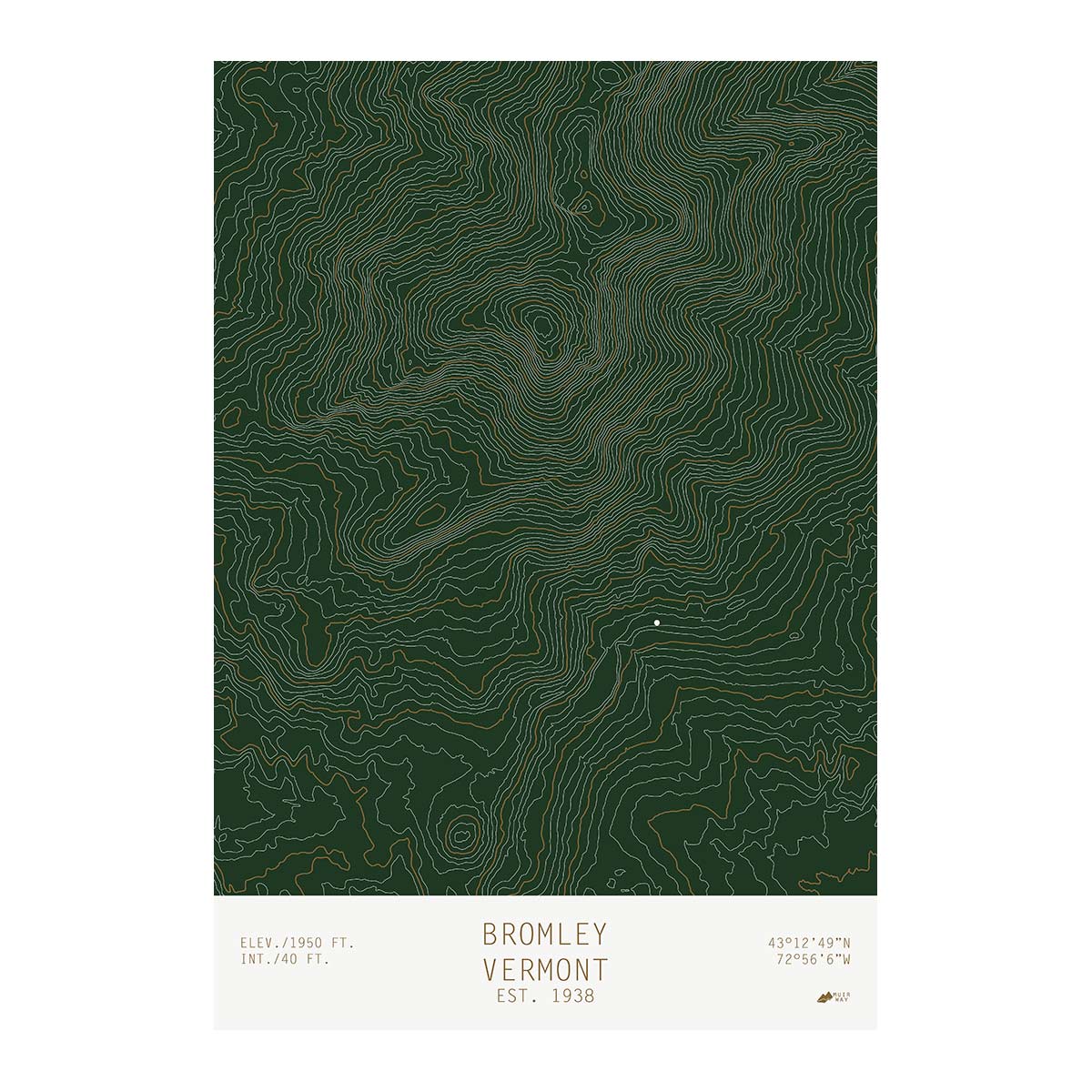
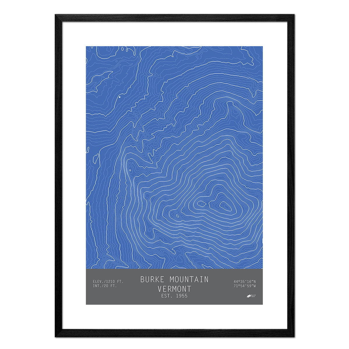
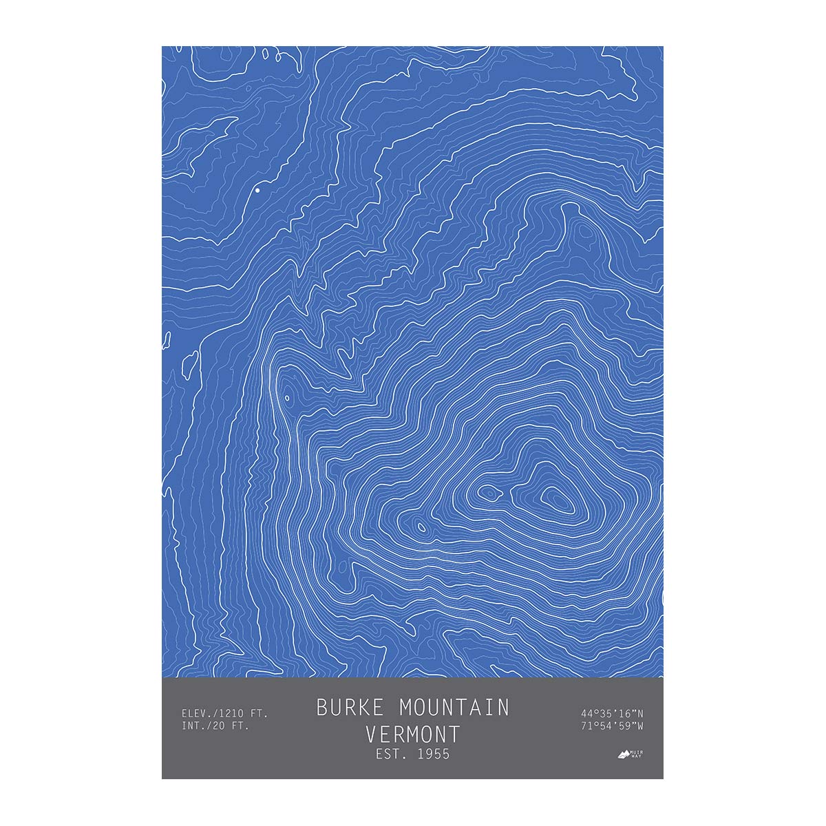
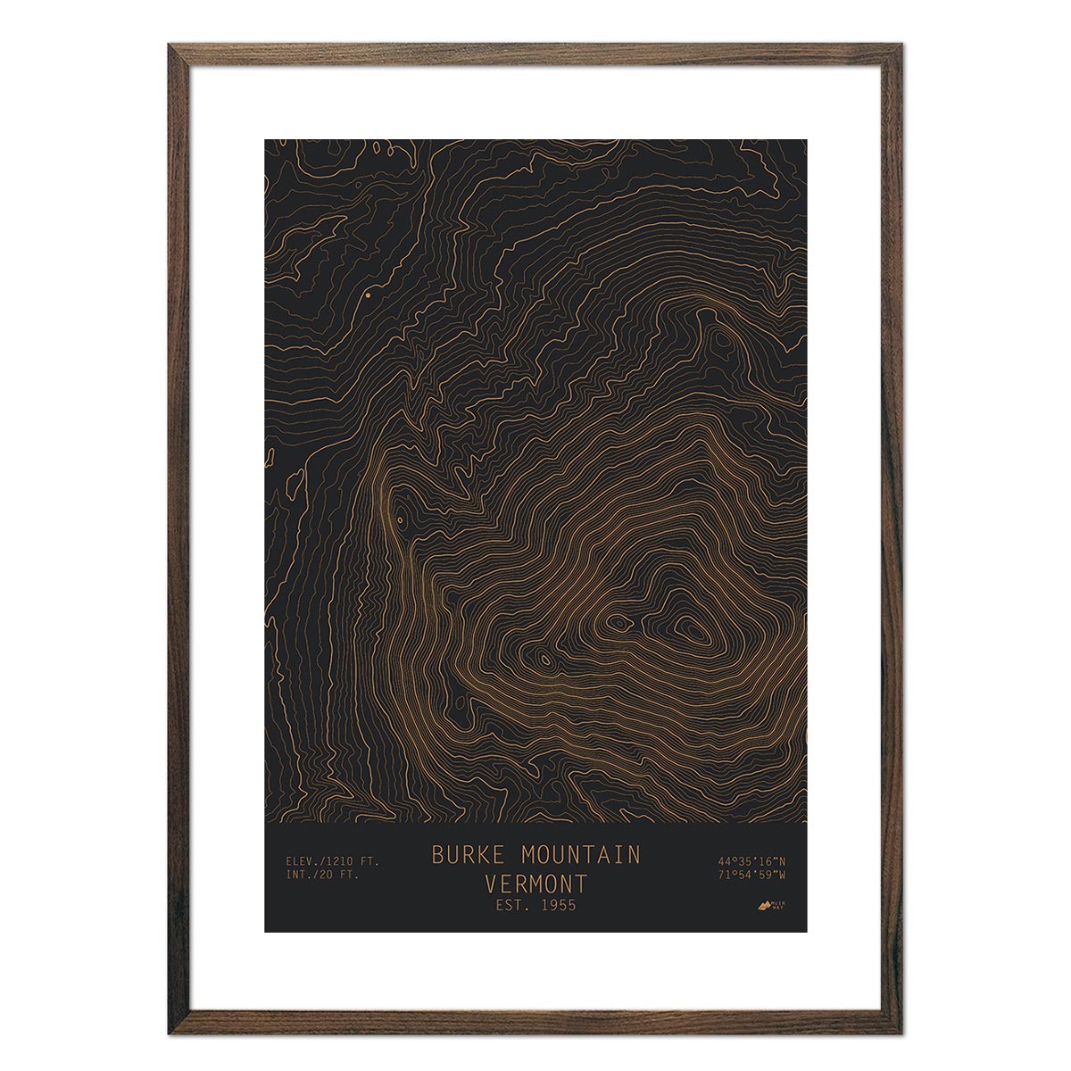
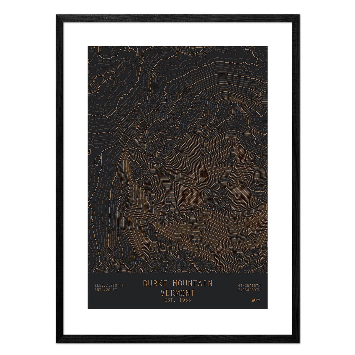
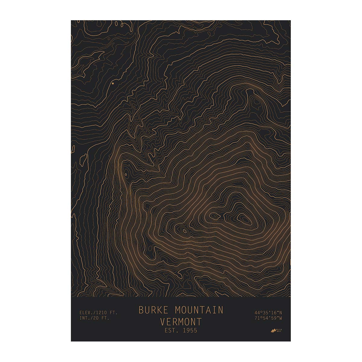
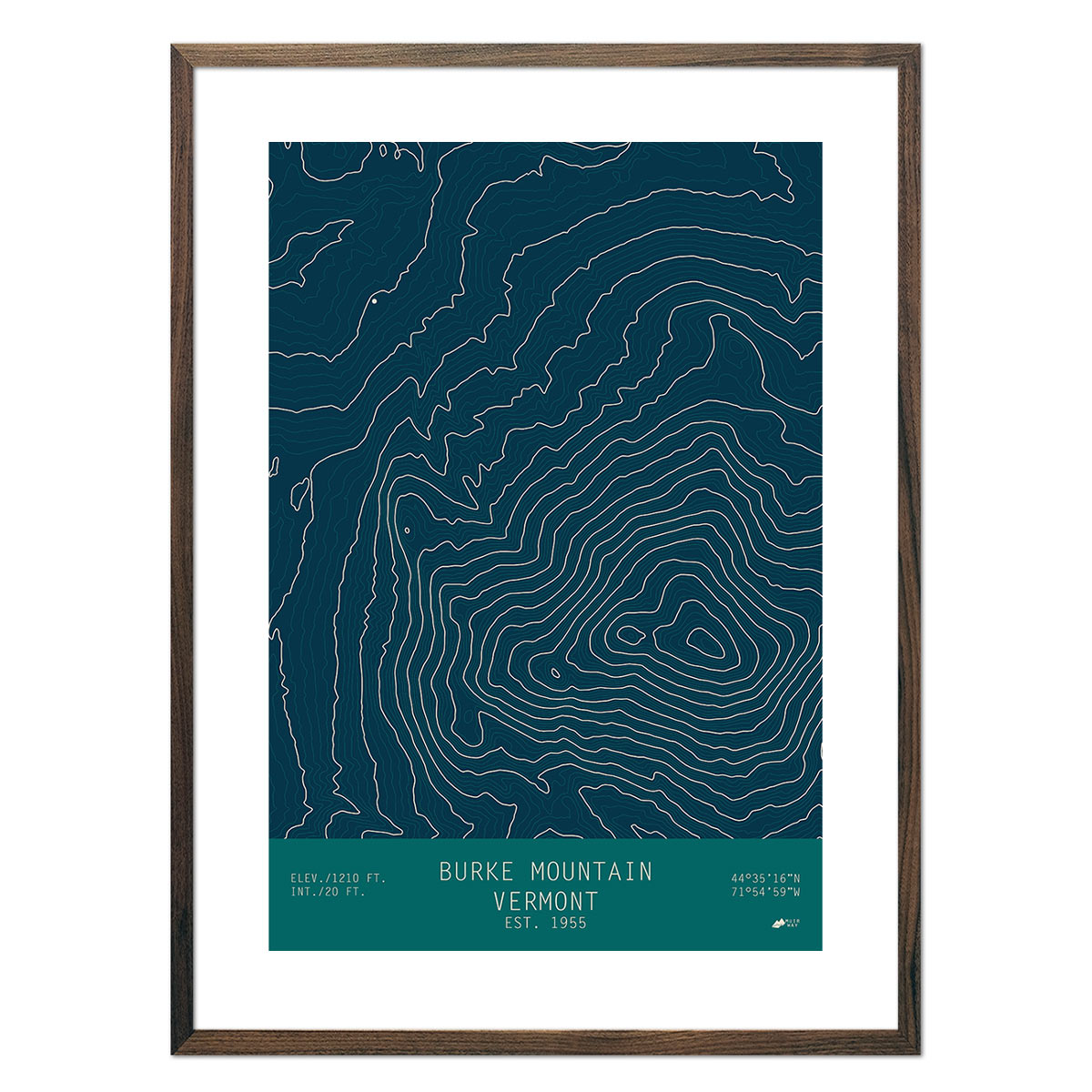
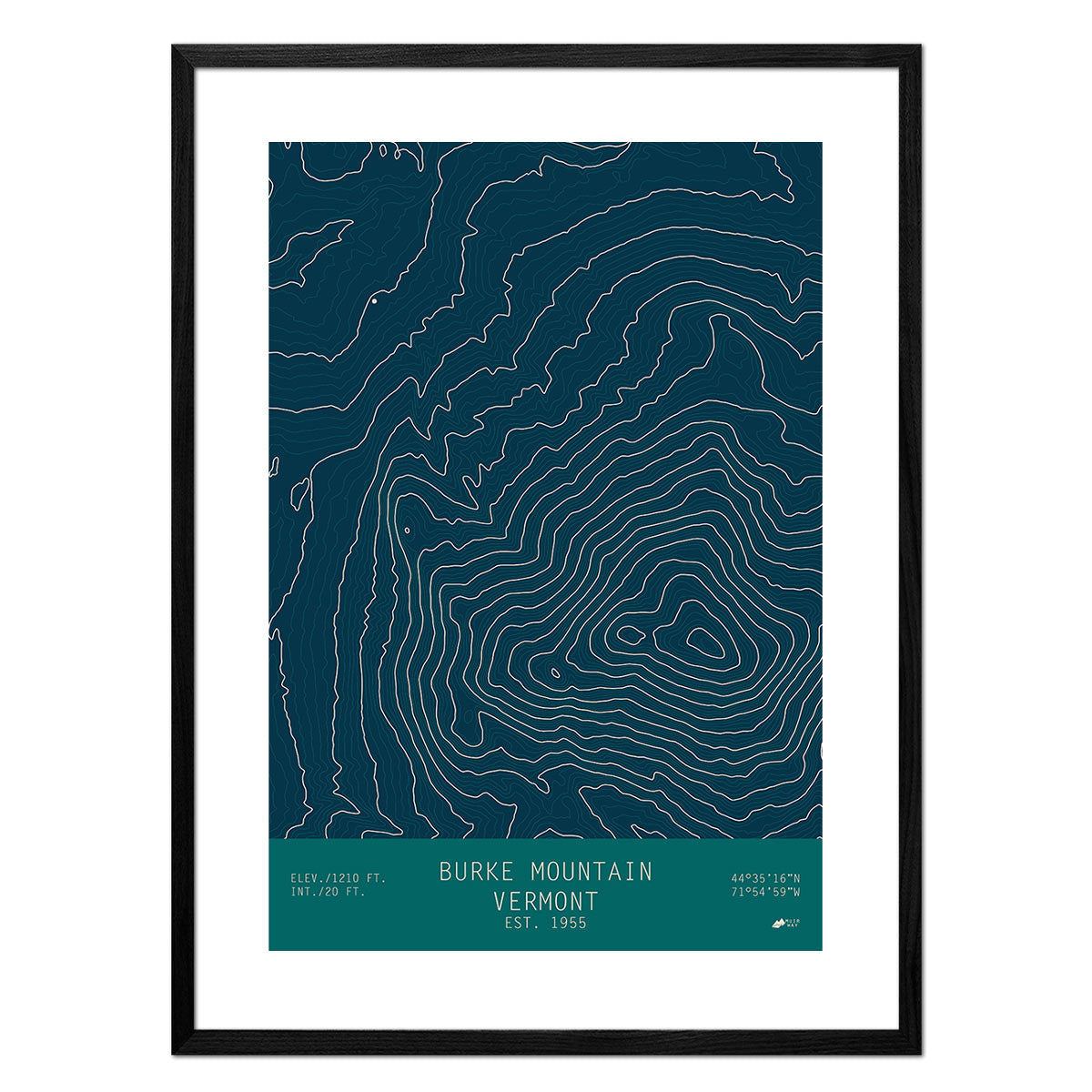
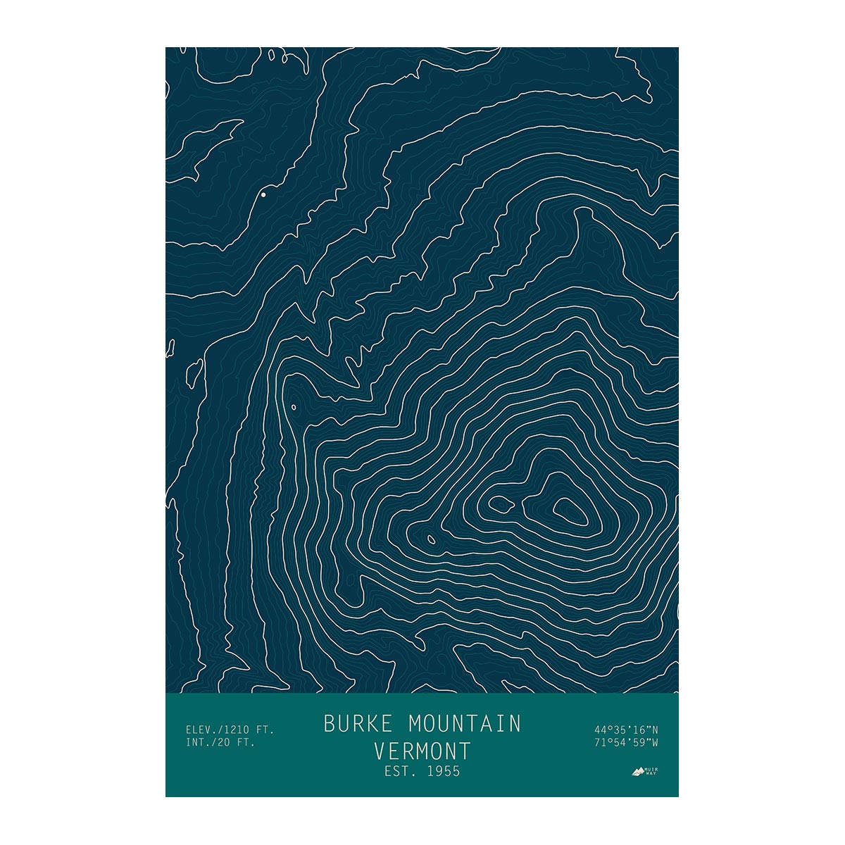
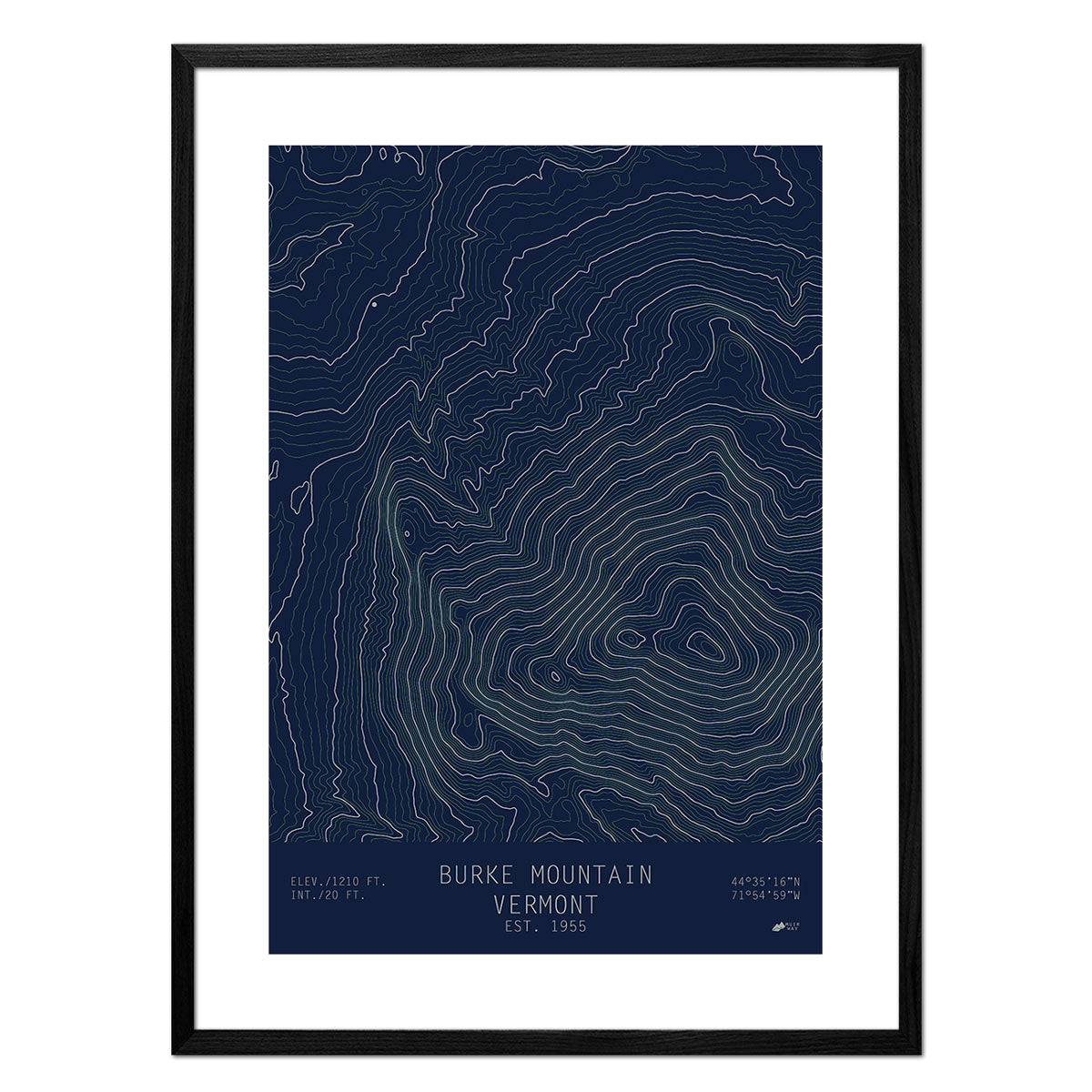
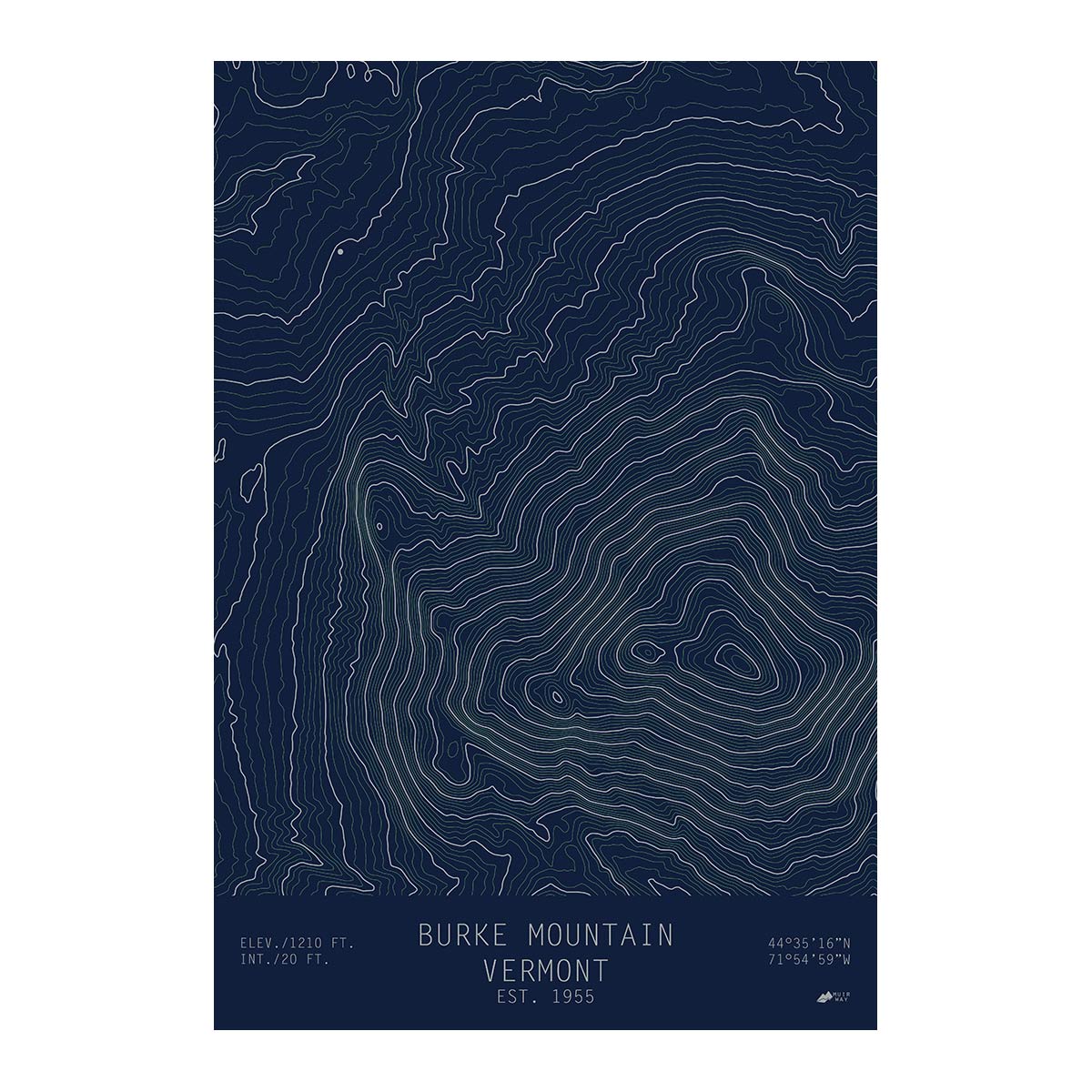
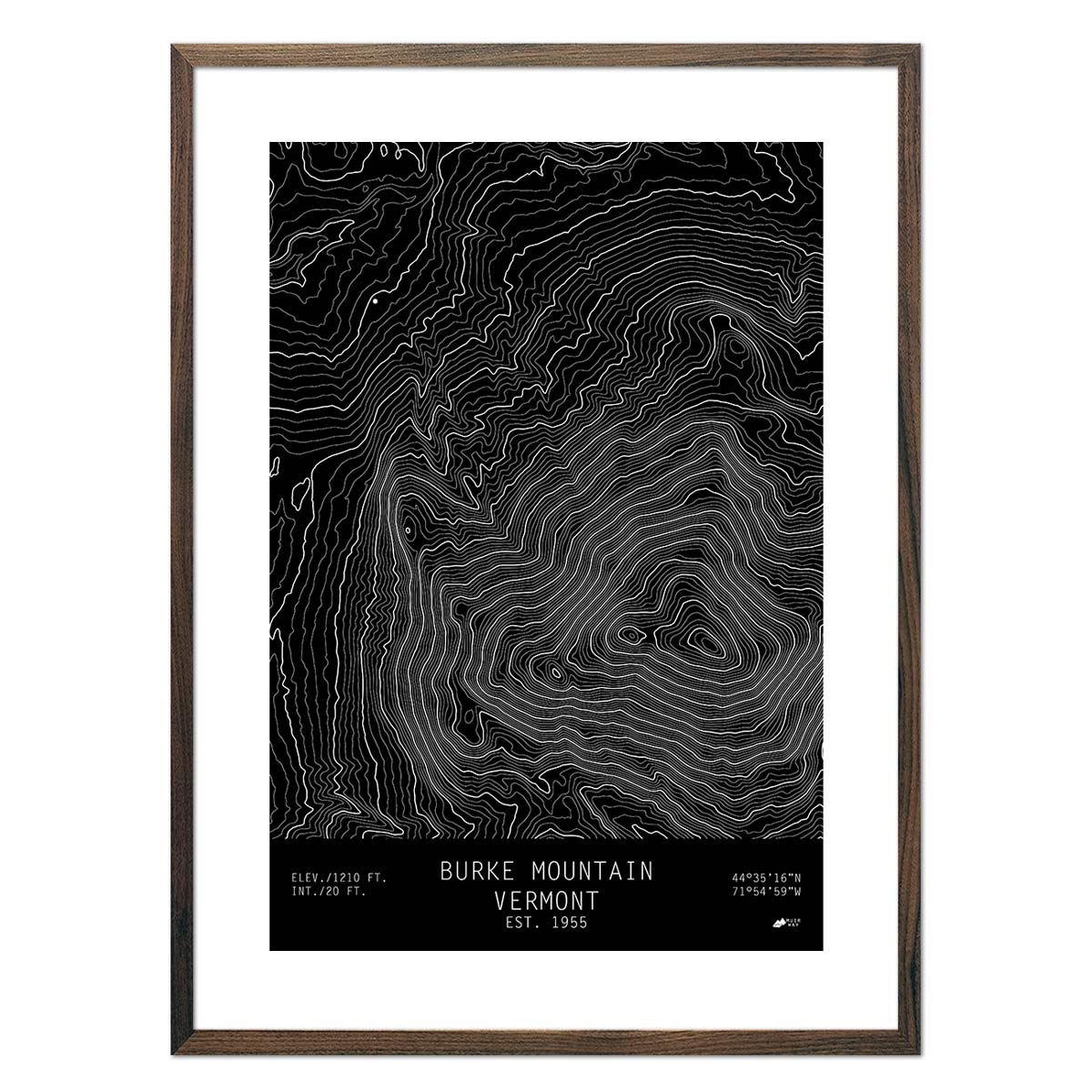
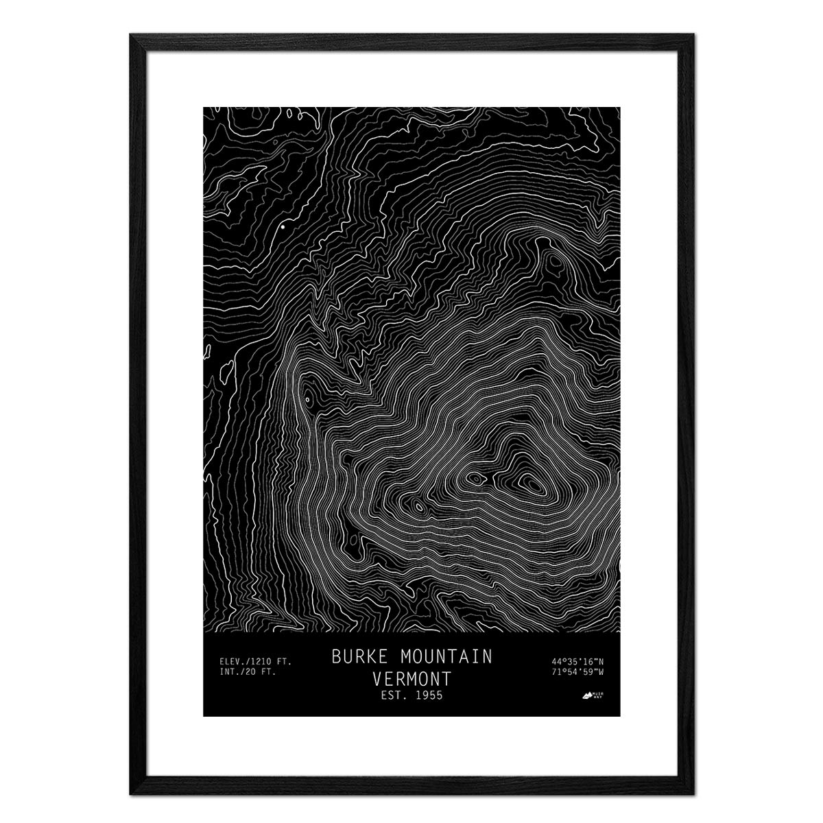
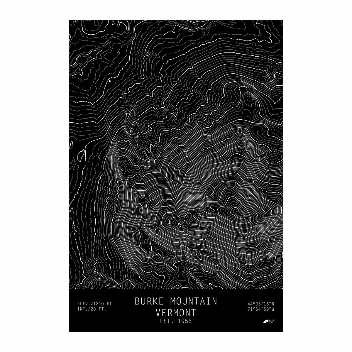
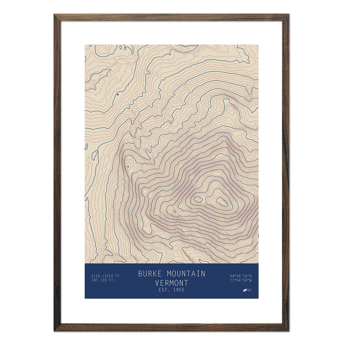
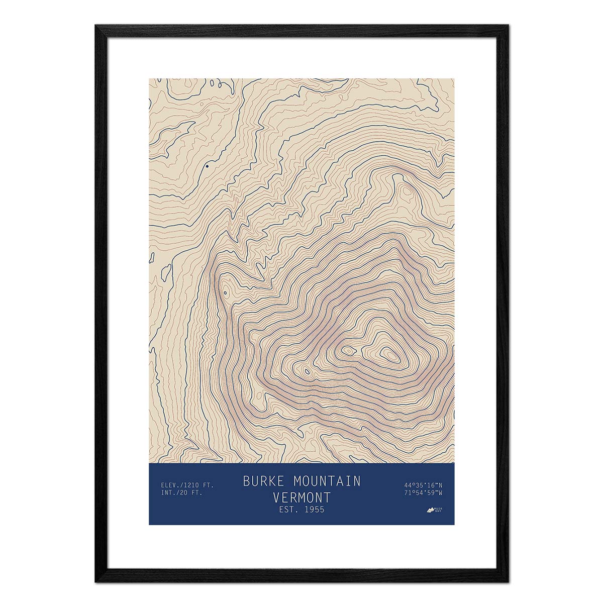
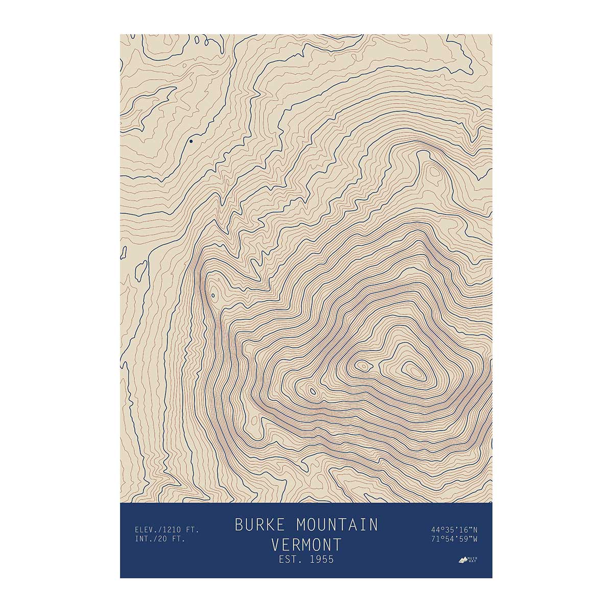
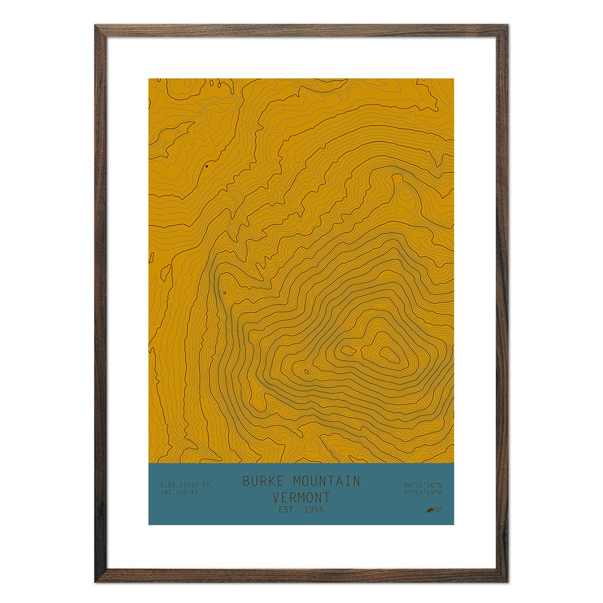
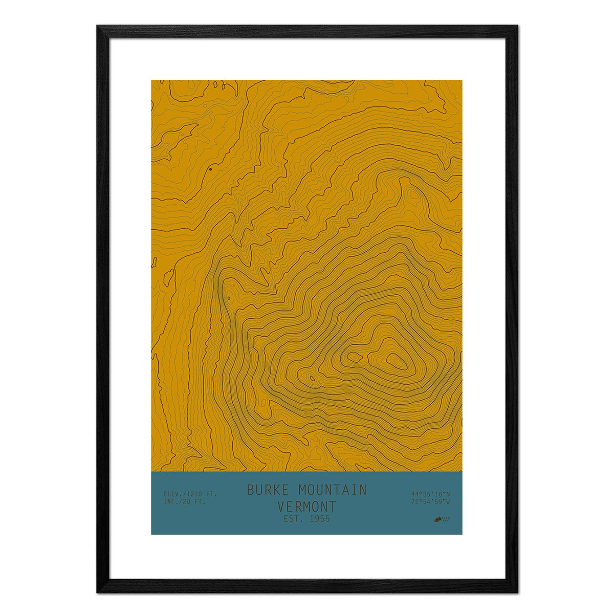
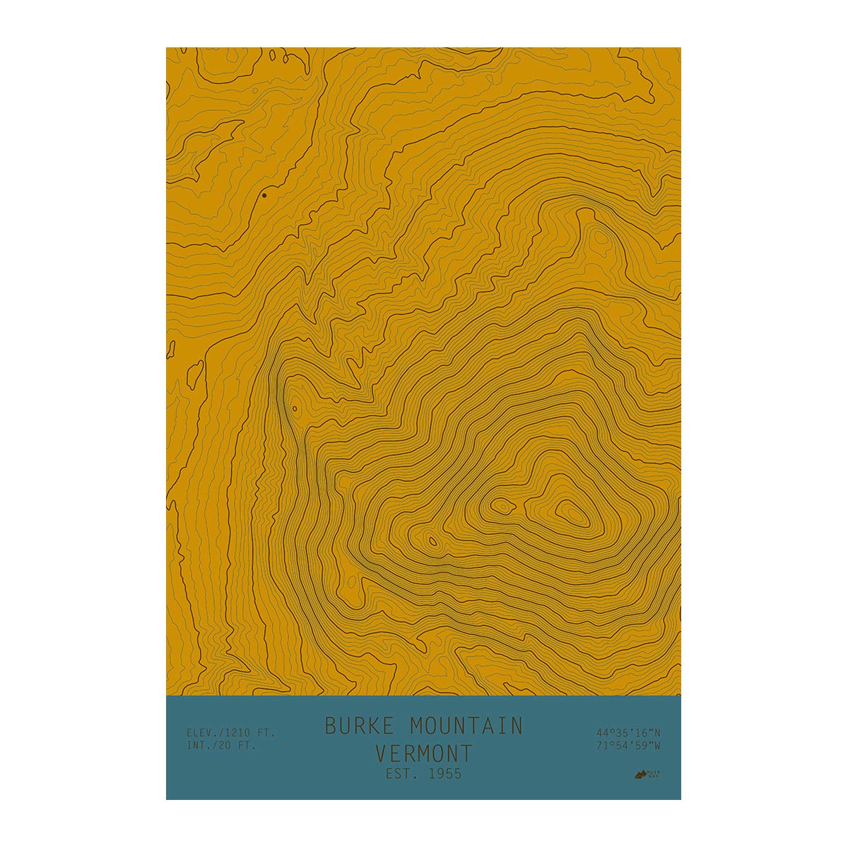
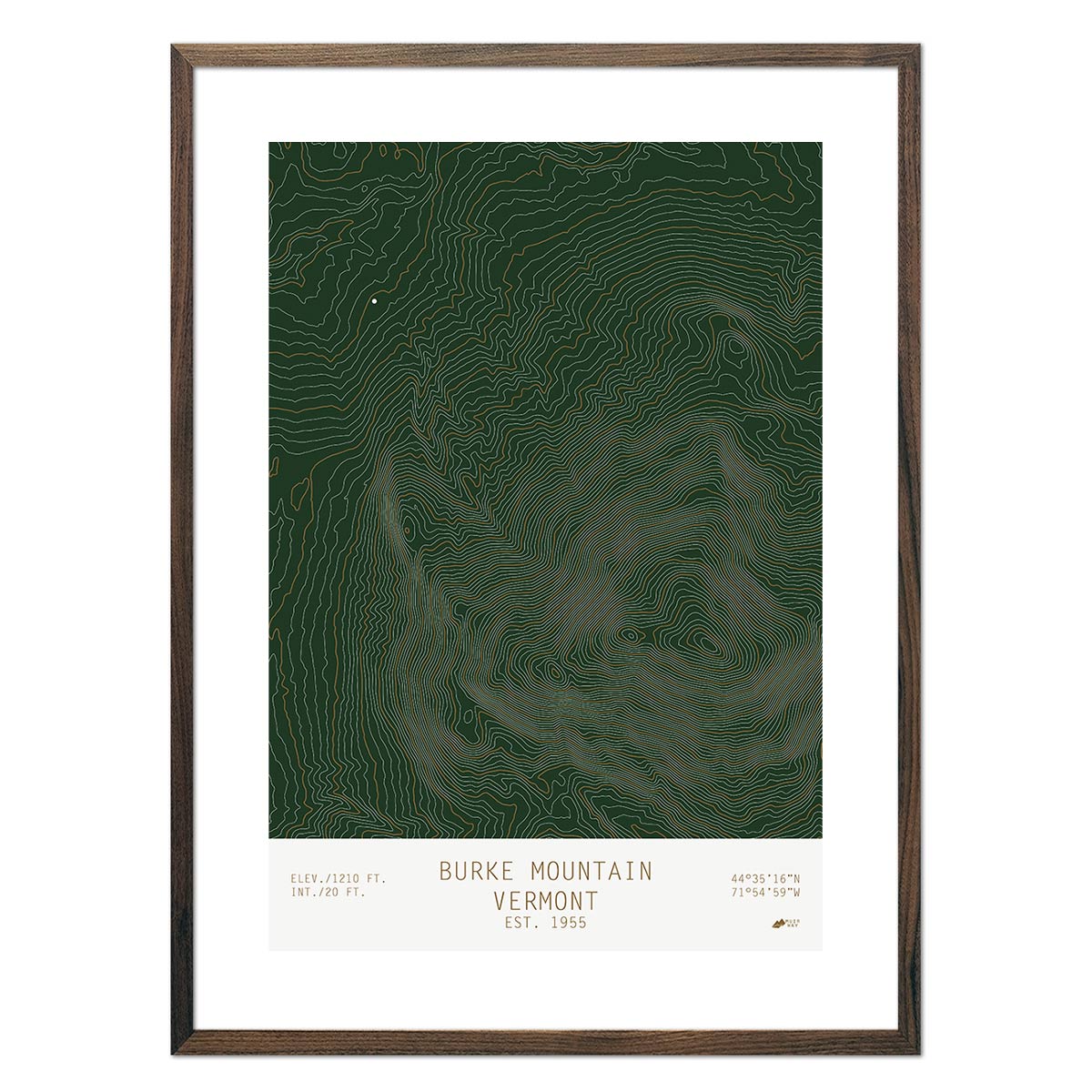
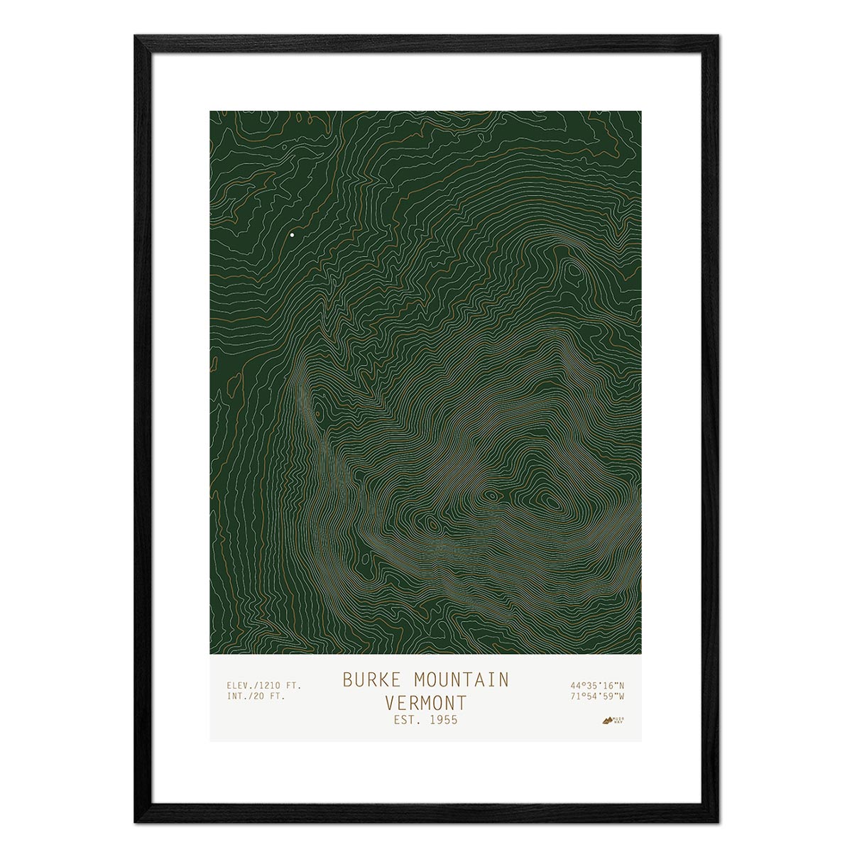
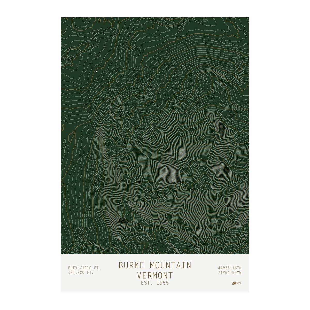
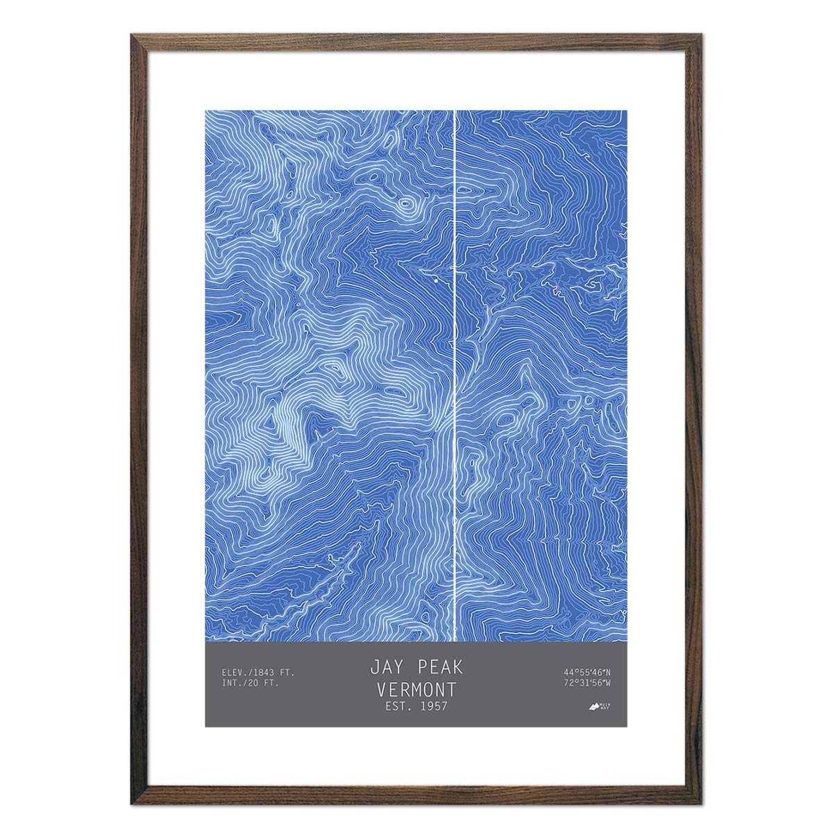
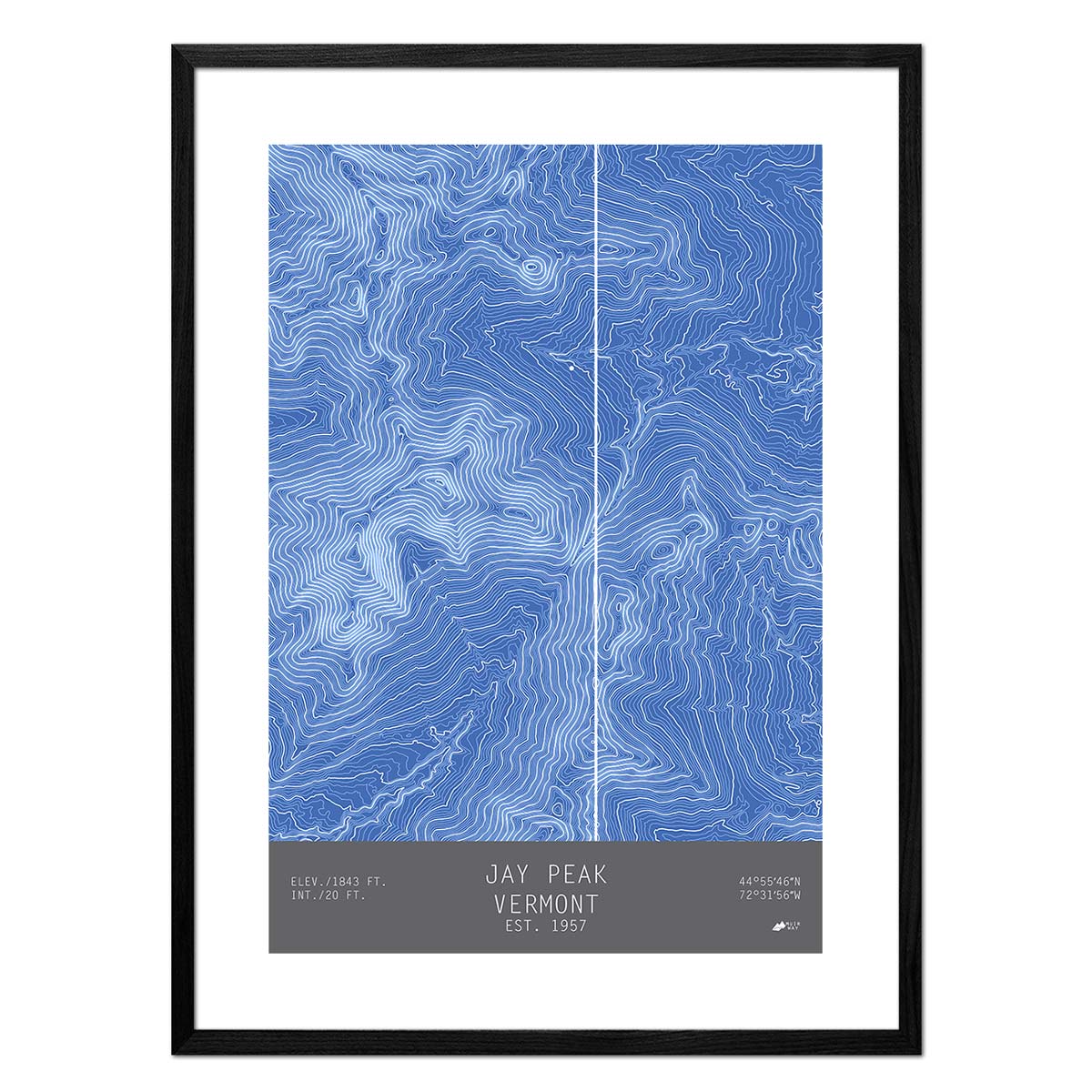
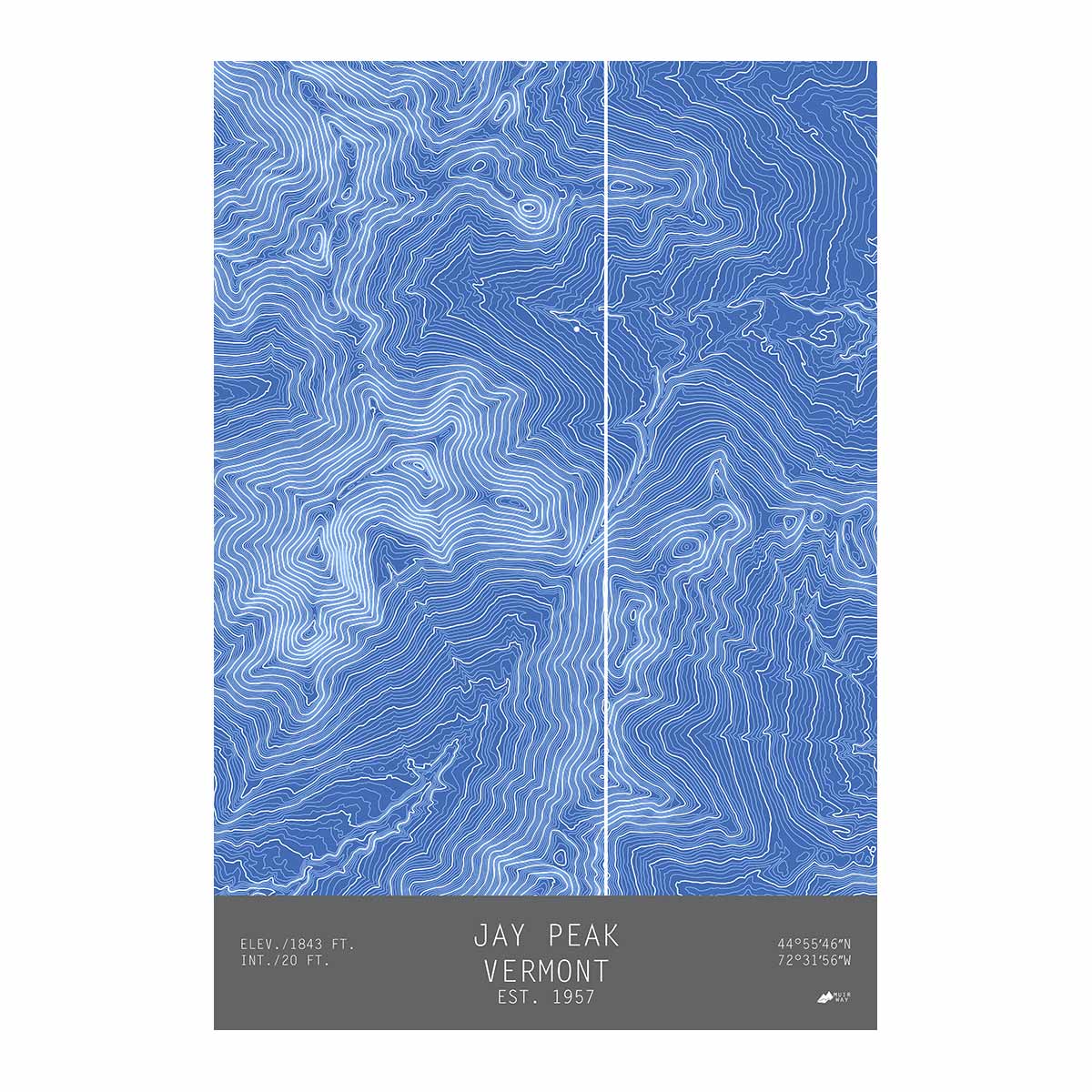
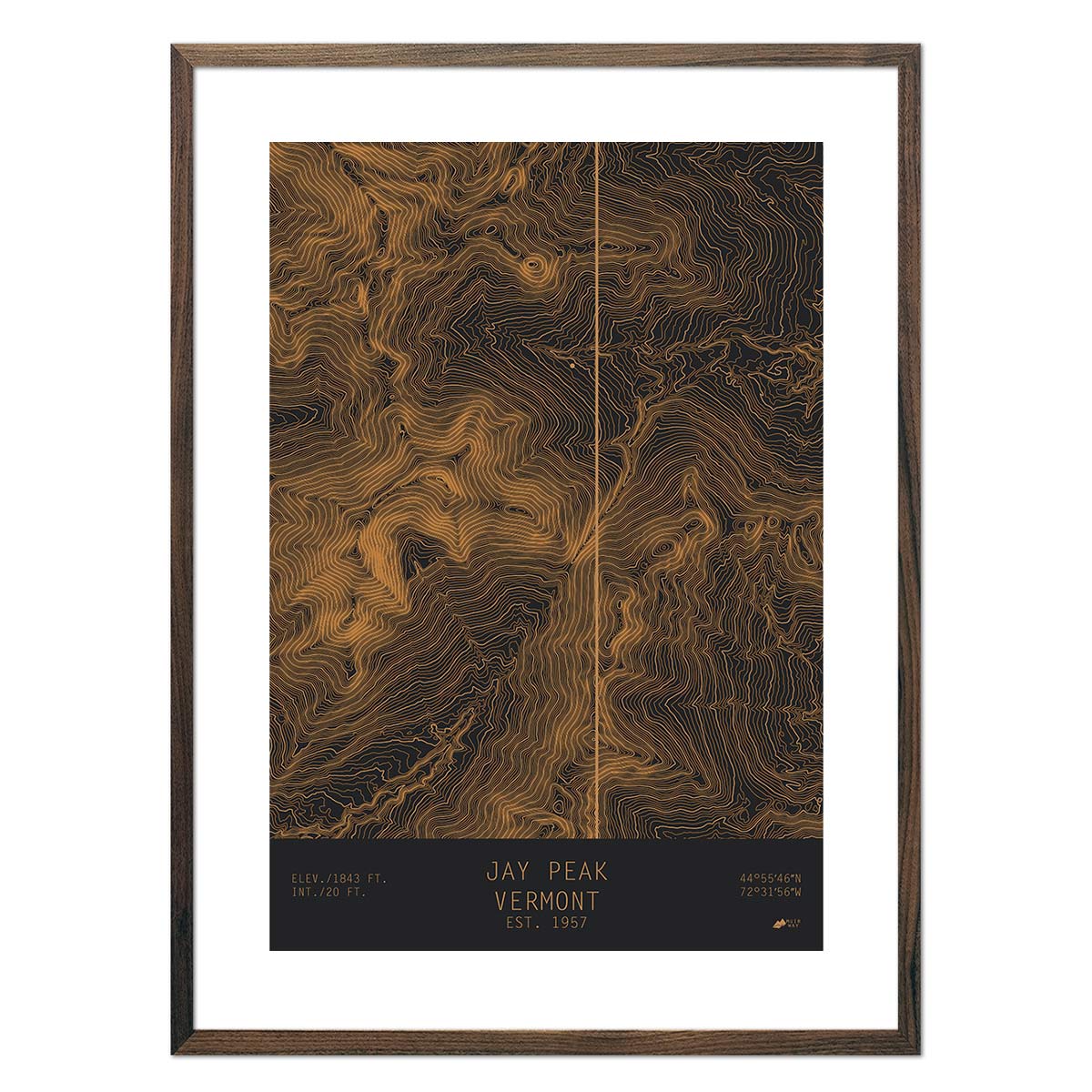
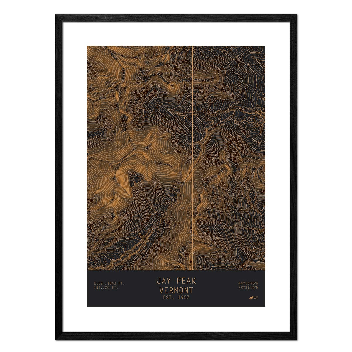
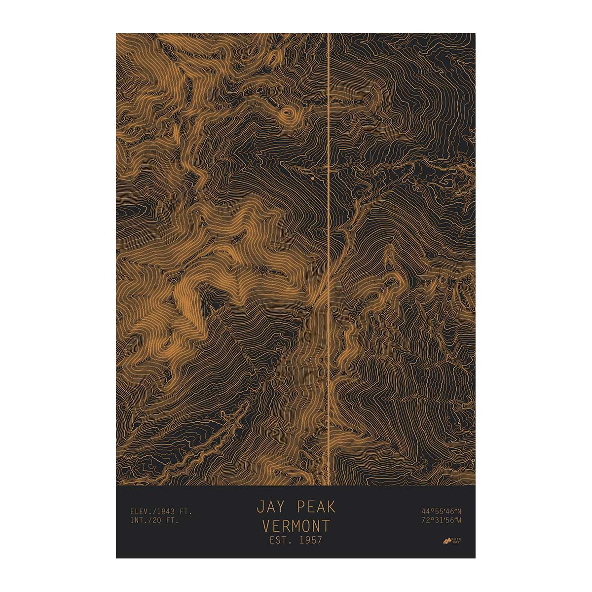
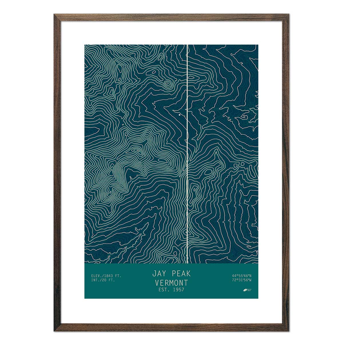
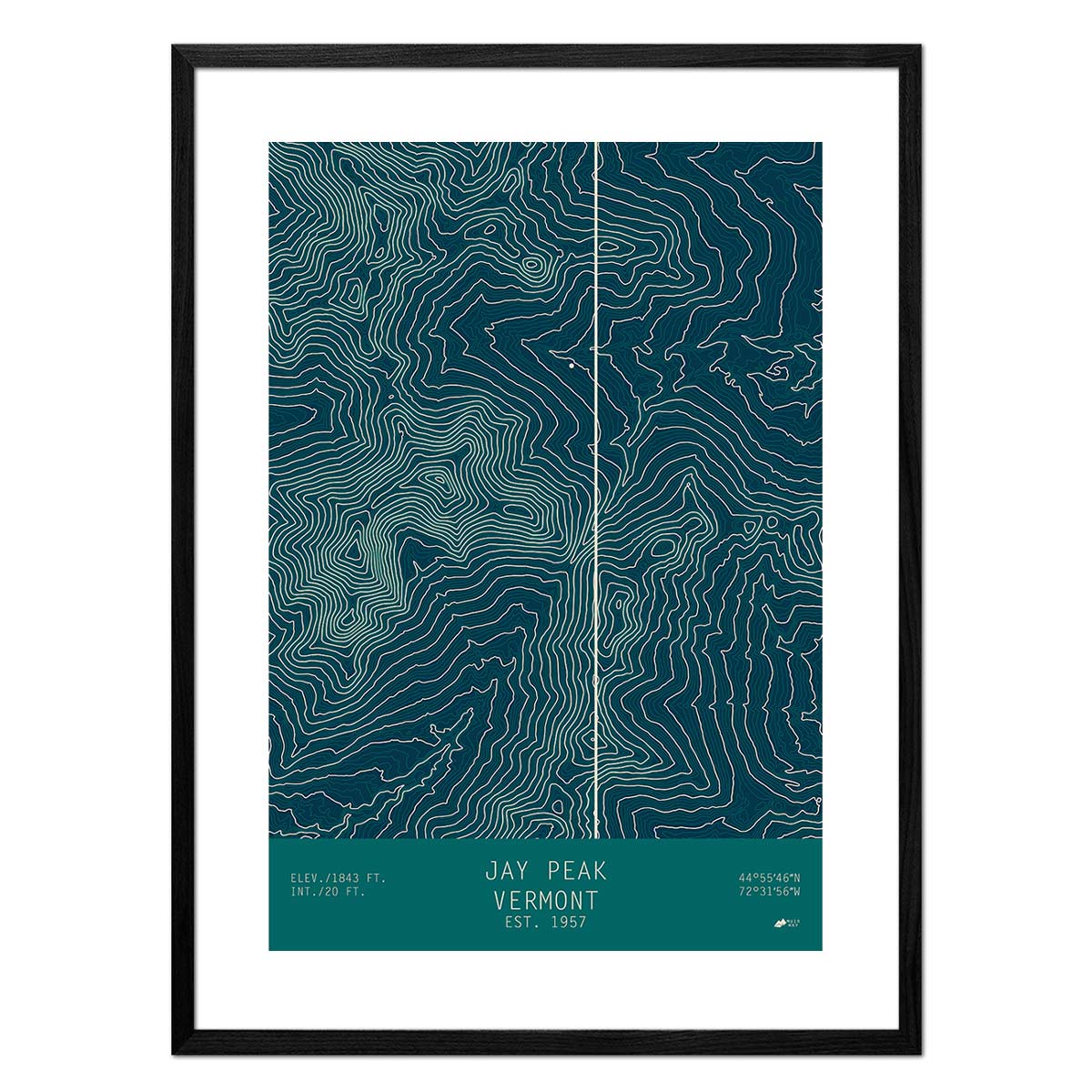
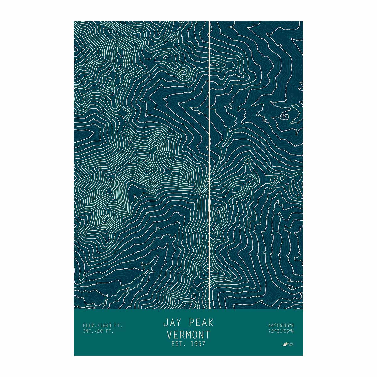
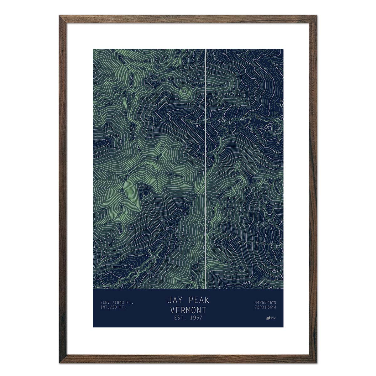
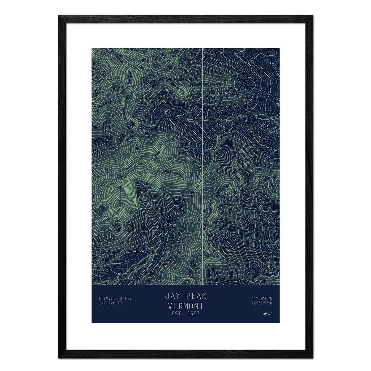
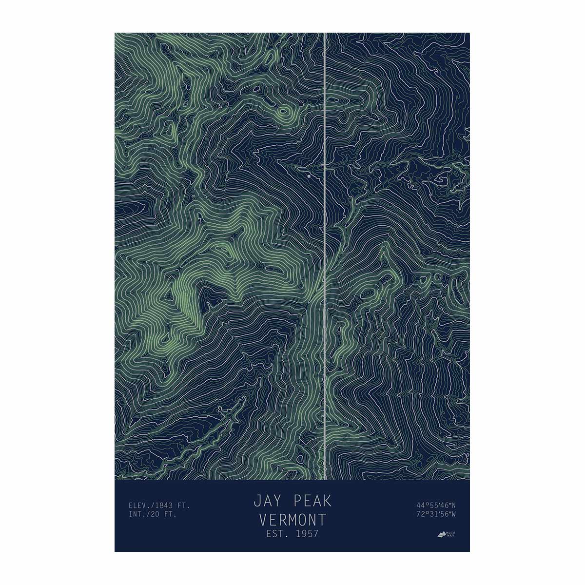
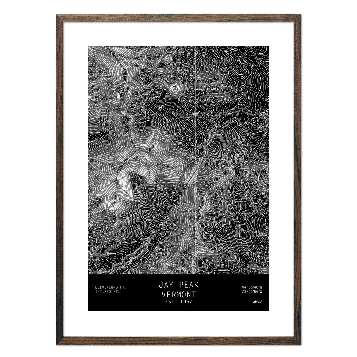
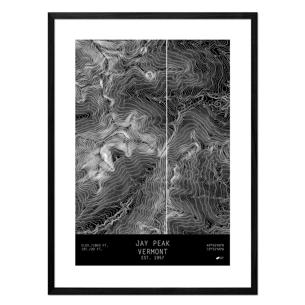
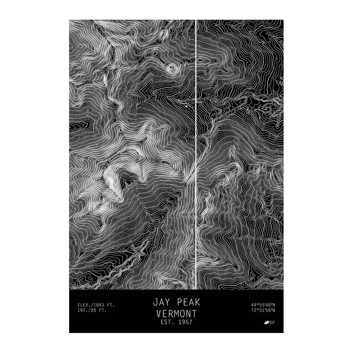
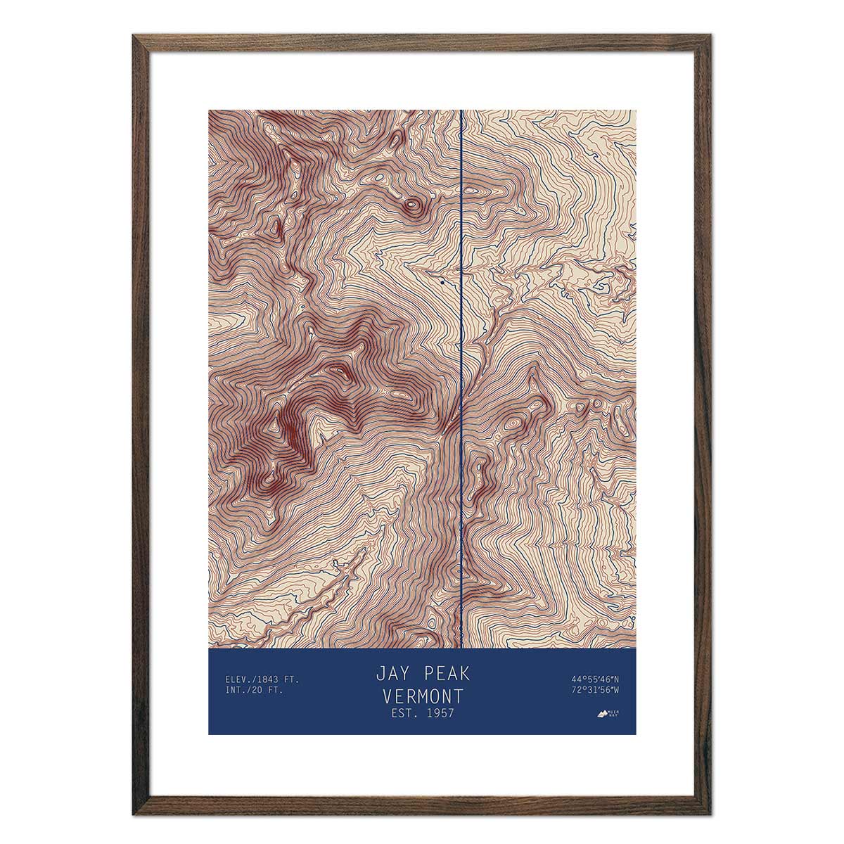
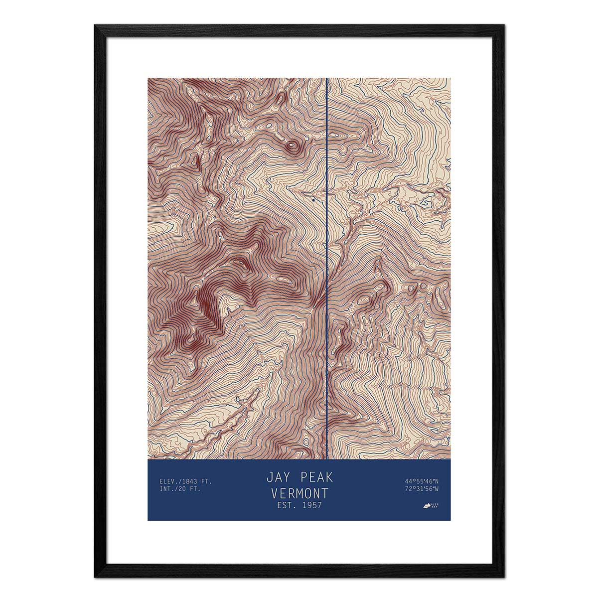
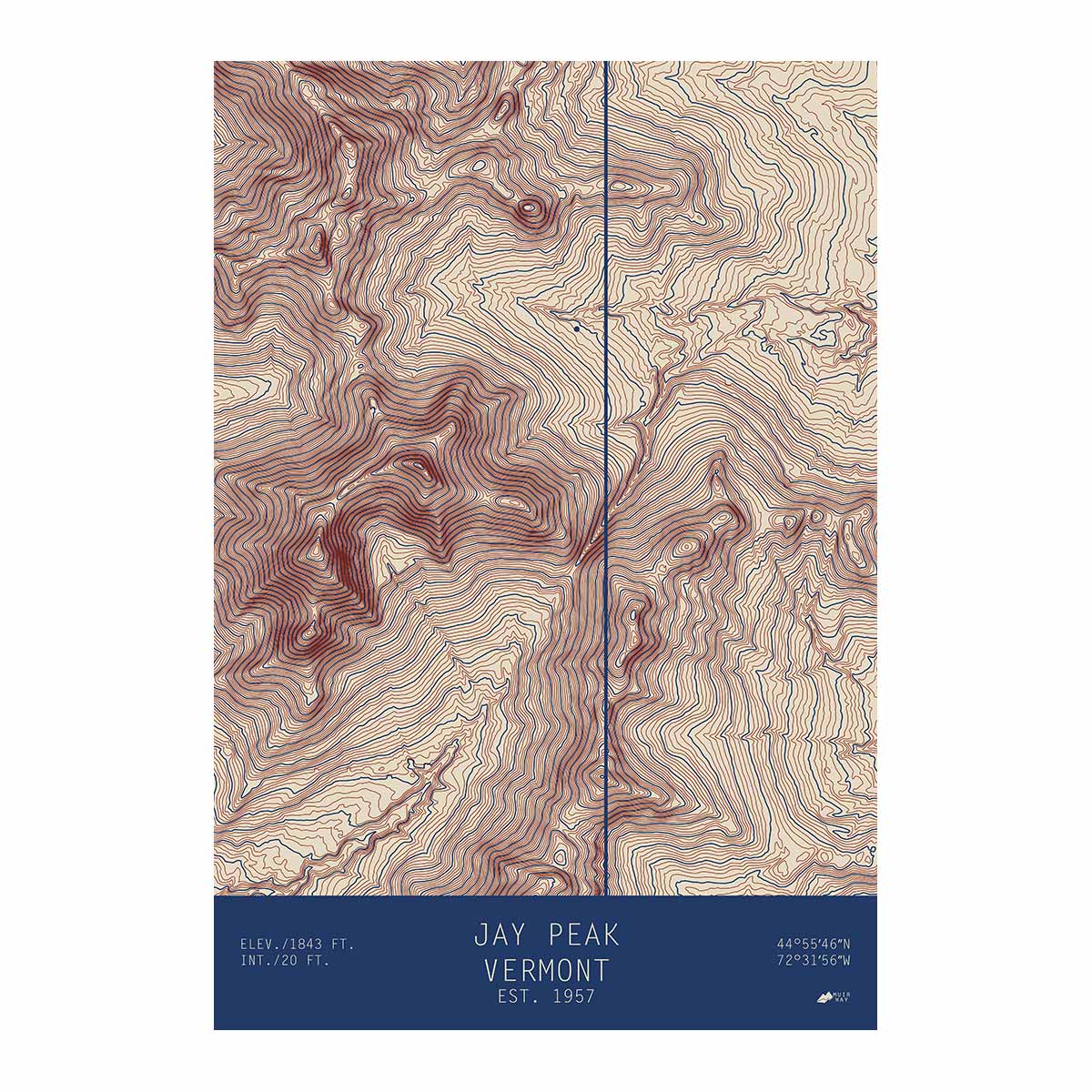
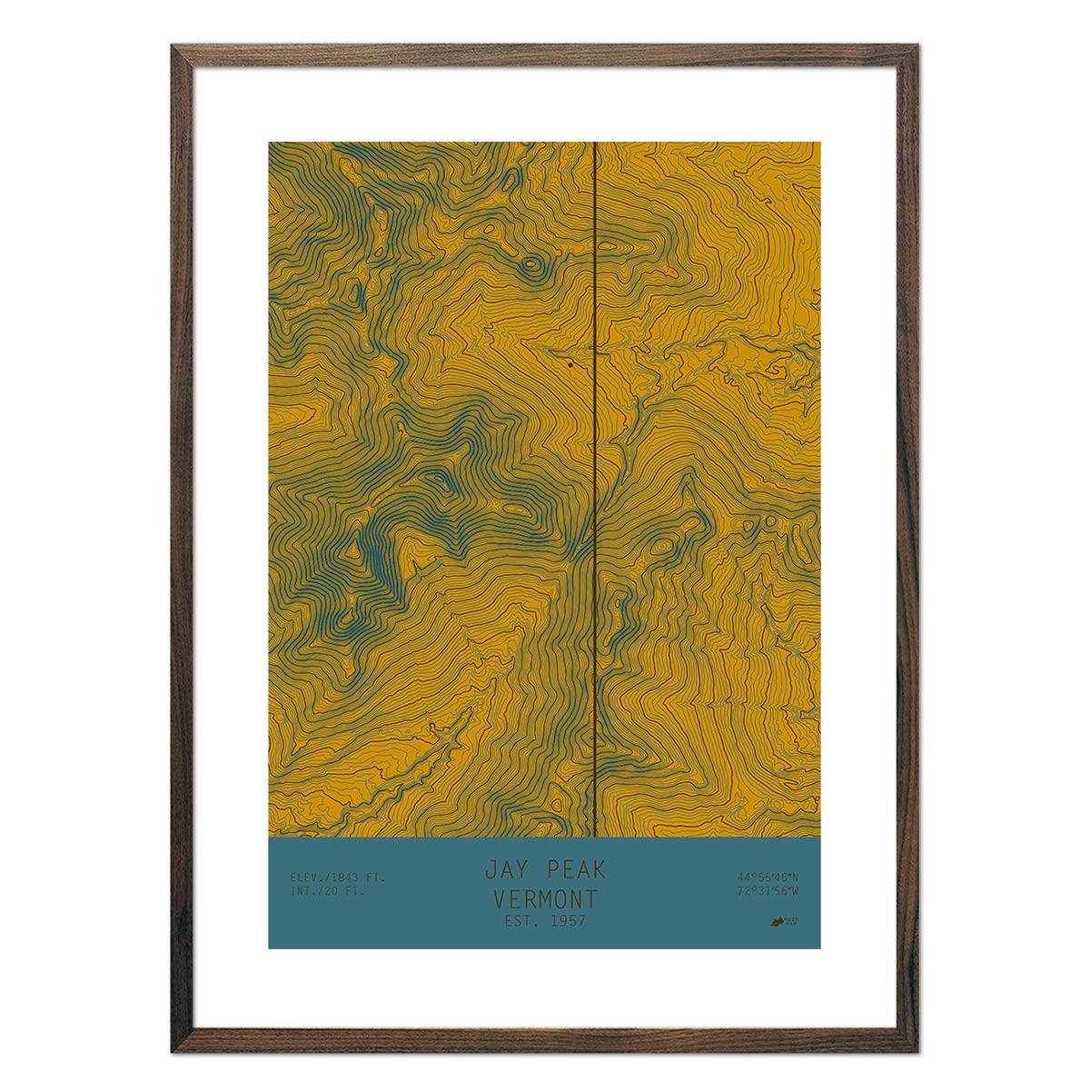
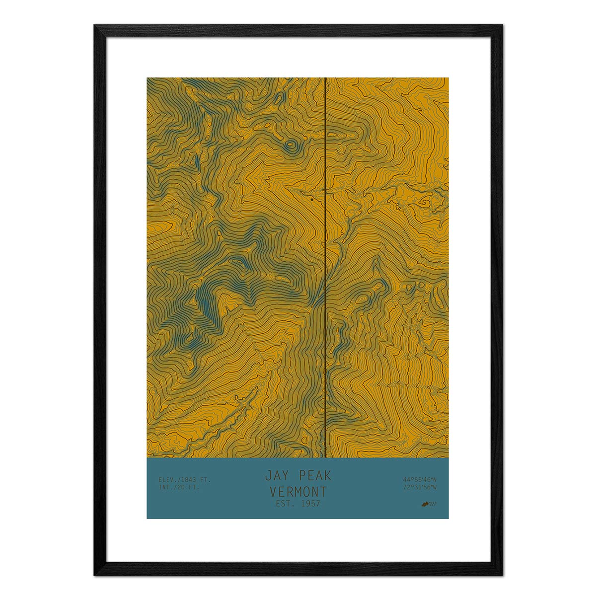
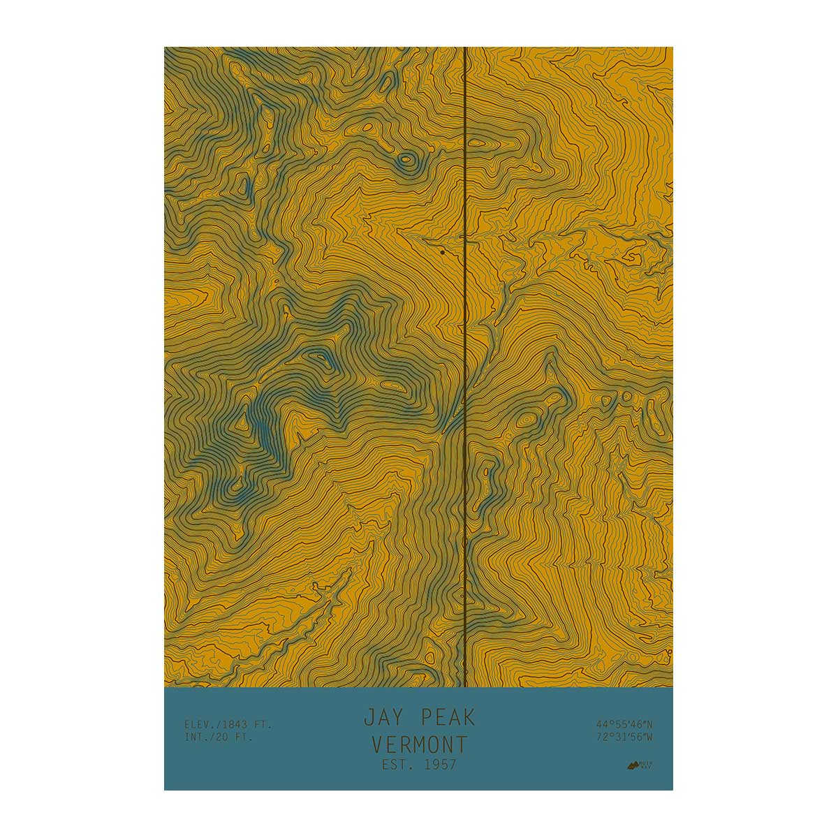
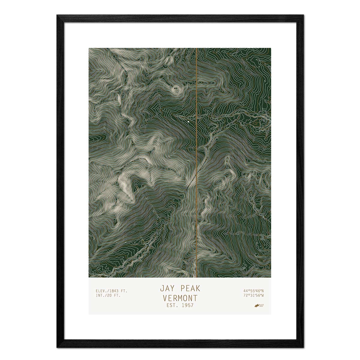
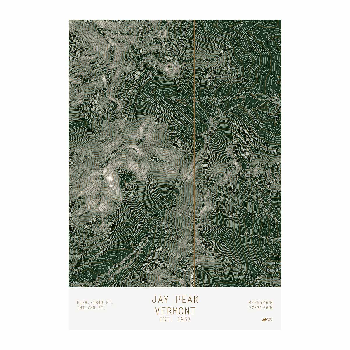
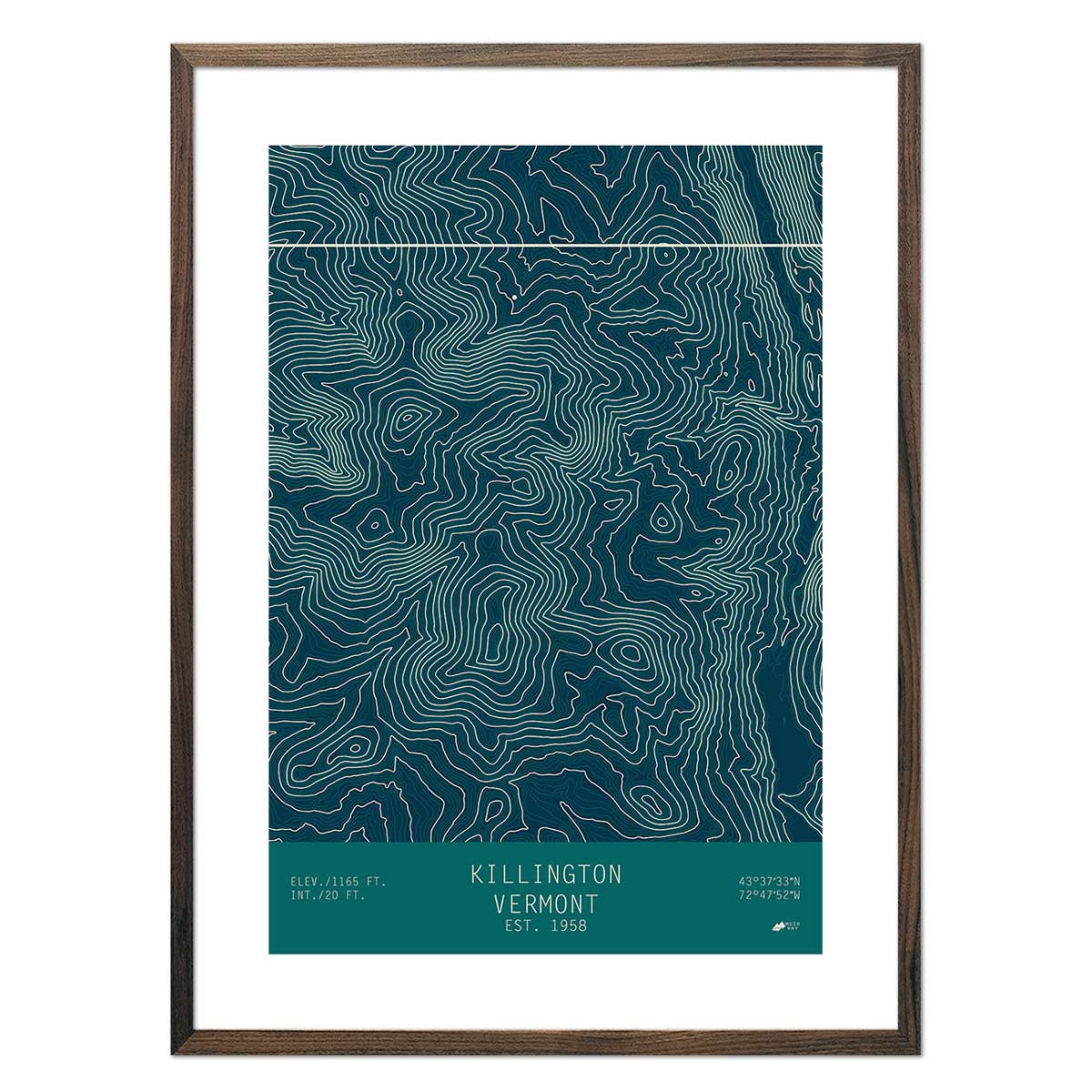
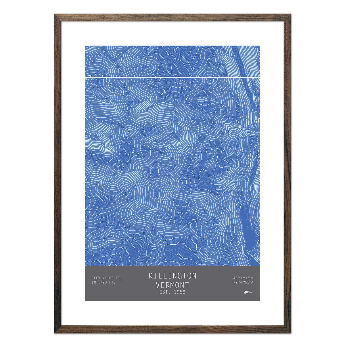
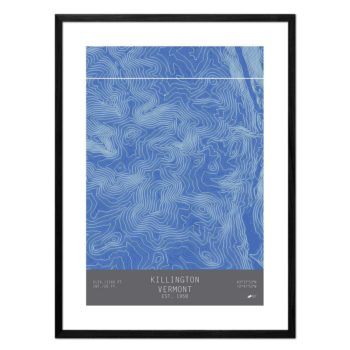
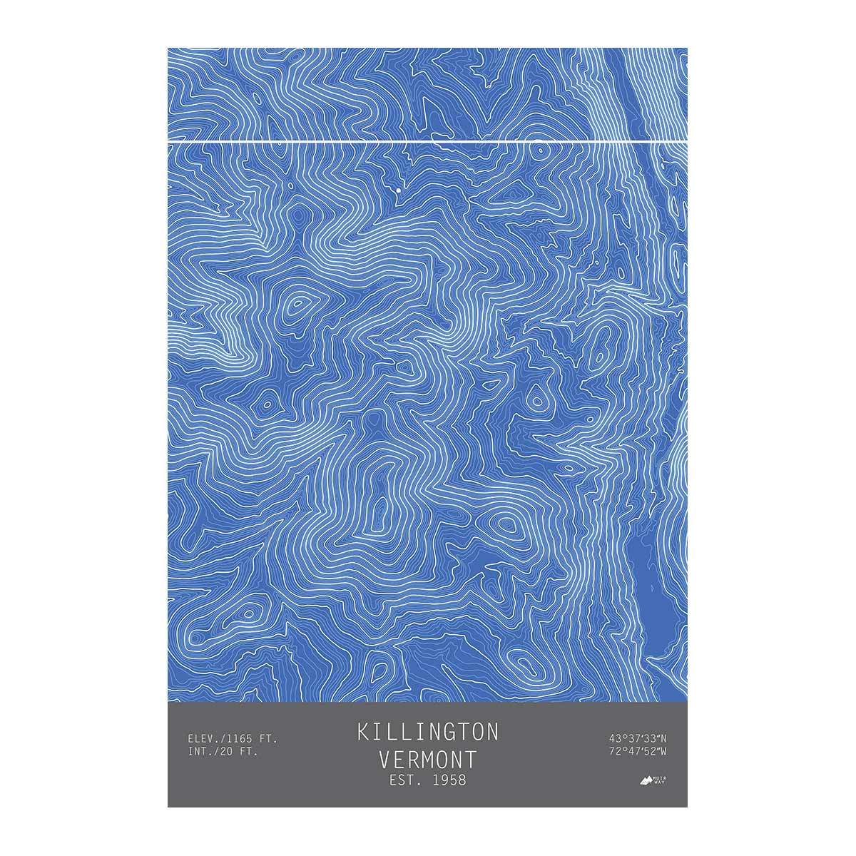
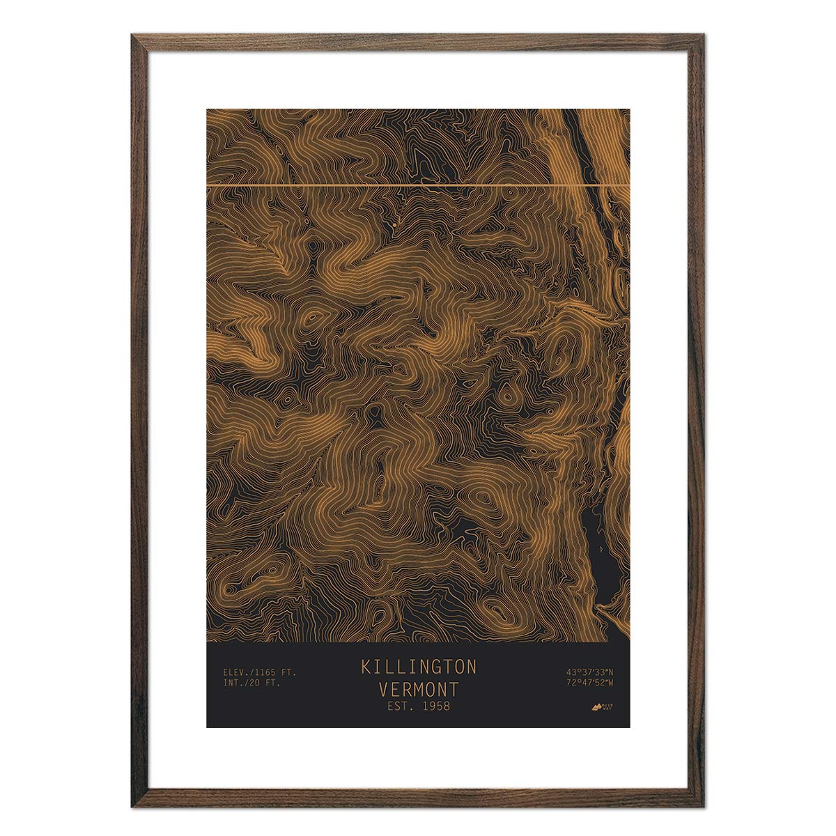
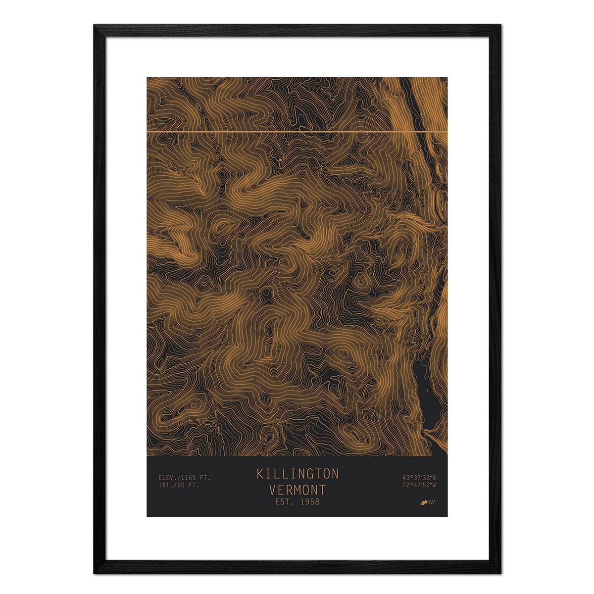
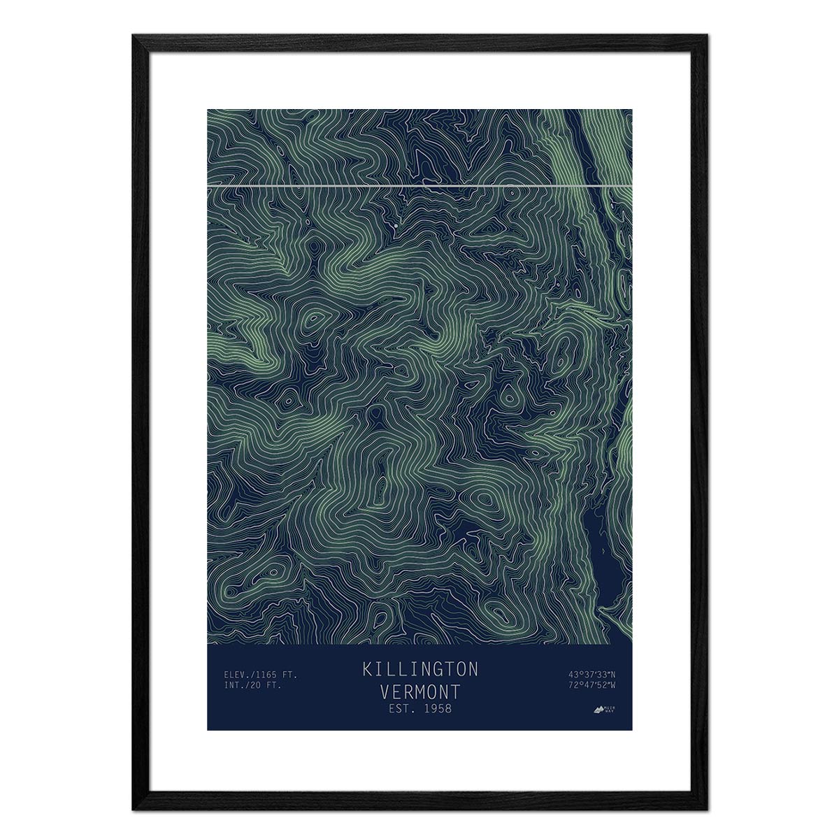
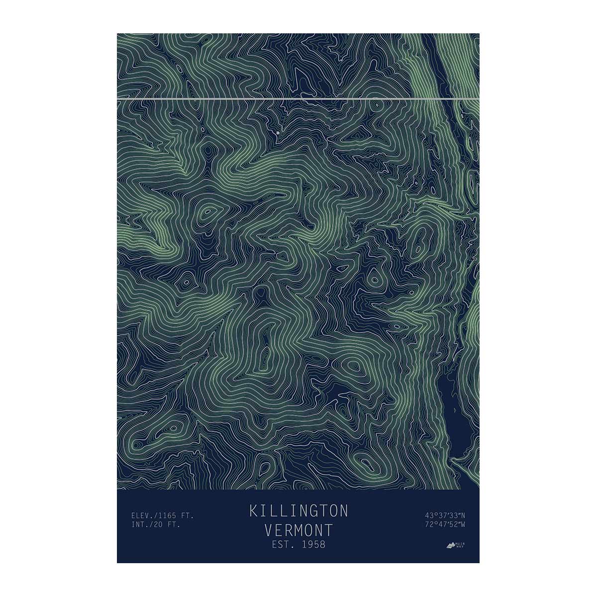
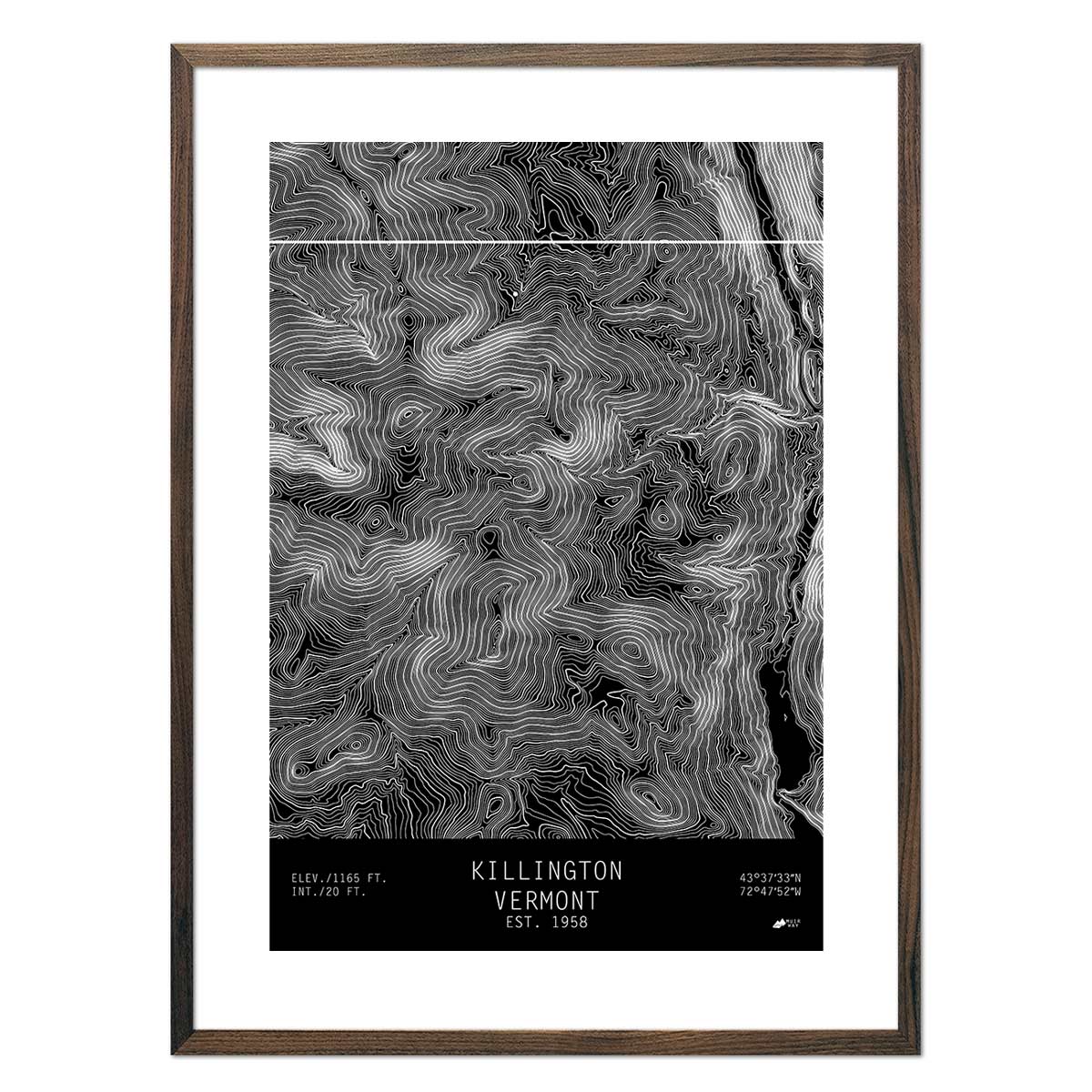
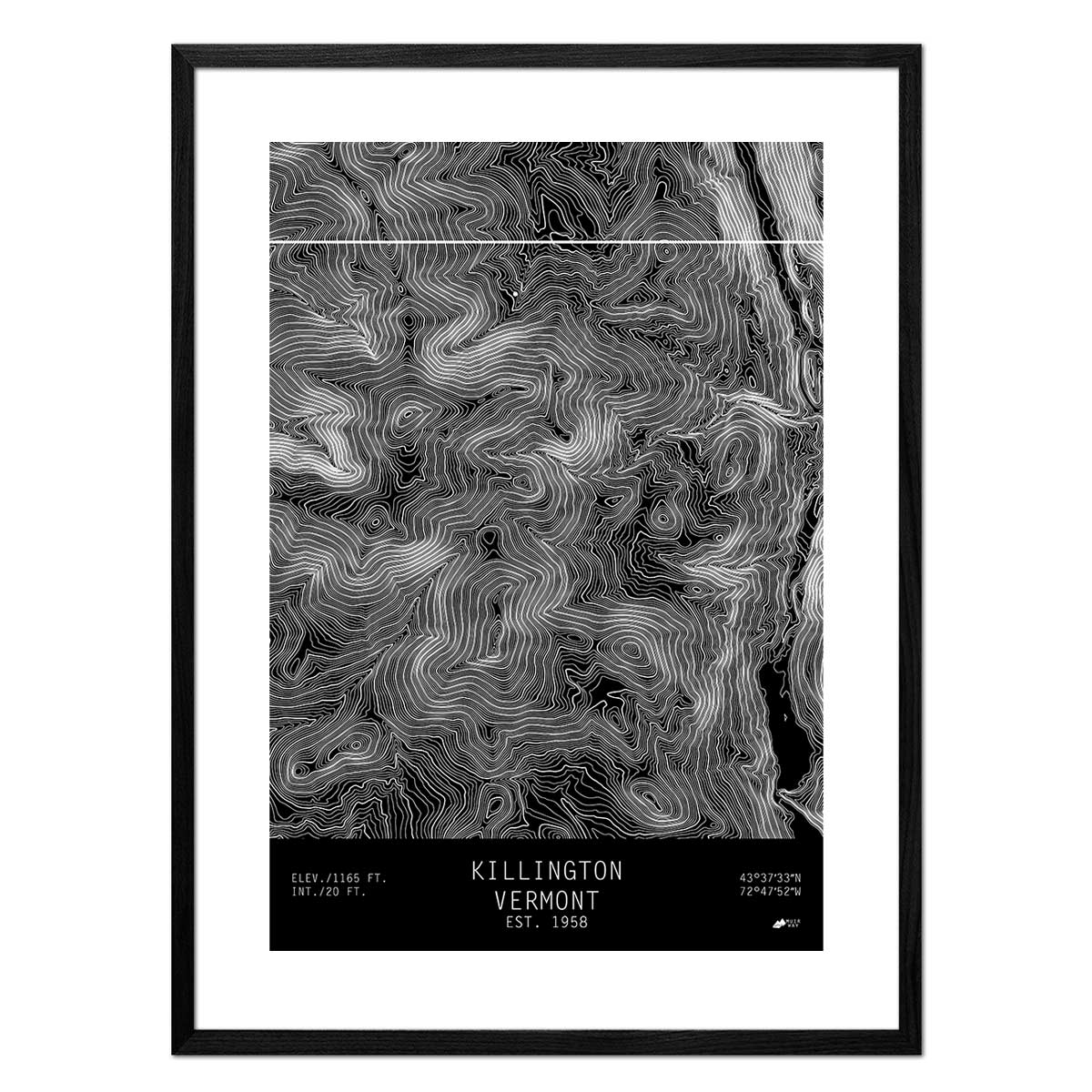
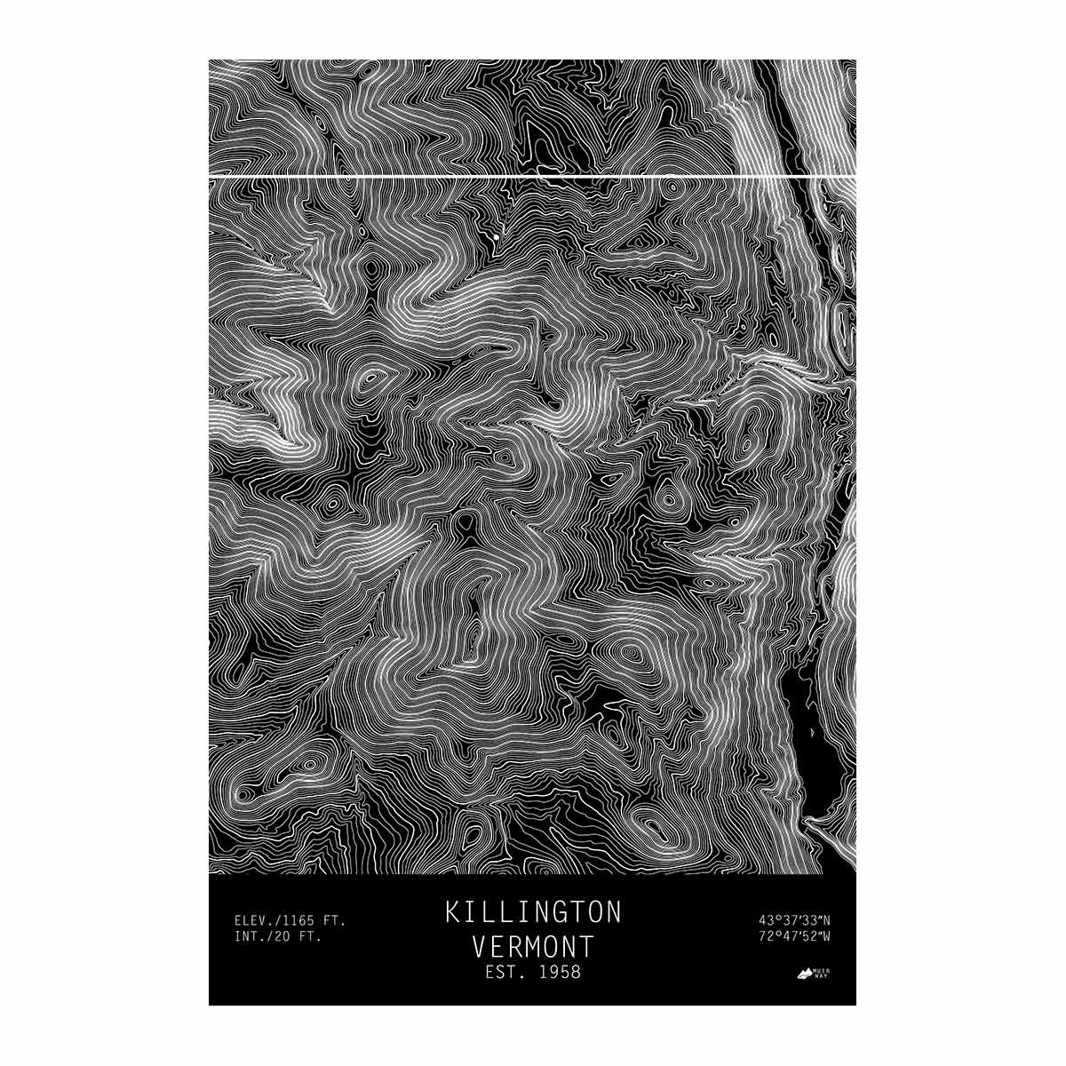
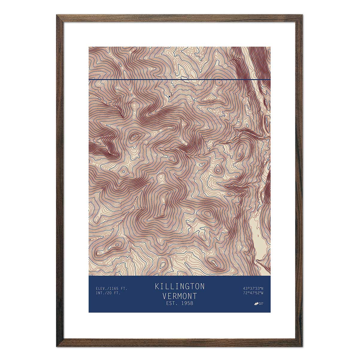
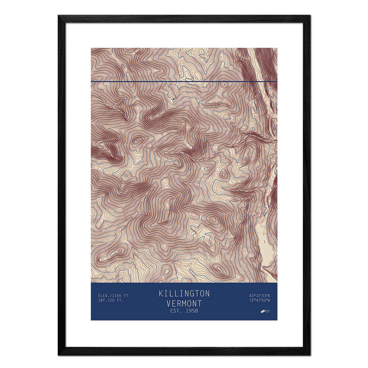
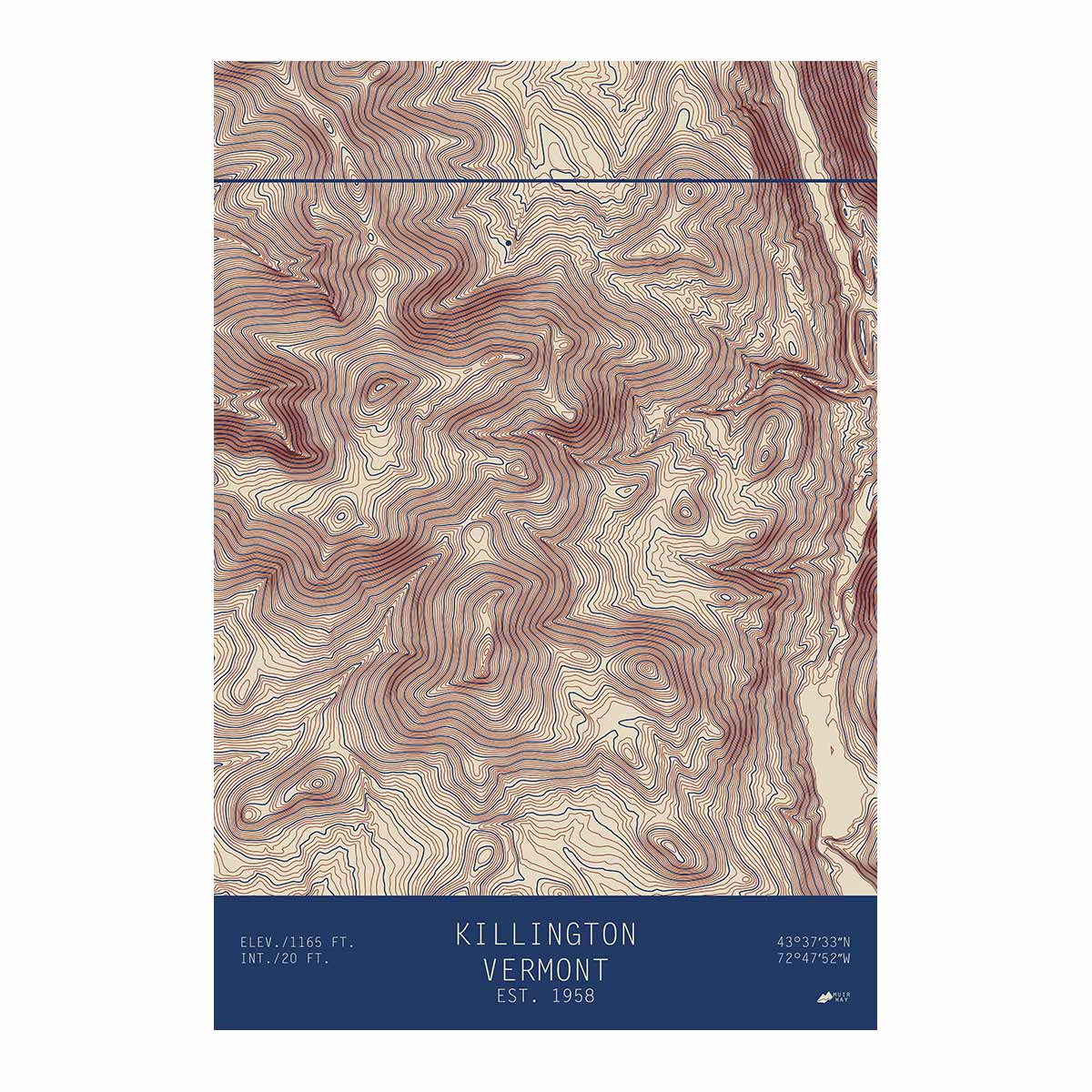
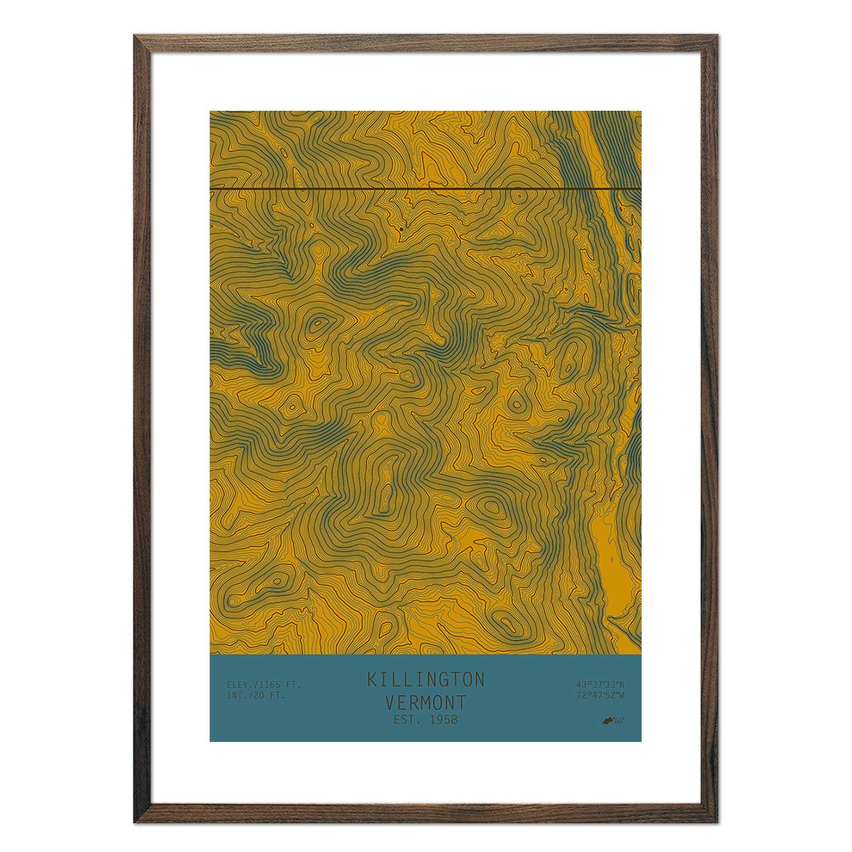
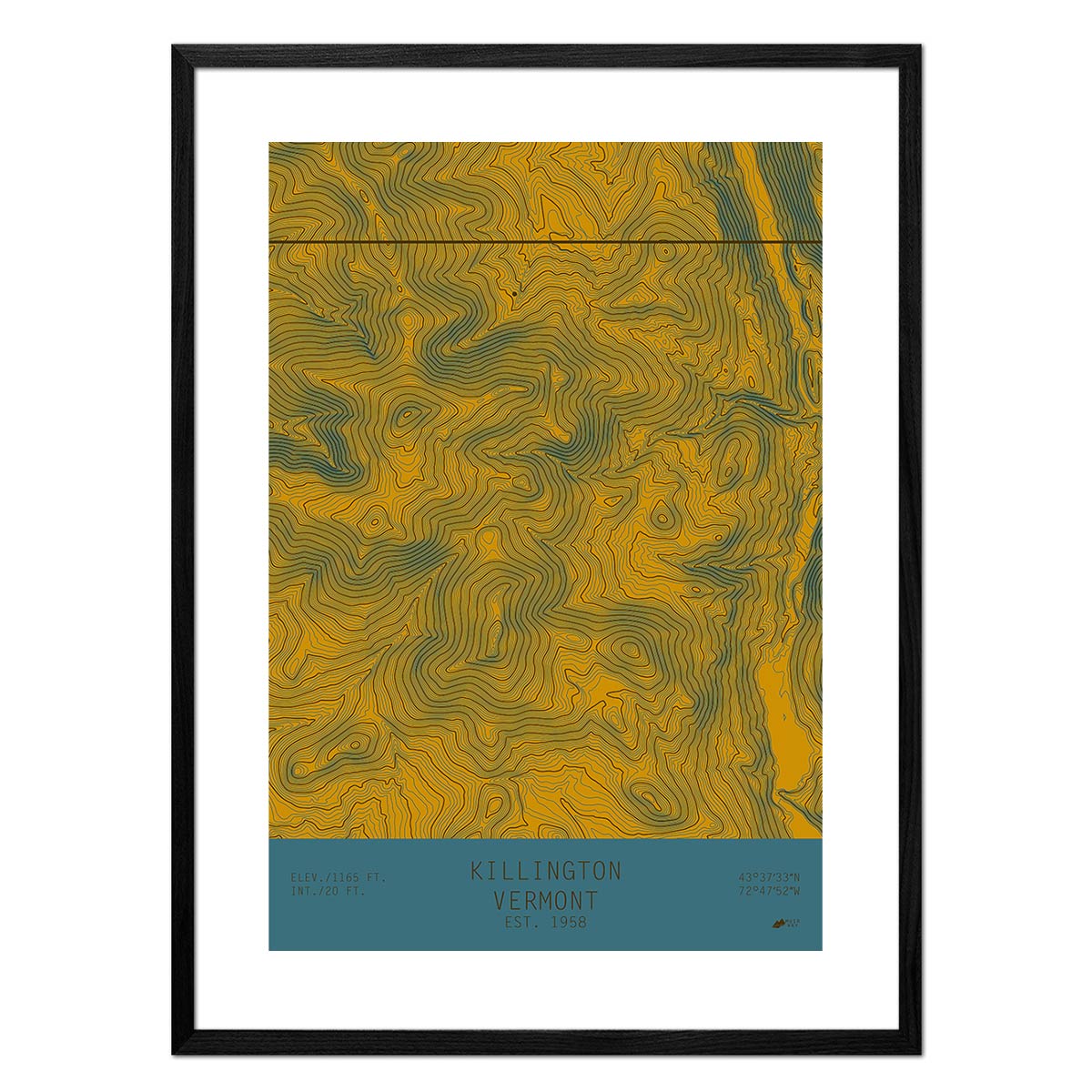
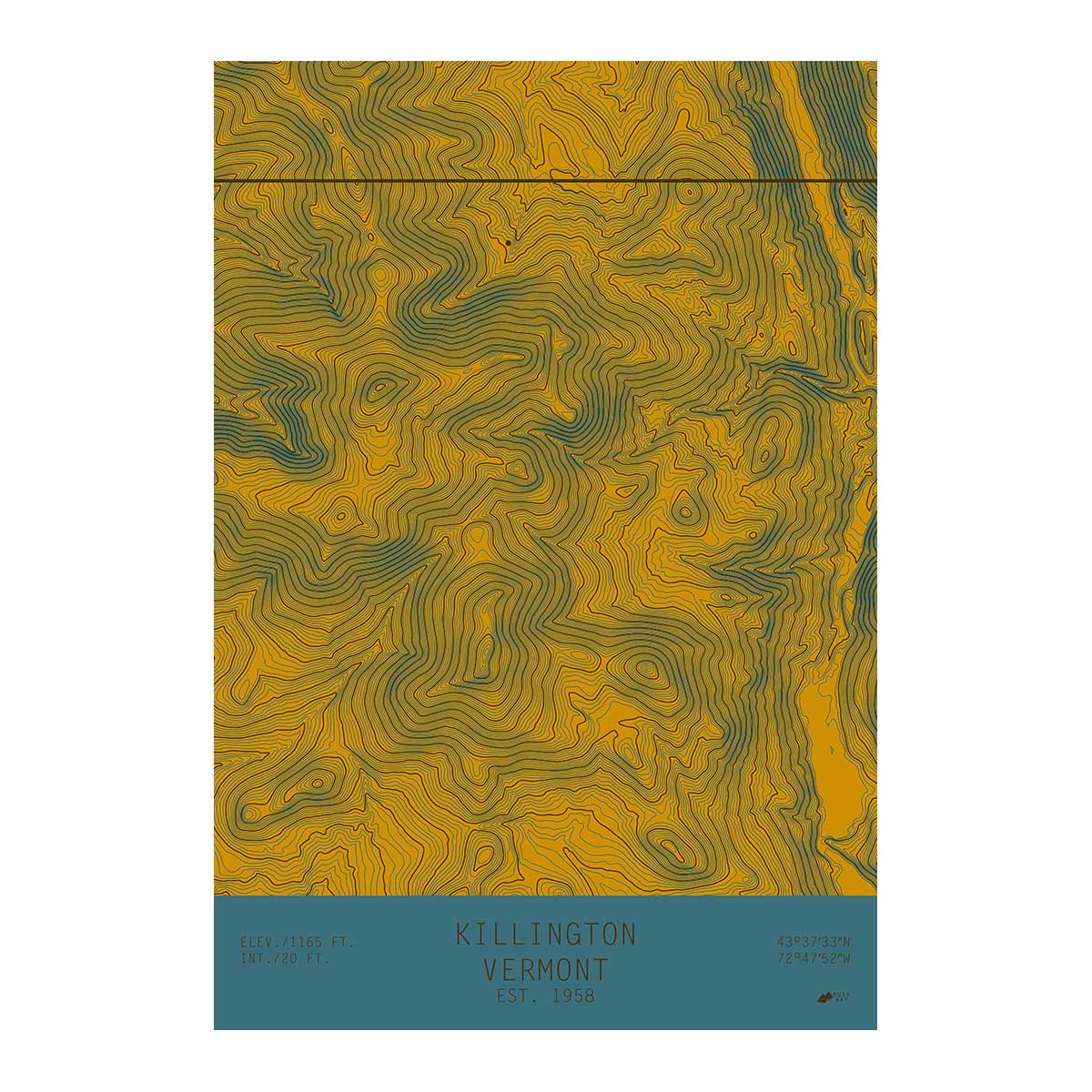
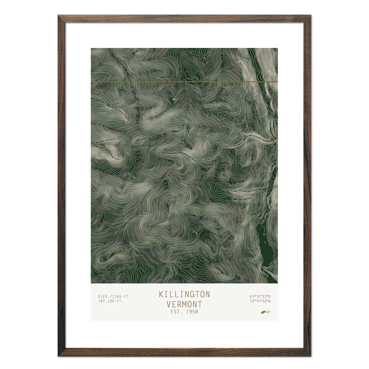
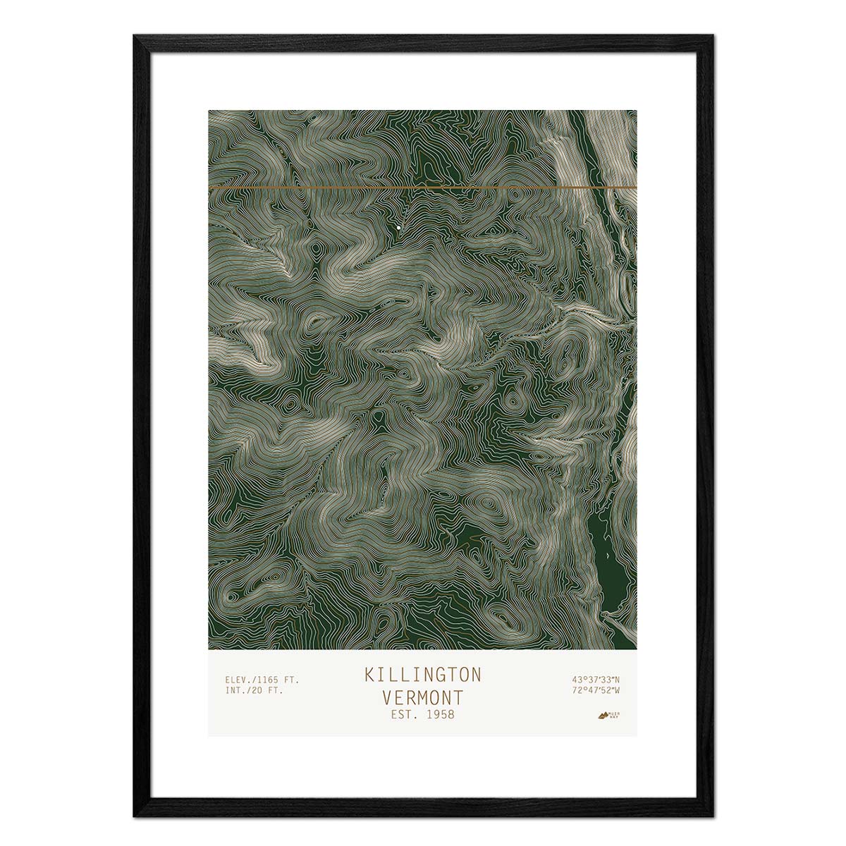
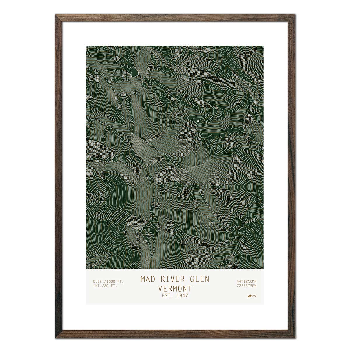
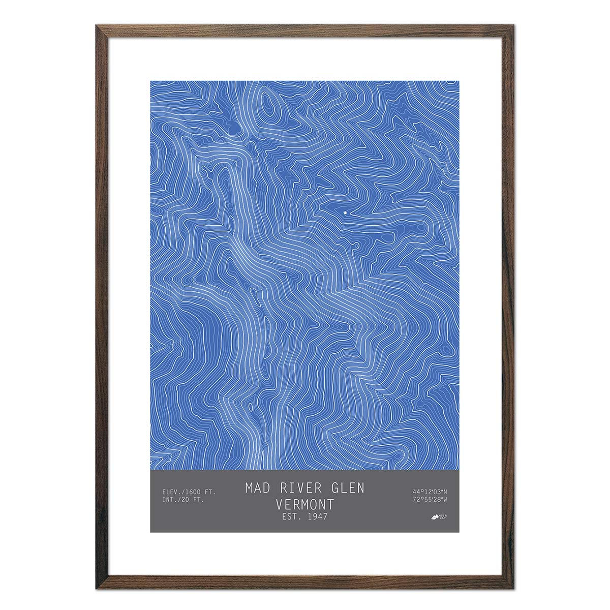
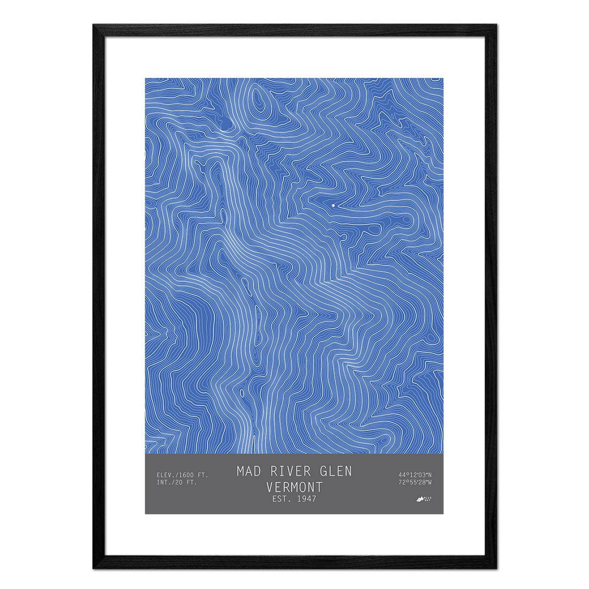
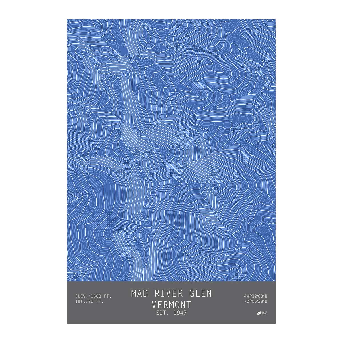
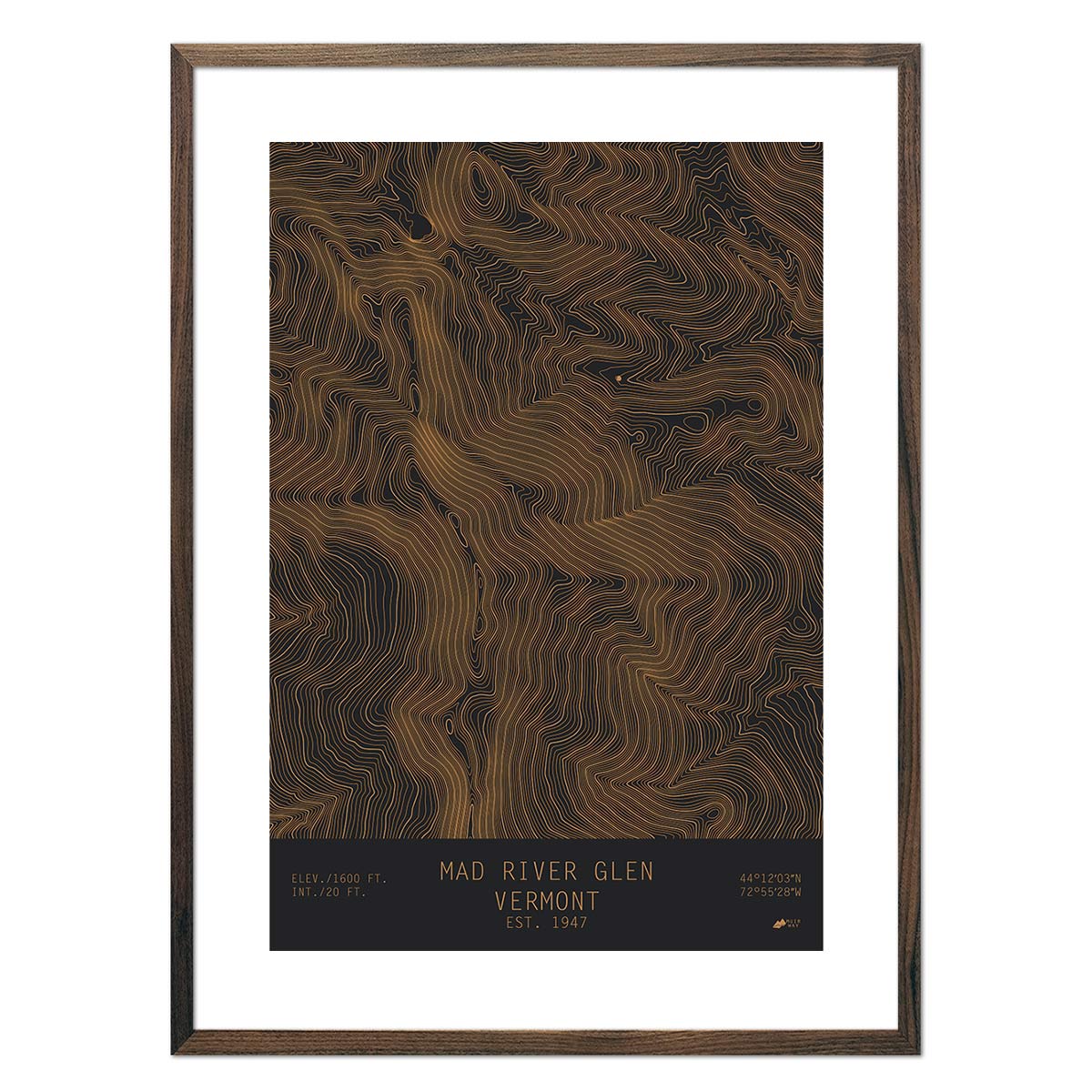
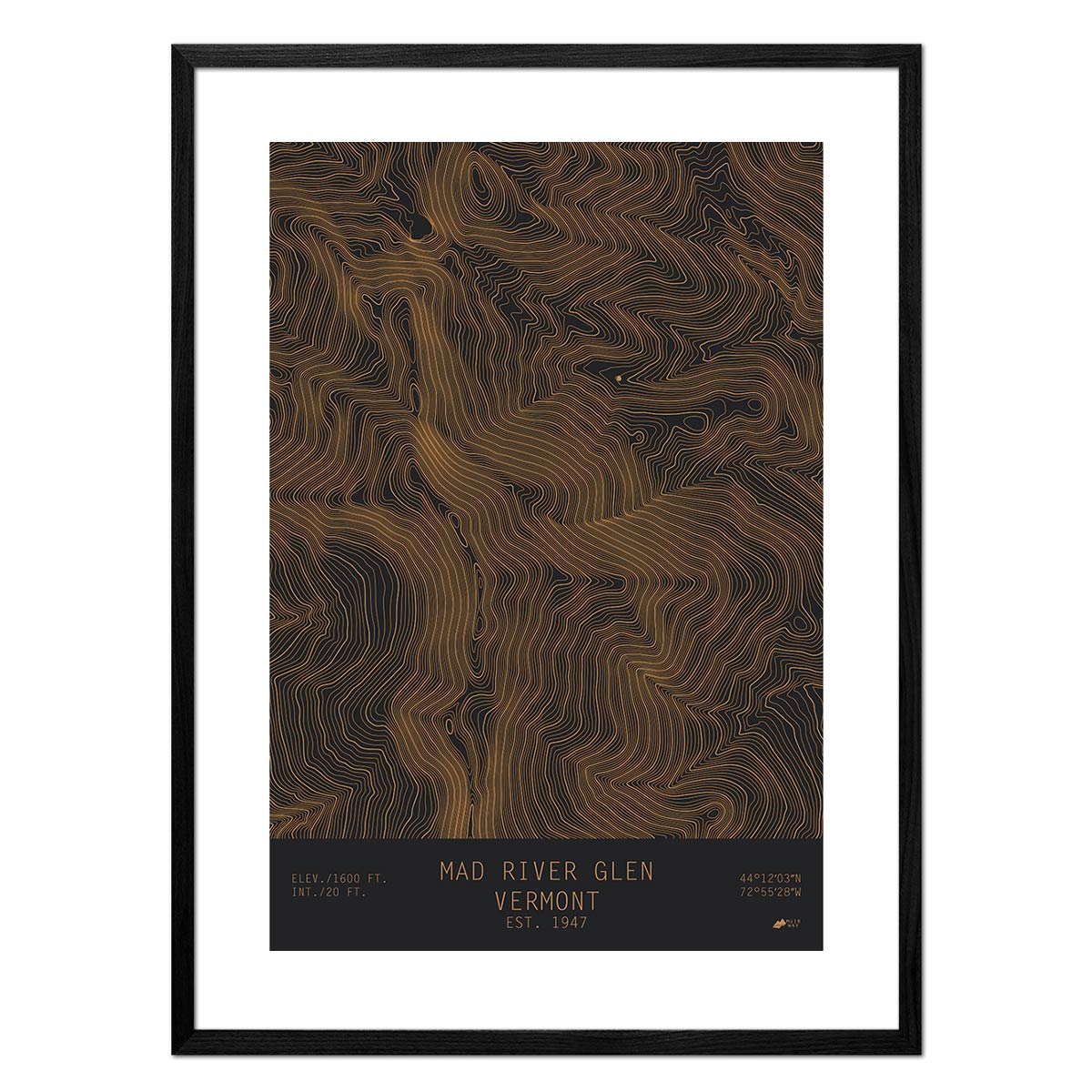
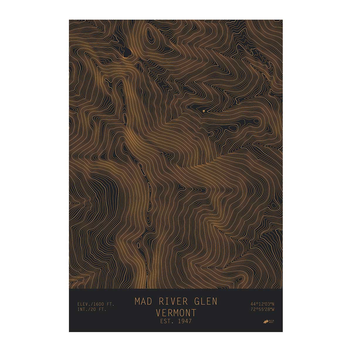
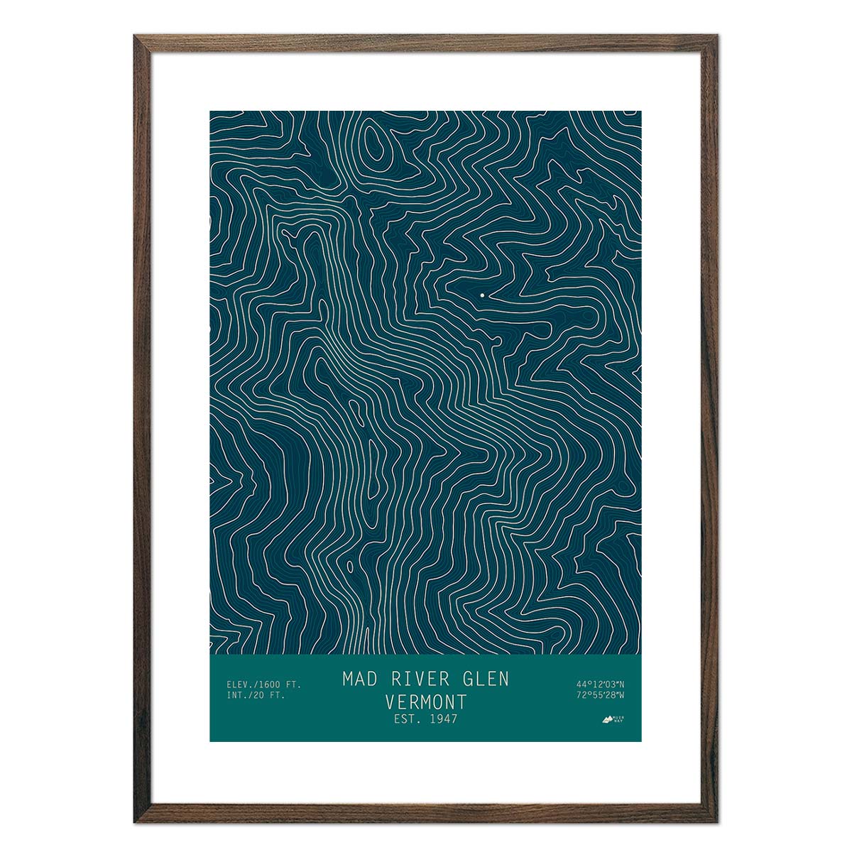
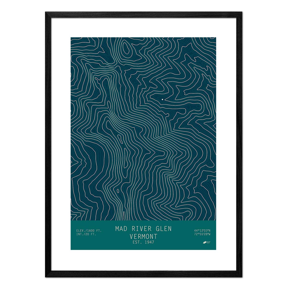
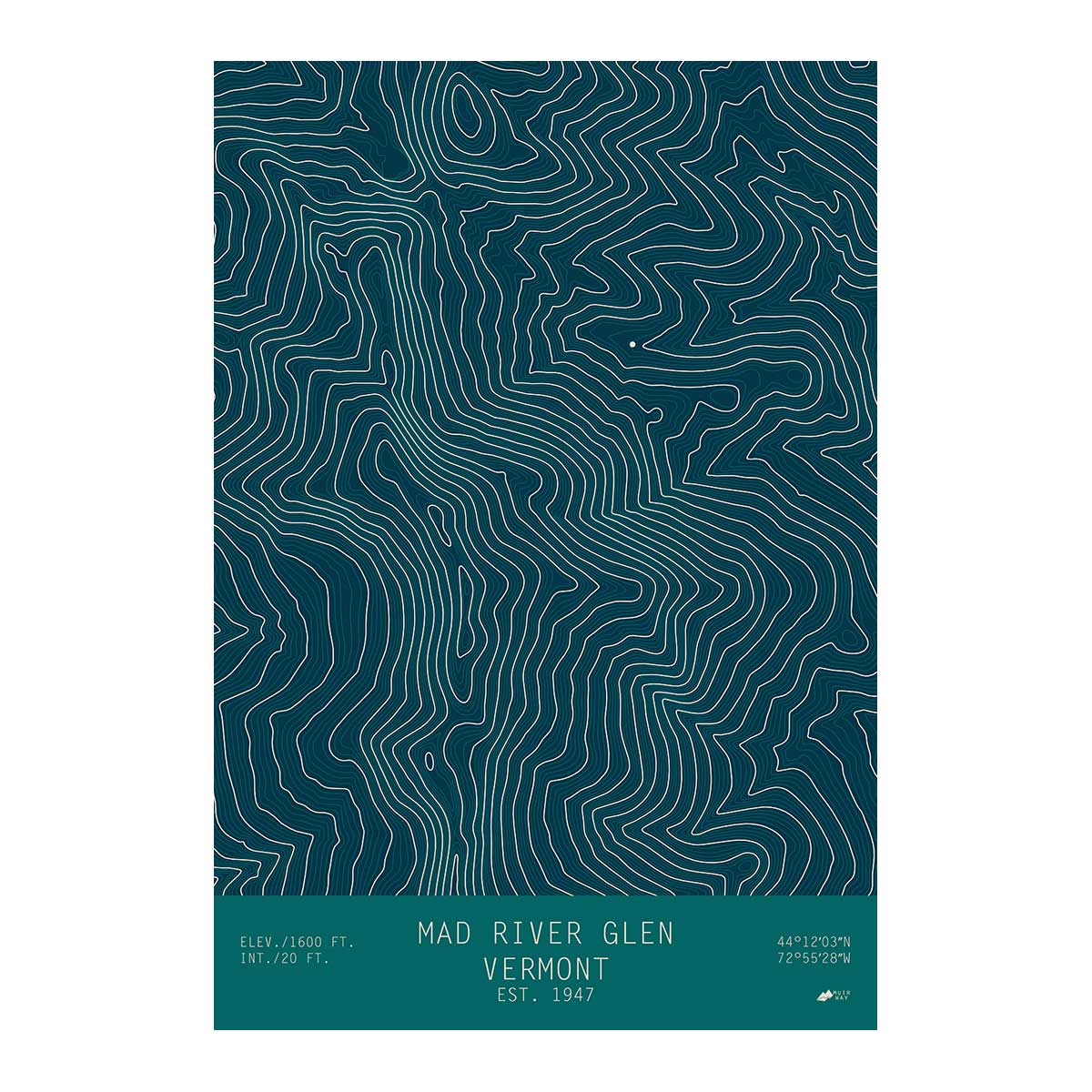
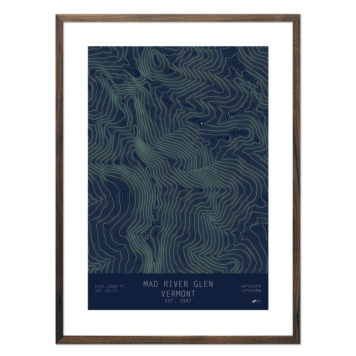
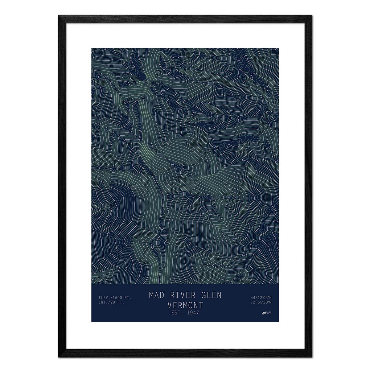
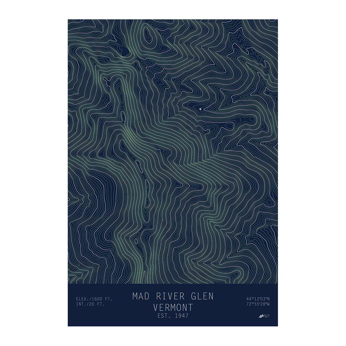
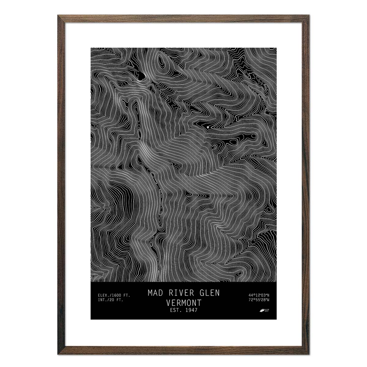
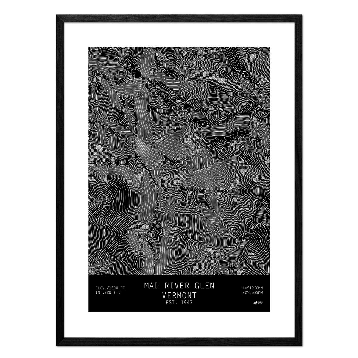
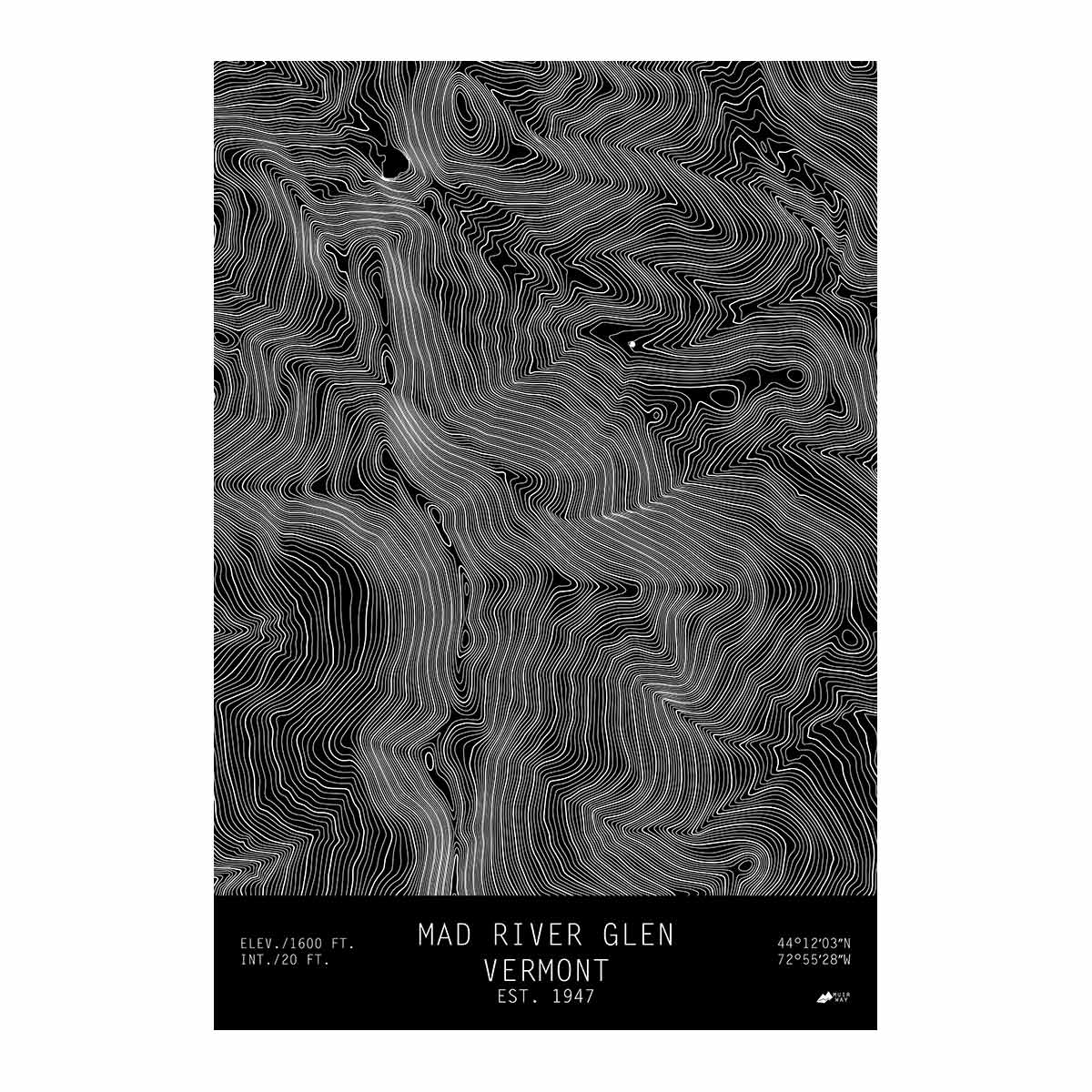
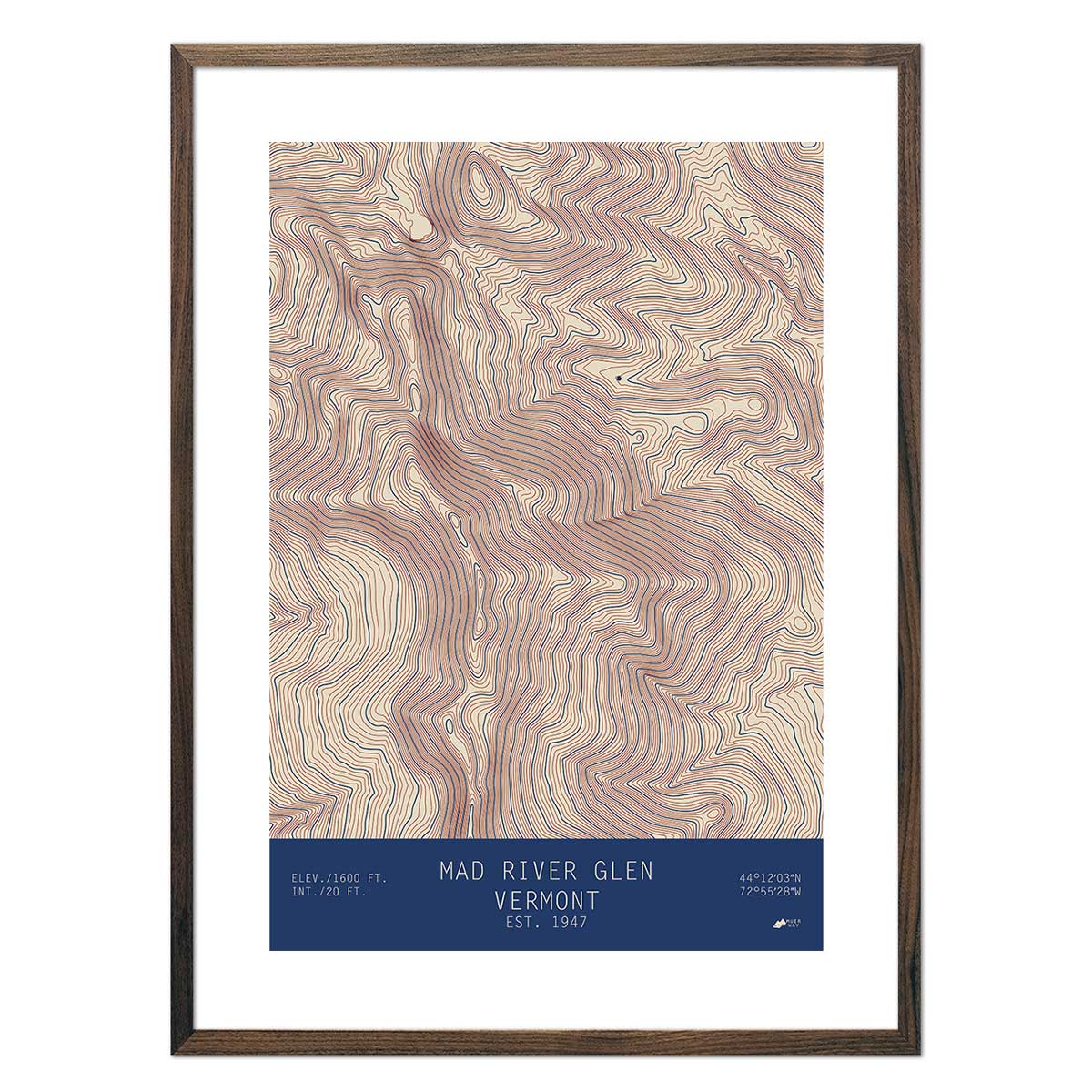
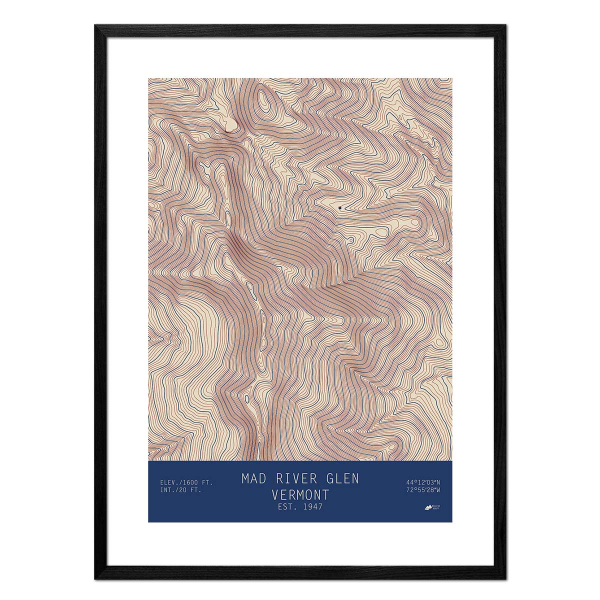
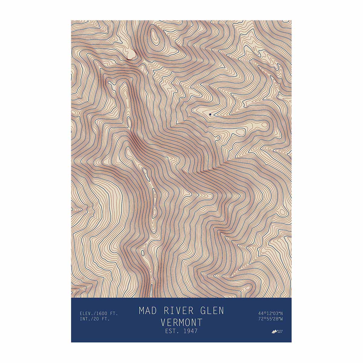
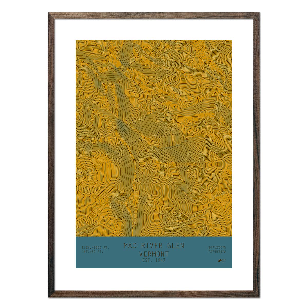
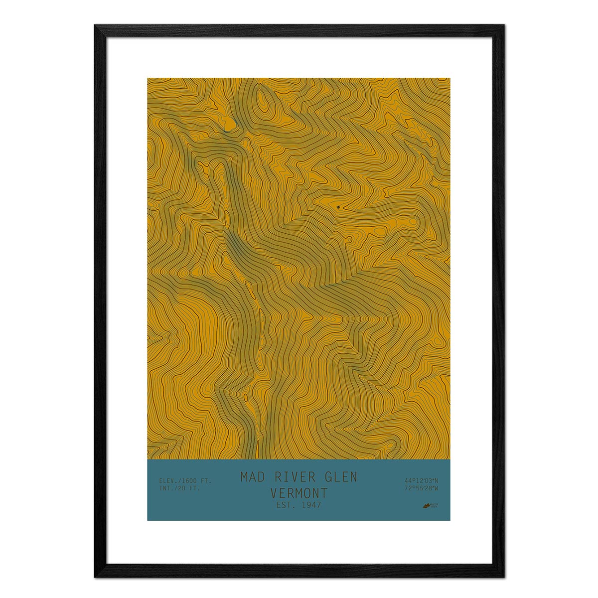
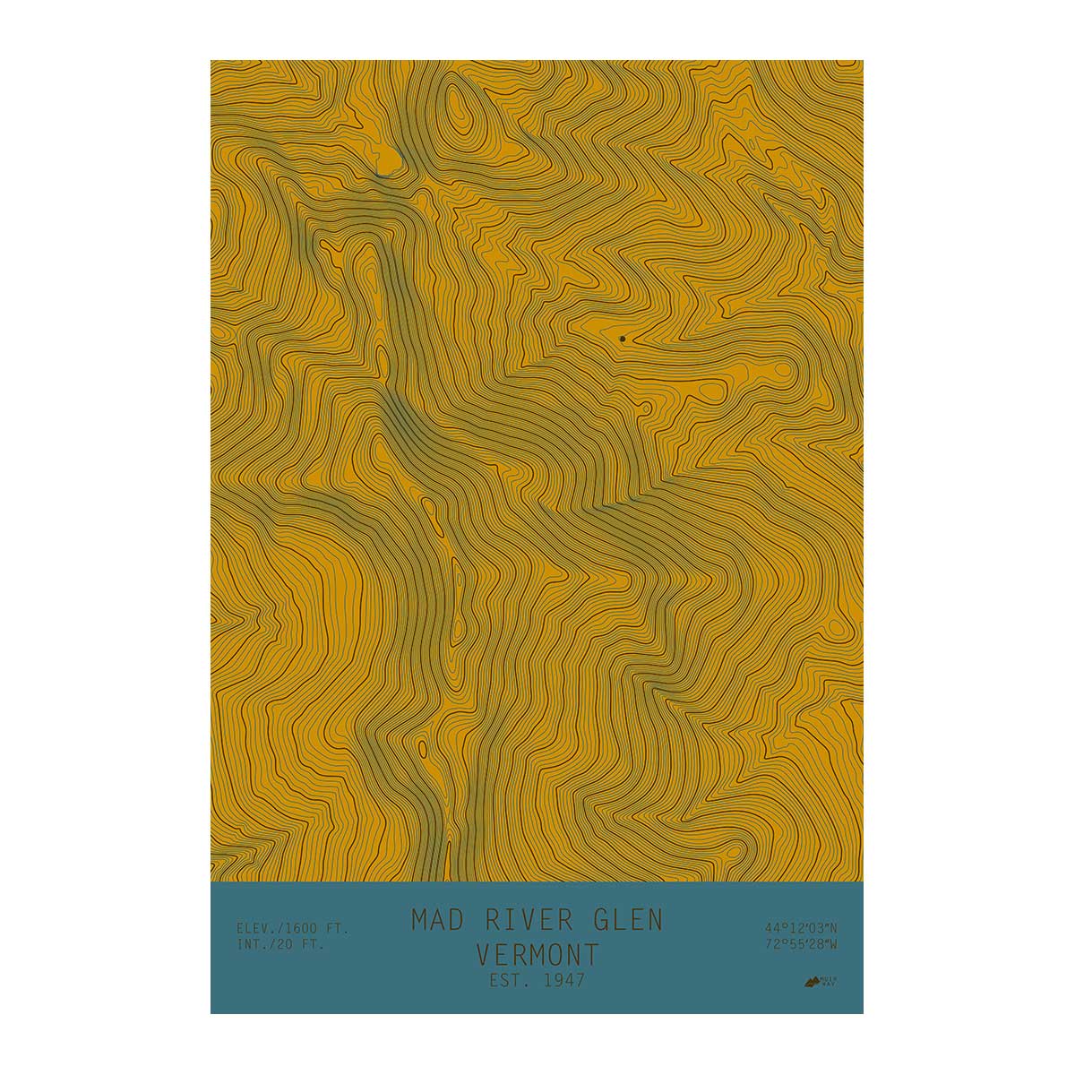
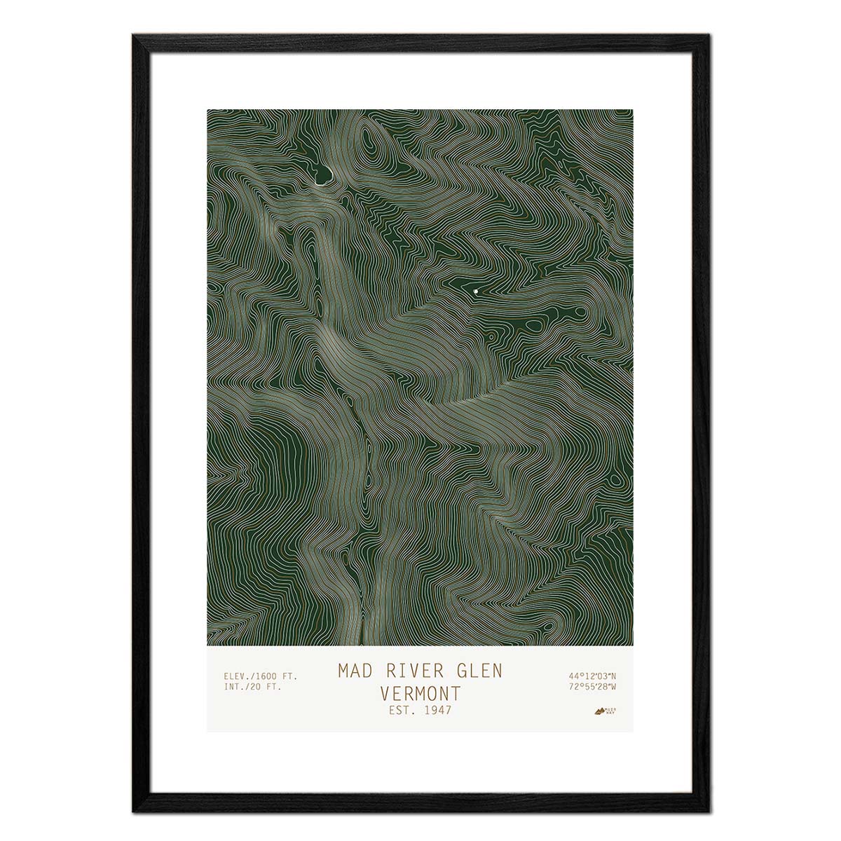
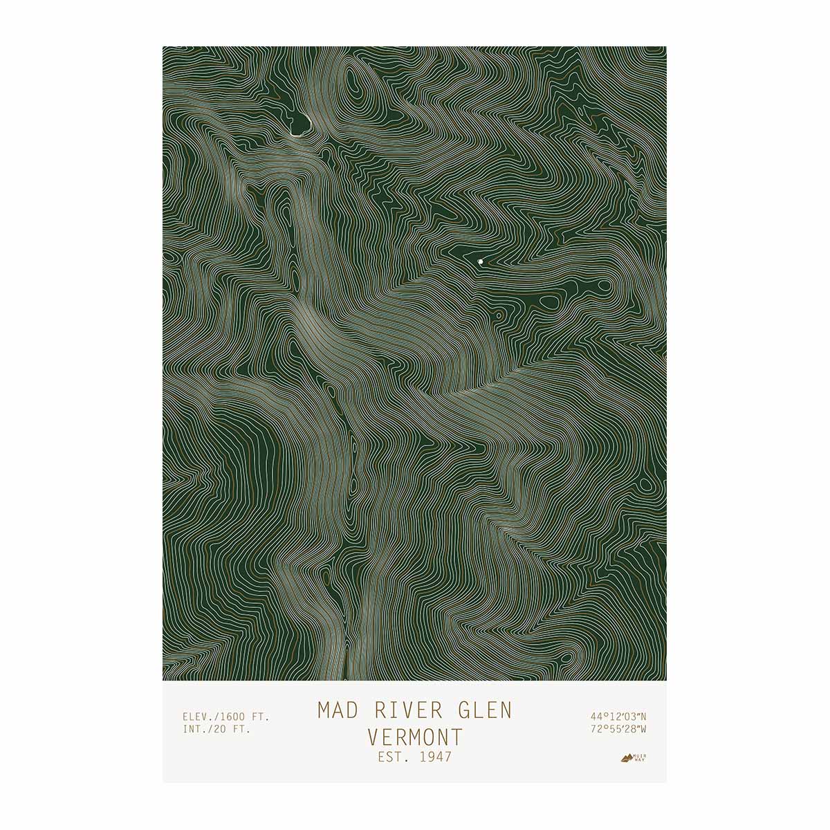
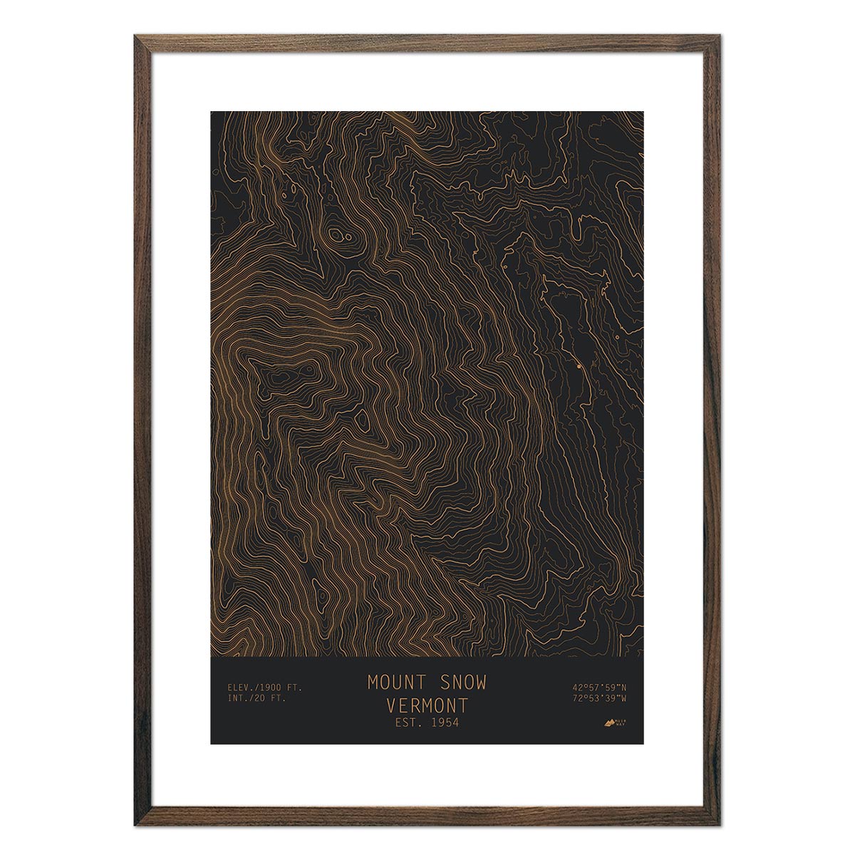
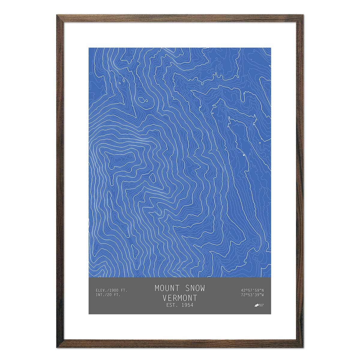
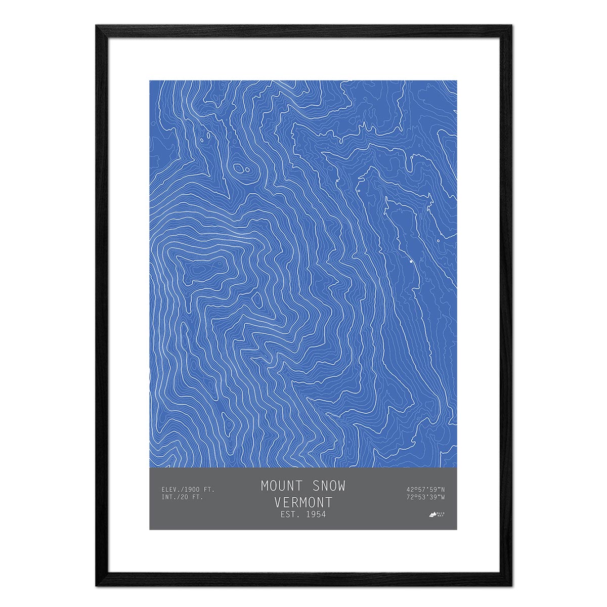
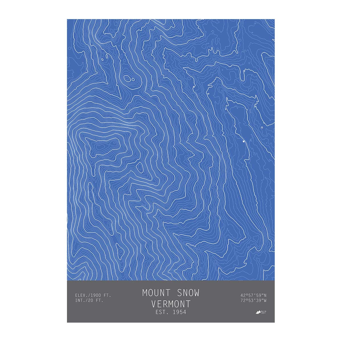
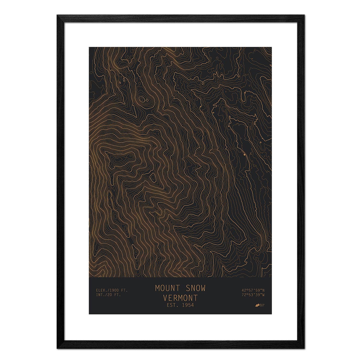
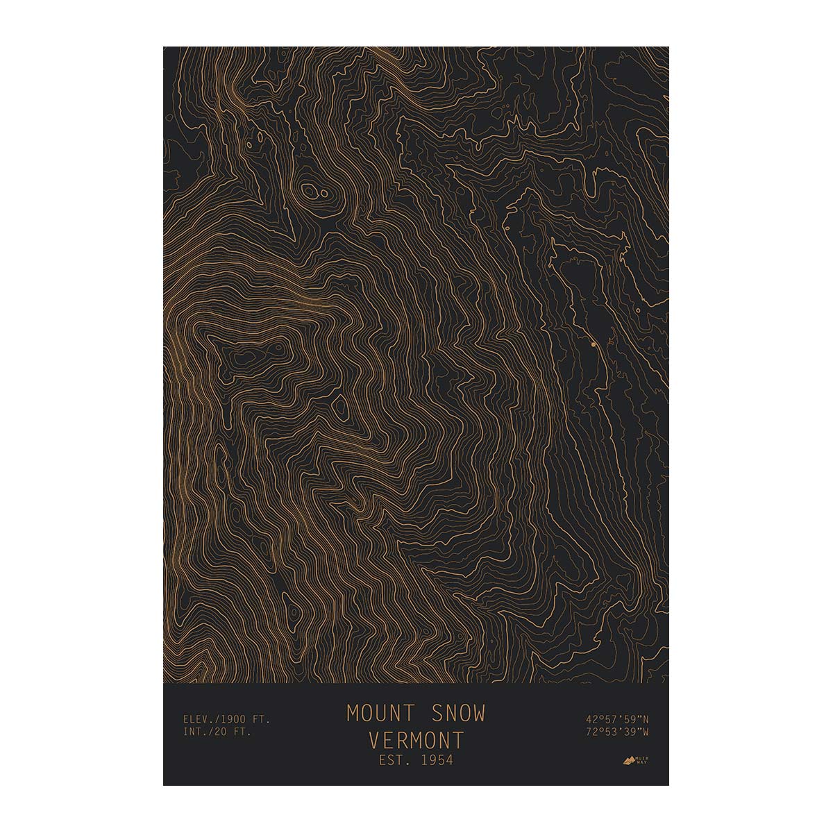
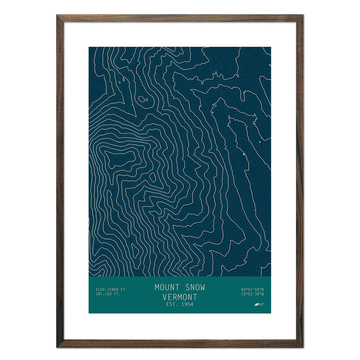
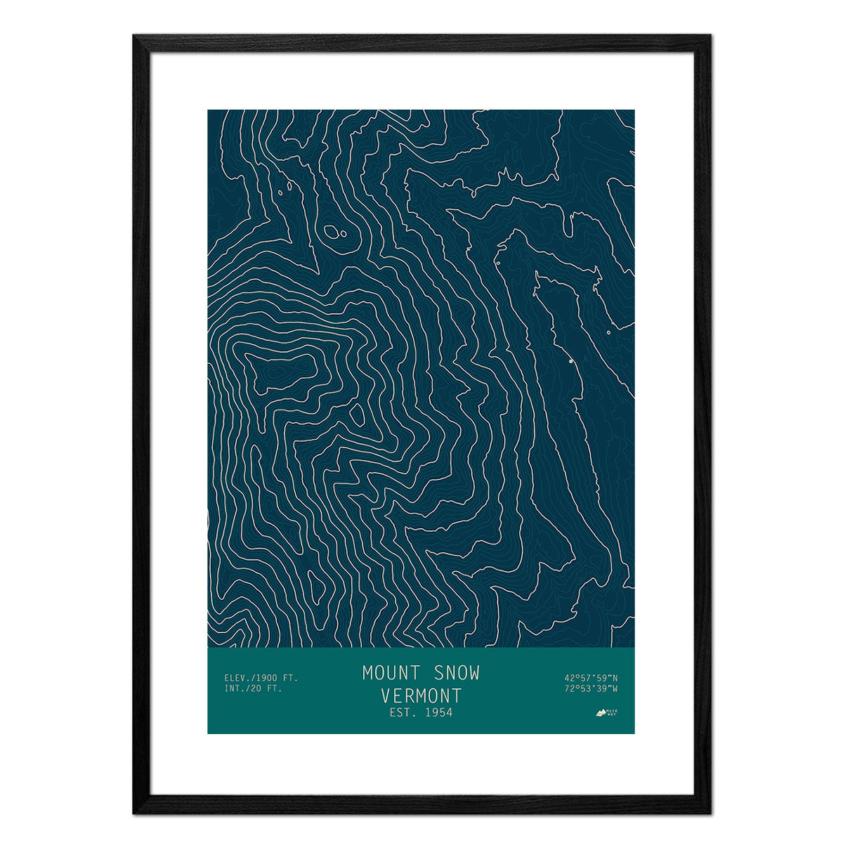
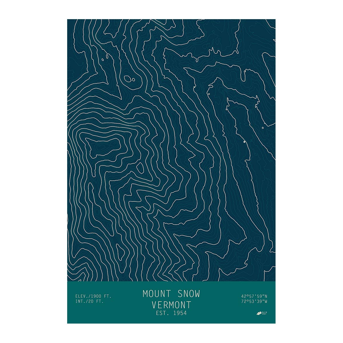
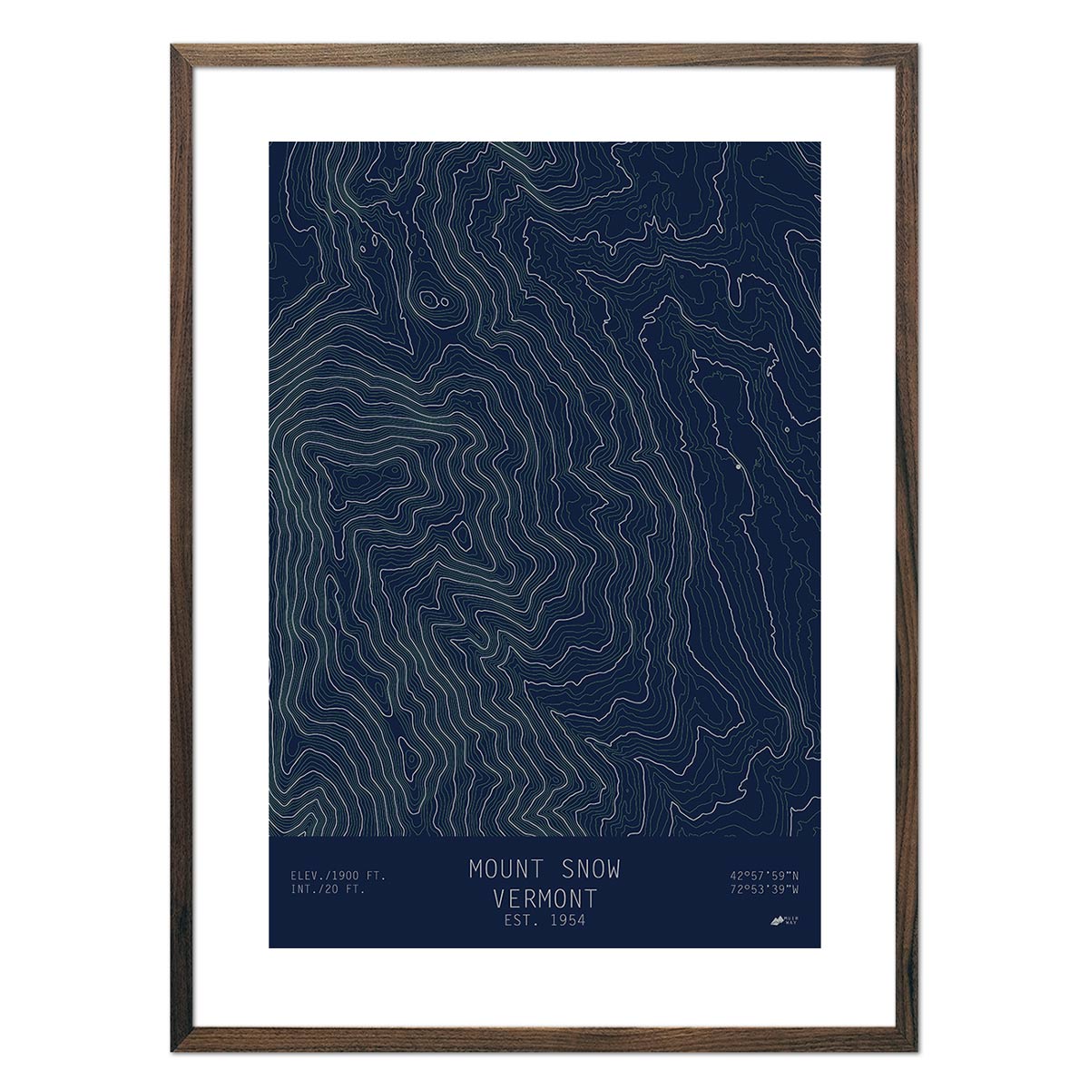
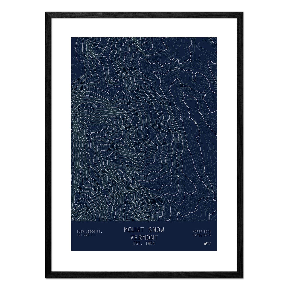
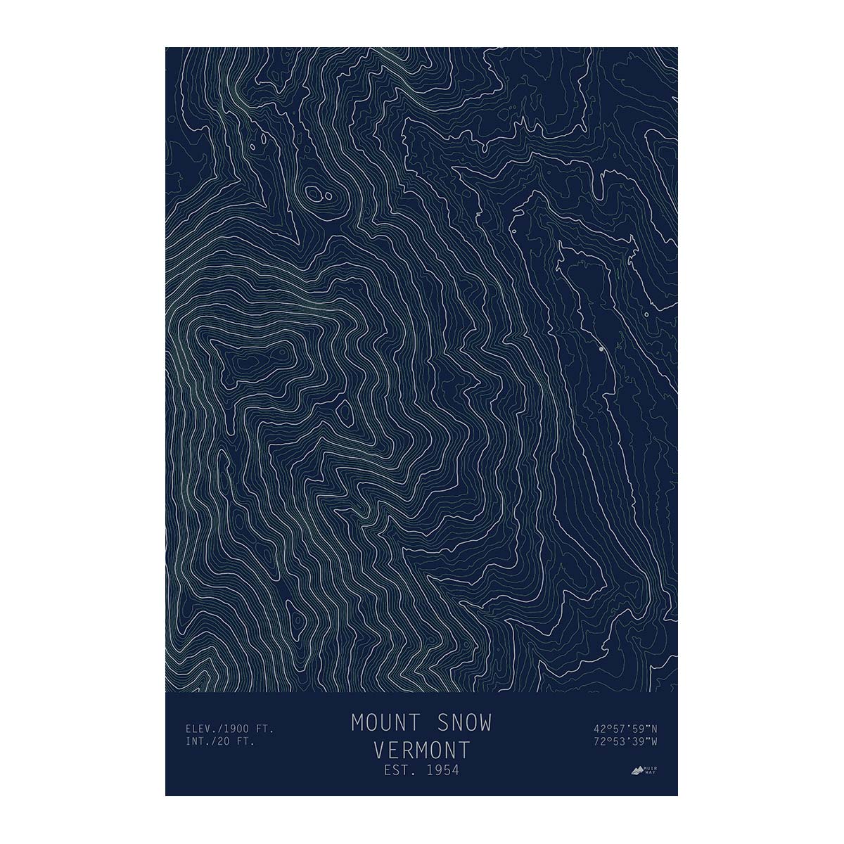
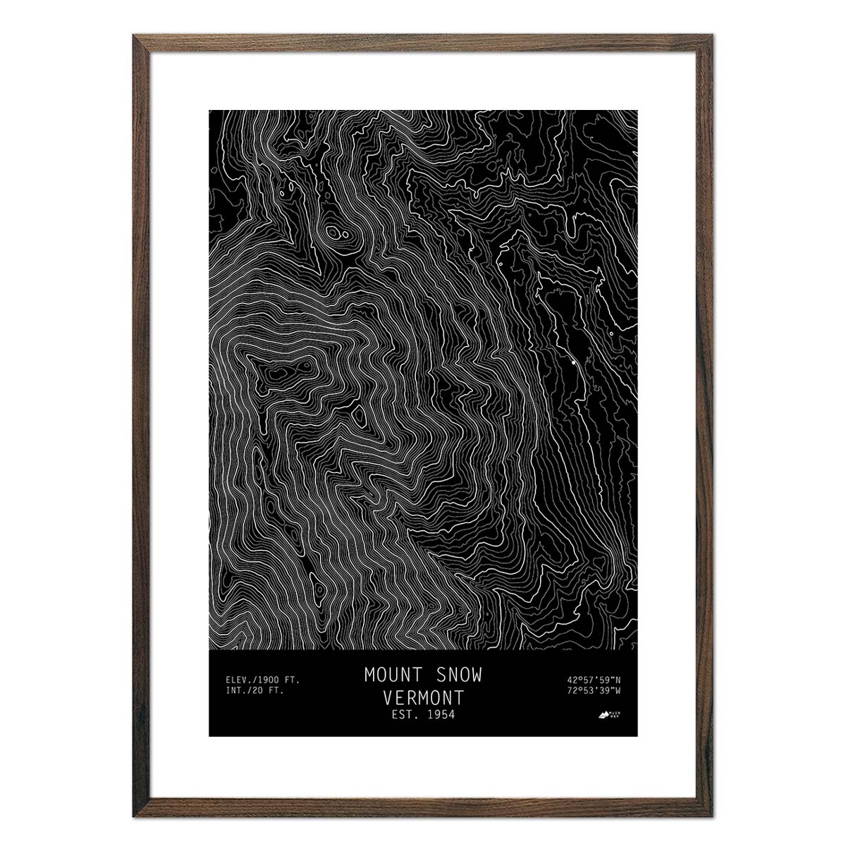
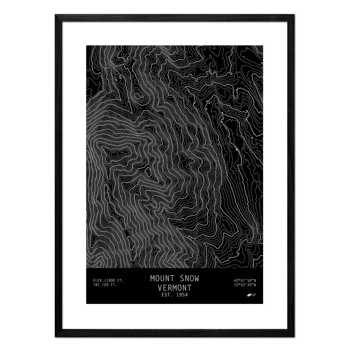
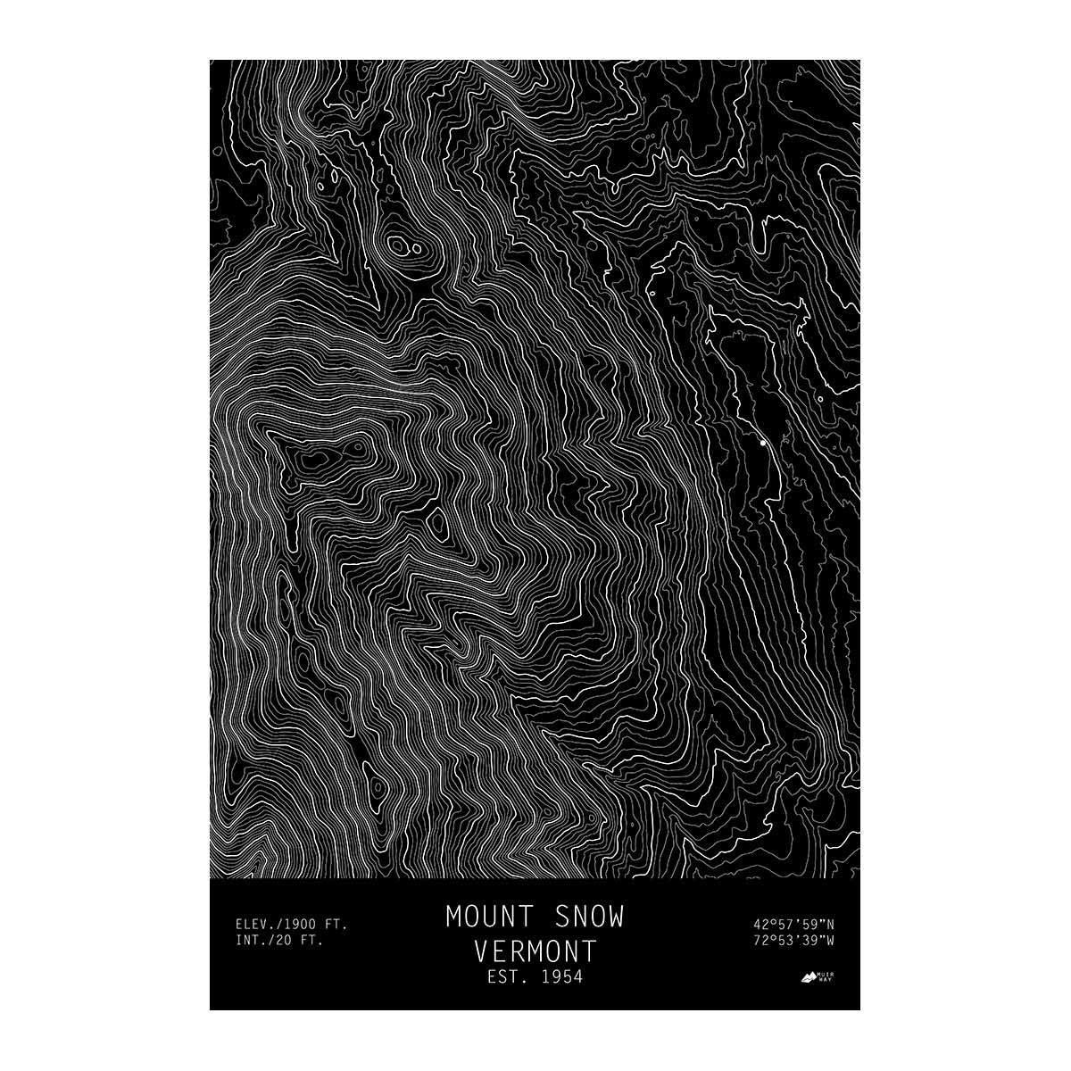
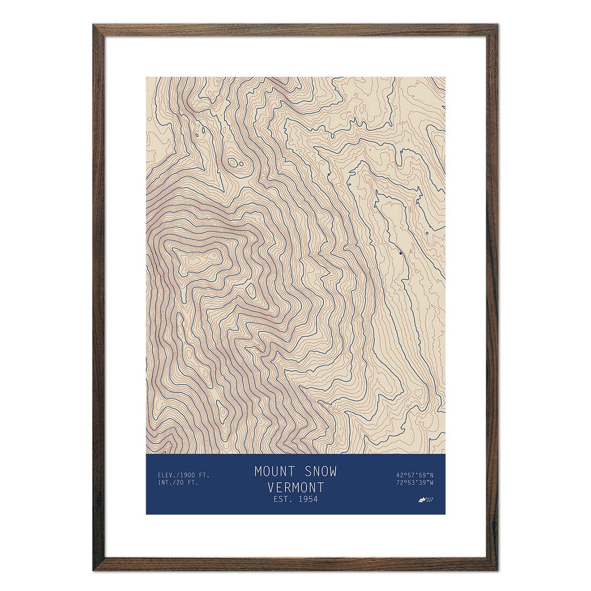
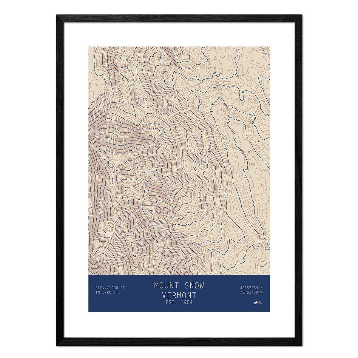
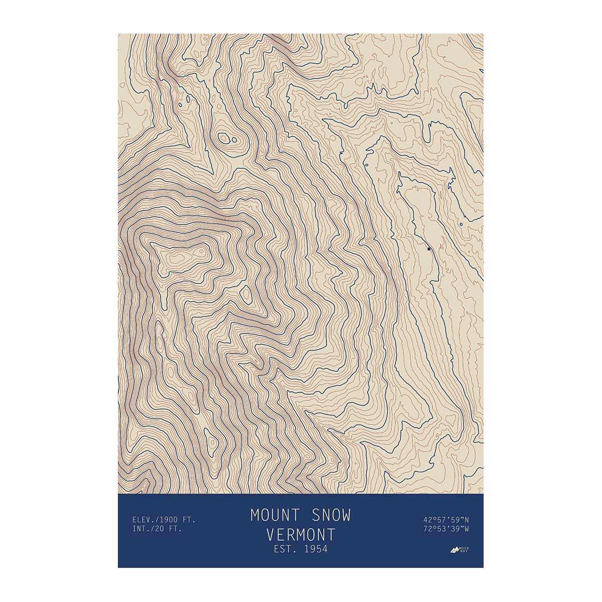
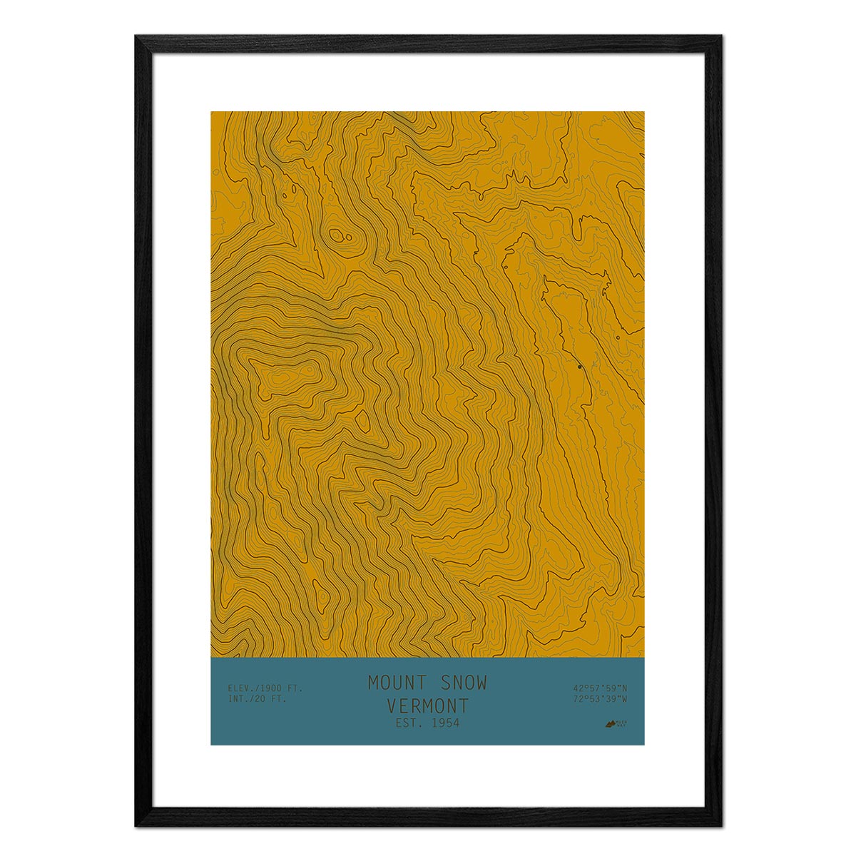
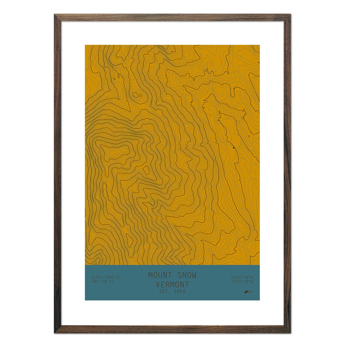
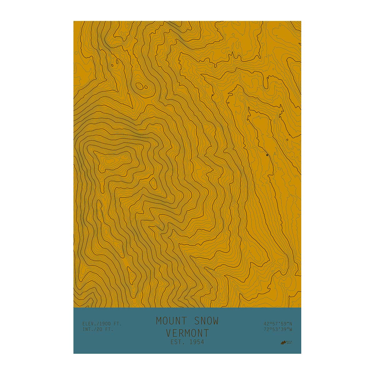
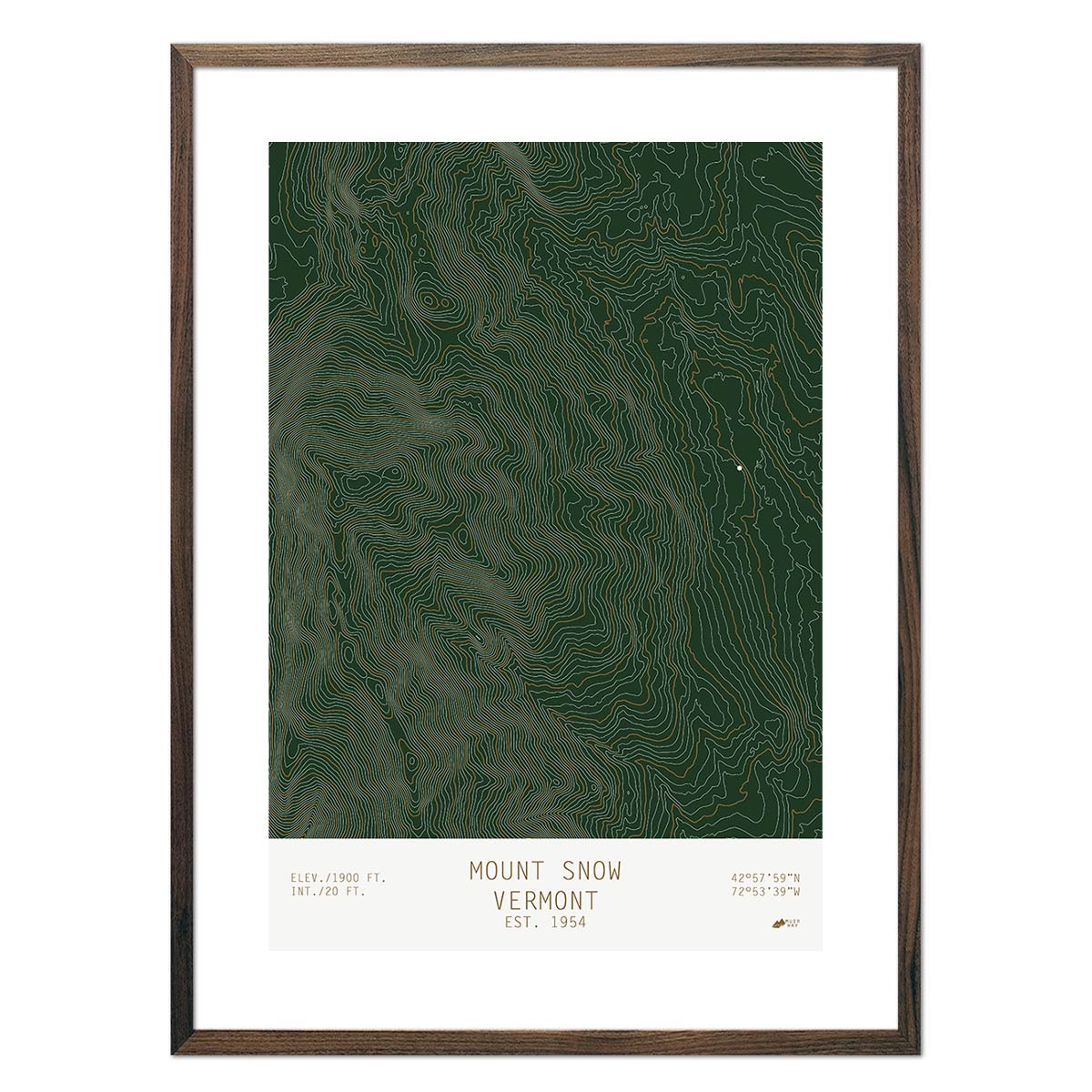
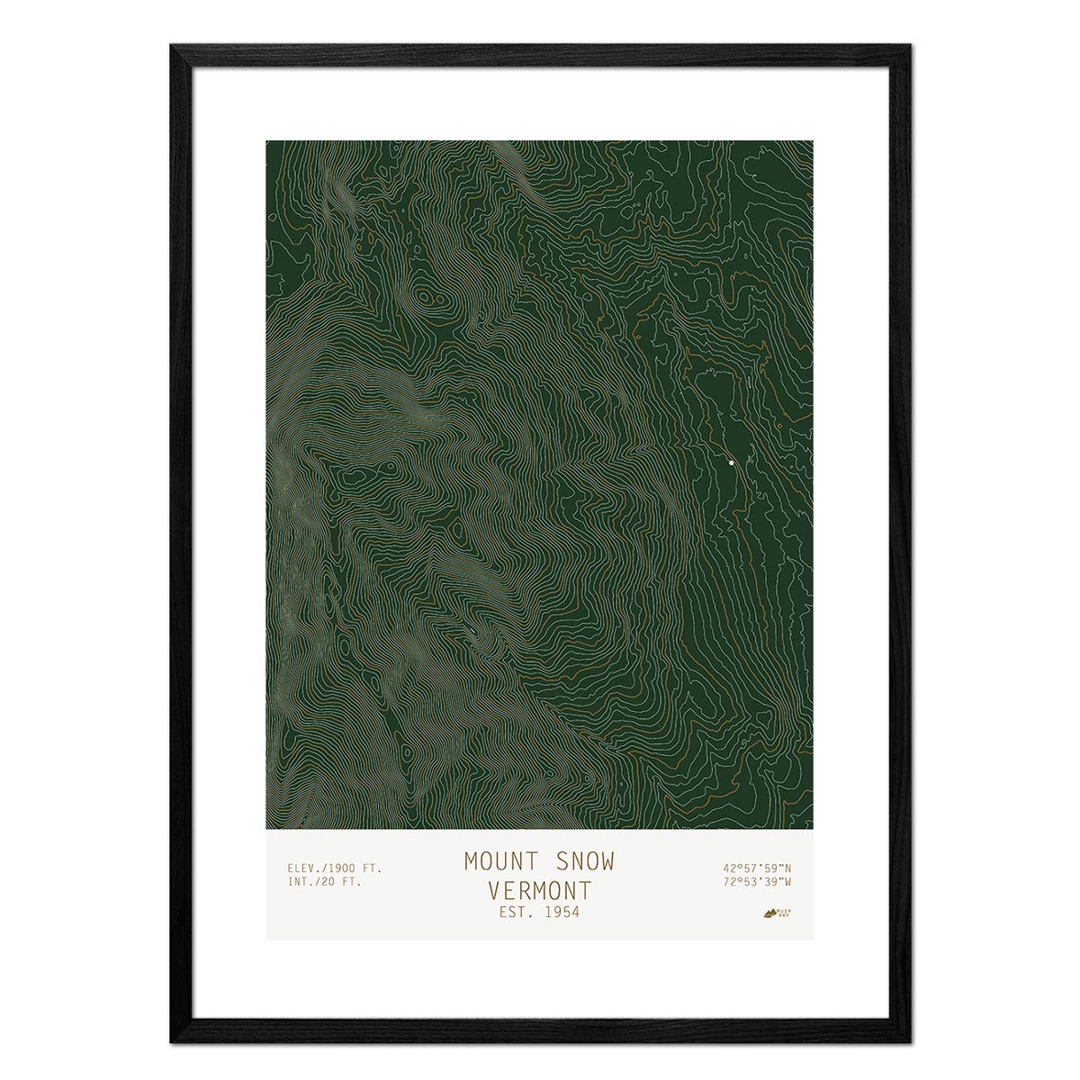
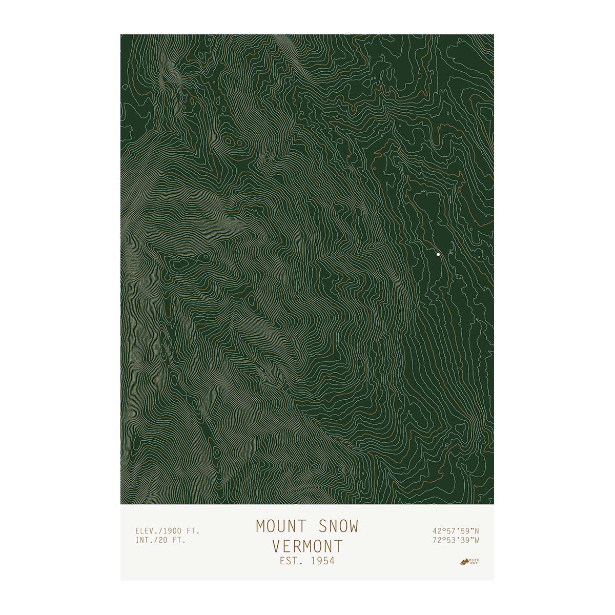
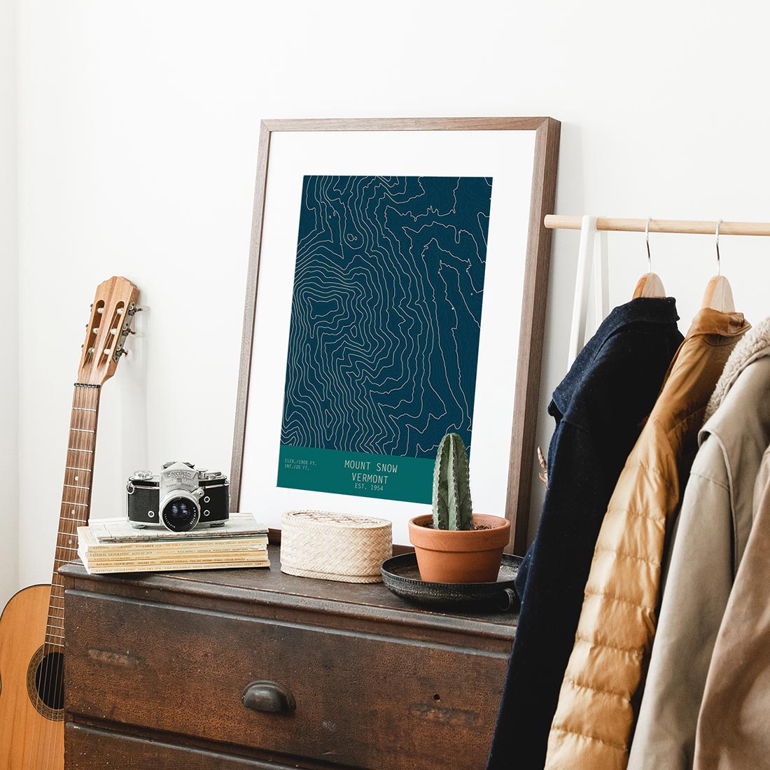
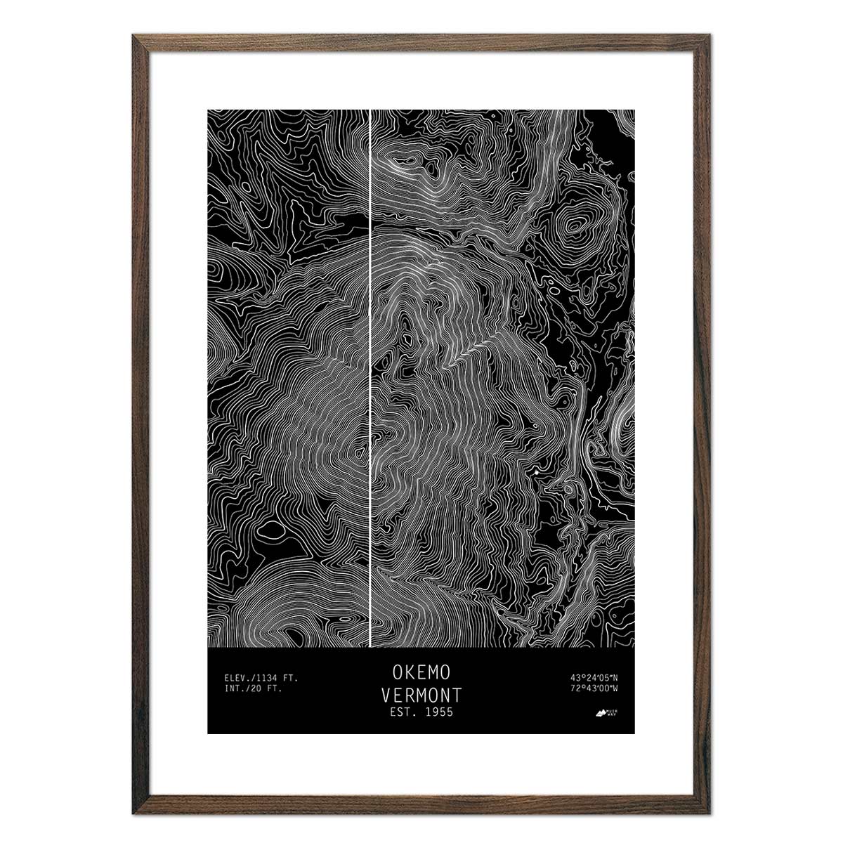
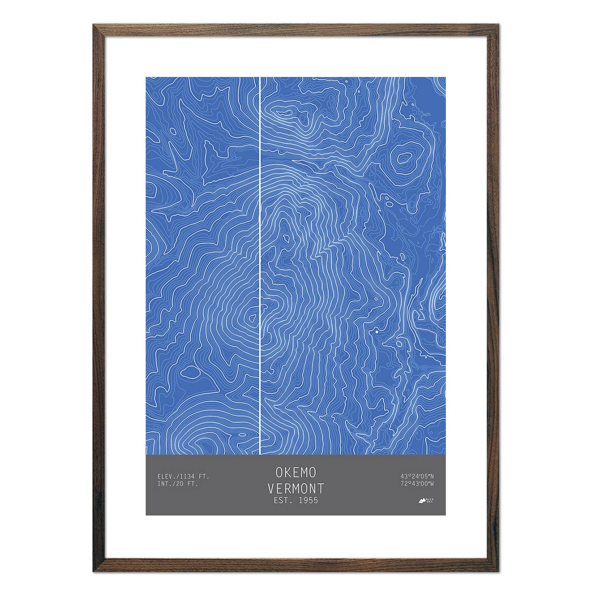
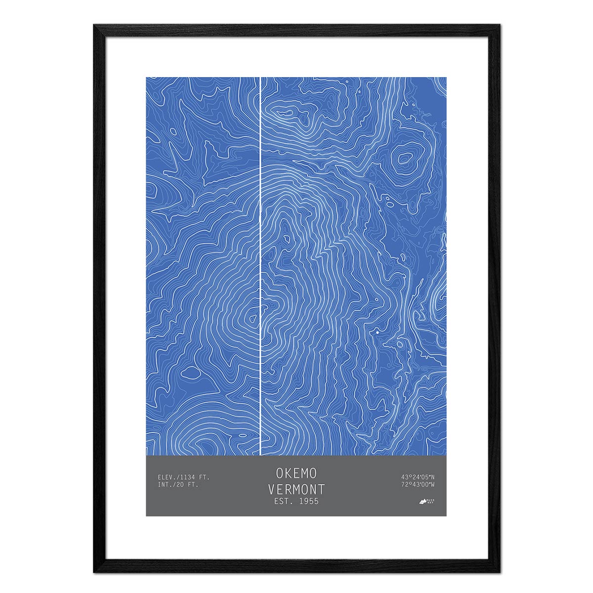
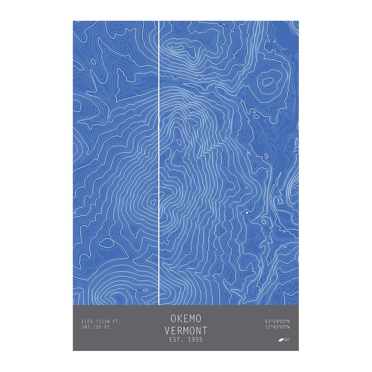
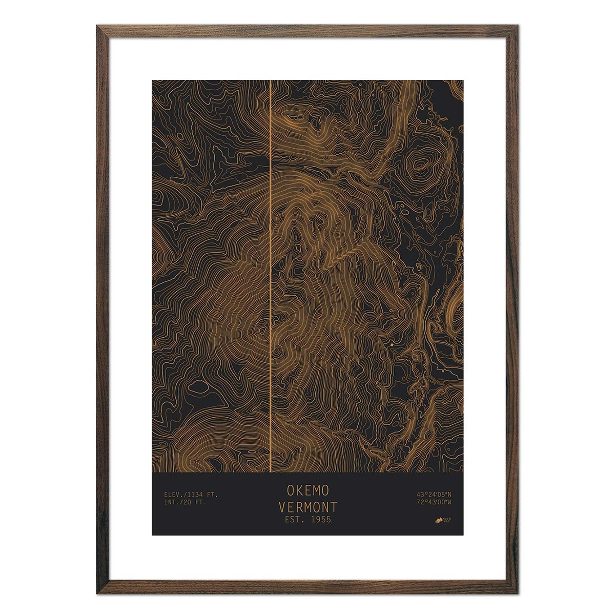
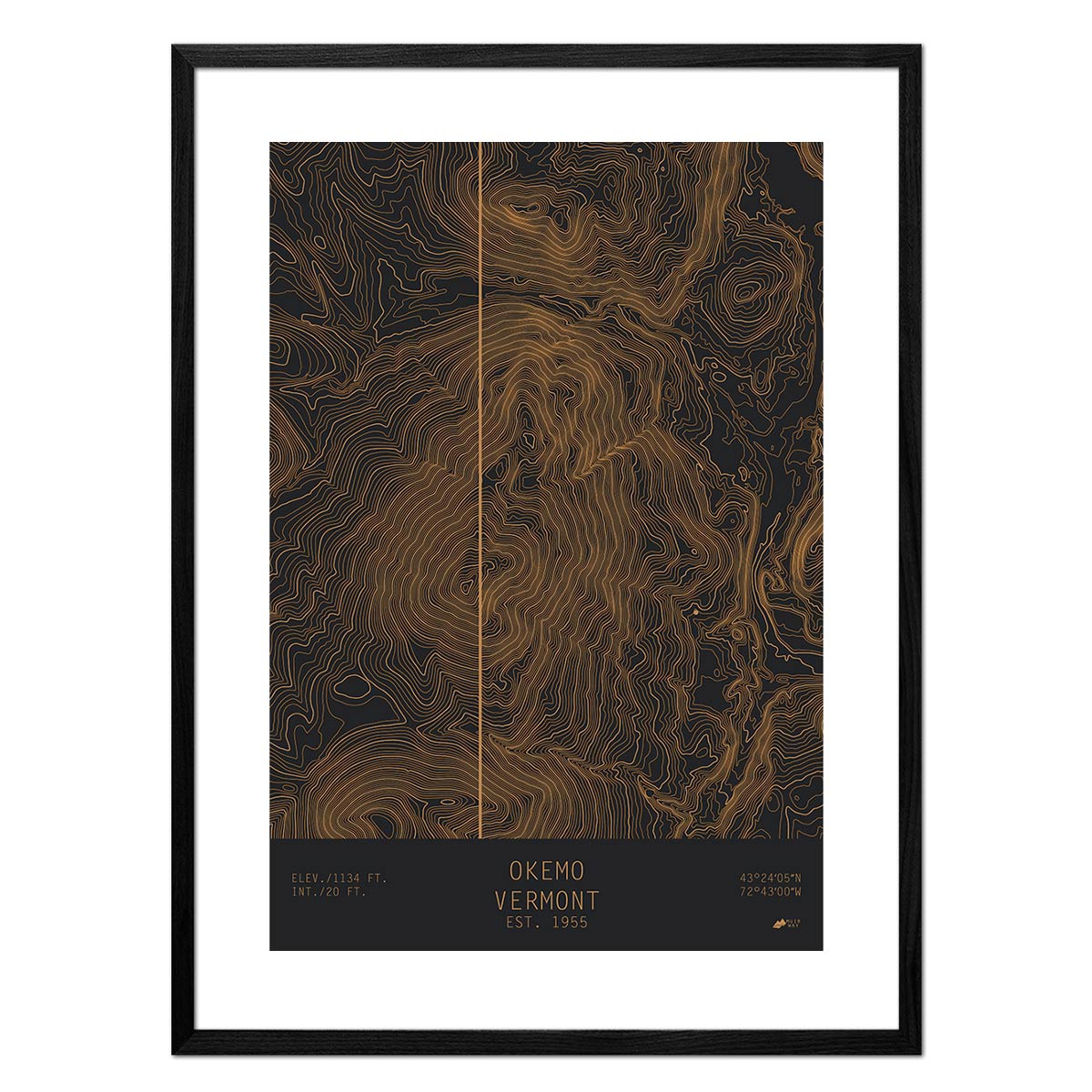
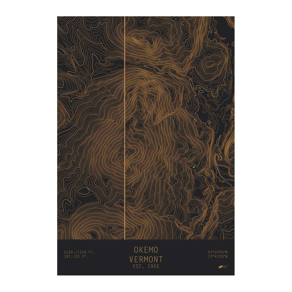
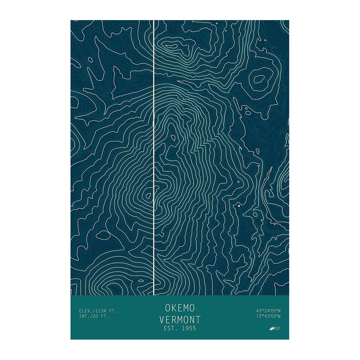
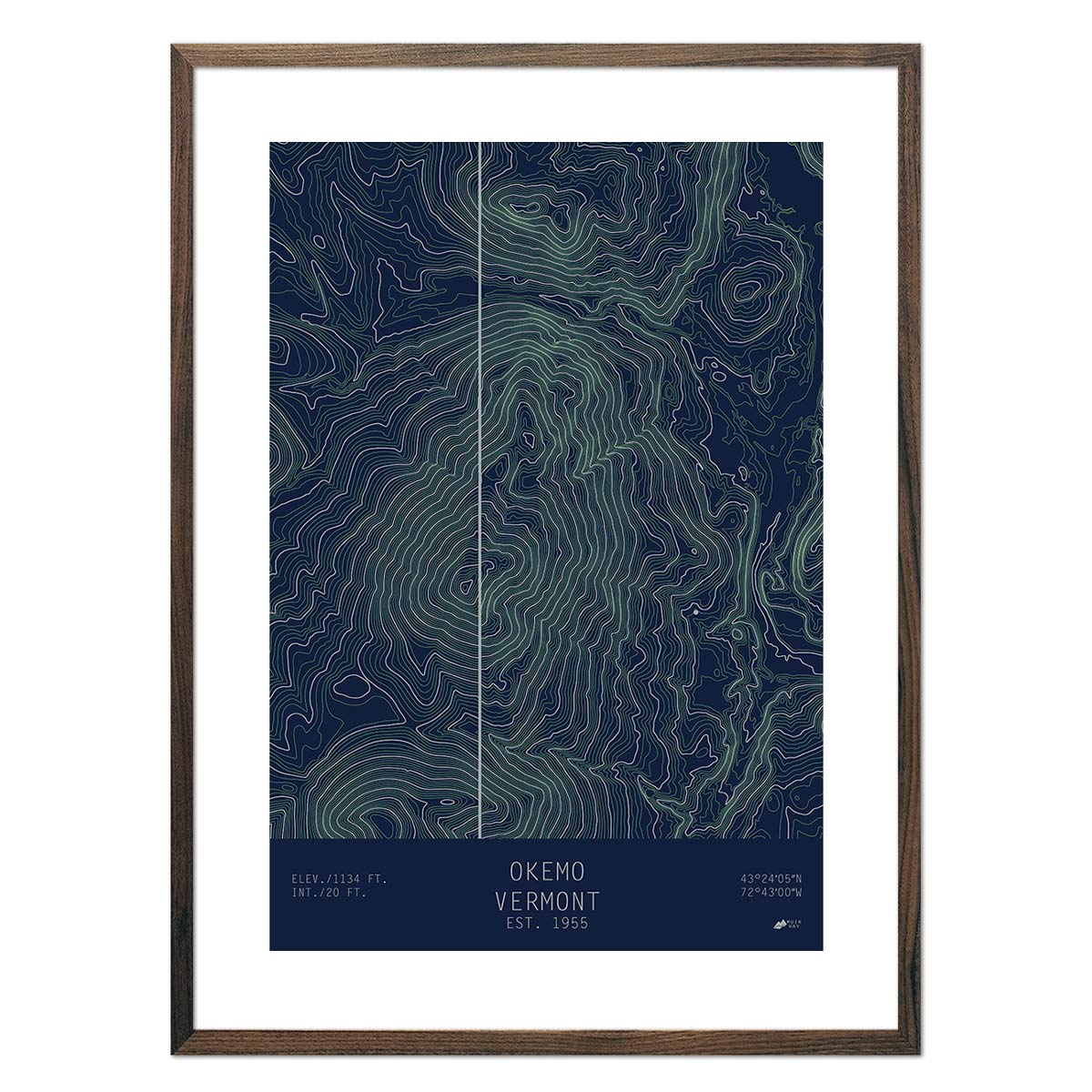
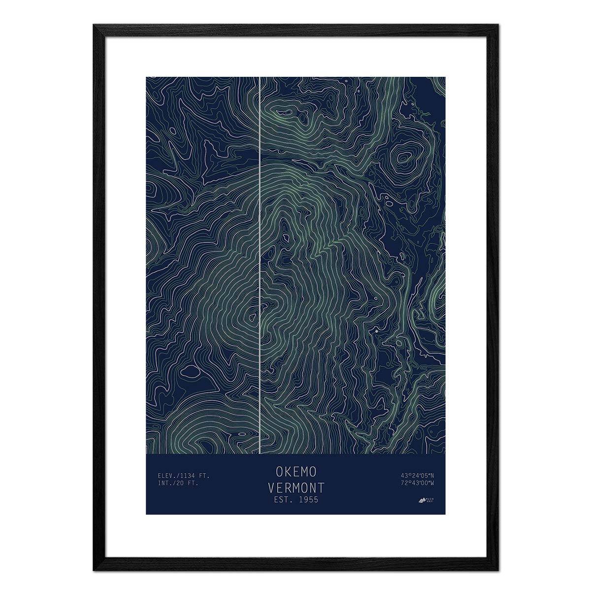
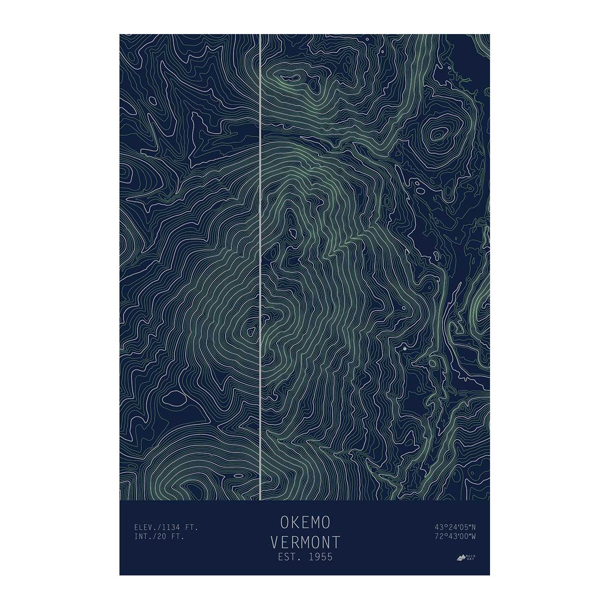
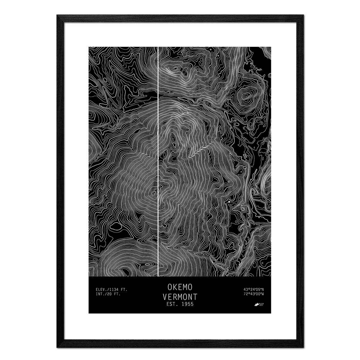
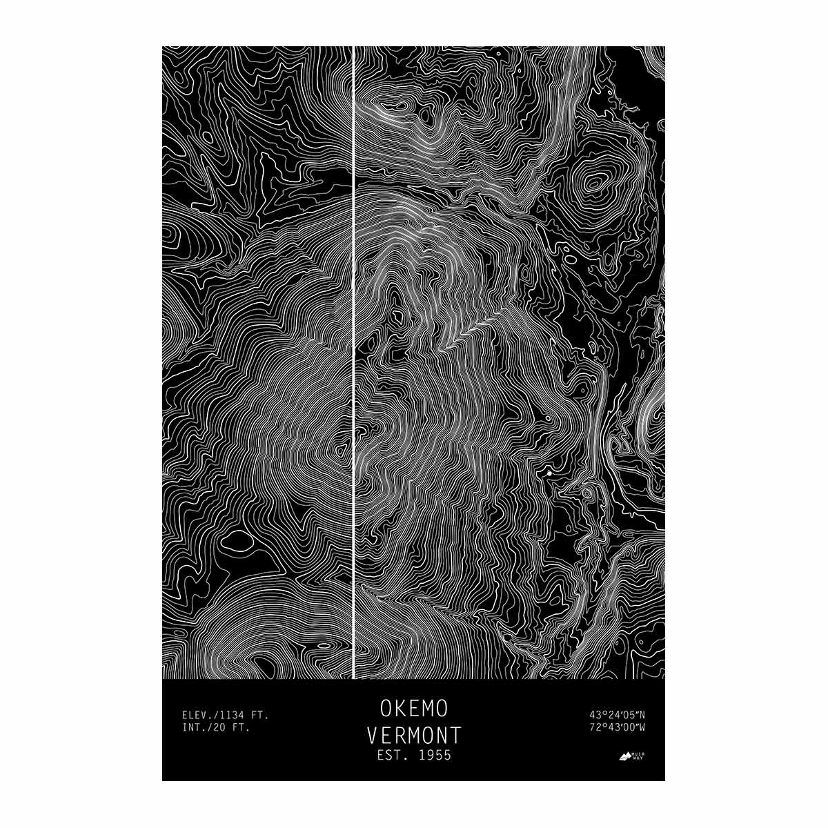
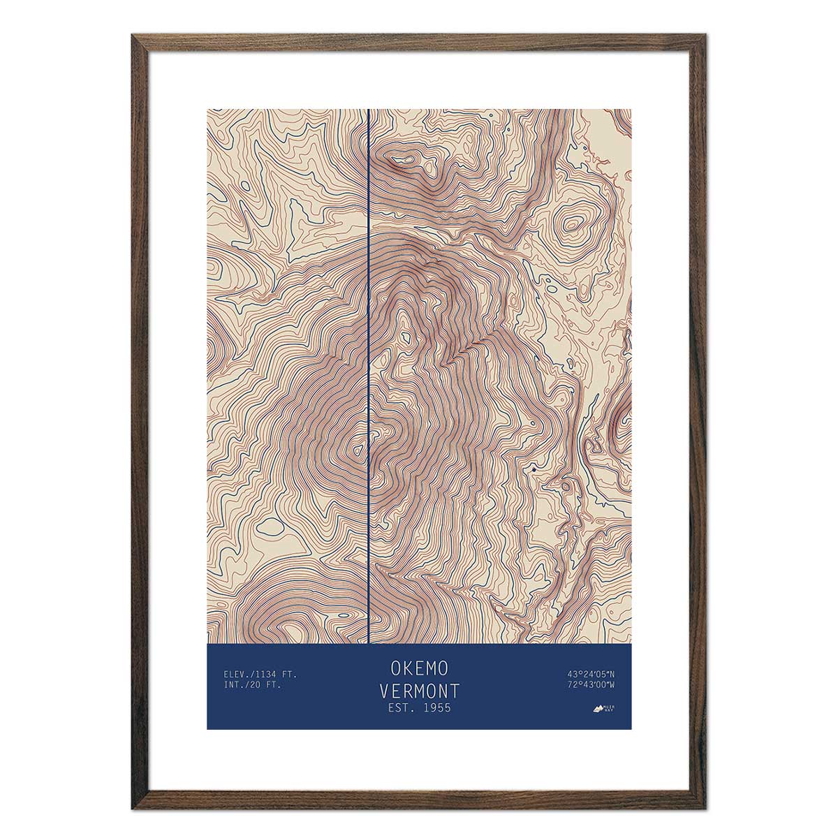
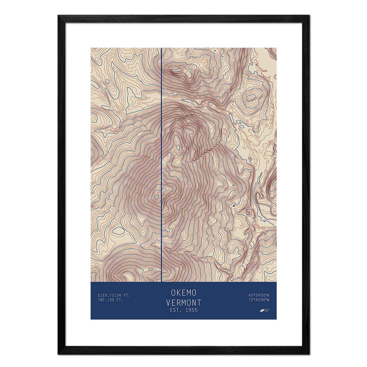
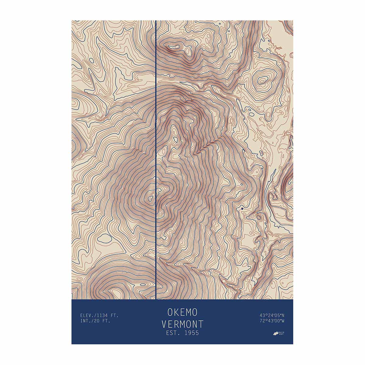
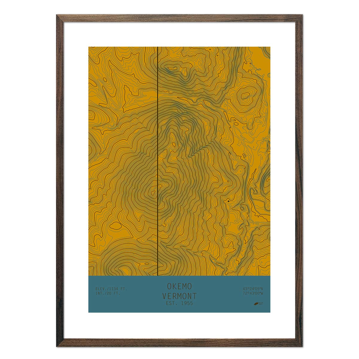
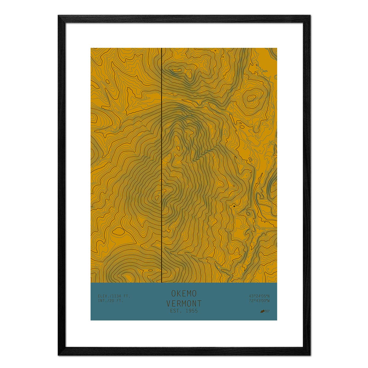
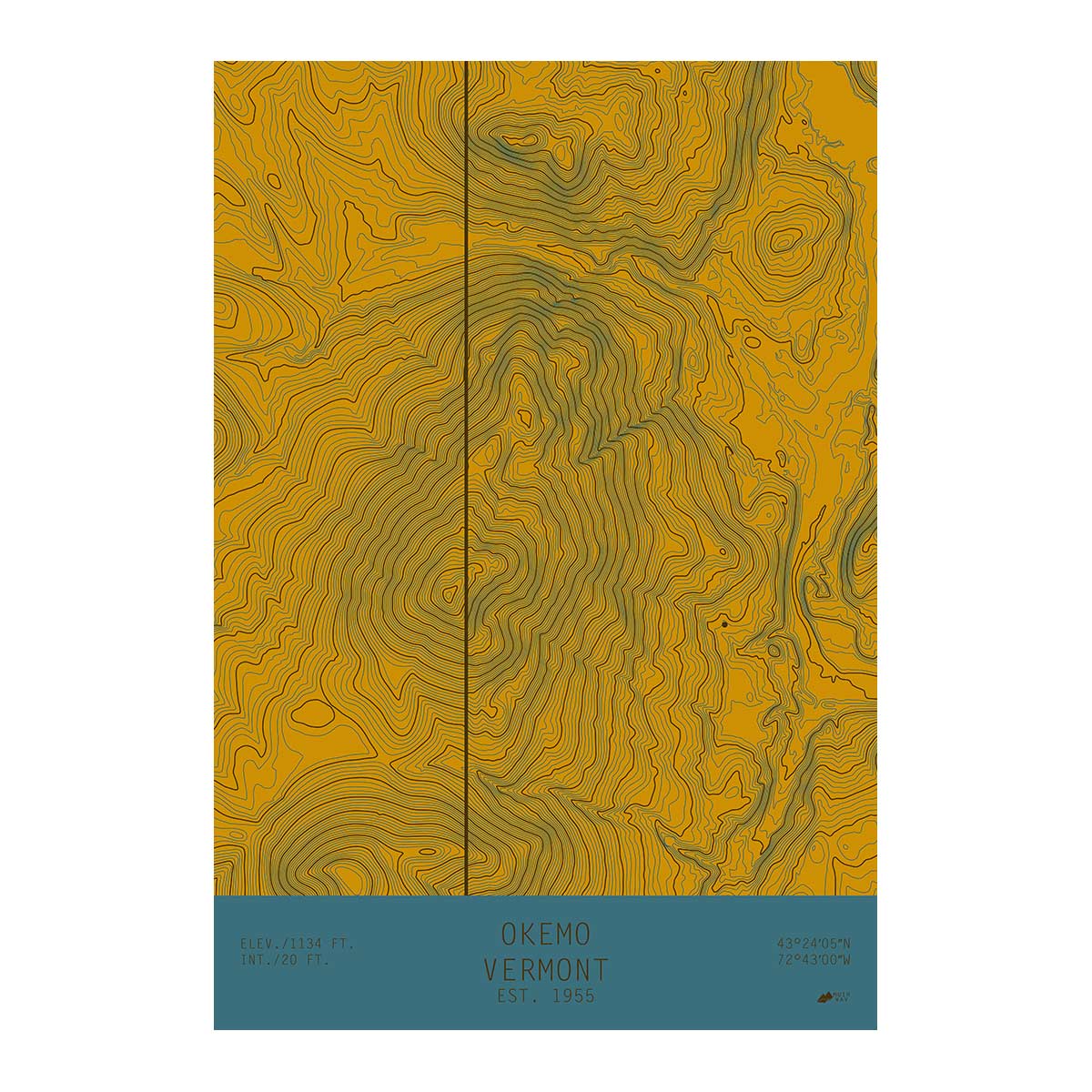
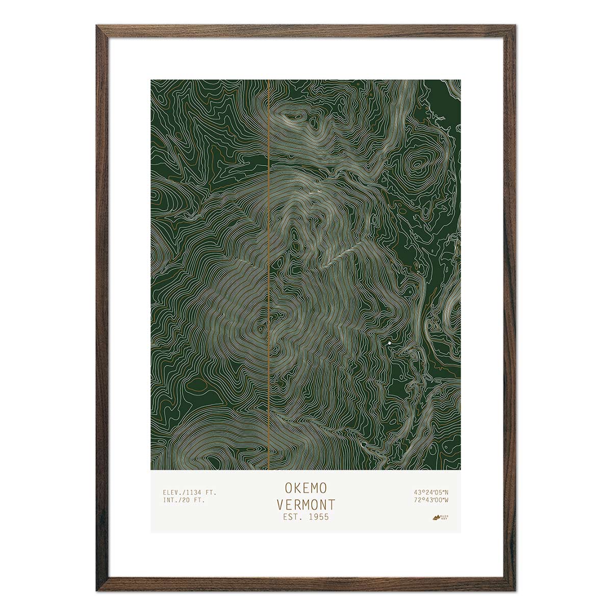
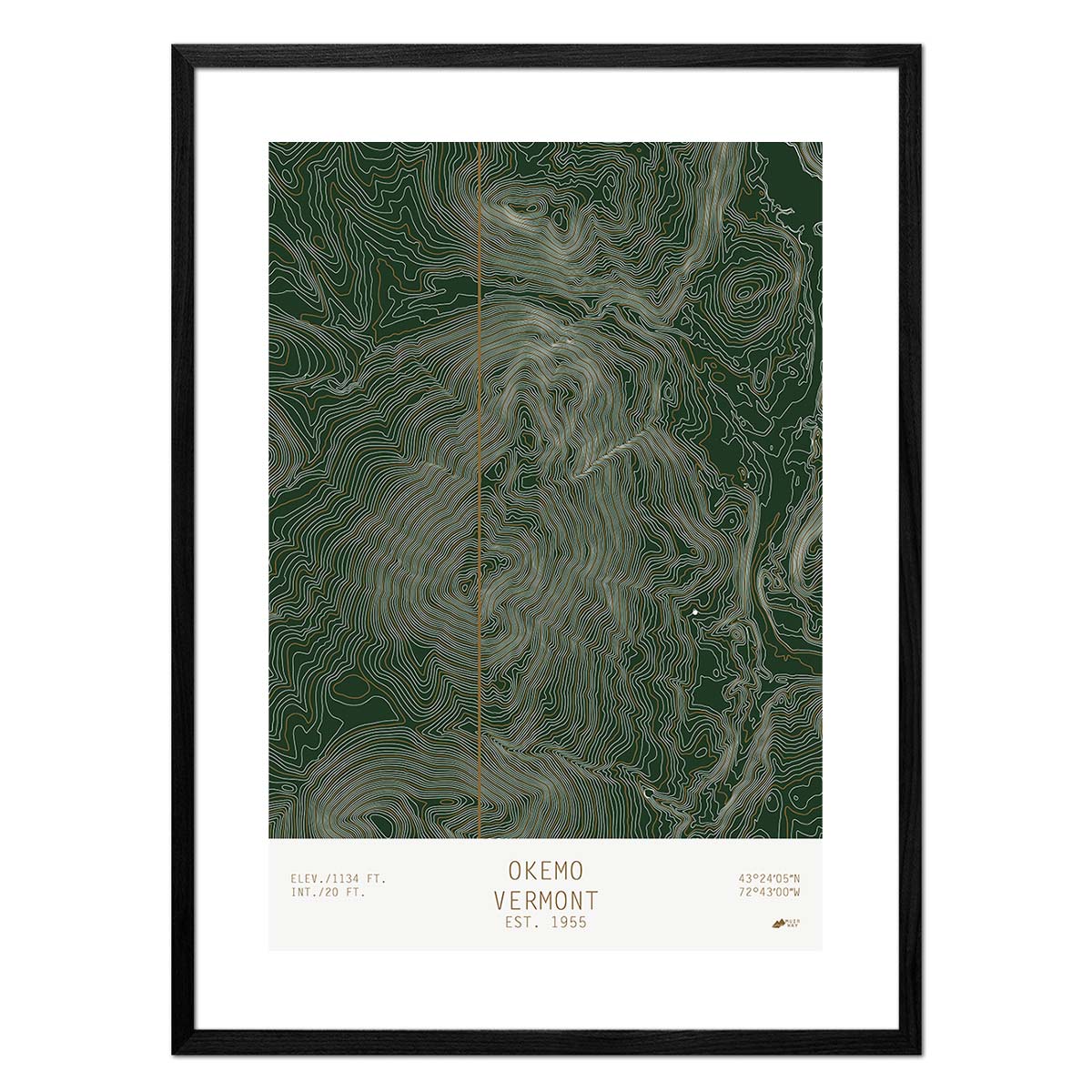
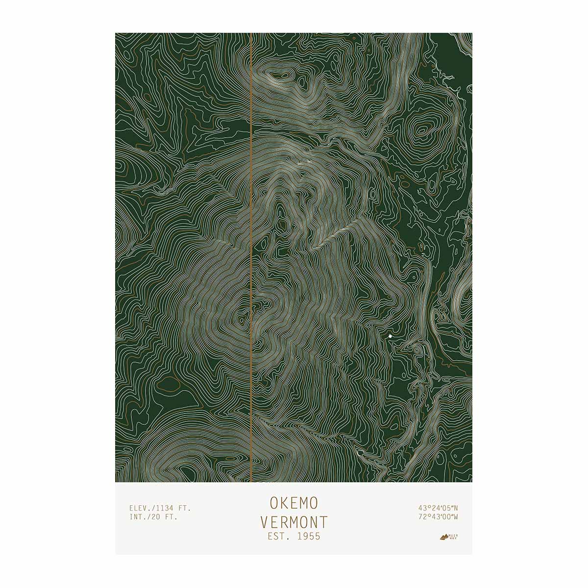
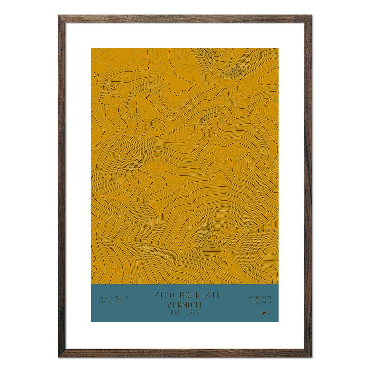
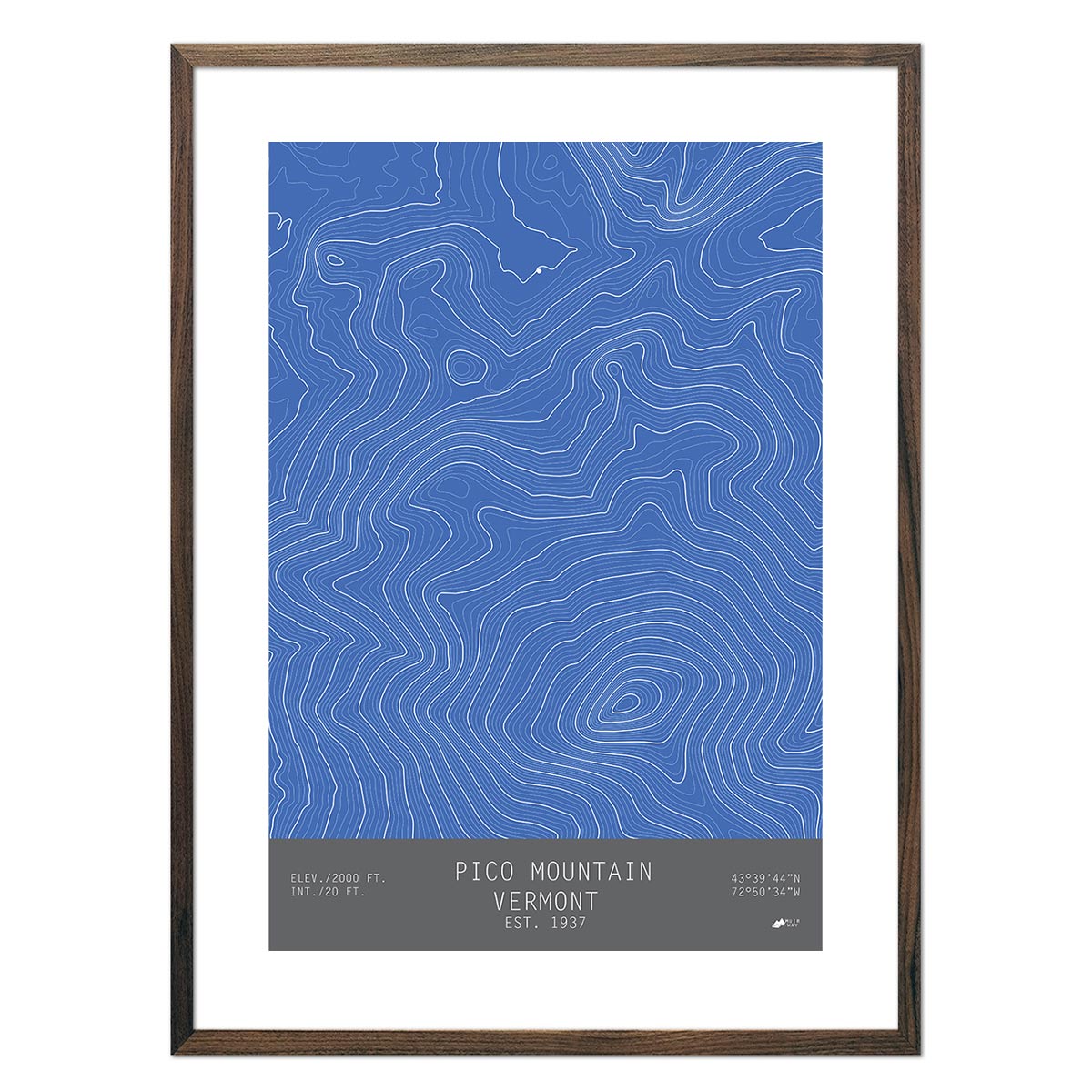
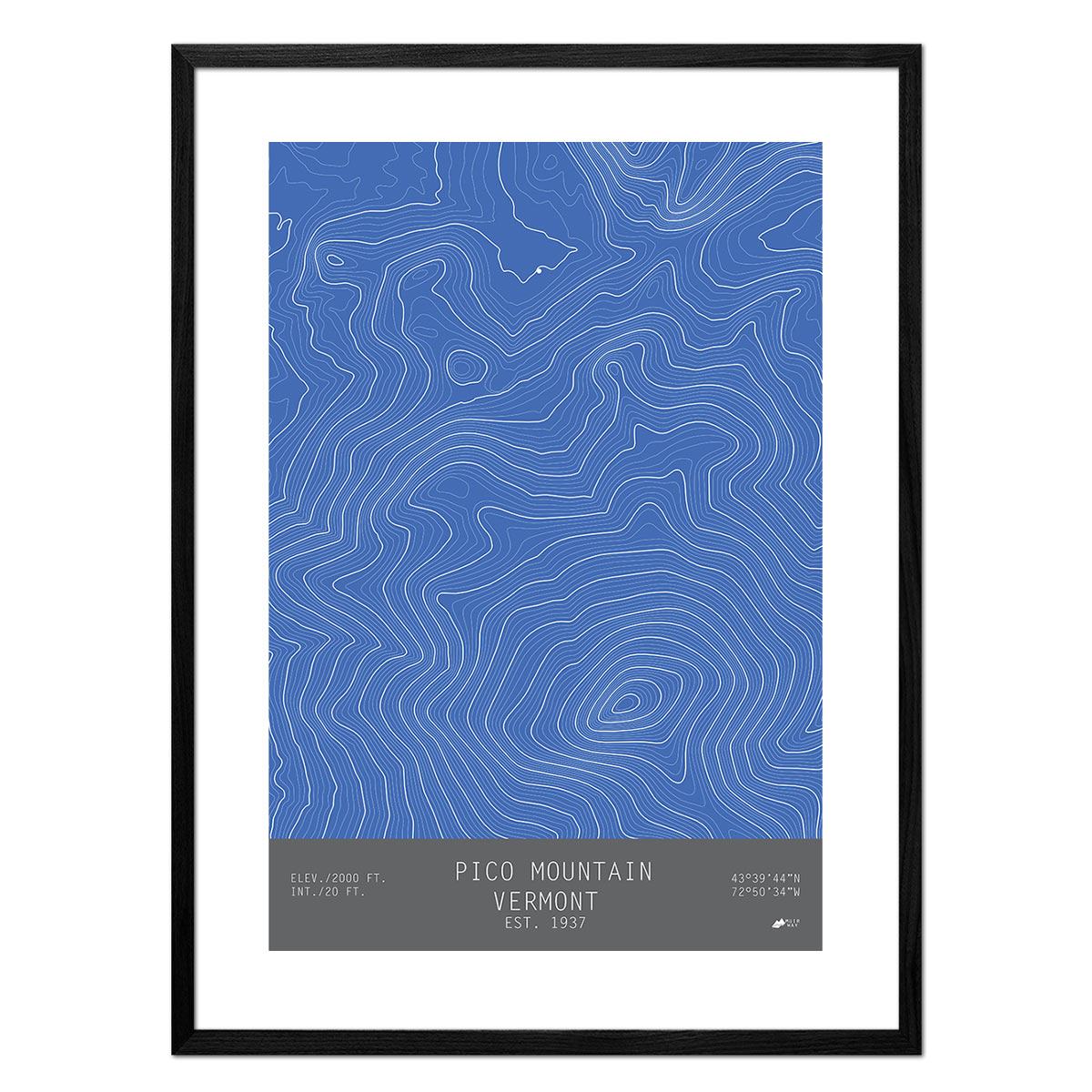
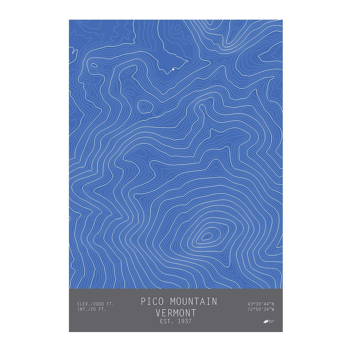
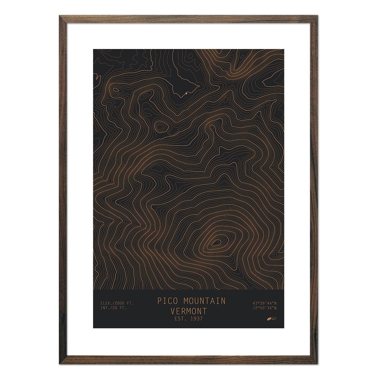
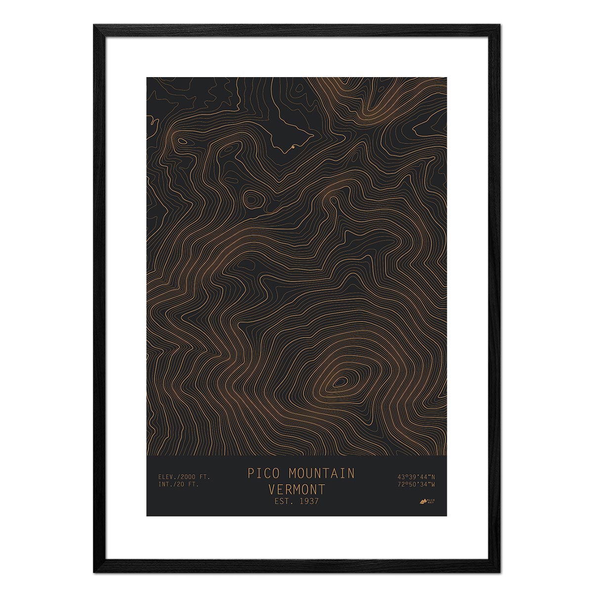
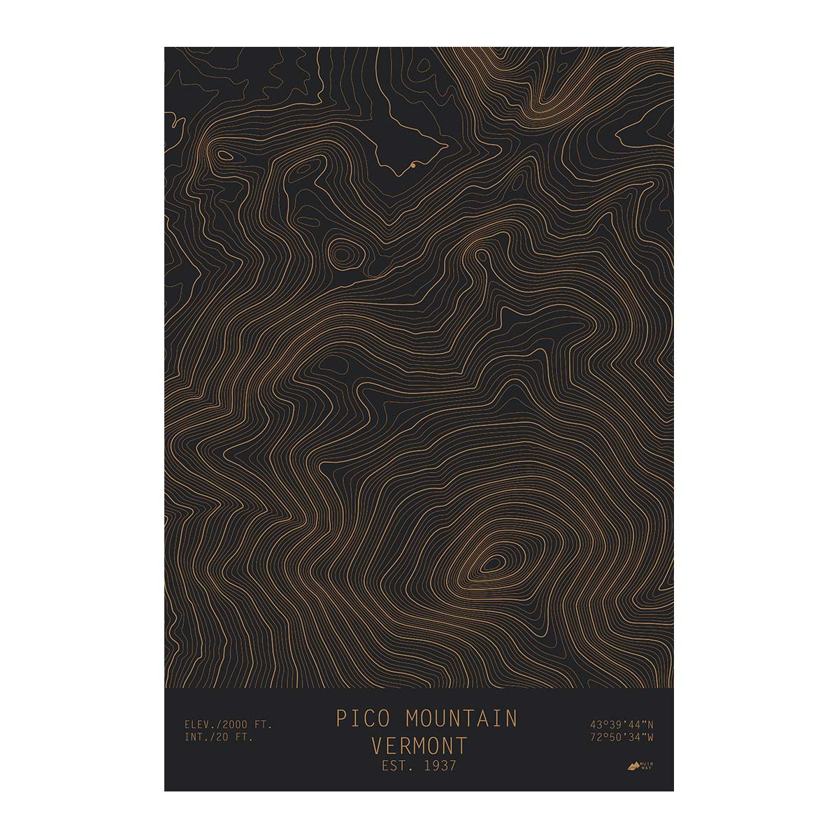
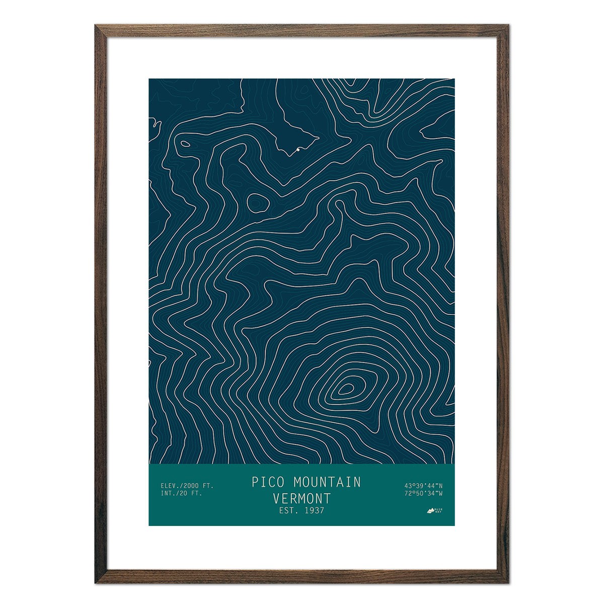
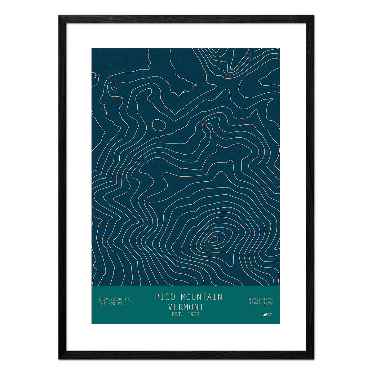
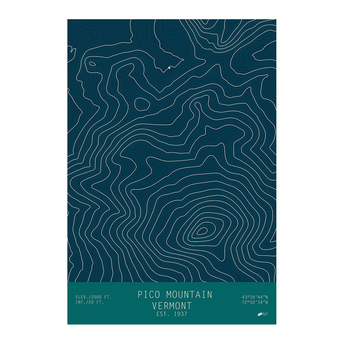
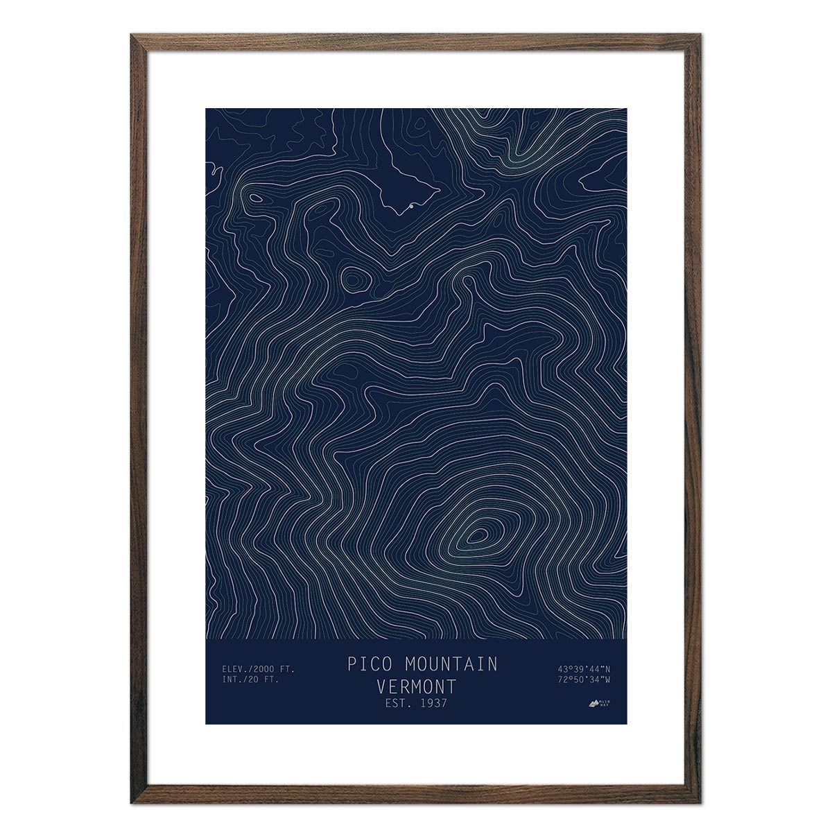
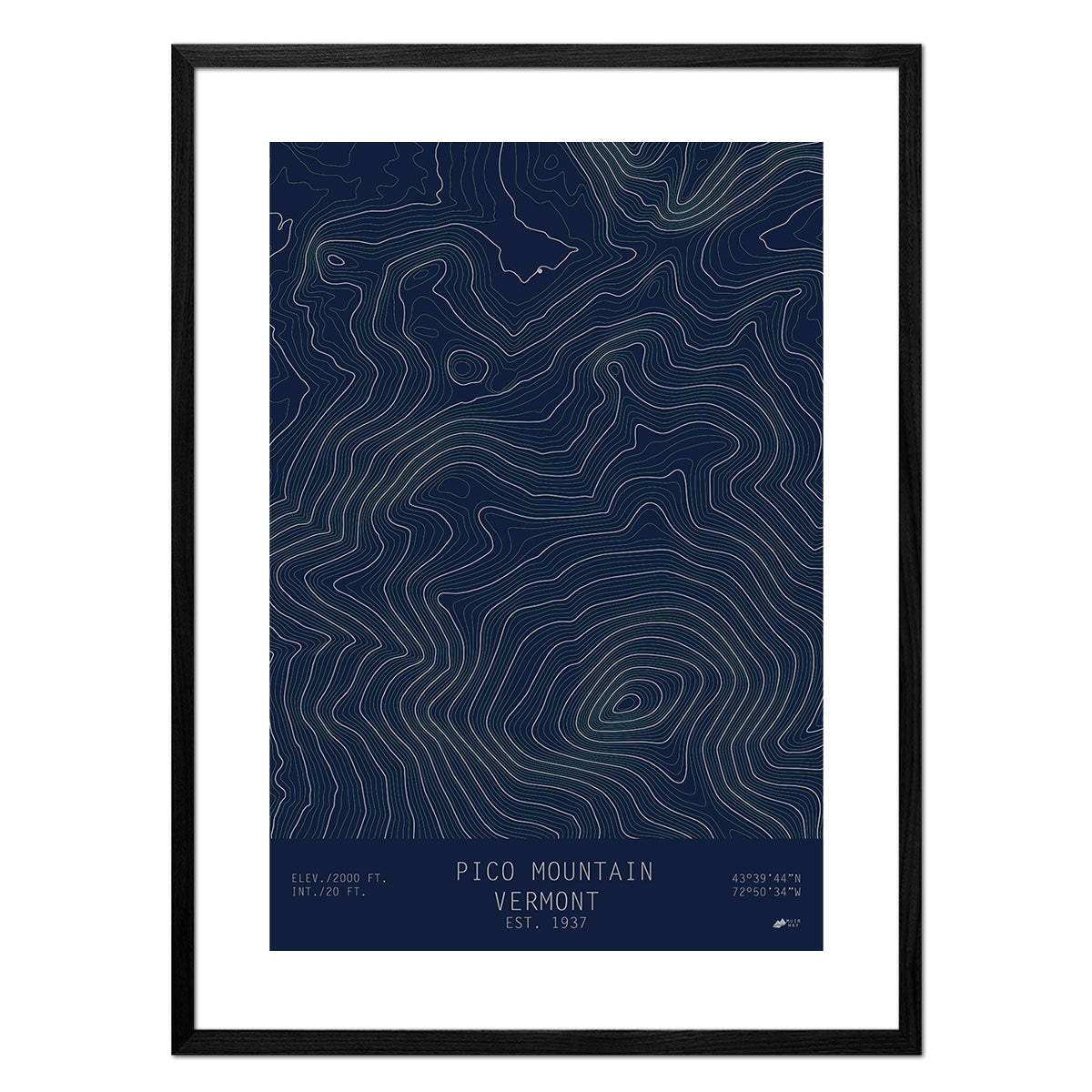
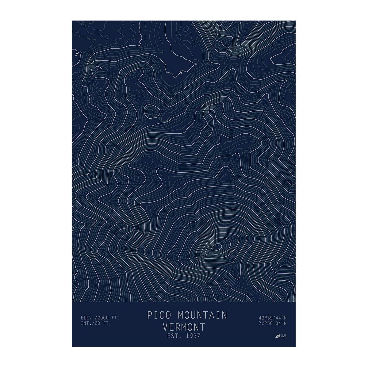
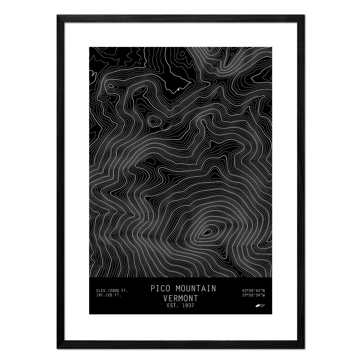
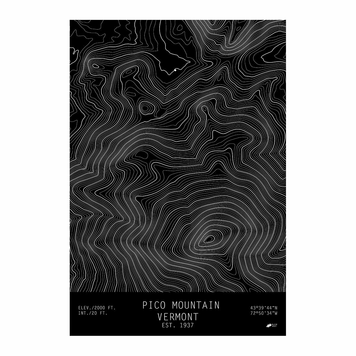
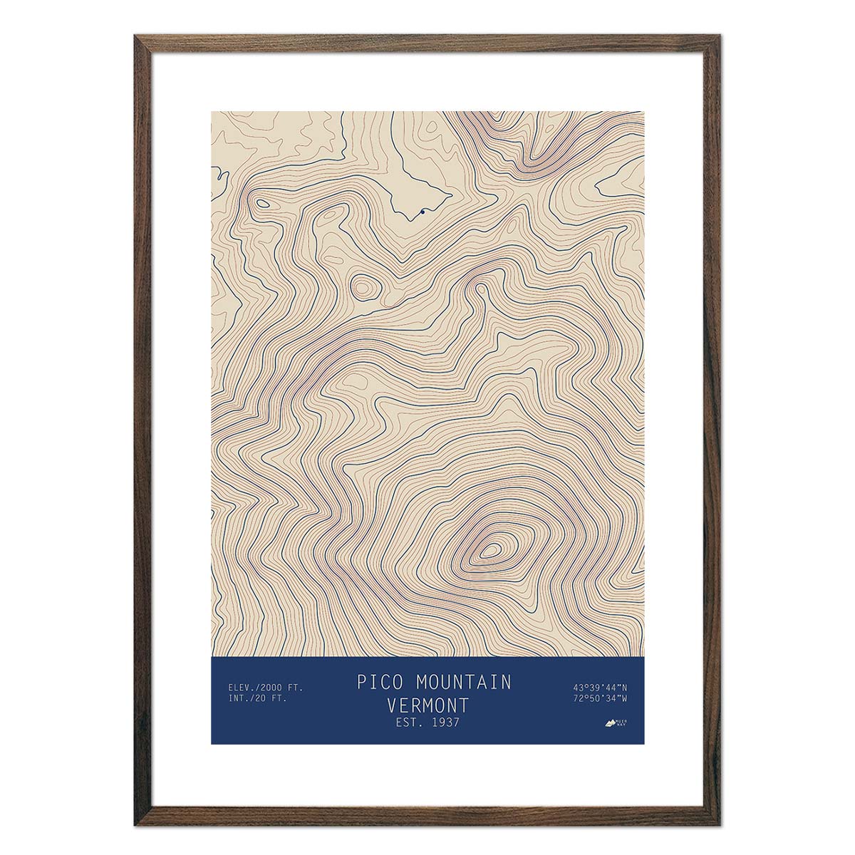
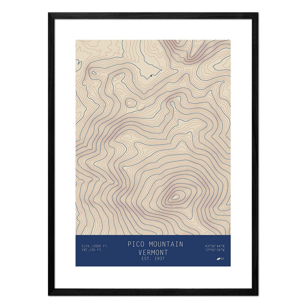
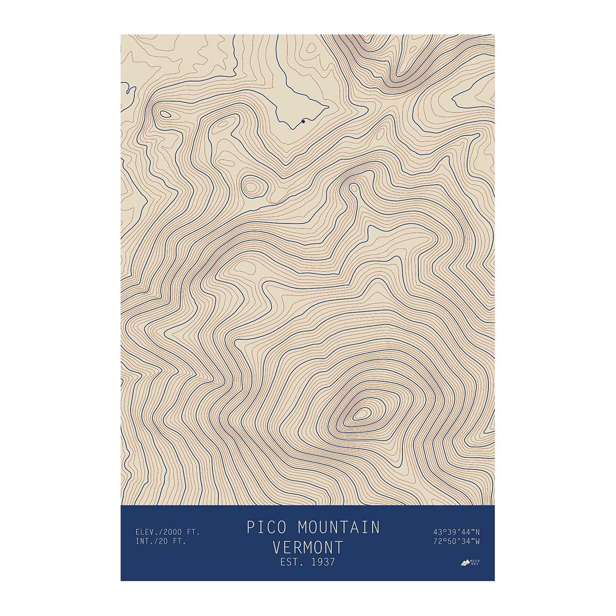
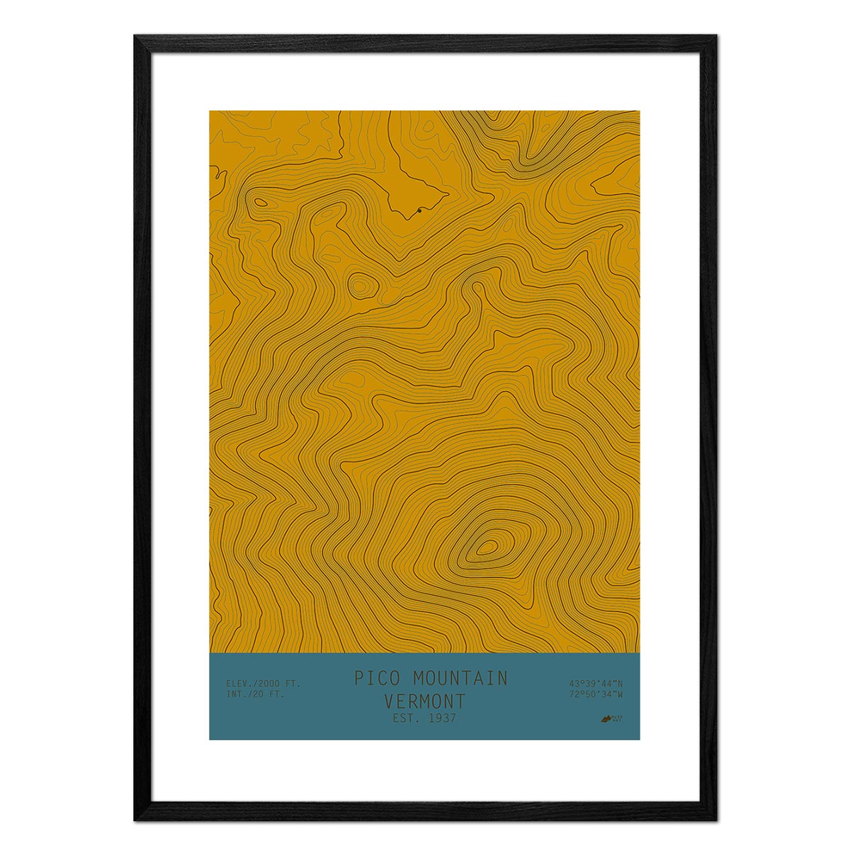
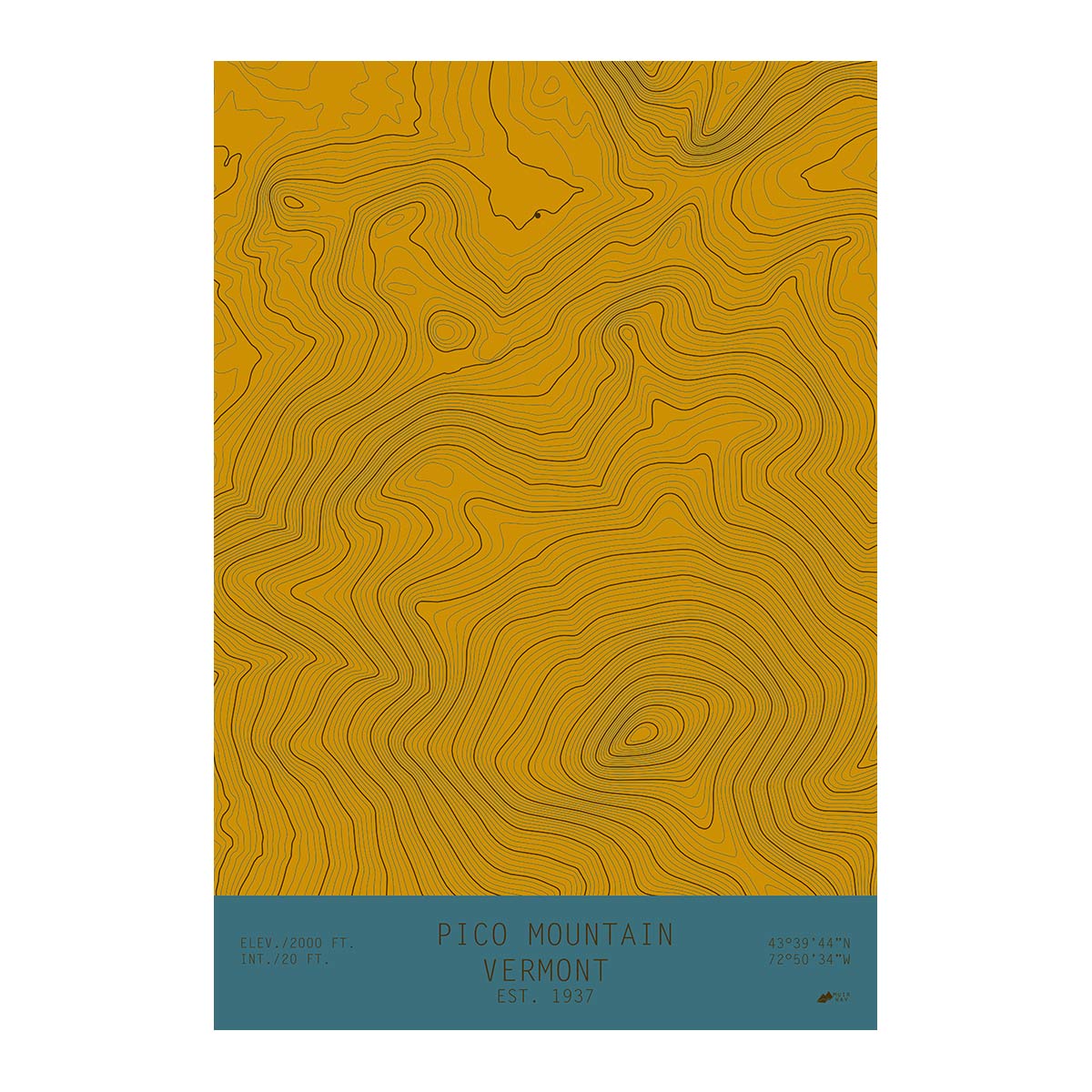
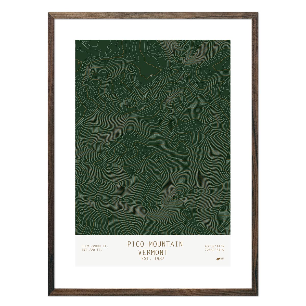
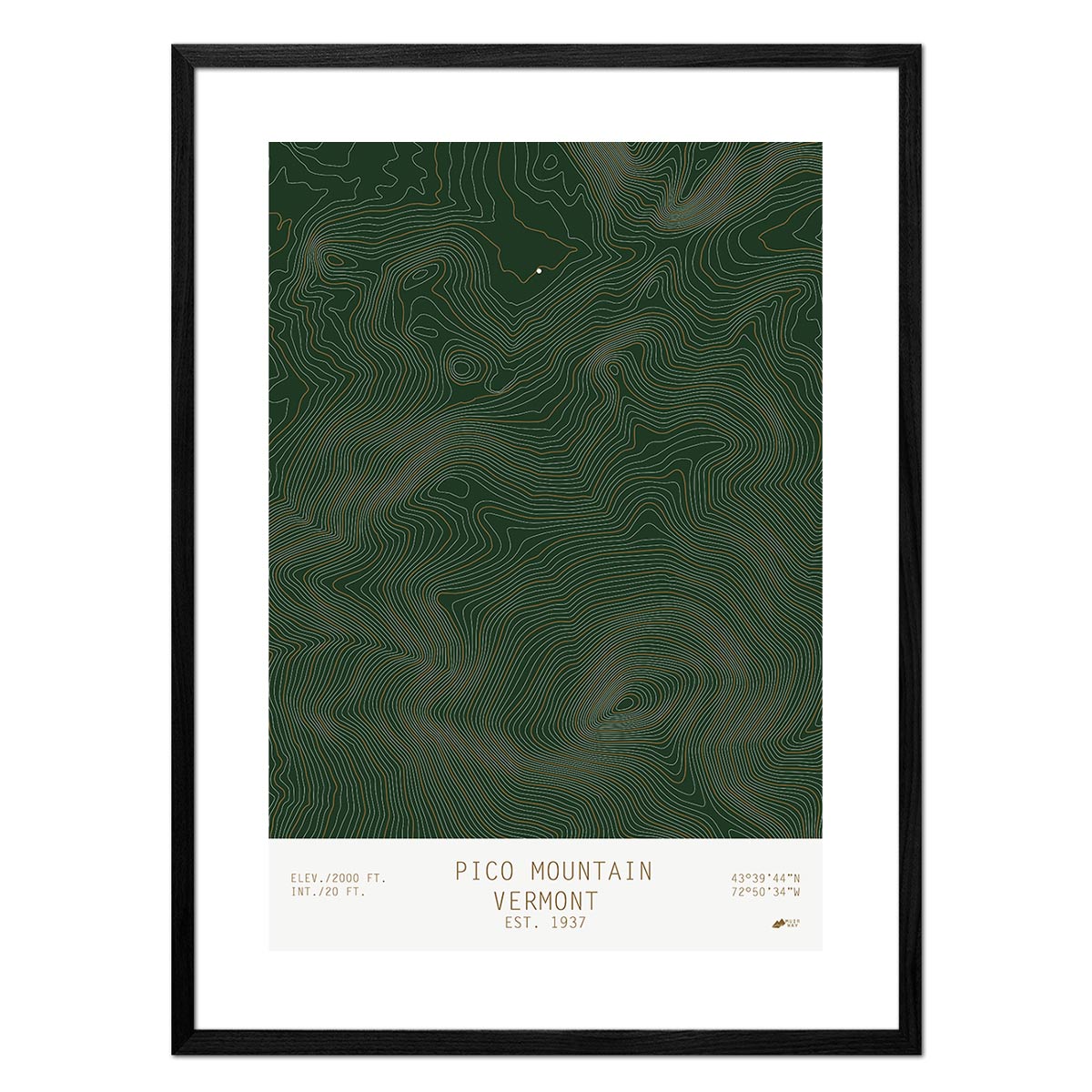
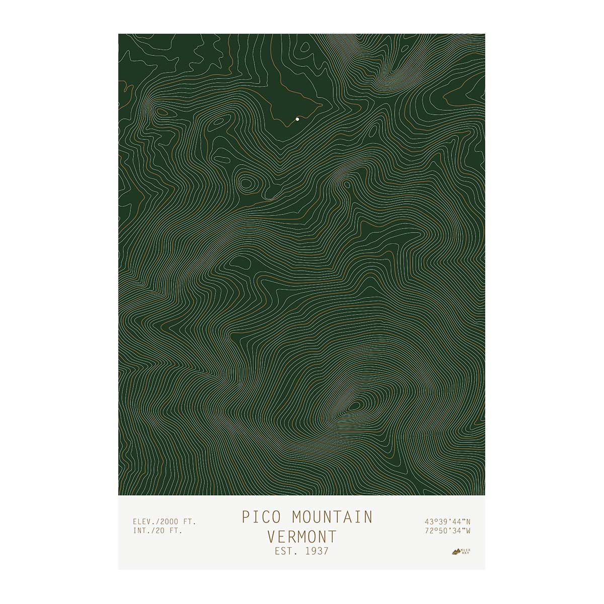
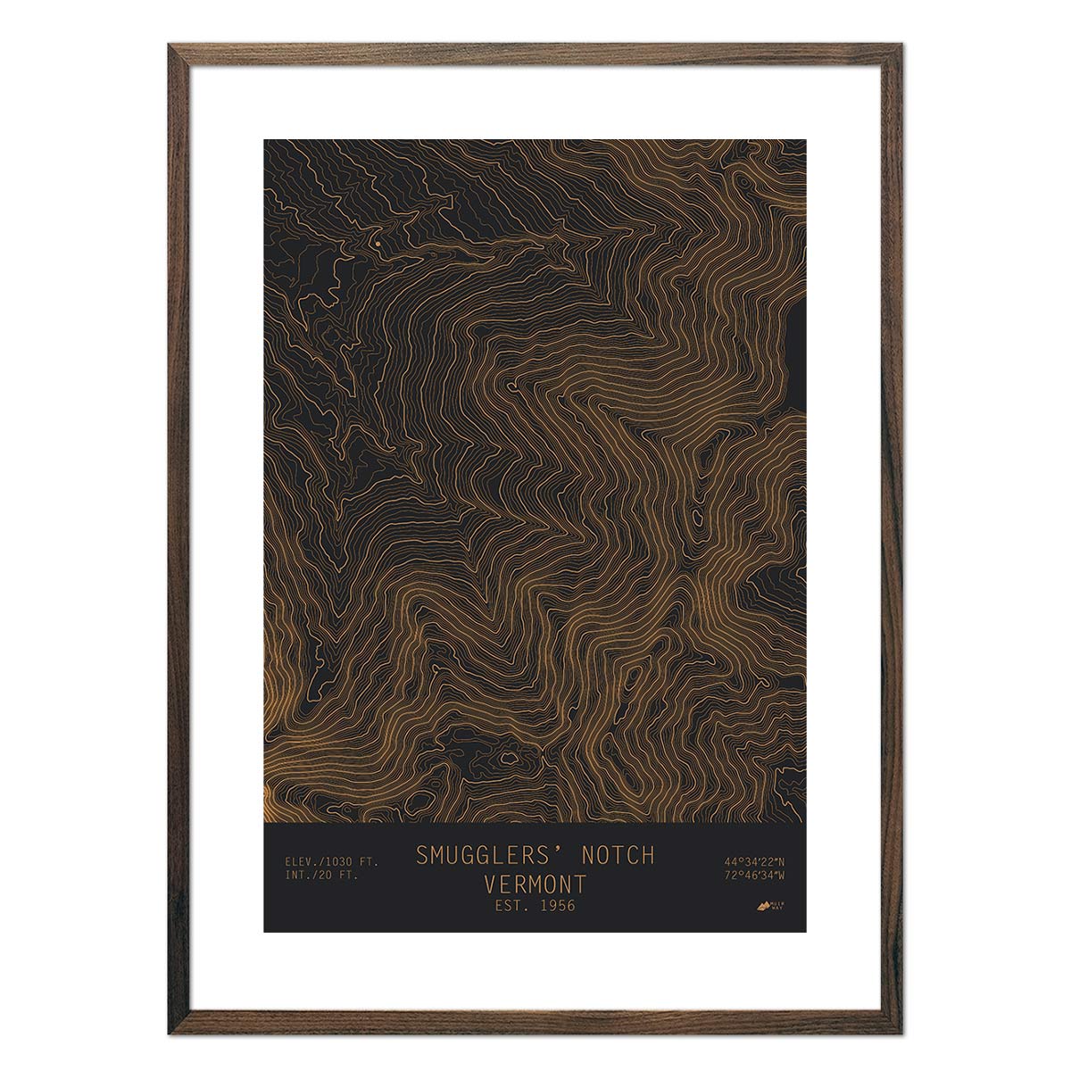
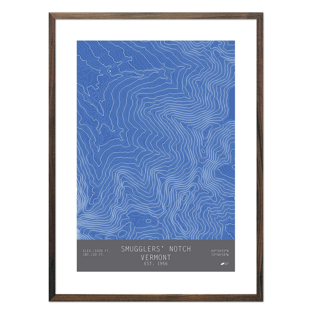
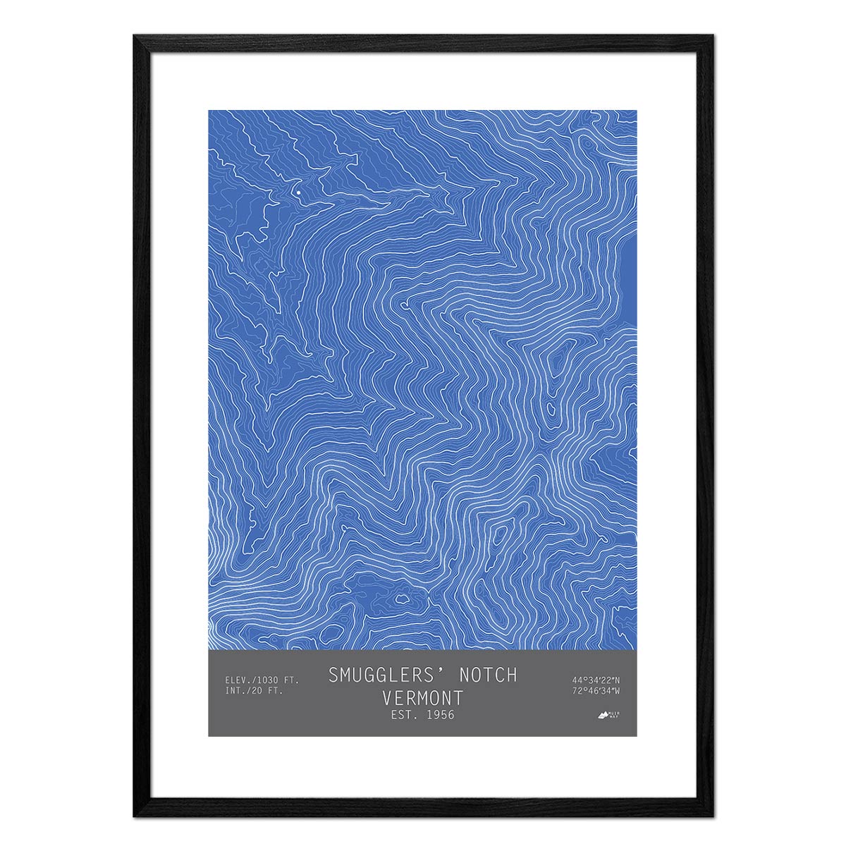
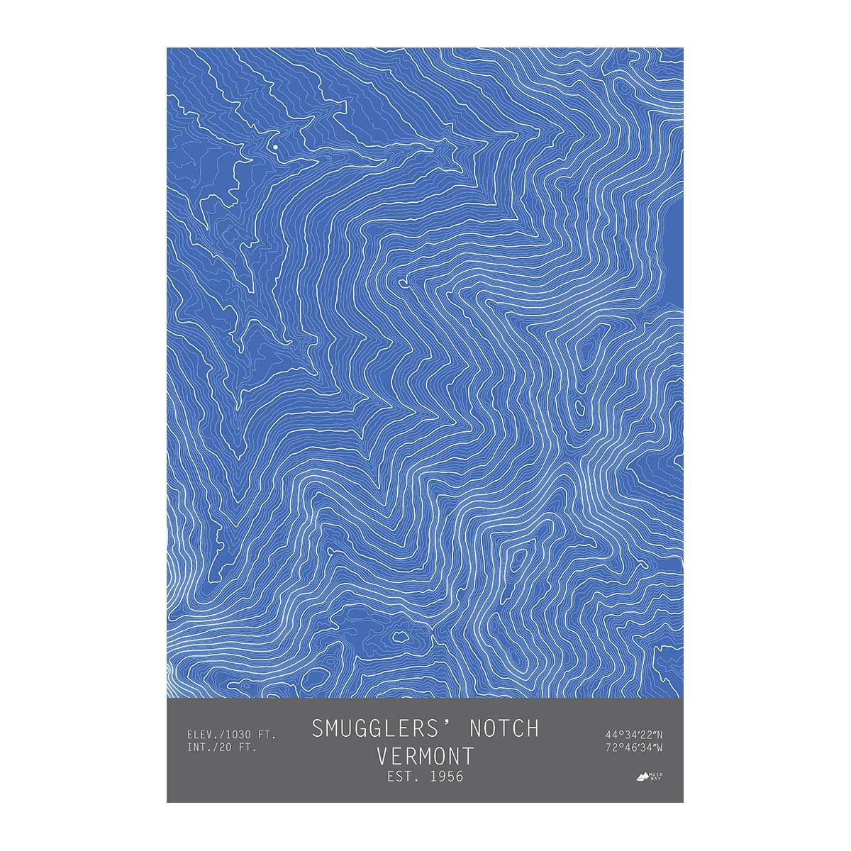
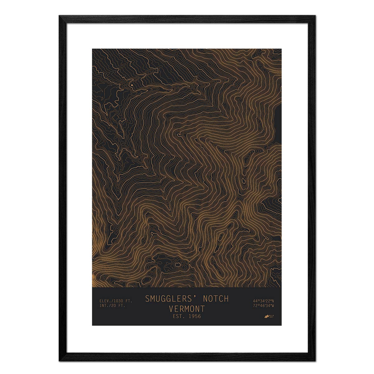
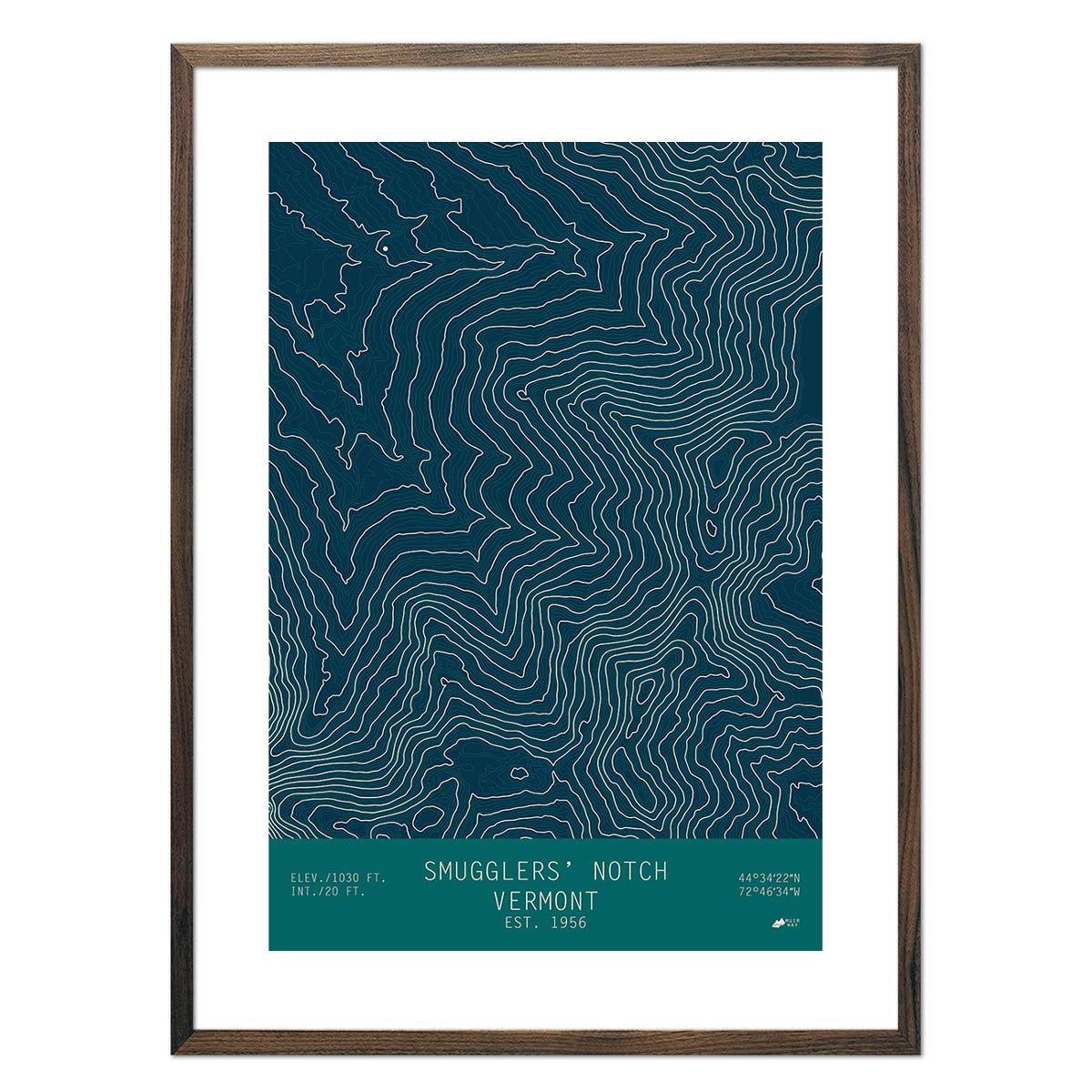
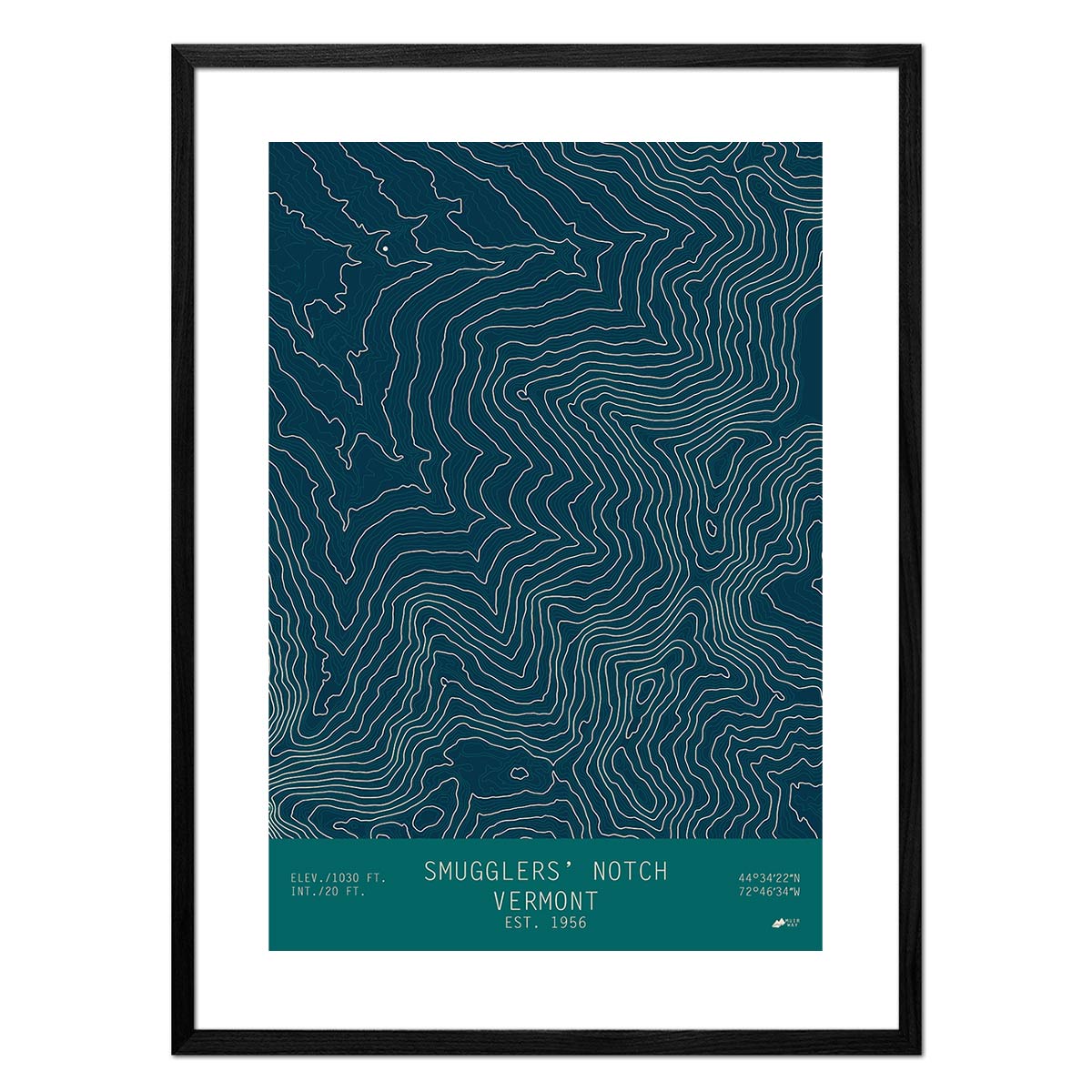
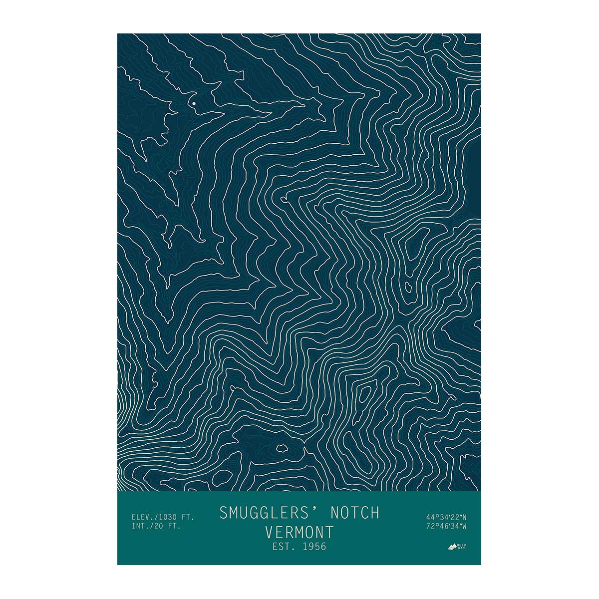
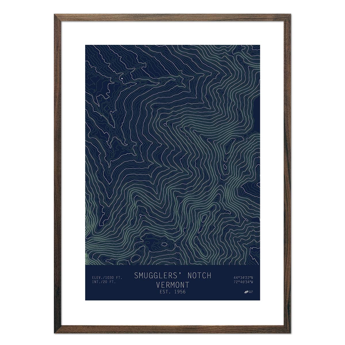
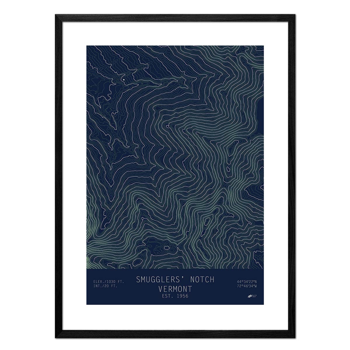
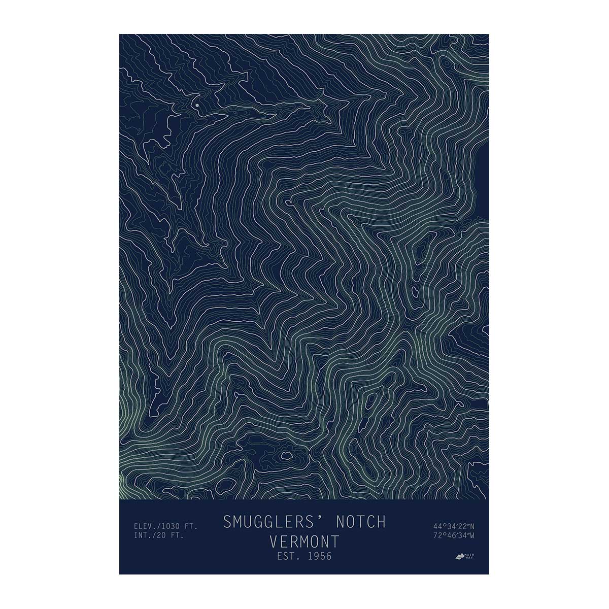
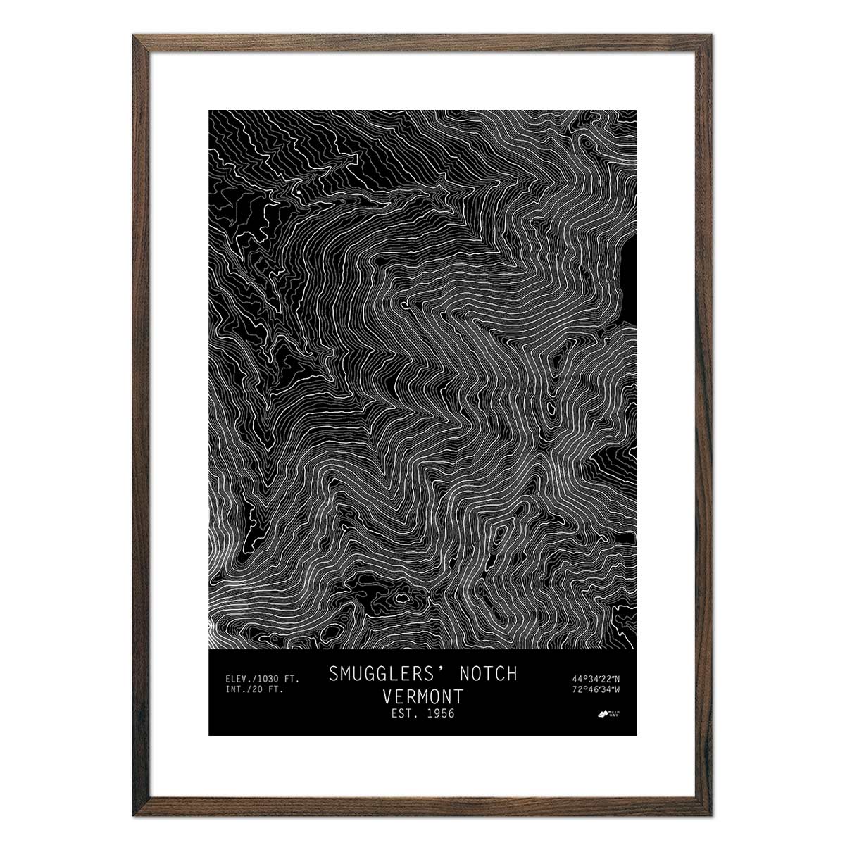
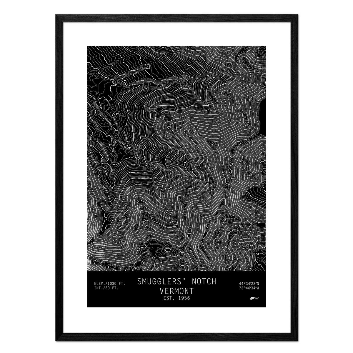
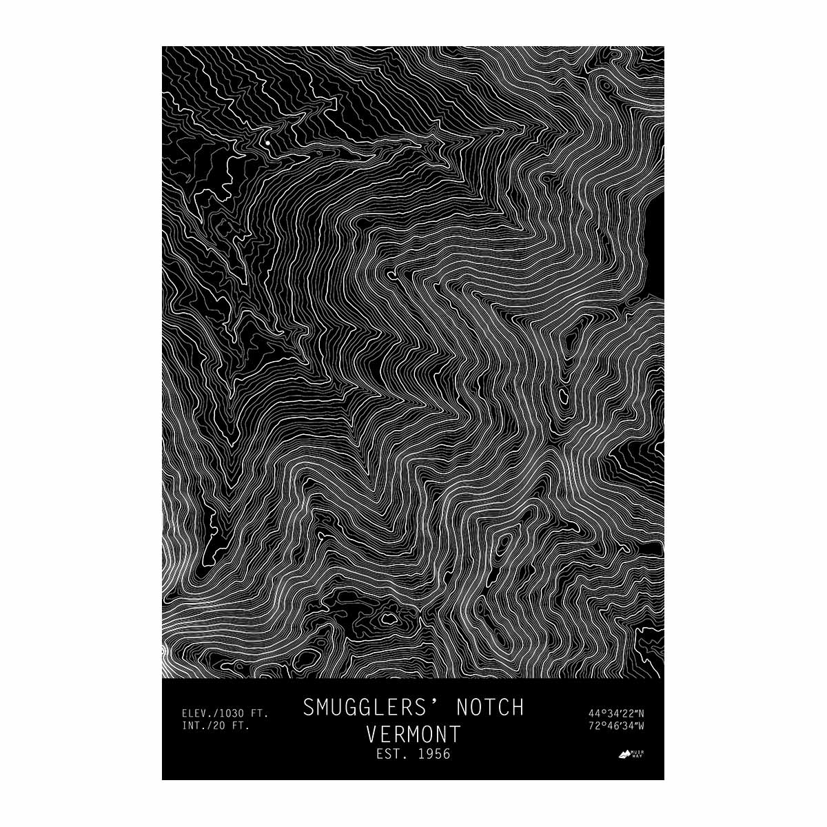
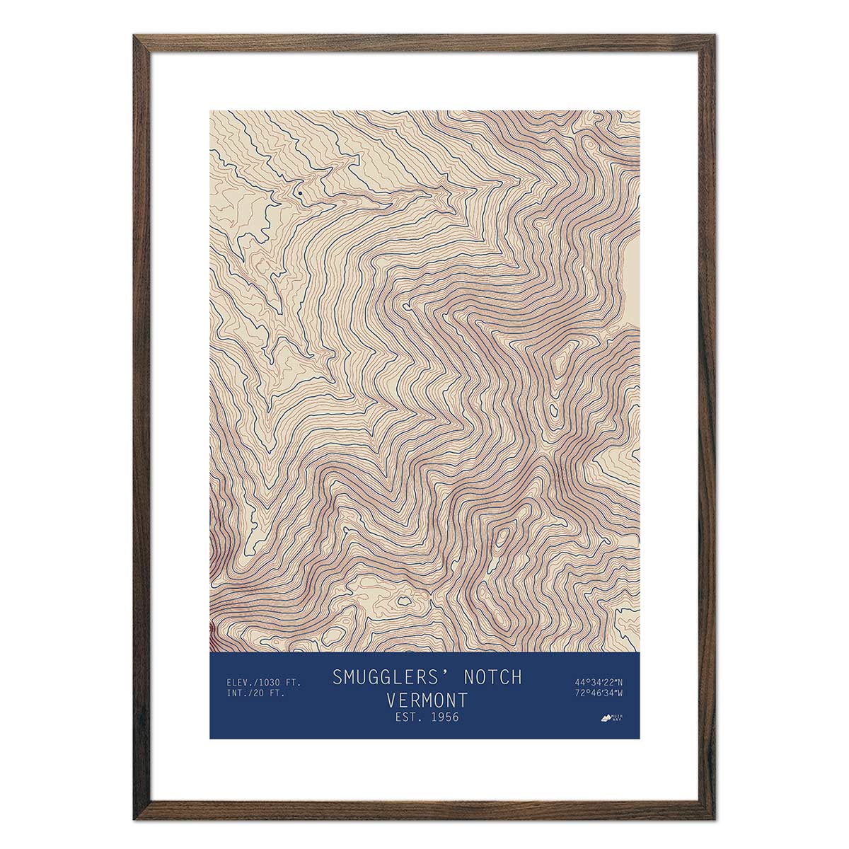
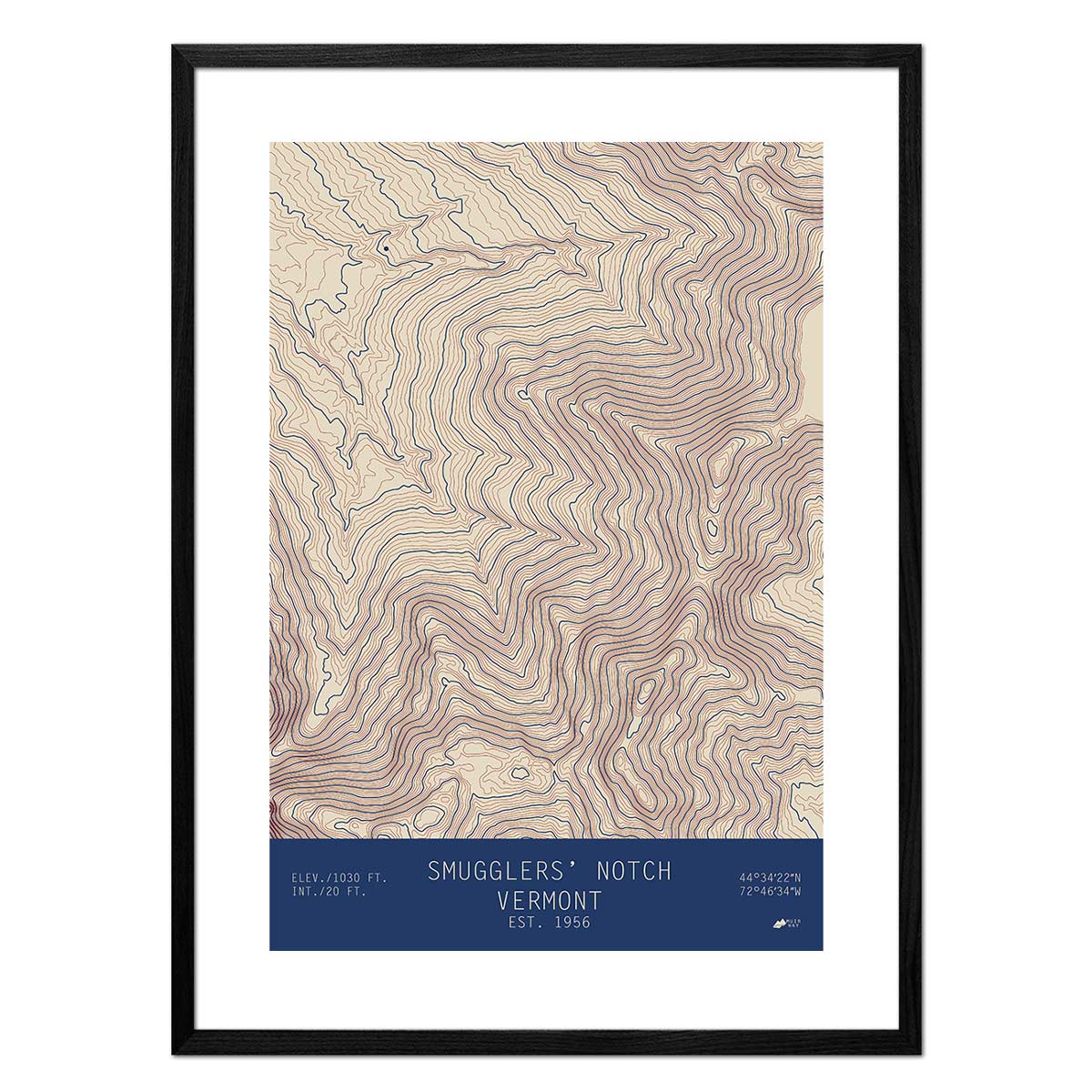
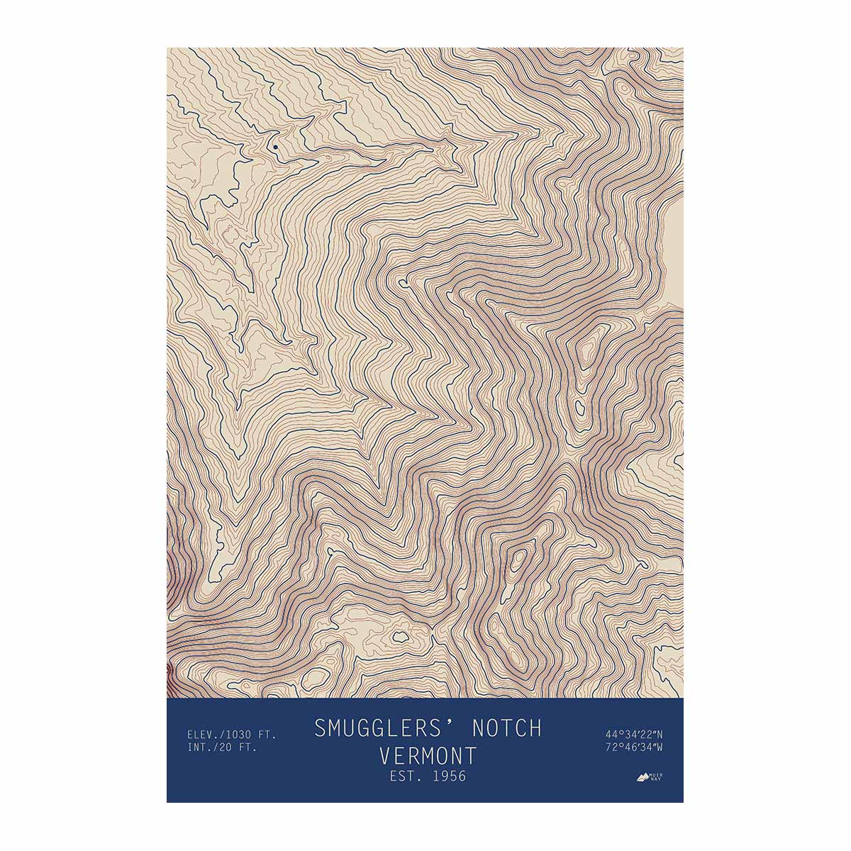
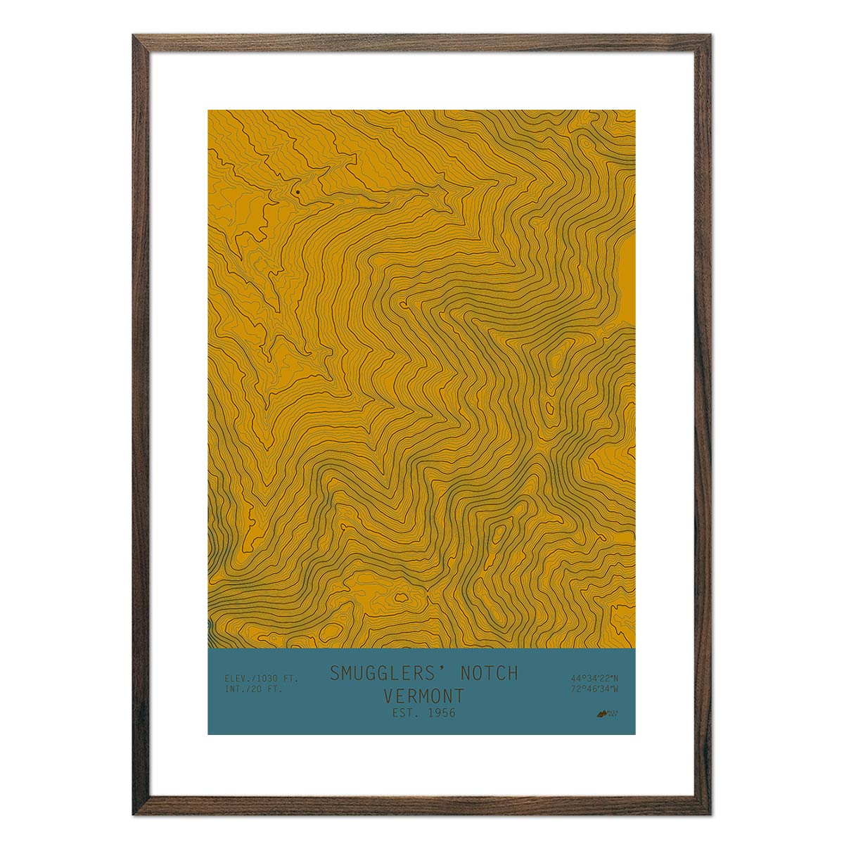
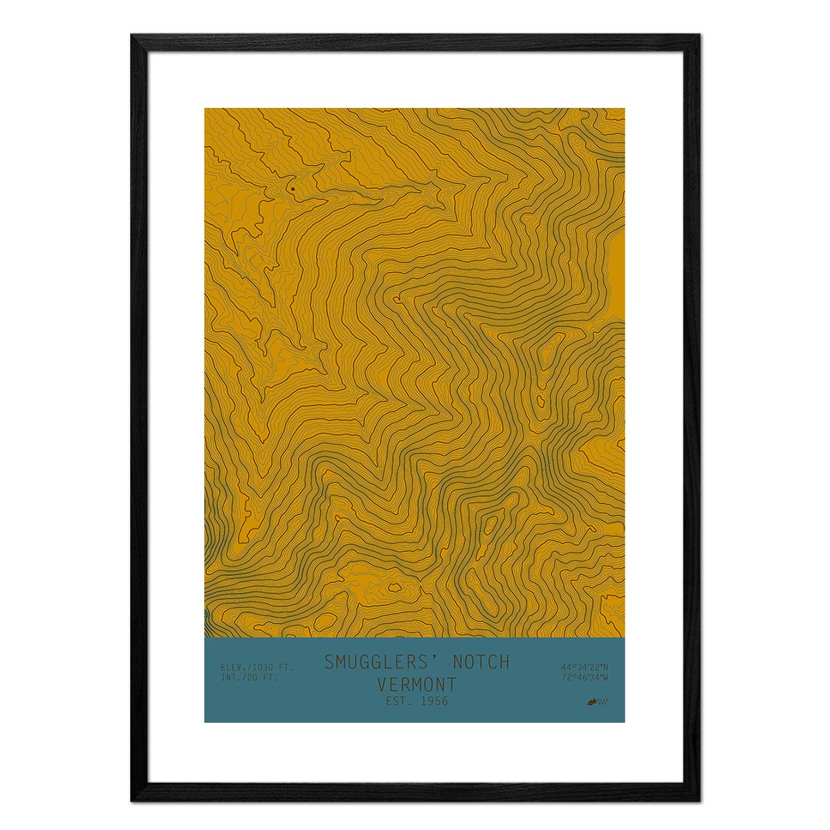
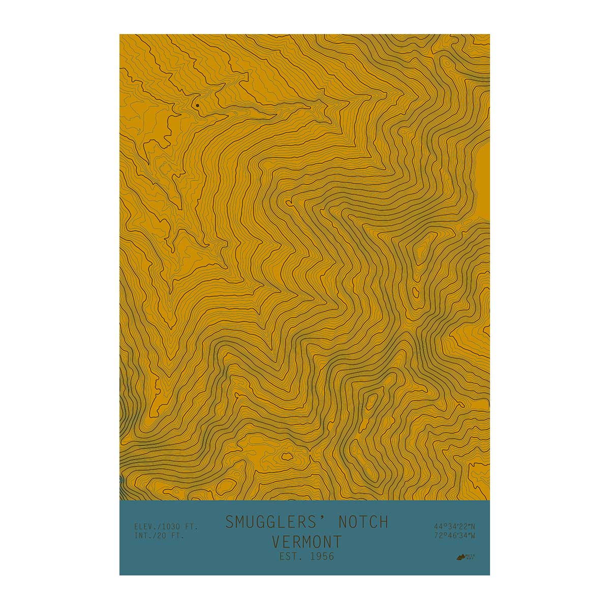
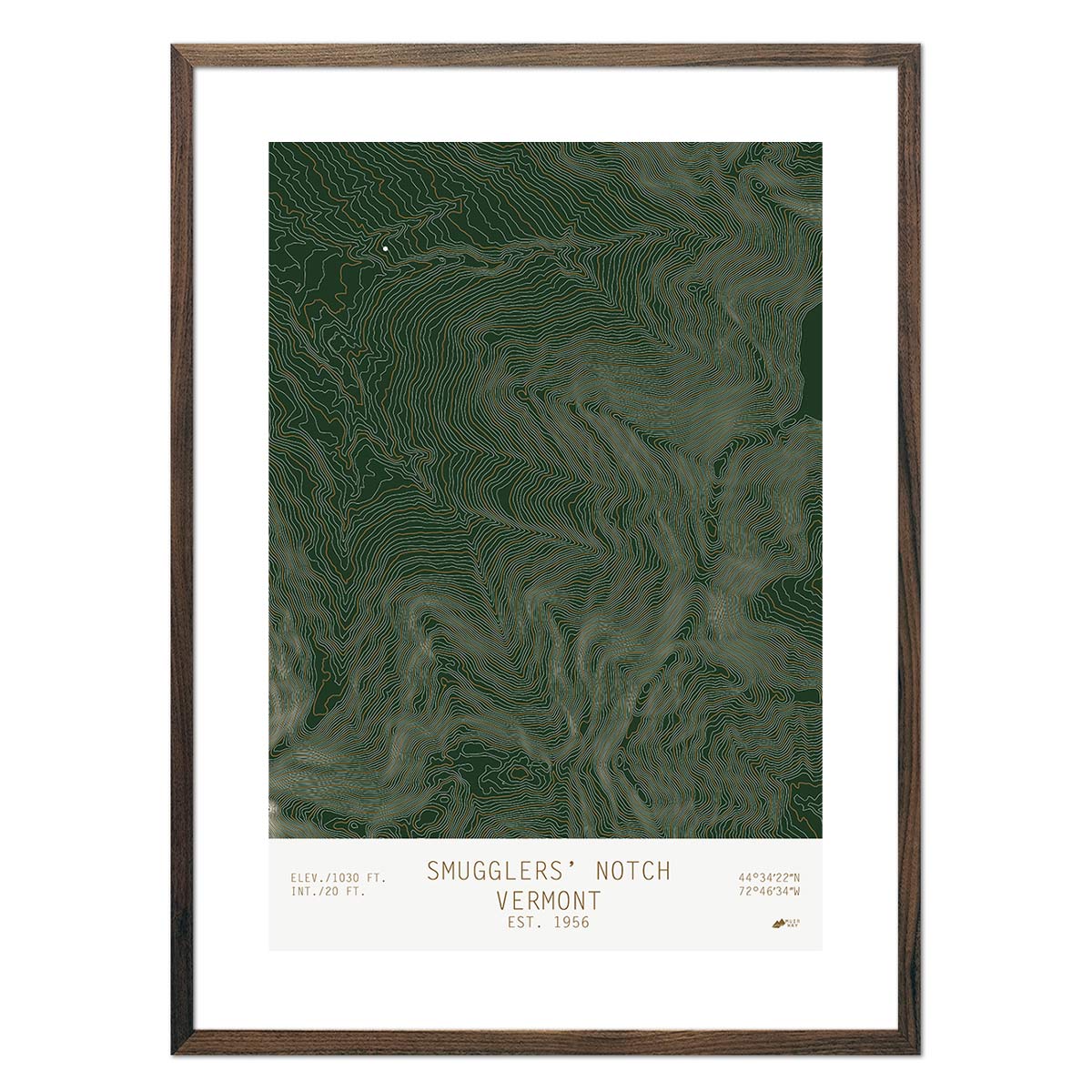
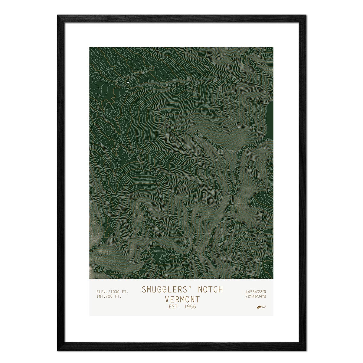
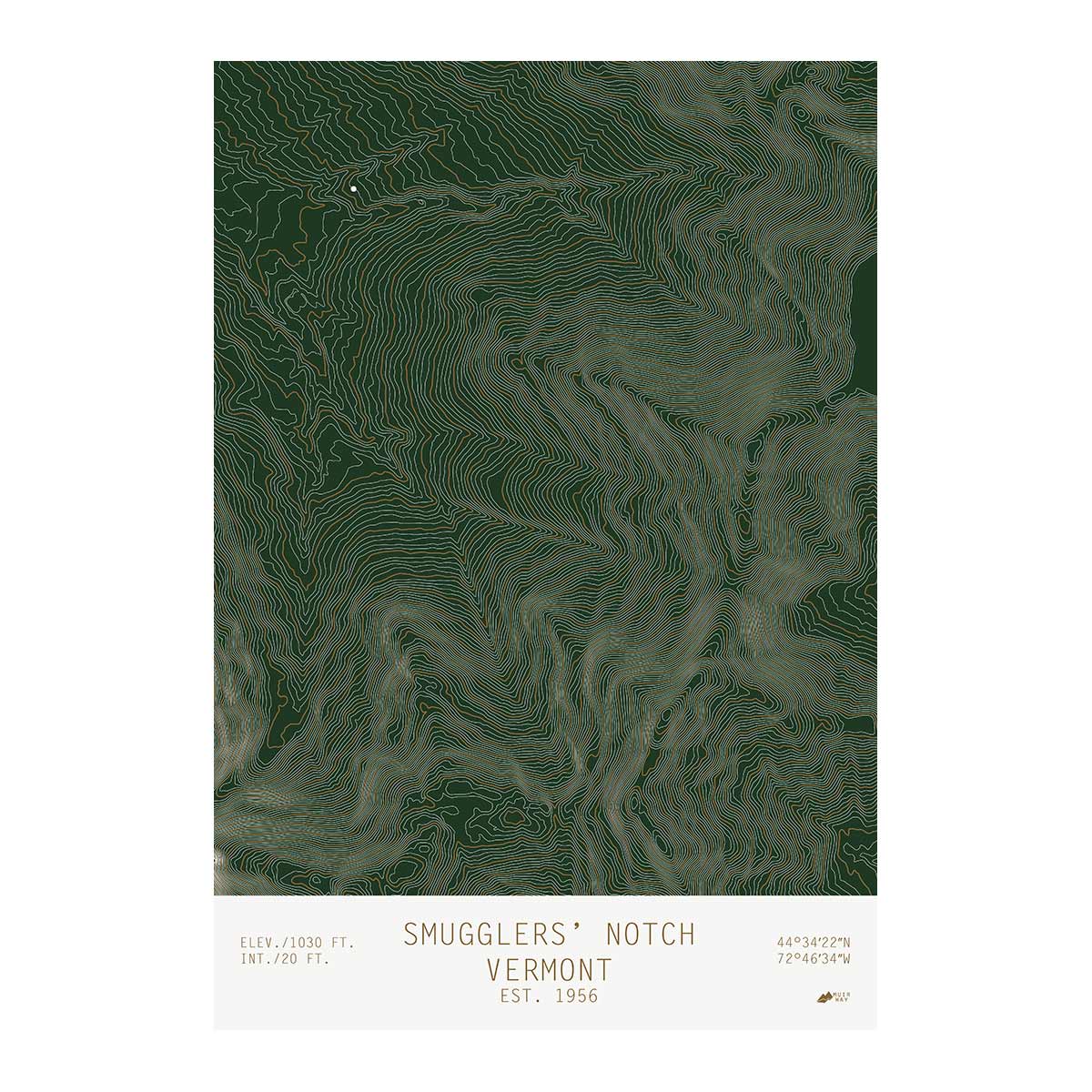
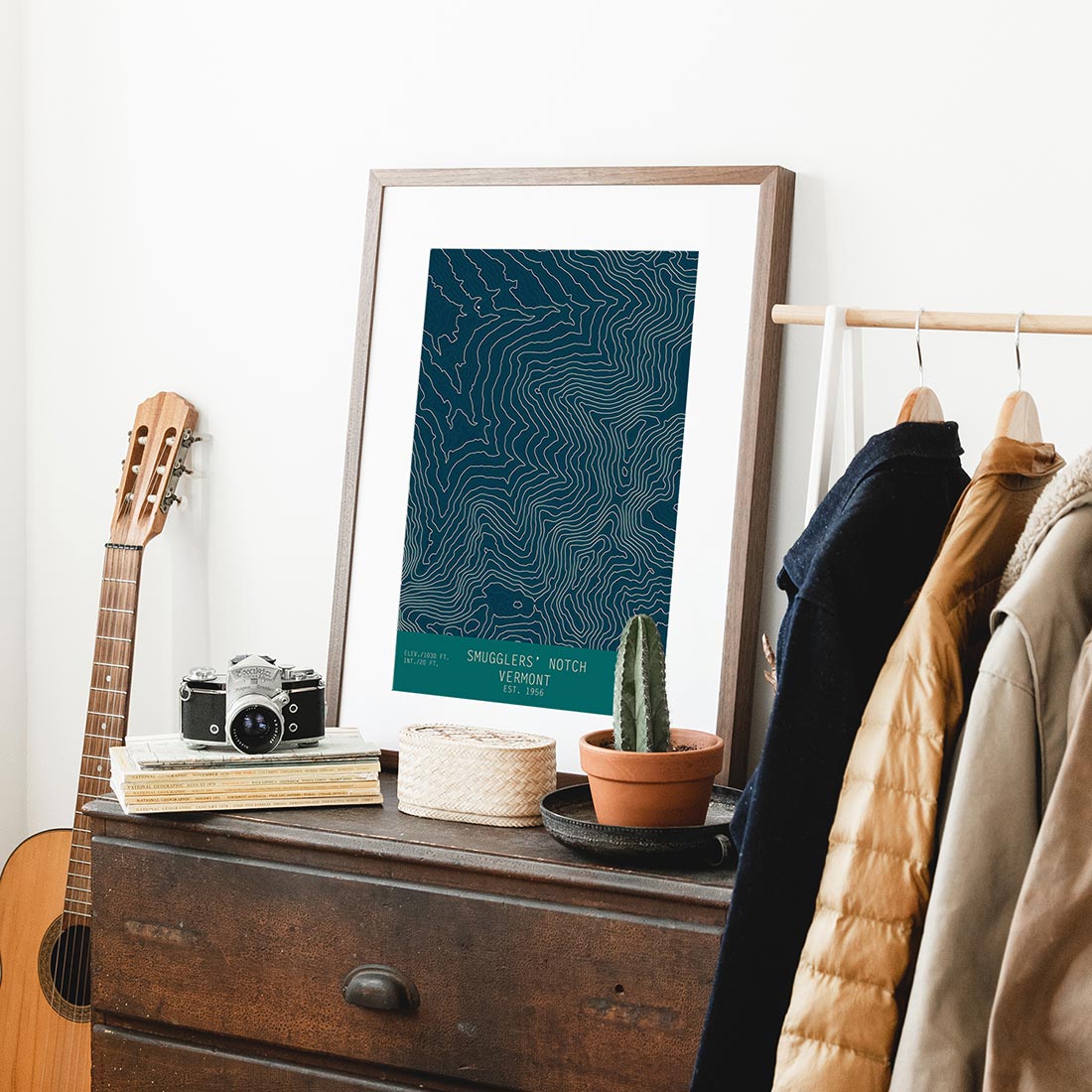
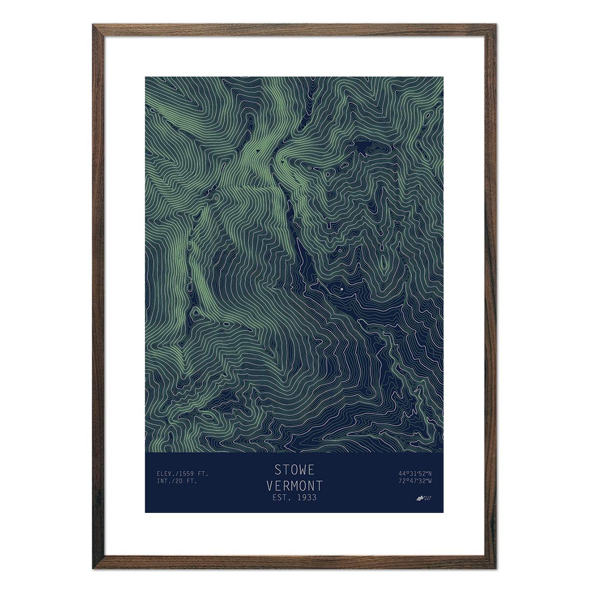
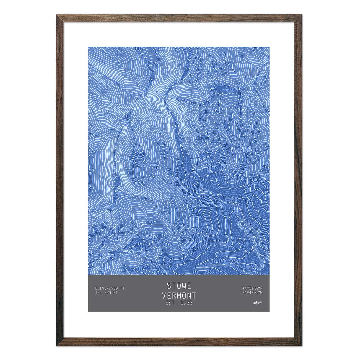
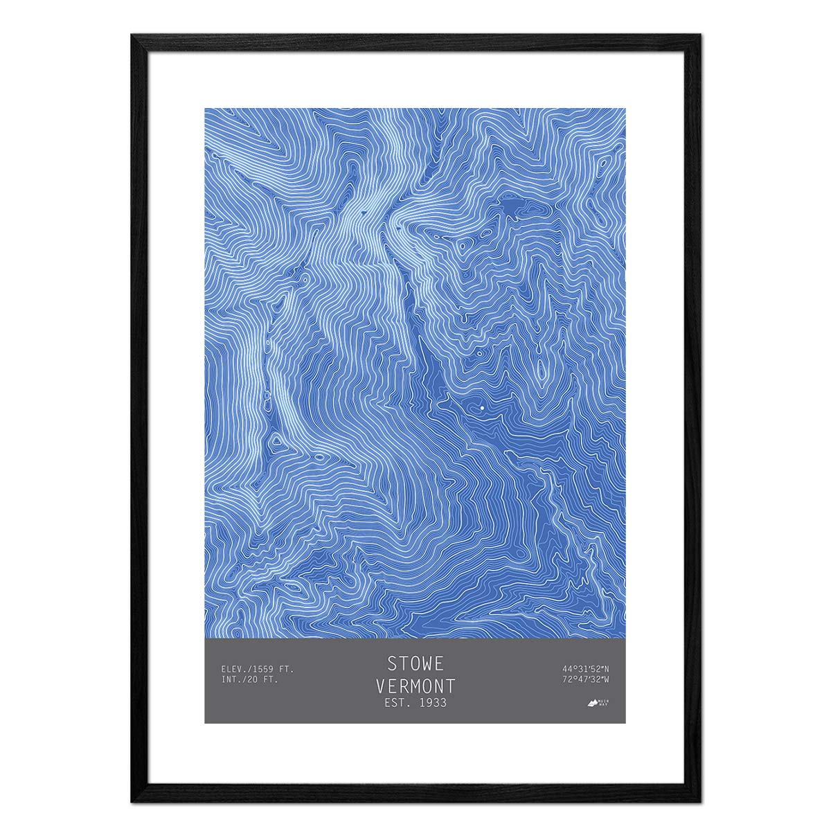
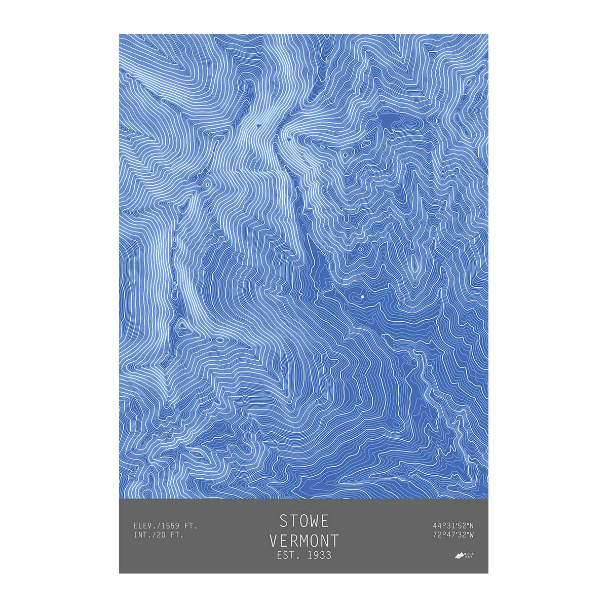
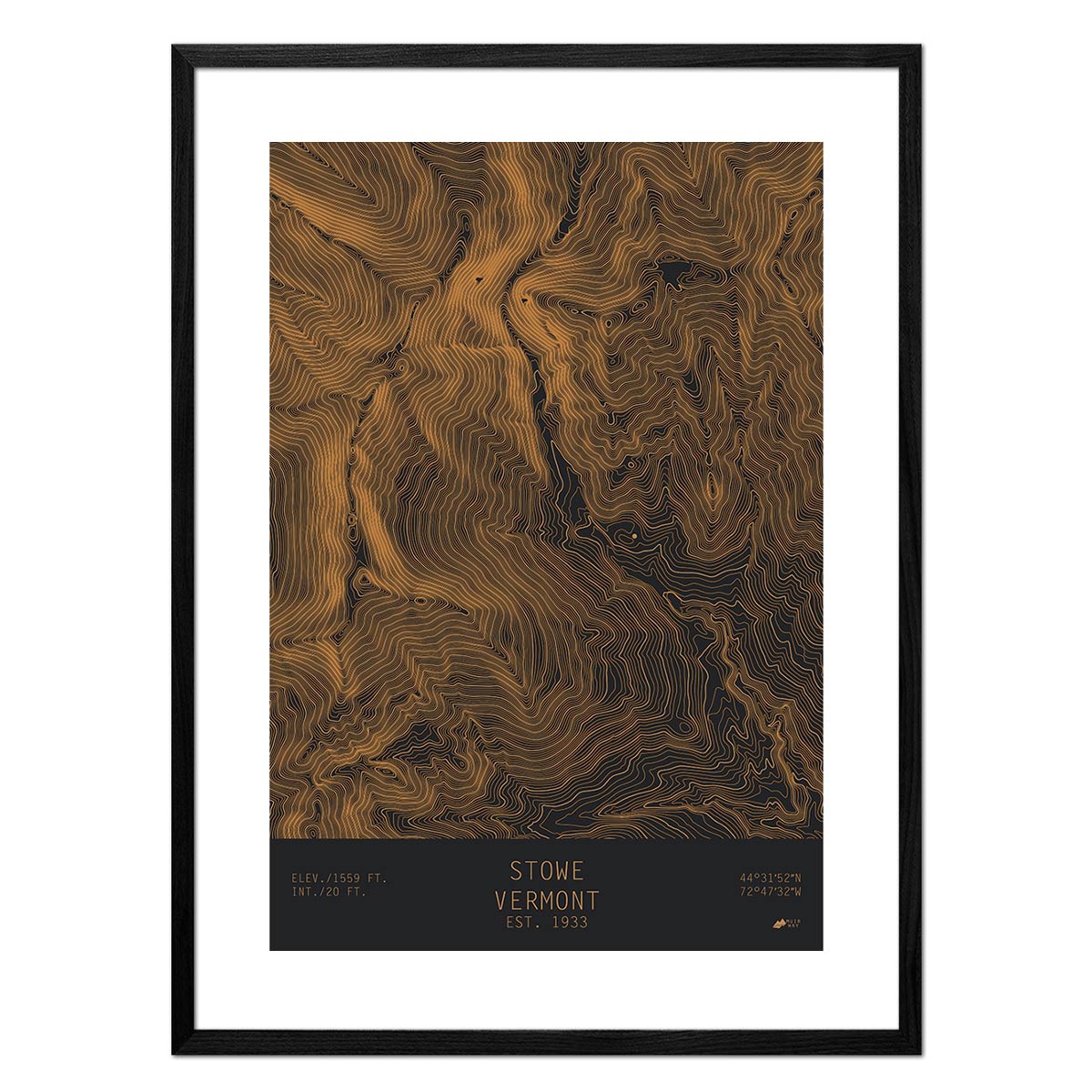
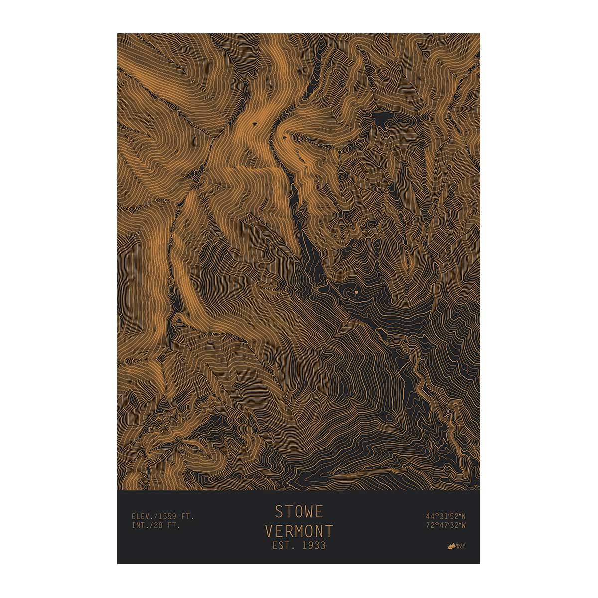
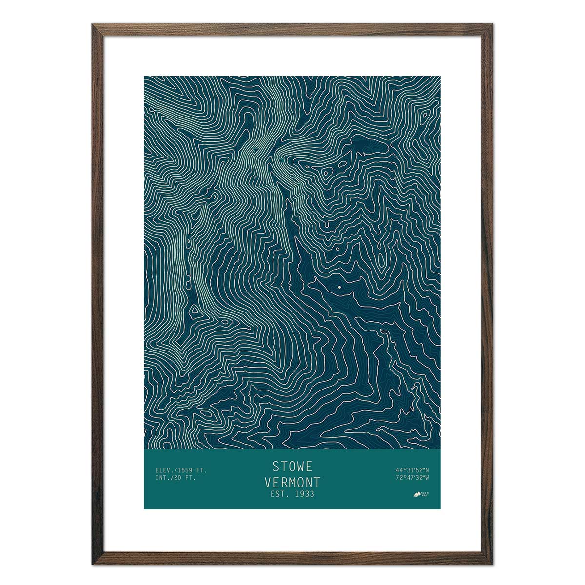
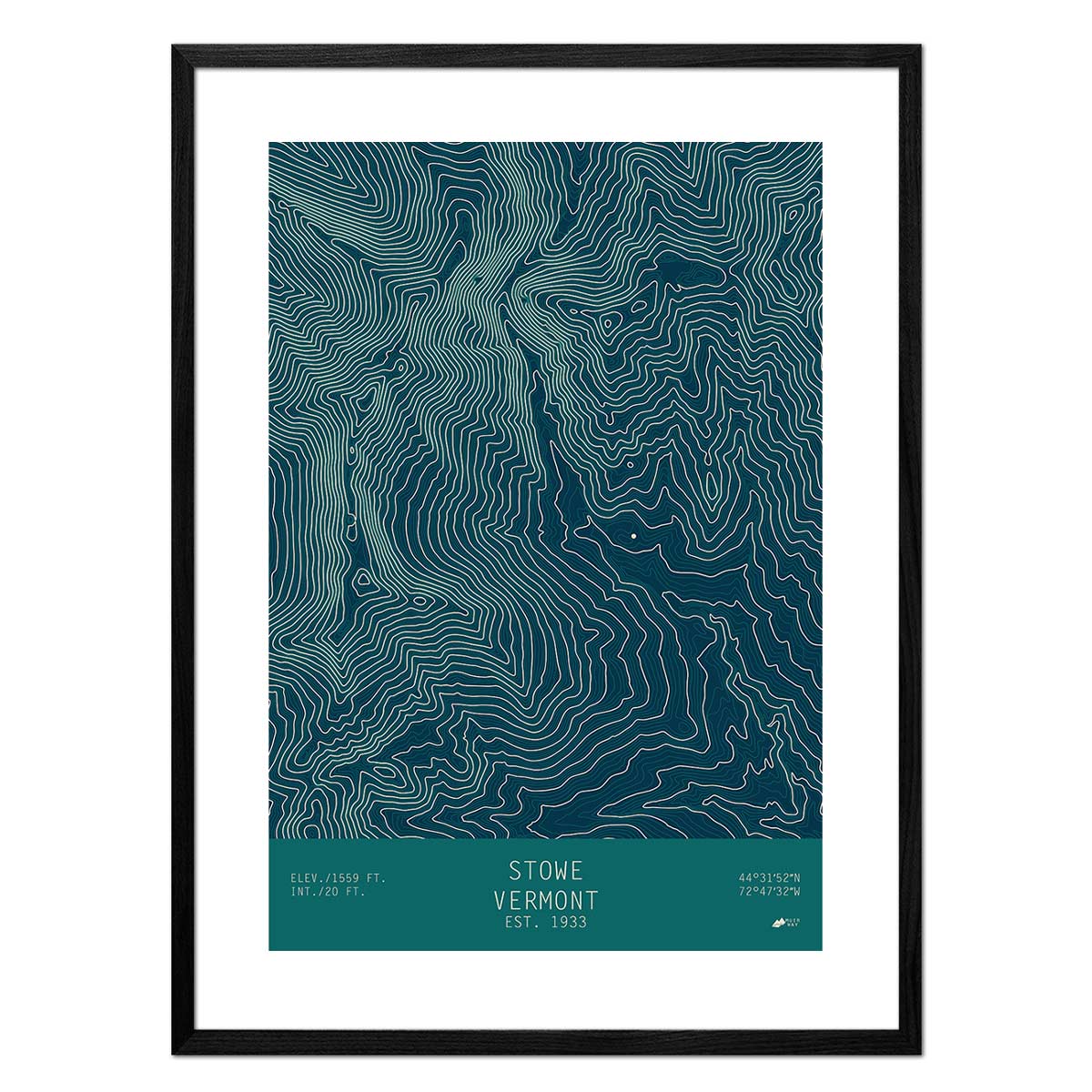
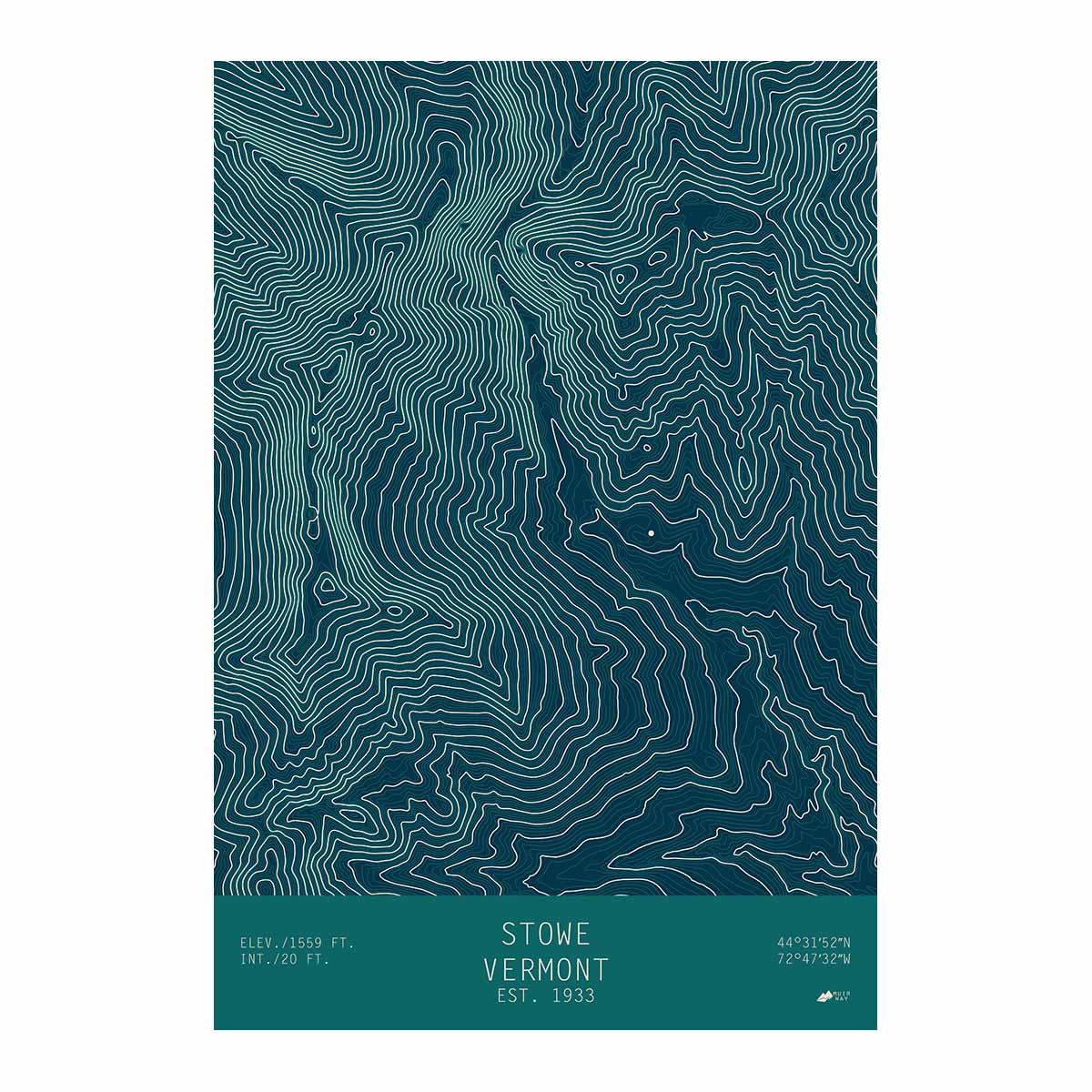
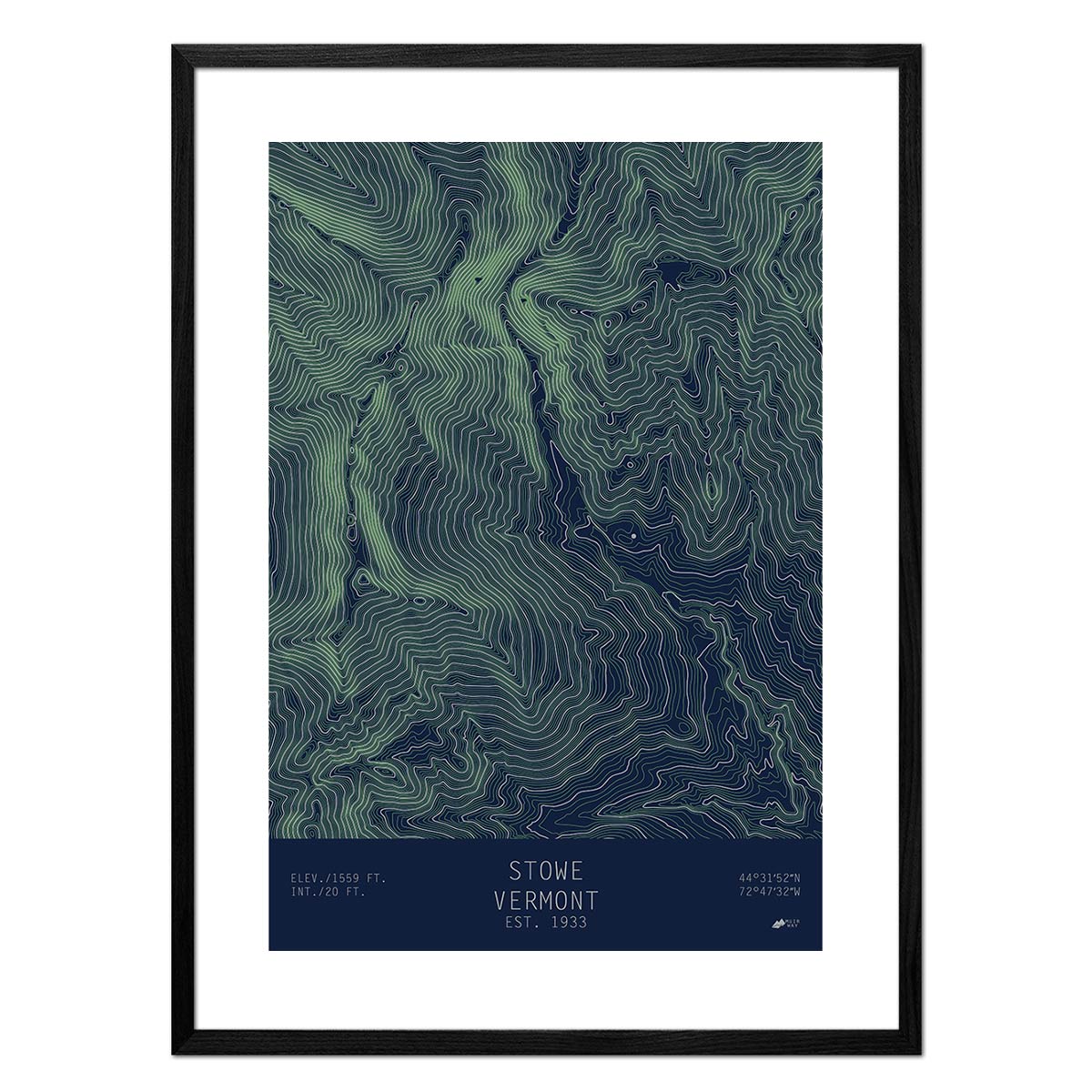
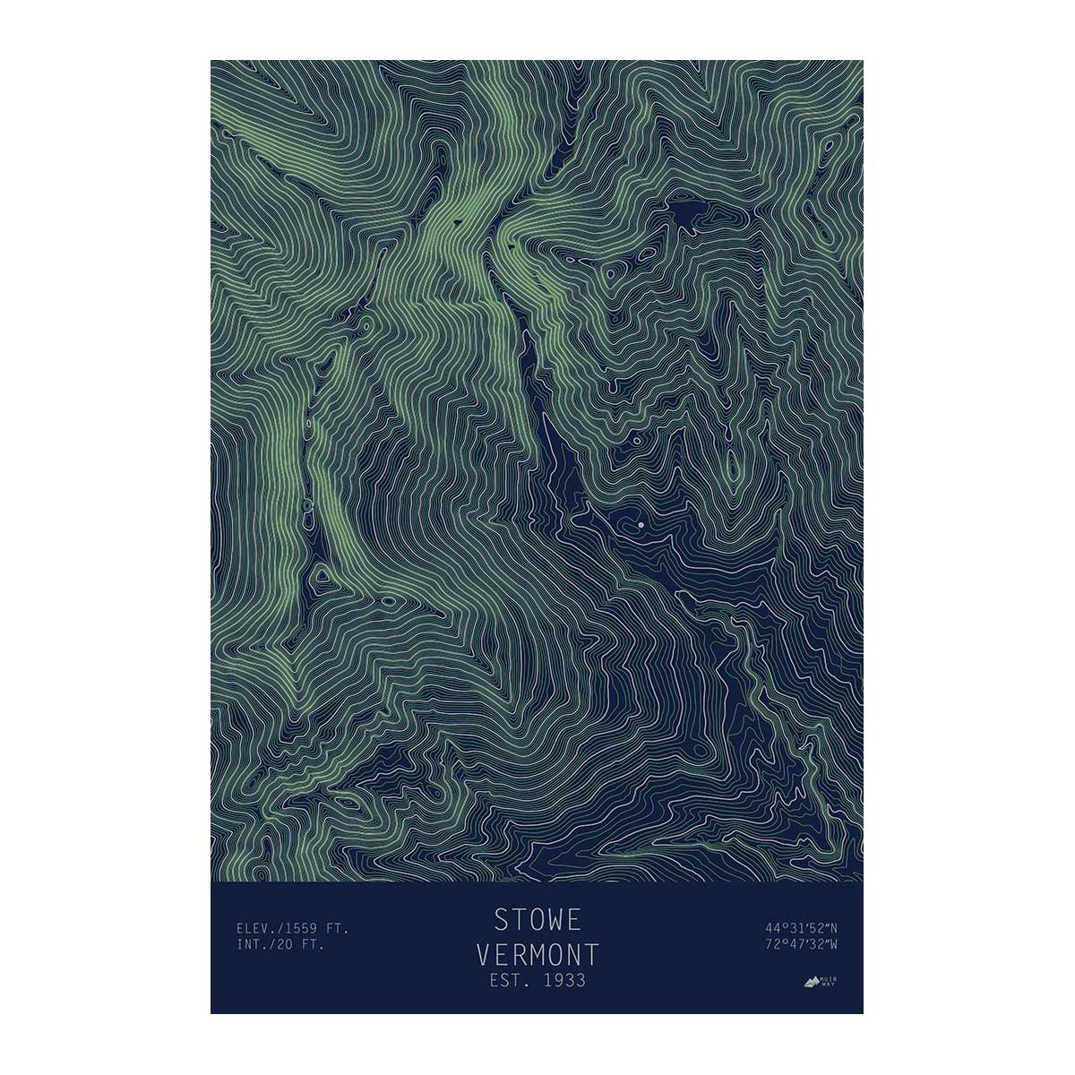
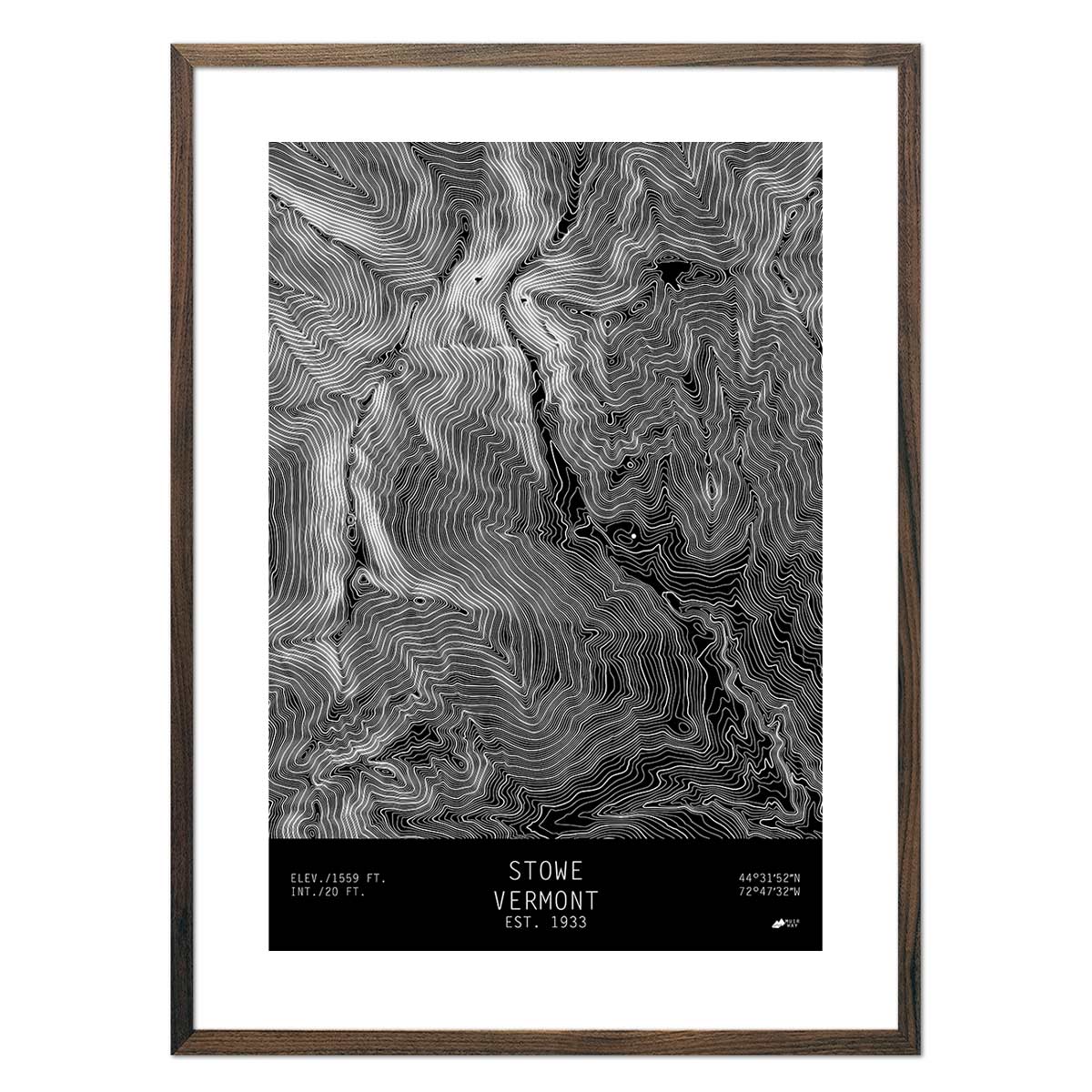
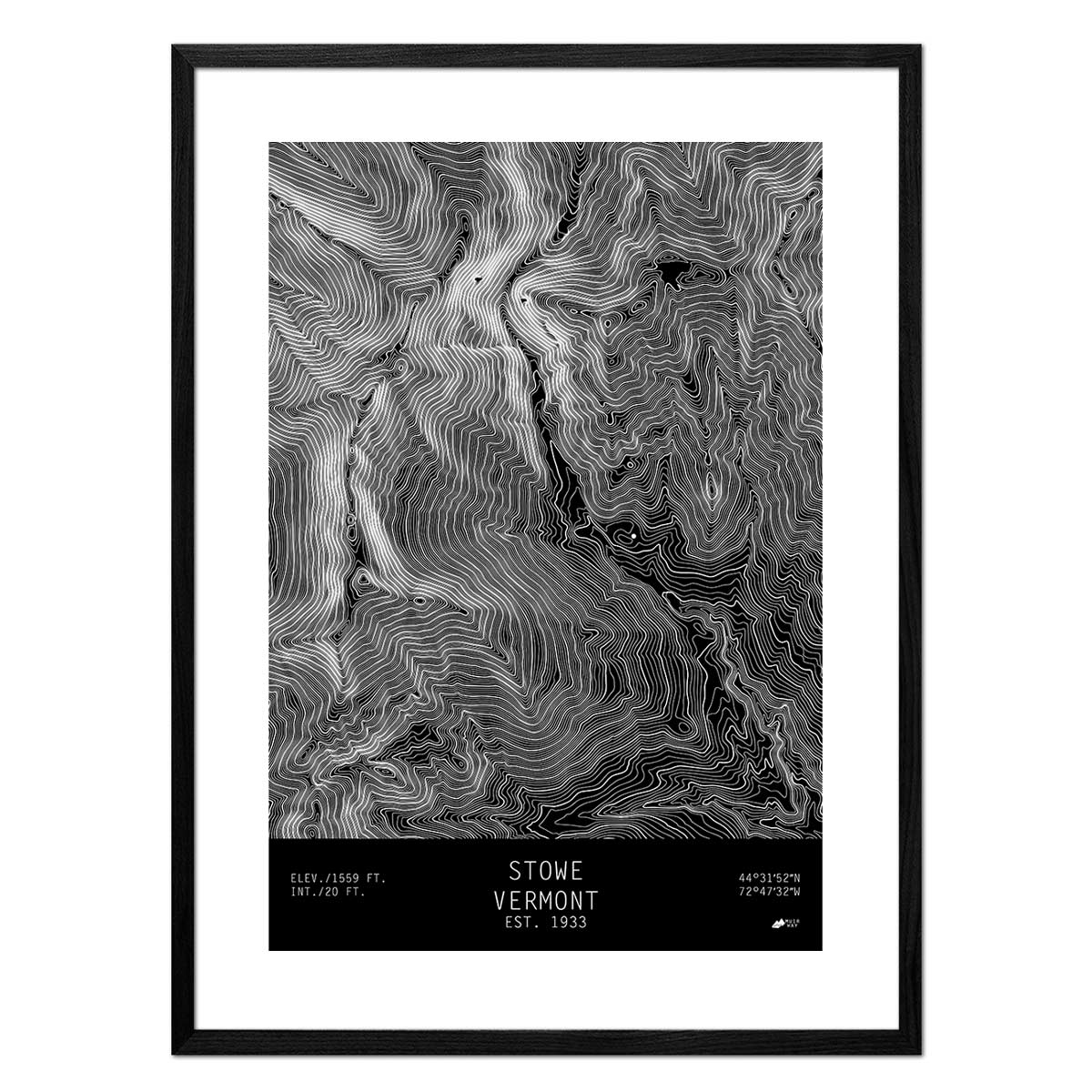
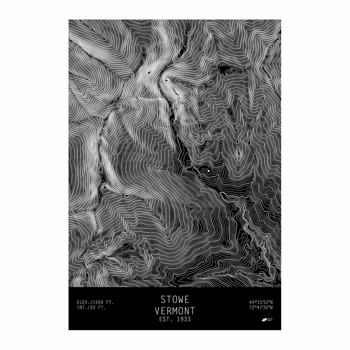
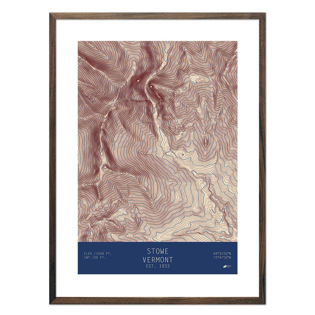
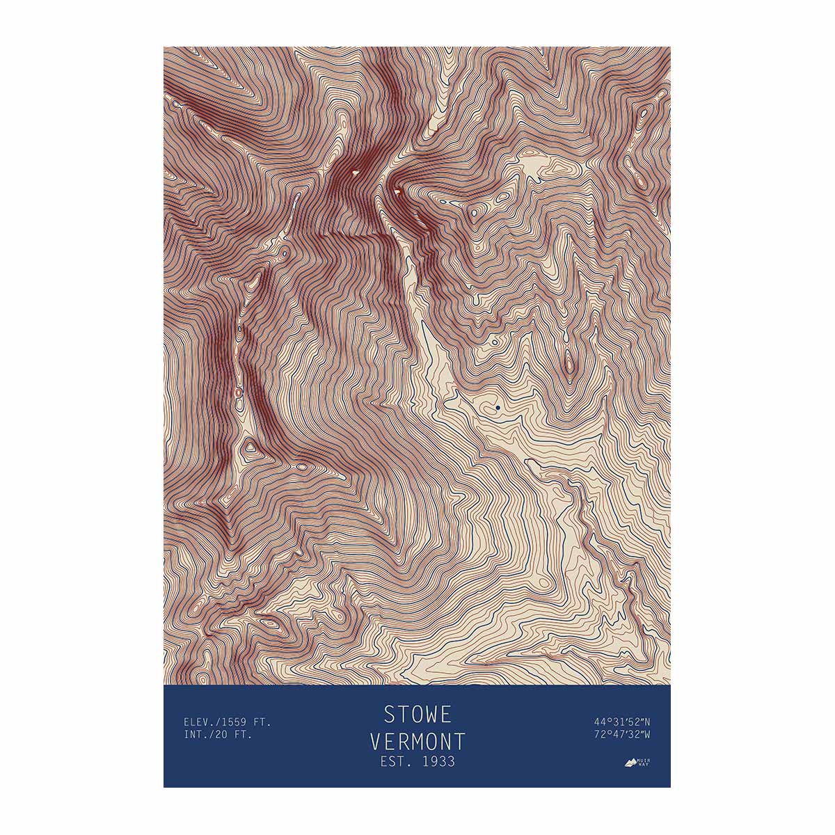
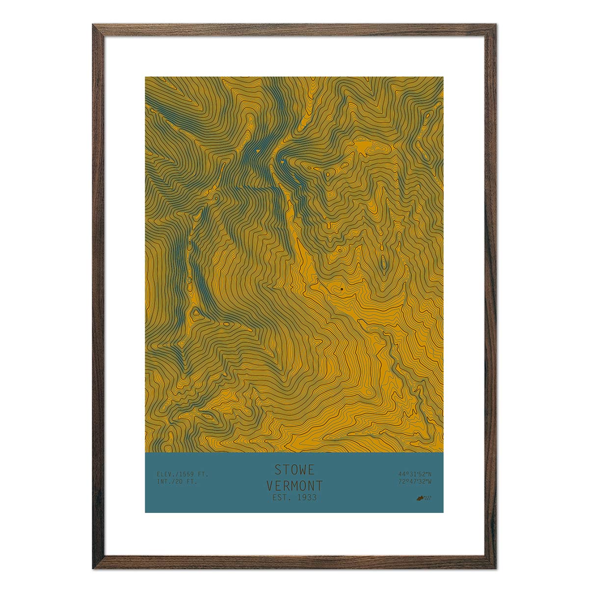
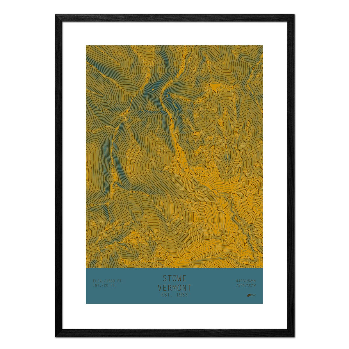
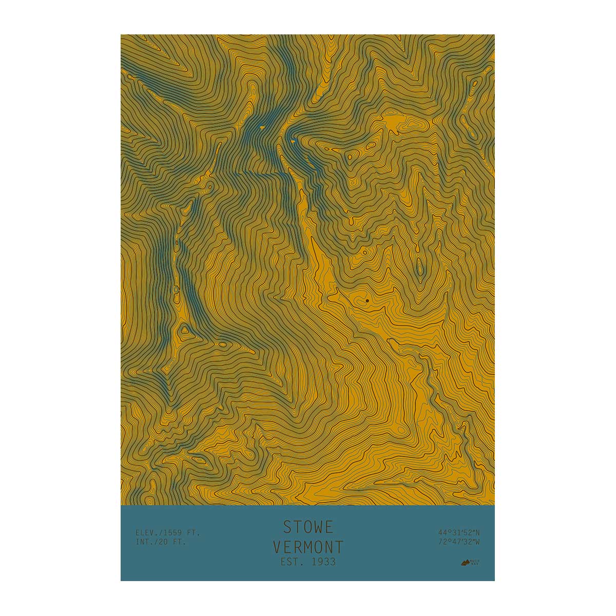
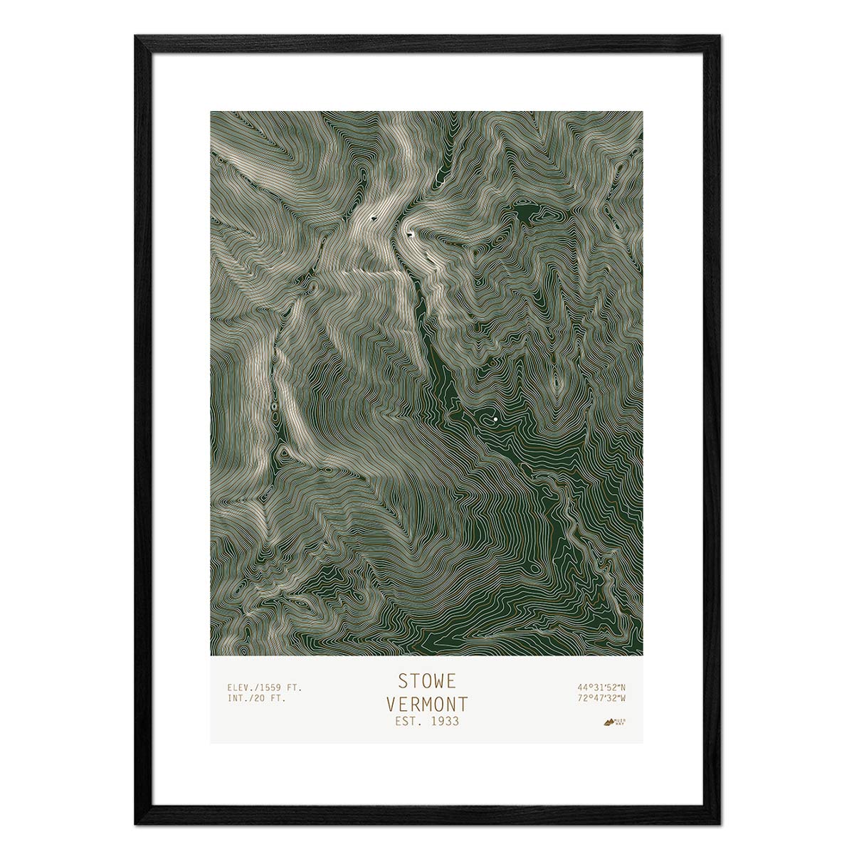
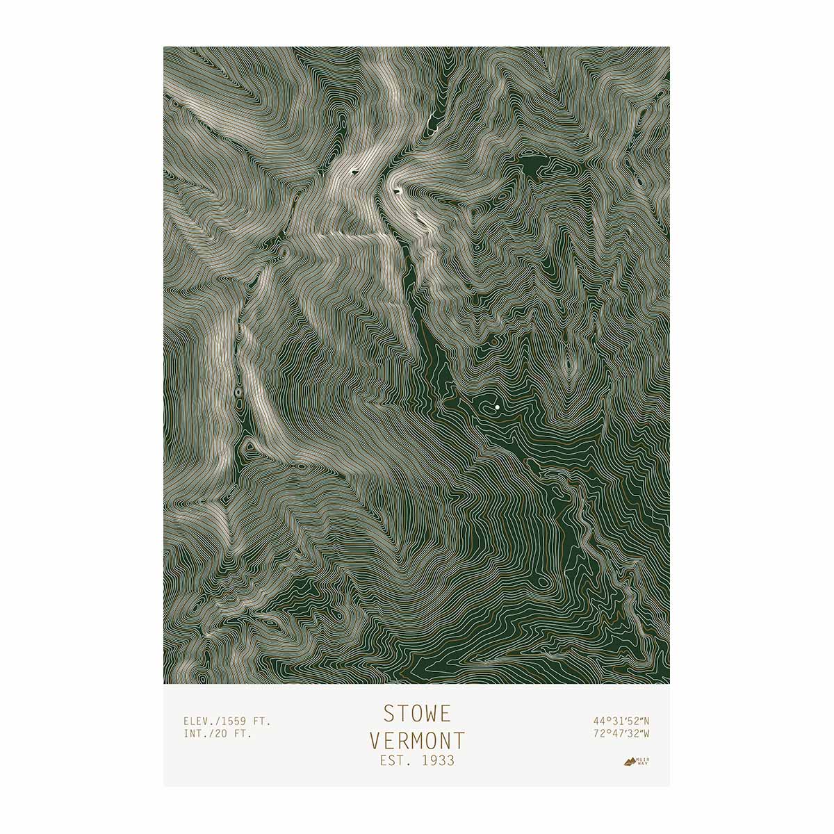
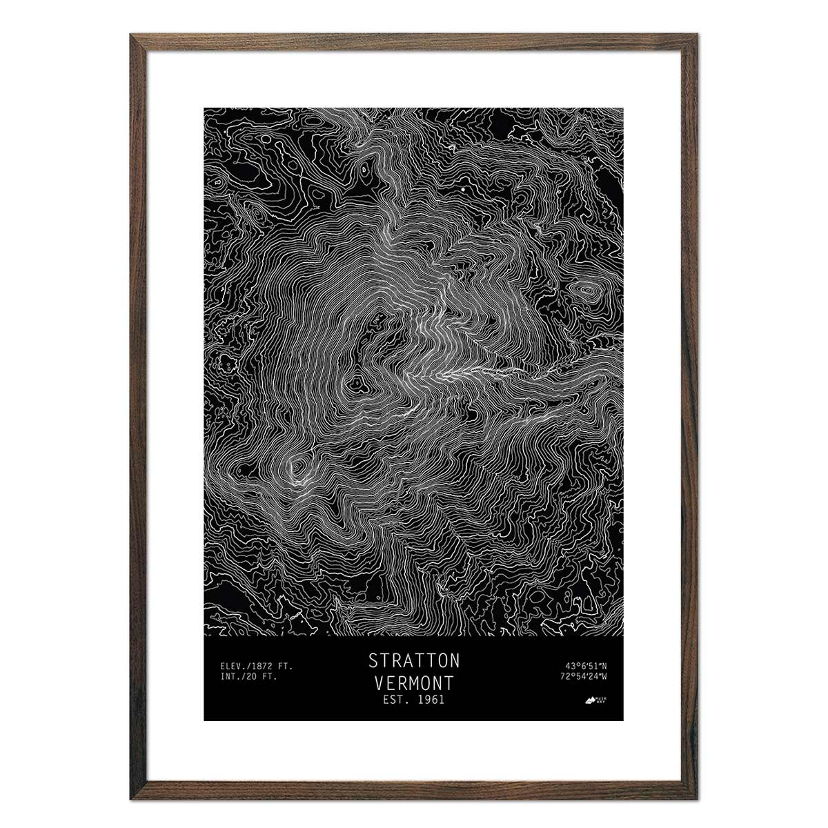
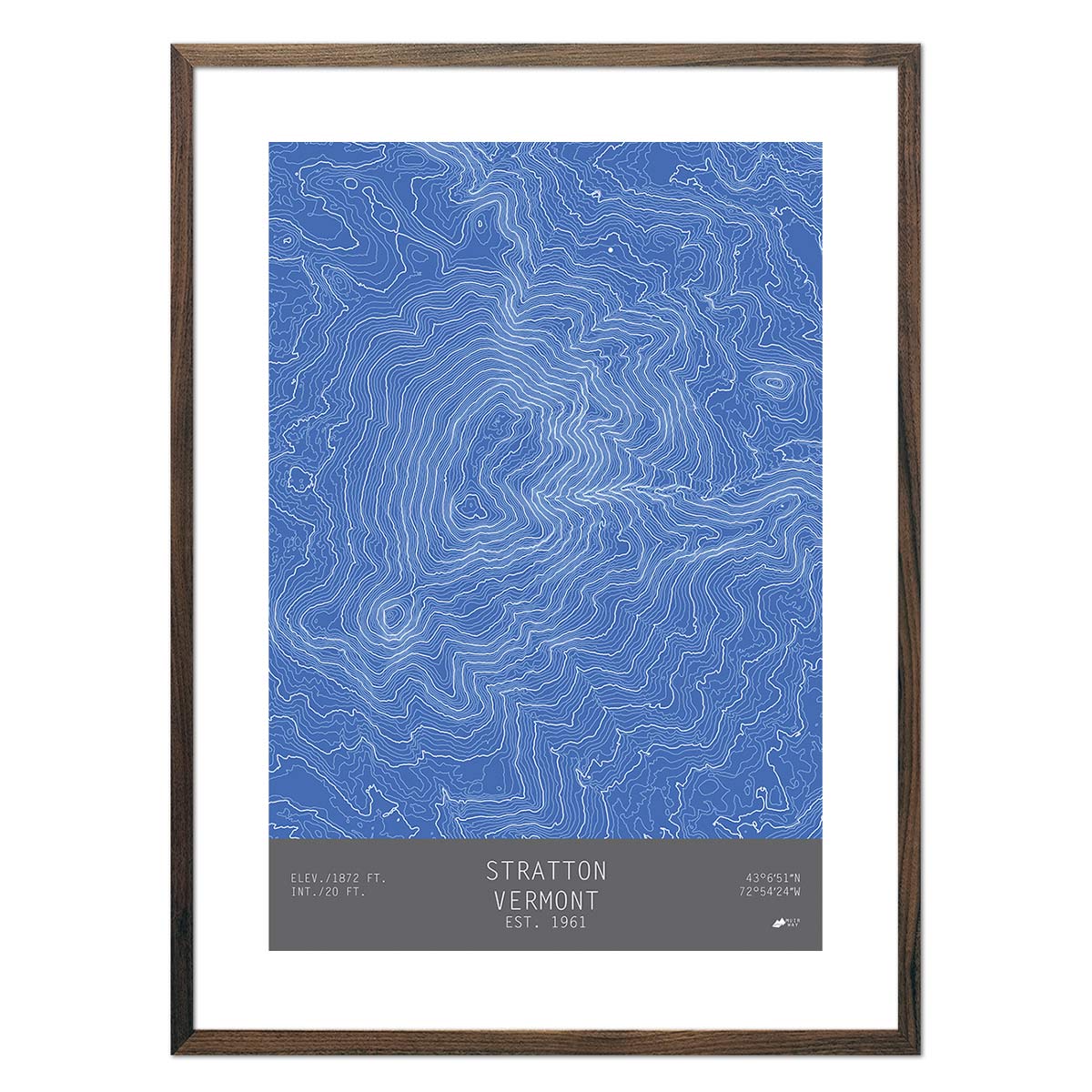
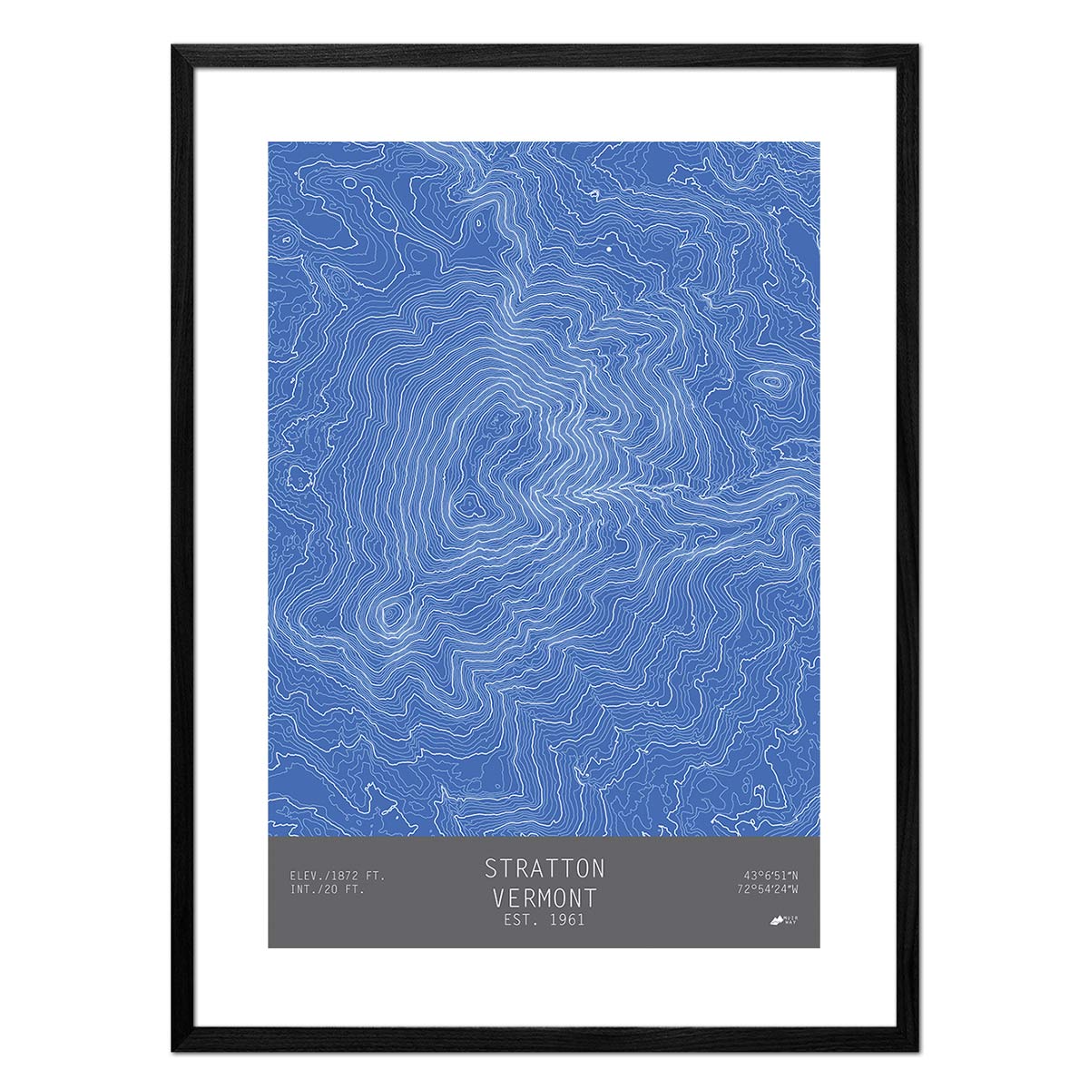
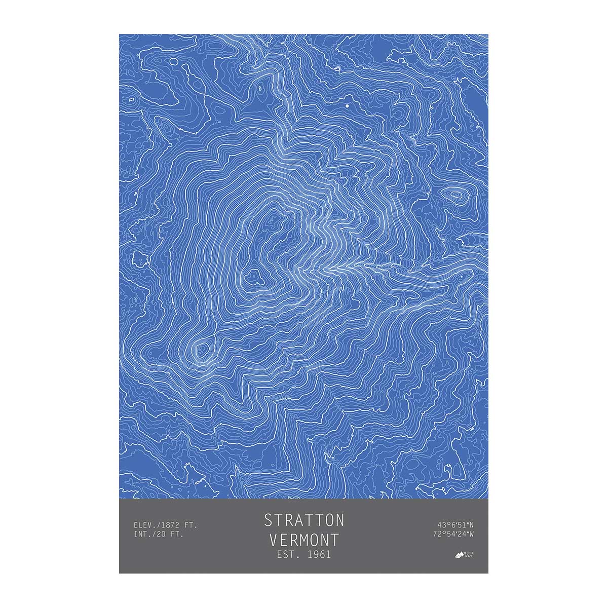
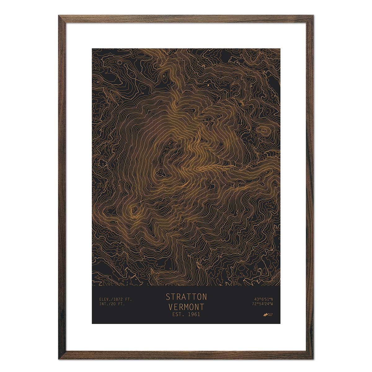
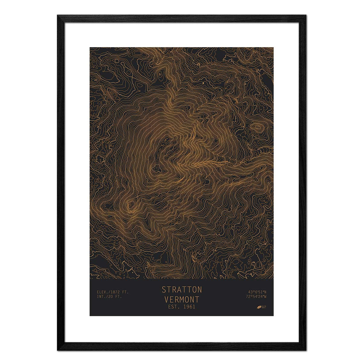
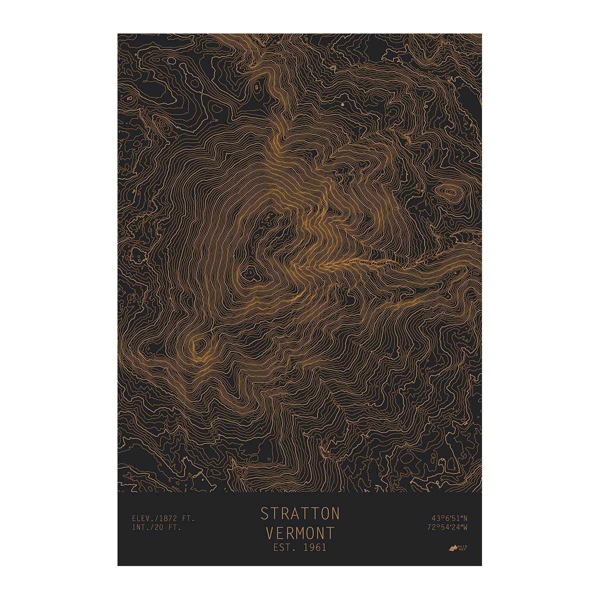
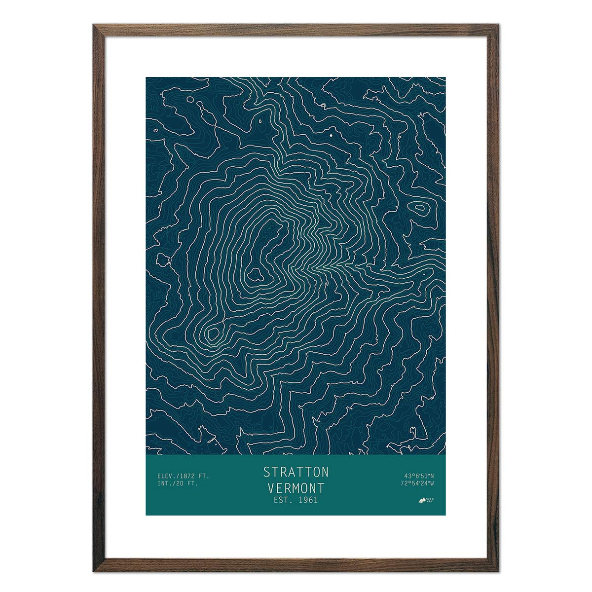
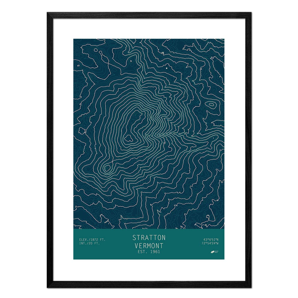
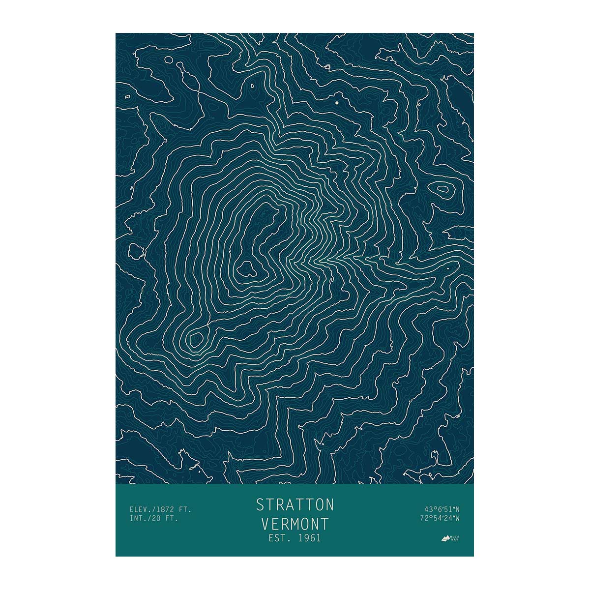
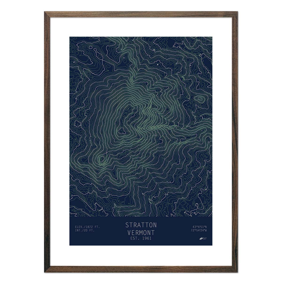
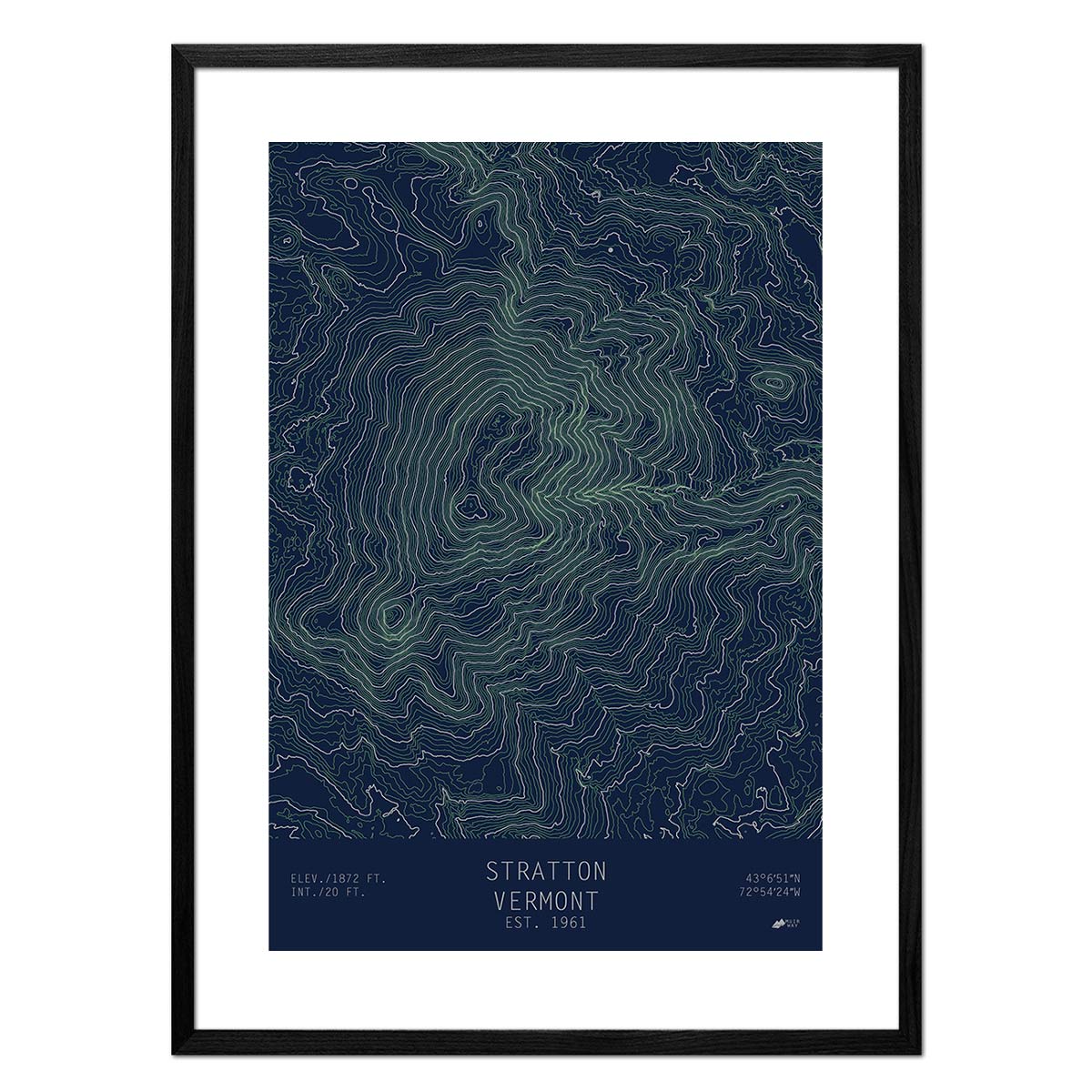
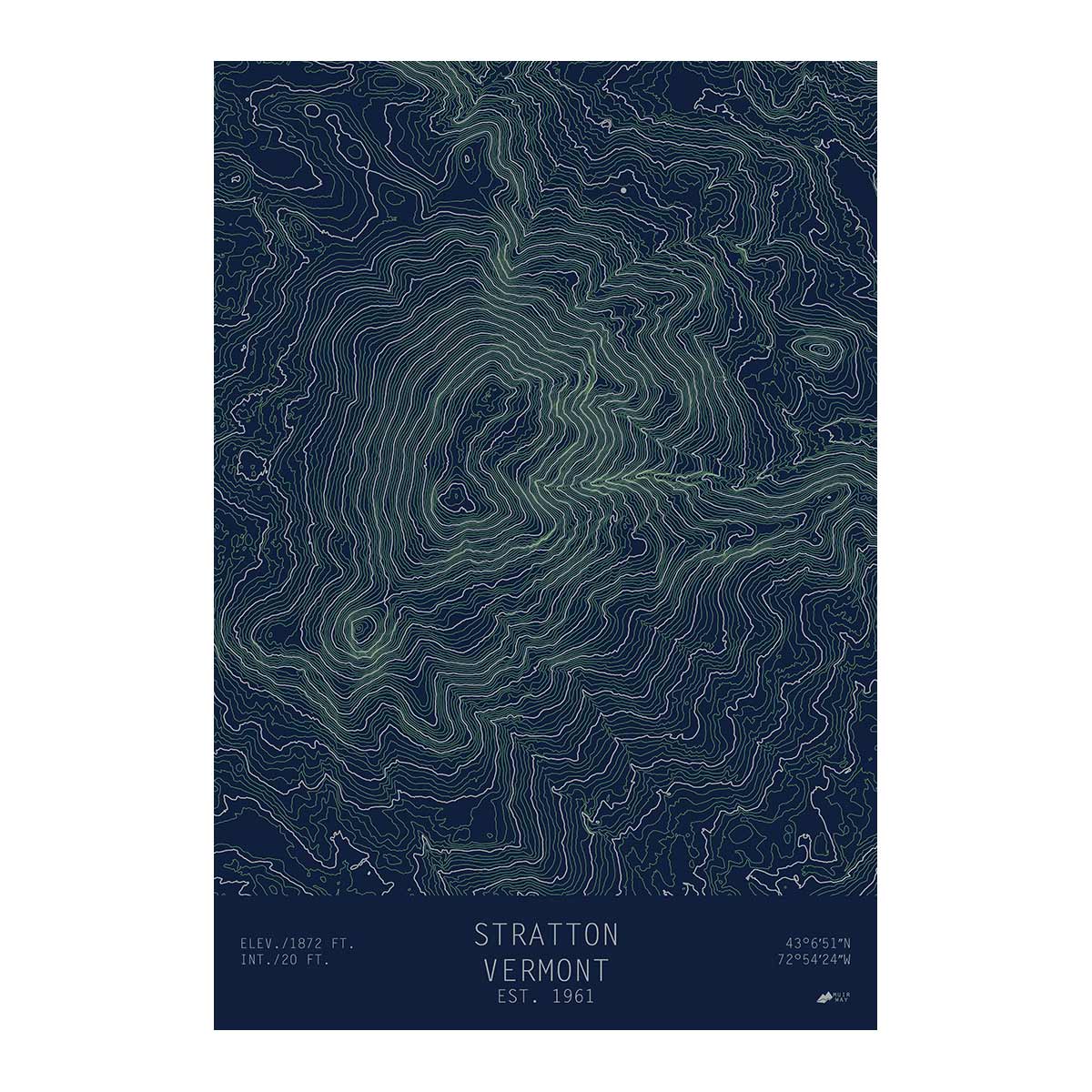
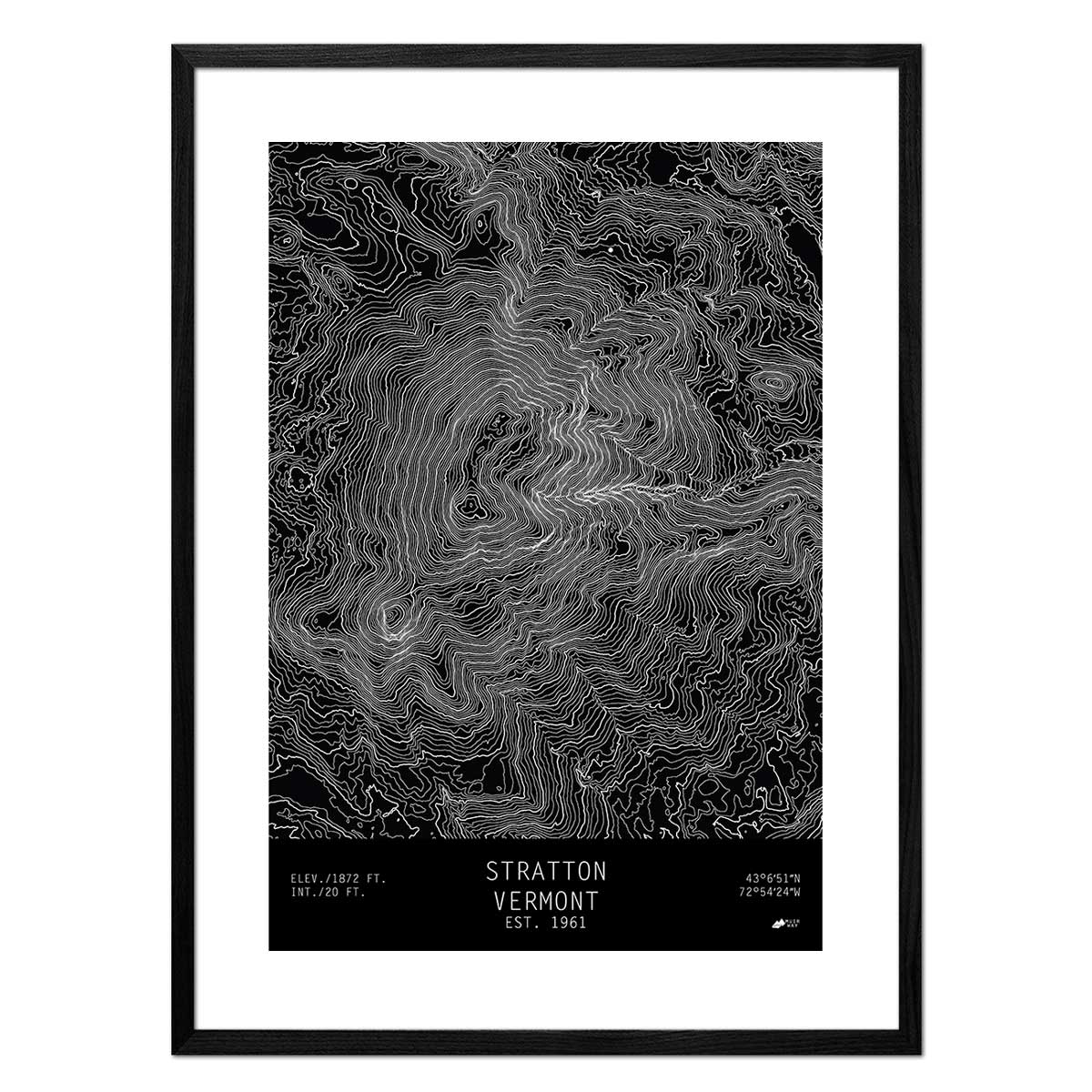
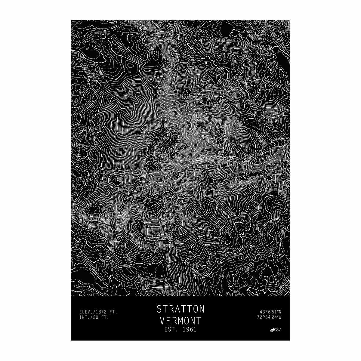
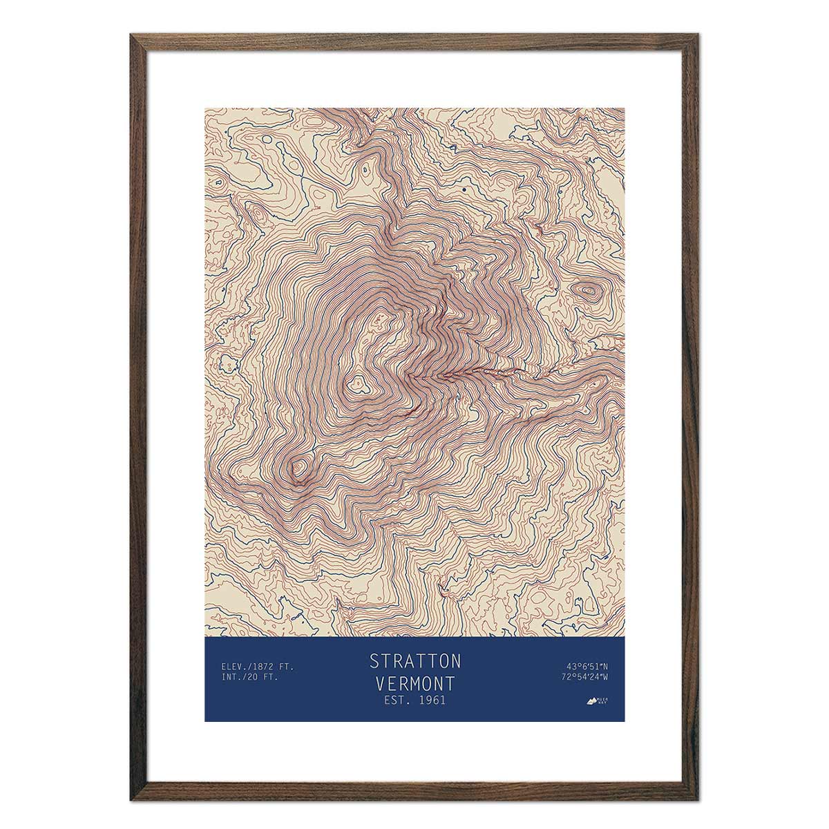
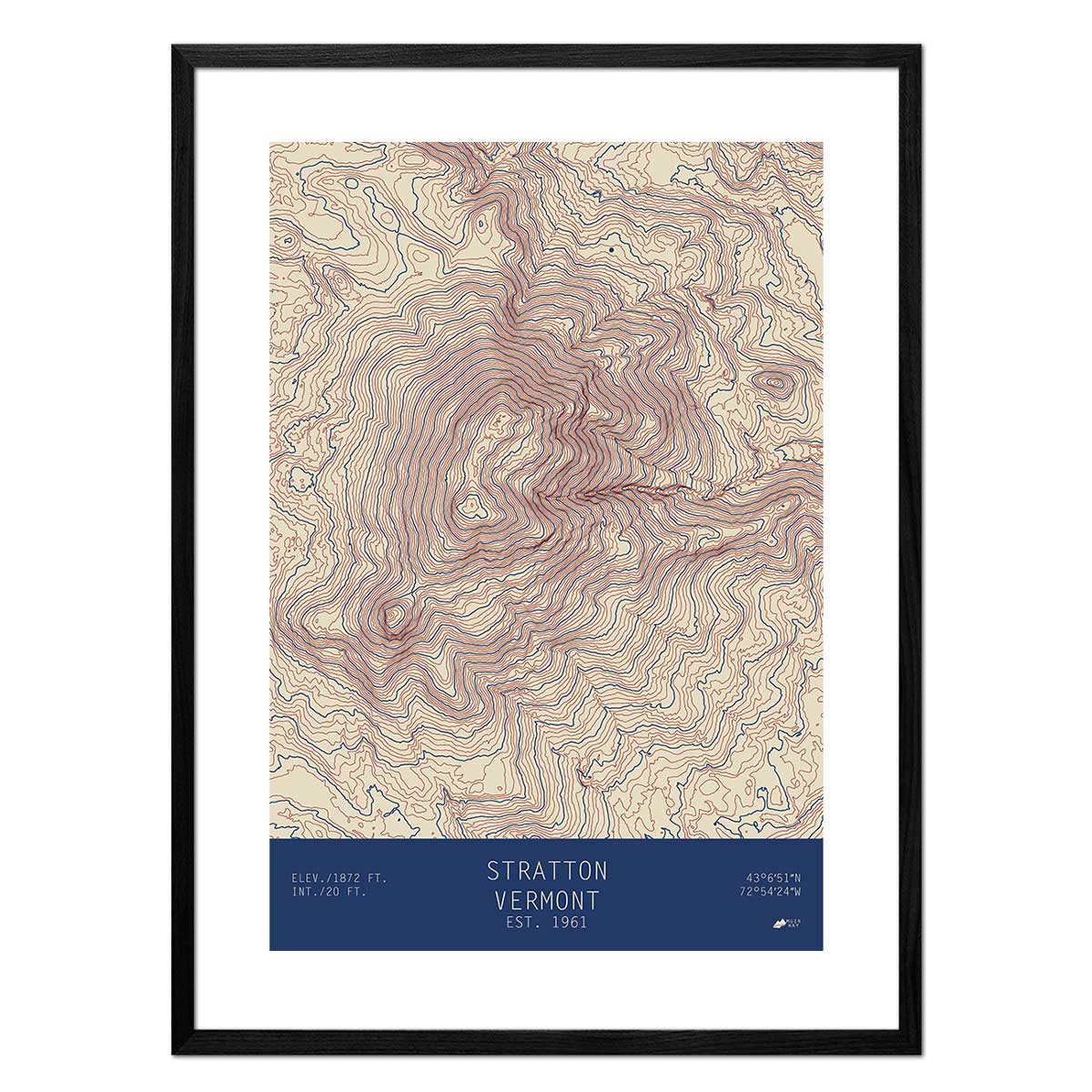
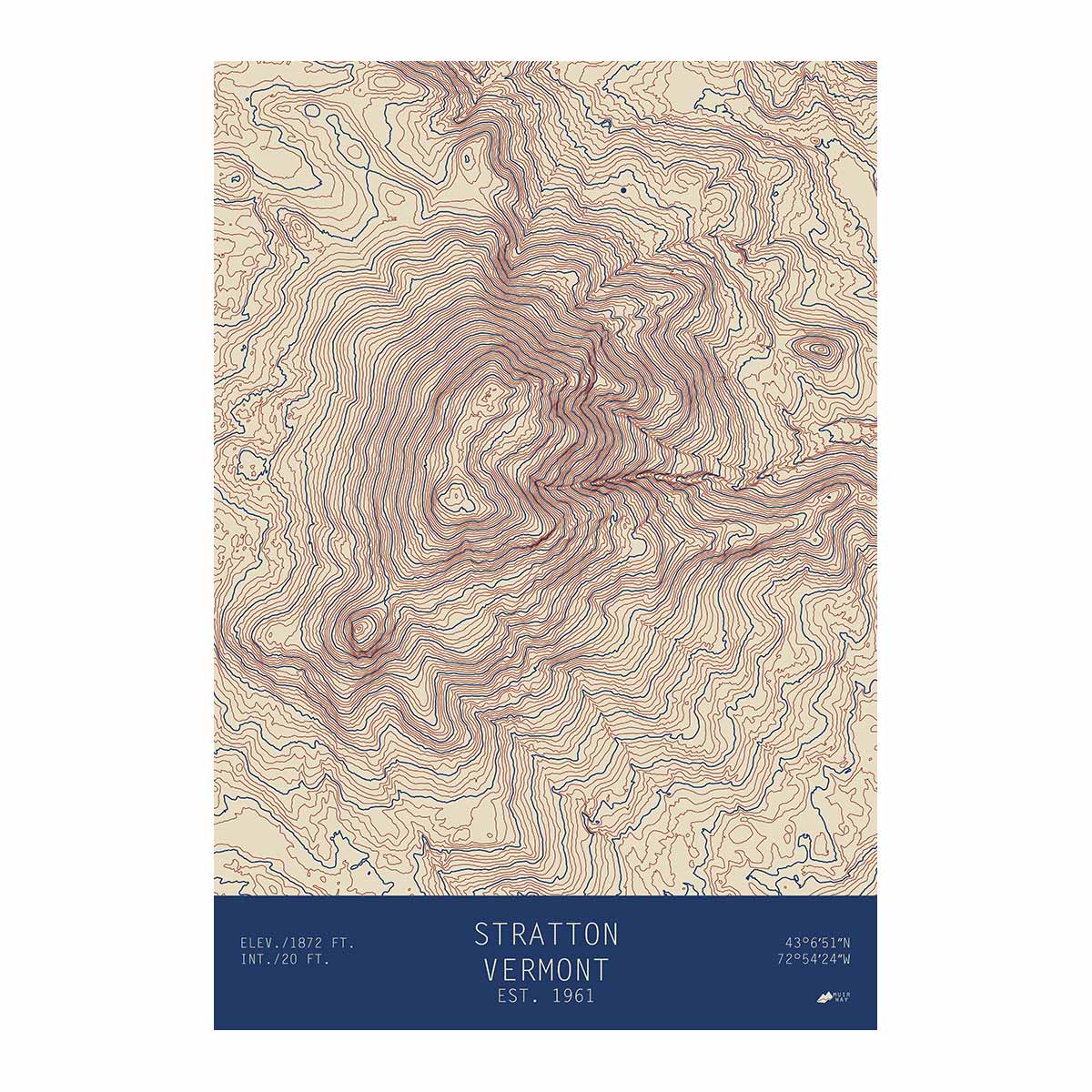
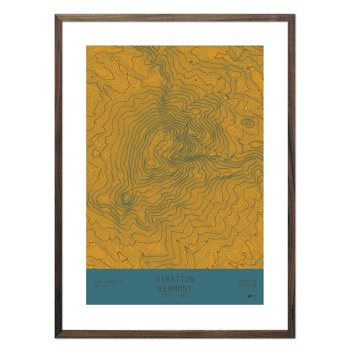
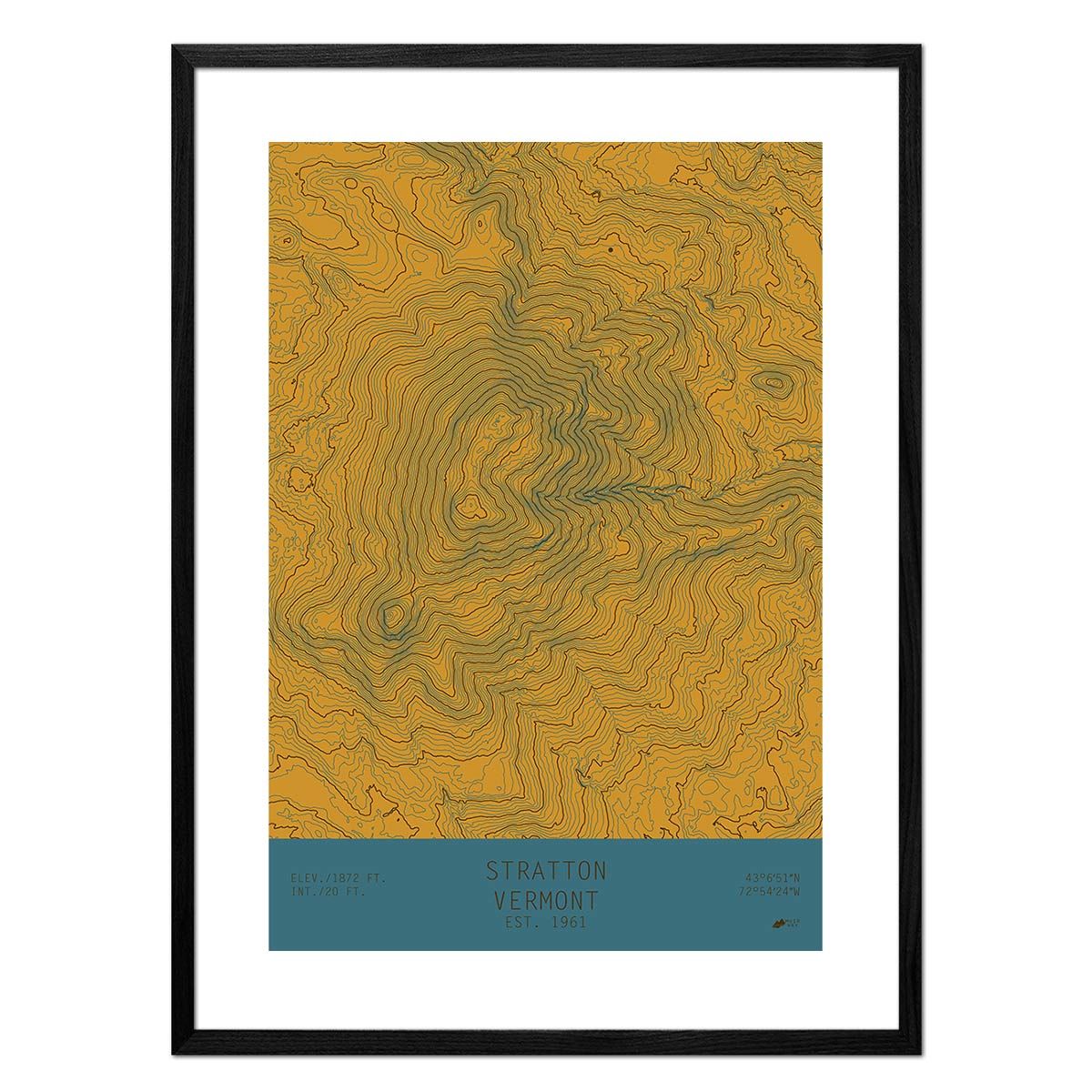
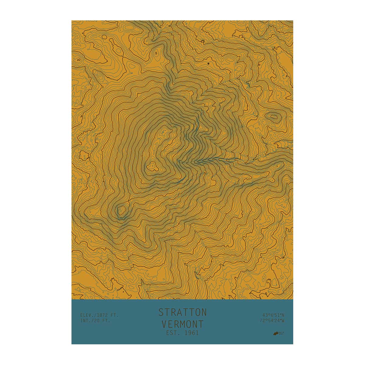
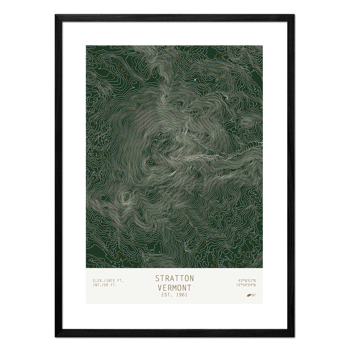
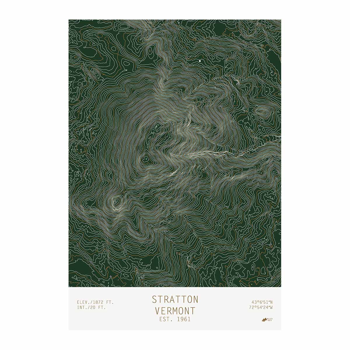
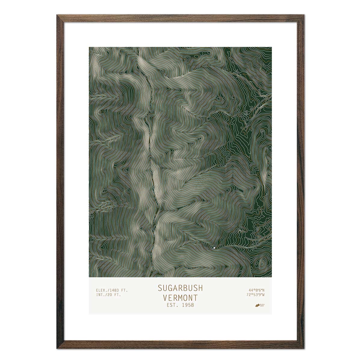
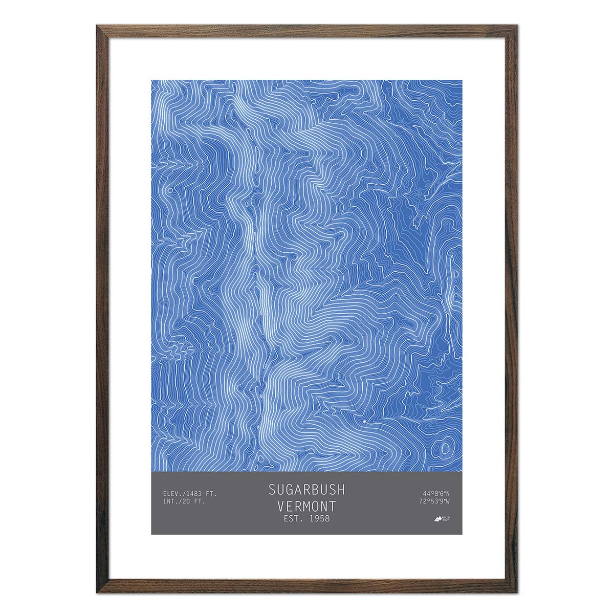
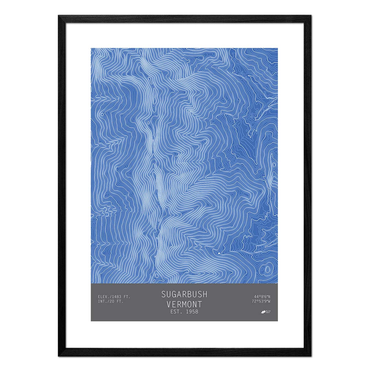
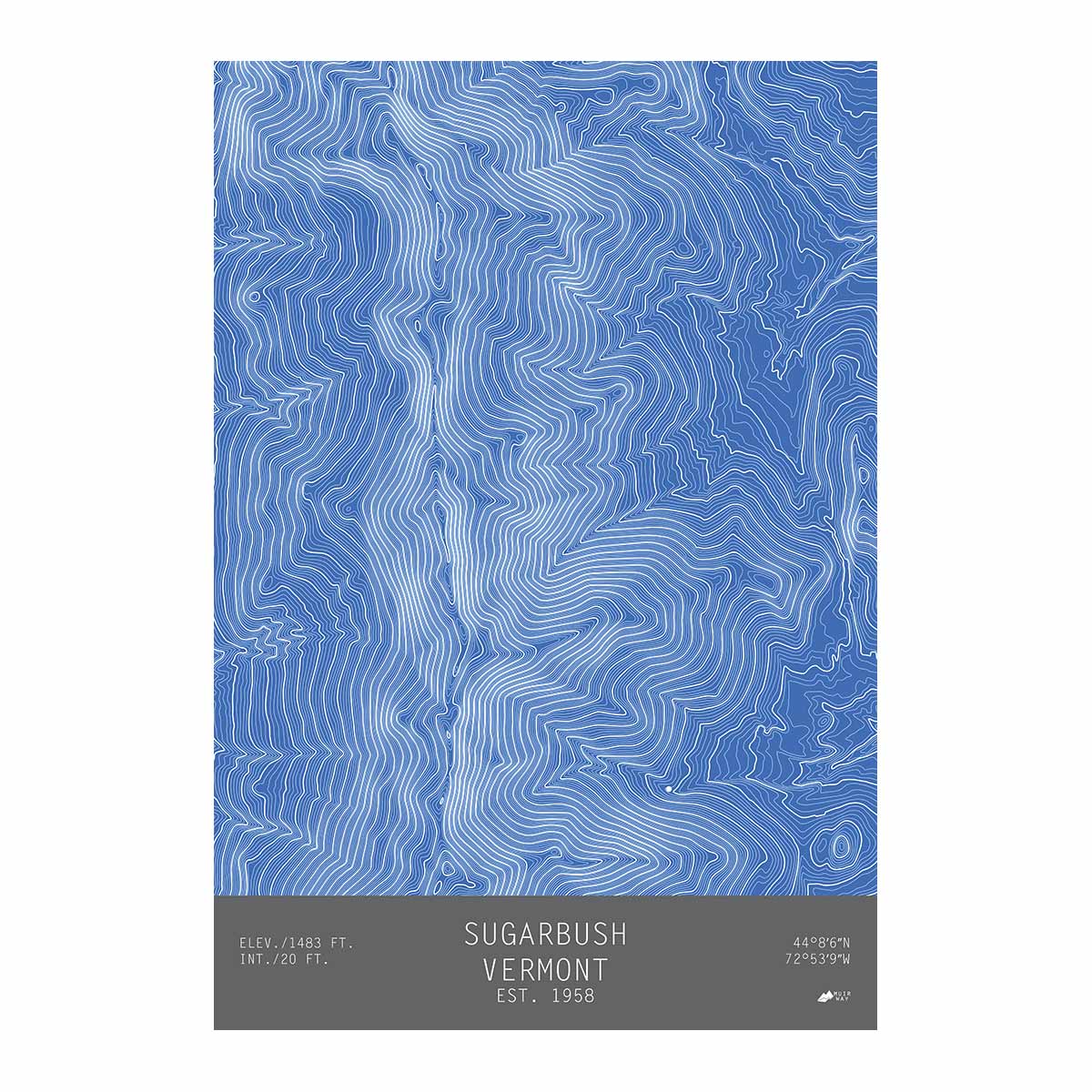
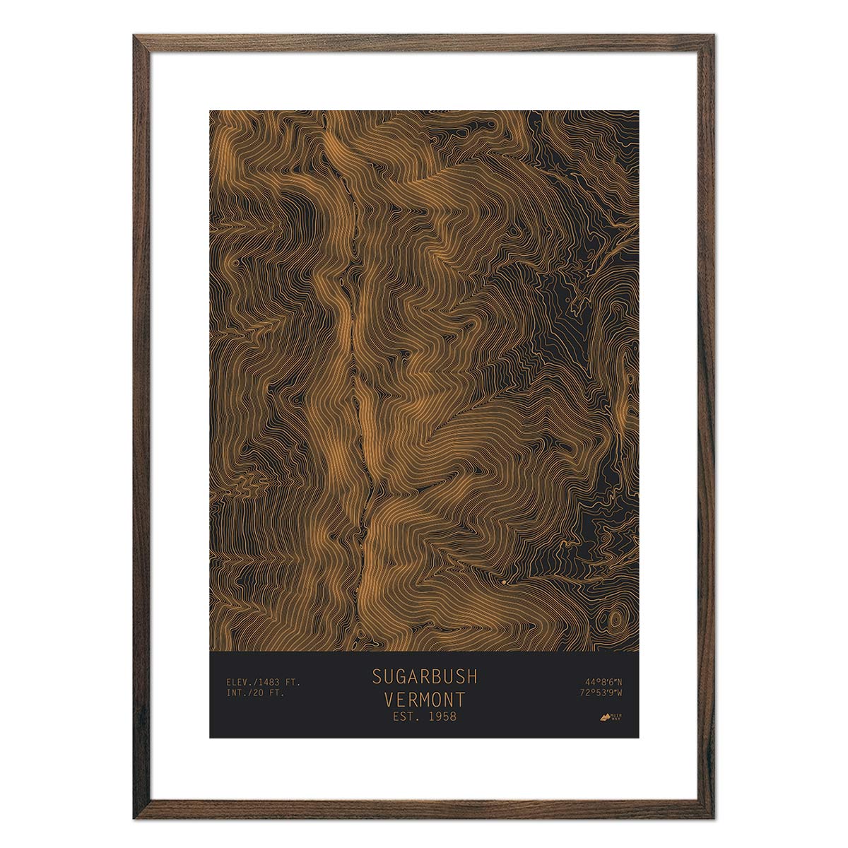
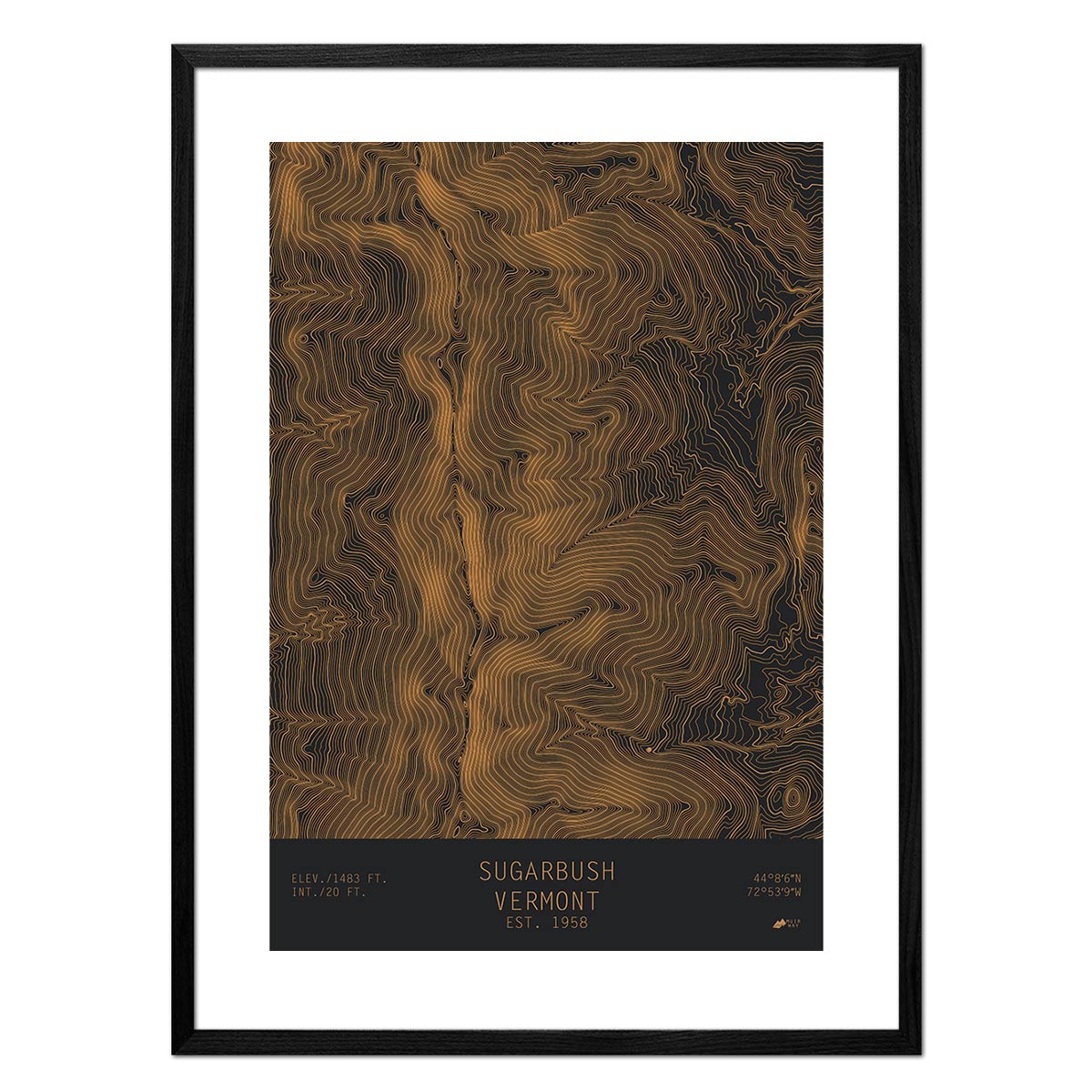
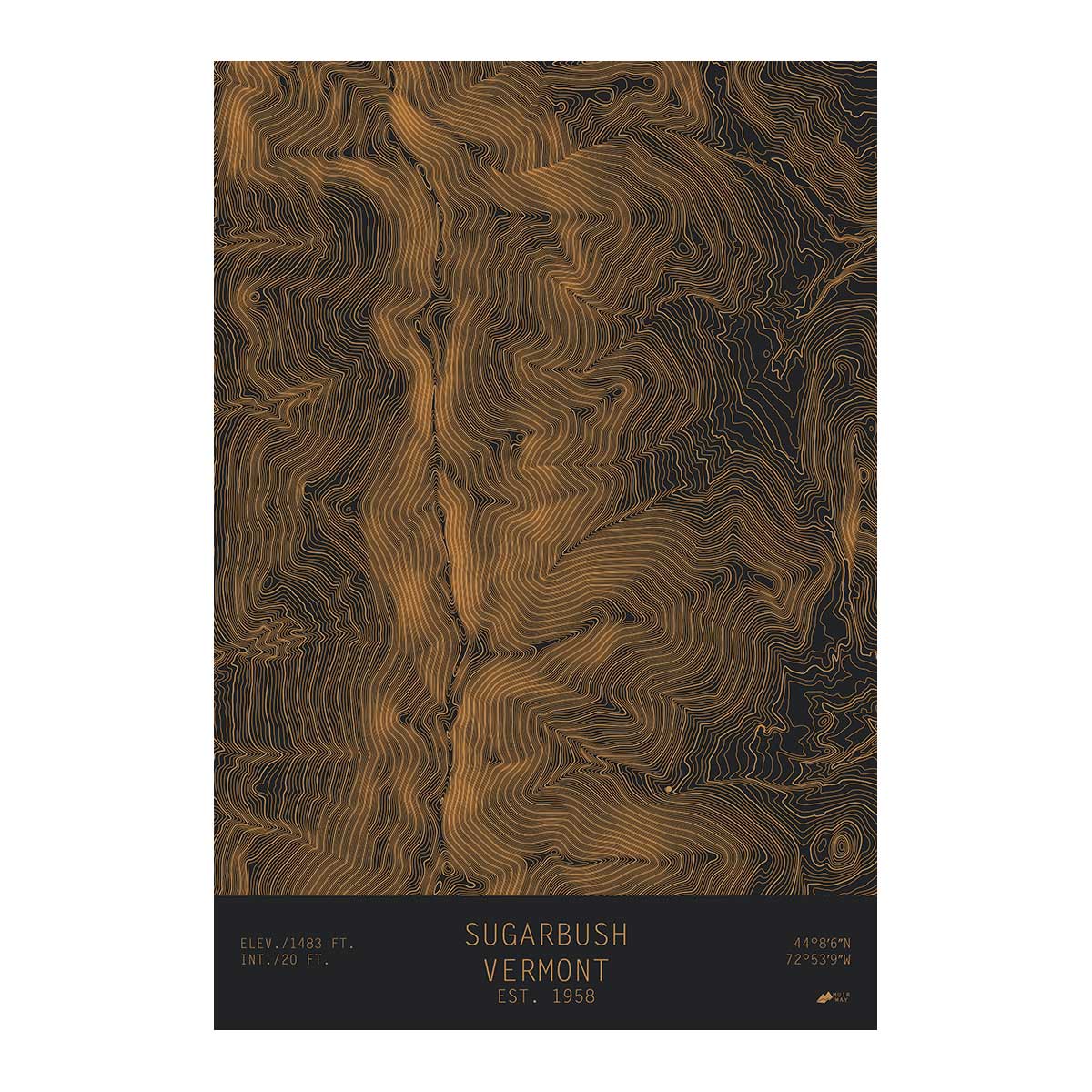
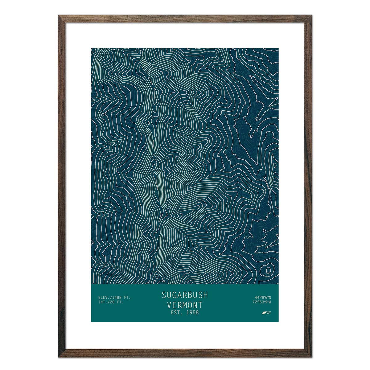
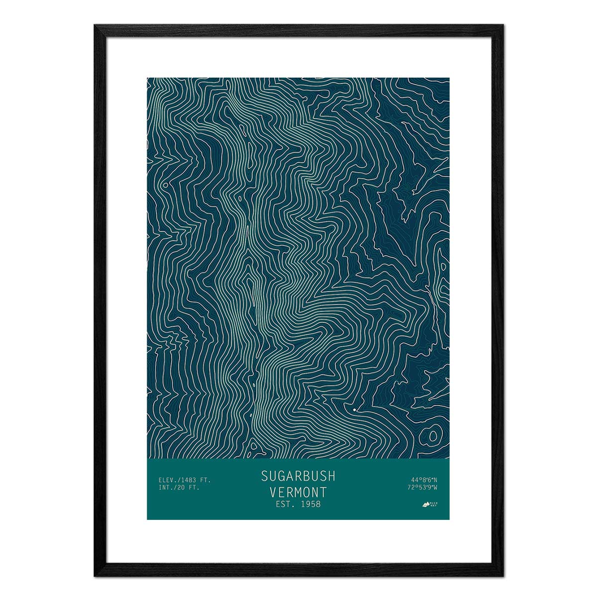
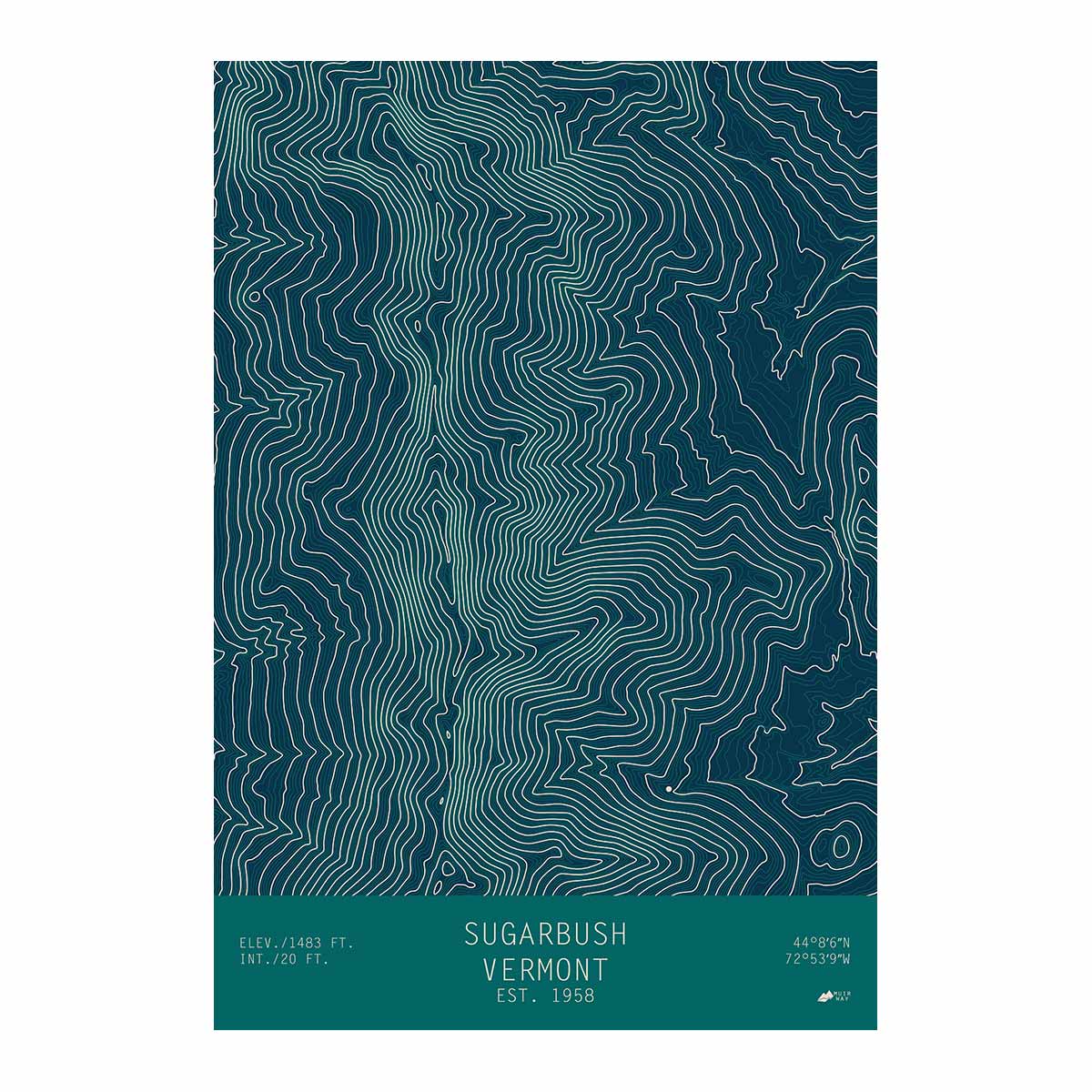
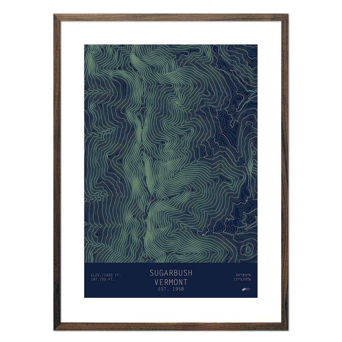
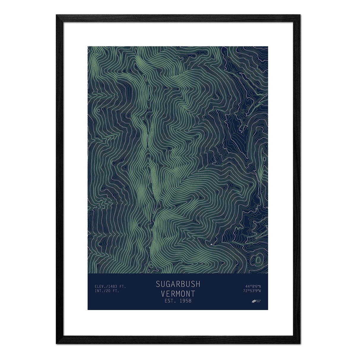
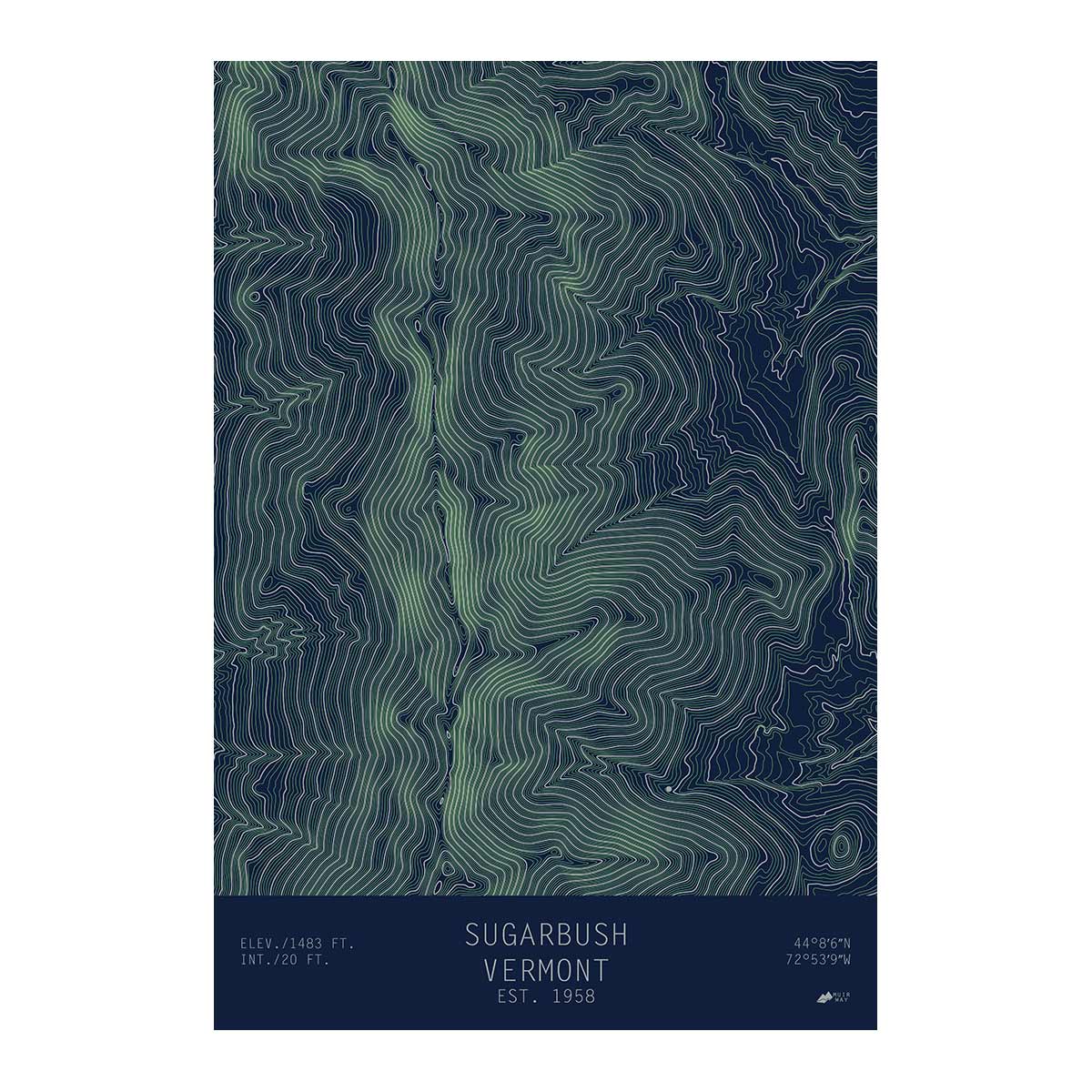
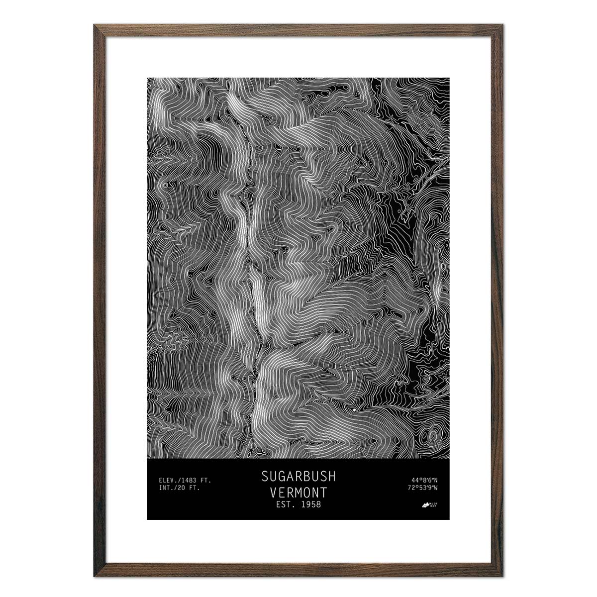
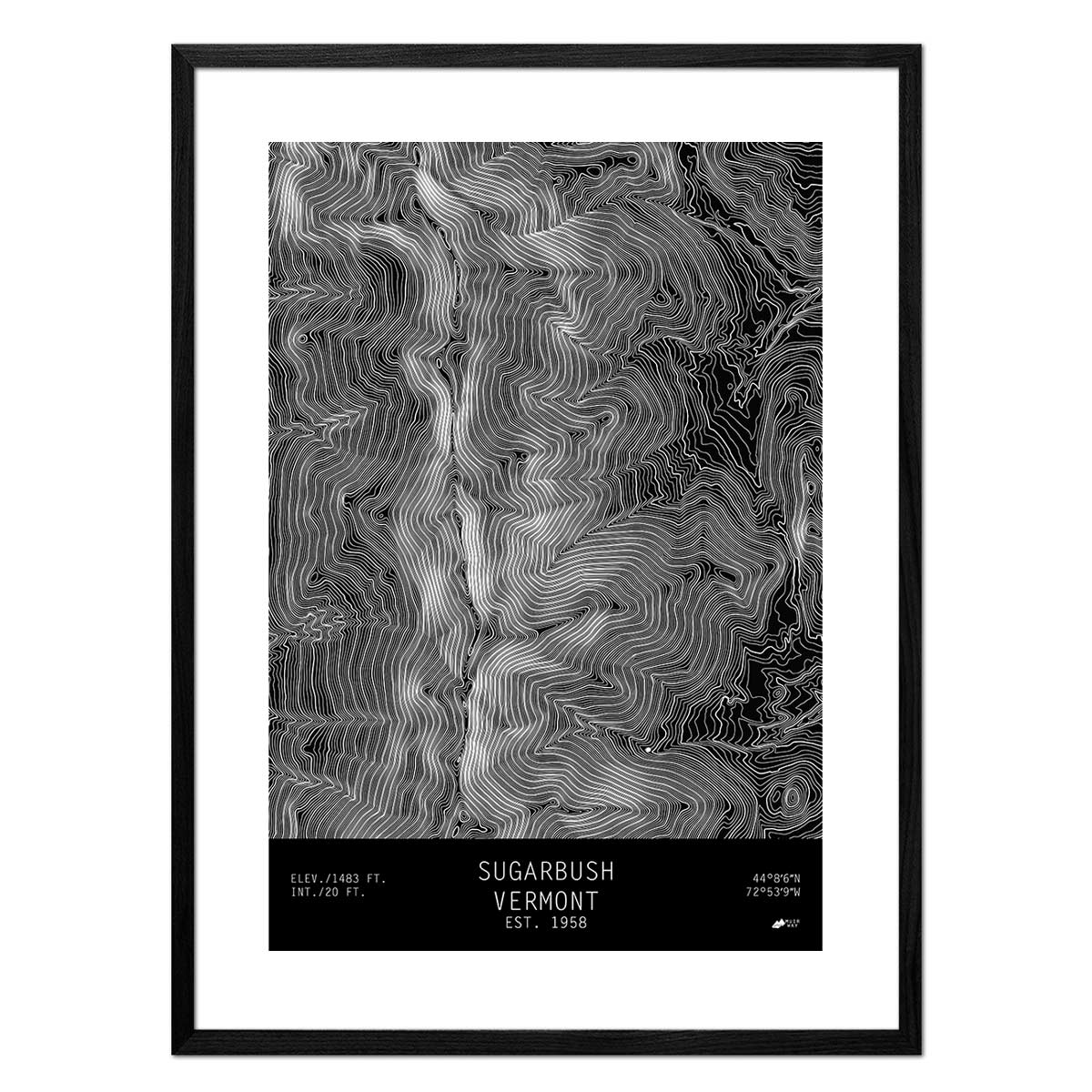
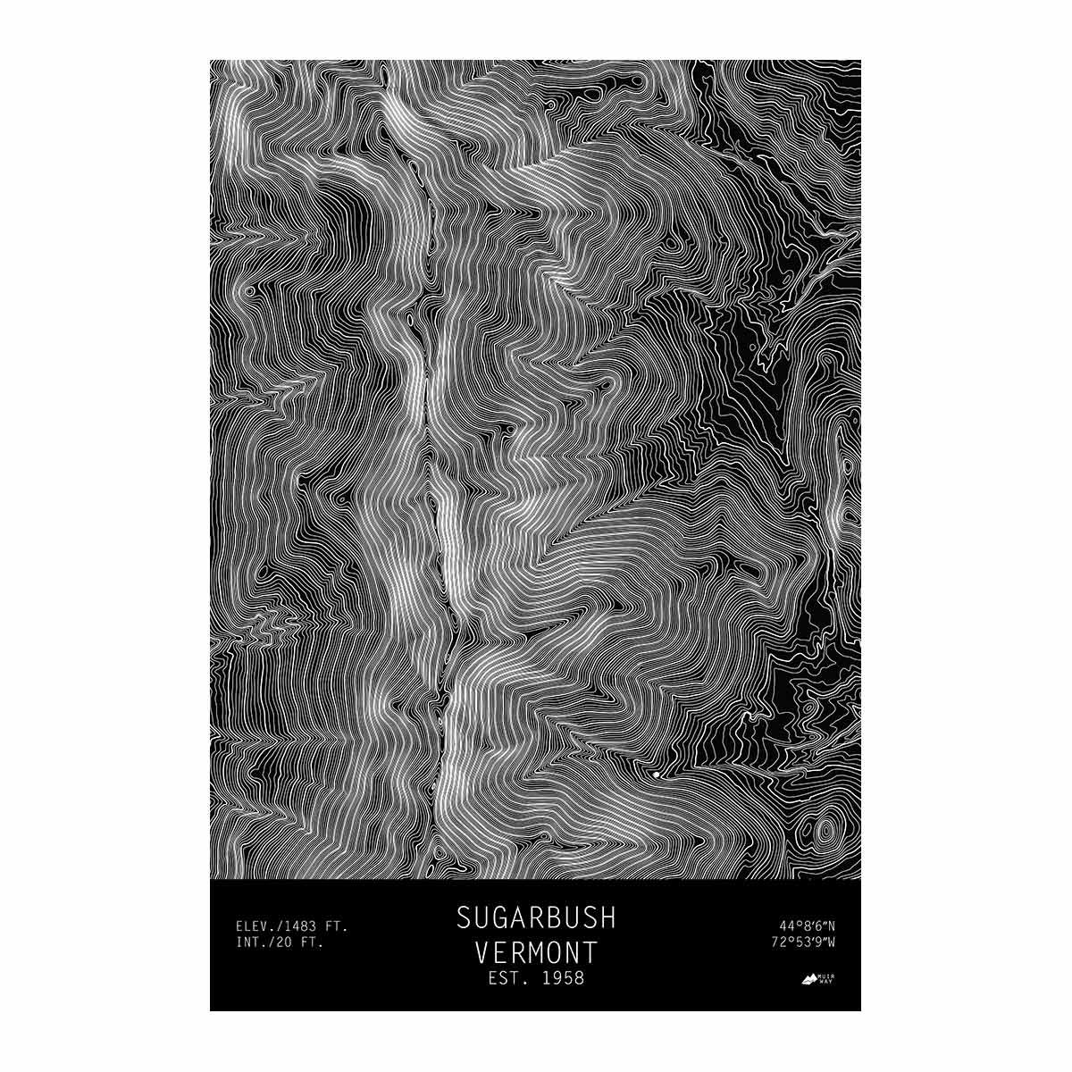
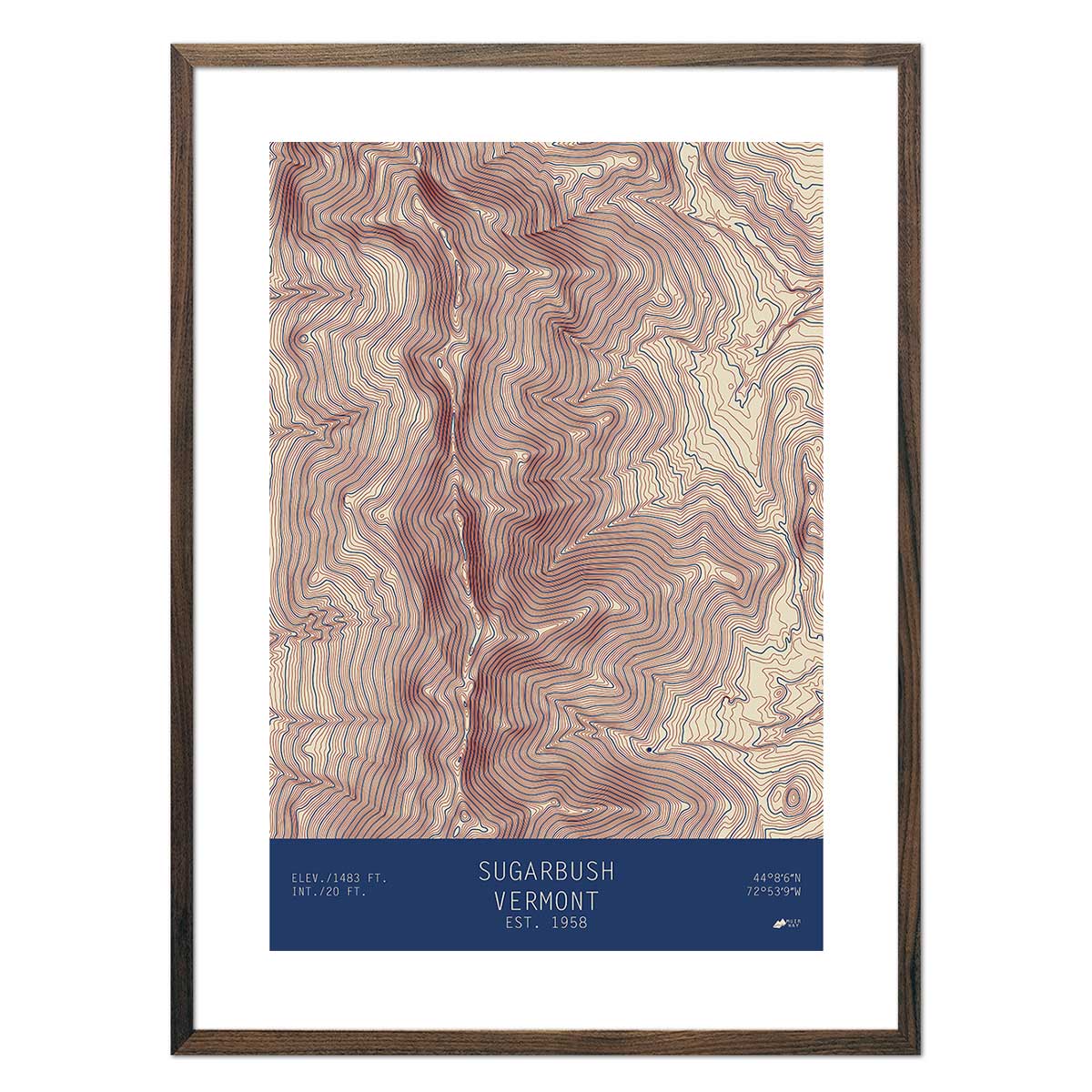
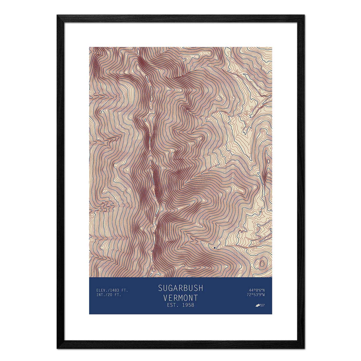
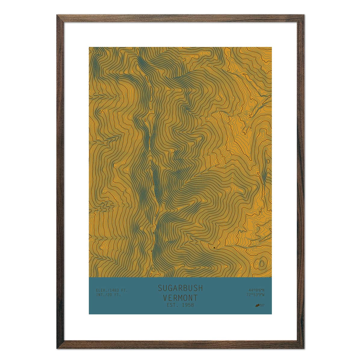
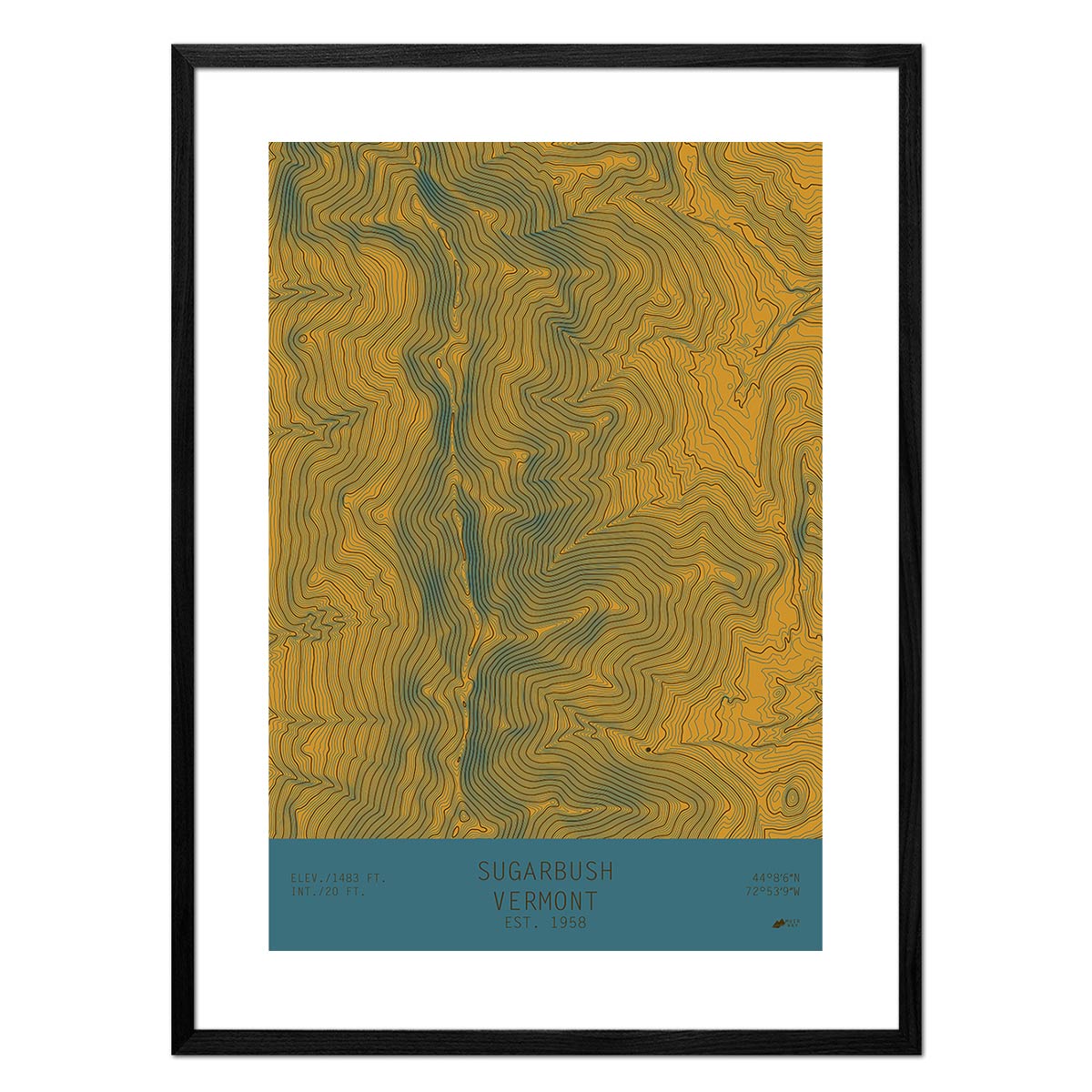
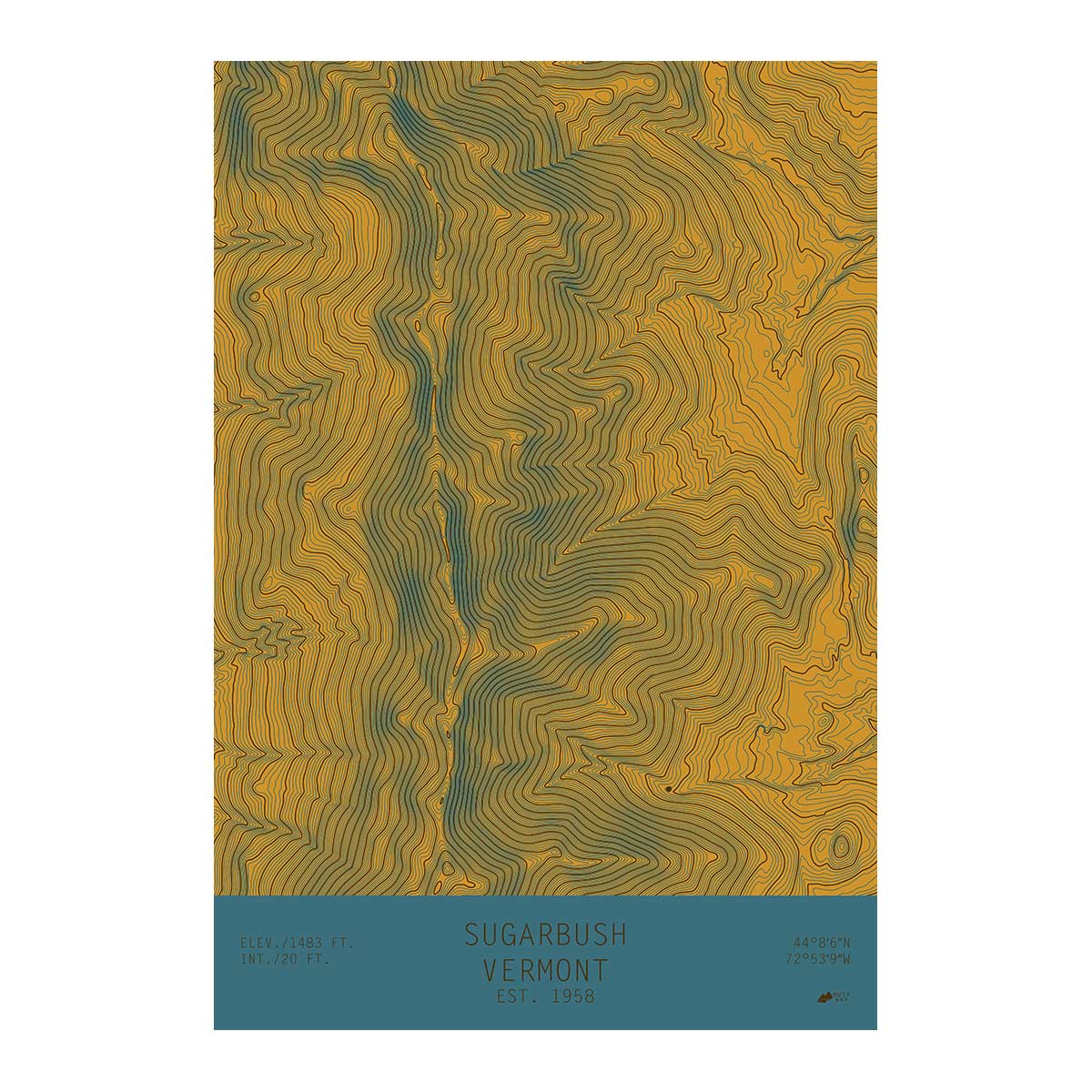
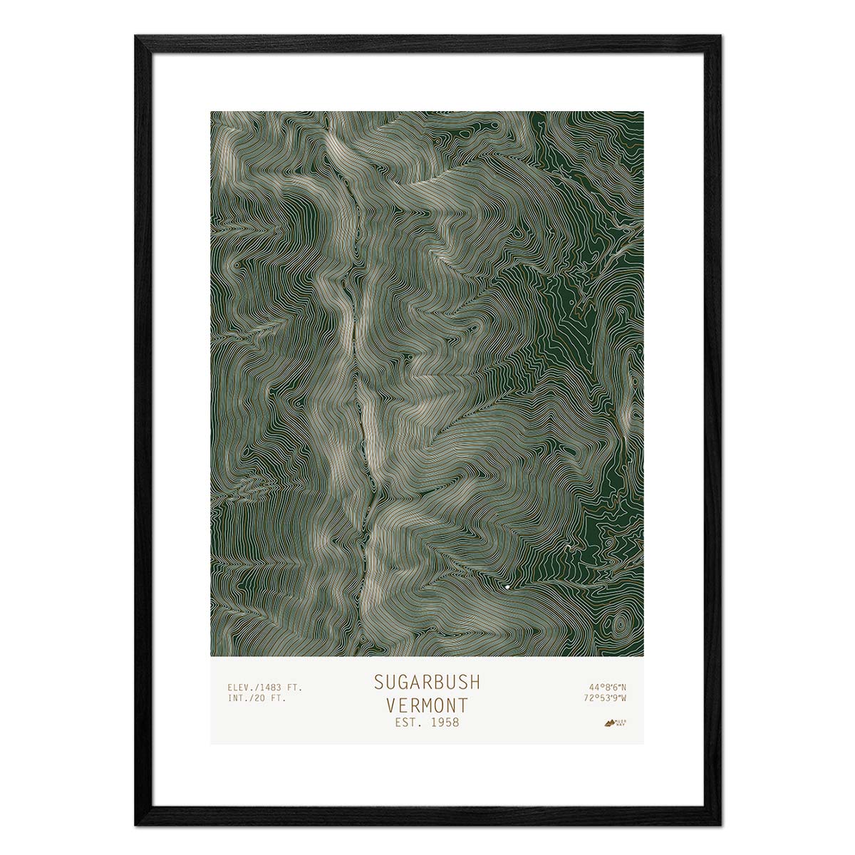
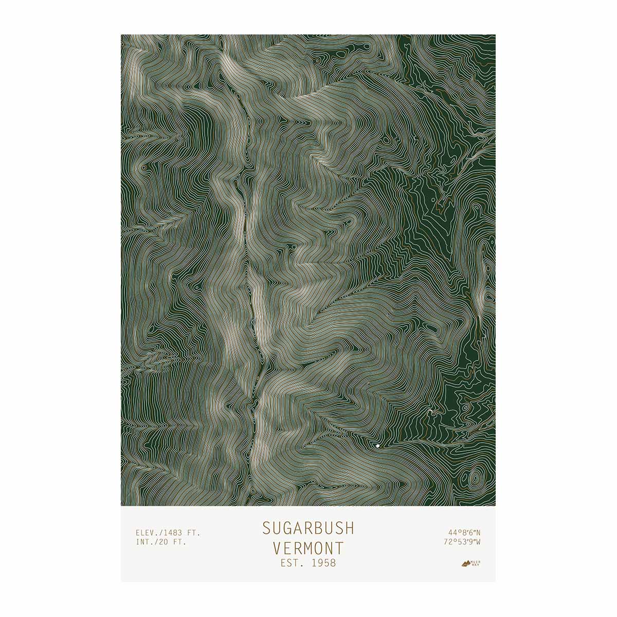
Vermont Topo Series - We offer a series of 13 topo maps of mountains and resorts that use USGS data to show the contour lines of the mountains. A single white dot represents the resort location. The result depicts the dramatic elevation changes in a simple and elegant way. Included in the series are Bromley, Vermont, Jay Peak, Vermont, Smugglers Notch, Vermont, and many others.
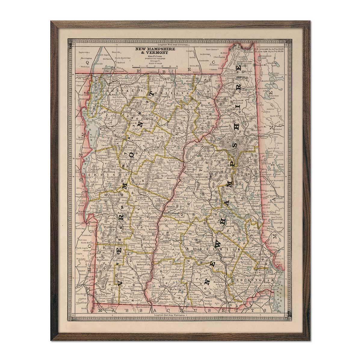
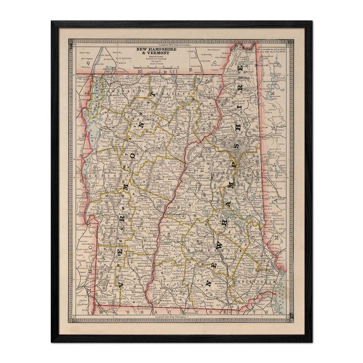
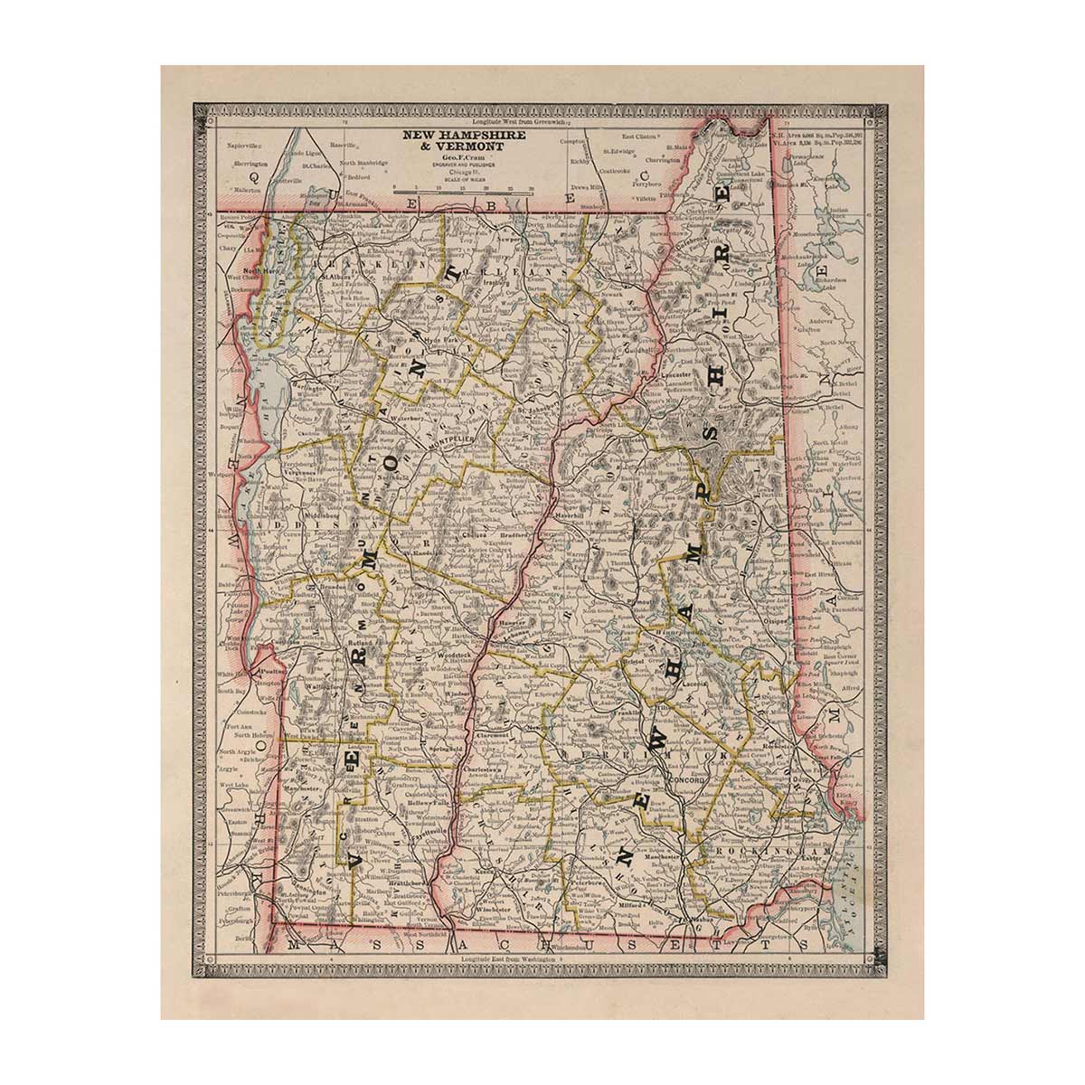
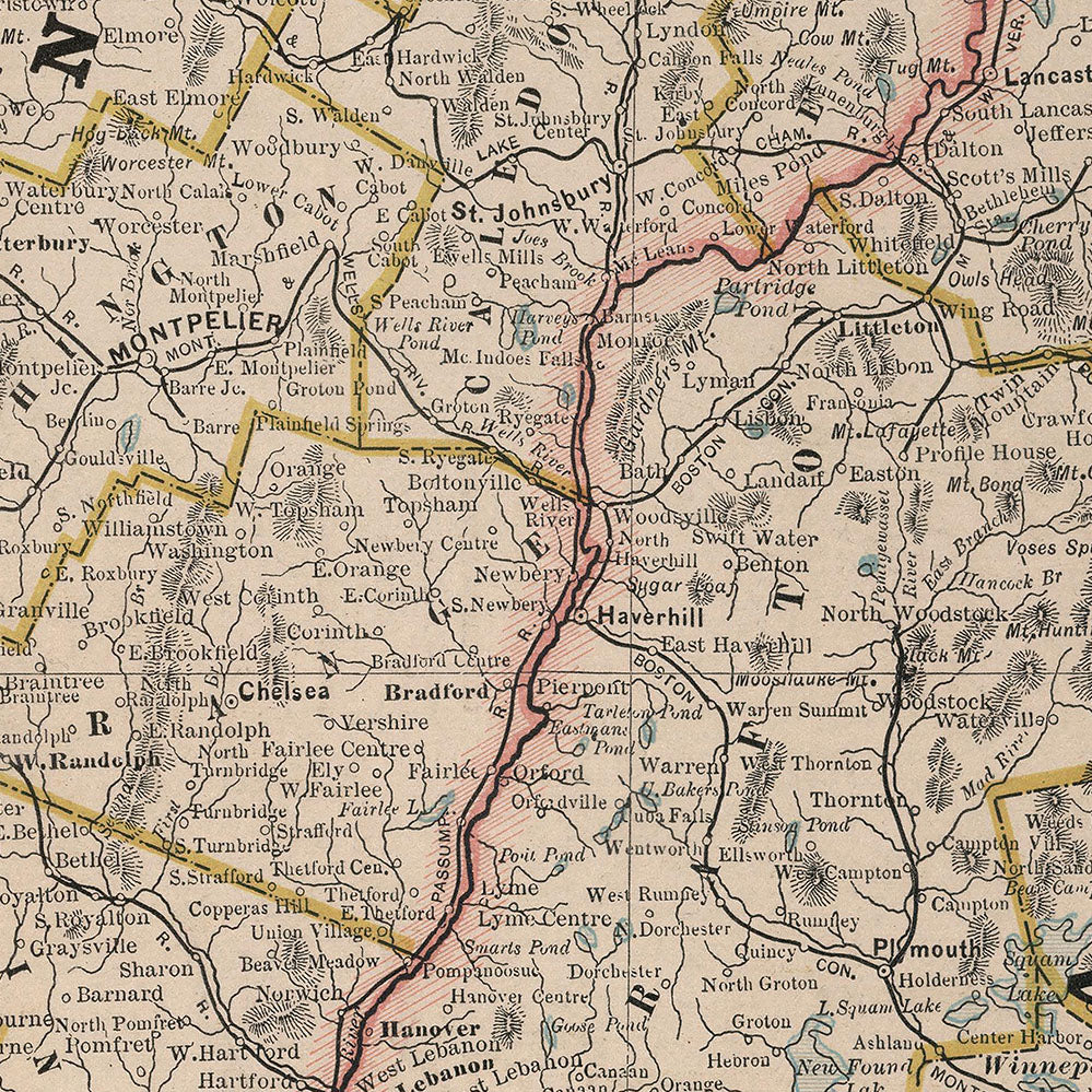
Enhanced vintage Vermont maps - Enjoy the history and charm of vintage maps in a new way with our New Hampshire and Vermont 1883 map. Unlike our elevation maps, Muir Way historical maps don’t feature enhanced elevation effects, but they do feature a record of history beautifully restored to retain its vintage charm without the wear & tear. Our vintage Vermont maps are also custom printed using archival materials.
What are some prominent features on the map of Vermont?
Vermont’s geographical terrain features a variety of environments, including mountain peaks, alpine tundra, pine forests, rich farmland, and pristine glacial lakes. The state is divided by multiple mountain ranges with verdant lowlands and valleys between them.
The mountains of Vermont are ancient ranges that have worn down over multiple ice ages. The mountains are home to many hiking trails, including a portion of the Appalachian Trail.
Lake Champlain sits partially in Vermont. It is a large glacial lake that was once part of an inland sea. One of the biggest lakes in the United States, the area features deep waters and beautiful scenery.
The state is home to many forests that give it the nickname The Green Mountain State. Including a large amount of pine and spruce trees, these forests stay green year-round. When snow falls, it rests below the evergreen boughs so that the mountains always look green. These forests cover 75% of the state’s land, creating a haven for hiking, biking and other outdoor activities.
What are the regions in Vermont?
Vermont has six main geographical regions:
- Vermont Lowland (Champlain Valley) - The valley borders Lake Champlain and is filled with dairy farms, orchards, and grain fields. Situated in the northwestern part of the state, some of the higher areas are covered in dense pine and hardwood forest. The region is affected by the lake which cools it in the summer and keeps it warmer in the winter.
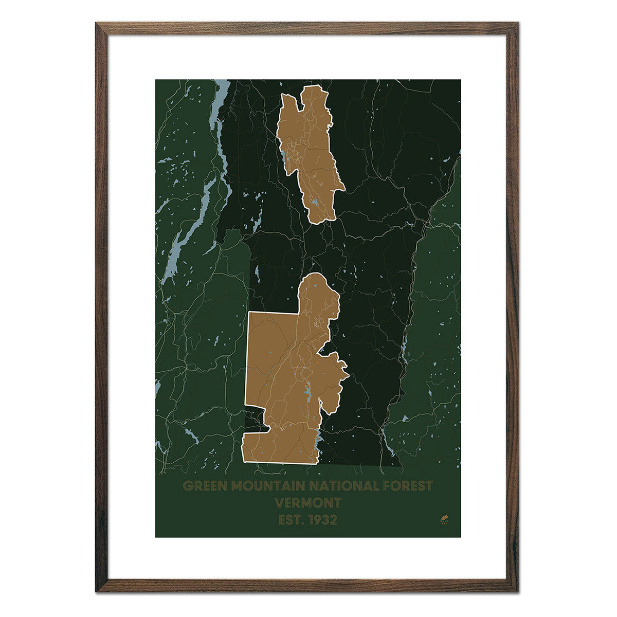
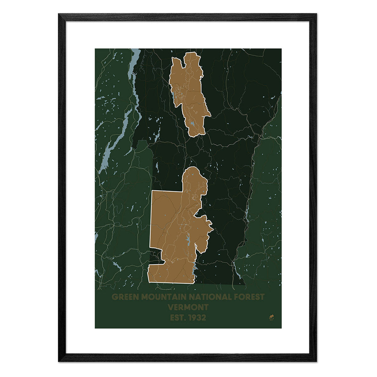
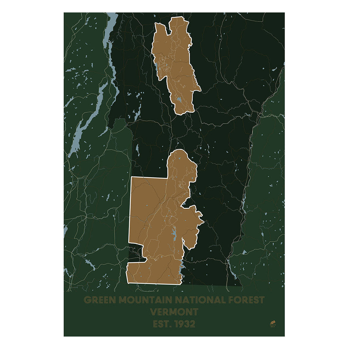
- Green Mountains - The Green Mountain Region is located in central Vermont. The Green Mountains are part of the Appalachian Mountains and run primarily north to south. The Appalachian Trail follows the ridge of the Mountains for 100 miles. Mount Mansfield, the highest peak in the state, is part of the Green Mountain range. Said to look like an elongated human face, the mountain also holds some of the last alpine tundra left from the last ice age.
- Taconic Mountains - A subrange of the Appalachian Mountains, this region covers a narrow strip of land in southwestern Vermont. It includes mountains, glacial lakes, and clear streams. These peaks contain one of the most diverse stands of forest in New England.
- Vermont Valley - Located in western Vermont, this small strip of land is made up of small rivers and river valleys.
- Vermont Piedmont (Western New England Upland) - This region covers much of eastern Vermont. It is covered by the rich lowlands of the Connecticut River Valley. Formed by glaciers, many clear lakes dot the area as it gradually rises from the east to west to the foothills of the Green Mountains.
- Northeast Highlands - Characterized by granite mountains, this area is located in the northeast corner of Vermont. The granite mountains of this area are divided by swift flowing streams and glacial lakes.
If you like our collection of Vermont maps, you may also be interested in maps of other Northeast states. Click below to browse:


